The best walks and hikes around Cervesina
4.3
(44)
266
hikers
36
hikes
Best hiking trails Cervesina are primarily located in the flat plains of the Pavia province, characterized by low elevation changes and a mix of agricultural landscapes and paths connecting local towns. The terrain typically features open fields, some wooded sections, and routes that often follow riverine or canal systems. Hiking routes Cervesina difficulty and distance vary, offering options from short, easy walks to longer, moderate excursions. The area provides accessible paths suitable for general outdoor activity rather than challenging mountain…
Last updated: August 11, 2026
5.0
(1)
15
hikers
Moderate hike. Good fitness required. Easily-accessible paths. Suitable for all skill levels.
3.0
(1)
12
hikers
8.02km
02:02
20m
20m
Moderate hike. Good fitness required. Easily-accessible paths. Suitable for all skill levels.

Sign up for free
5.0
(1)
5
hikers
3.10km
00:47
0m
0m
Easy hike. Great for any fitness level. Easily-accessible paths. Suitable for all skill levels.
4.4
(5)
16
hikers
25.7km
06:36
110m
110m
Hard hike. Very good fitness required. Easily-accessible paths. Suitable for all skill levels.
4.5
(2)
6
hikers
16.2km
04:08
50m
50m
Moderate hike. Good fitness required. Easily-accessible paths. Suitable for all skill levels.
Get access to more routes and recommendations from other explorers.
Sign up for free
Already have an account?
Our route recommendations are based on thousands of hikes, rides, and runs completed by other people on komoot.
Start today with a free account
Your next adventure awaits.
Login or Signup

Tips from the Community

Gate to the church square from the south
0
0

This cycle path is beautiful. We need more structures like this.
17
0

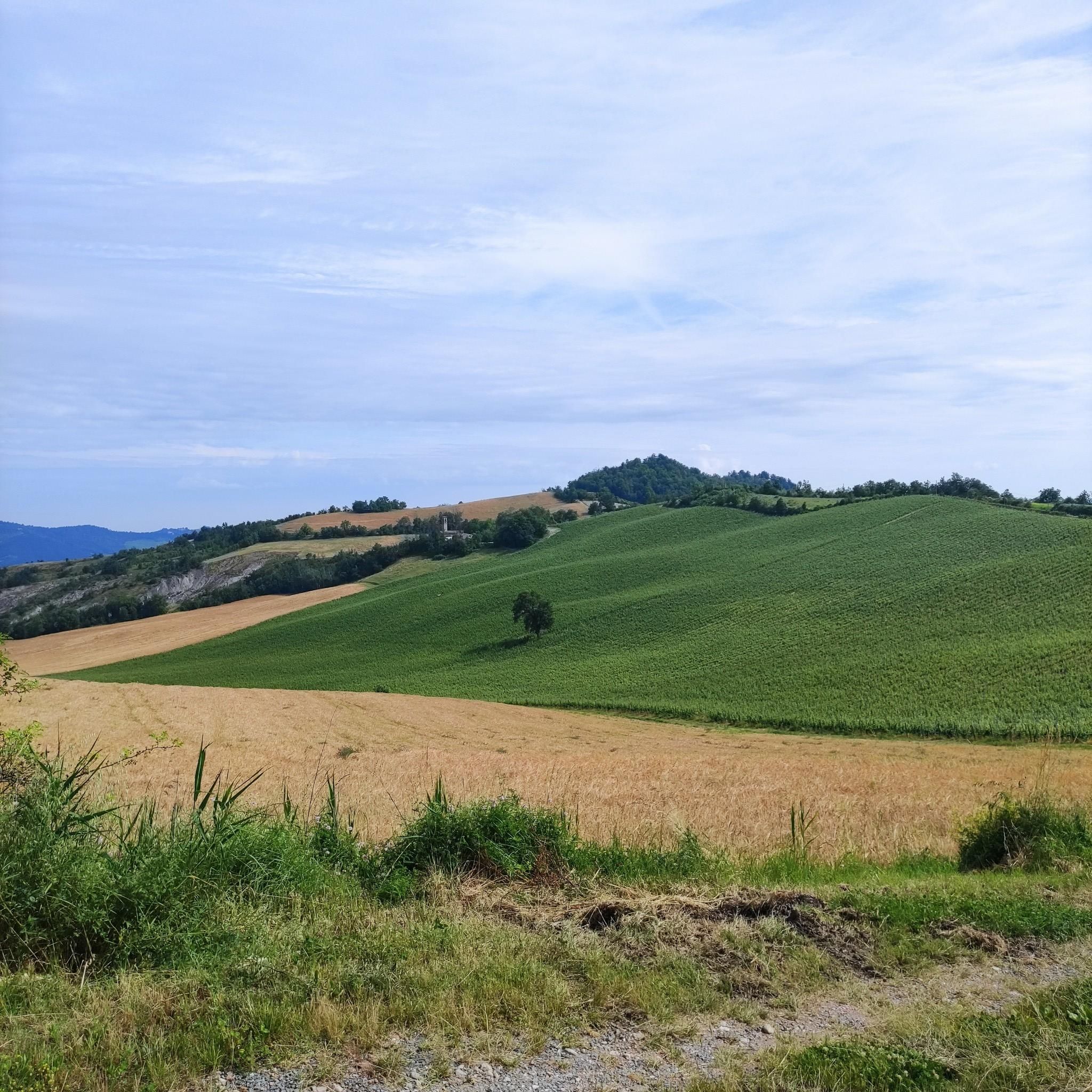
Well designed and well maintained route, always in a protected area and with wonderful views of the Oltrepo hills
1
0

Place of historical, tourist, cultural and architectural interest P.za Liberazione, 27058 Voghera PV
1
0

also suitable for reaching the high hill above Salice Terme
1
0

The old station of Salice Terme is located right on the Greenway Voghera-Varzi, which in fact follows the route of the old railway. The station was activated in 1931 and suppressed in 1966.
3
0

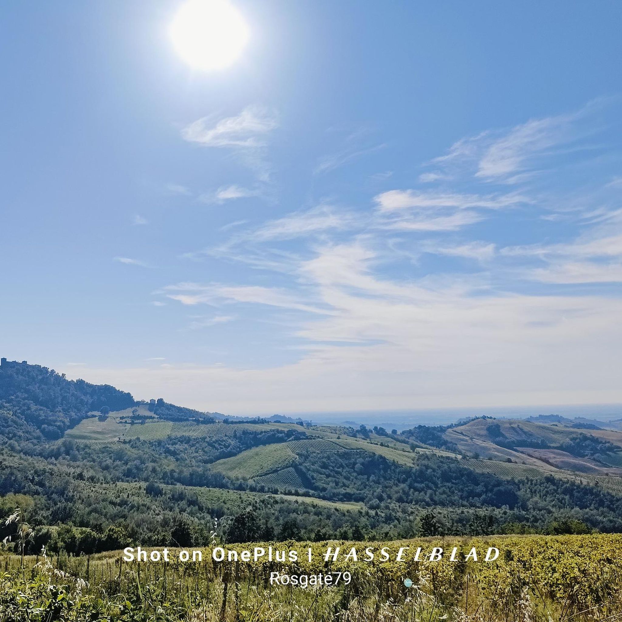
Here a splendid view of the Oltrepò Pavese hills opens up from the very pleasant Voghera-Varzi Greenway, between Voghera and Codevilla on the old railway track that once connected the towns of Val Staffora.
2
0

A park converted from old brick ponds. https://narrandoltrepo.it/il-parco-palustre-di-lungavilla-una-riserva-da-valorizzare-e-tutelare/
0
0
Frequently Asked Questions
How many hiking trails are available around Cervesina?
There are over 25 hiking trails around Cervesina, offering a variety of options for different skill levels. The area is known for its flat plains, agricultural landscapes, and paths connecting local towns, with routes often following riverine or canal systems.
Are there easy hiking trails suitable for families in Cervesina?
Yes, Cervesina offers many easy trails perfect for families. For instance, the Castello Visconteo loop from Voghera is an easy 4.8-mile (7.7 km) path that provides views of the historic Castello Visconteo. Another gentle option is the Stagni di Lungavilla loop from Lungavilla, a 1.9-mile (3.1 km) trail near ponds.
What kind of terrain can I expect on Cervesina's hiking trails?
The terrain around Cervesina is primarily characterized by flat plains with low elevation changes. You'll find a mix of open fields, agricultural landscapes, and some wooded sections. Many paths follow riverine or canal systems, connecting local towns rather than offering challenging mountain ascents.
Are there any longer or more challenging hikes in the area?
While many trails are easy to moderate, there are options for longer excursions. The Salice Terme train station – Salice Terme Cycle Path loop from Voghera is a more difficult route, spanning over 16 miles (25 km) and taking several hours to complete, offering a greater distance challenge.
What do other hikers say about the trails in Cervesina?
The routes in Cervesina are highly rated by the komoot community, with an average score of 4.3 stars from over 20 reviews. Hikers often praise the accessible paths and the varied terrain that includes open fields and sections near water bodies.
Are there any circular walks around Cervesina?
Yes, many of the trails around Cervesina are designed as circular routes. Examples include the popular Guglielmo Marconi Square – Garibaldi Monument loop from Voghera, a 5.9-mile (9.5 km) moderate trail, and the Castello Visconteo loop from Voghera.
What interesting landmarks or attractions can I see near the hiking trails?
The area around Cervesina offers several points of interest. You can explore the historic Scaldasole Castle, or discover the unique Decorative Bicycles of Codevilla. The Ponte della Gerola is another notable bridge in the vicinity.
Is Cervesina a good destination for winter hiking?
Given its flat plains and low elevation, Cervesina can be suitable for winter hiking, provided weather conditions are safe. The absence of steep ascents reduces avalanche risk, but it's always advisable to check local weather forecasts for ice or heavy snow before heading out.
Are there any trails that offer views or specific viewpoints?
While Cervesina is primarily flat, trails often provide scenic views of the agricultural landscapes, open fields, and riverine systems. The Castello Visconteo loop from Voghera offers views of the historic castle, providing a cultural landmark within the natural scenery.
Can I reach hiking trails in Cervesina using public transport?
Many routes in the Cervesina area connect local towns, which may offer public transport access. For example, the Salice Terme train station – Salice Terme Cycle Path loop from Voghera starts near a train station, indicating potential public transport links for some trailheads.
Are there less crowded hiking options around Cervesina?
While some popular routes like the Voghera loops can see more visitors, the extensive network of paths connecting towns and traversing agricultural areas means you can often find quieter sections. Exploring trails slightly off the main routes or during off-peak hours can lead to a more serene experience.
What is the best season for hiking in Cervesina?
The best seasons for hiking in Cervesina are typically spring and autumn, when temperatures are mild and the landscape is vibrant. Spring brings blooming fields, while autumn offers pleasant weather and changing foliage. Summer can be warm, but early mornings or late afternoons are still enjoyable.
Most popular routes around Cervesina
Most popular attractions around Cervesina

Get inspired with the komoot mobile app


Explore more
Browse the best Hikes in other regions.
