The best running trails around Valle Salimbene
4.4
(143)
5,676
runners
222
runs
Jogging routes around Valle Salimbene offer a diverse environment for outdoor activity, characterized by its proximity to the River Ticino and the historic city of Pavia. The region features a mix of paved surfaces and green spaces, providing accessible running paths. Terrain varies from flat riverbank routes to those with moderate elevation changes, catering to different fitness levels. This blend of natural tranquility and historical landmarks makes Valle Salimbene a compelling location for runners.
Best jogging routes around Valle Salimbene
…Last updated: November 1, 2026
21
runners
12.1km
01:18
50m
60m
Moderate run. Good fitness required. Mostly paved surfaces.
4.0
(1)
22
runners
8.45km
00:56
30m
30m
Moderate run. Good fitness required. Mostly paved surfaces.

8
runners
5.01km
00:33
20m
20m
Moderate run. Good fitness required. Mostly paved surfaces.
5.0
(1)
5
runners
7.15km
00:46
10m
10m
Moderate run. Good fitness required. Mostly paved surfaces.
5
runners
6.51km
00:40
10m
10m
Moderate run. Good fitness required. Mostly paved surfaces.
Get access to more routes and recommendations from other explorers.
Already have an account?
Our route recommendations are based on thousands of hikes, rides, and runs completed by other people on komoot.
Start today with a free account
Your next adventure awaits.
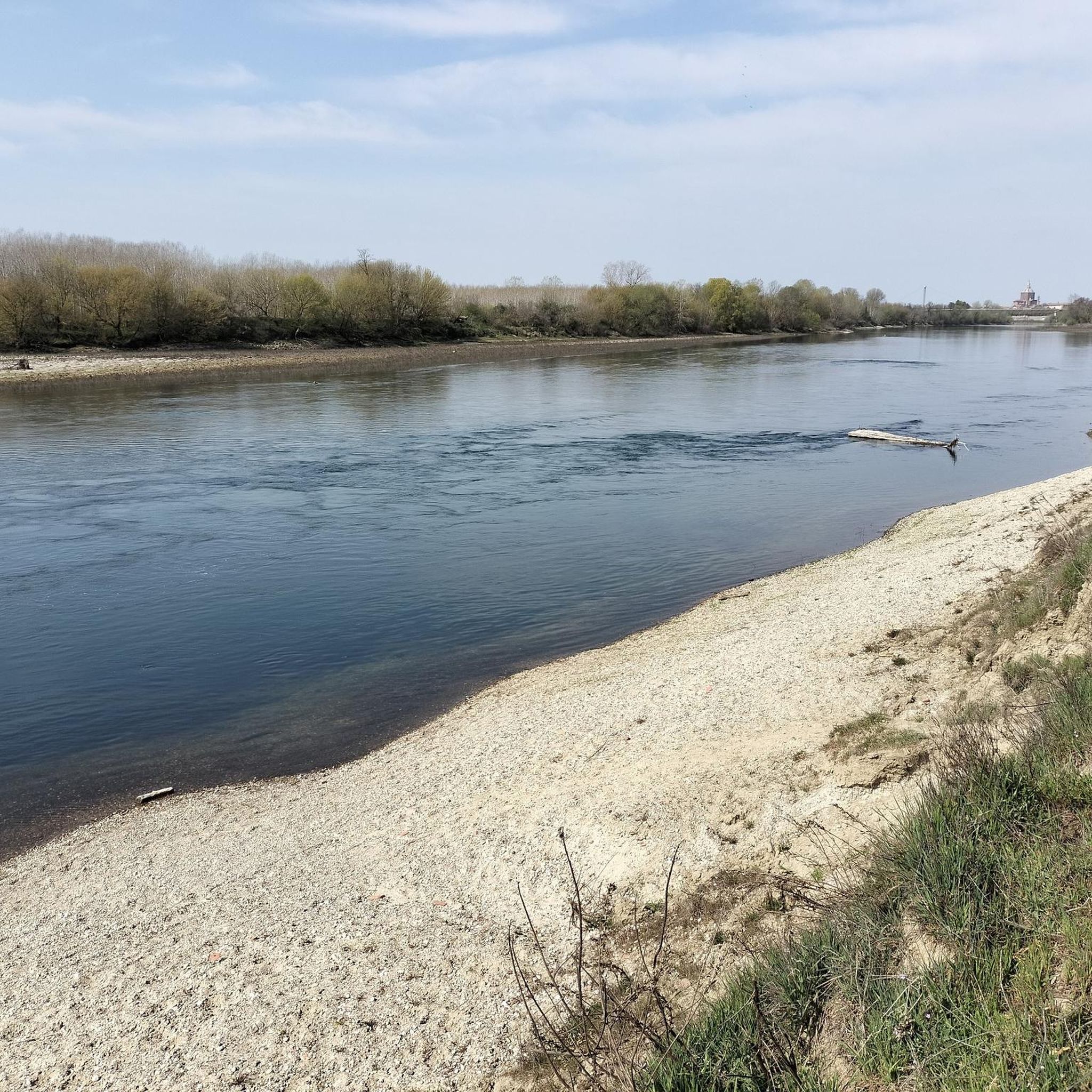
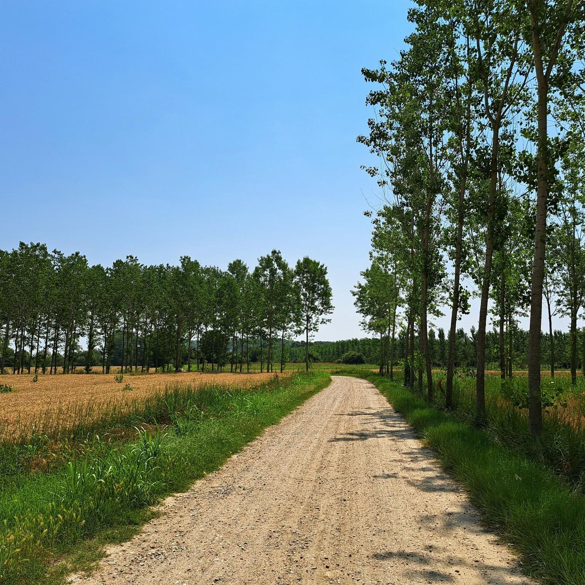
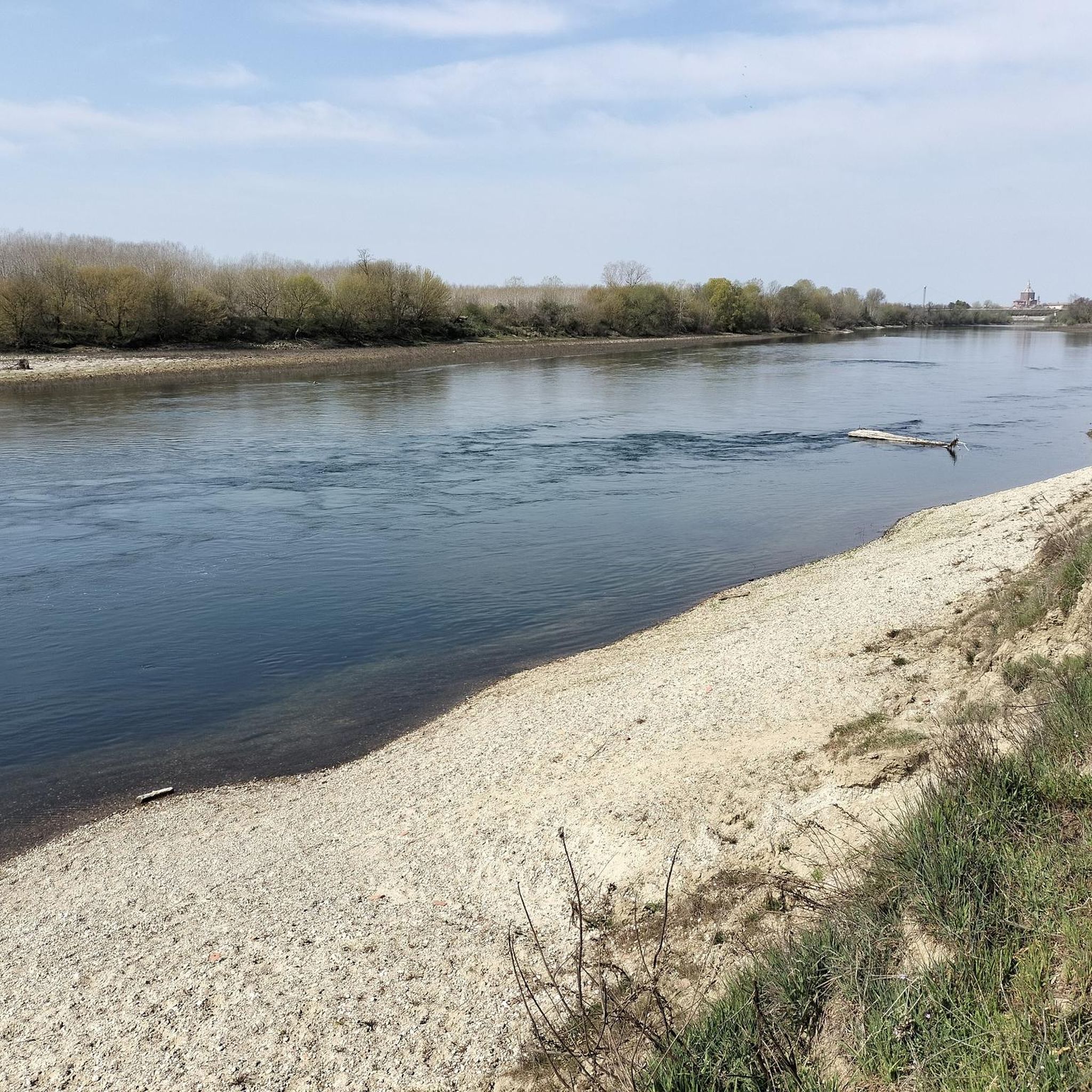
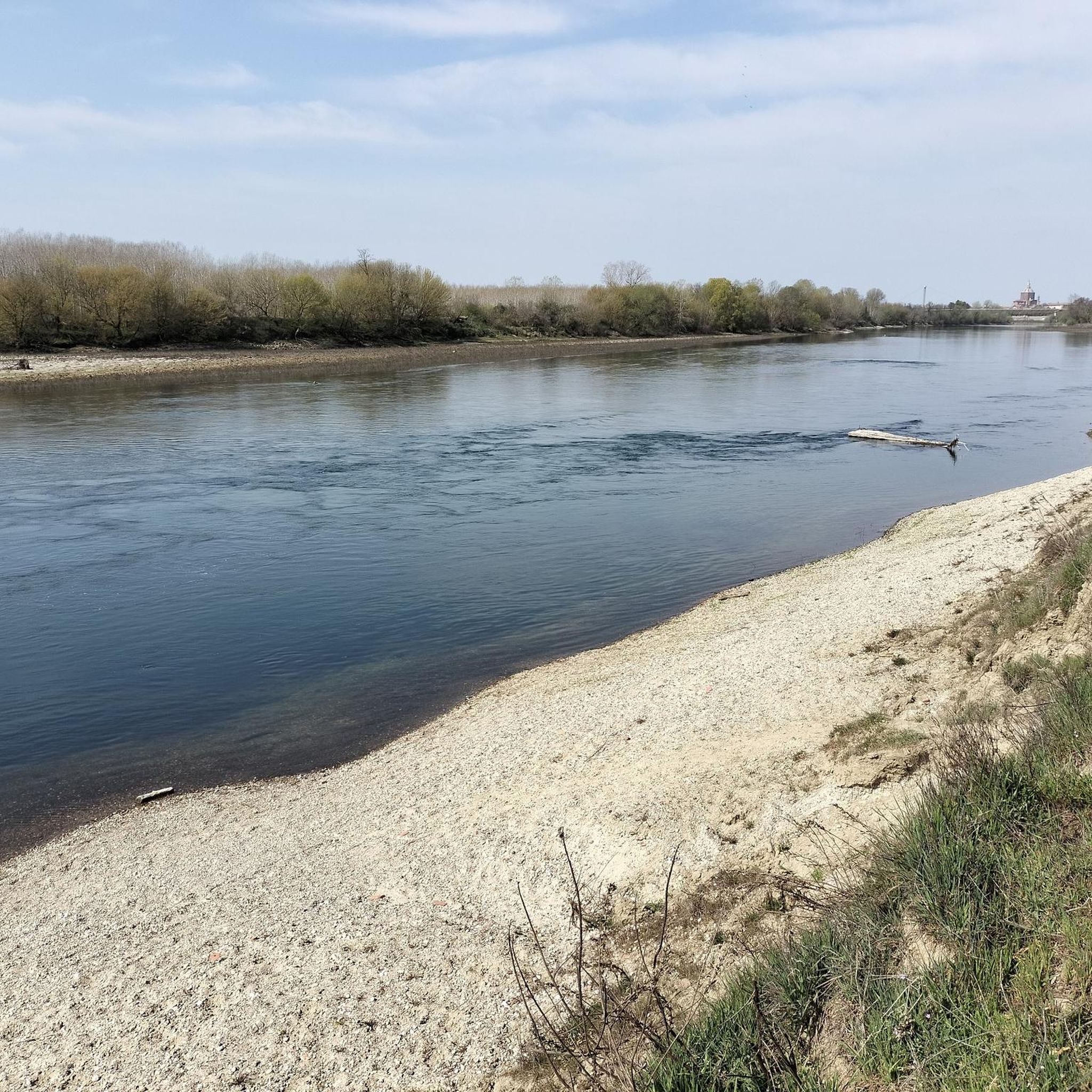

Tips from the Community

The Naviglio Pavese connects Milan to Pavia for 33.1 km and ends with its confluence into the Ticino river near Pavia, where the last hydraulic regulation lock (chiusa) is located. Main features Route and length: The canal is 33.1 km long and connects the Darsena in Milan to the dock/confluence of the Ticino in Pavia. Elevation gain and locks: The total elevation difference between Milan and the Ticino is 56.6 meters, overcome by twelve locks and the inclination of the bed. History: The works for the final completion were commissioned by Napoleon and finished in 1819, with the official inauguration on August 16, 1819, by Archduke Ranieri. Historical navigation: As early as 1820, the first steamships operated at the confluence with the Ticino, connecting Milan to the Po and the Adriatic.
0
0

The Parco del Ticino is a beautiful nature reserve that extends across the regions of Lombardy and Piedmont in Italy. The Ticino River extends for a total length of 248 kilometers, from the Passo di Novena in Switzerland to its confluence with the Po. Within the park, the stretch from Sesto Calende (VA) to the Ponte della Becca (PV) covers a length of 110 kilometers. The park is crossed by more than 750 kilometers of cycling and walking paths, of which more than 100 kilometers are along the banks of the canals.
2
0

System of locks that marks the confluence of the Naviglio Pavese into the Ticino. The Naviglio Pavese is one of the canals that form the canal system in Lombardy, once navigable.
1
1

The most beautiful place around Pavia
2
0


via Francigena just outside Pavia
1
0

Pretty little bridge in the beautiful Pavia package.
2
0

This is a wonderful cycle / pedestrian stretch along the Ticino river, which can be covered safely with any bicycle.
2
0
Frequently Asked Questions
How many running routes are available around Valle Salimbene?
Valle Salimbene offers a wide selection of running routes, with over 200 trails available for exploration. These routes cater to various preferences, from easy strolls to more challenging long-distance runs.
What types of terrain can I expect on the jogging trails in Valle Salimbene?
The jogging trails around Valle Salimbene feature a diverse environment. You'll find a mix of paved surfaces and green spaces, particularly along the serene River Ticino. Terrain varies from flat riverbank routes to those with moderate elevation changes, offering options for different fitness levels and preferences.
Are there any easy running routes suitable for beginners in Valle Salimbene?
Yes, Valle Salimbene provides several easy running options. There are 30 routes specifically categorized as easy, perfect for beginners or those looking for a relaxed jog. These often include accessible paths along the riverbanks or through local green spaces.
Can I find circular running routes in the Valle Salimbene area?
Many of the running routes in Valle Salimbene are designed as loops, allowing you to start and finish in the same location. For example, the Ponte Coperto of Pavia – Ponte Coperto of Pavia loop from Collegio Ghislieri is a moderate 4.9-mile (7.9 km) circular path that offers scenic views along the river.
What are some notable landmarks or attractions I might see while running near Valle Salimbene?
Jogging around Valle Salimbene offers a blend of natural beauty and historical sights. You can run near iconic landmarks such as the historic Ponte Coperto (the Covered Bridge) in Pavia. Other attractions in the vicinity include the impressive Visconti Castle of Pavia and the majestic Cathedral of Pavia.
Are there any longer running routes for experienced runners?
Absolutely. For experienced runners seeking a challenge, Valle Salimbene offers several longer and more demanding routes. A notable difficult option is the Certosa Mills – Covered Bridge (Pavia) loop from Travacò Siccomario, which spans 20.2 miles (32.5 km) and includes views of the Ponte Coperto.
What do other runners say about the trails in Valle Salimbene?
The running routes in Valle Salimbene are highly regarded by the komoot community, boasting an average rating of 4.5 stars from over 75 reviews. Runners frequently praise the accessible green spaces, the serene River Ticino, and the variety of paths that cater to different ability levels.
Are there any running routes that offer views of the River Ticino?
Many routes in the Valle Salimbene area provide beautiful views of the River Ticino. The riverbanks offer a serene backdrop for outdoor activities, allowing for a peaceful escape into nature. The Ponte Coperto of Pavia loop from Collegio Ghislieri is one such moderate route that runs along the river.
Are there any natural monuments or scenic spots along the running paths?
Yes, beyond the historical landmarks, you can discover natural beauty. The area is home to natural monuments like the Ponte della Becca and the tranquil In the Ticino Park. You might also encounter the White Sand Beach on the Ticino River, offering picturesque spots during your run.
What is the best time of year for jogging in Valle Salimbene?
Valle Salimbene is suitable for jogging throughout much of the year, with its accessible routes and varied landscapes. Spring and autumn generally offer the most pleasant temperatures for outdoor activities. However, the region's diverse terrain means you can find enjoyable running conditions in most seasons.
Are there routes suitable for a moderate fitness level?
Yes, the majority of running routes in Valle Salimbene are classified as moderate, with 156 such trails available. These routes provide a good balance of distance and elevation, suitable for those with a reasonable level of fitness. An example is the Running loop from Albertario, a 9.0-mile (14.5 km) trail.
Are there any routes with canal views?
Yes, some routes offer unique canal views. The Canal View loop from Sant'Alessio con Vialone is a moderate 7.7-mile (12.4 km) route that provides scenic perspectives of the local waterways, blending natural and man-made landscapes.
Most popular routes around Valle Salimbene
Most popular attractions around Valle Salimbene

Get inspired with the komoot mobile app


Explore more
Browse the best Running Trails & Routes in other regions.
