The best walks and hikes around Theisbergstegen
4.6
(624)
3,010
hikers
20
hikes
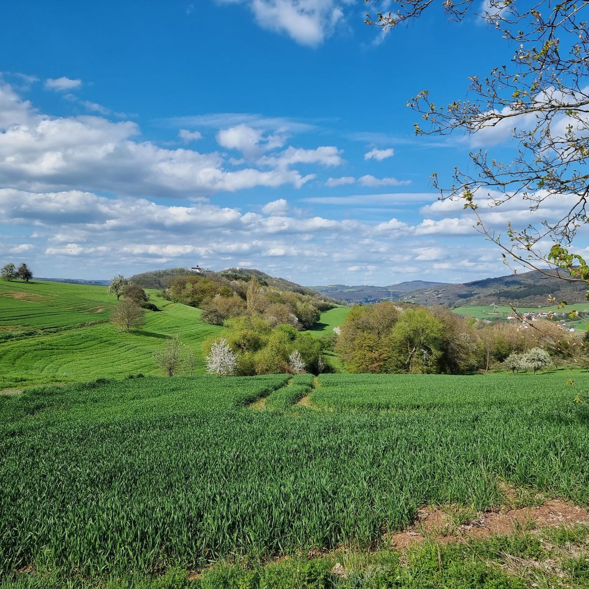
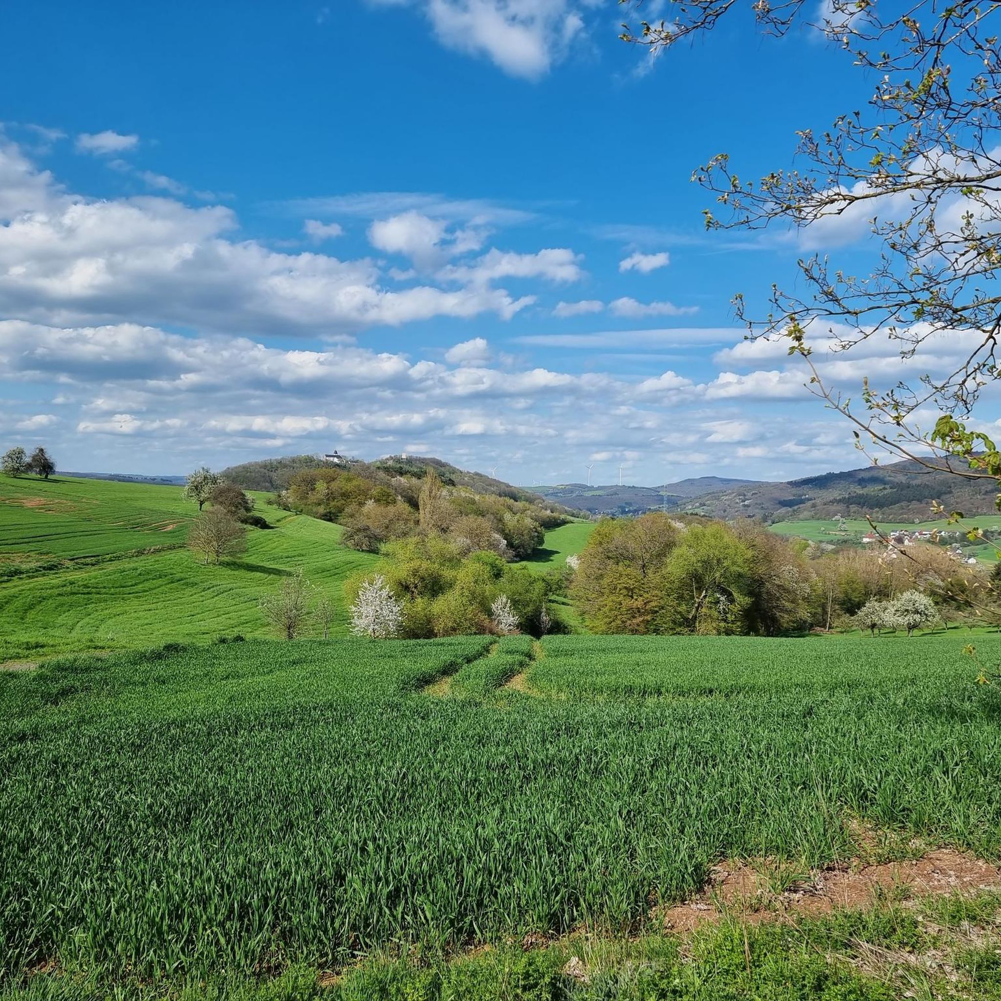
Hiking around Theisbergstegen offers diverse landscapes characterized by rolling hills and the scenic Glan river valley. The region is situated near the Palatinate Forest, featuring dense woodlands and picturesque valleys. Prominent features include the Remigiusberg hill, providing panoramic views, and numerous romantic streams that crisscross the terrain.
Best hiking trails around Theisbergstegen
- The most popular hiking route is Schützenbrunnen – Thick Oak loop from Theisbergstegen, a 6.9 miles (11.0 km) trail that takes 3 hours 19 minutes to complete.…
Last updated: May 14, 2026
4.7
(9)
29
hikers
11.0km
03:18
340m
340m
Moderate hike. Good fitness required. Easily-accessible paths. Suitable for all skill levels.
4.3
(6)
25
hikers
12.7km
03:48
400m
400m
Moderate hike. Good fitness required. Easily-accessible paths. Suitable for all skill levels.

Sign up for free
4.6
(8)
24
hikers
9.07km
02:56
420m
420m
Moderate hike. Good fitness required. Easily-accessible paths. Suitable for all skill levels.
4.8
(4)
20
hikers
6.51km
02:07
300m
300m
Moderate hike. Good fitness required. Easily-accessible paths. Suitable for all skill levels.
5.0
(1)
22
hikers
7.92km
02:02
30m
30m
Moderate hike. Good fitness required. Easily-accessible paths. Suitable for all skill levels.
Get access to more routes and recommendations from other explorers.
Sign up for free
Already have an account?
Our route recommendations are based on thousands of hikes, rides, and runs completed by other people on komoot.
Start today with a free account
Your next adventure awaits.
Login or Signup

Tips from the Community

The Zickzack-Trail on the Potzberg (also called President's Trail or Snake Path) in the Westpfalz is a popular, moderately difficult mountain bike trail with several hairpin turns. It leads in snake-like windings up the 562-meter-high "King of the Westrich" and offers a pleasant gradient.
2
0
Rest area with a sun lounger and two information boards. One for the Pfälzerwald-Verein and for the Potzberg hiking trail.
1
0
The Buchwaldhütte (approx. 90 places, PWV Theisbergstegen) is a popular, managed hut of the Pfälzerwald-Verein in Theisbergstegen. It is located at the foot of the Potzberg (near the Wild- & Greifvogelpark) and is an ideal starting point for hikes. The hut is reachable from the village in 20 minutes and offers space for hikers and families. Highlights and info: Location: Theisbergstegen, near the Potzberg ("King of the Westrich"). Facilities: Two dining rooms (approx. 60 + 30 places), outdoor seating. Hiking: Starting point for tours, e.g. family tour to the wildlife park. Operator: PWV local group Theisbergstegen-Godelhausen.
1
0
Altenburg (Deinsberg Castle Ruins) However, all that remains of it is a large stone labyrinth on a conglomerate rock at the edge of the forest, near the municipal border between Theisbergstegen and Rutsweiler. When the Altenburg was built is still unknown today. However, it can be assumed that its origin dates back to the second half of the 12th century. Because at that time Emperor Frederick I Barbarossa (reign: 1152-1190) had a whole ring of castles built to secure the borders of the old imperial land. At that time, Theisbergstegen still consisted of two separate villages, which also belonged to different lordships. The Altenburg probably previously bore the name 'Burg Deinsberg', as it was customary for castle lords and knights to name themselves after their castle seat. See: https://potzberg.de/index.php/altenburg
1
0
The old sessile oak, known as the „Dicke Eiche“ (Fat Oak), on the Potzberg, collapsed in early January 2018. potzberg.de potzberg.de Cause: The already dying tree presumably collapsed due to the storm „Burglind“ (called „Eleanor“ in other regions), after branches had previously broken off due to snow load. History: The tree was considered a natural monument and a testament to transience. Data: According to the Palatinate tree expert Horst Ohliger, the oak was approx. 16 m high in 1992 and had a trunk circumference of 3.33 m. Its age was estimated to be up to 300 years. Significance: It was a striking landmark, similar to the former Kalescheiche or the Hutbuchen of Föckelberg.
1
0
The Schützenbrunnen is a historic spring with a pond in the forest above Neunkirchen am Potzberg, created in 1894. The idyllic spot, redesigned in 1996 at approx. 430 m altitude, is a popular hiking destination with seating, surrounded by old trees, accessible via hiking trails.
1
0
The Potzbergturm is a 35-meter-high sandstone tower on the 562-meter-high Potzberg near Föckelberg (Kusel district). It was built in 1951 (inauguration 13.07.1952), offers a wide view over the Palatinate Forest to the Vosges and is a popular destination. Next to the tower, there is a wildlife park, a falconry, and a hotel-restaurant. It is located on the summit of Potzberg, near Föckelberg (Westpfalz) and offers a panoramic view over Westpfalz, the Palatinate Forest, and up to the Hunsrück/Vosges. Opening hours: There are no specific, official closing times for the tower.
1
0
The triangular boundary stone on the Potzberg, known as the "Dreieckstein", has marked the confluence of the municipal boundaries of Gimsbach, Theisbergstegen, and Rutsweiler since the original survey around 1840. It stands as a historical testament to former district boundaries and is a well-known excursion destination in the Palatinate. It served as a border point between the municipalities until the administrative reform in 1972 and also separated the districts of Kaiserslautern and Kusel.
1
0
Frequently Asked Questions
How many hiking trails are available around Theisbergstegen?
The Theisbergstegen area offers a good selection of routes, with over 20 hiking trails to explore. These include 10 easy routes and 10 moderate routes, catering to various fitness levels.
What kind of terrain can I expect on hikes around Theisbergstegen?
You can expect diverse landscapes characterized by rolling hills, dense woodlands, and the scenic Glan river valley. The region is situated near the Palatinate Forest, featuring picturesque valleys and prominent features like the Remigiusberg hill, which offers panoramic views.
Are there easy hiking trails suitable for beginners in Theisbergstegen?
Yes, Theisbergstegen offers 10 easy hiking routes, perfect for beginners or those looking for a relaxed stroll. These trails often follow romantic streams and provide gentle gradients through the scenic Glan river valley.
Are there family-friendly hiking options in Theisbergstegen?
Absolutely. The region provides shorter and less demanding trails suitable for families with children. A popular family-friendly route leads to the Potzberg, where you can visit the Potzberg Wildlife and Raptor Park for an engaging experience.
Can I bring my dog on the hiking trails in Theisbergstegen?
Generally, dogs are welcome on the hiking trails around Theisbergstegen. It's always recommended to keep them on a leash, especially in nature reserves or near wildlife. The varied terrain with streams and woodlands offers plenty for dogs to enjoy.
Are there many circular hiking routes available?
Yes, many of the hiking routes around Theisbergstegen are circular, allowing you to start and end at the same point. An example is the Schützenbrunnen – Thick Oak loop from Theisbergstegen, which offers varied forest paths and open sections.
What are some notable landmarks or viewpoints I can discover while hiking?
The region is rich in points of interest. You can find stunning panoramic views from the Remigiusberg and the Potzberg tower. Historical elements include the ruins of the 12th-century Michelsburg castle and the 'Dreieckiger Stein' (Triangular Stone). Along the Glan river, you might also spot old mill ruins. For specific attractions, consider visiting the Glantalbahn Tunnel or the Ohmbach Lake.
What is the best time of year to go hiking in Theisbergstegen?
The best seasons for hiking in Theisbergstegen are spring and autumn. In spring, meadows and trees are in bloom, offering vibrant colors. Autumn provides pleasantly mild temperatures and spectacular foliage as the leaves glow in warm hues. Summer is also pleasant, especially in the shaded forest areas.
Are there any places to eat or drink along the trails or nearby?
Yes, there are options for refreshments. The Potzberg area, for instance, has facilities near the Wildlife and Raptor Park. You can also find huts and inns in the wider region, such as the Hoher Fels Mountain Inn or the Buchwaldhütte (PWV Theisbergstegen), which are popular stops for hikers.
How accessible are the hiking trails by public transport or car?
Theisbergstegen is well-connected, featuring a hiking station at its train station, making it easily accessible by public transport. For those arriving by car, there are generally parking options available near trailheads, especially in the village center or at popular starting points like the Potzberg.
What do other hikers enjoy the most about hiking in Theisbergstegen?
The area is highly rated by the komoot community, with an average score of 4.6 stars from over 600 reviews. Hikers often praise the varied terrain, from dense woodlands to open views, and the well-maintained paths that lead through picturesque valleys and past historical sites. The tranquility and natural beauty are frequently highlighted.
Are there any specific trails that offer a good mix of nature and historical sites?
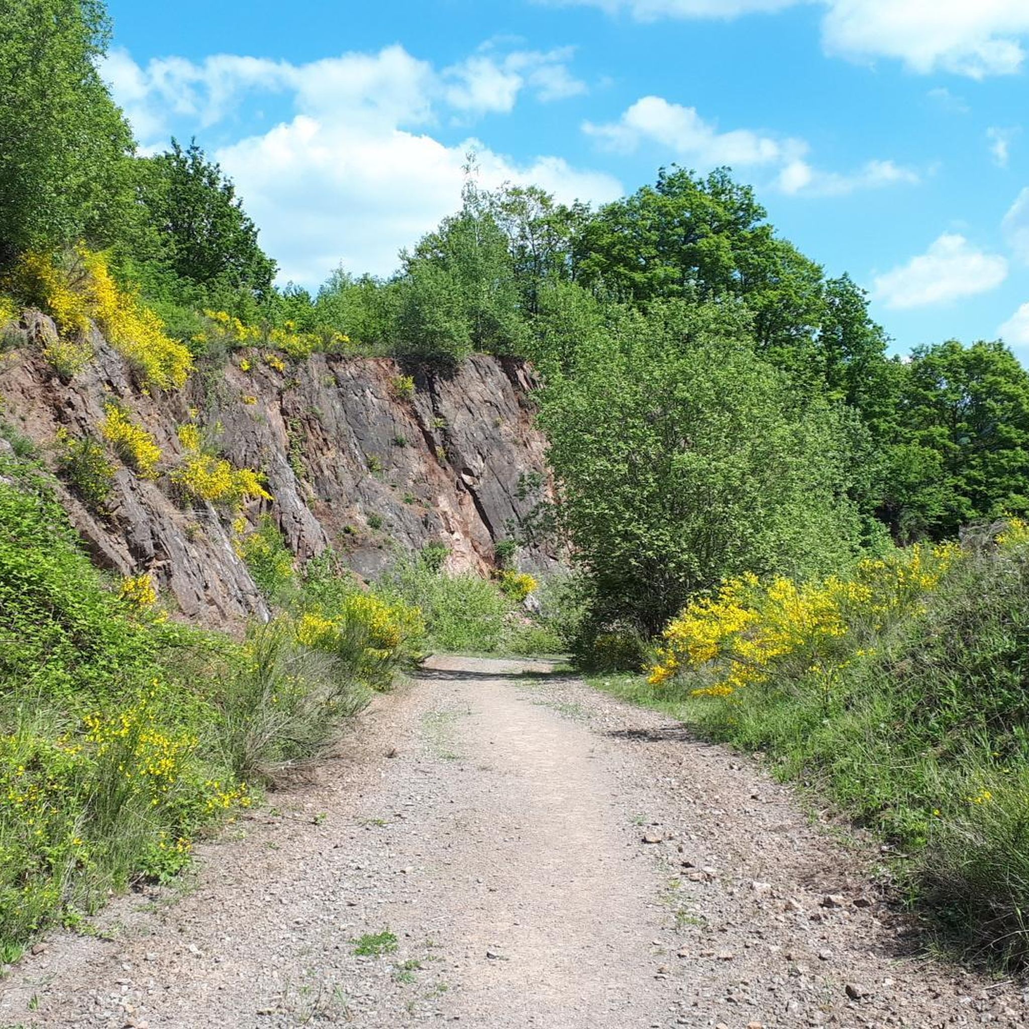
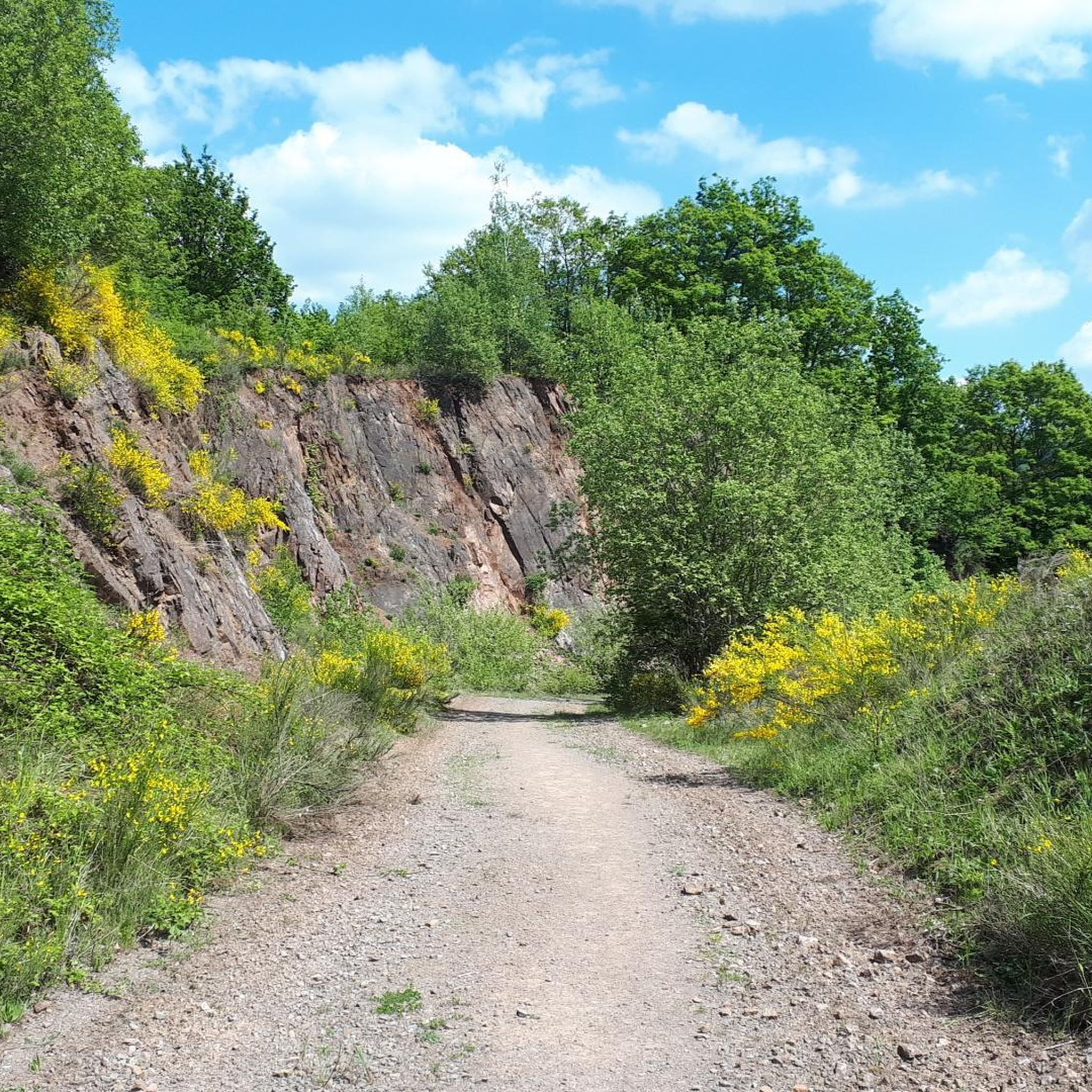
Yes, the region combines natural beauty with historical interest. Sections of the Remigius Wanderweg, for example, lead around the Remigiusberg, featuring the historic St. Remigius Church and the ruins of Michelsburg castle. You can also explore the region's geological past along an educational trail through a quarry between Haschbach and Theisbergstegen.
Most popular routes around Theisbergstegen
Most popular attractions around Theisbergstegen

Get inspired with the komoot mobile app


Explore more
Browse the best Hikes in other regions.
