The best running trails around Valdobbiadene
4.2
(14)
1,586
runners
105
runs
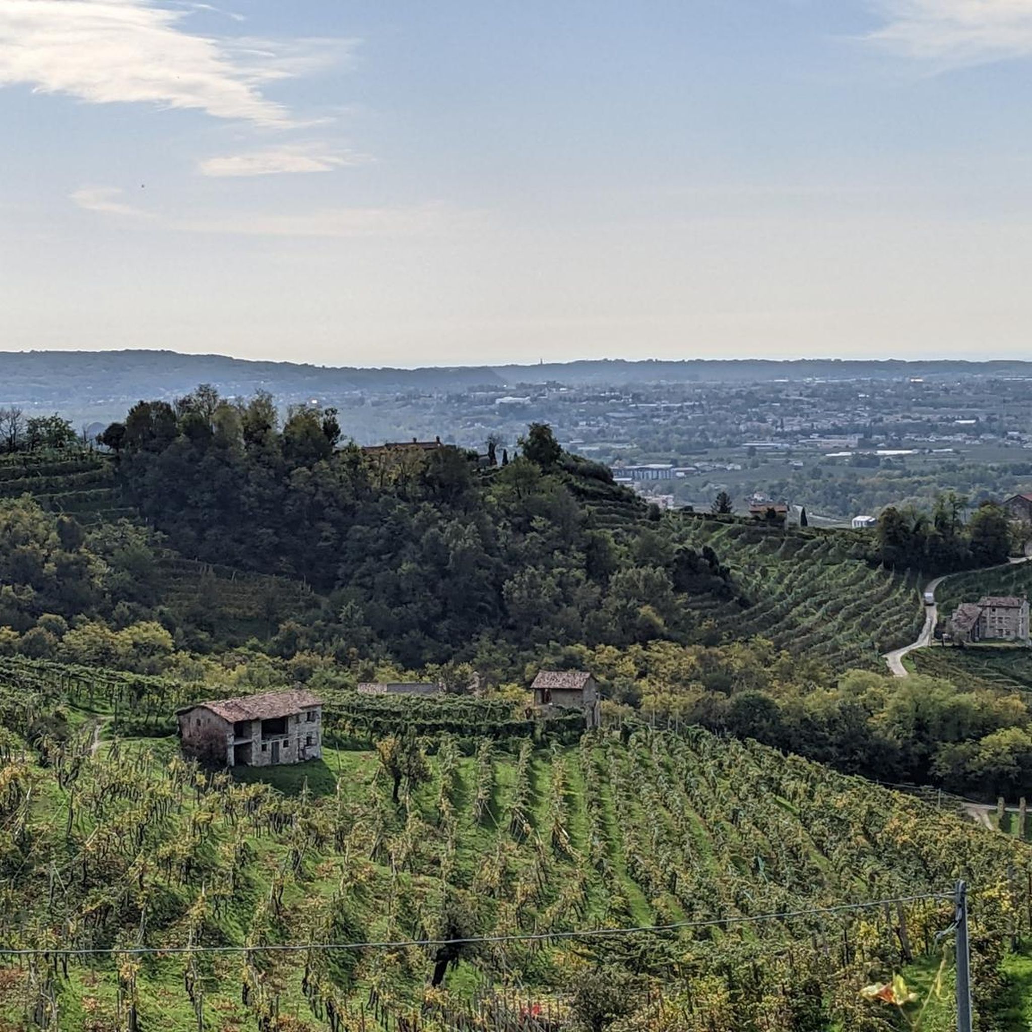
Jogging around Valdobbiadene offers a diverse terrain within the UNESCO World Heritage Prosecco Hills. The region is characterized by rolling hills meticulously cultivated with vineyards, interspersed with small parallel valleys and "ciglioni" (narrow grassy terraces). Joggers can experience a mix of paved surfaces and unpaved trails, with distant views of the Belluno Dolomites adding to the natural setting. This landscape provides varied options, from gentle vineyard paths to more challenging hill routes.
Best jogging routes around Valdobbiadene
- The most popular…
Last updated: September 26, 2026
8
runners
4.03km
00:28
80m
80m
Jog an easy 2.5-mile (4.0 km) ring tour through the Prosecco Hills in Valdobbiadene, enjoying vineyards and distant Dolomites views.
270
runners
23.9km
03:54
1,430m
1,430m
Hard run. Very good fitness required. Sure-footedness, sturdy shoes and alpine experience required.

99
runners
19.2km
02:28
710m
710m
Hard run. Very good fitness required. Mostly paved surfaces. Suitable for all skill levels.
38
runners
18.2km
02:59
1,180m
1,180m
Hard run. Very good fitness required. Sure-footedness, sturdy shoes and alpine experience required.
5.0
(1)
23
runners
26.3km
04:14
1,460m
1,460m
Hard run. Very good fitness required. Sure-footedness, sturdy shoes and alpine experience required.
Get access to more routes and recommendations from other explorers.
Already have an account?
Our route recommendations are based on thousands of hikes, rides, and runs completed by other people on komoot.
Start today with a free account
Your next adventure awaits.
Popular around Valdobbiadene

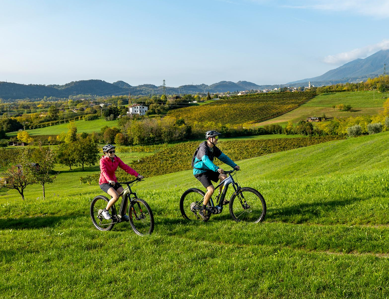
Via delle Prealpi – On the way with the MTB in the Venetian Prealps
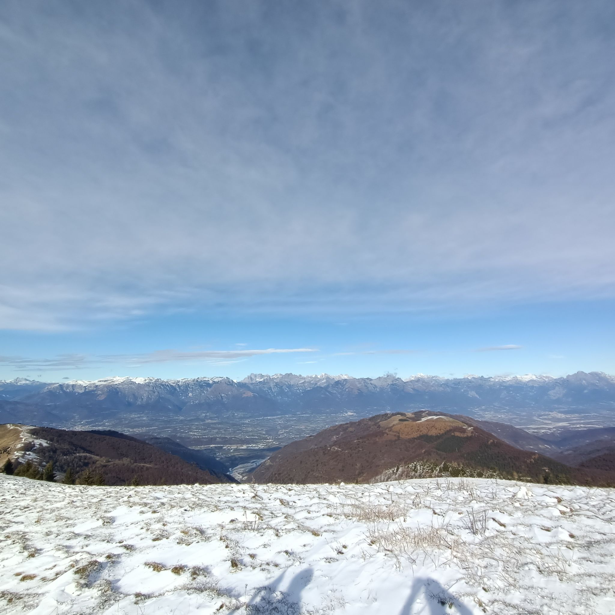
The Pedemontana del Grappa – between Prosecco hills and enchanting valleys
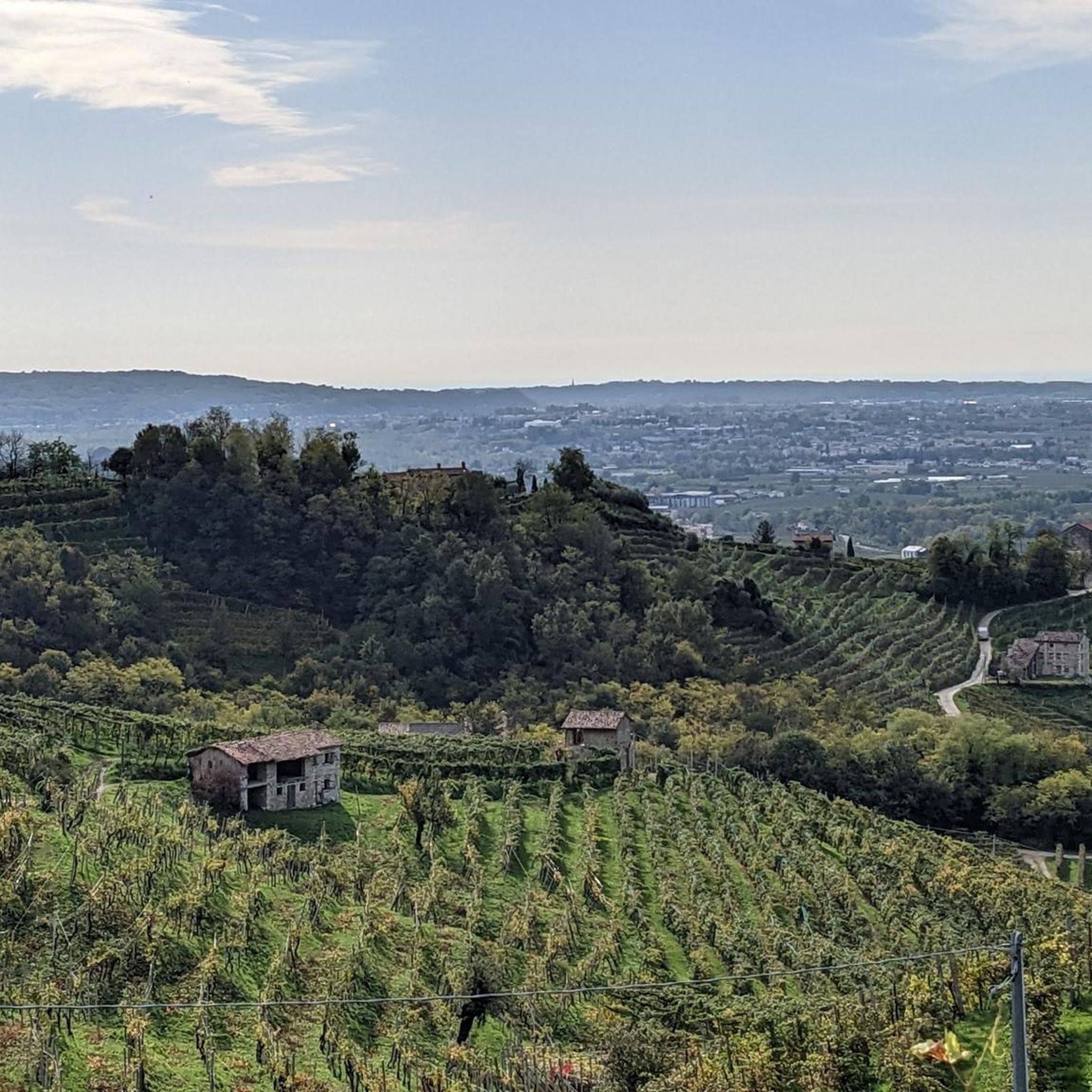
Hiking around Valdobbiadene
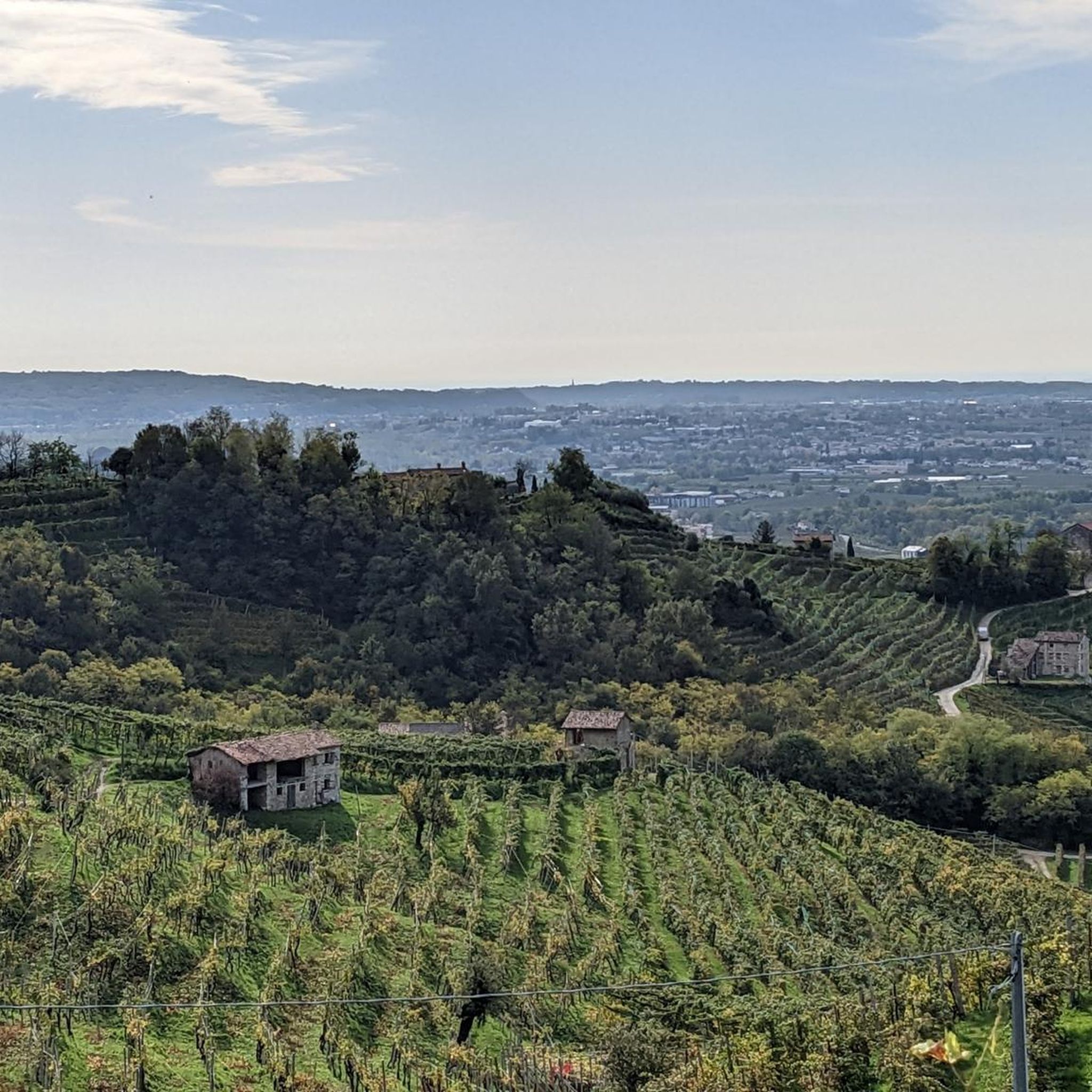
Road Cycling Routes around Valdobbiadene
MTB Trails around Valdobbiadene
Cycling around Valdobbiadene
Gravel biking around Valdobbiadene


Tips from the Community

The Church of San Floriano is a religious building located on top of a panoramic hill about 1.4 km from the center of Valdobbiadene, along the road that climbs towards Pianezze. It stands on a hill that offers a spectacular view of the Piave valley and the Prosecco hills.
11
0
Piazza Guglielmo Marconi is the main square and the beating heart of the center of Valdobbiadene, in the province of Treviso. It hosts the town hall of the municipality of Valdobbiadene. It is the main meeting place of the town and the ideal starting point for tourist itineraries and excursions among the Prosecco hills. A short walk away are the Duomo di Santa Maria Assunta and the park of Villa dei Cedri.
8
0

Great starting point for hikes on hot days, be sure to inquire about any events that may limit parking spaces in the lot.
0
0
Malga with excellent views of the Prosecco hills, Montello and the Po Valley, best enjoyed on clear days with low humidity to appreciate the view
0
0

Malga Barbaria is a farm and agriturismo located on Monte Cesen, at an altitude of 1,460 meters. Owned by the municipality and surrounded by 70 hectares of pasture, it is managed by the Gallina family for the breeding of brown cattle and the production of raw milk alpine cheeses. Generally open with continuous hours (08:30 - 18:30) from May to September, it offers catering services and sales of cured meats and dairy products. www.instagram.com/_malgabarbaria
1
0
The Path of the Daffodils (waymarker 1008) is a segment that branches off from Strada Mariech, just beyond Pianezze di Valdobbiadene, and develops in the direction of Monte Barbaria. This beautiful stretch winds along the slopes of Monte Orsere, crossing wide expanses of meadows known as Le Prese, which between April and May offer spectacular wild daffodil blooms. Majestic sunny slopes where haymaking has been the main activity for centuries. A job that involved numerous local workers. From cutting the hay, obviously by hand, to storing it in the "mede" (haystacks), to loading and transporting it downhill with the "musse" (mules). A collective property divided into regular segments which, year after year, were rented out by public auction. The rows of larch trees arranged in parallel lines are, even today, evidence of the boundaries of the mowing areas. Currently, a large part of these "prese" have been converted to woodland and the upper part is still used for seasonal grazing. The path ends at an altitude of 1,372 m, rejoining Strada Mariech near Malga Barbaria.
1
0

Located at an altitude of 1570 meters, the summit cross of Monte Cesen is an iconic symbol for hikers who frequent the Treviso Prealps. This imposing metal structure dominates the surrounding landscape, offering a landmark visible even from a great distance. Once the summit of the climb is reached, the cross welcomes visitors, opening up the view to an extraordinary panorama that ranges from the Dolomite peaks to the north to the Venice Lagoon on clearer days. The site is not just a sporting achievement, but a place of silence and contemplation where the view embraces the steep grassy slopes and the underlying Prosecco hills, doing justice to the effort spent climbing the trails that wind through pastures and mountain huts.
0
0

It's the Mariech mountain hut
0
0
Frequently Asked Questions
What kind of running routes can I find in Valdobbiadene?
Valdobbiadene offers a diverse range of running routes, from gentle vineyard paths to more challenging mountain trails. You'll find a mix of paved surfaces and accessible unpaved paths, with terrain varying from rolling hills and valleys to steep slopes and sharp ridges. The region is known for its stunning Prosecco Hills, a UNESCO World Heritage Site, providing a beautiful backdrop for any run.
Are there many running trails available in the Valdobbiadene area?
Yes, Valdobbiadene boasts a wide selection of running trails. There are over 100 routes available, catering to various fitness levels. Approximately 5 are easy, 55 are moderate, and 40 are considered difficult, ensuring options for every runner.
What are some scenic highlights or natural features I can expect to see while running in Valdobbiadene?
Many routes offer breathtaking views of the meticulously cultivated vineyards and the rolling Prosecco Hills. You can also enjoy distant panoramic views of the majestic Belluno Dolomites. The landscape is characterized by its unique 'ciglioni' (narrow grassy terraces) and in autumn, the vineyards transform into golden hues, offering a particularly evocative experience.
Are there any circular running routes in Valdobbiadene?
Yes, many routes in Valdobbiadene are circular, allowing you to start and finish in the same location. A popular option is the Prosecco Superiore Ring Trail, which winds through vineyards and historic villages. Another great loop is the Cartizze Vineyards – Valdobbiadene Vineyards loop from Valdobbiadene, offering extensive vineyard views.
What do other runners say about the trails in Valdobbiadene?
The running routes in Valdobbiadene are highly rated by the komoot community, with an average score of 4.1 stars from over 11 reviews. More than 1,400 runners have used komoot to explore the varied terrain, often praising the stunning vineyard scenery and the diverse options for different ability levels.
Are there any easy or family-friendly running routes in Valdobbiadene?
Yes, there are several easy routes suitable for beginners or families. The Prosecco Superiore Ring Trail is an accessible option, covering 2.5 miles (4.0 km) with minimal elevation gain, making it enjoyable for a leisurely run through vineyards and villages.
Can I bring my dog on the running trails in Valdobbiadene?
While many trails in the Valdobbiadene region are generally dog-friendly, it's always recommended to keep your dog on a leash, especially when passing through vineyards or near livestock. Always be mindful of local regulations and other trail users.
What are some interesting landmarks or attractions near the running routes?
Beyond the vineyards, you might encounter charming villages and family-run wineries. For those interested in natural formations, there are several caves nearby, such as Tavaran Grando Cave or Blue Grotto. The region also features various huts and bivouacs like Loff Bivouac and Agriturismo Malga Mariech, which can be points of interest along longer runs.
Is there public transport available to reach the trailheads in Valdobbiadene?
Valdobbiadene is accessible by public transport, primarily buses connecting from larger towns like Montebelluna or Conegliano, which have train stations. However, to reach specific trailheads within the scattered vineyard hills, having a car or using local taxi services might be more convenient for direct access.
Are there any routes that offer significant elevation gain for a challenging run?
Absolutely. For those seeking a challenge, routes like the Barbaria Mountain Hut – Croce del Monte Barbaria loop from Valdobbiadene offer significant elevation gain, reaching up to 1490 meters. This difficult 13.9-mile (22.4 km) path is ideal for experienced trail runners looking for a strenuous workout with rewarding views.
What is the best time of year to go running in Valdobbiadene?
The spring and autumn months are generally considered the best times for running in Valdobbiadene. Spring offers pleasant temperatures and blooming landscapes, while autumn brings cooler weather and the stunning golden hues of the vineyards. Summer can be warm, especially at midday, so early morning or late afternoon runs are recommended. Winter runs are possible, but some higher elevation trails might be affected by snow or ice.
Are there any cafes or places to stop for refreshments along the running routes?
Many running routes in Valdobbiadene pass through charming villages and near family-run wineries, offering opportunities to experience local culture, food, and wine. While not every trail has a dedicated cafe stop directly on the path, you'll often find options in the towns and hamlets along the way or at the start/end points of popular loops.
Most popular routes around Valdobbiadene
Most popular attractions around Valdobbiadene

Get inspired with the komoot mobile app


Explore more
Browse the best Running Trails & Routes in other regions.
