The best cycling routes around Brenta
4.5
(2666)
18,638
riders
193
rides
Touring cycling routes around Brenta traverse a diverse landscape, from the dramatic peaks and deep valleys of the Brenta Dolomites to the gentle, riverine scenery of the Brenta River and Riviera. The Dolomites feature rugged terrain with significant elevation changes, characterized by rocky spires and dense forests. In contrast, the Brenta River area offers largely flat paths, tracing the river's course through historic towns and past Venetian villas. This region provides varied cycling experiences across alpine and lowland environments.
Best…
Last updated: October 29, 2026
5.0
(6)
68
riders
25.8km
02:06
810m
810m
Hard bike ride. Very good fitness required. Mostly paved surfaces.
4.6
(5)
46
riders
41.5km
03:08
920m
920m

37
riders
41.0km
03:17
1,160m
1,160m
4.6
(115)
521
riders
46.4km
02:51
250m
250m
Moderate bike ride. Good fitness required. Mostly paved surfaces.
5.0
(2)
80
riders
120km
07:30
1,030m
1,030m
Hard bike ride. Very good fitness required. Mostly paved surfaces.
Get access to more routes and recommendations from other explorers.
Already have an account?
Our route recommendations are based on thousands of hikes, rides, and runs completed by other people on komoot.
Start today with a free account
Your next adventure awaits.
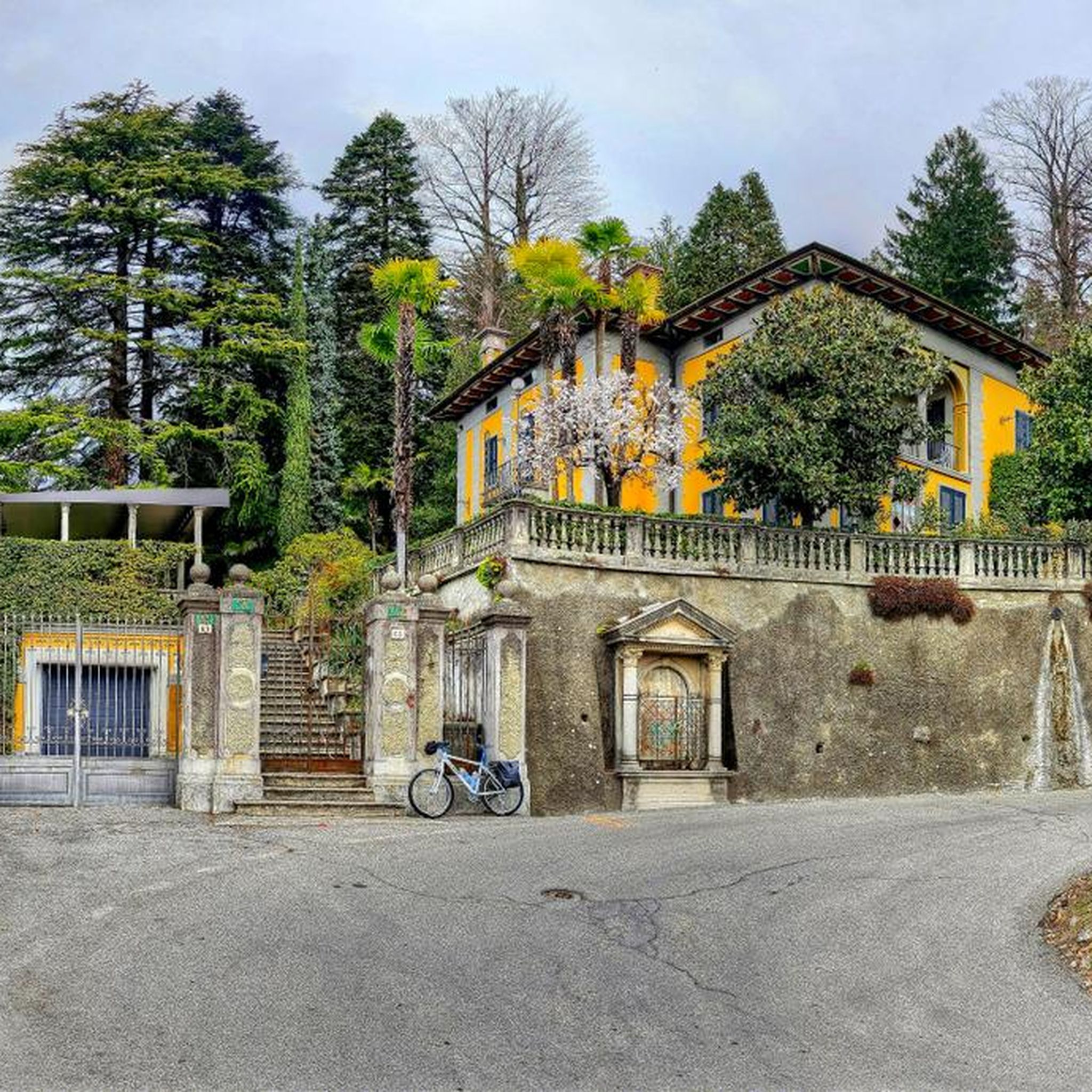
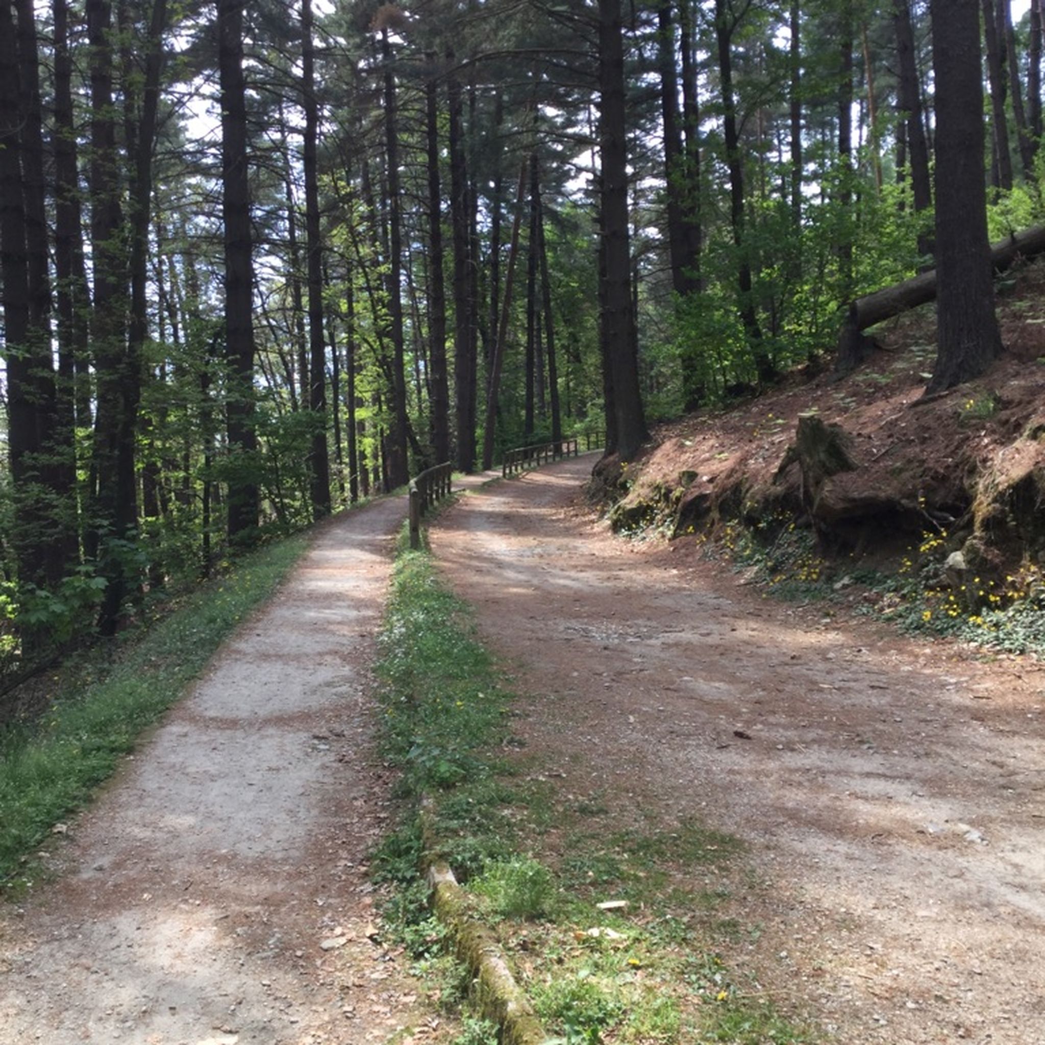
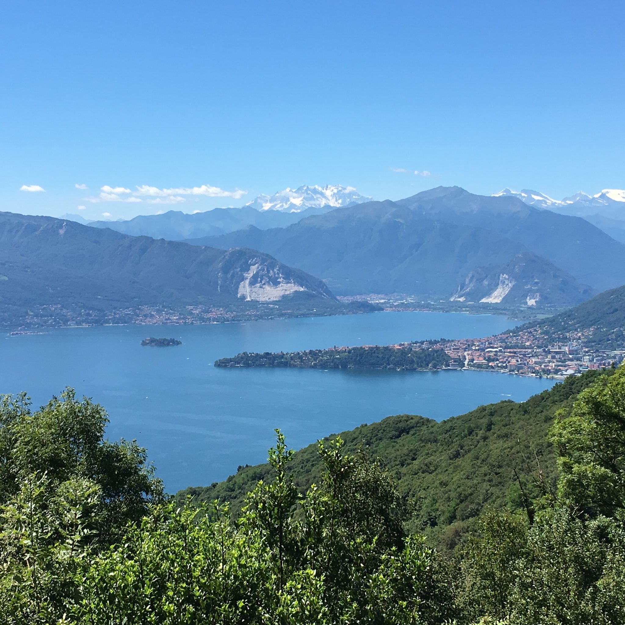
Tips from the Community

Passo S. Antonio Vararo / Cuvignone 1,036 m Passage at 1,036 meters above sea level From the South: Cittiglio to the North: Porto Valtravaglia About 200 hairpin bends on asphalt Strada Provinciale 8 https://stradedamoto.it/strade.asp?RicPas=4281
14
0
Passo del Monte Cuvignone Via Vararo, Cittiglio / Castelveccana VA The Cuvignone Pass (1,036 m above sea level) is a pass near Vararo, in the Varese area between Valcuvia and Luinese. In cycling, it is known for its demanding climb, which can be tackled from various sides (directly from Cittiglio or Castelveccana, or indirectly after climbing Sant'Antonio or crossing the San Michele Pass). It has been used for training since the time of Alfredo Binda (originally from the area) and offers particularly technical and demanding descents. Ivan Basso also trained there. The pass is also famous in the automotive world, as it has been the most selective timed section of the "ACI Varese Rally" since the 80s, today the "Rally dei Laghi". Even in motorsport, as in cycling, it has been tackled in all directions, and in all directions it has always stood out for its difficulty, consisting of fast sections, others slower but very technical, narrow hairpin bends uphill and downhill – all over a length of about 12/14 km at the discretion of the organizer. Text / Source: wikipedia.org/wiki/Passo_del_Cuvignone https://it.wikipedia.org/wiki/Passo_del_Cuvignone
14
0

A small painted village, where to savor open-air art
0
0

Using the app, you can take a guided tour of the magnificent villa and its park, also in German. https://fondoambiente.it/luoghi/villa-della-porta-bozzolo
0
0

a classic from the Varese area. It's worth it.
2
0

So you can go all the way around. Distance about 60 km mainly flat roads. Along beautiful, typical Italian towns.
0
0

Beautiful cycle path directly along the lake.
0
0
Frequently Asked Questions
How many touring cycling routes are available in Brenta, and what are their difficulty levels?
Brenta offers a wide variety of touring cycling routes, with over 200 options available. These include approximately 30 easy routes, 94 moderate routes, and 84 difficult routes, ensuring there's something for every skill level, from gentle riverside rides to challenging alpine ascents.
Are there family-friendly touring cycling routes in Brenta?
Yes, the Brenta region caters to families and less ambitious cyclists, particularly along the Brenta River. The Brenta Cycle Route is largely flat and suitable for all ages. In the Dolomites, a 'Country' version of the Dolomiti di Brenta Bike route utilizes cycle paths in the valleys, offering an easier alternative to the more challenging mountain trails.
What kind of terrain can I expect when touring cycling in Brenta?
The terrain in Brenta is incredibly diverse. In the Brenta Dolomites, you'll encounter rugged, mountainous landscapes with significant elevation changes, rocky spires, and dense forests. Conversely, the Brenta River and Riviera areas offer largely flat paths, tracing the river's course through historic towns and past magnificent Venetian villas.
What are some notable natural features or landmarks to look out for while cycling in Brenta?
The Brenta region is rich in natural beauty and historical sites. In the Dolomites, you might encounter stunning lakes like Lake Tovel and Lake Molveno, and impressive waterfalls in areas like Vallesinella. Along the Brenta River, you can admire numerous Venetian villas, such as Villa Pisani, Villa Foscari, and Villa Widmann Rezzonico Foscari. Additionally, highlights like Lake Varese and the Sacro Monte of Varese are also nearby.
Are there any circular touring cycling routes in Brenta?
Yes, Brenta features several circular routes. For a challenging ride, consider the Passo del Cuvignone and Paese dipinto di Arcumeggia − loop from Cittiglio, which covers 25.8 km with significant elevation gain. Another popular option is the Valcuvia Ring Trail, a 41.5 km difficult path offering a challenging ride through undulating landscapes.
What is the best time of year for touring cycling in Brenta?
The best time to visit depends on the specific area you plan to cycle. The Brenta River routes, being largely flat, can be ridden year-round. For the higher altitudes and more challenging routes in the Brenta Dolomites, the warmer months from late spring to early autumn (typically May to October) are ideal, as snow will have melted and mountain passes are open.
What do other touring cyclists enjoy most about cycling in Brenta?
The komoot community highly rates touring cycling in Brenta, with an average score of 4.4 stars from over 2200 reviews. Cyclists often praise the diverse landscapes, from the dramatic alpine scenery of the Dolomites to the cultural richness of the Brenta River's historic towns and villas. The variety of routes catering to different skill levels is also a frequently highlighted positive aspect.
Are there any routes that combine both mountain and valley scenery?
Absolutely. The 'Dolomiti-Garda Alpine Cycling Route' (DoGa) is a prime example, covering 110 km from the Brenta Dolomites to Lake Garda. This route incorporates secondary roads, cycle paths, and forest roads, offering breathtaking views of the Adamello-Presanella Group and diverse landscapes, from fruit orchards to alpine pastures.
Can I find cafes or amenities along the touring cycling routes?
Yes, especially along the Brenta River and Riviera, routes often pass through charming towns like Bassano del Grappa and Padua, where you'll find numerous cafes, restaurants, and other amenities. In the Brenta Dolomites, mountain huts provide resting points and opportunities to sample local cuisine amidst stunning panoramas, particularly on longer routes like the 'Dolomiti di Brenta Bike'.
Are there any routes that offer significant elevation challenges?
For cyclists seeking a significant challenge, the Brenta Dolomites provide ample opportunities. The Monte San Martino and Valcuvia Loop is a difficult 41.0 km trail with over 1150 meters of elevation gain, leading through mountainous terrain and valleys. These routes are perfect for experienced touring cyclists looking to test their endurance.
What are some good routes for exploring the Brenta River area?
The Brenta Cycle Route is an excellent choice for exploring the riverine scenery and cultural attractions. It traces the river's course through various provinces, connecting charming towns and leading past the famous Venetian villas. Sections like the Valsugana cycle path are mostly paved and offer a gentle, often downhill, ride when traveling from Trentino to Veneto.
Are there any routes that take me past lakes or offer lake views?
Many routes in Brenta offer beautiful lake views. For instance, the Cycle Route Towards Luino – Luino lakefront loop from Cittiglio is a moderate 47 km route that provides scenic views of the lakefront. Additionally, the Brenta Dolomites are home to stunning lakes like Lake Tovel and Lake Molveno, which are often visible from various cycling paths.
Most popular attractions around Brenta

Get inspired with the komoot mobile app


Explore more
Browse the best Cycling routes in other regions.
