The best walks and hikes around Thalheim/Erzgebirge
4.7
(582)
1,775
hikers
91
hikes
Hiking around Thalheim/Erzgebirge offers diverse landscapes within Germany's scenic Erzgebirge (Ore Mountains) district. The region features rolling hills, dense forests, and picturesque valleys, providing a variety of trails. The overarching Ore Mountains landscape includes undulating terrain and lush woodlands. Natural features like the Zwönitz River and the Greifensteine Observation Rock contribute to the area's varied topography.
Best hiking trails around Thalheim/Erzgebirge
- The most popular hiking route is Pioneer Rock with Valley Guardian – Thalheimer Bastei loop from Thalheim Mitte, a 7.3 miles (11.7 km) trail that takes 3 hours 14 minutes to complete, featuring notable rock formations.
- Another top favourite among local hikers is Forzbachl Hut – Flügelhöhe Shelter (551 m) loop from Thalheim (Erzgebirge), a difficult 12.0 miles (19.3 km) path. This route traverses forest paths and ascends to higher elevations, offering expansive views.
- Local hikers also love the Flügelhöhe Shelter (551 m) – Pionierweg Trail Signpost loop from Thalheim/Erzgebirge, a 2.8 miles (4.6 km) trail leading through woodlands and past a shelter, often completed in about 1 hour 18 minutes.
- Hiking around Thalheim/Erzgebirge is defined by the undulating terrain of the Ore Mountains, dense forests, and picturesque valleys. The network offers options for various ability levels, from easy walks to more challenging routes.
- The routes in Thalheim/Erzgebirge are highly rated by the komoot community with an average score of 4.7 stars from over 500 reviews. More than 1700 hikers have used komoot to explore Thalheim/Erzgebirge's varied terrain.
Last updated: June 26, 2026
4.7
(49)
166
hikers
Moderate hike. Good fitness required. Easily-accessible paths. Suitable for all skill levels.
4.8
(38)
105
hikers
Hard hike. Very good fitness required. Easily-accessible paths. Suitable for all skill levels.

Sign up for free
4.8
(24)
102
hikers
Easy hike. Great for any fitness level. Easily-accessible paths. Suitable for all skill levels.
4.7
(48)
101
hikers
6.29km
01:39
60m
50m
Easy hike. Great for any fitness level. Easily-accessible paths. Suitable for all skill levels.
4.8
(16)
76
hikers
Easy hike. Great for any fitness level. Easily-accessible paths. Suitable for all skill levels.
Get access to more routes and recommendations from other explorers.
Sign up for free
Already have an account?
Our route recommendations are based on thousands of hikes, rides, and runs completed by other people on komoot.
Start today with a free account
Your next adventure awaits.
Login or Signup
Popular around Thalheim/Erzgebirge
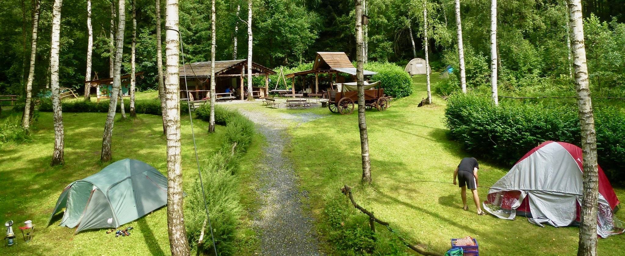
Nature campsites — 13 magical places around Germany
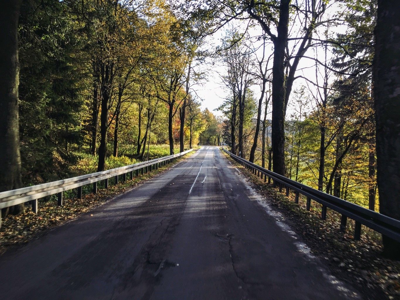
Weekend tours in the Ore Mountains

Wandertouren - Gipfelglück
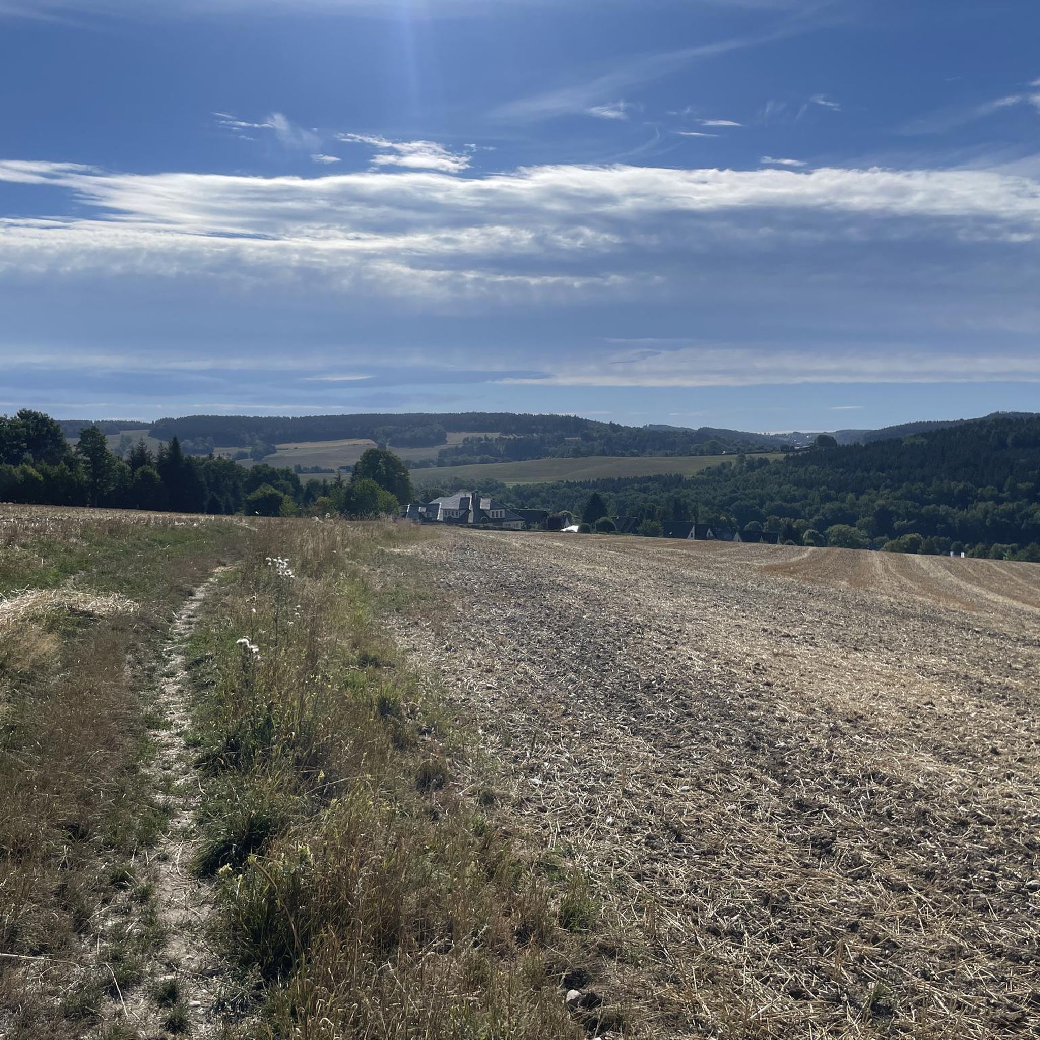
Cycling around Thalheim/Erzgebirge
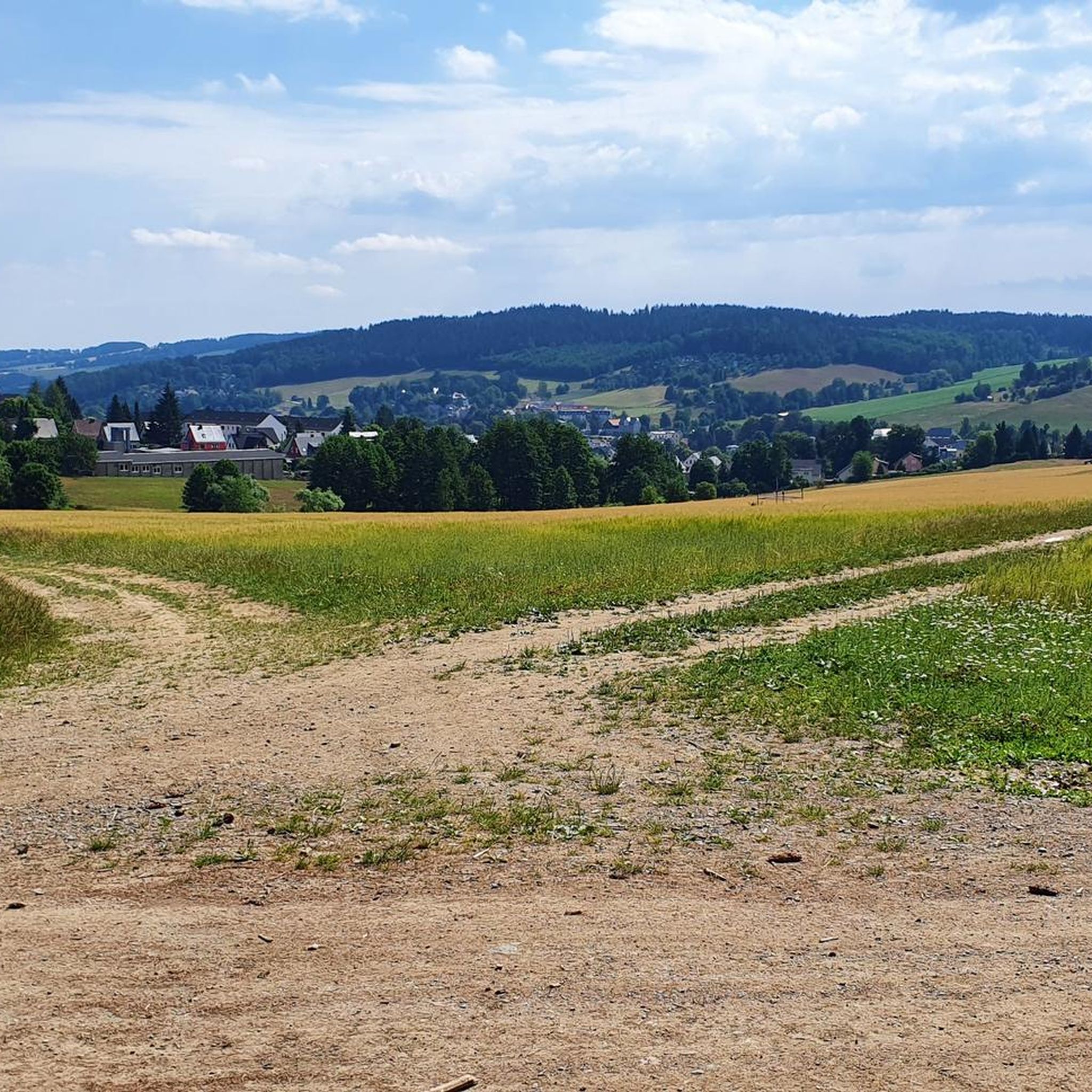
Running Trails around Thalheim/Erzgebirge
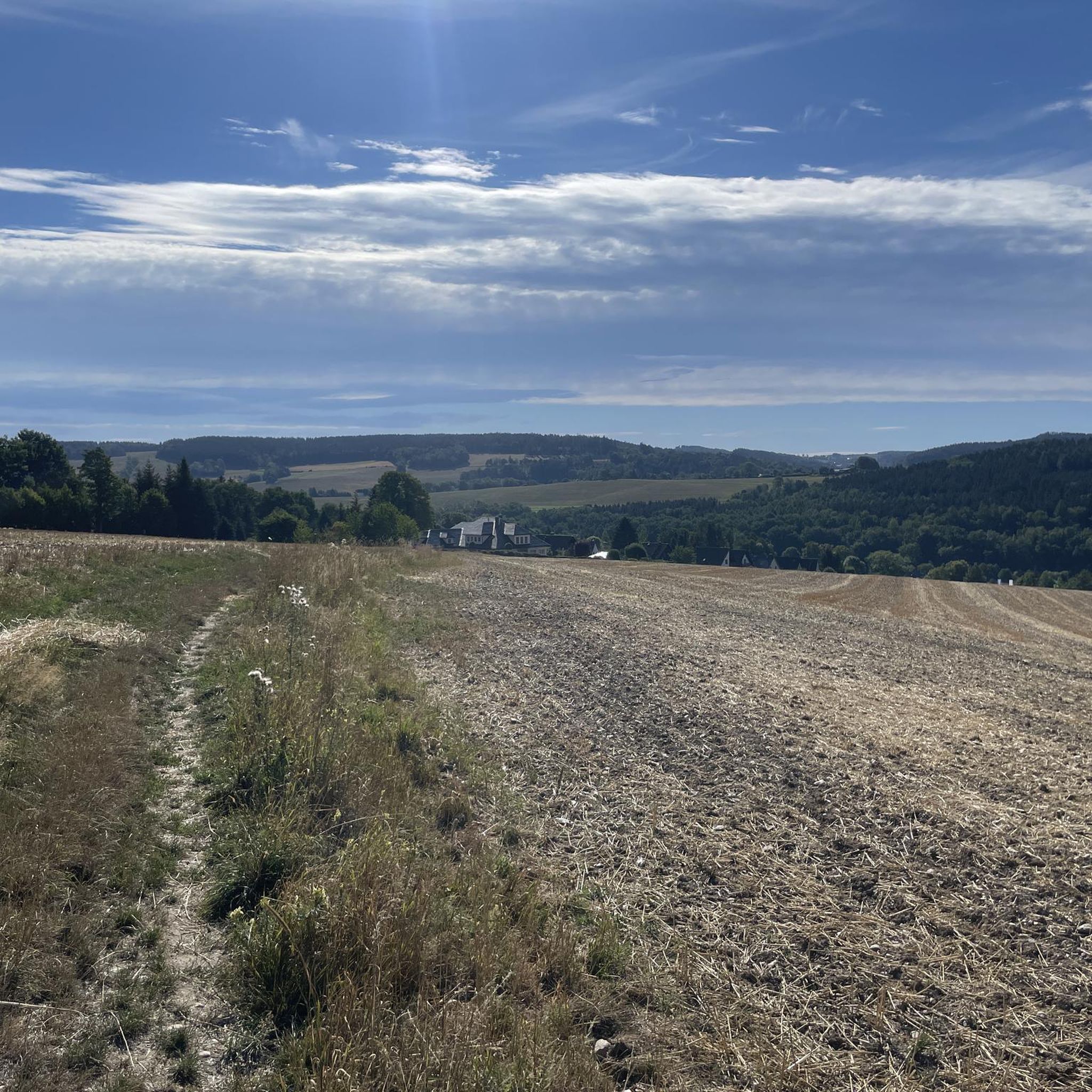
Road Cycling Routes around Thalheim/Erzgebirge
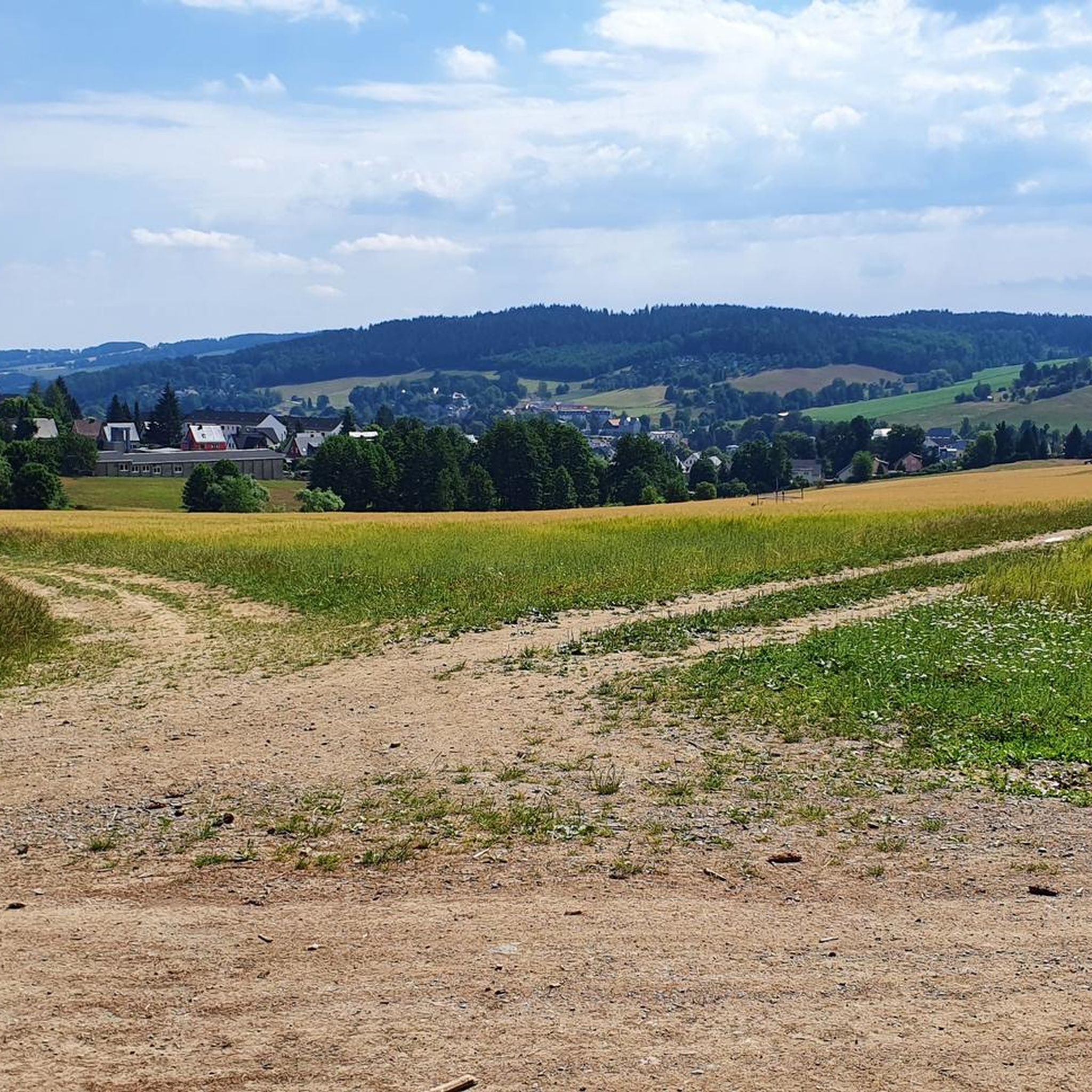
MTB Trails around Thalheim/Erzgebirge

Gravel biking around Thalheim/Erzgebirge


Tips from the Community

Very nice tour and lots of great views.
1
0
Very nice tour and lots of great views.
0
0
Very nice tour and lots of great views.
0
0
Very nice tour and lots of great views.
0
0
Very nice tour and lots of great views.
0
0
Very nice tour and lots of great views.
0
0
Very nice tour and lots of great views.
0
0

a very nice place to rest
0
1
Frequently Asked Questions
How many hiking trails are available in Thalheim/Erzgebirge?
Thalheim/Erzgebirge offers a wide variety of hiking experiences, with nearly 100 routes to explore. These include 52 easy trails, 35 moderate routes, and 6 challenging paths, ensuring options for every skill level.
What is the best time of year to go hiking in Thalheim/Erzgebirge?
The best seasons for hiking in Thalheim/Erzgebirge are spring and summer, when the natural landscapes are vibrant and green. Autumn also offers a spectacular experience as the forests transform into a display of rich colors.
Are there any easy, family-friendly hikes in the area?
Yes, there are many easy routes suitable for families. For example, the Flügelhöhe Shelter (551 m) – Pionierweg Trail Signpost loop from Thalheim/Erzgebirge is an easy 4.6 km trail through woodlands, often completed in about 1 hour 18 minutes. Another gentle option is the Christelgrundteich – Flügelhöhe Shelter (551 m) loop from Thalheim (Erzgebirge), which is 5.2 km long.
What kind of natural features can I expect to see on the trails?
The region is characterized by the undulating terrain of the Ore Mountains, dense forests, and picturesque valleys. You can find features like the Zwönitz River, which offers scenic views, and the Forzbachl-Quelle, a marshy forest spot that is the source of a small stream. The Source of the Zwönitz River is a notable natural monument.
Are there any historical landmarks or castles to visit while hiking?
Yes, the area around Thalheim/Erzgebirge is rich in history. You can explore historical sights like Klaffenbach Water Castle or the Former Greifenstein Castle. The region also features the Röhrgrabenweg, an old mining canal trail that provides insights into the area's industrial past.
What do other hikers enjoy most about the trails in Thalheim/Erzgebirge?
The trails in Thalheim/Erzgebirge are highly rated by the komoot community, with an average score of 4.7 stars from over 500 reviews. Hikers often praise the diverse landscapes, from rolling hills and dense forests to picturesque valleys, and the well-maintained network of trails suitable for various ability levels.
Are there any circular walks available?
Many of the routes in Thalheim/Erzgebirge are designed as circular walks, allowing you to start and end at the same point. An example is the moderate Pioneer Rock with Valley Guardian – Thalheimer Bastei loop from Thalheim Mitte, which covers 11.7 km and features notable rock formations.
Are there any viewpoints offering panoramic views?
Absolutely. The Erzgebirge ridge offers numerous trails with spectacular panoramic views. The Greifensteine Observation Rock, at 731 meters, provides extensive views over the Ore Mountains, Augustusburg, and Chemnitz. You can also find a View of Stollberg and Hoheneck Castle from the southeast.
Are there any longer, more challenging hikes for experienced trekkers?
For experienced hikers, there are more challenging options. The Forzbachl Hut – Flügelhöhe Shelter (551 m) loop from Thalheim (Erzgebirge) is a difficult 19.3 km path that traverses forest paths and ascends to higher elevations, offering expansive views.
Are there places to rest or find refreshments along the trails?
Yes, you can find resting spots and huts. The Forzbachl Hut is a known point of interest, and the Tabakstanne in Thalheim is a traditional resting place that offers wonderful views. The Greifensteine Mountain Hotel also provides facilities.
What is the Forzbachl-Quelle and can I visit it?
The Forzbachl-Quelle is the source of a small stream, located in a marshy spot within the forest near Thalheim's Eisenweg and the black cross. It's a natural feature you can encounter on hikes like the Forzbachl spring – Forzbachl Hut loop from Tabakstanne.
Most popular routes around Thalheim/Erzgebirge
Most popular attractions around Thalheim/Erzgebirge

Get inspired with the komoot mobile app


Explore more
Browse the best Hikes in other regions.
