The best MTB trails around Ostiglia
4.1
(44)
325
riders
73
rides
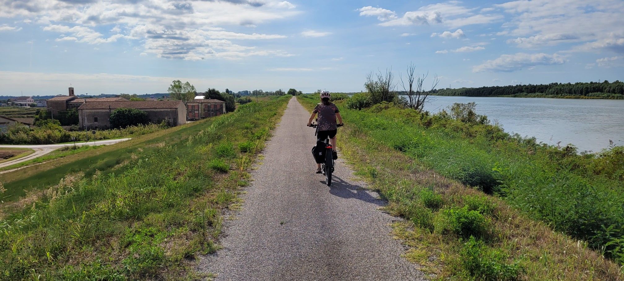
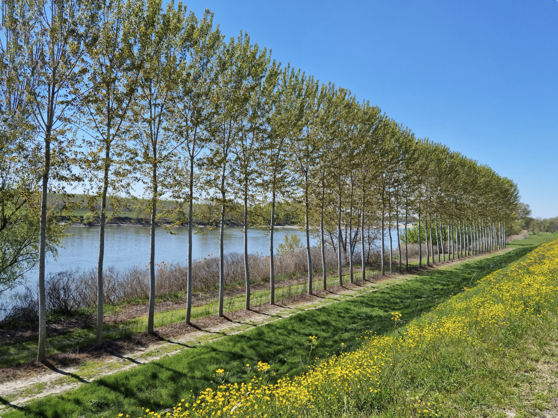
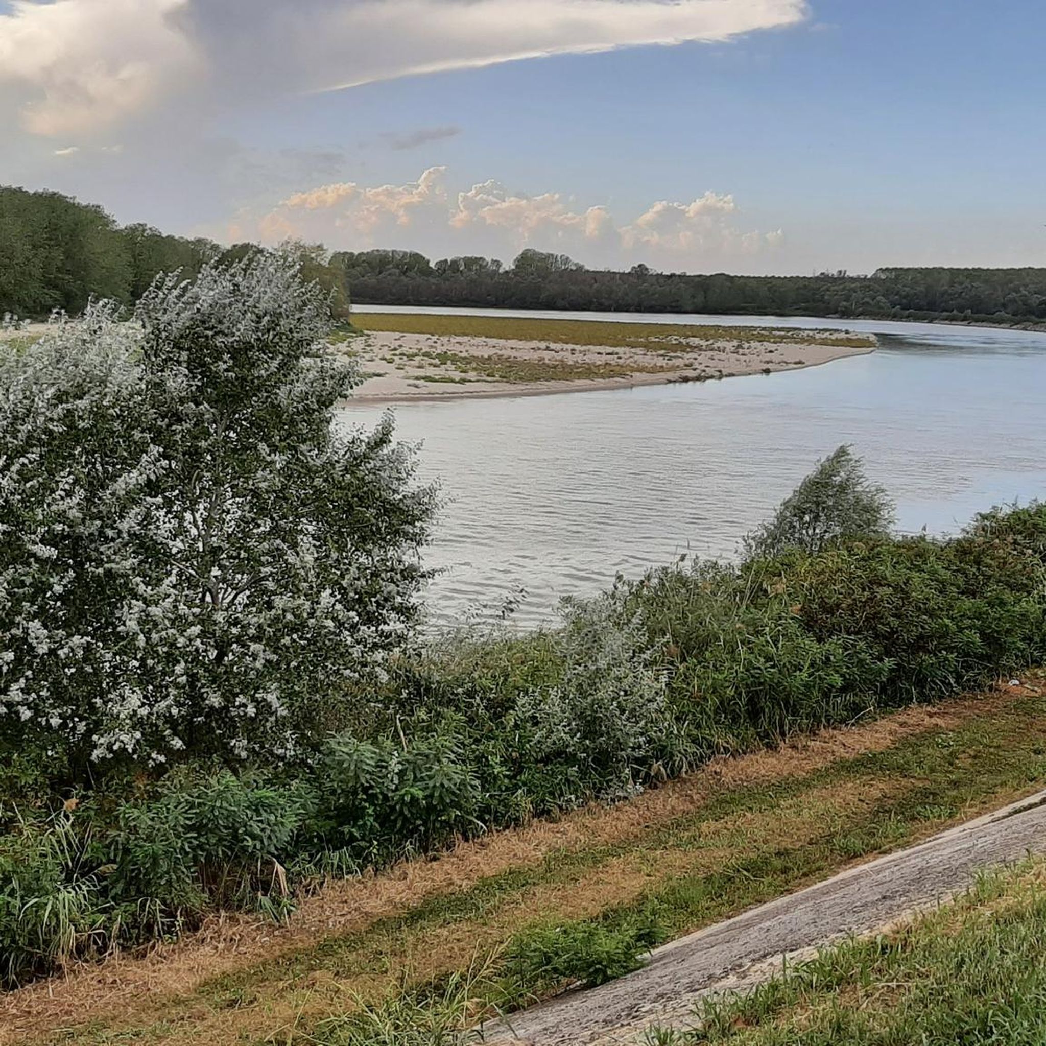
Mountain biking around Ostiglia features routes primarily across flat river plains, characterized by the Po and Adige rivers and their associated waterways. The terrain includes agricultural landscapes, riverside paths, and occasional small wooded areas like the Bosco del Tartaro. Elevation gains are minimal, typically under 100 meters, making for generally accessible and long-distance rides. The region's network of paths often connects historical sites and small towns along the riverbanks.
Best mountain bike trails around Ostiglia
- The most popular mountain bike trail is San Siro Pumping Station – Matilda Tower of Governolo loop from Ostiglia, a 30.9 miles (49.7 km) trail that takes 2 hours 35 minutes to complete. This route connects historical landmarks and river infrastructure.
- Another top favourite among local mountain bikers is Ostiglia–Revere Bridge over the Po – Bridge over the Po loop from Ostiglia, a moderate 30.3 miles (48.9 km) path. This trail offers extensive views of the Po River and its bridges.
- Local mountain bikers also love the Matilda Tower of Governolo – Conca di Governolo loop from Ostiglia, a 27.3 miles (43.9 km) trail leading through riverine landscapes and historical points, often completed in about 2 hours 22 minutes.
- Mountain biking around Ostiglia is defined by river plains, agricultural fields, and historical waterways. The network offers options for various ability levels, with many routes suitable for longer, less strenuous rides.
- The routes in Ostiglia are highly rated by the komoot community with an average score of 4.2 stars from over 40 reviews. More than 200 mountain bikers have used komoot to explore Ostiglia's varied terrain.
Last updated: October 4, 2026
4.4
(5)
29
riders
Moderate mountain bike ride. Good fitness required. Suitable for all skill levels.
4.9
(7)
24
riders
Moderate mountain bike ride. Good fitness required. Advanced riding skills necessary.

5.0
(1)
14
riders
28.4km
01:28
60m
60m
Easy mountain bike ride. Great for any fitness level. Suitable for all skill levels.
4.5
(2)
9
riders
Moderate mountain bike ride. Good fitness required. Suitable for all skill levels.
9
riders
38.9km
02:01
60m
60m
Moderate mountain bike ride. Good fitness required. Suitable for all skill levels.
Get access to more routes and recommendations from other explorers.
Already have an account?
Our route recommendations are based on thousands of hikes, rides, and runs completed by other people on komoot.
Start today with a free account
Your next adventure awaits.
Popular around Ostiglia
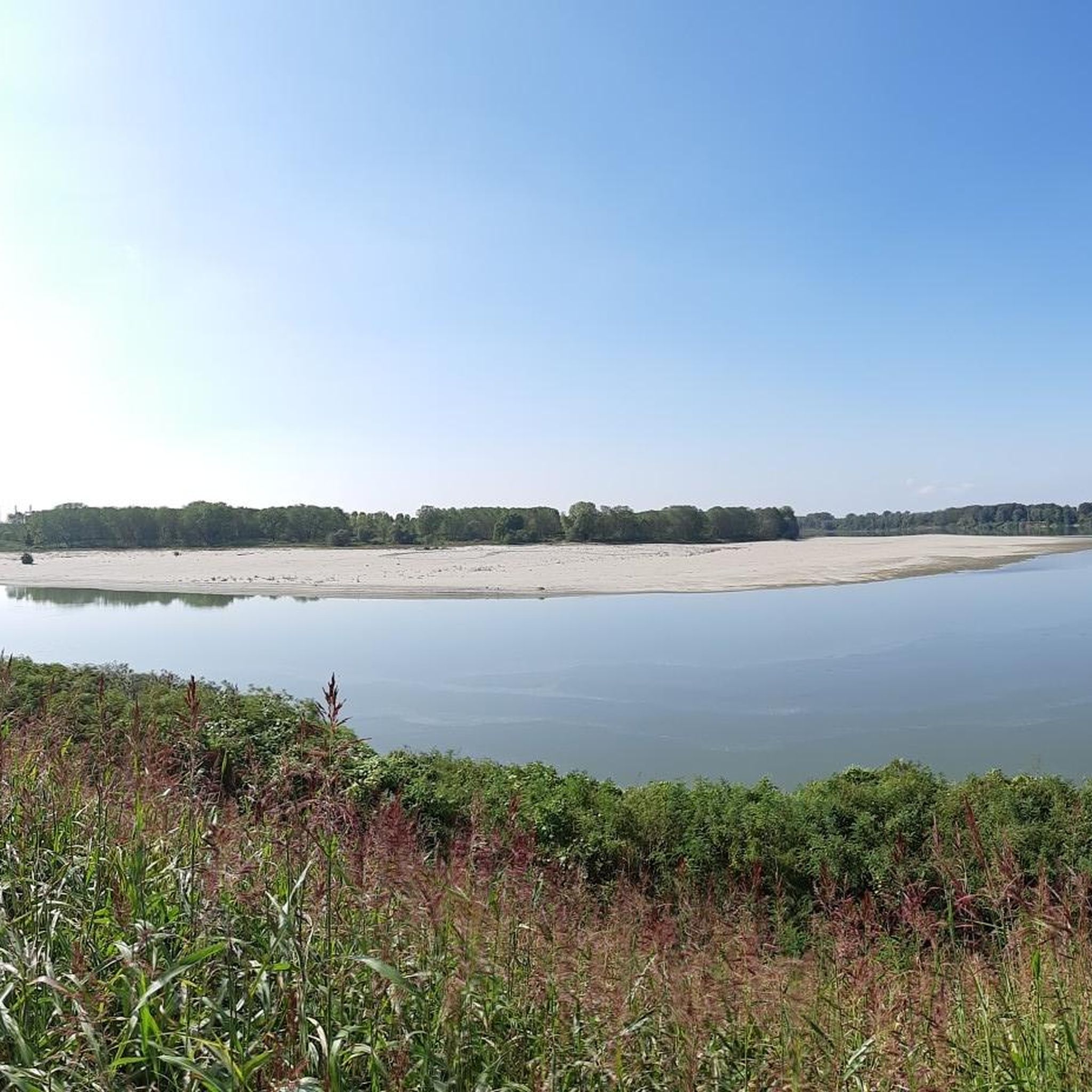
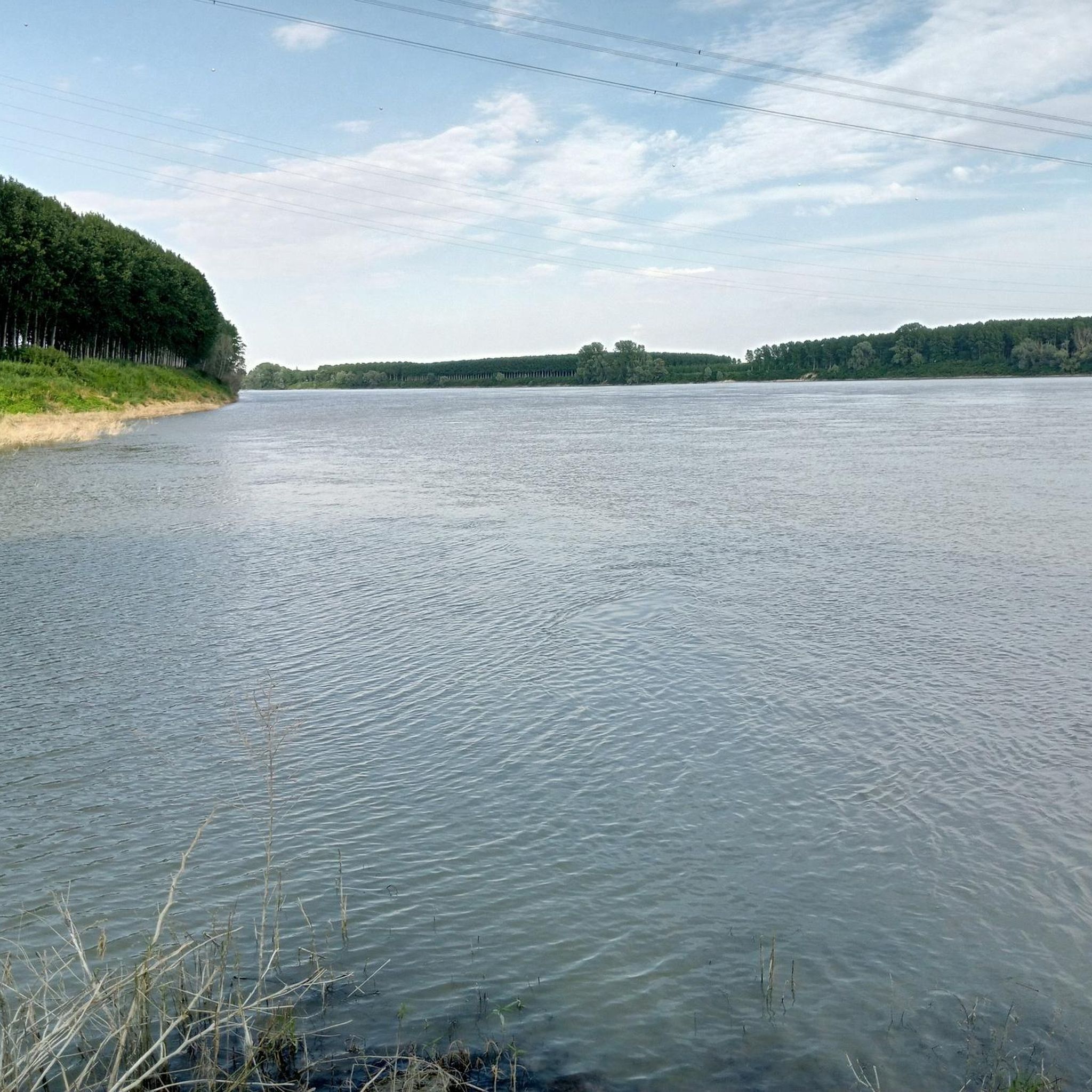
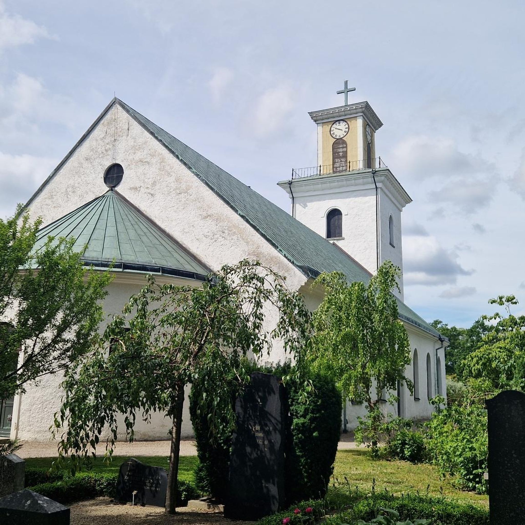


Tips from the Community

Very beautiful cycle path
0
0
With table and benches
0
0
Excellent bridge with a safe cycle-pedestrian path
0
0
Cycle-pedestrian lane for safe crossing
0
0

On July 18, 1848, during one of the wars of independence, a clash took place here in Governolo between Piedmontese troops, including bersaglieri, and an Austrian army rearguard. The Austrians had the worst of it, also because they were in clear numerical inferiority. When you visit Governolo, it is very interesting to follow the path prepared by the municipality with explanatory panels placed in various locations (I must say that sometimes they are not even very visible and therefore you have to go on a bit of a treasure hunt, but it's fun) that guide you step by step through the events of that day; in reality, they also tell of a clash that took place on April 24, also in 1848. Let's say that 1848, that period, was not exactly peaceful.
0
0
The ZTL is in force on public holidays
0
0
We arrive in Ostiglia
0
0
Frequently Asked Questions
How many mountain bike trails are available around Ostiglia?
There are nearly 70 mountain bike trails available around Ostiglia on komoot, offering a wide range of options for different skill levels and preferences. The region's flat river plains make for generally accessible and long-distance rides.
Are there easy mountain bike trails suitable for beginners in Ostiglia?
Yes, Ostiglia offers a good selection of easy mountain bike trails, with 18 routes specifically categorized as easy. These trails typically feature minimal elevation gain and follow flat river plains, making them ideal for beginners or those seeking a relaxed ride.
What kind of terrain can I expect on mountain bike trails in Ostiglia?
Mountain bike trails in Ostiglia primarily traverse flat river plains, characterized by the Po and Adige rivers and their associated waterways. You'll encounter agricultural landscapes, riverside paths, and occasional small wooded areas like the Bosco del Tartaro. Elevation gains are minimal, typically under 100 meters.
Are there any family-friendly mountain biking options in Ostiglia?
Given the predominantly flat terrain and minimal elevation, many of Ostiglia's mountain bike trails are suitable for families. Routes that stick to riverside paths and agricultural roads, avoiding technical sections, are generally good choices. Look for easy-rated trails for the most family-friendly experience.
Can I bring my dog on the mountain bike trails in Ostiglia?
While specific regulations for dogs on trails can vary, the flat, open nature of many routes along riverbanks and through agricultural areas in Ostiglia often makes them suitable for cycling with a well-behaved, leashed dog. Always ensure your dog is comfortable with the distance and terrain, and carry enough water for both of you.
What are some scenic mountain bike trails in Ostiglia?
For scenic views, consider routes that follow the Po River. The Ostiglia–Revere Bridge over the Po – Bridge over the Po loop from Ostiglia offers extensive views of the Po River and its bridges. Many trails also pass through the tranquil agricultural landscapes and small wooded areas like the Bosco del Tartaro.
Are there any circular mountain bike routes in Ostiglia?
Yes, many of the mountain bike routes in Ostiglia are designed as loops, allowing you to start and finish in the same location. Examples include the popular San Siro Pumping Station – Matilda Tower of Governolo loop from Ostiglia and the Matilda Tower of Governolo – Conca di Governolo loop from Ostiglia.
What historical sites or landmarks can I see along the mountain bike trails?
The trails often connect historical sites and small towns along the riverbanks. You might encounter landmarks such as the Ostiglia–Revere Bridge over the Po or the San Leone Lock. The San Siro Pumping Station – Matilda Tower of Governolo loop from Ostiglia specifically connects historical landmarks and river infrastructure.
What is the best time of year for mountain biking in Ostiglia?
The best time for mountain biking in Ostiglia is typically during spring (April to June) and autumn (September to October). During these seasons, the weather is generally mild and pleasant, making for comfortable riding conditions. Summer can be hot, while winter might bring colder temperatures and occasional fog.
Are there any longer mountain bike routes for experienced riders?
While the terrain is generally flat, Ostiglia offers longer routes that can challenge experienced riders through endurance. For example, the Adige Cycle Path in Legnago – Bridge over the Adige in Legnago loop from Ostiglia covers approximately 65.6 km, and the Bosco del Tartaro – Rest Area Sinistra Po Calto loop from Ostiglia is around 62.1 km, offering extensive rides.
What do other mountain bikers say about the trails in Ostiglia?
The mountain bike routes in Ostiglia are highly rated by the komoot community, with an average score of 4.2 stars from over 40 reviews. Reviewers often praise the region's accessible terrain, the scenic riverside paths, and the opportunity for long, enjoyable rides through agricultural landscapes and past historical points.
Most popular attractions around Ostiglia

Get inspired with the komoot mobile app


Explore more
Browse the best MTB trails in other regions.
