The best cycling routes around Crotta D'Adda
4.3
(808)
5,068
riders
150
rides
Touring cycling routes around Crotta D'Adda are primarily characterized by the flat, riverine landscapes of the Adda and Po rivers. The region is situated within the South Adda Park, featuring expansive plains, wetlands, and oxbow lakes. Terrain often includes dirt roads and natural trails along the river banks, providing an immersive experience in nature. This area offers a network of routes that capitalize on these serene natural features.
Best touring cycling routes around Crotta D'Adda
- The most popular touring cycling…
Last updated: October 9, 2026
4.0
(9)
117
riders
43.2km
02:33
100m
100m
Moderate bike ride. Good fitness required. Mostly paved surfaces. Suitable for all skill levels.
5.0
(1)
7
riders
Easy bike ride. Great for any fitness level. Mostly paved surfaces. Suitable for all skill levels.

7
riders
Moderate bike ride. Good fitness required. Mostly paved surfaces. Suitable for all skill levels.
5
riders
Easy bike ride. Great for any fitness level. Mostly paved surfaces. Suitable for all skill levels.
7
riders
19.0km
01:04
30m
30m
Easy bike ride. Great for any fitness level. Mostly paved surfaces. Suitable for all skill levels.
Get access to more routes and recommendations from other explorers.
Already have an account?
Our route recommendations are based on thousands of hikes, rides, and runs completed by other people on komoot.
Start today with a free account
Your next adventure awaits.

Tips from the Community

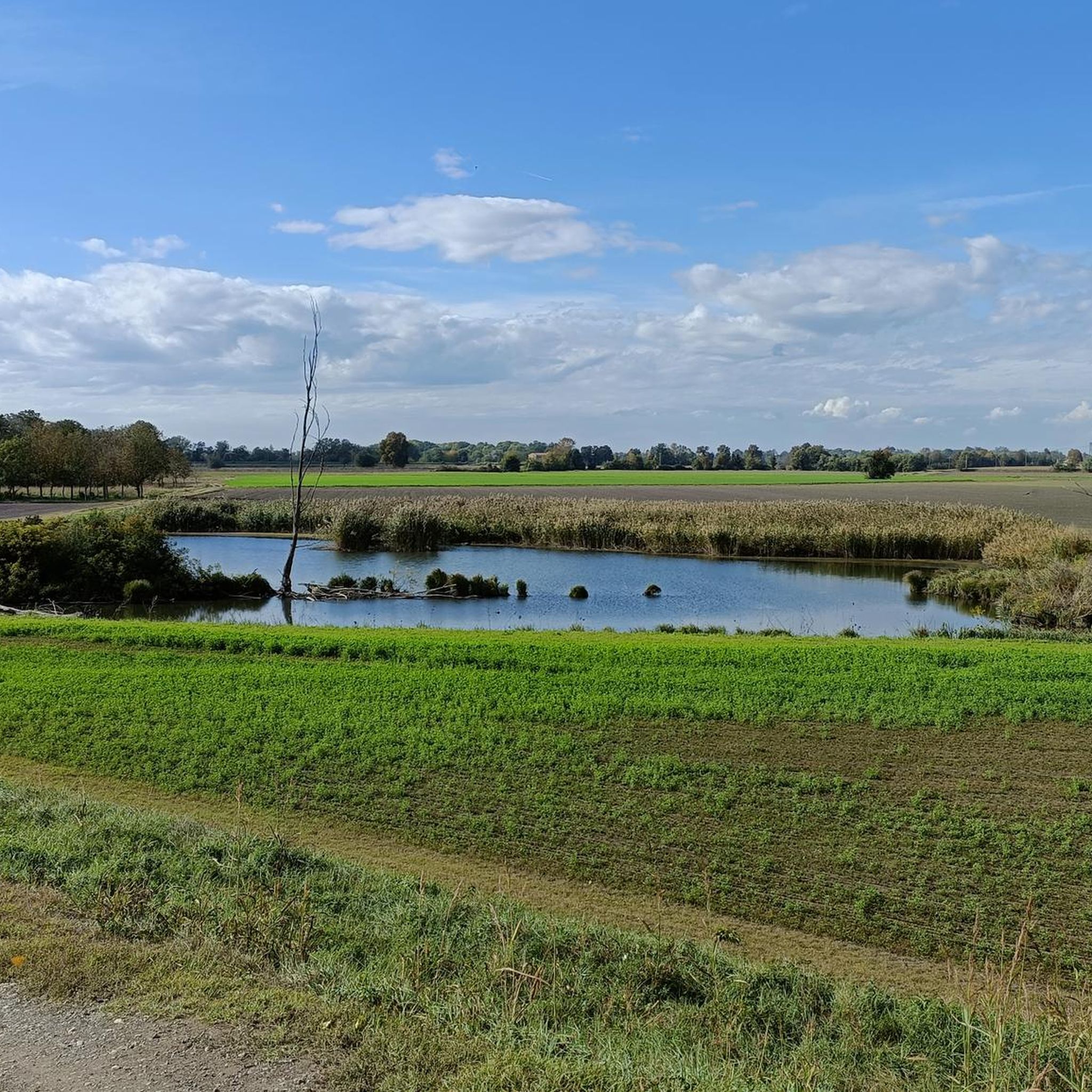
The name "Chiesetta di San Giacomo in Ripa Scorticata" (or alternatively Saints Philip and James) refers to two important historical and religious testimonies in Northern and Central-Northern Italy: 1. The Church of San Giacomo in Ripa Scorticata (Cremona / Castelleone) The historical expression refers to an ancient medieval settlement dating back to before 1158, located in an area originally known as Ripa Scorticata, an elevated area along the banks of the ancient Serio river (today called Serio Morto), in the territory between Castelleone and San Bassano, in the province of Cremona. The ancient Pilgrim Hospice: The small church stood on the strategic Via Regina (the Roman military and commercial road that connected Cremona to Chiavenna). Attached to it was a xenodochium (or hospital), used for the reception and refreshment of devout pilgrims and passing "romei".
0
0

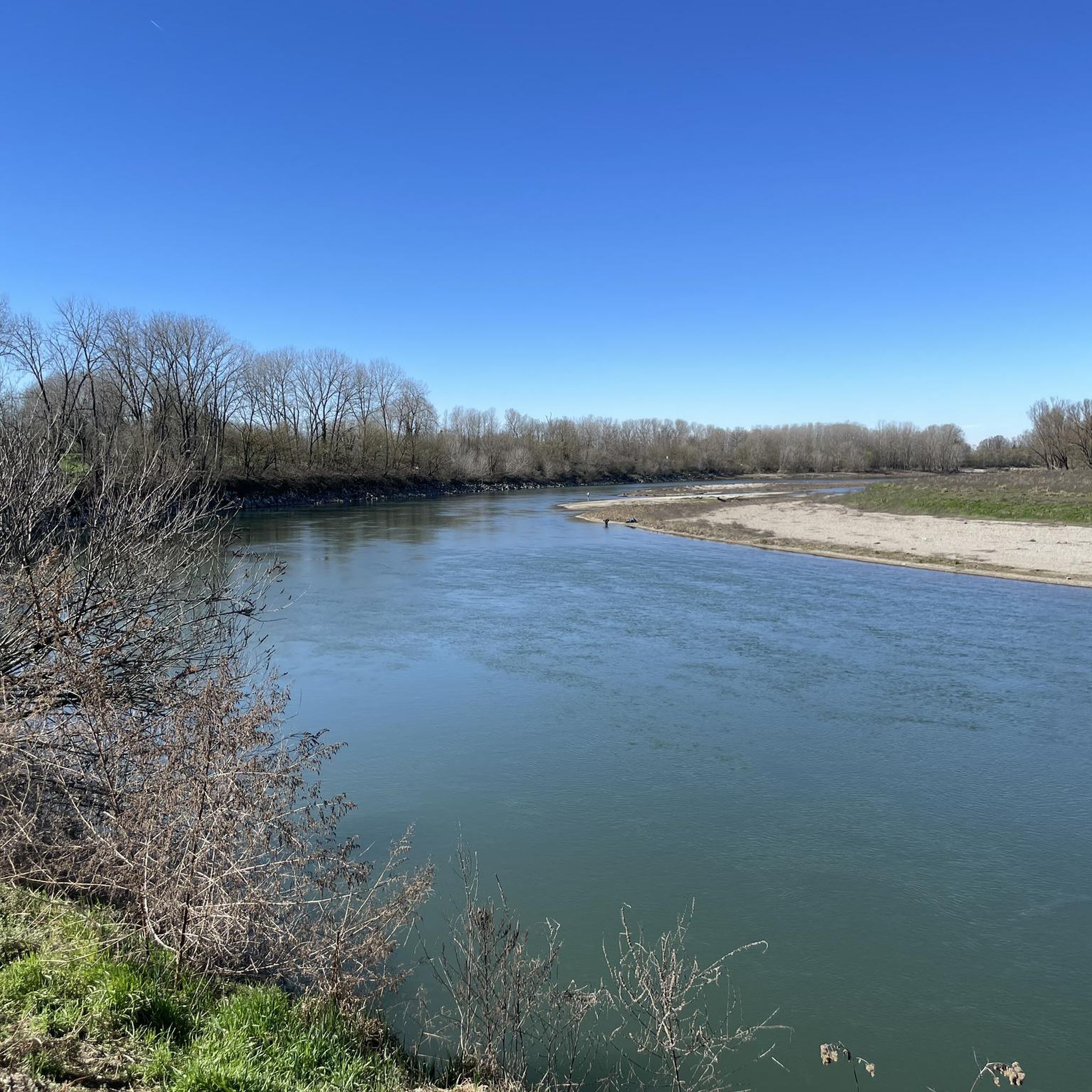
The Adda riverbank in the lower Lodi area protects the floodplain and the river's confluence with the Po, winding its way between the Adda Sud Park, Pizzighettone, and Castelnuovo Bocca d’Adda. This area combines hydraulic defence works with natural and cycling paths of great landscape value.
0
0
The main embankment of the Po in Cremona is a large hydraulic defense structure and an important outdoor recreational area. It offers scenic cycle paths and walkways overlooking the vast floodplain, connecting the city to the river amidst nature, sports, and points of historical interest.
0
0
The main embankment of the Po in Cremona is a large hydraulic defense structure and an important outdoor recreational area. It offers scenic cycle paths and walkways overlooking the vast floodplain, connecting the city to the river amidst nature, sports, and points of historical interest.
1
0
The Milan-Cremona-Po canal is an ambitious and never completed waterway conceived to connect Milan to the river Po and the sea. Of the grand project started in 1941, only an initial stretch of about 13 kilometers reaching Pizzighettone has been completed, while the work has remained unfinished.
0
0
The main embankment of the Po river in the Lodi section defends the bassa lodigiana from floods and is managed by AIPo (Interregional Agency for the Po River). The embankment system extends along the riverside municipalities such as San Rocco al Porto, Santo Stefano Lodigiano, Corno Giovine, Caselle Landi and Castelnuovo Bocca d'Adda, marking the southern border of the province.
0
0
The Adda riverbank in the lower Lodi area protects the floodplain and the river's confluence with the Po, winding between the Parco Adda Sud, Pizzighettone, and Castelnuovo Bocca d'Adda. This area combines hydraulic defense works with natural and cycling paths of great landscape value.
0
0
The main embankment of the Po River in the Lodi stretch defends the lower Lodi area from floods and is managed by AIPo (Interregional Agency for the Po River). The embankment system extends along the riverside municipalities such as San Rocco al Porto, Santo Stefano Lodigiano, Corno Giovine, Caselle Landi and Castelnuovo Bocca d'Adda, marking the southern border of the province
0
0
Frequently Asked Questions
How many touring cycling routes are available around Crotta D'Adda?
There are over 140 touring cycling routes in the Crotta D'Adda area, offering a wide range of options for different skill levels and preferences. The komoot community has explored more than 4000 touring cycling adventures here.
What kind of terrain can I expect on touring cycling routes in Crotta D'Adda?
The terrain around Crotta D'Adda is predominantly flat, characterized by the serene riverine landscapes of the Adda and Po rivers. You'll often find yourself on dirt roads and natural trails along the river banks, providing an immersive experience within the South Adda Park, which features expansive plains, wetlands, and oxbow lakes.
Are there routes suitable for beginners or families in Crotta D'Adda?
Yes, Crotta D'Adda offers many easy touring cycling routes perfect for beginners and families. With 86 easy routes available, you can enjoy gentle rides through the flat riverine plains. An excellent option is the Cathedral Square, Cremona – Cremona Tourist River Dock loop from Acquanegra Cremonese, which is 19.3 miles (31.0 km) and generally takes under two hours to complete.
What historical or natural landmarks can I see while cycling around Crotta D'Adda?
While cycling, you can explore several interesting landmarks. Within Crotta D'Adda, you might spot the historic Villa Stanga. Nearby, you can visit the fortified town of Pizzighettone, home to the Pizzighettone Walls and the Adda River Bridge and Visconti Tower. The area is also rich in natural beauty, being part of the South Adda Park with its wetlands and diverse wildlife, including numerous bird species.
Are there any circular touring cycling routes in the area?
Many of the touring cycling routes around Crotta D'Adda are designed as loops, allowing you to start and end in the same location. For example, the Torre del Guado – Cremona Tourist River Dock loop from Acquanegra Cremonese is a moderate 31.9 miles (51.3 km) route that connects river paths with historical points of interest in a circular fashion.
What do other cyclists say about the touring routes in Crotta D'Adda?
The touring cycling routes in Crotta D'Adda are highly rated by the komoot community, with an average score of 4.3 stars from over 600 reviews. Cyclists often praise the serene riverine landscapes, the flat and accessible terrain, and the opportunity to immerse themselves in nature along the Adda and Po rivers.
Are there any longer touring routes for more experienced cyclists?
Yes, for more experienced touring cyclists looking for longer distances, routes like the Pizzighettone Walls – Parish Church of Gombito loop from Acquanegra Cremonese offer a moderate challenge. This route covers 56.1 km (34.9 miles) and includes a bit more elevation gain, taking you through varied landscapes and past historical sites.
Can I find routes that offer views of the Po Valley?
Absolutely. The region's proximity to the Po River means many routes offer expansive views of the Po Valley. The Po Valley Colonies – Cremona Tourist River Dock loop from Acquanegra Cremonese is a moderate 27.2 miles (43.8 km) path specifically designed to showcase these riverine ecosystems and the vast Po Valley landscape.
What is the best time of year for touring cycling in Crotta D'Adda?
The best time for touring cycling in Crotta D'Adda is typically during the spring and autumn months. The weather is generally mild and pleasant, making it ideal for exploring the flat riverine landscapes without the intense heat of summer or the chill of winter. These seasons also offer beautiful natural scenery as the flora changes.
Are there any routes that pass through or near historical towns?
Yes, several routes connect Crotta D'Adda with nearby historical towns. For instance, you can cycle towards Pizzighettone, a town known for its well-preserved fortifications. The Pizzighettone Walls – Parish Church of Gombito loop from Acquanegra Cremonese is a great option to explore this historical area.
What kind of natural features can I observe in the South Adda Park while cycling?
Cycling through the South Adda Park, you'll encounter a rich diversity of natural features. The park is known for its wetlands, oxbow lakes like the "Adda Morta," and natural forests. It's a haven for birdwatching, home to numerous waterfowl, herons, and even a small deer population, offering a tranquil and biodiverse environment.
Are there any shorter, easy routes for a quick ride?
For a shorter, easy ride, consider the Sesto Cremonese Cycle Path – Tricolor Hay Bales loop from Acquanegra Cremonese. This route is 18.4 km (11.4 miles) long and is classified as easy, making it perfect for a leisurely outing or a quick exploration of the local countryside.
Most popular routes around Crotta D'Adda
Most popular attractions around Crotta D'Adda

Get inspired with the komoot mobile app


Explore more
Browse the best Cycling routes in other regions.
