The best walks and hikes around Gabbioneta-Binanuova
3.5
(22)
126
hikers
28
hikes
Hiking around Gabbioneta-Binanuova offers access to the diverse landscapes of the Po Valley, including the Oglio Sud Regional Park and the Strone River Park. The terrain is characterized by riverine environments, lowland forests, wetlands, and agricultural fields. Hikers can explore alluvial forests with willow and poplar trees, as well as marsh vegetation along the Oglio River. The region provides opportunities for observing varied flora and fauna within its natural reserves.
Best hiking trails around Gabbioneta-Binanuova
- The most popular hiking route…
Last updated: May 20, 2026
3.0
(1)
4
hikers
12.0km
03:03
30m
30m
Moderate hike. Good fitness required. Easily-accessible paths. Suitable for all skill levels.
10
hikers
8.28km
02:07
30m
30m
Moderate hike. Good fitness required. Easily-accessible paths. Suitable for all skill levels.

Sign up for free
3.0
(1)
7
hikers
Easy hike. Great for any fitness level. Easily-accessible paths. Suitable for all skill levels.
4
hikers
Easy hike. Great for any fitness level. Easily-accessible paths. Suitable for all skill levels.
3.0
(1)
5
hikers
4.58km
01:10
10m
10m
Easy hike. Great for any fitness level. Easily-accessible paths. Suitable for all skill levels.
Get access to more routes and recommendations from other explorers.
Sign up for free
Already have an account?
Our route recommendations are based on thousands of hikes, rides, and runs completed by other people on komoot.
Start today with a free account
Your next adventure awaits.
Login or Signup


Tips from the Community

equipped for picnics with bathroom
1
0

Church of the parish of Saints Peter and Paul of Gambara.
1
0
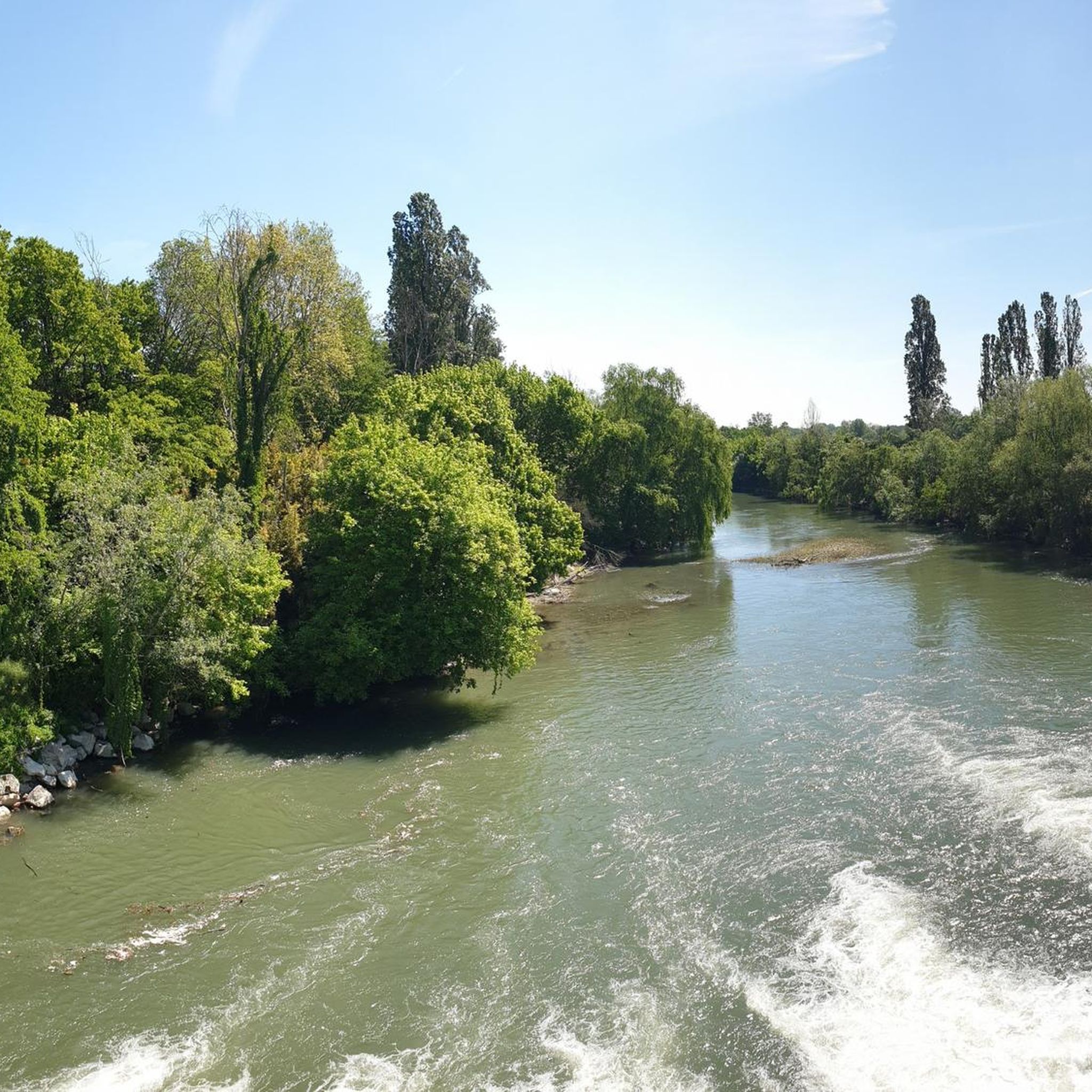
Splendid path that accompanies the Gambara stream.
1
0
Small characteristic church in the center of the village.
1
0

Very nice and quiet path along the Roggia Gàmbara, lined with trees to the left and right, it offers peace and relaxation ... also very easy to explore by bike
0
1
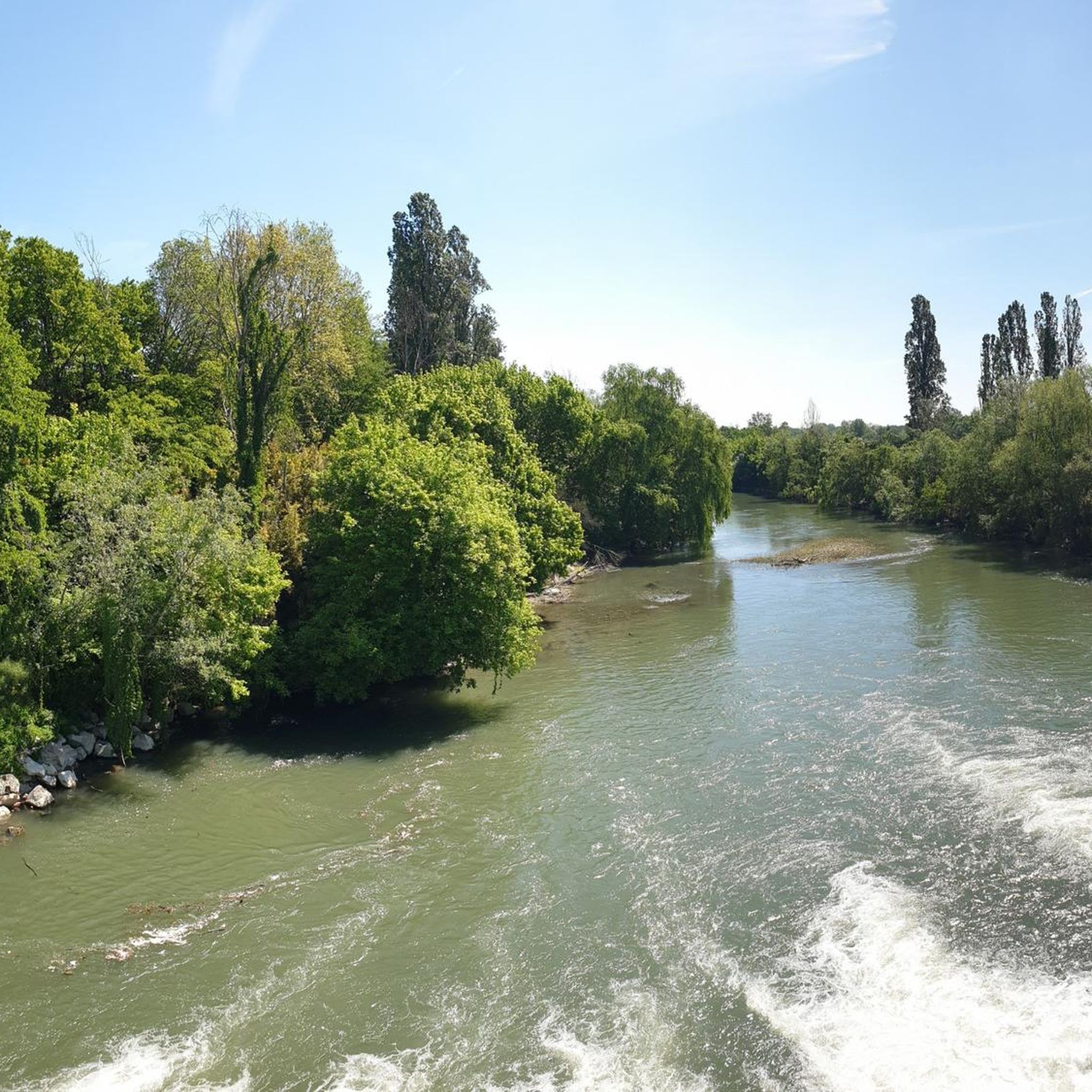
This is where the water of the Roggia Gàmbara is dammed up and then channeled into the irrigation channels in the area, if you like the noise and the movement of the water, this is the right place ... also easy to reach by bike
0
0
I don't know about this church 🤷♂️ but it's kind of beautiful 😀
1
1
I don't know anything about this church🤔, but it's kind of beautiful 😀
0
0
Frequently Asked Questions
How many hiking trails are available around Gabbioneta-Binanuova, and what are their difficulty levels?
There are over 20 hiking trails around Gabbioneta-Binanuova. The majority are suitable for a wide range of hikers, with 8 easy routes and 11 moderate routes. For those seeking a greater challenge, there is also 1 difficult route available.
What kind of natural features can I expect to see while hiking in this region?
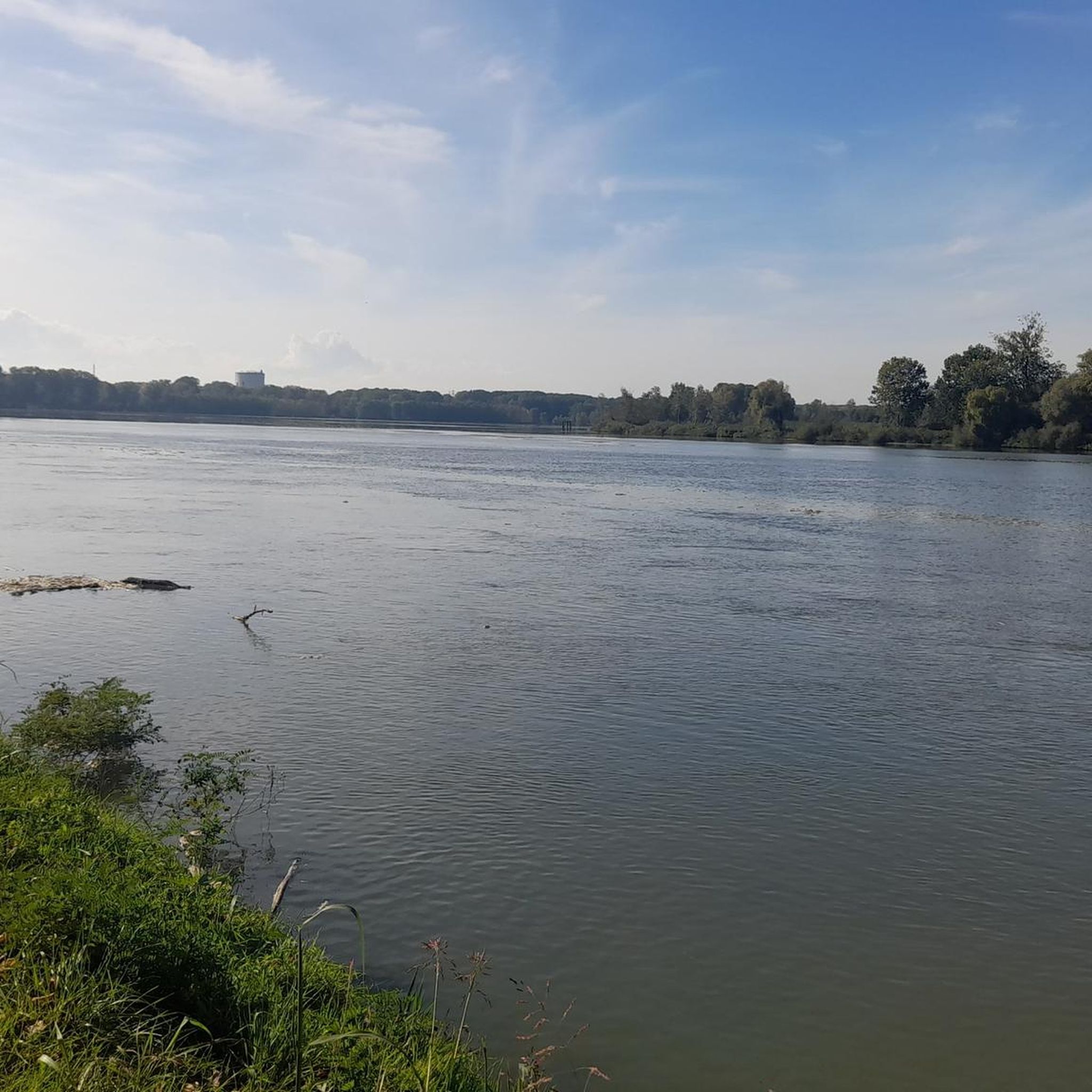
The region is rich in diverse natural features, primarily within the Oglio Sud Regional Park and the Strone River Park. You'll encounter lowland forests with willow and poplar trees, wetlands, and agricultural fields. The Oglio River itself features sinuous courses, marked meanders, and often steep banks, with sandy beaches emerging in summer. The area also boasts significant nature reserves like Le Bine and Marcaria Torbiere, known for their biodiversity.
Are there any family-friendly hiking options around Gabbioneta-Binanuova?
Yes, many of the 8 easy routes are suitable for families. These trails often traverse flat countryside and riverine paths, offering gentle walks. For example, the Trail on the Roggia Gambara loop from Gambara is an easy 7 km route that provides a pleasant experience for all ages.
Can I bring my dog on the hiking trails in Gabbioneta-Binanuova?
Most trails in the Gabbioneta-Binanuova area are dog-friendly, especially those through open countryside and along riverbanks. Always ensure your dog is under control, and be mindful of local regulations, particularly when passing through agricultural areas or nature reserves where wildlife might be present. The Oglio Sud Regional Park generally welcomes dogs on leash.
What are some interesting landmarks or attractions I can explore near the hiking routes?
Beyond the natural beauty, you can discover several historical and cultural landmarks. Consider visiting the Church of Saints Joseph and Blaise, Robecco d'Oglio, or the charming Chiesa di Comella. For those interested in history, the Piazza Matteotti in Isola Dovarese is also nearby. You can also find several castles in the wider region, such as Gazzo Castle.
Are there any circular hiking routes available?
Yes, there are several circular routes. A notable one is the Chapel – Historic Church loop from Isola Dovarese, which is a moderate 18.3 km trail leading through agricultural fields and small villages. Another option is the Pieve di Comella loop from Pralboino, an 8.3 km moderate hike.
What is the best time of year to go hiking in Gabbioneta-Binanuova?
The spring and autumn months are generally ideal for hiking in Gabbioneta-Binanuova. During these seasons, the weather is mild, and the natural landscapes of the Oglio Sud Regional Park are particularly vibrant with blooming flora or rich autumn colors. Summer can be pleasant, especially along the river, but be prepared for warmer temperatures. Winter offers a quieter experience, though some paths might be muddy.
What do other hikers enjoy most about the trails in Gabbioneta-Binanuova?
The hiking experience in Gabbioneta-Binanuova is highly rated by the komoot community, with an average score of 4.1 stars from over 20 reviews. Hikers often praise the serene riverine paths, the peaceful lowland woodlands, and the opportunities for wildlife observation within the natural parks. The flat, accessible terrain is also frequently highlighted as a positive aspect.
Is there public transport available to reach the trailheads?
While specific public transport links directly to every trailhead might be limited, Gabbioneta-Binanuova and surrounding towns are connected by local bus services. It's advisable to check local bus schedules for routes connecting to villages near your chosen trailhead. Many trails are also accessible from town centers, making them easier to reach.
Where can I find parking for hiking trails in the area?
Parking is generally available in the villages and towns surrounding the trailheads. For routes starting near Gabbioneta-Binanuova or other small comuni, you can often find public parking spaces. When planning your hike, it's recommended to check the starting point of your chosen route on komoot for specific parking suggestions or nearby village parking areas.
Are there opportunities for wildlife viewing while hiking?
Absolutely. The Oglio Sud Regional Park is a significant refuge for diverse wildlife. Hikers have excellent chances to spot numerous aquatic birds like black-winged stilts and little egrets, especially in the wetlands and along the Oglio River. Mammals such as wild boars, roe deer, and foxes frequent the wooded areas, and if you're lucky, you might even spot badgers or ferrets in quieter spots. The nature reserves within the park, like Le Bine and Marcaria Torbiere, are particularly rich in biodiversity.
What kind of terrain and surfaces can I expect on the hiking trails?
The trails around Gabbioneta-Binanuova primarily feature flat terrain, characteristic of the Po Valley. You'll encounter a mix of surfaces, including well-maintained dirt paths, gravel tracks, and sometimes paved sections through villages or along agricultural roads. The riverine paths can be natural earth, and within the parks, you might find boardwalks or more rugged, unpaved sections, especially near wetlands.
Most popular routes around Gabbioneta-Binanuova
Most popular attractions around Gabbioneta-Binanuova

Get inspired with the komoot mobile app


Explore more
Browse the best Hikes in other regions.
