The best walks and hikes around Casalmorano
4.3
(45)
302
hikers
45
hikes
Hiking trails near Casalmorano are characterized by the flat, agricultural landscape of the Po Valley in the Province of Cremona. The region offers access to expansive river parks, including the Po River Park and Oglio River Park, which feature trails along riverbanks and through wetlands. These areas provide opportunities for walks amidst rich flora and fauna, with minimal elevation changes. The terrain is generally gentle, making it suitable for various fitness levels.
Best hiking trails around Casalmorano
- The most popular…
Last updated: October 4, 2026
16
hikers
8.65km
02:11
10m
10m
Moderate hike. Good fitness required. Easily-accessible paths. Suitable for all skill levels.
4.3
(3)
10
hikers
Easy hike. Great for any fitness level. Easily-accessible paths. Suitable for all skill levels.

5.0
(1)
6
hikers
8.61km
02:10
10m
10m
Moderate hike. Good fitness required. Easily-accessible paths. Suitable for all skill levels.
5.0
(1)
11
hikers
11.2km
02:48
10m
10m
Moderate hike. Good fitness required. Easily-accessible paths. Suitable for all skill levels.
4.0
(1)
5
hikers
10.3km
02:37
20m
20m
Moderate hike. Good fitness required. Easily-accessible paths. Suitable for all skill levels.
Get access to more routes and recommendations from other explorers.
Already have an account?
Our route recommendations are based on thousands of hikes, rides, and runs completed by other people on komoot.
Start today with a free account
Your next adventure awaits.

Tips from the Community

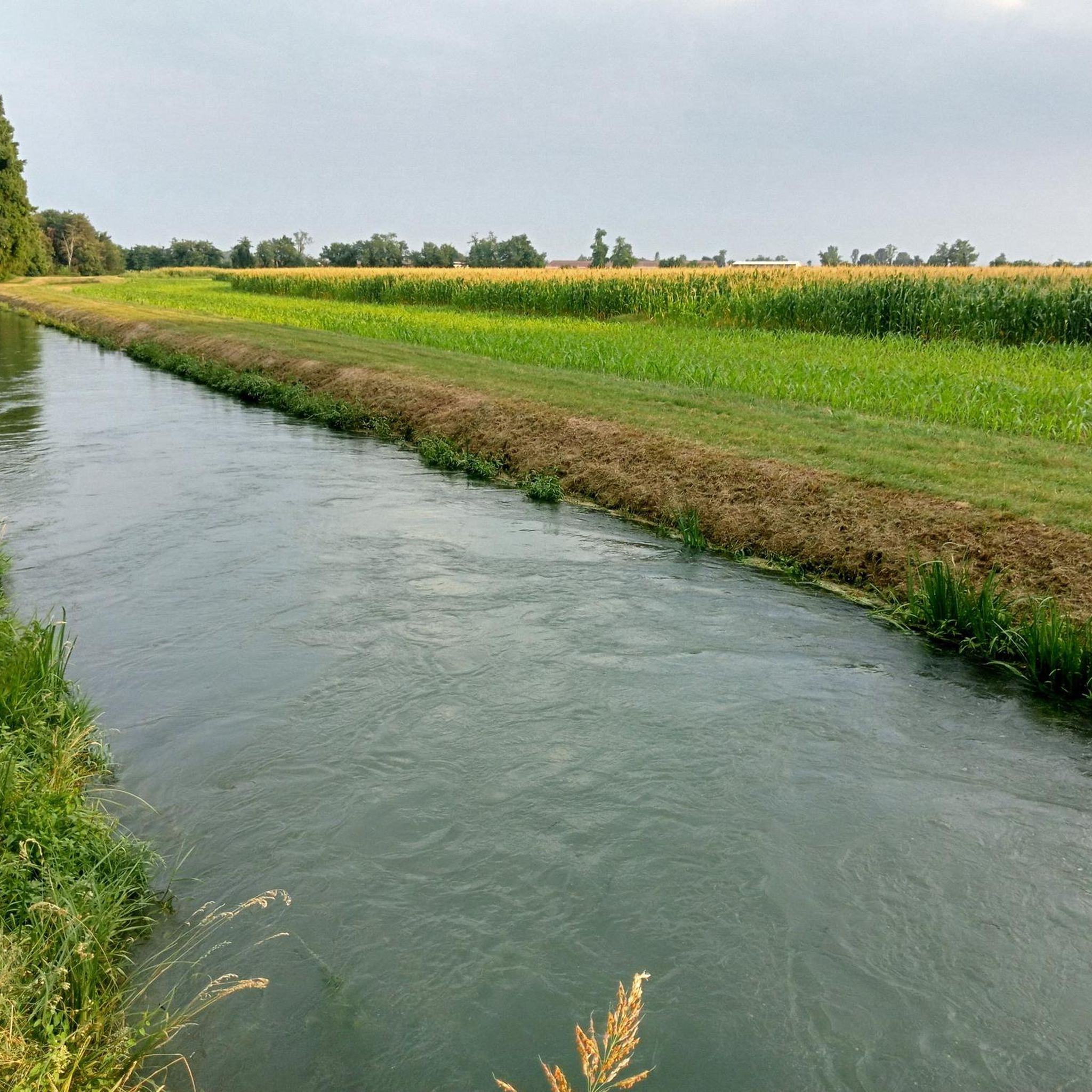
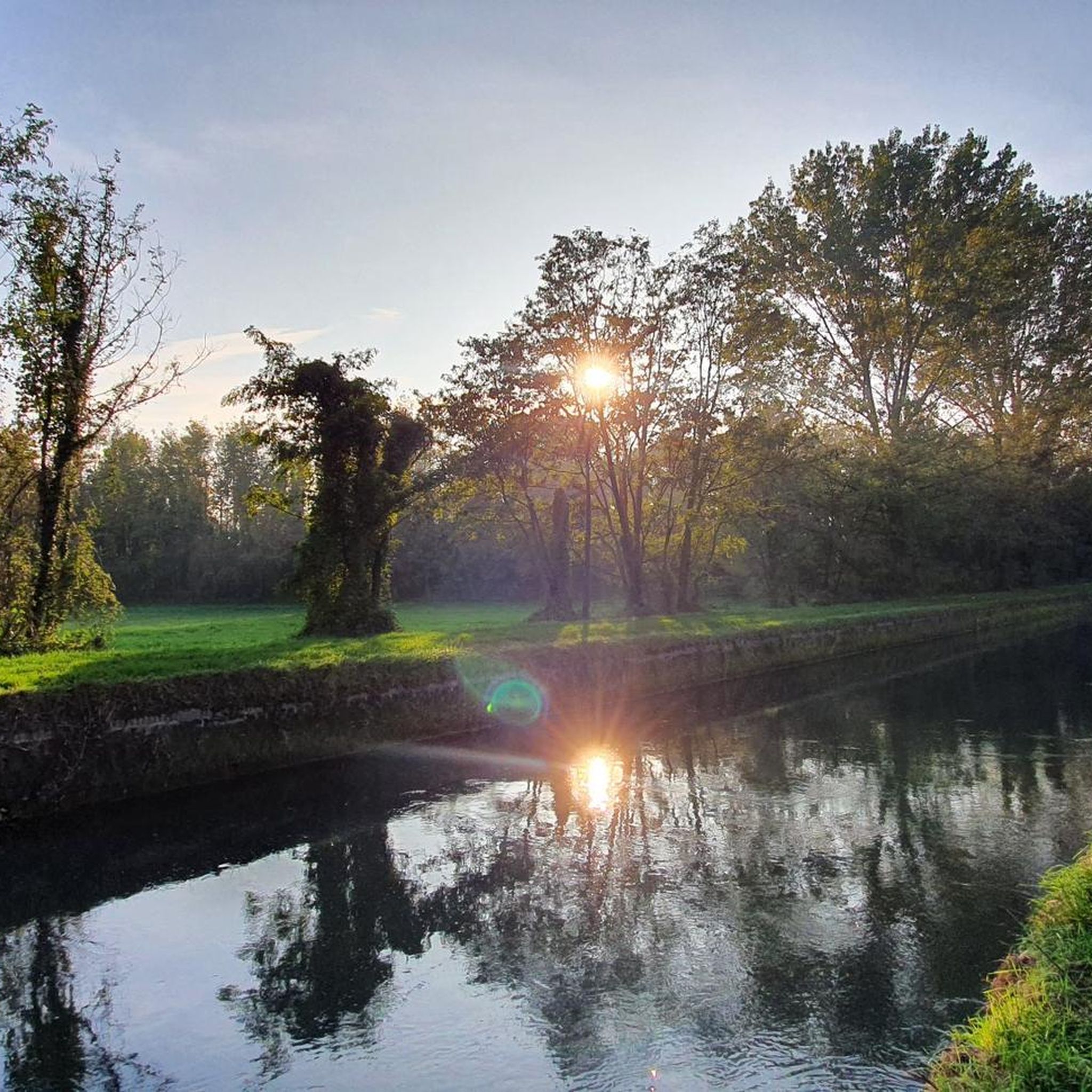
The Naviglio Civico di Cremona is a historic artificial canal of about 57 km (reaching over 75 km considering the underground section "Cremonella" and the final stretch into the Po River), built in 1337 for irrigation purposes and still fundamental for agriculture today. It crosses the province from north to south, connecting the Oglio river to the city, characterized by a landscape rich in biodiversity, ancient farmhouses, and a cycle path.
2
0

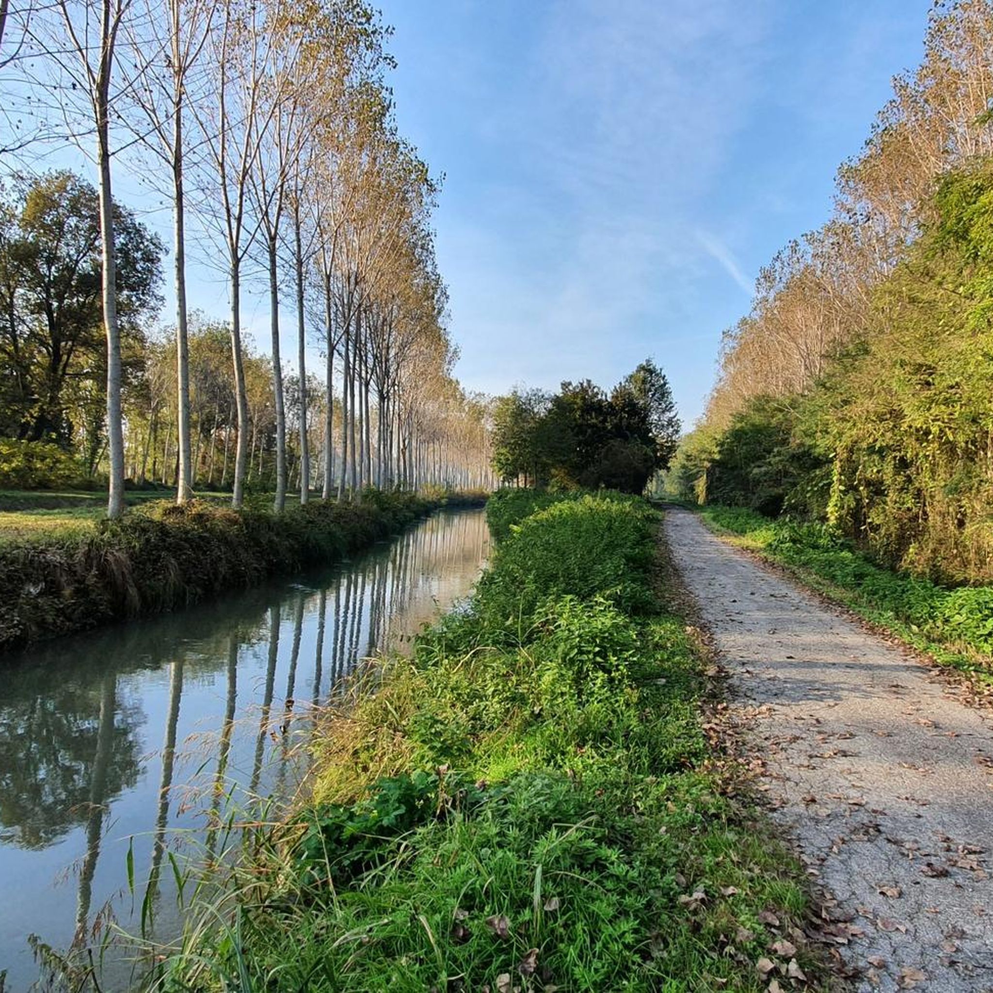
The trail, which runs alongside the Canale Civico Cremonese, is straight and uneven, running through fields and rows of vines on a dirt surface. Stable and even, it's a perfect stretch for gravel and touring bikes.
2
0

The hydraulic junction of the Tombe Morte-Tredici Ponti constitutes the most important concentration of artificial waterways in the province of Cremona, irrigating approximately 85,000 hectares of countryside. Here the Naviglio Civico di Cremona, the Naviglio Grande Pallavicino and the Canale Vacchelli intersect, the latter pouring almost all of its flow into the Naviglio Pallavicino, the Naviglio Civico and a dozen irrigation ditches through an impressive system of locks. Finally, a spillway, built between 1968 and 1981, detaches from the junction, which discharges any excess flow from the Naviglio Civico, the Naviglio Pallavicino and the Vacchelli into the Oglio river. Two different hypotheses have been made regarding the origin of the name, the first would originate from the term tomba which is synonymous with siphon, a hydraulic element that connects two conduits. Probably some of these artifacts would have fallen into disuse, hence the adjective death. Another hypothesis is linked to the discovery of several dozen burials dating back to the late Roman era.
24
0

The intersection of these channels is very suggestive
5
0

The Naviglio Pallavicino, a historic canal in the Cremona irrigation network, crosses the agricultural landscape with its waterways and bridges. A place where history and nature meet, offering a fascinating journey through fields and ancient villages.
2
0

Beautiful dirt road along the canal, ideal for gravel and mountain biking.
1
0

Crossroads between cycle paths on dirt roads, excellent signage
3
0

tour done with mtb but you can do very well
3
0
Frequently Asked Questions
How many hiking trails are available around Casalmorano?
There are over 40 hiking routes available around Casalmorano. These trails range from easy to moderate difficulty, with 17 easy routes and 26 moderate routes, ensuring options for various fitness levels.
What is the best time of year to go hiking in Casalmorano?
The best times for hiking in the Casalmorano region are typically spring (April to June) and autumn (September to October). During these seasons, temperatures are mild, and the natural scenery, especially along the river parks, is vibrant and pleasant for outdoor activities.
Are the hiking trails around Casalmorano suitable for families or beginners?
Yes, many trails around Casalmorano are suitable for families and beginners. The region's landscape is generally flat, with minimal elevation changes, particularly in the Po River Park and Oglio River Park. There are 17 easy routes available, such as the Hiking loop from Genivolta, which is 5.6 km long and takes about 1 hour 25 minutes.
What kind of landscape can I expect on hikes near Casalmorano?
Hikes near Casalmorano primarily feature the flat, agricultural landscape of the Po Valley. You can expect trails winding through lush wetlands, along riverbanks of the Po and Oglio rivers, and across cultivated fields. These areas are rich in biodiversity, offering opportunities for birdwatching and tranquil walks through nature reserves.
What do other hikers say about the trails in Casalmorano?
The hiking routes in Casalmorano are highly rated by the komoot community, with an average score of 4.4 stars from over 20 reviews. Hikers often praise the peaceful riverine landscapes, the gentle terrain suitable for relaxed walks, and the opportunities to explore the rural surroundings.
Are there any circular hiking routes near Casalmorano?
Yes, there are several circular hiking routes available. For example, the Santuario di Ariadello loop from Genivolta is a moderate 14.9 km path that explores the rural surroundings and reaches the Santuario di Ariadello. Another option is the Hiking loop from Soresina, an easier 7.3 km trail through agricultural fields.
Can I bring my dog on the hiking trails?
Generally, the river parks and rural trails in the Casalmorano area are dog-friendly, provided dogs are kept on a leash and owners clean up after them. It's always recommended to check specific park regulations or trail signs for any restrictions before heading out.
Are there any historical landmarks or castles to visit while hiking?
Yes, the region around Casalmorano is dotted with historical landmarks. You can explore several castles, such as Padernello Castle or the Sforza Castle in Soncino. Some routes might pass near these sites, offering a cultural addition to your hike.
Are there any trails that follow canals or rivers?
Yes, the region is known for its riverine landscapes. The Naviglio Civico Cremonese Trail is a popular moderate route that follows the historic Naviglio Civico canal for 10.3 km. The Po River Park and Oglio River Park also offer numerous trails along riverbanks.
Are there longer hiking options for more experienced walkers?
While the terrain is generally gentle, there are longer moderate options available. The Santuario di Ariadello loop from Genivolta, at 14.9 km, offers a more extended walk through the rural surroundings. Another moderate option is the Santuario di Ariadello loop from Soresina, which is 9.9 km long.
Is parking available at the trailheads?
In rural areas like Casalmorano and the surrounding river parks, parking is generally available near village centers or designated access points for trails. However, specific parking availability can vary, so it's advisable to check the starting point of your chosen route for details.
Most popular routes around Casalmorano
Most popular attractions around Casalmorano

Get inspired with the komoot mobile app


Explore more
Browse the best Hikes in other regions.
