The best walks and hikes around Castelnuovo Bocca D'Adda
4.3
(58)
607
hikers
82
hikes
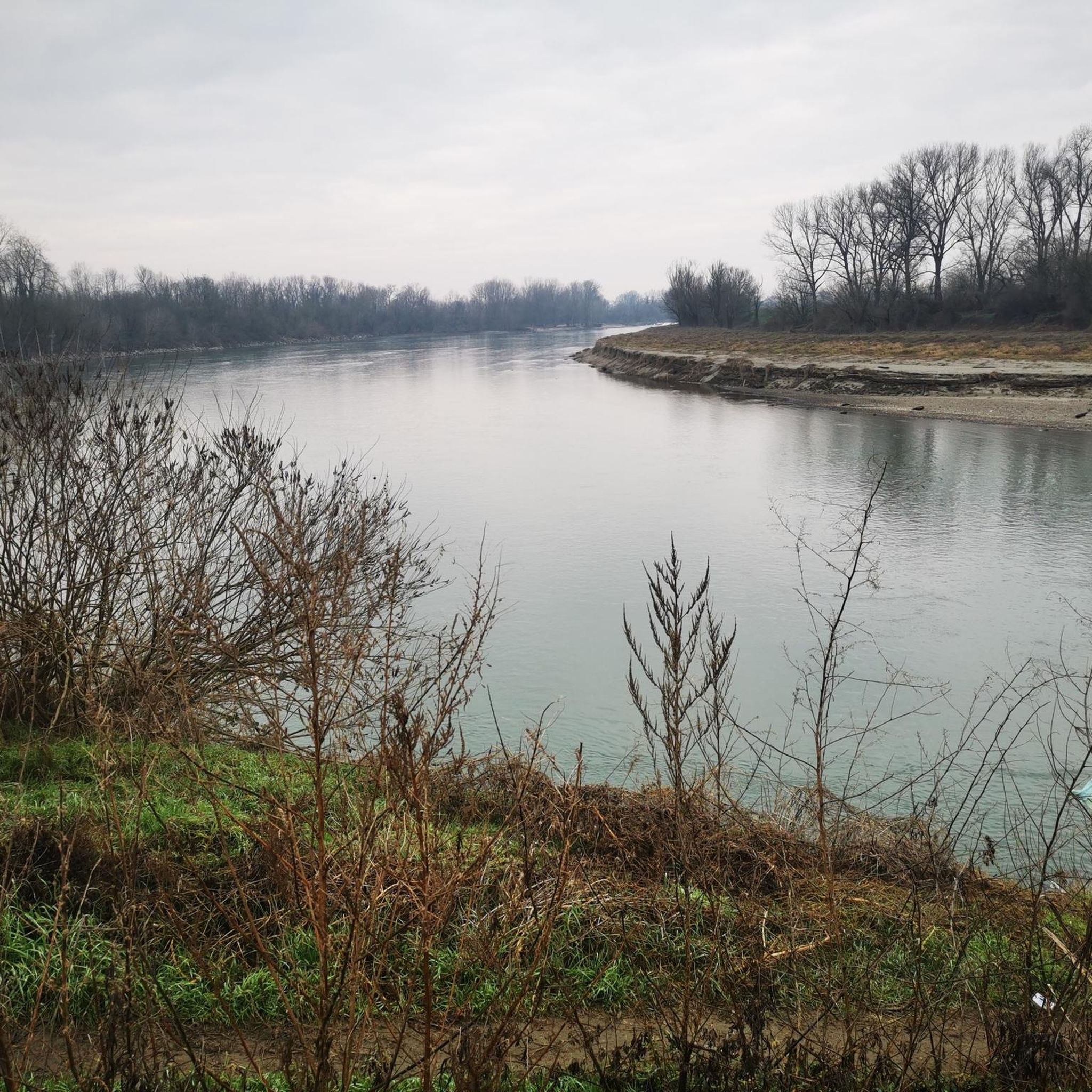
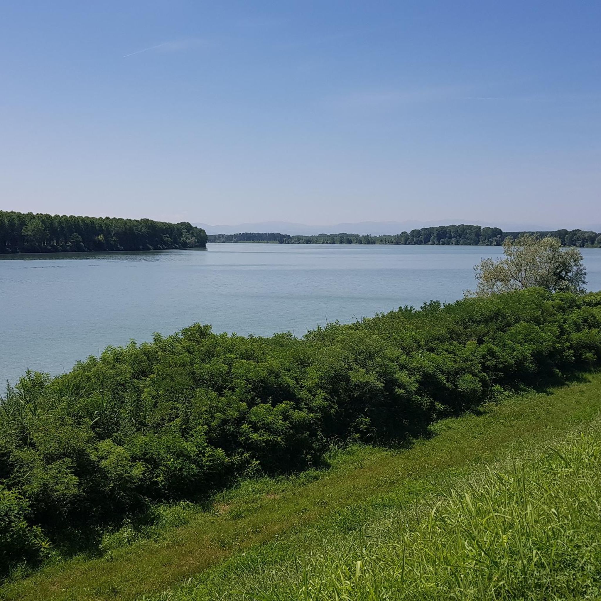
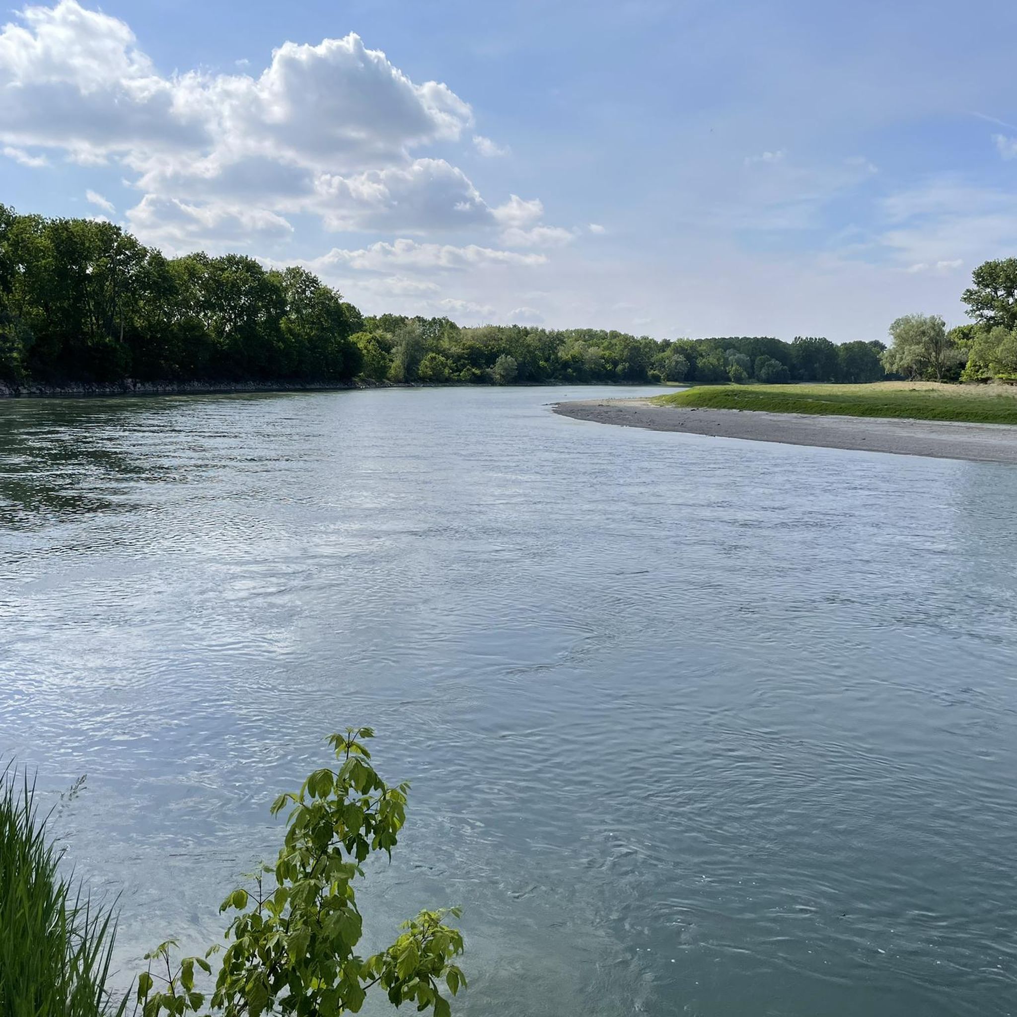
Hiking around Castelnuovo Bocca D'Adda offers routes through a unique riverine landscape at the confluence of the Adda and Po rivers. The region is characterized by diverse ecosystems, including natural woods, agricultural areas, and marshy zones within the Parco Adda Sud. Elevation changes are generally minimal, providing accessible trails along the riverbanks and through the surrounding countryside. This area features a blend of natural beauty and historical sites, making it suitable for varied outdoor exploration.
Best hiking trails around Castelnuovo…
Last updated: July 7, 2026
4.0
(2)
4
hikers
7.82km
01:59
10m
20m
This easy 4.9-mile hiking loop along the Adda River and Canal offers picturesque scenery and historical sites in Parco Adda Sud.
2
hikers
9.91km
02:30
20m
20m
Embark on the Golena del Po Trail, a moderate hike spanning 6.2 miles (9.9 km) with a gentle elevation gain of 61 feet (19 metres), typically completed in 2 hours…

Sign up for free
3.0
(1)
17
hikers
5.21km
01:19
10m
10m
Easy hike. Great for any fitness level. Easily-accessible paths. Suitable for all skill levels.
12
hikers
Moderate hike. Good fitness required. Easily-accessible paths. Suitable for all skill levels.
3.0
(1)
11
hikers
Moderate hike. Good fitness required. Easily-accessible paths. Suitable for all skill levels.
Get access to more routes and recommendations from other explorers.
Sign up for free
Already have an account?
Our route recommendations are based on thousands of hikes, rides, and runs completed by other people on komoot.
Start today with a free account
Your next adventure awaits.
Login or Signup

Tips from the Community

The road is no longer unpaved but is part of the VENTO cycle path, the surface is asphalted
0
0

Excellent Acqua💧 Point point to stock up on fresh water via the Padania Acque QR code
0
0

In this stretch the road is very close to the river and it is scenic, furthermore there is a farmhouse nearby
0
0

The castle of Monticelli d'Ongina - or Rocca Pallavicino-Casali - is a fortified complex, one of the most impressive existing in the plain, located in the historic center of the municipality of Monticelli d'Ongina. Built entirely of brick, with the typical structure of Piacenza plain castles, it has a quadrangular plan with an internal courtyard, with four cylindrical towers protruding from the corners, raised above the line of the curtains.
1
0

Here, between the dirt road and the main road, there are tables with benches where you can stop for a break.
1
0
Along the bank of the Po, this beautiful flat dirt road winds through the countryside.
1
0

Small municipality famous for the presence of a fortress of the Pallavicino family. A quiet place that is worth a stop to visit.
0
0

Located along via Palestro, opposite the Church of S. Vincenzo, Palazzo Stanga Trecco is currently the headquarters of the Stanga Agricultural Institute.
2
0
Frequently Asked Questions
How many hiking trails are available around Castelnuovo Bocca D'Adda?
There are over 60 hiking routes in the Castelnuovo Bocca D'Adda area. These include a good mix of easy, moderate, and a few more challenging options, ensuring there's something for every skill level.
What kind of terrain can I expect on hikes in Castelnuovo Bocca D'Adda?
The terrain is primarily characterized by unique riverine landscapes, especially at the confluence of the Adda and Po rivers. You'll find trails winding through agricultural areas, natural woods, and marshy zones within the Parco Adda Sud. Elevation changes are generally minimal, making most routes accessible and pleasant.
Are there family-friendly hiking options in the area?
Yes, Castelnuovo Bocca D'Adda offers many family-friendly hiking options, with 24 easy routes available. The generally flat terrain and scenic river views make them suitable for all ages. Consider the Chiavenna River Mouth Loop loop from Caorso for a pleasant, shorter walk.
Can I bring my dog on the hiking trails?
Many trails in the Castelnuovo Bocca D'Adda region, particularly those within the Parco Adda Sud and along the riverbanks, are suitable for dogs. Always ensure your dog is under control, especially in areas with wildlife or near agricultural land, and check for any specific local regulations or signage.
Are there any circular walks available?
Yes, the area features several circular walks. A popular option is the South Adda Ring Trail, an easy 7.8 km route that explores the natural environment along the Adda River. Another is the Chiavenna River Mouth Loop loop from Caorso, which is 5.1 km long.
What are some interesting landmarks or attractions I can see along the hiking trails?
The region is rich in natural and historical attractions. You can explore the well-preserved medieval village of Pizzighettone, with its Pizzighettone Walls and the Adda River Bridge and Visconti Tower. The Church of San Pietro in Pizzighettone is also notable. Further afield, the Iron Bridge over the Po River (Cremona) offers a scenic viewpoint.
What is the best season for hiking in Castelnuovo Bocca D'Adda?
The best seasons for hiking are typically spring and autumn when the weather is mild and the natural landscapes are at their most vibrant. Spring brings blooming flora, while autumn offers beautiful foliage. Summer can be warm, but riverside trails often provide some shade. Winter hiking is possible, but check local conditions.
What do other hikers enjoy most about hiking in Castelnuovo Bocca D'Adda?
The area is highly rated by the komoot community, with an average score of 4.2 stars from over 47 reviews. Hikers often praise the tranquil riverine landscapes, the diverse ecosystems within Parco Adda Sud, and the accessibility of the trails, which offer a peaceful escape into nature.
Are there any longer, more challenging routes for experienced hikers?
While the region is known for its generally easy to moderate trails, there are a few longer routes for those seeking more distance. For example, the San Nazzaro Clock Tower – Trail Along the Po River loop from Caorso is a moderate 11.2 km path, and the Trail Along the Po River loop from Pomida covers 10.7 km, offering extended exploration of the riverbanks.
Where can I find parking for hiking trails?
Parking is generally available in and around Castelnuovo Bocca D'Adda, as well as in nearby villages like Pizzighettone, which serve as starting points for many trails. Specific parking information can often be found on individual route descriptions on komoot, or by checking local municipality websites for designated hiker parking areas.
Is it possible to reach hiking trails using public transport?
While public transport options might be limited directly to every trailhead, you can often reach Castelnuovo Bocca D'Adda and nearby towns like Pizzighettone by bus or train, depending on your starting location. From these central points, some trailheads may be accessible on foot or via short local connections. It's advisable to check local bus schedules and train routes in advance.
Most popular routes around Castelnuovo Bocca D'Adda
Most popular attractions around Castelnuovo Bocca D'Adda

Get inspired with the komoot mobile app


Explore more
Browse the best Hikes in other regions.
