The best road cycling routes around Tegerfelden
4.6
(581)
13,331
riders
217
rides
Road cycling around Tegerfelden features routes that navigate river valleys, nature reserves, and rolling hills. The region is characterized by its varied terrain, including paths along the Glatt River and views of the Klingnauer Stausee. Cyclists encounter a mix of flat sections and ascents towards passes like Benkerjoch, offering diverse challenges. The landscape combines open areas with forested stretches, providing a range of scenic backdrops for road cycling.
Best road cycling routes around Tegerfelden
- The most popular road cycling route…
Last updated: May 24, 2026
4.6
(31)
444
riders
Moderate road ride. Good fitness required. Mostly well-paved surfaces and easy to ride.
4.9
(20)
476
riders
54.3km
02:15
370m
370m
Moderate road ride. Good fitness required. Mostly well-paved surfaces and easy to ride.

Sign up for free
5.0
(1)
160
riders
128km
07:20
2,530m
2,530m
Hard road ride. Very good fitness required. Some segments of this route may be unpaved and difficult to ride.
4.8
(13)
185
riders
Easy road ride. Great for any fitness level. Mostly well-paved surfaces and easy to ride.
4.9
(7)
123
riders
45.5km
02:04
450m
450m
Moderate road ride. Good fitness required. Mostly well-paved surfaces and easy to ride.
Get access to more routes and recommendations from other explorers.
Sign up for free
Already have an account?
Our route recommendations are based on thousands of hikes, rides, and runs completed by other people on komoot.
Start today with a free account
Your next adventure awaits.
Login or Signup
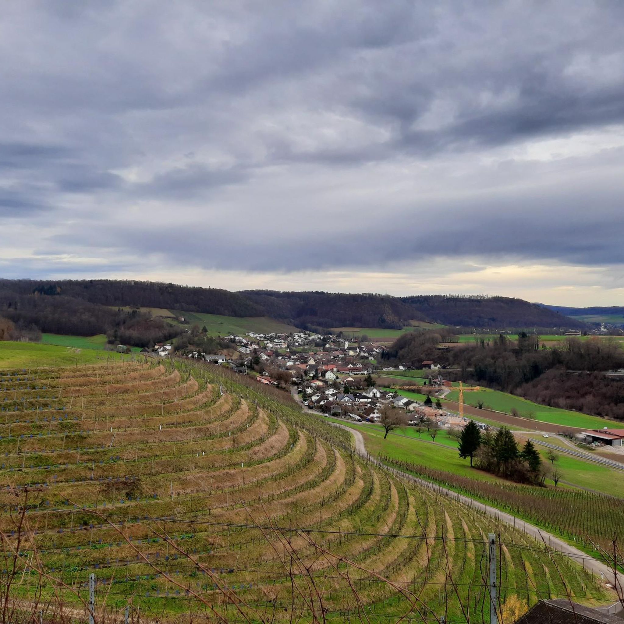
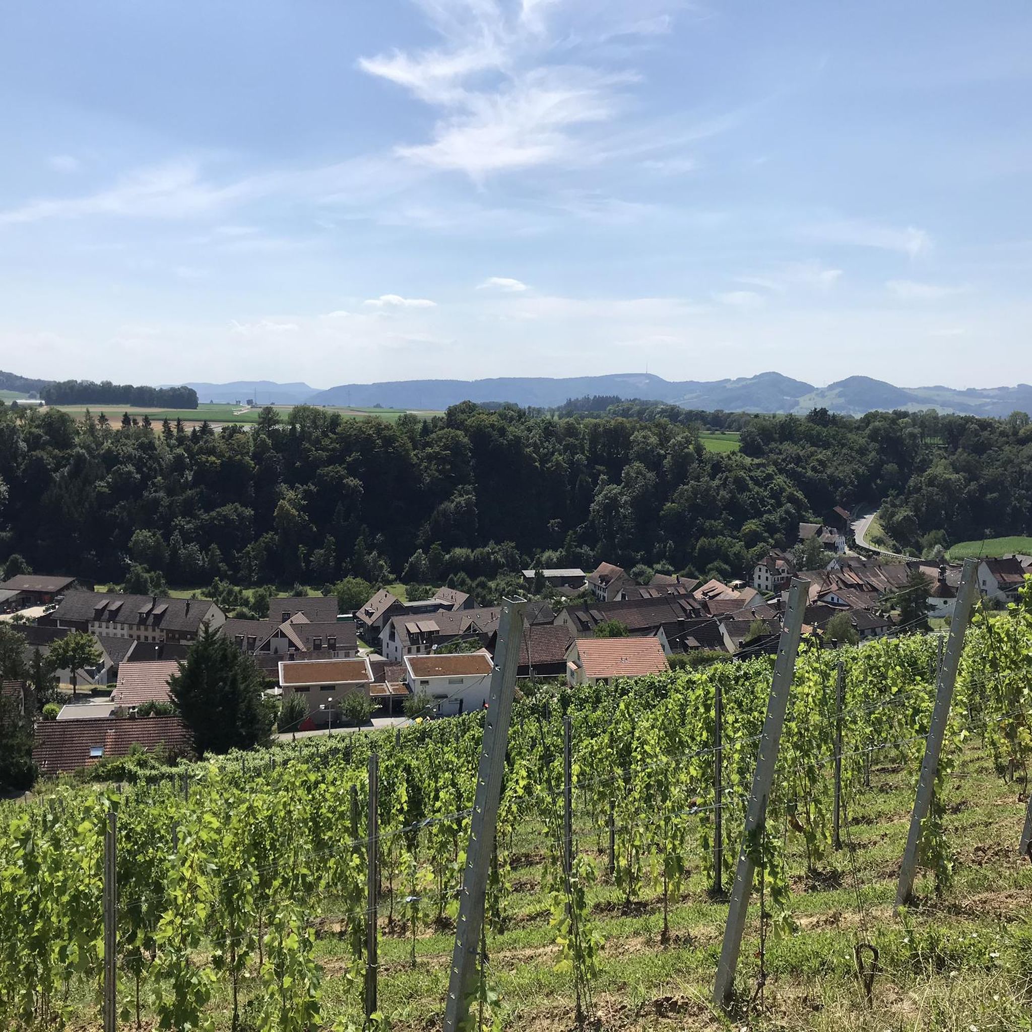
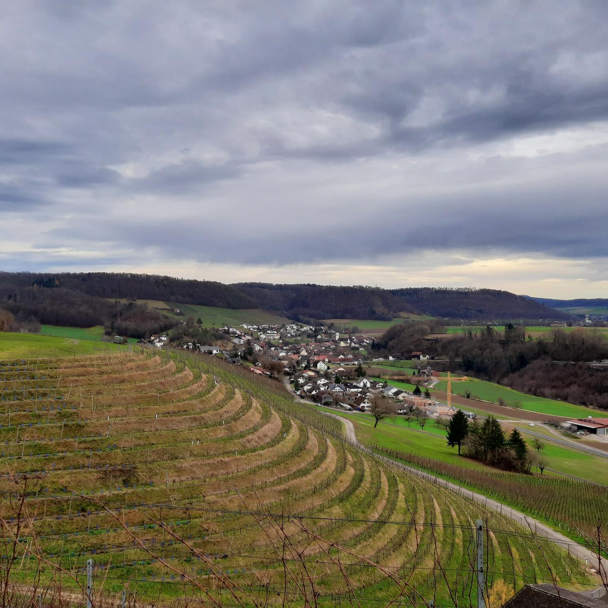
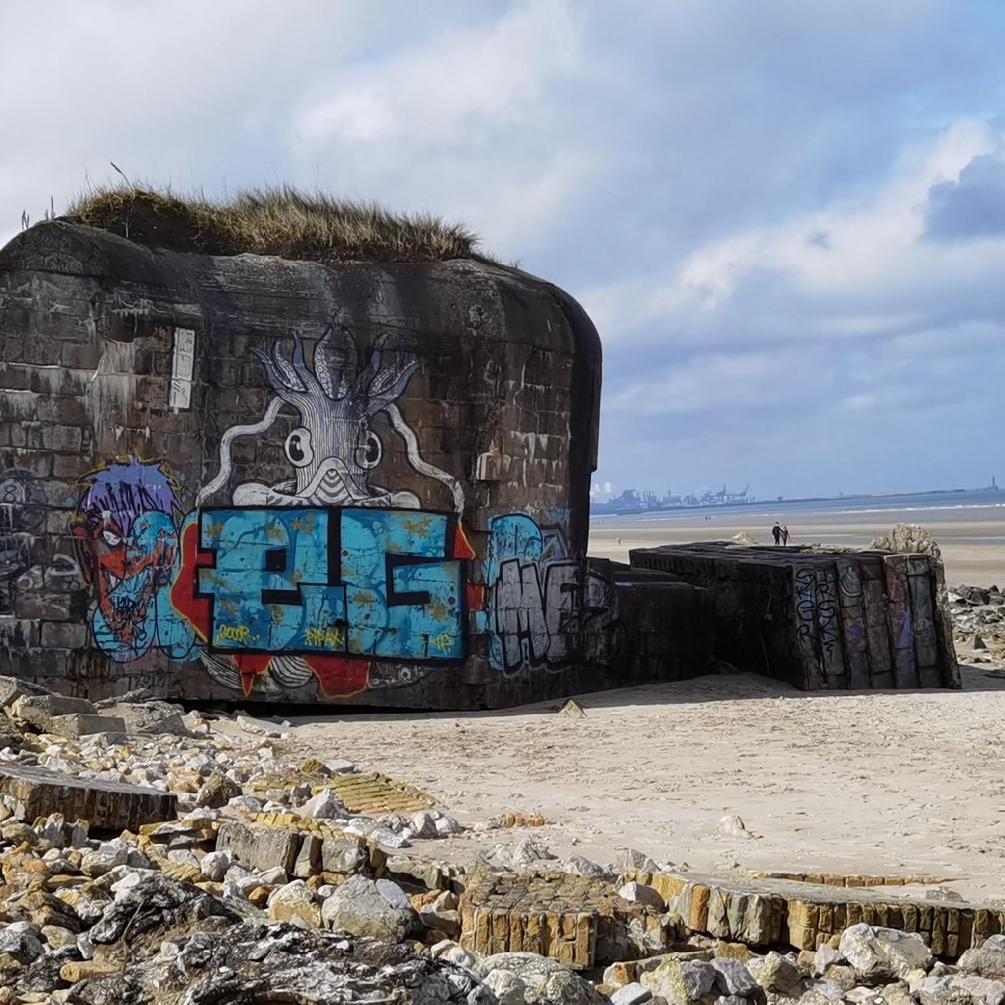
Tips from the Community

A pleasantly wonderful ascent
0
0

very great tour again and again
1
0
Rewarding tour in beautiful scenery.
1
0

Paved cycle path between two villages. Partly running alongside the road, but also secluded from road traffic. Jewish cemetery, old mill in Endingen, many possibilities to turn off and ride on country roads, into the forest.
0
0
A very beautiful photo opportunity: the last bridge over the Aare River. Here, after 292 kilometers, the Aare flows into the Rhine.
0
0

Good connection between the two banks of the Koblenz/Gippingen river
0
0

Here at the hydroelectric power station you can cross the Aare
0
0
Frequently Asked Questions
What types of road cycling routes can I find around Tegerfelden?
Road cycling around Tegerfelden offers a diverse range of routes, from flat sections along river valleys to challenging ascents towards passes like Benkerjoch. You'll find paths navigating nature reserves, rolling hills, and scenic stretches with views of the Glatt River and Klingnauer Stausee. The region caters to various skill levels, with options for easy, moderate, and difficult rides.
How many road cycling routes are available in the Tegerfelden area?
There are over 200 road cycling routes around Tegerfelden listed on komoot. This includes approximately 30 easy routes, 140 moderate routes, and nearly 50 difficult routes, ensuring options for every experience level.
Are there any easy or beginner-friendly road cycling routes near Tegerfelden?
Yes, Tegerfelden offers several easy road cycling routes suitable for beginners or those seeking a more relaxed ride. One example is the Bench Below Flue, Würenlingen – View of Villiger Geisberg loop from Bezirk Zurzach, which covers about 27 km with moderate elevation gain.
Where can I find challenging road cycling routes around Tegerfelden?
For experienced cyclists looking for a challenge, Tegerfelden features routes with significant climbs. The Benkerjoch Pass – View of Aarau loop from Bad Zurzach is a demanding 127 km trail that includes the Benkerjoch Pass, offering substantial elevation gain and panoramic views.
What are the best seasons for road biking in Tegerfelden?
The most enjoyable seasons for road biking in Tegerfelden are typically spring, summer, and early autumn. During these months, the weather is generally mild, and the landscapes are vibrant. While some routes may be accessible in winter, conditions can be unpredictable, with potential for ice or snow, especially on higher passes.
Are there circular road cycling routes available in Tegerfelden?
Many of the road cycling routes around Tegerfelden are designed as loops, allowing you to start and finish in the same location. Examples include the Glatt River Cycle Path – Neeracherried Nature Reserve loop from Bad Zurzach and the View of Klingnauer Stausee – Upper Tower, Kaiserstuhl loop from Döttingen.
What scenic viewpoints or natural attractions can I expect on Tegerfelden's road cycling routes?
Tegerfelden's road cycling routes offer numerous scenic highlights. You can enjoy views of the Glatt River, cycle through the Neeracherried Nature Reserve, or take in the expansive vistas of the Klingnauer Stausee. Routes also lead to points like the Upper Tower near Kaiserstuhl and offer views towards Aarau from higher elevations.
Are there family-friendly road cycling options in the Tegerfelden region?
While road cycling often involves shared roads, some of the easier routes in Tegerfelden, particularly those along flatter river sections, can be suitable for families with older children who are comfortable with road riding. Always check the route's difficulty and traffic conditions to ensure it aligns with your family's experience level.
What do other road cyclists say about the routes in Tegerfelden?
The road cycling routes around Tegerfelden are highly rated by the komoot community, with an average score of 4.6 stars from over 550 reviews. Cyclists often praise the varied terrain, the beautiful river valleys, and the well-maintained paths that offer a mix of challenging climbs and scenic, flatter sections.
Can I access Tegerfelden's road cycling routes using public transport?
Many starting points for road cycling routes around Tegerfelden are accessible via public transport, particularly from towns like Bad Zurzach or Döttingen, which have train or bus connections. It's advisable to check local public transport schedules and regulations regarding bicycle transport before planning your trip.
Are there routes that include passes or significant climbs?
Yes, the Tegerfelden region is known for its rolling hills and passes. The Benkerjoch Pass – View of Aarau loop from Bad Zurzach is a prime example, featuring a substantial climb over the Benkerjoch Pass. Another route, the Bürersteig Pass – Cycle Path Near KKL loop from Döttingen, also includes a notable pass.
Most popular routes around Tegerfelden
Most popular attractions around Tegerfelden

Get inspired with the komoot mobile app


Explore more
Browse the best Road cycling routes in other regions.
