The best road cycling routes around Gerenzano
4.2
(528)
19,222
riders
421
rides
Road cycling around Gerenzano, situated in Lombardy, Italy, provides access to a diverse landscape of plains and agricultural areas. The region features a network of paved and unpaved surfaces, including dedicated cycle paths along canals and streams. Cyclists can experience the quintessential Lombard countryside, with routes extending towards major lakes like Como and Garda. This area offers a mix of gentle terrain and more challenging rides with significant elevation gains.
Best road cycling routes around Gerenzano
- The most popular road…
Last updated: July 8, 2026
4.3
(12)
676
riders
Moderate road ride. Good fitness required. Mostly well-paved surfaces and easy to ride.
4.6
(5)
296
riders
106km
05:29
1,770m
1,770m
Hard road ride. Very good fitness required. Mostly well-paved surfaces and easy to ride.

Sign up for free
5.0
(1)
306
riders
115km
05:31
1,490m
1,490m
Hard road ride. Very good fitness required. Some segments of this route may be unpaved and difficult to ride.
5.0
(1)
112
riders
51.7km
02:18
420m
420m
Moderate road ride. Good fitness required. Mostly well-paved surfaces and easy to ride.
5.0
(2)
103
riders
39.6km
01:43
240m
240m
Moderate road ride. Great for any fitness level. Some segments of this route may be unpaved and difficult to ride.
Get access to more routes and recommendations from other explorers.
Sign up for free
Already have an account?
Our route recommendations are based on thousands of hikes, rides, and runs completed by other people on komoot.
Start today with a free account
Your next adventure awaits.
Login or Signup

Tips from the Community

A nice place to stroll.
1
0

The Valle Olona offers a cycle and pedestrian path of about 50 km that develops mainly on flat ground along the river. However, for those who love a challenge, the surrounding hills offer climbs and descents with challenging gradients of up to 10%.
0
0
The Cascata della Vallategna is a spectacular waterfall of about 30 meters located on the geographical border between the municipalities of Asso and Canzo, in the province of Como. This natural attraction represents a famous symbolic border, as it separates the end of the hilly Brianza from the beginning of the mountainous area of Vallassina.
3
0

Perfect for a coffee break
1
0

Going uphill must be very tough. There are ramps at 20%. Going downhill you have to be careful.
0
0

From the Colma di Sormano you can enjoy a magnificent panorama
0
0

The waterfall that divides Brianza from Valassina
0
0
Frequently Asked Questions
How many road cycling routes are available around Gerenzano?
There are over 450 road cycling routes around Gerenzano, offering a wide variety of options for different skill levels. Approximately 130 are considered easy, 270 moderate, and 50 are difficult.
What kind of terrain can I expect on road cycling routes near Gerenzano?
The region around Gerenzano features a diverse mix of terrain. You'll find routes through the quintessential Lombard countryside with rolling plains and agricultural areas, as well as dedicated cycle paths along canals like the Villoresi Canal. Some routes also offer significant elevation gains, especially those extending towards major lakes like Como, providing a good challenge for experienced cyclists.
Are there any easy or beginner-friendly road cycling routes in Gerenzano?
Yes, Gerenzano offers numerous easy routes suitable for beginners or those looking for a relaxed ride. Many routes follow flat sections along canals and streams, such as the Villoresi Canal cycle path, which provides a gentle experience through the Lombard countryside.
What are some scenic viewpoints or natural features I can see along the road cycling routes?
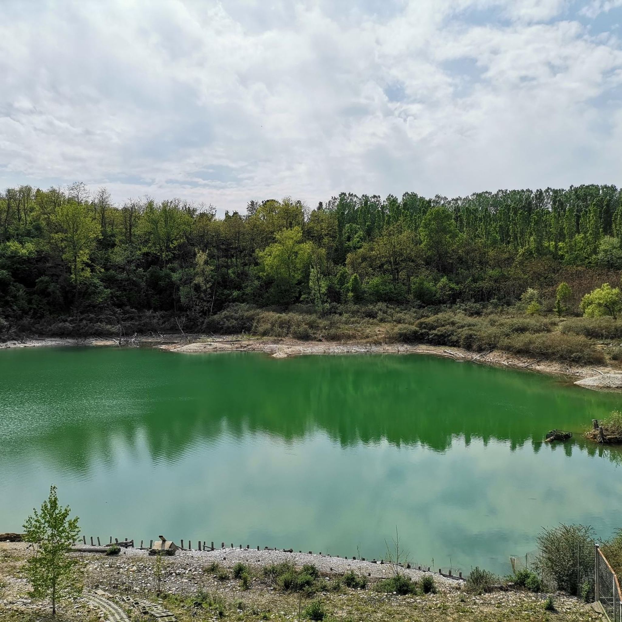
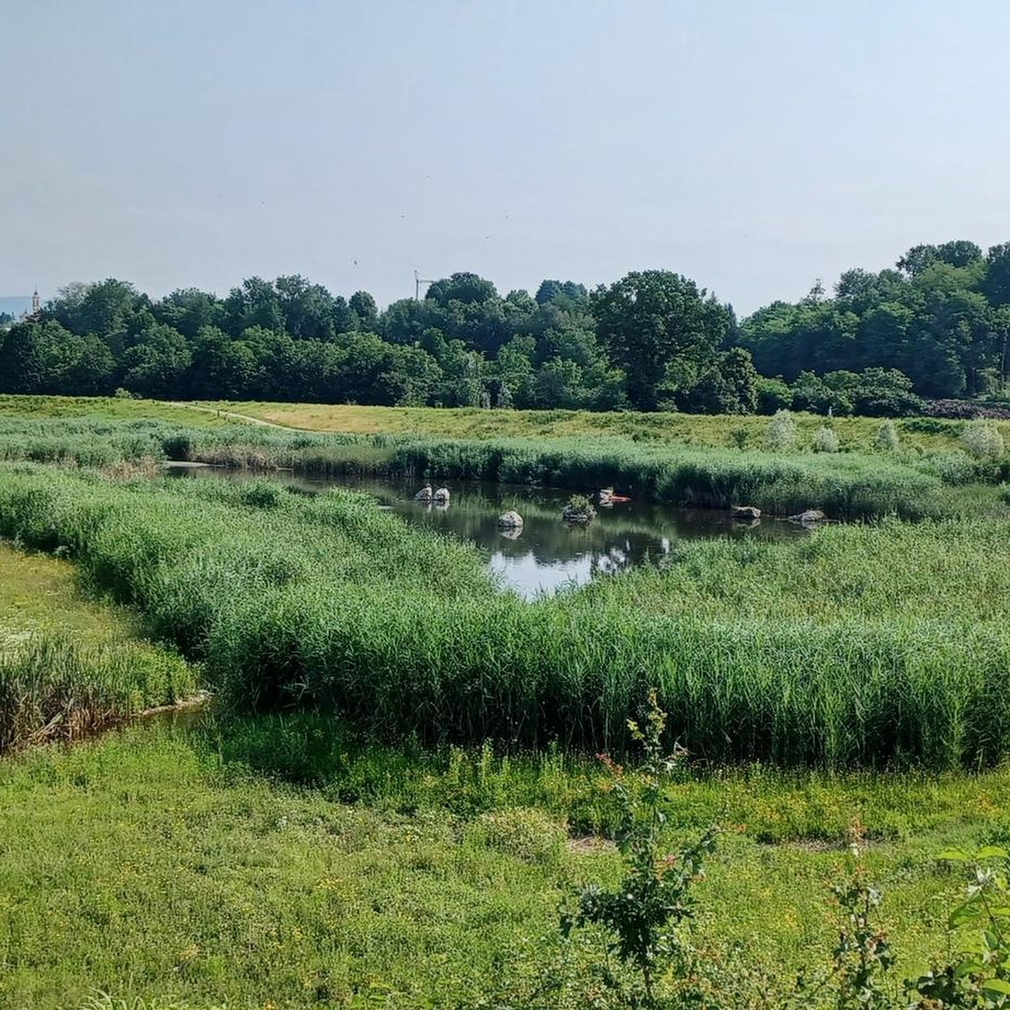
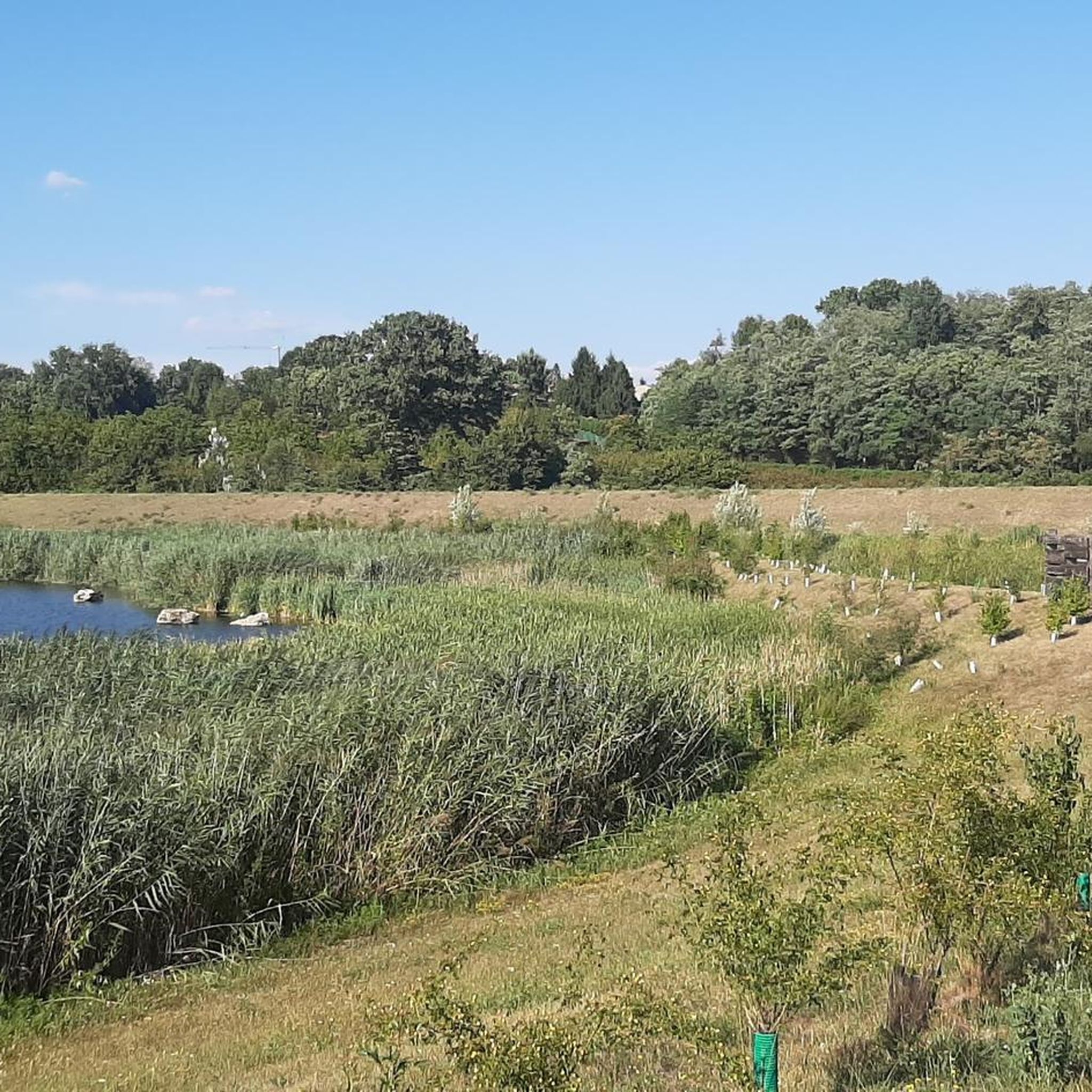
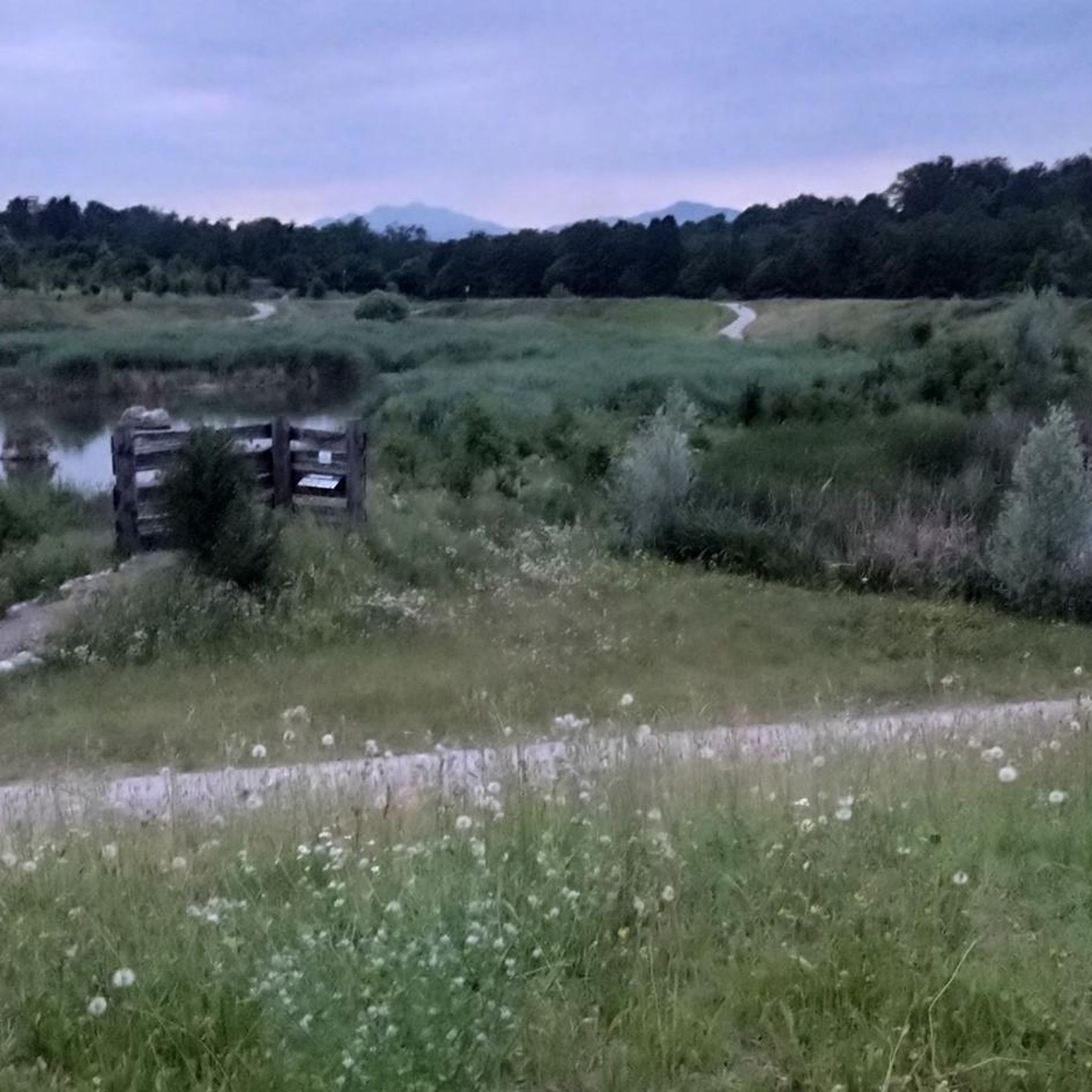
Road cycling routes near Gerenzano offer access to beautiful natural features. You can explore areas like Lura Park, a natural recovery area with woodlands and a large lake basin. Routes extending towards Lake Como, such as the Argegno on the shores of Lake Como – San Fermo della Battaglia loop from Saronno, provide stunning lake views. You might also encounter natural gorges and waterfalls on more challenging routes like the Vallategna Waterfall – Nesso Gorge loop from Saronno.
Are there any road cycling routes that pass by historical or cultural attractions?
While Gerenzano itself is a smaller town, its location allows access to nearby historical sites. Cyclists can find routes that pass through charming small towns in the Lombard countryside. For example, the region is home to attractions like the 12th-century Castello Visconteo and the Parco Museo del Tessile, a public garden surrounding an ancient cotton mill. The Villoresi Canal Cycle Path itself is a historic waterway.
What is the best time of year for road cycling around Gerenzano?
The Lombardy region generally offers pleasant cycling conditions during spring and autumn, when temperatures are milder and the landscapes are vibrant. Summer can be warm, especially in the plains, while winter might bring colder temperatures, though cycling is still possible on many routes.
Can I find challenging road cycling routes with significant elevation gain?
Absolutely. For experienced cyclists seeking a challenge, routes like the Vallategna Waterfall – Nesso Gorge loop from Saronno offer significant elevation gain, reaching over 1700 meters. Another demanding option is the Argegno on the shores of Lake Como – Val Mara Hairpin Climb loop from Saronno, which features substantial climbs.
Are there any loop trails for road cycling near Gerenzano?
Yes, many road cycling routes around Gerenzano are designed as loops, allowing you to start and finish in the same location. Examples include the Argegno on the shores of Lake Como – San Fermo della Battaglia loop from Saronno and the Steep Path and Dirt Track – Bergoro Climb loop from Gerenzano-Turate.
What do other road cyclists enjoy most about the routes in Gerenzano?
The road cycling routes in Gerenzano are highly rated by the komoot community, with an average score of 4.2 stars from over 500 reviews. Cyclists often praise the diverse terrain, from flat canal paths to challenging climbs, and the scenic beauty of the Lombard countryside and proximity to major lakes.
Is it possible to access road cycling routes near Gerenzano using public transport?
Gerenzano is well-connected, and nearby towns like Saronno serve as good starting points for many routes. While specific public transport details for each route's trailhead aren't provided, the region's accessibility from major airports suggests good regional transport links that could facilitate reaching cycling starting points.
Are there any cafes or pubs along the road cycling routes for a break?
While specific cafes or pubs directly on every route are not detailed, the region around Gerenzano, including nearby towns like Saronno, Turate, and Cislago, offers various amenities. It's common to find cyclist-friendly establishments in these towns where you can take a break and refuel.
Where can I find parking for road cycling routes, especially for paths like the Villoresi Canal Cycle Path?
For routes like the Villoresi Canal Cycle Path, parking is generally available in the towns or villages adjacent to the canal. While specific parking spots are not listed, starting points in towns like Saronno or Gerenzano itself would typically offer parking options for cyclists.
Most popular attractions around Gerenzano

Get inspired with the komoot mobile app


Explore more
Browse the best Road cycling routes in other regions.
