The best MTB trails around Tautenhain
4.7
(468)
1,430
riders
196
rides
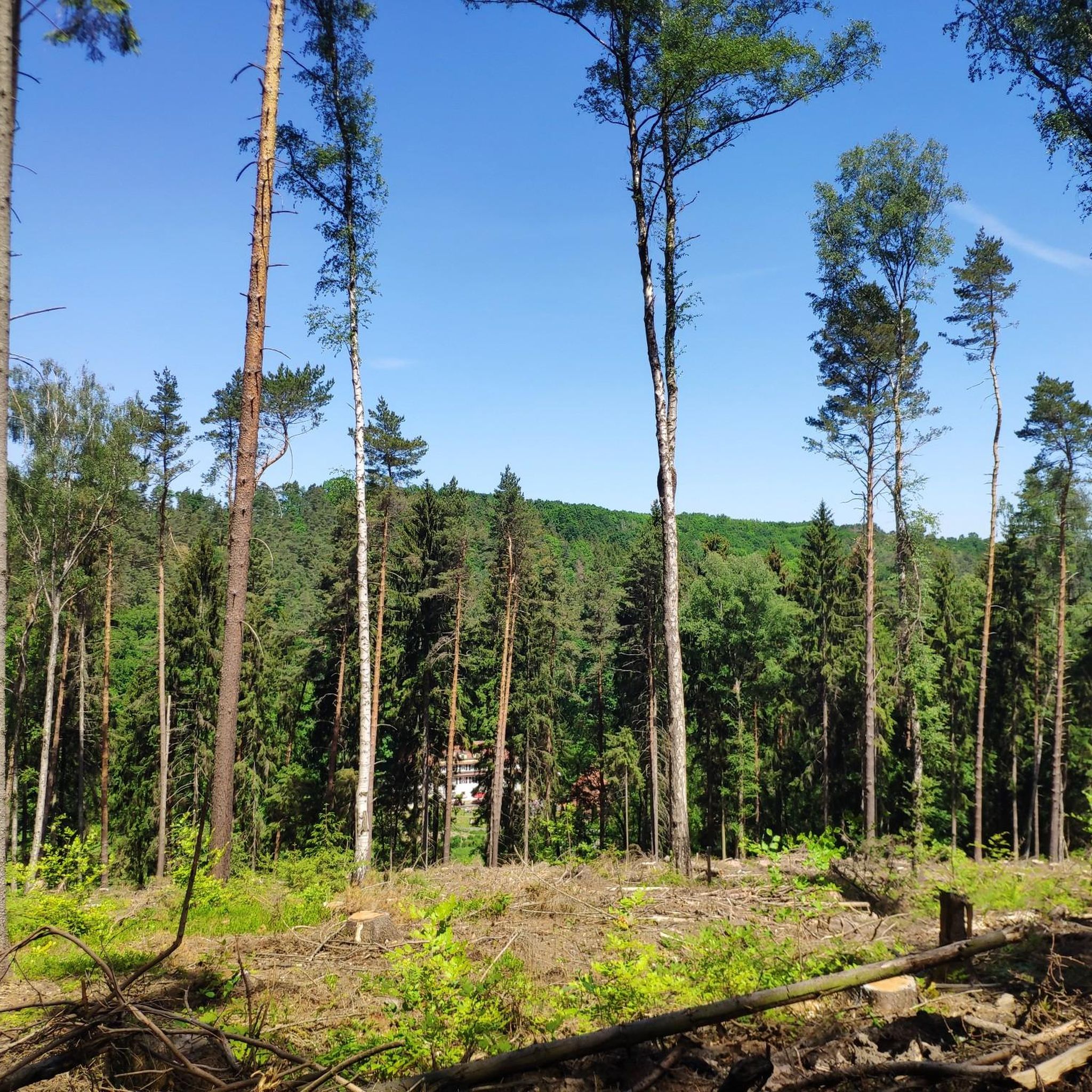
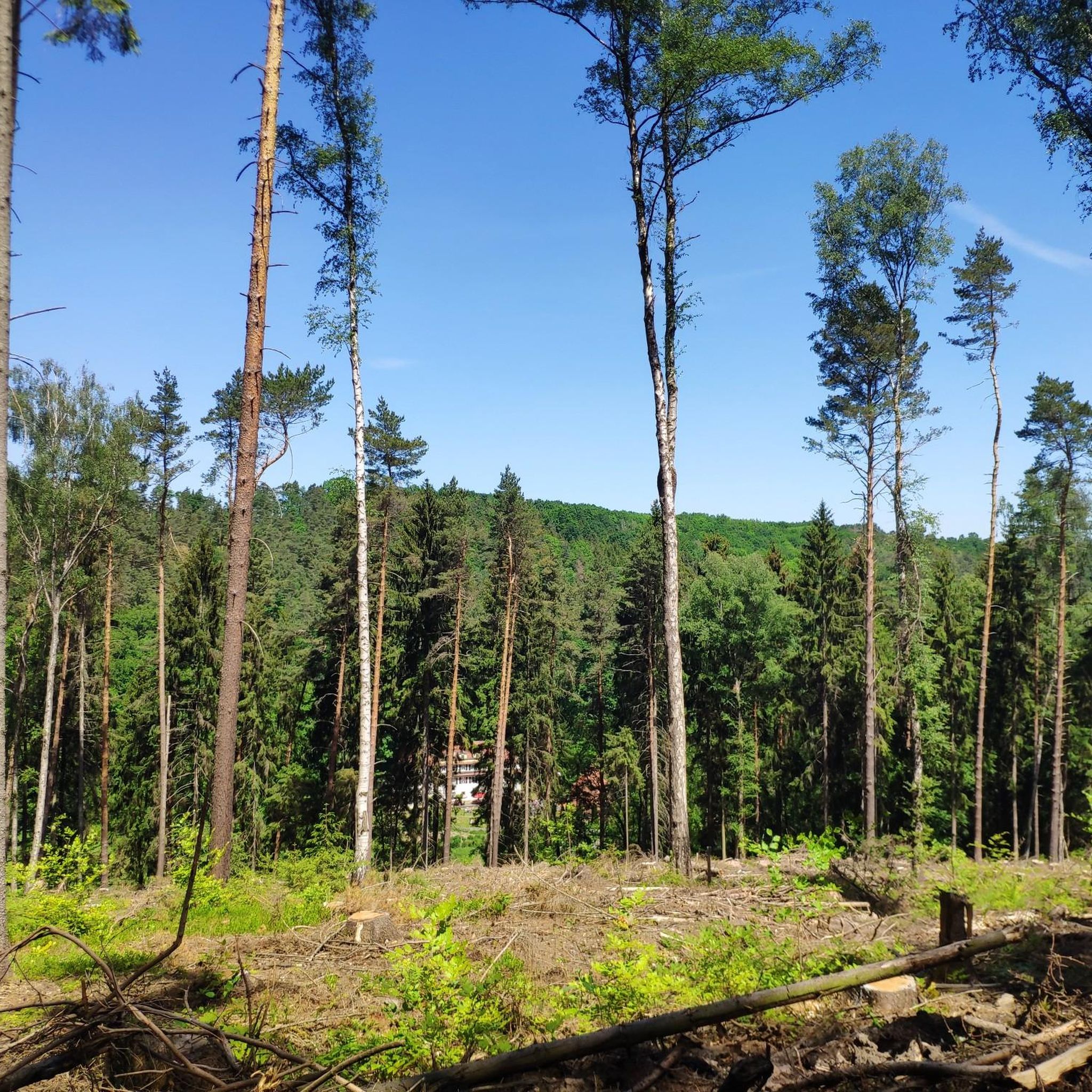
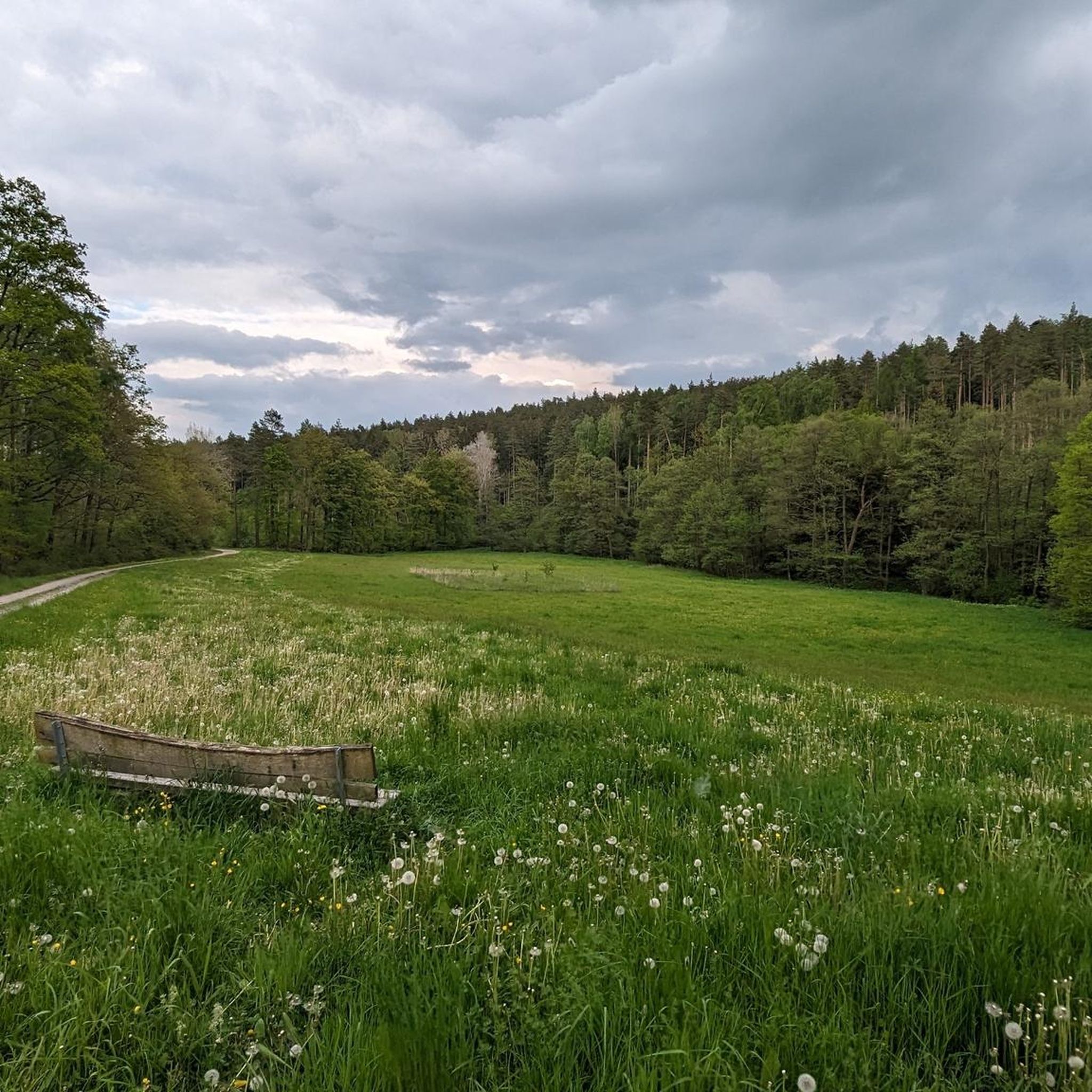
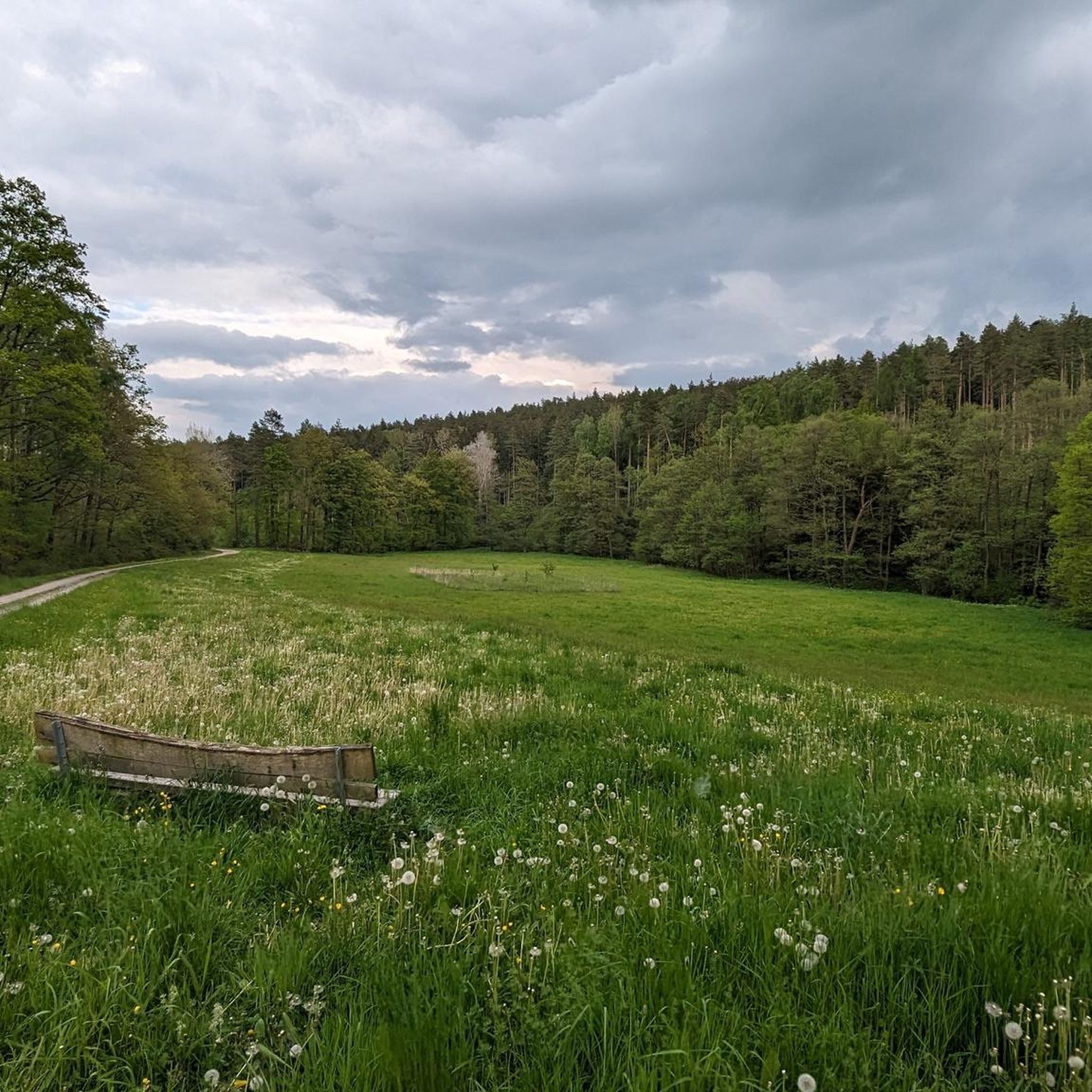
Mountain biking around Tautenhain offers a network of routes through varied terrain. The region features rolling hills, forested areas, and open landscapes, with elevations typically under 400 meters. Trails often follow natural contours, providing a mix of ascents and descents suitable for different skill levels. The area is characterized by its green valleys and woodlands, providing a natural setting for mountain biking.
Best mountain bike trails around Tautenhain
- The most popular mountain bike trail is Hofwiesenpark – Himmelsgrund Trail loop from Tautenhain, a 26.7 miles (43 km) trail that takes 2 hours 38 minutes to complete. This moderate route navigates through parkland and natural ground.
- Another top favourite among local mountain bikers is Start of Multiple Trails – Start of Milos Claw Trail loop from Rauda, a moderate 10.6 miles (17 km) path. This route features a mix of forest paths and open sections with notable elevation changes.
- Local mountain bikers also love the Rest Area in Mühltal – Meuschkens Mill loop from Eisenberg, a 13.0 miles (21 km) trail leading through the Mühltal valley, often completed in about 1 hour 16 minutes.
- Mountain biking around Tautenhain is defined by its valleys, woodlands, and rolling hills. The network offers options for easy family friendly mountain bike trails as well as more advanced mountain biking routes.
- The routes in Tautenhain are highly rated by the komoot community with an average score of 4.7 stars from more than 450 reviews. More than 1400 mountain bikers have used komoot to explore Tautenhain's varied terrain.
Last updated: May 12, 2026
4.8
(49)
135
riders
43.1km
02:38
300m
300m
Moderate mountain bike ride. Good fitness required. Advanced riding skills necessary.
4.9
(7)
49
riders
17.4km
01:35
360m
360m
Moderate mountain bike ride. Good fitness required. Advanced riding skills necessary.

Sign up for free
4.2
(5)
20
riders
20.7km
01:14
220m
210m
Easy mountain bike ride. Great for any fitness level. Suitable for all skill levels.
4.0
(1)
15
riders
Easy mountain bike ride. Great for any fitness level. Suitable for all skill levels.
3.3
(4)
9
riders
19.0km
01:23
210m
210m
Easy mountain bike ride. Great for any fitness level. Suitable for all skill levels.
Get access to more routes and recommendations from other explorers.
Sign up for free
Already have an account?
Our route recommendations are based on thousands of hikes, rides, and runs completed by other people on komoot.
Start today with a free account
Your next adventure awaits.
Login or Signup

Tips from the Community

Beautiful forest paths and interesting moorland landscape.
13
0

Beautiful, carved wooden figures. Highly recommended.
0
0

The Meuschkensmühle is a lovingly restored mill in the heart of the Mühltal valley, surrounded by forest, water, and hiking trails. Once a working mill, it is now a cozy destination with a restaurant, petting zoo, and riding stables.
12
0
The Red Puddle is a small stream and pond nestled in a moorland landscape surrounded by spruce and pine forests. The area was formerly a center of peat extraction, which ceased in 1972. Traces of the old peat railway, which connected the moor to the spa center, are still visible today. Today, the moor is a protected refuge for numerous plant and animal species. The area can be easily explored on well-marked trails. Interpretive panels provide information about the unique flora and fauna, as well as the historical use of the moor.
11
0

A little insider tip is the juice bar. Here you can get delicious soft-serve ice cream 😋 and homemade hot chocolate. They also have other great things. The price/performance ratio is perfect.
0
0

The large church belongs to the parish of Rüdersdorf and impresses with its size and beautiful interior
0
0


For inexperienced riders, the right path is very difficult to ride. It takes a lot of strength to steer your bike along it.
0
0
Frequently Asked Questions
How many mountain bike trails are available around Tautenhain?
There are over 200 mountain bike routes around Tautenhain, offering a wide range of options for different skill levels and preferences.
Are there easy or family-friendly mountain bike trails in the Tautenhain area?
Yes, Tautenhain offers a good selection of easy and family-friendly mountain bike trails. Approximately 56 routes are classified as easy. An example is the Rest Area in Mühltal – Meuschkens Mill loop from Eisenberg, which is 13.0 miles (21 km) long and leads through the scenic Mühltal valley.
Are there challenging mountain bike trails for experienced riders?
While the region is known for its rolling hills and woodlands, there are still options for more experienced riders. About 11 routes are categorized as difficult, featuring notable elevation changes and technical sections. The terrain around Tautenhain provides a mix of ascents and descents to keep advanced riders engaged.
What is the typical duration for mountain bike trails in Tautenhain?
Trail durations vary significantly based on length and difficulty. For example, the Start of Multiple Trails – Start of Milos Claw Trail loop from Rauda, a moderate 10.6 miles (17 km) path, typically takes around 1 hour 35 minutes. Longer routes, like the Hofwiesenpark – Himmelsgrund Trail loop from Tautenhain (26.7 miles / 43 km), can take closer to 2 hours 38 minutes.
When is the best time of year to go mountain biking in Tautenhain?
The best time for mountain biking in Tautenhain is generally from spring through autumn (April to October). During these months, the weather is usually mild, and the trails are in good condition. While winter riding is possible, be prepared for colder temperatures, potential snow, and muddy conditions.
Are there circular mountain bike routes available?
Yes, many of the mountain bike routes around Tautenhain are designed as circular loops, allowing you to start and end at the same point. This makes planning your ride and logistics, such as parking, much easier. An example is the View of the Roter Pfützensumpf – Rest Area in Mühltal loop from Eisenberg.
What kind of viewpoints can I expect on mountain bike trails in Tautenhain?
The rolling hills and varied terrain around Tautenhain offer several scenic viewpoints. You might find panoramic views over green valleys and forested areas. For specific elevated perspectives, consider routes that pass near highlights like View from Tümmelsberg or the summits of Mühlberg and Weißer Berg.
Are there places to stop for refreshments along the mountain bike trails?
Many routes pass through or near small towns and villages where you can find cafes or restaurants. Some trails might also lead past traditional inns or pubs, such as the Ziegenmühle Köhlersberg, offering opportunities for a break and refreshment.
What do other mountain bikers enjoy most about mountain biking in Tautenhain?
The mountain bike trails in Tautenhain are highly rated by the komoot community, with an average score of 4.7 stars from over 450 reviews. Riders often praise the varied terrain, the peaceful woodlands, and the well-maintained paths that cater to different skill levels.
What historical sites or attractions can I see near the mountain bike trails?
The region around Tautenhain is rich in history and natural beauty. You can find several castles and historical sites. Consider exploring routes that pass near Osterstein Castle, the Eisenberg Palace Park, or the ruins of Große Rabsburg Medieval Castle. The Bürgel Station – Hainspitz Castle Park loop from Eisenberg is an example of a route that takes you past historical points of interest.
Is parking generally available near the trailheads in Tautenhain?
While specific parking information for every trailhead isn't provided, routes often start from towns or designated recreational areas where public parking is typically available. When planning your route, check the starting point for nearby parking options, especially in towns like Eisenberg or Rauda.
Most popular routes around Tautenhain
Most popular attractions around Tautenhain

Get inspired with the komoot mobile app


Explore more
Browse the best MTB trails in other regions.
