The best walks and hikes around Rocchetta Tanaro
4.3
(310)
1,210
hikers
155
hikes
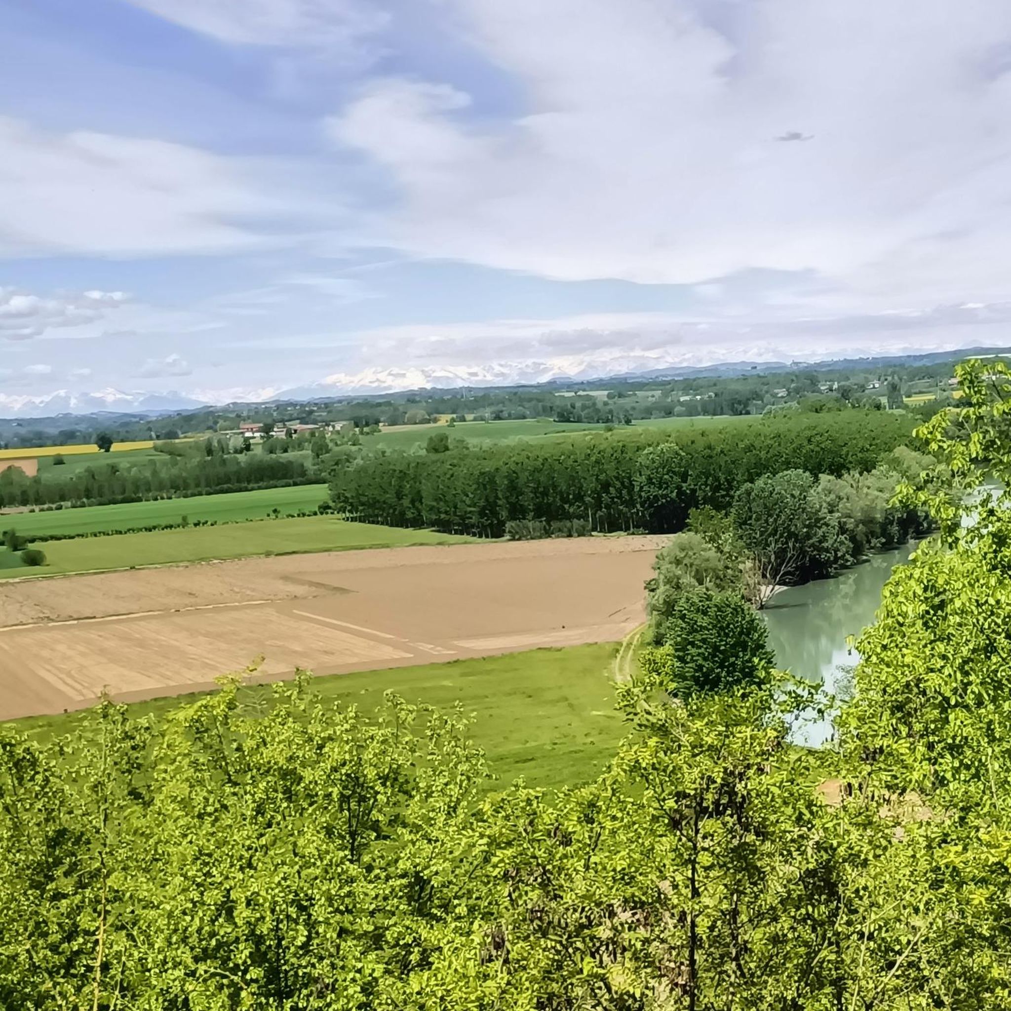
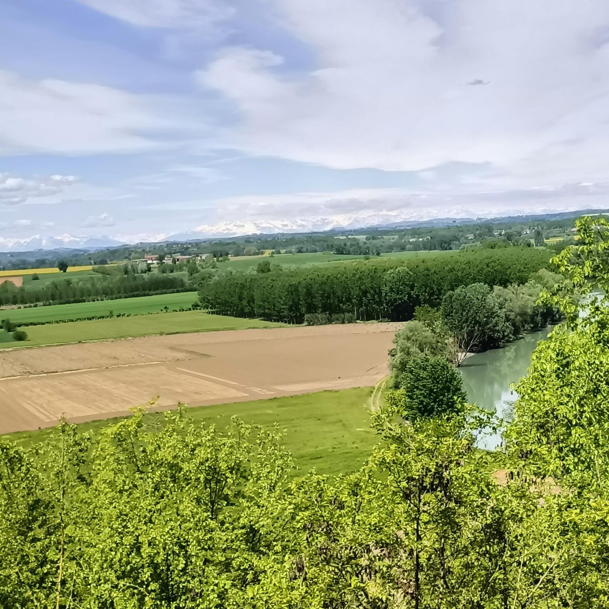
Hiking around Rocchetta Tanaro is centered on the Rocchetta Tanaro Natural Park, a protected area spanning approximately 120-123 hectares. The region features a hilly plateau that gently slopes towards the Tanaro River, offering views of the valley. The landscape is characterized by rich, mixed oak forests, including ancient beech trees, and is bordered by small rivers like the Rio Rabengo and Rio Ronsinaggio. Geologically, the area consists of yellow Villafranchian sands with underlying older sands containing fossil remains.
Best hiking…
Last updated: July 7, 2026
3.0
(1)
4
hikers
6.02km
01:40
110m
110m
Easy hike. Great for any fitness level. Easily-accessible paths. Suitable for all skill levels.
4.7
(25)
70
hikers
6.50km
01:49
120m
120m
Easy hike. Great for any fitness level. Easily-accessible paths. Suitable for all skill levels.

Sign up for free
4.2
(5)
28
hikers
Moderate hike. Good fitness required. Easily-accessible paths. Suitable for all skill levels.
5.0
(2)
9
hikers
12.7km
03:28
180m
180m
Moderate hike. Good fitness required. Easily-accessible paths. Suitable for all skill levels.
4.5
(2)
4
hikers
2.77km
00:49
70m
70m
Easy hike. Great for any fitness level. Easily-accessible paths. Suitable for all skill levels.
Get access to more routes and recommendations from other explorers.
Sign up for free
Already have an account?
Our route recommendations are based on thousands of hikes, rides, and runs completed by other people on komoot.
Start today with a free account
Your next adventure awaits.
Login or Signup

Tips from the Community


A memorial mushroom with a seat
2
0
A very interesting trail with lots of trees.
2
0

In the Park, short hikes in the woods are possible, on paths indicated by special trail markers
0
0
Frequently Asked Questions
What kind of terrain can I expect on hikes around Rocchetta Tanaro?
The hiking trails in Rocchetta Tanaro primarily traverse a hilly plateau that gently slopes towards the Tanaro River. You'll find yourself walking through rich, mixed oak forests, including areas with ancient beech trees, and along the banks of small rivers like the Rio Rabengo and Rio Ronsinaggio. The subsoil is composed of yellow Villafranchian sands, offering varied and generally well-maintained paths.
How many hiking trails are available in Rocchetta Tanaro?
There are over 130 hiking trails documented on komoot for the Rocchetta Tanaro area, offering a wide range of options for different skill levels and preferences.
Are there any easy or family-friendly hiking options in Rocchetta Tanaro?
Yes, Rocchetta Tanaro offers several easy and family-friendly routes. For instance, the Rocchetta Tanaro Loop is an easy 6 km path that takes about 2 hours to complete, perfect for a relaxed outing. The Natural Park itself has marked trails suitable for various levels, including a path designed for the visually impaired.
What natural features or landmarks can I see along the hiking trails?
Within the Rocchetta Tanaro Natural Park, you can discover diverse woodlands, including monumental ancient beech trees like the 'Great Beech Tree'. The park is bordered by the Rio Rabengo and Rio Ronsinaggio, indicating good water quality. You might also find the 'Casa del Parco' visitor center, picnic areas, and the 'Canà spring', a source of ferruginous water.
Are there any historical sites or attractions near the hiking routes?
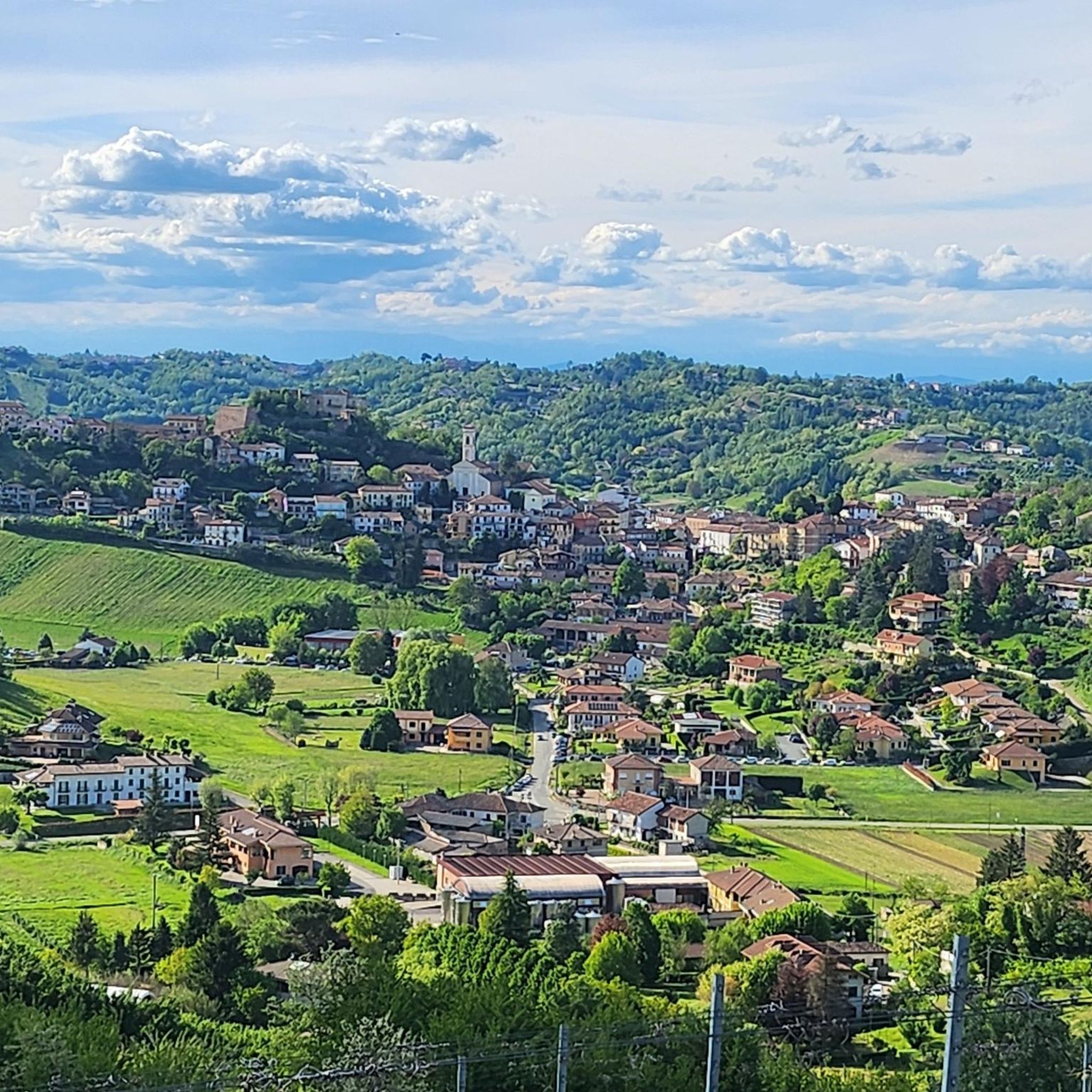
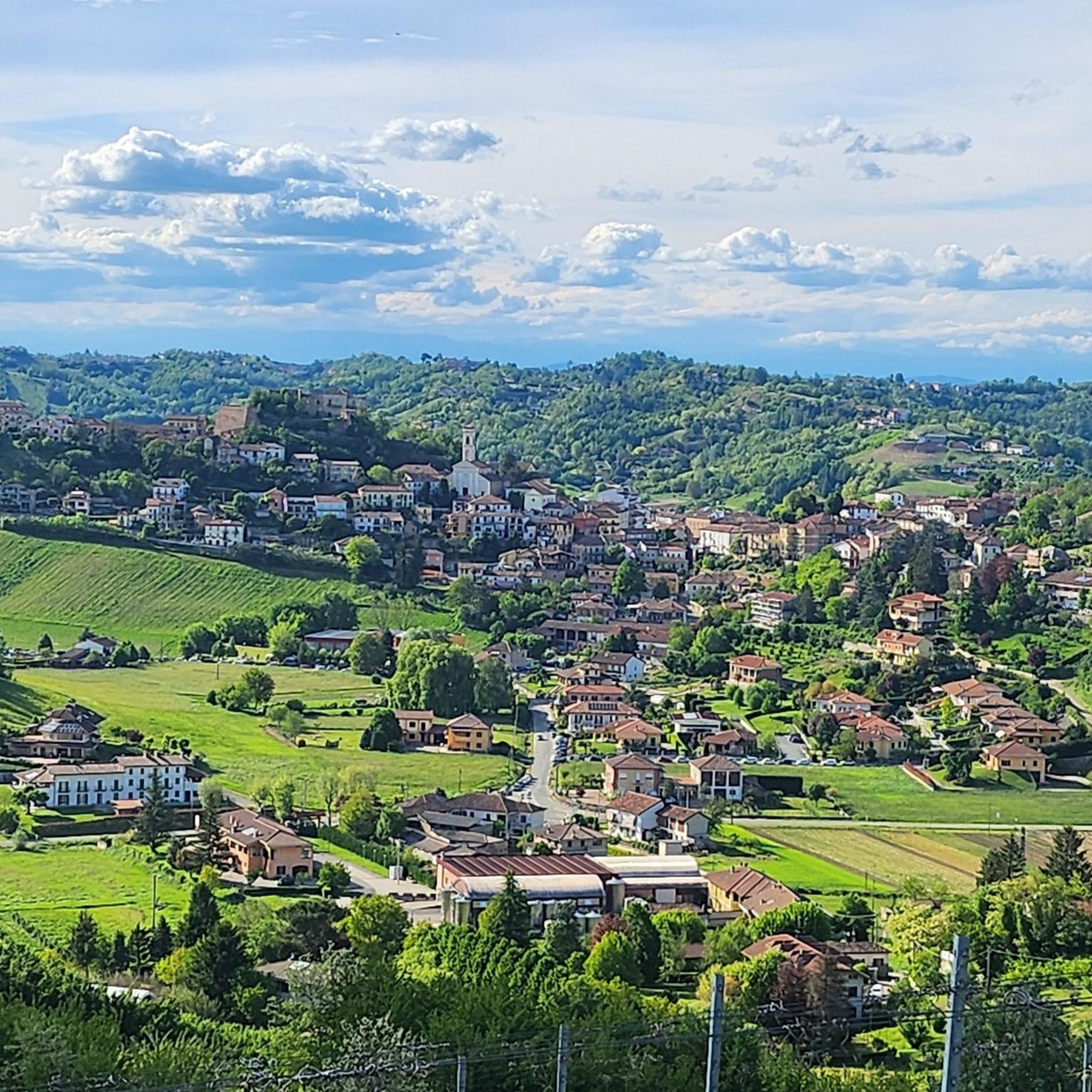
Beyond the natural beauty, Rocchetta Tanaro has historical charm. You can explore the town's historical sections, including a church, an ancient castle, and traditional wine cellars. Nearby attractions include the Collegiate Church of Saint Secondo, the Monument to the Unification of Italy, and various castles such as Castello di Montegrosso d'Asti and Lajone Castle.
What do other hikers enjoy most about hiking in Rocchetta Tanaro?
The komoot community highly rates the hiking experience in Rocchetta Tanaro, with an average score of 4.3 stars from over 200 reviews. Hikers often praise the diverse woodlands, the scenic views of the Tanaro valley, and the well-marked trails that cater to various difficulty levels.
Are there any circular hiking routes in the area?
Yes, circular routes are a popular option. The Rocchetta Tanaro Loop is an easy 6 km circular path within the Natural Park. For a more challenging option, the Great Rocchetta Tanaro Park Loop is a difficult 23.5 km route that explores the park's diverse features.
Is Rocchetta Tanaro Natural Park dog-friendly?
The Rocchetta Tanaro Natural Park is generally welcoming to dogs, but it's always recommended to keep them on a leash to protect the local wildlife and ensure a pleasant experience for all visitors. Please check local signage for any specific restrictions.
Is public transport available to reach the hiking areas in Rocchetta Tanaro?
While Rocchetta Tanaro is accessible, public transport options might be limited directly to all trailheads. It's advisable to check local bus schedules or consider driving, especially if you plan to explore routes deeper within the Natural Park. The town of Rocchetta Tanaro itself has some public transport connections.
Is parking available at the trailheads?
Yes, parking is generally available near the main access points to the Rocchetta Tanaro Natural Park and various trailheads. The 'Casa del Parco' (visitor center) within the park is a good starting point and typically offers parking facilities.
Are permits required for hiking in Rocchetta Tanaro Natural Park?
No, permits are generally not required for hiking within the Rocchetta Tanaro Natural Park. It is a publicly accessible protected area with marked trails for visitors to enjoy freely.
What is the best time of year to hike in Rocchetta Tanaro?
The best time to hike in Rocchetta Tanaro is typically during spring (April-June) and autumn (September-October) when the weather is mild and the natural scenery is at its most vibrant, with blooming flowers or colorful foliage. Summer can be warm, but the shaded forest trails offer some respite. Winter hikes are possible, but some paths might be muddy or slippery.
Are there cafes or places to eat near the hiking trails?
The town of Rocchetta Tanaro and surrounding villages offer various amenities, including cafes, restaurants, and traditional wine cellars where you can find refreshments and local cuisine after your hike. Within the Natural Park itself, there are picnic areas for packed lunches.
Most popular routes around Rocchetta Tanaro
Most popular attractions around Rocchetta Tanaro

Get inspired with the komoot mobile app


Explore more
Browse the best Hikes in other regions.
