The best walks and hikes around Taufkirchen an der Pram
4.5
(1203)
5,878
hikers
412
hikes
Hiking around Taufkirchen an der Pram offers diverse landscapes characterized by the Pram Valley and its river, rolling hills, and fertile fields. The region features a network of trails that traverse both natural and agriculturally used areas. Hikers can expect a mix of open fields, wooded sections, and views of the cultivated landscape. This varied terrain provides a dynamic experience for outdoor enthusiasts.
Best hiking trails in Taufkirchen an der Pram
- The most popular hiking route is Pram Bridge in…
Last updated: May 24, 2026
4.0
(1)
15
hikers
9.93km
02:35
70m
70m
Moderate hike. Good fitness required. Easily-accessible paths. Suitable for all skill levels.
5
hikers
Easy hike. Great for any fitness level. Easily-accessible paths. Suitable for all skill levels.

Sign up for free
4.0
(2)
5
hikers
Moderate hike. Good fitness required. Easily-accessible paths. Suitable for all skill levels.
5
hikers
5.05km
01:18
20m
20m
Easy hike. Great for any fitness level. Easily-accessible paths. Suitable for all skill levels.
5
hikers
9.47km
02:39
180m
190m
Moderate hike. Good fitness required. Easily-accessible paths. Suitable for all skill levels.
Get access to more routes and recommendations from other explorers.
Sign up for free
Already have an account?
Our route recommendations are based on thousands of hikes, rides, and runs completed by other people on komoot.
Start today with a free account
Your next adventure awaits.
Login or Signup
Tips from the Community

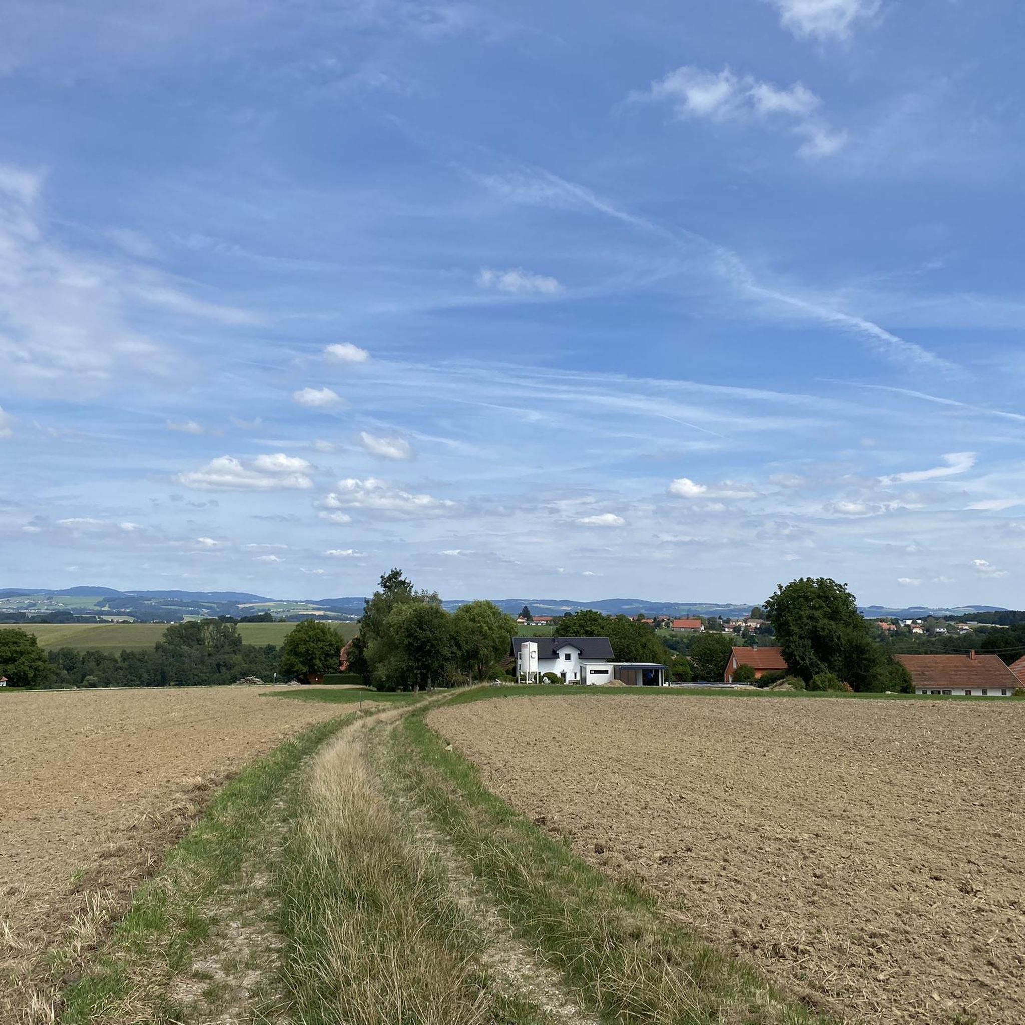
Back in Schwendt Taufkirchen on the Pram.
0
0
Looking back towards Wagholming, with Rahaberg behind it.
0
0
Wagholming and the branch church of St. Lawrence.
0
0
Mouth of the Biberbach into the Pram in Windten.
0
0
Windten is a village near Taufkirchen, next to the Pram river.
0
0
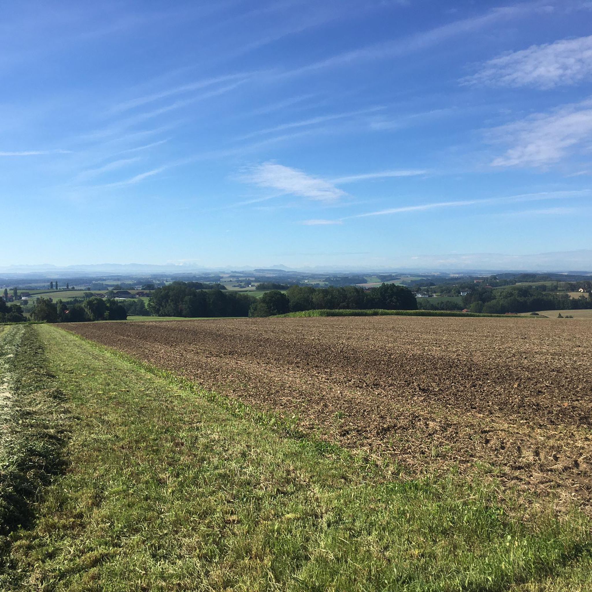
Singletrack trail in Holzing, with a view of Jechtenham.
0
0
View from Horzing of the baptistery on the Pram
0
0
Weitblick nach Kopfing Landsberg Eitzenberg.
0
0
Frequently Asked Questions
How many hiking trails are available in Taufkirchen an der Pram?
Taufkirchen an der Pram offers over 400 hiking routes, catering to various preferences and fitness levels. You'll find a diverse network of trails through riverine landscapes, rolling hills, and agricultural areas.
What kind of terrain can I expect on hikes in Taufkirchen an der Pram?
The region features varied terrain, including paths along the Pram River, through open fields, and wooded sections. Many routes traverse both natural and agriculturally used areas, offering a dynamic hiking experience with views of the cultivated landscape.
Are there any easy or beginner-friendly hiking routes?
Yes, Taufkirchen an der Pram has over 220 easy routes suitable for beginners or those looking for a relaxed walk. An example is the Windten – Filial Church of Wagholming loop from Taufkirchen an der Pram, which is just under 4 km long with minimal elevation gain.
Can I find circular hiking routes in the area?
Many of the hiking trails in Taufkirchen an der Pram are designed as circular routes, allowing you to start and end at the same point. The Pram Bridge in Antersham – Teuflau Woods loop from Unterpramau is a popular moderate circular trail that follows the Pram River.
What natural attractions can I see while hiking?
The Pram Valley and River are central natural features, with several routes running alongside them. You might encounter an approximately 1,700-year-old bog oak along the Pramweg. Other natural monuments in the wider area include the Jungfraustein (Rocking Stone) and the Thousand-Year-Old Linden.
Are there any cultural landmarks or points of interest along the trails?
Yes, some trails integrate cultural sights. The Marterl- und Kapellenweg, for instance, is a 12 km route that takes hikers past cultural landmarks such as Rochus Chapel and other village chapels. You can also find highlights like the Pilgrimage chapel and spring nearby.
What do other hikers say about the trails in Taufkirchen an der Pram?
The routes in Taufkirchen an der Pram are highly rated by the komoot community, with an average score of 4.5 stars from over 1,100 reviews. Hikers often praise the varied terrain and the scenic beauty of the Pram Valley.
Are there any longer hiking routes for experienced hikers?
While most routes are easy to moderate, there are options for longer hikes. For example, the Andorfer Kaiserlinde – Brunnbauerhof Open-Air Museum loop from Andorf is a moderate 14 km trail that offers a more extended experience through the local scenery.
Is there parking available near the trailheads?
Many of the signed hiking trails in Taufkirchen an der Pram typically start from the town square, making them easily accessible. Parking facilities are generally available in the vicinity of the town center and other popular starting points.
What is the best time of year to go hiking in Taufkirchen an der Pram?
The region's diverse landscapes, including riverine areas and rolling hills, are enjoyable throughout the warmer months, from spring to autumn. Spring brings blooming fields, while autumn offers vibrant foliage, making both seasons ideal for hiking.
Are there any trails that follow the Pram River?
Yes, the Pram River is a central natural feature, and several hiking routes run alongside it. The 'Pramweg' (Pram Path) is a notable 4.3 km trail that follows the river, offering scenic views and a chance to experience the area's aquatic environment.
Most popular routes around Taufkirchen an der Pram
Most popular attractions around Taufkirchen an der Pram

Get inspired with the komoot mobile app


Explore more
Browse the best Hikes in other regions.
