The best cycling routes around Tauer
4.3
(89)
284
riders
26
rides
Tauer cycling routes traverse a diverse landscape characterized by dense forests, blooming heathlands, and wide fields. The region features numerous lakes and meadows, offering varied scenery for touring cyclists. Gently rolling terrain makes it suitable for exploring the natural richness of the area.
Best touring cycling routes around Tauer
- The most popular touring cycling route is Neuendorfer Pond – Teichland Observation Tower loop from Tauer - Turjej, a 21.2 miles (34.2 km) trail that takes 1 hour 58 minutes…
Last updated: May 11, 2026
4.5
(30)
88
riders
Easy bike ride. Great for any fitness level. Mostly paved surfaces. Suitable for all skill levels.
5.0
(6)
43
riders
Moderate bike ride. Good fitness required. Mostly paved surfaces. Suitable for all skill levels.

Sign up for free
4.7
(12)
26
riders
Moderate bike ride. Good fitness required. Mostly paved surfaces. Suitable for all skill levels.
4.3
(4)
14
riders
21.9km
01:31
80m
80m
Easy bike ride. Great for any fitness level. Mostly paved surfaces. Suitable for all skill levels.
3.5
(4)
9
riders
Moderate bike ride. Good fitness required. Mostly paved surfaces. Suitable for all skill levels.
Get access to more routes and recommendations from other explorers.
Sign up for free
Already have an account?
Our route recommendations are based on thousands of hikes, rides, and runs completed by other people on komoot.
Start today with a free account
Your next adventure awaits.
Login or Signup
Tips from the Community

A toilet in the middle of nature. Works without electricity and water, only using solar energy and wind. Please keep the toilet clean. Something like this in the middle of nature is rarely found.
0
0

Information board explaining how structured and species-rich forests are created through ecological forest management.
0
0

Top cycle paths make it fun to ride here
0
0

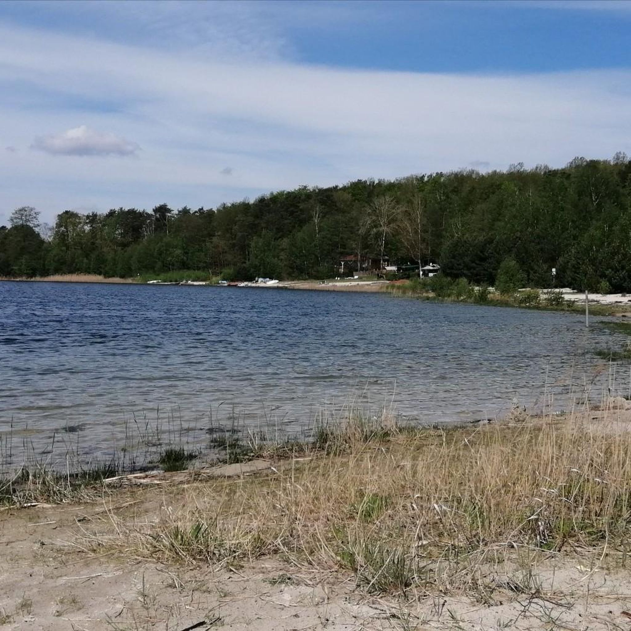
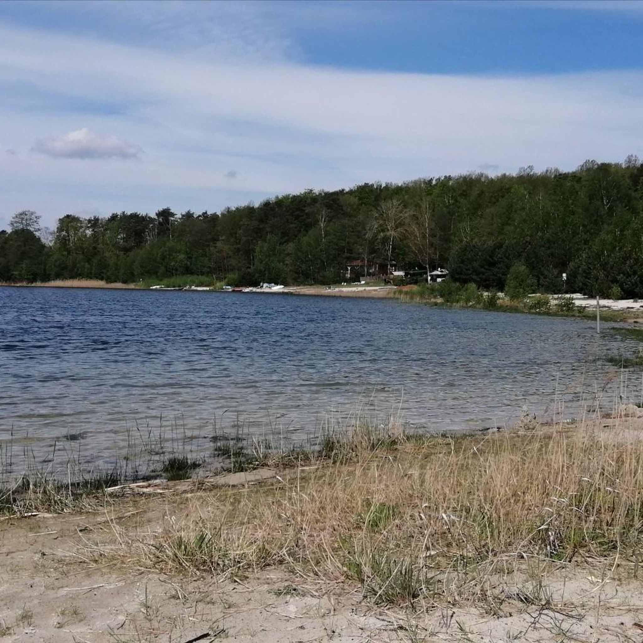
Anyone looking for a break with a panoramic view will find it at Neuendorf Pond. The view sweeps over an almost oversized expanse of water, where the light, weather, and mood are constantly changing. Sometimes the sky rises dramatically, sometimes the sun glitters with quiet regularity on the water – and somewhere on the horizon, the towers of Jänschwalde smoke. A place that combines nature and industry in one image without hiding itself. The riverside path is easy to cycle, the paths between meadow and forest alternate between asphalt, firm sand, and the occasional gravel. If you like, you can stop at one of the small embankments – there is no designated rest area, but enough space for a roll and a few minutes of rest. The pond is part of the old fishpond industry around Peitz, embedded in a complex network of canals and dams. Not a postcard idyll in the classic sense – but a place with character. Ideal for those looking for something not just "beautiful" but also "interesting." And for a quiet observation break while the swans glide over the water and the clouds of smoke rise towards the sky in the distance.
0
0
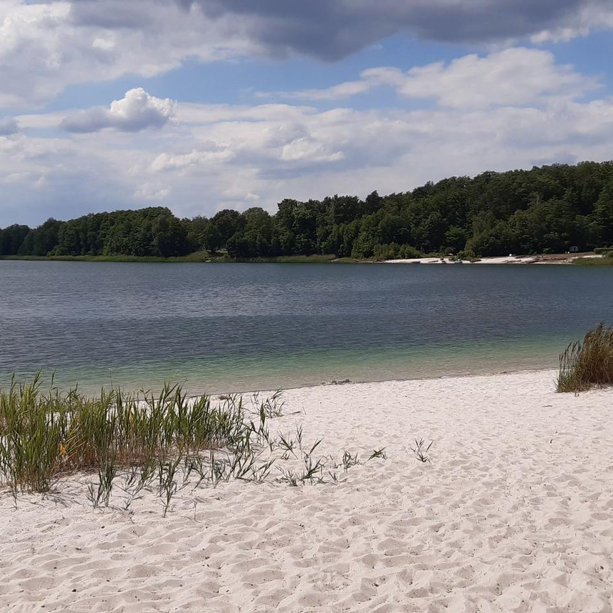
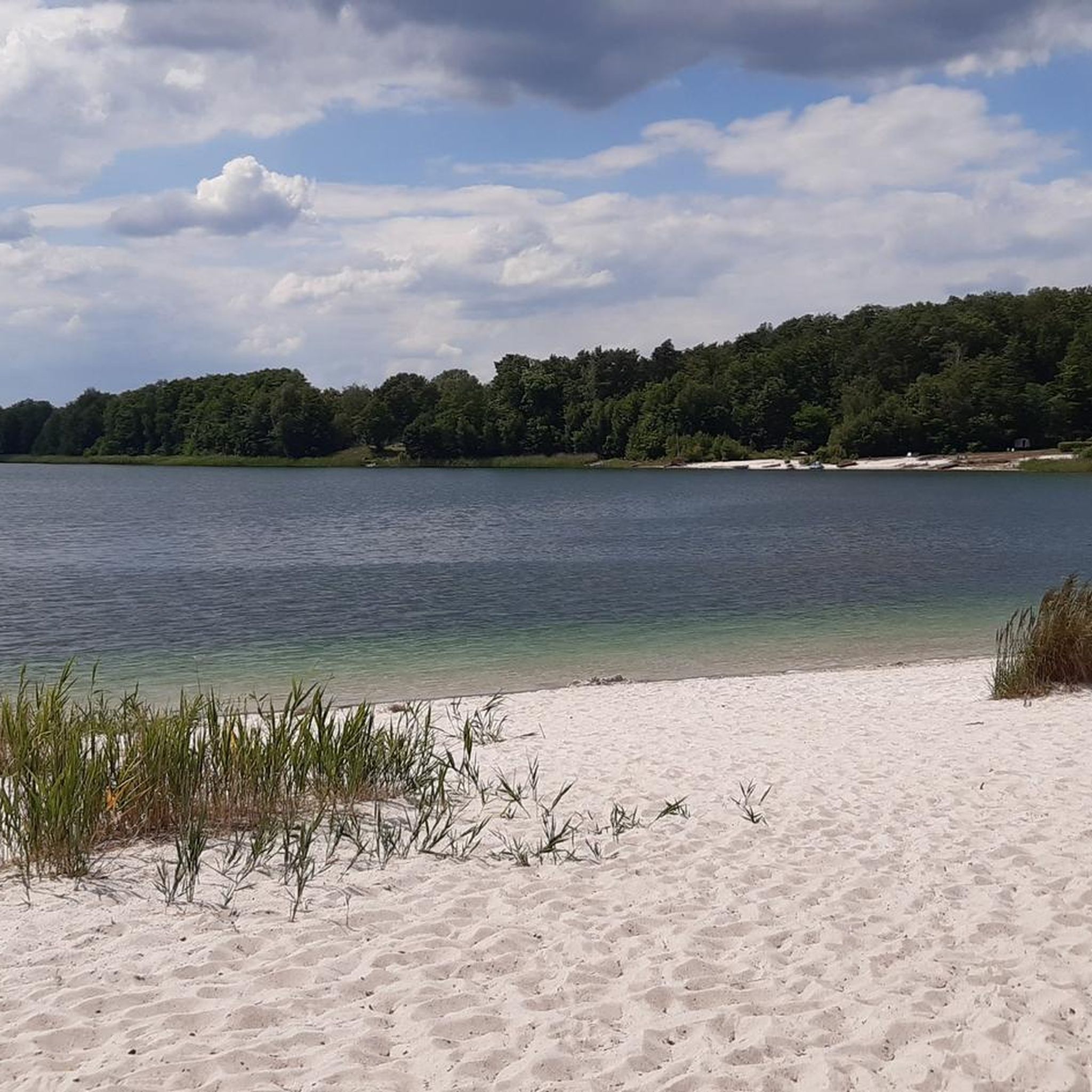
Anyone cycling along the cycle path should dismount here for a moment. The Mauster gravel pit is quietly situated, almost hidden among the trees – and surprises with its clear water and a small island in the middle. Access to the shore isn't always easy, but there are some spots where you can easily reach the water. Ideal for a quiet break, a photo, or a brief pause. In sunshine, the trees reflect off the surface, and in the evenings, dramatic lighting is often created here. Not an official bathing lake, but a place that exudes natural beauty – even if it is man-made.
0
0
Anyone traveling along the cycle path along the emerging Cottbus Baltic Sea should briefly dismount here: The West Viewpoint offers a view of what was – and what is to come. Originally used as an open-cast mining lookout point, the small wooden hut with its metal staircase still stands in place. These days, you no longer see excavators, but a growing lake. The viewpoint itself is simple, but offers a covered platform with an information sign and a good overview of the western shoreline. The surroundings are currently barren and more functional than idyllic – a lot will certainly happen here in the coming years. Access is possible directly from the cycle path, although there is no bike rack. Anyone interested in landscape change, structural policy, or simply marveling at grand dimensions will find their money's worth here. There are no seating options, but the detour is worth it for a quick breather or a photo.
1
0
Frequently Asked Questions
How many touring cycling routes are available in the Tauer region?
There are over 25 touring cycling routes around Tauer, offering a variety of options for different skill levels. The region's gently rolling terrain makes it particularly suitable for exploring its natural richness by bike.
Are there easy or family-friendly touring cycling routes in Tauer?
Yes, Tauer is well-suited for beginners and families, with 18 out of 26 routes classified as easy. These routes often traverse forests, heathlands, and meadows, providing a pleasant and accessible cycling experience. An example is the Neuendorfer Pond – Teichland Observation Tower loop from Tauer - Turjej, which is an easy 21.2-mile (34.2 km) trail.
What kind of landscapes can I expect to see while cycling in Tauer?
The Tauer region offers a diverse landscape characterized by dense forests, blooming heathlands, and wide fields. You'll also encounter numerous lakes and meadows, providing varied scenery throughout your ride. The terrain is generally gently rolling, making for enjoyable touring.
Are there any challenging touring cycling routes for experienced riders in Tauer?
While Tauer is known for its accessible terrain, there are routes that offer a bit more challenge. Out of the 26 available routes, 7 are rated as moderate and 1 as difficult, providing options for more experienced touring cyclists looking for longer distances or slightly more varied terrain.
What are some notable natural attractions or points of interest along the cycling routes?
The Tauer region is rich in natural beauty. You can cycle past the Peitz Pond Landscape with Hammergraben, visit the Neuendorfer Pond, or enjoy views from the Teichland Observation Tower. Many routes also follow scenic paths like the Spree Cycle Path or the Cycle Path Along the Hammergraben.
Are there any circular touring cycling routes in Tauer?
Yes, many of the touring cycling routes in Tauer are designed as loops, allowing you to start and end your journey in the same location. Examples include the Fire station in Tauer – West Viewpoint loop from Badestrand Am Großsee and the Teichland Observation Tower – View of the River Spree loop from Tauer - Turjej.
What do other touring cyclists say about the routes in Tauer?
The touring cycling routes in Tauer are highly rated by the komoot community, with an average score of 4.3 stars from over 80 reviews. Cyclists often praise the region's diverse landscapes, including its forests, heathlands, and numerous lakes, as well as the well-maintained paths suitable for touring.
Can I access Tauer's cycling routes using public transport?
The Tauer region is located near Cottbus, a larger city with public transport connections. While specific route access points may vary, it's often possible to reach starting points for cycling routes via regional buses or trains from nearby towns, allowing for car-free exploration.
Are there any places to eat or rest along the touring cycling routes?
While specific cafes are not listed for every route, the region's historical town centers, such as Lübbenau, Luckau, and Beeskow, often provide opportunities for refreshments. You might also find local eateries like the Maust Mill Restaurant & Mill along some routes.
What is the best time of year for touring cycling in Tauer?
The Tauer region, like much of Brandenburg, is generally best for touring cycling from spring through early autumn (April to October). During these months, the weather is typically mild, and the landscapes of forests, heathlands, and meadows are at their most vibrant. Always check local weather conditions before you go.
Are there any routes that pass by significant lakes?
Absolutely. The Tauer region is known for its numerous lakes. Routes often incorporate bodies of water such as the Neuendorfer Pond and the Garkoschkesee. The Kleinsee – Small Lake loop from Badestrand Am Großsee is a great option for lake views.
How long do the touring cycling routes in Tauer typically take to complete?
The duration of routes varies depending on their length and your pace. For example, an easy route like the Forest near Jänschwalde Ost – Pastlingsee loop from Drewitz - Drjejce, which is 13.2 miles (21.3 km), can be completed in about 2 hours 15 minutes. Longer routes, such as the 34.2-mile (55.1 km) Teichland Observation Tower – View of the River Spree loop from Tauer - Turjej, might take around 3 hours 15 minutes.
Most popular routes around Tauer
Most popular attractions around Tauer

Get inspired with the komoot mobile app


Explore more
Browse the best Cycling routes in other regions.
