The best road cycling routes around Carpaneto Piacentino
4.7
(34)
1,816
riders
45
rides
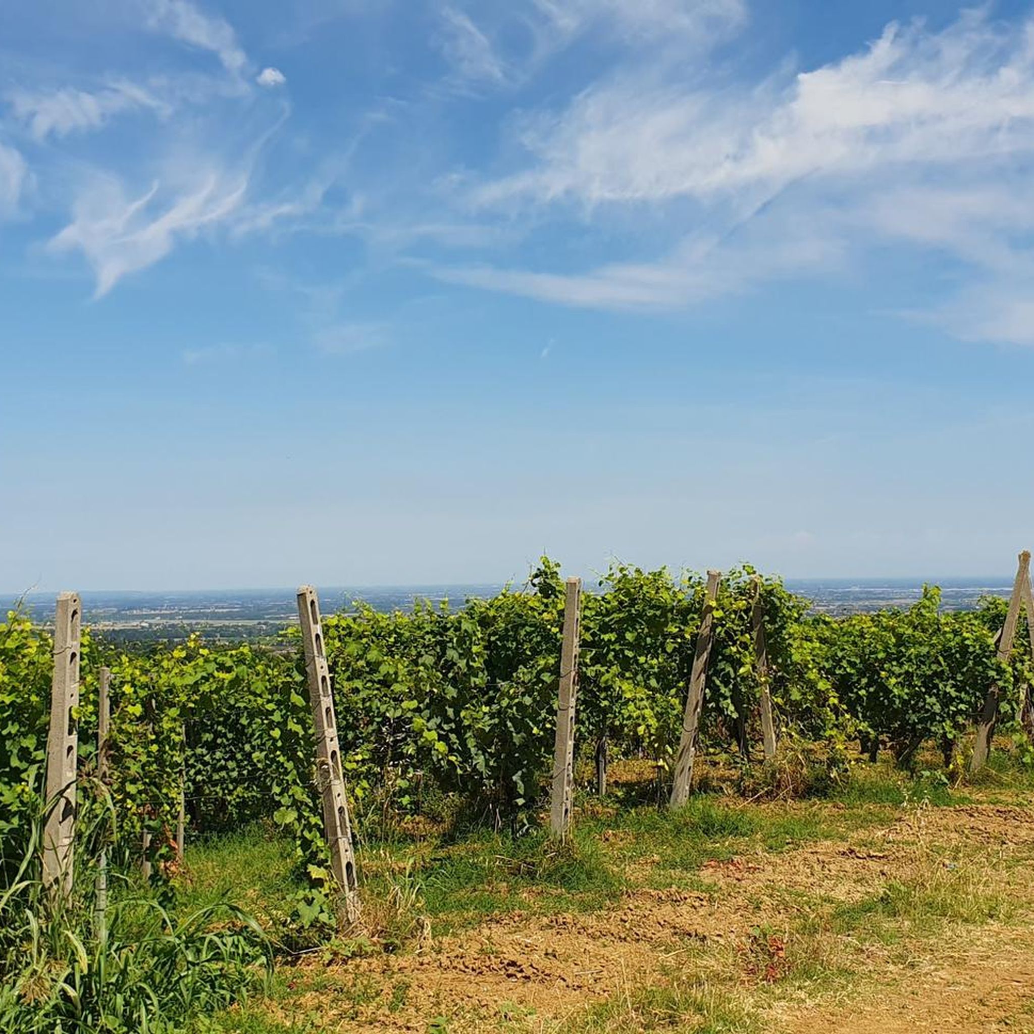
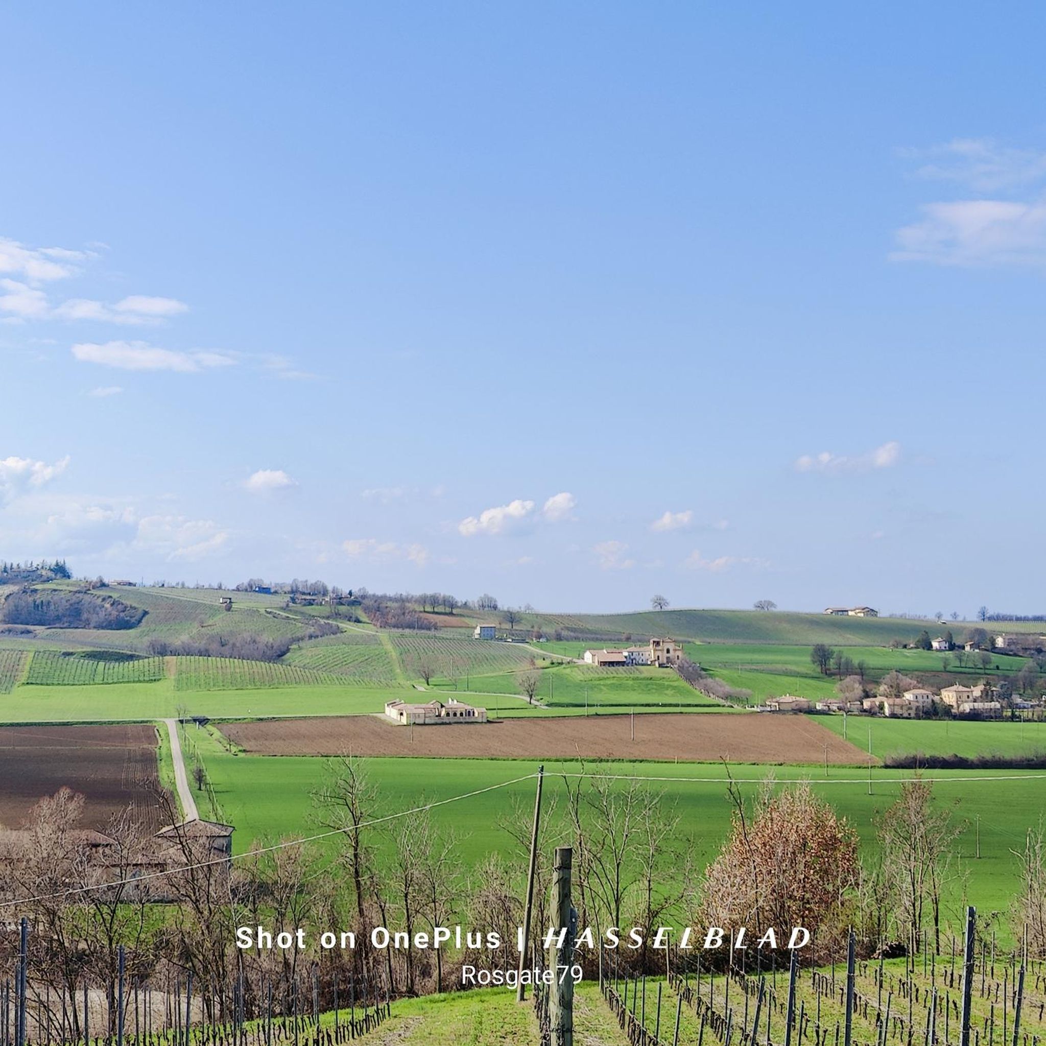
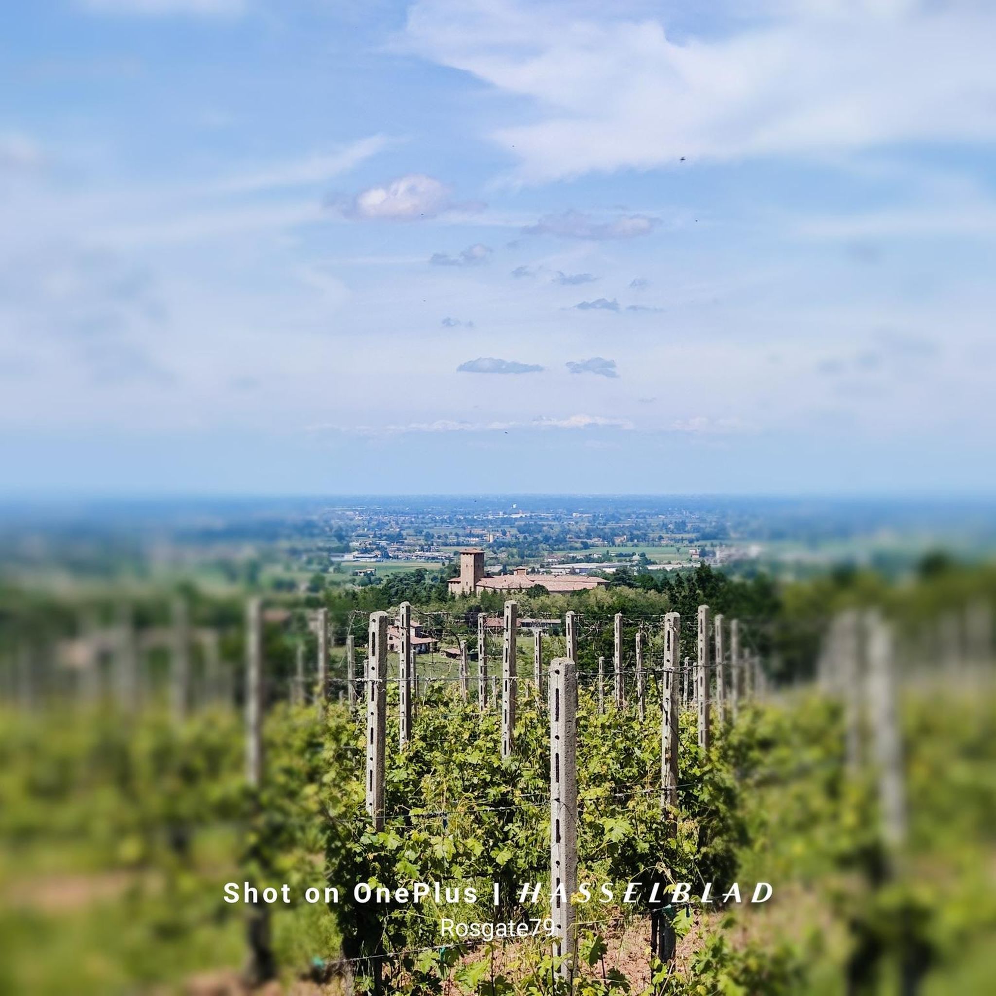
Road cycling routes around Carpaneto Piacentino traverse a diverse landscape, situated between the fertile Po plain and the initial slopes of the Piacenza hills in Emilia-Romagna, Italy. The region features varied topography, with elevations ranging from 73 meters in the north to 493 meters in the southern hilly areas. This terrain is characterized by rolling hills, lush vineyards, and extensive woods, shaped by the parallel courses of the Riglio, Vezzeno, Chero, and Chiavenna torrents.
Best road cycling routes around Carpaneto Piacentino
- The most popular road cycling route is Passo del Cerro and Travo Loop, a 55.0 miles (88.5 km) trail that takes 4 hours 7 minutes to complete. This route features significant elevation gain through the Piacenza hills.
- Another top favourite among local road cyclists is Gropparello Castle – Santuario di Lugagnano loop from Carpaneto Piacentino, a difficult 69.2 miles (111.4 km) path. This route offers challenging climbs and passes by historical landmarks.
- Local road cyclists also love the Scenic Countryside Ride – Gropparello Castle loop from Carpaneto Piacentino, a 43.4 miles (69.8 km) trail leading through rolling hills and vineyards, often completed in about 3 hours 28 minutes.
- Road cycling around Carpaneto Piacentino is defined by rolling hills, lush vineyards, and historical castles. The network offers options for various ability levels, from moderate rides to demanding itineraries with substantial elevation gains.
- The routes in Carpaneto Piacentino are highly rated by the komoot community with an average score of 4.6 stars from over 10 reviews. More than 1400 road cyclists have used komoot to explore Carpaneto Piacentino's varied terrain.
Last updated: July 7, 2026
5.0
(4)
196
riders
88.5km
04:07
990m
990m
This difficult 55-mile road cycling ring tour through the Piacenza region offers 3260 feet of climbing and scenic views.
5.0
(1)
339
riders
112km
05:45
1,840m
1,840m
Hard road ride. Very good fitness required. Some segments of this route may be unpaved and difficult to ride.

Sign up for free
5.0
(4)
200
riders
69.8km
03:28
1,110m
1,110m
Hard road ride. Very good fitness required. Mostly well-paved surfaces and easy to ride.
5.0
(3)
116
riders
70.4km
03:21
950m
950m
Hard road ride. Very good fitness required. Some segments of this route may be unpaved and difficult to ride.
5.0
(1)
100
riders
68.7km
03:21
790m
790m
Moderate road ride. Good fitness required. Mostly well-paved surfaces and easy to ride.
Get access to more routes and recommendations from other explorers.
Sign up for free
Already have an account?
Our route recommendations are based on thousands of hikes, rides, and runs completed by other people on komoot.
Start today with a free account
Your next adventure awaits.
Login or Signup

Tips from the Community

I saw it too and tried to photograph it, it's not sharp because the zoom is from the smartphone, but it's really beautiful to see 🚴😊🥰
1
0

A wonderful stop. Both the church and the baptistery were open, and we were able to enter for a visit. It's worth a detour if you're in the area.
2
0

I recommend stopping at Barrio Cafè (https://www.instagram.com/barriotravo/) for a sweet or savory snack.
0
0

The road is passable with one-way traffic regulated by traffic lights.
0
0
Prato Barbieri (Bettola) is, in fact, the place that acts as a watershed between Val Nure and Val D'Arda. Its strategic position, in fact, can be reached from 3 different sides: Bettola, Gropparello and Morfasso, makes it a very popular destination for cycling enthusiasts and motorcyclists.
0
0

Suggestive place easily reachable
0
0

Central hub of the Piacenza mid-mountain, between the Nure and Arda valleys. From Prato Barbieri you can go down to Bettola, Morfasso and Gropparello. You can then go up to Passo Santa Franca, and from there reach Farini passing through Groppallo. Beautiful views guaranteed.
0
0

Frequently Asked Questions
What kind of terrain can I expect when road cycling around Carpaneto Piacentino?
The region offers a diverse landscape, transitioning from the flat Po plain in the north to the rolling Piacenza hills in the south. Elevations range from 73 meters to 493 meters, providing varied topography with lush vineyards, extensive woods, and scenic views. Most routes feature paved roads suitable for road cycling.
Are there road cycling routes suitable for beginners or those looking for an easier ride?
Yes, while the area is known for challenging climbs, there are options for all skill levels. Out of 49 road cycling routes, 4 are classified as easy, and 30 are moderate, offering less demanding rides through the scenic countryside.
What are some notable landmarks or attractions I can see along the road cycling routes?
Carpaneto Piacentino is rich in historical structures. You can cycle past numerous castles and villas, such as the impressive Gropparello Castle, or the Visconti Fortress of Castell'Arquato. The Mignano Dam is another significant point of interest you might encounter on routes like the Santuario di Lugagnano – Mignano Dam loop from Carpaneto Piacentino.
Are there any long-distance or challenging road cycling routes for experienced riders?
Absolutely. Carpaneto Piacentino is a hub for demanding rides. You can find routes with substantial elevation gains, including a 136.6 km Granfondo route with over 4,000 meters of ascent. For a challenging experience, consider the Santuario di Lugagnano – Mignano Dam loop from Carpaneto Piacentino, which covers 86.7 km with 1289 meters of climbing.
What is the best time of year for road cycling in Carpaneto Piacentino?
February is noted as a popular month for cyclists in the region, suggesting that early spring offers pleasant conditions. Generally, spring and autumn provide ideal temperatures for road cycling, allowing you to enjoy the varied landscapes without extreme heat or cold.
Are there any circular road cycling routes available?
Yes, many routes in the area are designed as loops, allowing you to start and finish in the same location. An example is the moderate Rocca di San Damiano – Scenic Countryside Ride loop from Carpaneto Piacentino, which covers 68.6 km and offers beautiful views.
What do other road cyclists say about the routes in Carpaneto Piacentino?
The road cycling routes around Carpaneto Piacentino are highly rated by the komoot community, with an average score of 4.6 stars from over 19 reviews. Cyclists often praise the diverse terrain, from rolling hills and vineyards to historical landmarks, and the well-maintained paved roads.
Can I find routes that pass through specific valleys or natural areas?
Yes, the region is shaped by several parallel torrents like the Riglio, Vezzeno, Chero, and Chiavenna, and routes often follow these natural features. The 'CYCLING IN ARDA VALLEY – PATH N°7' is a well-known path that winds through several towns and offers a medium difficulty experience through the Arda Valley.
Are there any routes that offer views of geological features?
Part of Carpaneto Piacentino, particularly near Badagnano and along the Carbonaro stream, falls within the Riserva Naturale Geologica del Piacenziano (Geological Nature Reserve of Piacenza). While specific cycling routes through the reserve aren't detailed, the area's diverse topography means you'll encounter varied geological formations throughout your rides.
Are there options for family-friendly road cycling routes?
While many routes feature significant elevation, there are 4 easy routes and 30 moderate routes available, which could be suitable for families depending on their cycling experience. These routes typically have less challenging climbs and cover shorter distances, allowing for a more relaxed pace.
What is the total number of road cycling routes available in the Carpaneto Piacentino area?
There are approximately 49 road cycling routes available around Carpaneto Piacentino on komoot, catering to a wide range of abilities and preferences.
Where can I find more information about the Carpaneto Piacentino region itself?
For more general information about Carpaneto Piacentino and its attractions, you can visit the official tourism website: visitpiacenza.it.
Most popular routes around Carpaneto Piacentino
Most popular attractions around Carpaneto Piacentino

Get inspired with the komoot mobile app


Explore more
Browse the best Road cycling routes in other regions.
