The best walks and hikes around Lugagnano Val D'Arda
4.5
(438)
1,794
hikers
28
hikes
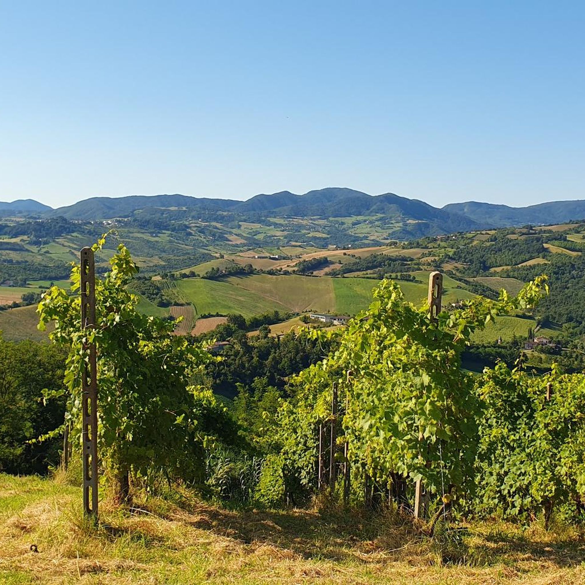
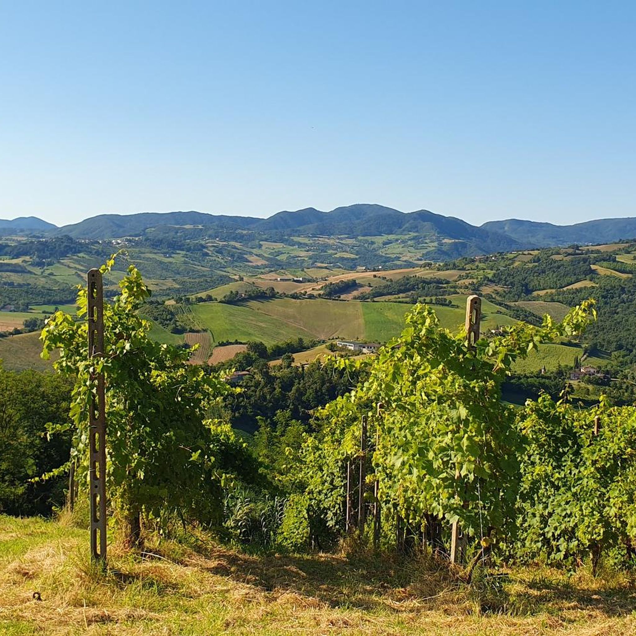
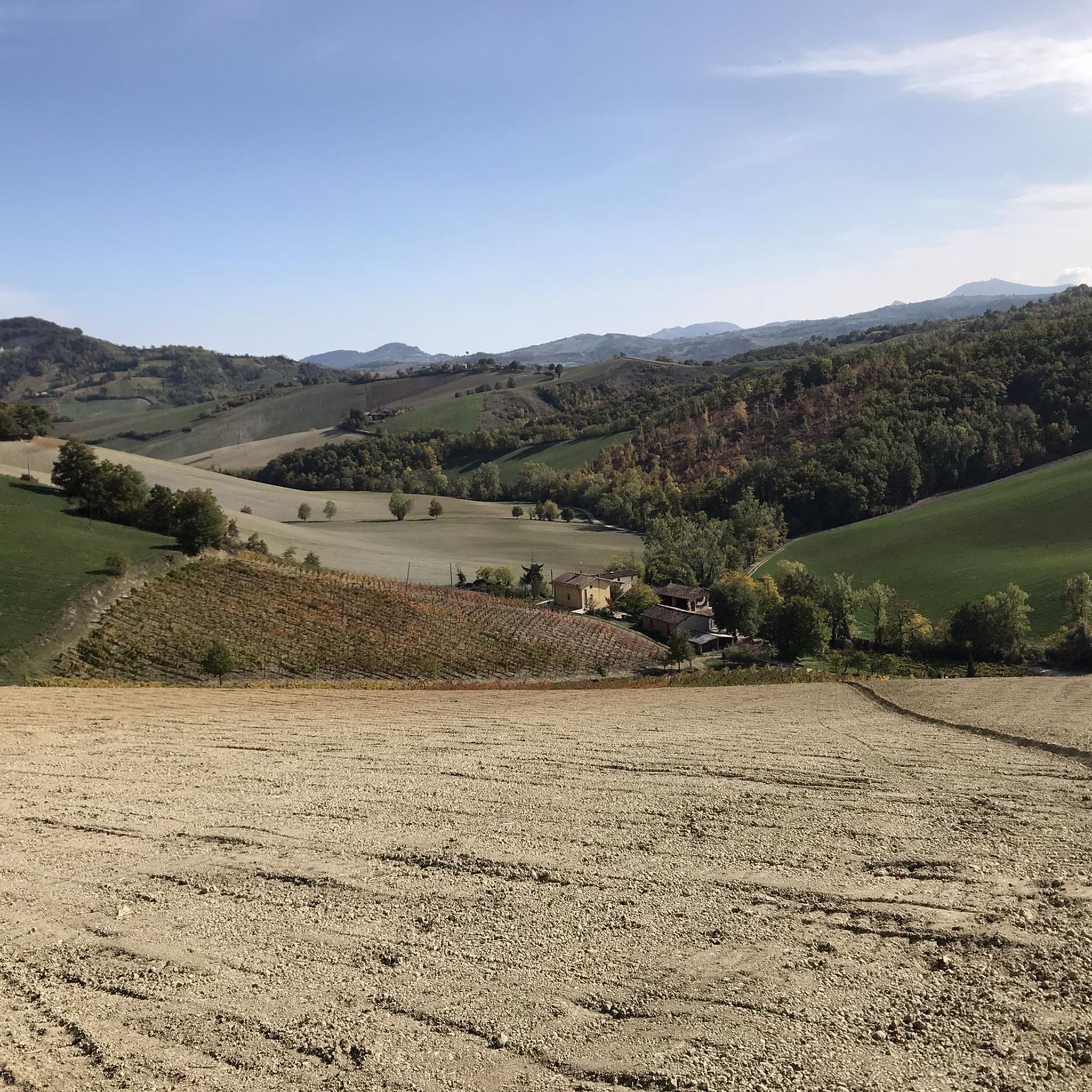
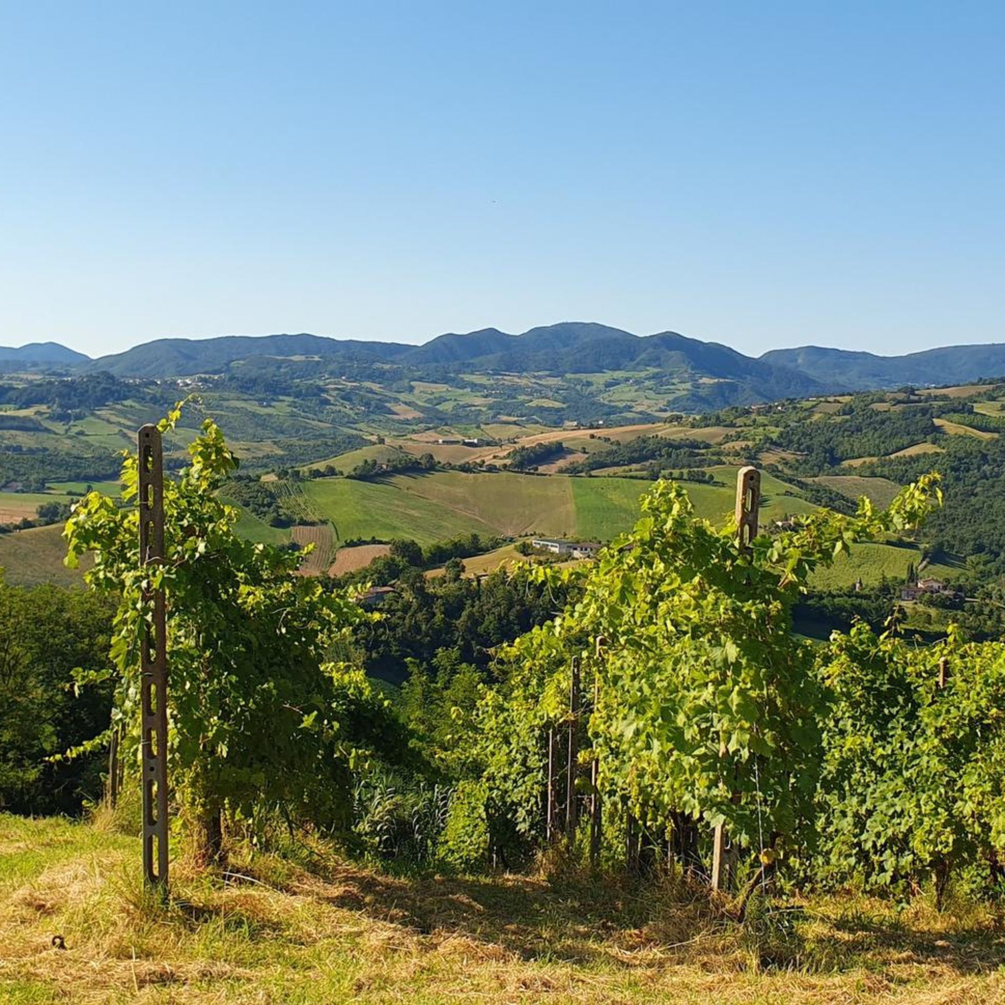
Hiking around Lugagnano Val D'Arda offers diverse landscapes, transitioning from the northern Apennines to gentle hills. The region is characterized by unique geological formations, including calanchi from the Piacenzian period, and elevations ranging from 150 to 926 meters. Trails often traverse a mix of vineyards, open fields, and woodlands, providing varied terrain for outdoor activities. This area combines natural features with historical sites, such as ancient Roman ruins and medieval villages.
Best hiking trails around Lugagnano Val D'Arda
- The most popular hiking route is Veleia and Parco Moria Loop, a 7.4 miles (11.9 km) trail that takes 3 hours 49 minutes to complete, passing through varied terrain near the Veleia Romana archaeological site.
- Another top favourite among local hikers is Veleia and Moria Park Loop, a moderate 5.3 miles (8.6 km) path. This route offers views of the natural park and historical elements.
- Local hikers also love the Mount Giogo Cross loop from Chiavenna Rocchetta, a 4.9 miles (7.9 km) trail leading through the distinctive calanchi formations, often completed in about 2 hours 24 minutes.
- Hiking around Lugagnano Val D'Arda is defined by ancient geological formations, rolling hills, and a mix of cultivated fields and dense woodlands. The network offers options for different ability levels, from easy walks to more challenging routes.
- The routes in Lugagnano Val D'Arda are highly rated by the komoot community with an average score of 4.5 stars from over 350 reviews. More than 1600 hikers have used komoot to explore Lugagnano Val D'Arda's varied terrain.
Last updated: August 30, 2026
4.0
(2)
14
hikers
11.9km
03:49
520m
510m
Hike the moderate 7.4-mile Veleia and Parco Moria Loop through dense forests, ancient Roman ruins, and scenic viewpoints in Emilia-Romagna.
4.0
(1)
6
hikers
8.57km
02:54
450m
450m
Hike the moderate 5.3-mile Veleia and Moria Park Loop in Italy's Piacenza hills, gaining 1486 feet over 2 hours and 53 minutes.

Sign up for free
4.4
(18)
142
hikers
7.95km
02:24
250m
250m
Moderate hike. Good fitness required. Easily-accessible paths. Suitable for all skill levels.
4.4
(7)
24
hikers
11.1km
03:30
460m
460m
Moderate hike. Good fitness required. Easily-accessible paths. Suitable for all skill levels.
3.5
(2)
5
hikers
5.14km
01:41
220m
220m
Easy hike. Great for any fitness level. Easily-accessible paths. Suitable for all skill levels.
Get access to more routes and recommendations from other explorers.
Sign up for free
Already have an account?
Our route recommendations are based on thousands of hikes, rides, and runs completed by other people on komoot.
Start today with a free account
Your next adventure awaits.
Login or Signup

Tips from the Community

1. The Contrast Between Authority and Irony Traffic signs are inherently authoritarian and cold. Placing a familiar, domestic silhouette like a black cat within a frame usually reserved for severe hazards (like falling rocks) creates a visual short circuit. This unexpected irony grabs attention far more effectively than a standard warning. 2. Subverting Superstition The black cat is a universal symbol of superstition. This sign performs a clever cultural reversal: It suggests the cat isn't a source of "bad luck" for the driver. Instead, the driver is the potential danger to the cat. By flipping the narrative, it replaces an old prejudice with a modern message of animal welfare and civic duty. 3. Visual Impact and Design The black cat's silhouette is perfectly suited for signage due to its high legibility: The stark black shape is clean and instantly recognizable. It pops against the white background and red border, adhering to professional design standards while remaining cha
0
0

Benches, tables, and fresh air for a comfortable break
0
0


Little maintained path, partially overgrown by vegetation and with two fallen trees that must be bypassed
1
0

Availability, typical cuisine of good quality, typical wines of the area of own production, prices in the norm
0
0
evening march at the end of July
1
0
Frequently Asked Questions
What kind of terrain and landscapes can I expect while hiking in Lugagnano Val D'Arda?
Lugagnano Val D'Arda offers a diverse landscape, transitioning from the northern Apennines to gentle hills. You'll encounter unique geological formations, including the distinctive 'calanchi' (badlands) from the Piacenzian period, particularly around Monte Giogo. Trails often traverse a scenic mix of vineyards, open fields, and lush woodlands, with elevations ranging from 150 to 926 meters above sea level. You might also spot local wildlife like roe deer and hares.
How many hiking trails are available in Lugagnano Val D'Arda?
There are over 20 hiking trails in Lugagnano Val D'Arda, catering to various fitness levels. These include easy walks, moderate routes, and some more challenging options.
Are there any easy hiking trails suitable for beginners or families?
Yes, Lugagnano Val D'Arda has several easy trails. For example, the Mount Giogo Cross – Attention Micio Mao loop from Lugagnano Val d'Arda is an easy 5.1 km route that takes about 2 hours to complete, offering a pleasant experience for those looking for a less strenuous walk.
What historical sites or cultural attractions can I visit along the hiking routes?
Many hiking routes in Lugagnano Val D'Arda incorporate significant historical and cultural sites. You can explore the ancient Roman archaeological site of Veleia Romana, often called the 'Pompeii of the North.' Additionally, trails often pass through charming medieval villages like Vigoleno, which features a well-preserved castle, or near the Visconti Fortress of Castell'Arquato. Some routes even lead to unique spots like the ghost town of Marazzini.
Are there any waterfalls or natural monuments to see?
Yes, the region features several natural points of interest. You can find the Riglio Waterfalls, which are a notable natural attraction. The area is also known for its unique geological formations, such as the Calanchi of Piacenza, and other natural monuments like the Devil Piplon Rock.
What do other hikers enjoy most about hiking in Lugagnano Val D'Arda?
The hiking trails in Lugagnano Val D'Arda are highly rated by the komoot community, with an average score of 4.5 stars from over 350 reviews. Hikers often praise the diverse scenery, which includes ancient geological formations, rolling hills, and a mix of cultivated fields and dense woodlands, as well as the opportunity to combine nature with historical exploration.
Are there any circular hiking routes in the area?
Yes, many of the trails in Lugagnano Val D'Arda are circular routes, allowing you to start and end at the same point. Examples include the Veleia and Parco Moria Loop, a moderate 11.9 km trail, or the Mount Giogo Cross loop from Chiavenna Rocchetta, a 7.9 km moderate route through distinctive calanchi formations.
What is the best time of year to go hiking in Lugagnano Val D'Arda?
Lugagnano Val D'Arda offers pleasant hiking conditions for much of the year. Spring and autumn are particularly ideal, with mild temperatures and vibrant natural colors. Summer can also be enjoyable, especially in the mornings or late afternoons, though some trails might be more exposed to the sun. Winter hiking is possible, but it's advisable to check local conditions, especially at higher elevations.
Are there places to eat or rest along the trails?
Yes, the region is known for its 'welcoming refuges' located along various hiking routes. These offer hikers a place to rest, enjoy local dishes, or simply relax with a drink while admiring the views. Some even provide overnight stays, allowing for multi-day excursions.
Is public transport available to reach trailheads in Lugagnano Val D'Arda?
While specific public transport options directly to every trailhead might be limited, Lugagnano Val D'Arda is generally accessible. It's recommended to check local bus schedules or consider driving to the main villages or starting points, as many routes begin near accessible areas.
Where can I find parking for hiking trails in Lugagnano Val D'Arda?
Parking is typically available in or near the villages and towns that serve as starting points for many trails, such as Lugagnano Val D'Arda itself, Chiavenna Rocchetta, or Veleia Romana. Look for designated parking areas in these locations before beginning your hike.
Can I bring my dog on the hiking trails?
Generally, dogs are welcome on many hiking trails in Lugagnano Val D'Arda, especially in natural areas. However, it's always best to keep them on a leash, particularly when passing through agricultural areas, near livestock, or in protected natural reserves. Please ensure you clean up after your pet to maintain the natural environment for everyone.
Most popular routes around Lugagnano Val D'Arda
Most popular attractions around Lugagnano Val D'Arda

Get inspired with the komoot mobile app


Explore more
Browse the best Hikes in other regions.
