The best walks and hikes around Tannhausen
4.5
(1311)
6,804
hikers
520
hikes
Hiking around Tannhausen offers exploration within the picturesque hills and forests of the Swabian Jura, a region recognized for its geological significance. The landscape features diverse karst formations, remnants of ancient volcanism, and varied terrain. Hikers can find routes through forests, open fields, and along historical paths, providing a range of experiences.
Best hiking trails around Tannhausen
- The most popular hiking route is Wide view near Westhausen – View of the Countryside loop from Tannhausen, a 5.2 miles (8.3…
Last updated: May 13, 2026
5.0
(1)
15
hikers
8.26km
02:10
70m
70m
Moderate hike. Good fitness required. Easily-accessible paths. Suitable for all skill levels.
5.0
(3)
11
hikers
10.1km
02:42
100m
100m
Moderate hike. Good fitness required. Mostly accessible paths. Sure-footedness required.

Sign up for free
5.0
(2)
8
hikers
8.76km
02:18
70m
70m
Moderate hike. Good fitness required. Easily-accessible paths. Suitable for all skill levels.
5.0
(1)
5
hikers
14.2km
03:42
100m
100m
Moderate hike. Good fitness required. Easily-accessible paths. Suitable for all skill levels.
5.0
(1)
6
hikers
Moderate hike. Good fitness required. Easily-accessible paths. Suitable for all skill levels.
Get access to more routes and recommendations from other explorers.
Sign up for free
Already have an account?
Our route recommendations are based on thousands of hikes, rides, and runs completed by other people on komoot.
Start today with a free account
Your next adventure awaits.
Login or Signup
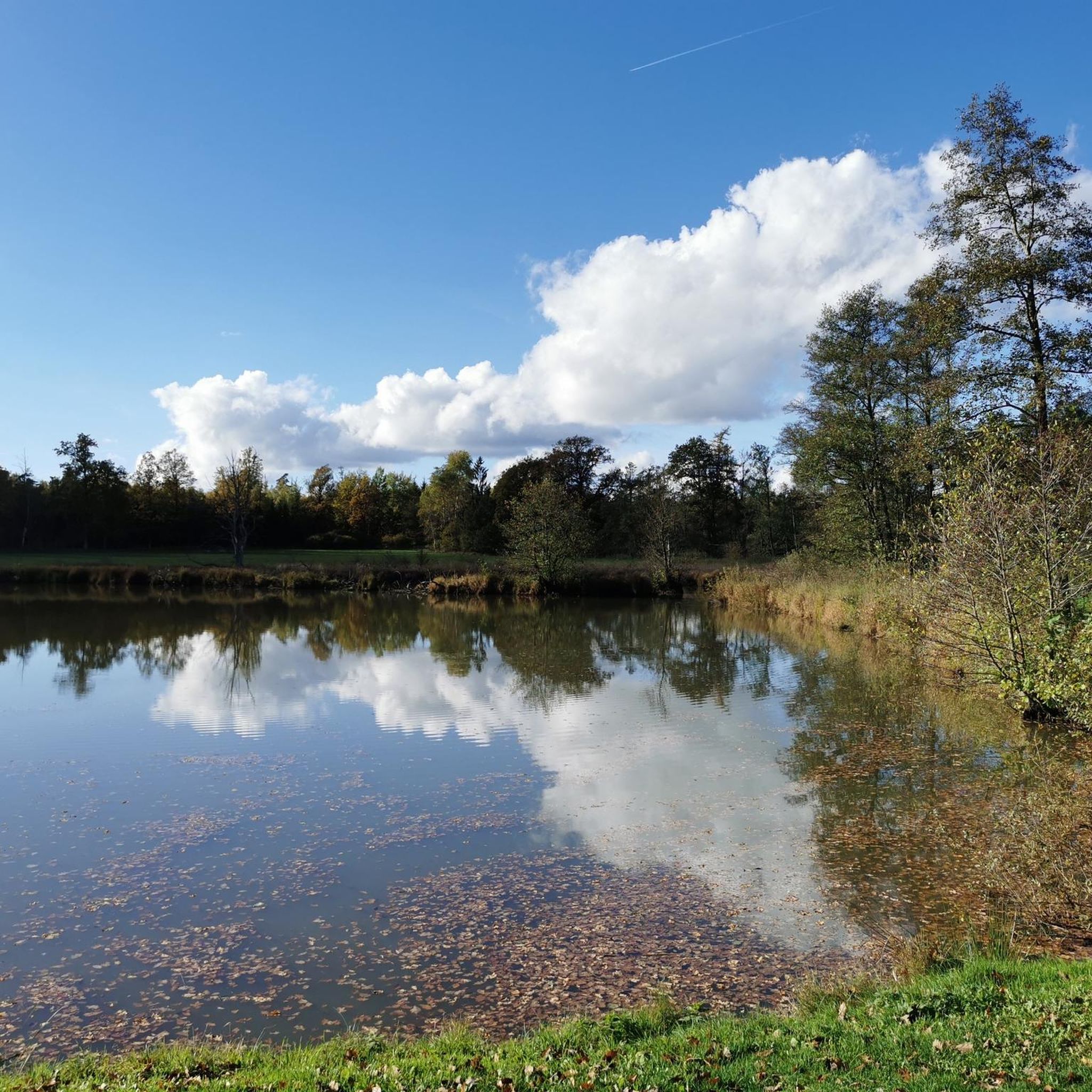
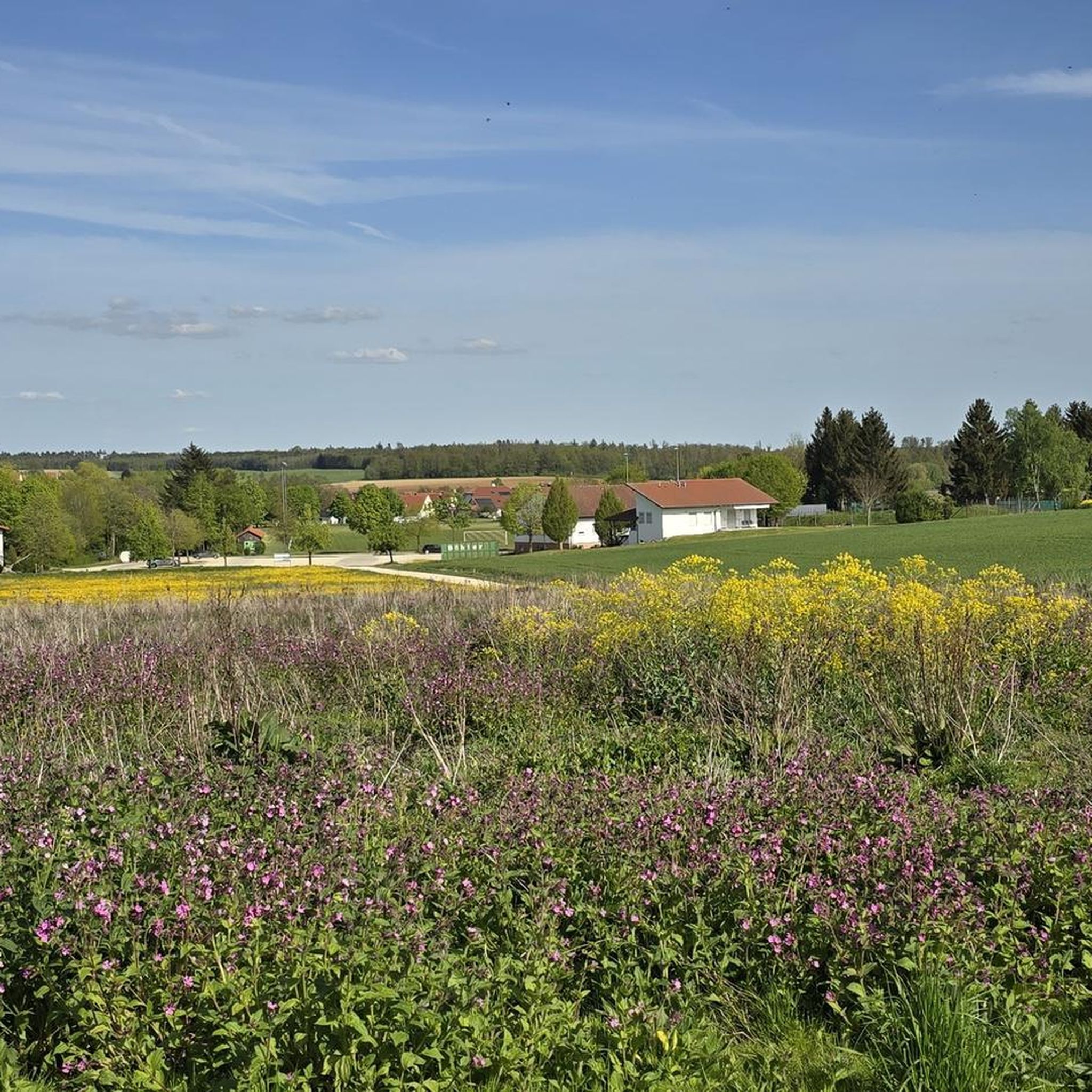
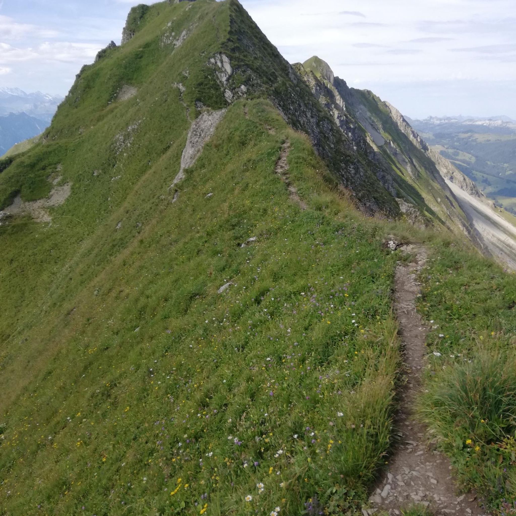
Tips from the Community

Opening Hours: Thurs - Sun 4:00 PM - 11:00 PM We caught a day where everything was different: Hiking Day in Stödtlen... On the third Sunday in May. For dinner, we had a "Rhenish spit roast" with salad. It was delicious. After the meal, each hiking group received a 1-liter bottle of schnapps (Himbi or Willi). Even though we didn't finish it there, we were still allowed to keep it and take it home with us...
0
0
How thin and fragile the animals seem without their fur...
0
0
...with a view of the Stödtlen
0
0

Nice place to find peace and quiet, ideal for a little after-work get-together.
0
0

Nice place for a short stop, a small picnic.
1
0
Nice view of Tannhausen all the way to Dinkelsbühl
1
0

The castle / small castle Dambach originally came from an owner of the "Schaumburg-Lippe" family (according to information from local people).
1
0

Frequently Asked Questions
How many hiking trails are available around Tannhausen?
Tannhausen offers a wide variety of hiking opportunities, with over 520 routes recorded on komoot. These range from easy strolls to more challenging excursions, ensuring there's something for every hiker.
What kind of terrain can I expect when hiking in Tannhausen?
The region around Tannhausen, particularly in the Ostalbkreis district, is characterized by the picturesque hills and forests of the Swabian Jura. This area is known for its diverse karst formations, remnants of ancient volcanism, and varied landscapes that include open fields, dense woodlands, and rolling hills. If you're in the Günzburg district, you'll find similar rolling hills, dense forests, and the scenic Mindel River.
What is the general difficulty level of hikes in Tannhausen?
The hiking trails in Tannhausen cater to a broad range of abilities. You'll find over 300 easy routes, more than 210 moderate trails, and a few more challenging options. This variety ensures that both casual walkers and experienced hikers can find suitable paths.
Are there any circular hiking routes in Tannhausen?
Yes, many of the trails around Tannhausen are designed as circular routes, allowing you to start and end at the same point. For example, the Wide view near Westhausen – View of the Countryside loop from Tannhausen offers expansive views, and the View of Mönchsroth loop from Tannhausen leads through open fields and wooded sections.
What makes the hiking experience in Tannhausen unique?
Tannhausen's uniqueness stems from its location within the Swabian Jura, a UNESCO Global Geopark. This region is celebrated for its geological significance, including fossil-rich deposits, numerous natural caves, and diverse karst formations. Additionally, parts of the historic Limes hiking trail, marking the former Roman Empire border, run through the area, blending natural beauty with historical importance.
Are there family-friendly hiking options in Tannhausen?
Yes, with over 300 easy routes, Tannhausen offers many paths suitable for families. These trails often feature gentle gradients and lead through pleasant forests and open countryside, perfect for walks with children. Look for shorter, well-maintained loops that allow for easy access and enjoyable outings.
Can I bring my dog on hikes in Tannhausen?
Most hiking trails in Tannhausen are dog-friendly, allowing you to enjoy the natural beauty with your canine companion. It's always a good idea to keep your dog on a leash, especially in areas with wildlife or near agricultural land, and to carry waste bags. Always check local signage for any specific restrictions.
What are some interesting landmarks or attractions I can see near the hiking trails?
While hiking, you can explore several interesting points. The historic town of Dinkelsbühl Old Town is a notable nearby attraction. You might also encounter historical structures like the Nördlinger Gate or the Wörnitz Gate. For natural beauty, consider visiting the Rothenburger Weiher lake or the Wörnitz bridge near Ruffenhofen.
Where can I find scenic viewpoints or natural features on the trails?
Many trails offer scenic vistas. The Swabian Jura region is known for its diverse karst formations and geological features. Routes like the Wide view near Westhausen – View of the Countryside loop from Tannhausen are specifically named for their expansive views, sometimes extending to the Hesselberg. You can also find picturesque ponds, such as those along the Gaugenweiher – Scenic Ponds and Wetlands loop from Dambach, or follow pathways along the forest edge like the Chain of Idyllic Ponds – Pathway Along the Forest Edge loop from Tannhausen.
Are there any huts or shelters along the hiking routes for a break?
Yes, you can find several spots for a break or shelter. Highlights include Heidi's Hut by the Lake, a Forest cabin with fountain and shelter, and the Ihnberg barbecue area and shelter. These provide convenient resting points during your hike.
What do other hikers enjoy the most about hiking in Tannhausen?
The hiking trails in Tannhausen are highly rated by the komoot community, with an average score of 4.5 stars from over 1300 reviews. Hikers frequently praise the diverse landscapes, from open fields with wide views to tranquil forest paths, and the well-maintained routes that offer a pleasant experience for all skill levels.
Most popular attractions around Tannhausen

Get inspired with the komoot mobile app


Explore more
Browse the best Hikes in other regions.
