The best road cycling routes around Tägerig
4.4
(740)
12,663
riders
321
rides
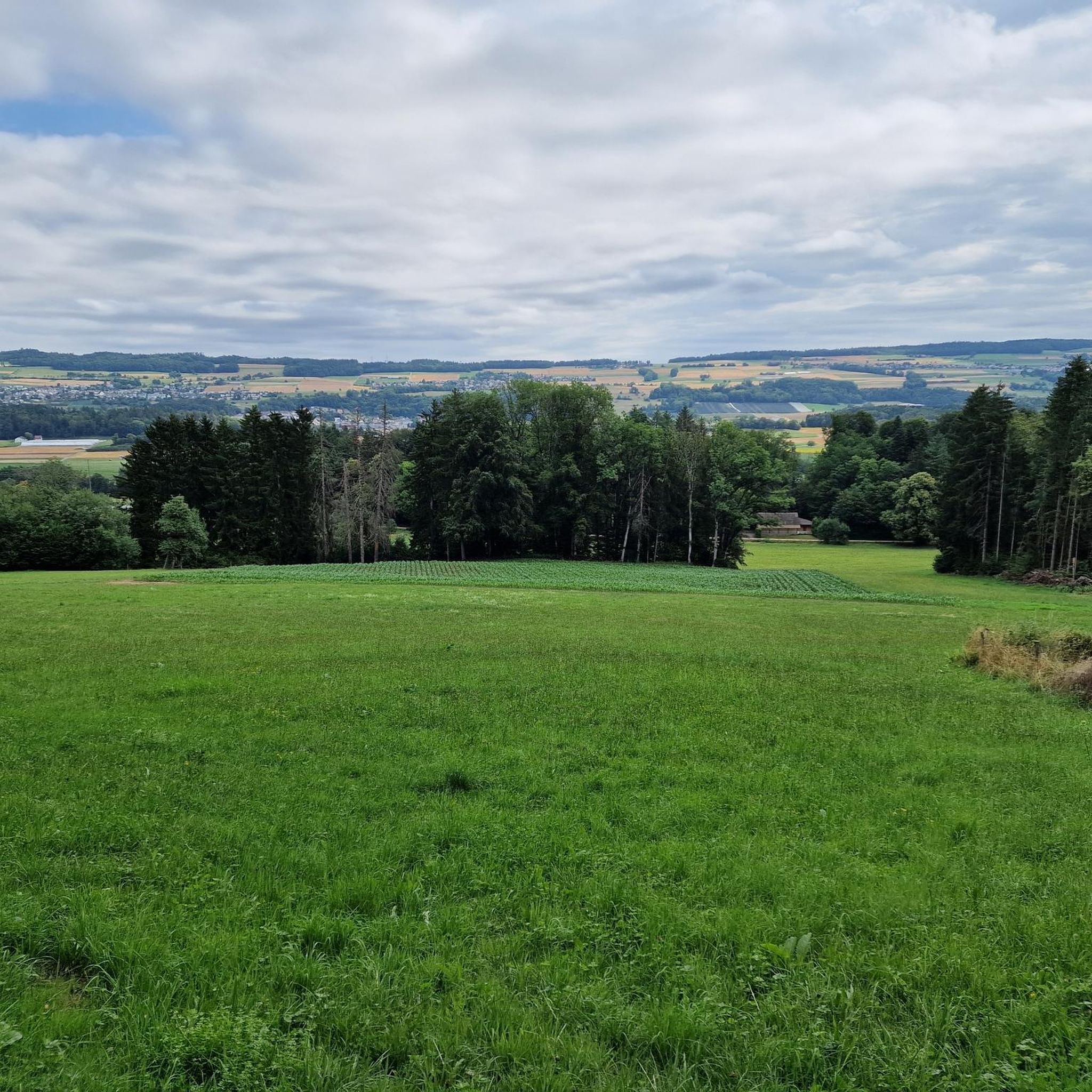
Road cycling routes around Tägerig traverse a landscape characterized by the Aare river valley, rolling hills, and historical towns. The region features varied terrain, from flatter sections along waterways to more challenging ascents through elevated areas like Heitersberg. Cyclists encounter a mix of open countryside, forested stretches, and views of local landmarks such as the Wasserschloss and Flachsee. The elevation gains on routes indicate a diverse topography suitable for different cycling preferences.
Best road cycling routes around Tägerig
- The most…
Last updated: October 7, 2026
4.5
(10)
209
riders
Moderate road ride. Good fitness required. Mostly well-paved surfaces and easy to ride.
3.0
(2)
92
riders
70.2km
03:24
930m
930m
Hard road ride. Very good fitness required. Some segments of this route may be unpaved and difficult to ride.

5.0
(2)
129
riders
Moderate road ride. Good fitness required. Mostly well-paved surfaces and easy to ride.
3.6
(9)
71
riders
28.2km
01:22
280m
280m
Easy road ride. Great for any fitness level. Mostly well-paved surfaces and easy to ride.
4.5
(4)
58
riders
Moderate road ride. Good fitness required. Some segments of this route may be unpaved and difficult to ride.
Get access to more routes and recommendations from other explorers.
Already have an account?
Our route recommendations are based on thousands of hikes, rides, and runs completed by other people on komoot.
Start today with a free account
Your next adventure awaits.
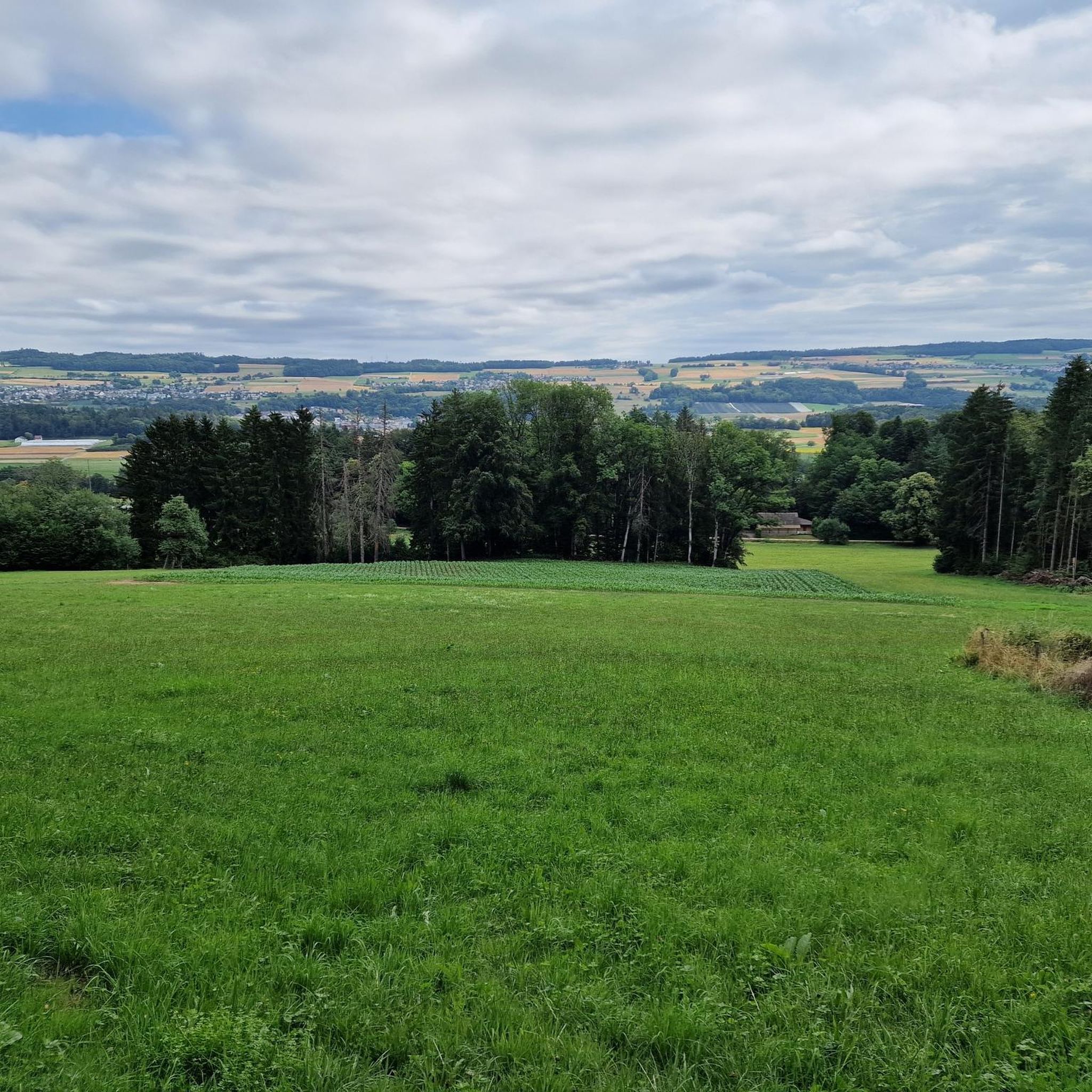
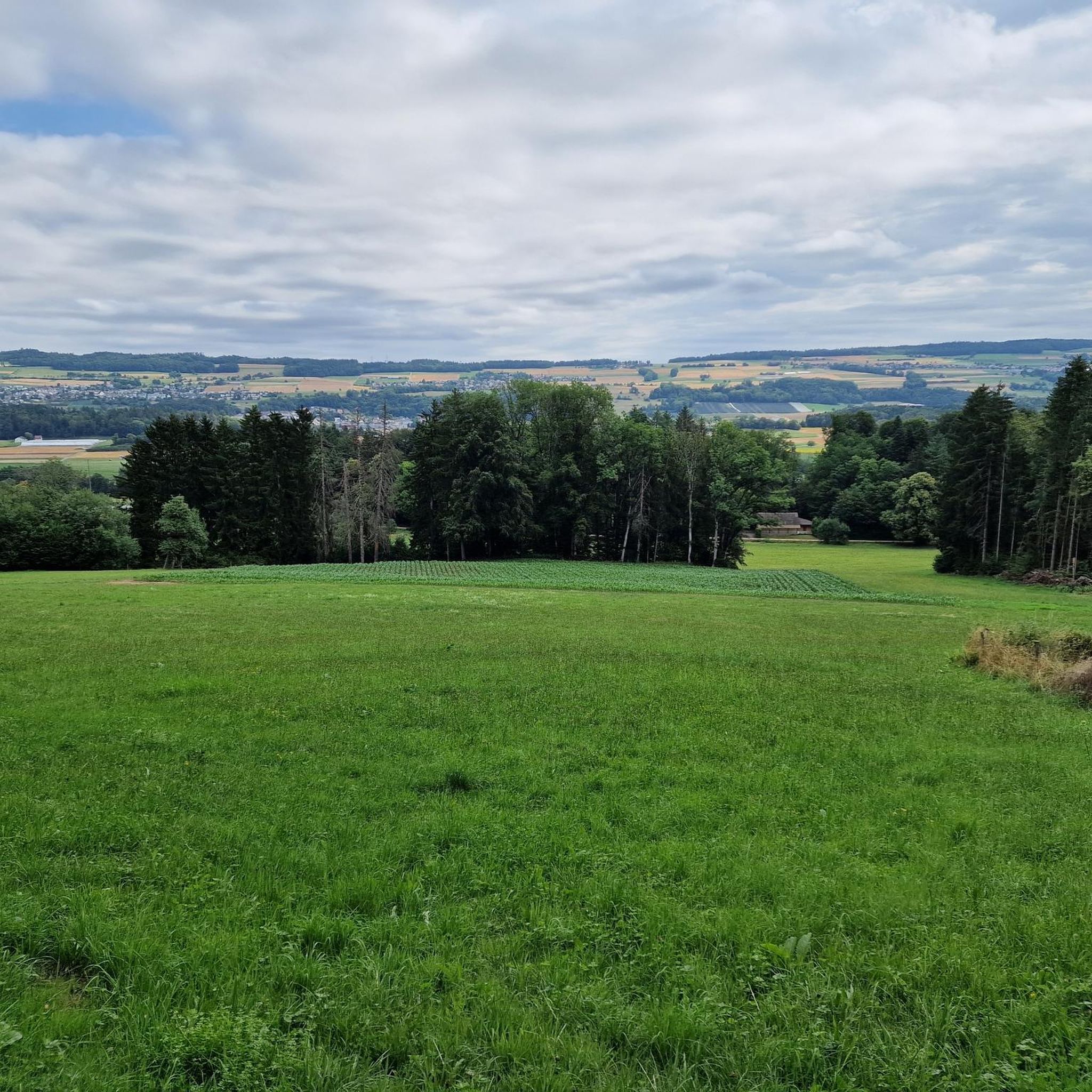
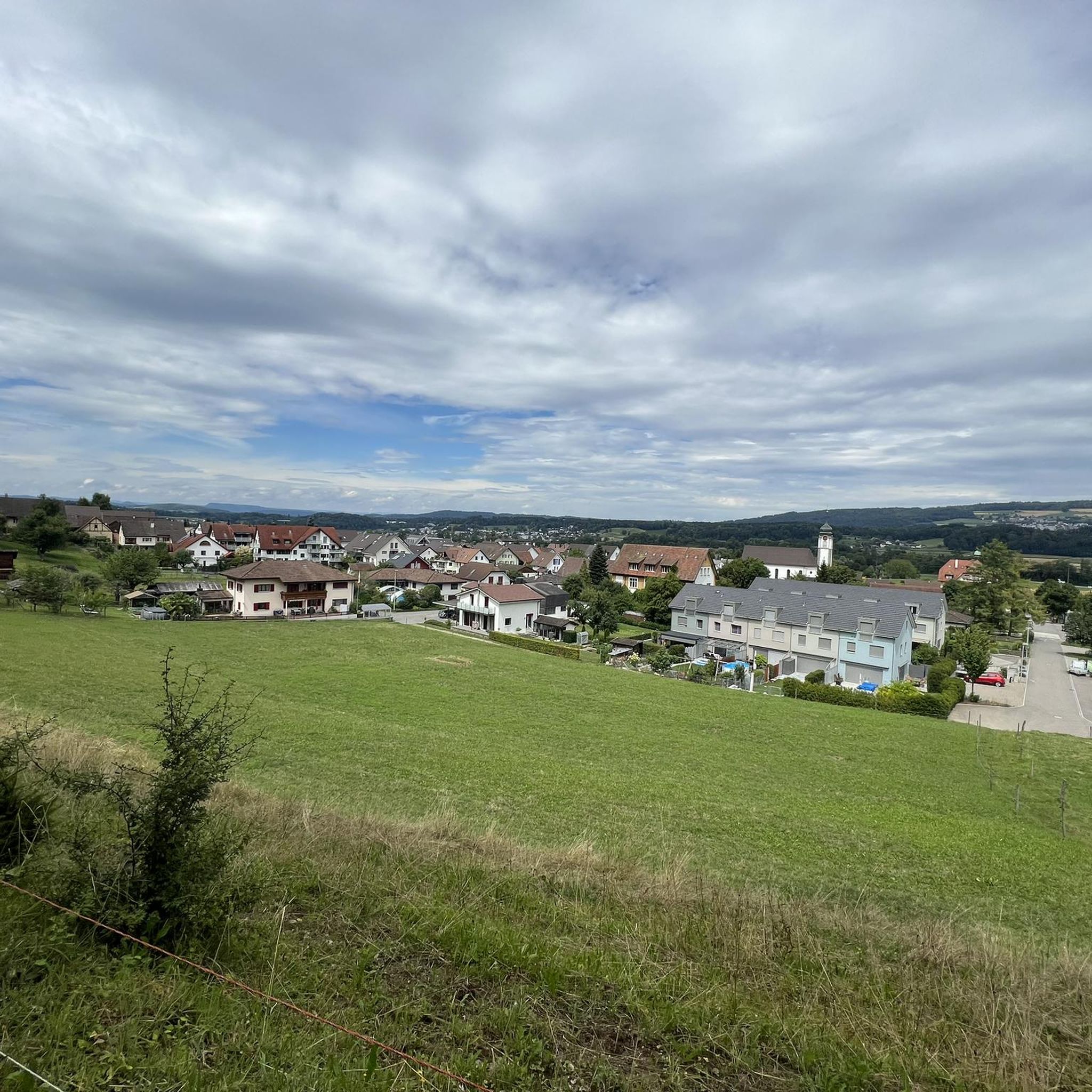
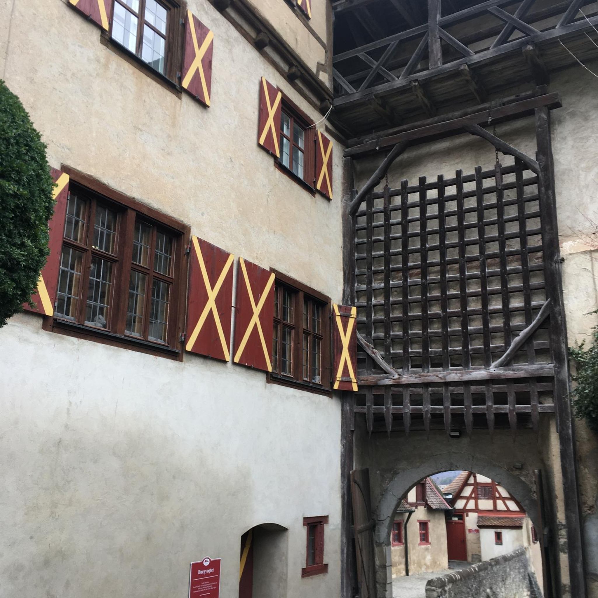
Tips from the Community

Arrived at the summit of the Bürersteig (550 m above sea level), a versatile hub for cyclists and mountain bikers in the Jurapark Aargau opens up. Those who have mastered the ascent from Mönthal or Gansingen do not have to go directly down the fast descent to Remigen – there is plenty to discover at the top: Discover military history: The Bürersteig fortified position Directly in the area of the pass and in the adjacent forest areas, you will encounter historical concrete structures from the Second World War and the Cold War. Purpose of the facility: The pass was part of the Swiss Army's Bürersteig fortified position. Its mission was to block a potential enemy advance from the Rhine Valley across the Jura towards the Mittelland and the Aare Valley.
1
0

Beautiful view of the Reuss, whether going upstream or downstream. Right next to the bridge, there is a small sandbank that invites you to swim.
0
0

Cycle path located between Remigen and Möntal. Off the road, quietly situated, almost nestled between two mountains. The picturesque landscape also has a calming effect on us: the vineyards, the fields, the forests... From Remigen in the direction of Möhntahl, a slight upward trend, before the Ampfernhöhe a steeper section that can be easily managed. Have fun on the ride!
0
0
A beautiful view of the Flachsee lake, which is actually an artificial lake on the Reuss, in every season. A paradise for birds and a place to linger
0
0
Here a jetty leads to a bird watching stand. It is a wooden hut on a jetty, with seating facilities to linger and observe birds at the same time.
0
0
Always a great view of the Flachsee, with its diversity of birds. It is also a vast nature reserve that invites you to linger and observe the wildlife. In summer, you often see water buffaloes frolicking in and around the Flachsee.
0
0
The first Aare bridge near Stilli was built in 1903 by the canton of Aargau. Renewed and widened in 1970. In the 13th/14th century, a bridge already crossed the Aare near Freudenau Castle (approx. 200 meters upstream).
0
0
Pleasant gradient, easy to manage. Beware, we are not alone on the road. Especially when going downhill. The route is also popular with motorcyclists and cars, especially on weekends and holidays when the weather is nice.
1
0
Frequently Asked Questions
How many road cycling routes are available around Tägerig?
There are over 300 road cycling routes available around Tägerig, offering a wide range of options for different skill levels and preferences. The region's diverse topography, from the Aare river valley to the rolling hills of Heitersberg, ensures varied cycling experiences.
Are there easy road cycling routes suitable for beginners or families in Tägerig?
Yes, Tägerig offers a good selection of easy road cycling routes. With nearly 60 routes categorized as easy, beginners and families can find suitable options. An example is the Mellingen Old Town – Baden Cycle Path loop from Mellingen Heitersberg, which covers about 28 km with moderate elevation gain.
What kind of terrain can I expect on road cycling routes near Tägerig?
Road cycling routes around Tägerig feature varied terrain. You'll find flatter sections along the Aare river valley, as well as more challenging ascents through elevated areas like Heitersberg. The landscape includes open countryside, forested stretches, and views of local landmarks.
Are there challenging routes for advanced road cyclists in the Tägerig area?
Absolutely. For advanced road cyclists, Tägerig provides over 75 difficult routes. These often feature significant elevation gains and longer distances. A notable challenging route is the View of Aarau – Aare Bridge Brugg loop from Mellingen Heitersberg, which spans over 70 km with substantial climbing.
What are some scenic viewpoints or natural attractions along the road cycling routes?
Many routes offer scenic viewpoints and natural attractions. You can enjoy views of historical water castles, elevated perspectives from Rotberg, and extensive riding along the Aare river. Highlights in the region include the serene Egelsee and the picturesque Flachsee. Some routes also pass by impressive waterfalls like the Waterfall on the Chräenbach.
Are most road cycling routes around Tägerig circular?
Yes, many of the road cycling routes around Tägerig are designed as loops, allowing you to start and finish at the same point. This makes planning your ride and logistics, such as parking, much more convenient. Examples include the popular View of the Wasserschloss – View of Mandach from Rotberg loop from Mellingen Heitersberg.
What do other road cyclists say about the routes in Tägerig?
The road cycling routes in Tägerig are highly rated by the komoot community, with an average score of 4.5 stars from over 500 reviews. Cyclists frequently praise the varied terrain, the well-maintained paths, and the beautiful blend of natural landscapes and historical towns.
Can I find routes that pass through historical towns or past castles?
Yes, several routes are designed to take you through historical towns and past significant castles. For instance, the Mellingen Old Town – Hallwyl Castle loop from Mellingen Heitersberg leads through charming old towns and past impressive historical structures like Hallwyl Castle.
What is the best time of year for road cycling in Tägerig?
The best time for road cycling in Tägerig is generally from spring through autumn. During these seasons, the weather is typically mild, and the landscapes are vibrant. Summer offers longer daylight hours, while spring and autumn provide pleasant temperatures and often fewer crowds.
Are there any routes that offer views of lakes or rivers?
Absolutely. The region is characterized by its waterways. Routes often follow the Aare river, providing scenic views. You can also find routes that pass by beautiful lakes such as the Flachsee. The View of Flachsee – Flachsee loop from Mellingen Heitersberg is a great option for lake views.
How long do road cycling routes around Tägerig typically take to complete?
The duration of road cycling routes around Tägerig varies significantly based on distance, elevation, and your cycling speed. Easy routes might take around 1.5 to 2 hours, while moderate routes often range from 2.5 to 3 hours. More difficult routes can take 4 hours or more to complete.
Most popular attractions around Tägerig

Get inspired with the komoot mobile app


Explore more
Browse the best Road cycling routes in other regions.
