The best walks and hikes around Tackesdorf
4.6
(500)
1,690
hikers
206
hikes
Hiking around Tackesdorf offers access to a diverse landscape in Schleswig-Holstein, characterized by the Kiel Canal, numerous lakes, moors, and forests. The region provides varied terrain, from flat paths along waterways to trails through wooded areas. This environment supports a range of hiking experiences suitable for different fitness levels.
Best hiking trails around Tackesdorf
- The most popular hiking route is Hiking loop from Tackesdorf, a 4.4 miles (7.1 km) trail that takes 1 hour 47 minutes to complete. This…
Last updated: June 28, 2026
4.8
(8)
19
hikers
7.11km
01:48
10m
10m
Easy hike. Great for any fitness level. Easily-accessible paths. Suitable for all skill levels.
4.3
(9)
18
hikers
6.51km
01:38
10m
10m
Easy hike. Great for any fitness level. Easily-accessible paths. Suitable for all skill levels.

Sign up for free
4.7
(7)
17
hikers
4.37km
01:06
0m
0m
Easy hike. Great for any fitness level. Easily-accessible paths. Suitable for all skill levels.
4.0
(4)
12
hikers
Moderate hike. Good fitness required. Easily-accessible paths. Suitable for all skill levels.
4.5
(4)
16
hikers
19.7km
04:57
20m
20m
Moderate hike. Good fitness required. Easily-accessible paths. Suitable for all skill levels.
Get access to more routes and recommendations from other explorers.
Sign up for free
Already have an account?
Our route recommendations are based on thousands of hikes, rides, and runs completed by other people on komoot.
Start today with a free account
Your next adventure awaits.
Login or Signup

Tips from the Community

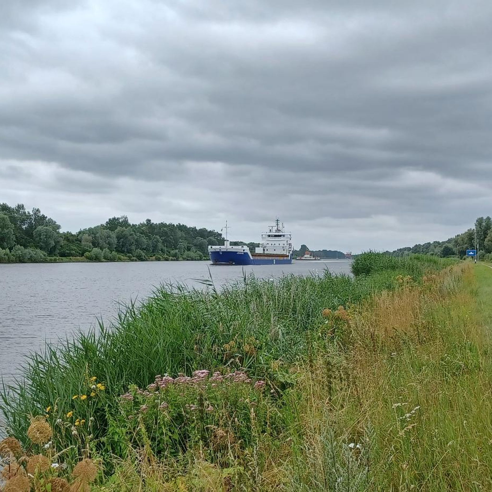
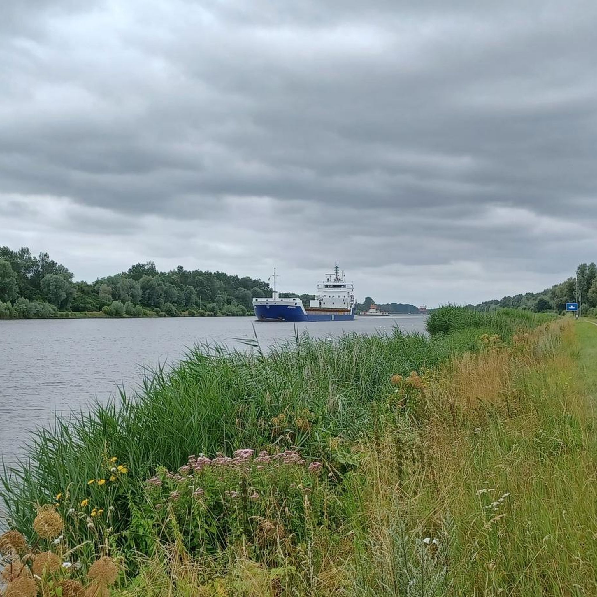
Bring sunscreen. The bench is perfectly south-facing, so it's easy to get a good view of the sun. The view over the canal is beautiful.
3
0
Sunsets are easy to observe here because the land is so flat. Whether this is a local highlight is up to each individual to decide.
4
0
From this dike-like elevation, you have a wonderful view of the fork in the Eider River and the Giselau Canal. This is the only connection between the Eider and the Kiel Canal.
3
0
During the construction of the Kiel Canal (NOK), a connection between the Kiel Canal and the Eider River was created in Rendsburg. However, because the lock increasingly hindered road traffic in Rendsburg, an alternative lock was built further west in 1937: The Gieselau Lock. Since then, this lock has connected the Eider River with the Kiel Canal in the Gieselau Valley, south of Prinzenmoor. The Gieselau Canal is only navigable during the summer months.
5
0
Who doesn't like @Dani's post here and why (?) is not clear to me 🤔
5
0
Road traffic, and thus also the hiking trail, is routed through the truly picturesque Giselau Lock. Visitors rattle along wooden planks. The canal is beautifully situated and runs through a rather quiet, rural area.
5
0
The Gieselau Canal has connected the Eider River with the Kiel Canal (NOK) since 1937. The approximately 2 km long canal serves primarily as a link between the two waterways for recreational boating. This requires a lock to balance water levels and currents.
5
0
The granite and yellow brick crossing of the mouth of the Haaler Au into the Kiel Canal dates from 1998. Stairs lead down to the water on all sides and the southern stairs not only offer a beautiful view of the lake-like upwelling of the Au, but also provide perfect exposure to the sun.
4
0
Frequently Asked Questions
How many hiking trails are available around Tackesdorf?
Tackesdorf offers a wide variety of hiking opportunities, with over 200 routes recorded on komoot. These trails cater to different preferences, including 131 easy routes, 72 moderate, and 7 more challenging options.
What kind of terrain can I expect on hiking trails near Tackesdorf?
The terrain around Tackesdorf is quite diverse, characterized by the unique landscape of Schleswig-Holstein. You'll find flat paths along the Kiel Canal, trails winding through extensive forests and moorlands, and paths around numerous lakes such as Wittensee and Bordesholmer Lake. This variety ensures a range of experiences, from leisurely strolls to more immersive nature walks.
Are there any easy hiking trails suitable for beginners or casual walkers?
Yes, Tackesdorf is well-suited for beginners and casual walkers, with 131 easy routes available. A popular choice is the Kiel Canal – Gieselau Lock loop from Gieselauschleuse, an easy 4.4 km path that follows the canal banks, offering views of passing ships and the lock. Another accessible option is the Hiking loop from Tackesdorf, which is 7.1 km long and explores the immediate surroundings.
Can I find circular hiking routes around Tackesdorf?
Absolutely. Many of the hiking trails around Tackesdorf are designed as circular routes, allowing you to start and end at the same point. Examples include the Hiking loop from Tackesdorf and the Kiel Canal – Gieselau Lock loop from Gieselauschleuse. These loops are ideal for exploring the area without needing to retrace your steps.
What are some notable landmarks or attractions I can see while hiking in Tackesdorf?
While hiking, you can encounter several interesting landmarks. The most prominent is the Kiel Canal (Nord-Ostsee-Kanal) itself, with its impressive Gieselau Canal Lock and Bascule Bridge. You might also spot the Breiholz Ferry or the Oldenbüttel Ferry crossing the canal. For nature lovers, the Polders of the Haaler Au and the Haaler Au Memorial and Nature Reserve offer unique natural sights.
Are there family-friendly hiking options in the Tackesdorf area?
Yes, the region around Tackesdorf offers several family-friendly hiking options. Many of the easy, flat paths along the Kiel Canal are suitable for families. The diverse landscape of lakes and forests provides engaging environments for children to explore. Look for routes described as 'adventure trails' in the broader region, which are often designed with interactive elements for younger hikers.
Are dogs allowed on the hiking trails around Tackesdorf?
Generally, dogs are welcome on hiking trails around Tackesdorf, especially on paths through forests and along the Kiel Canal. However, it's always advisable to keep dogs on a leash, particularly in nature reserves or areas with livestock, to protect local wildlife and ensure a pleasant experience for everyone. Please check local signage for any specific restrictions.
What is the best time of year to go hiking in Tackesdorf?
The best time to hike in Tackesdorf largely depends on your preferences. Spring is particularly beautiful when nature awakens, and migratory birds return to the nearby Westensee Nature Park. Summer offers pleasant conditions for lakeside walks and picnics. Autumn provides stunning foliage in the forested areas. Even winter can be appealing for crisp, quiet walks, though some paths might be muddy or icy.
How long do hikes near Tackesdorf typically take?
Hike durations vary significantly depending on the route's length and your pace. For example, the easy Kiel Canal – Gieselau Lock loop from Gieselauschleuse (4.4 km) takes approximately 1 hour 5 minutes. A longer, moderate route like the Nature Trail Through the Moor – Gieselau Lock loop from Oldenbüttel (10.6 km) typically takes around 2 hours 39 minutes. You can find estimated durations for each specific route on komoot.
Are there places to eat or drink near the hiking trails?
While Tackesdorf itself is a smaller community, the surrounding region, especially near popular spots like the Gieselau Lock or larger towns, offers options for refreshments. You can often find cafes or pubs in nearby villages. It's a good idea to check local listings or plan your route to pass through areas with amenities if you wish to stop for a meal or drink.
What do other hikers enjoy most about hiking in Tackesdorf?
The hiking experiences around Tackesdorf are highly rated by the komoot community, with an average score of 4.6 stars from over 460 reviews. Hikers often praise the unique combination of the Kiel Canal scenery, the tranquility of the diverse landscapes featuring lakes, moors, and forests, and the variety of well-maintained trails suitable for all fitness levels.
Is there public transport available to reach hiking trailheads near Tackesdorf?
Public transport options to specific trailheads around Tackesdorf can be limited, especially for more remote starting points. However, some routes, particularly those near the Gieselau Lock or larger villages, might be accessible by local bus services. It's recommended to check regional public transport schedules in advance for the most up-to-date information on routes and stops.
Most popular attractions around Tackesdorf

Get inspired with the komoot mobile app


Explore more
Browse the best Hikes in other regions.
