The best walks and hikes around Argenta
4.3
(162)
783
hikers
42
hikes
Hiking around Argenta is characterized by its flat agricultural landscape, situated near the Valli di Comacchio lagoon wetlands. The region offers routes through nature reserves and reclaimed land, with minimal elevation changes. These trails provide opportunities to explore the unique wetland ecosystems and rural scenery.
Best hiking trails around Argenta
- The most popular hiking route is Pumping Stations of the Renana Land Reclamation – Vallesanta Pumping Station loop from Chiavica emissaria, a 5.9 miles (9.5 km) moderate trail that…
Last updated: October 26, 2026
4.3
(7)
24
hikers
Moderate hike. Good fitness required. Easily walkable paths.
12
hikers
Easy hike. Easily walkable paths.

4.5
(2)
11
hikers
17.1km
04:18
20m
20m
Moderate hike. Good fitness required. Easily walkable paths.
4.5
(2)
10
hikers
12.1km
03:03
20m
20m
Moderate hike. Good fitness required. Easily walkable paths.
6
hikers
7.71km
01:57
10m
10m
Easy hike. Easily walkable paths.
Get access to more routes and recommendations from other explorers.
Already have an account?
Our route recommendations are based on thousands of hikes, rides, and runs completed by other people on komoot.
Start today with a free account
Your next adventure awaits.





Tips from the Community

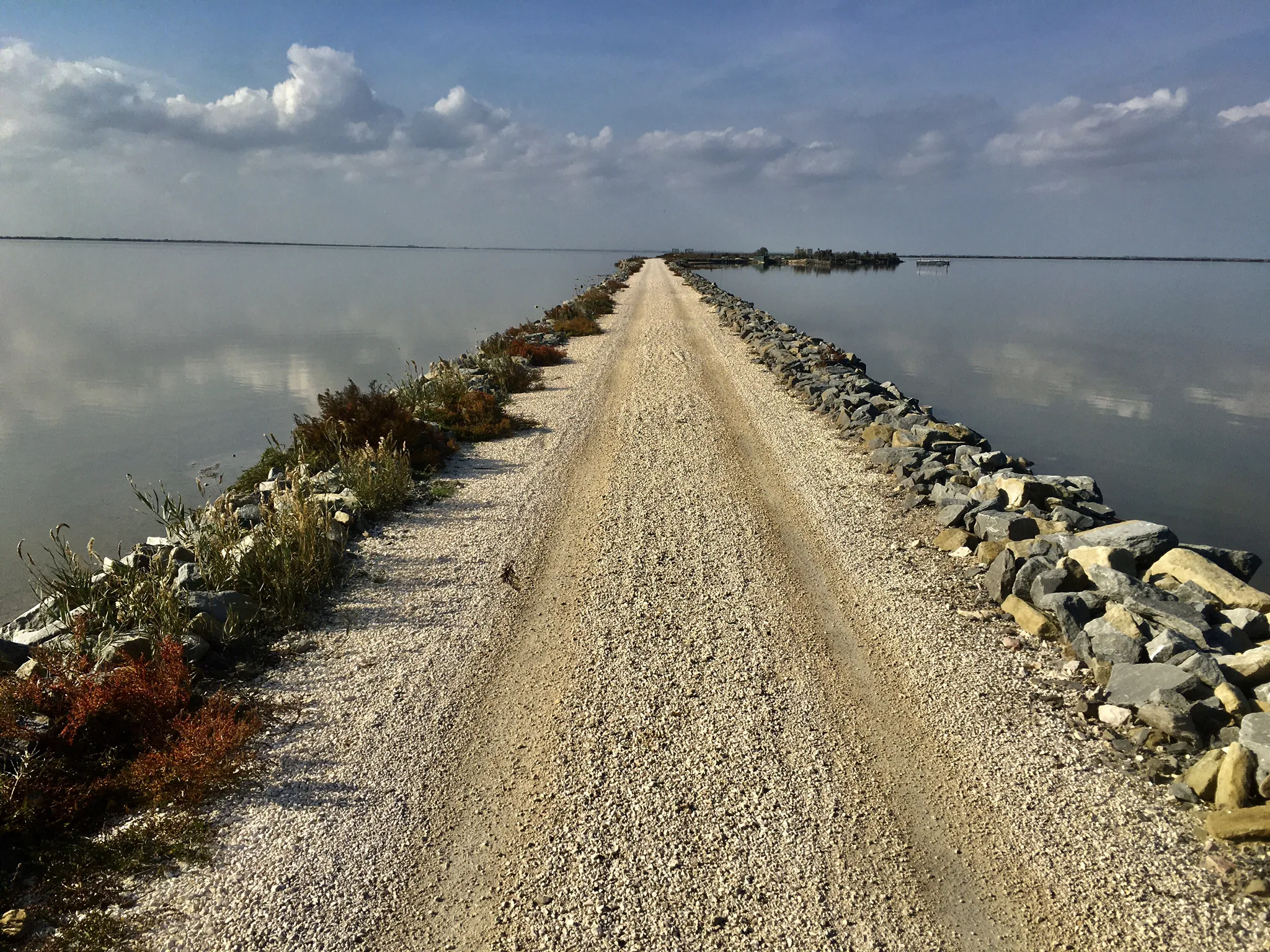
The “Damm der Engel” / “L'Argine degli Angeli” is a spectacular cycling and hiking trail. It runs from the Bellocchio canal for about 6 km over the water of the Comacchio Lagoon on a dam with a fine gravel surface and a width of about two meters. At the start, the path seems endless. The further you cycle into and across the lagoon, the wider and more expansive the lagoon lake becomes. Magical water reflections alternate on the right and left of the dam, and at times, cloud formations look like paintings. A route where there is no room for haste; pausing and enjoying is the order of the day… Rating: particularly valuable and unique… Photos speak louder than words!
0
0
The “Damm der Engel” / “L'Argine degli Angeli” – is a spectacular cycling and hiking trail. It runs from Kanal Bellocchio for approx. 6 km over the water of the Comacchio lagoon on a dam with a fine gravel surface and a width of approx. two meters. At the start, the path seems never-ending. The further you cycle into and across the lagoon, the wider and more expansive the lagoon lake becomes. Enchanting water reflections alternate to the right and left of the dam, and occasionally cloud formations look like they have been painted. A route where there is no room for haste, pausing and enjoying is the order of the day… Rating: particularly valuable and unique… Pictures speak louder than words!
1
0
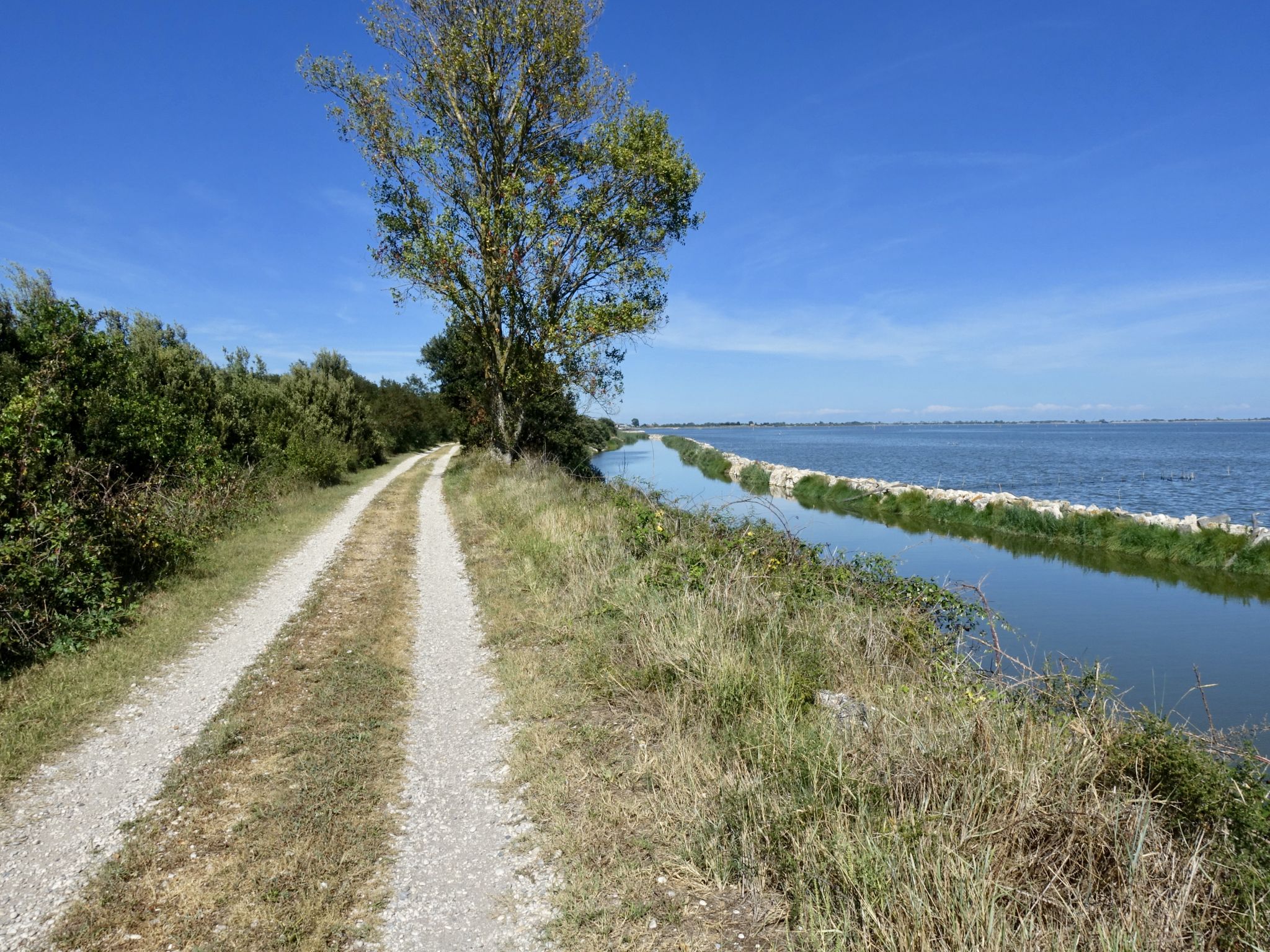
Small peninsula with the possibility to cycle a bit into the Valle on a dead-end road at certain times.
0
0

Guided bike tours on November 9, 16, 23, and 30 to the northern tip of Bosco Forte, usually inaccessible, among splendid white Camargue horses, pink flamingos, and wild nature consisting of reed beds, glassworts, salt marshes, and sandy hummocks formed hundreds of years ago; a true corner of paradise; for more information, call 0544 528710 or contact nature@atlantide.net
1
0
On 2/7/1849 Garibaldi escapes from besieged Rome to pass through Umbria, Tuscany, towards the Apennines, Cesenatico and Anita: on 31 July he obtains asylum in San Marino but leaves again towards Venice, from the mouth of the Rubicon he arrives in Gatteo, enters Cesenatico, disarms the Austrian gendarmes and takes possession of 13 fishing boats, 12 bragozzi and 1 tartana and on 2 August he leaves for Venice with Anita, 6 months pregnant and dying, who will die in Magnavacca in the valleys of Comacchio.
0
0

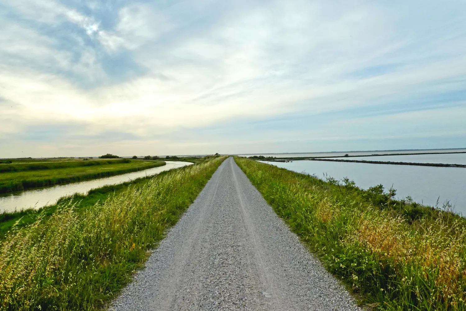
A flat, beaten dirt road. Just under 180 cm wide, with a beautiful view.
2
0

Spectacular
1
0

Voghenza was a Roman settlement called Vicus Aventinus or Vico Habentia, the administrative hub of vast imperial properties. Archaeological excavations have brought to light a burial and monumental area of some importance dating from the mid-1st century AD to the mid-3rd. The materials found consist of common ceramics (cups, mugs, lamps), glass and onyx unguentaria, gold and amber ornaments, now exhibited at the Museo Civico di Belriguardo. Among the 67 burials (inhumations and cremations), the large marble sarcophagus of Ulpia Pusinnica and two funerary enclosures with tombs marked by inscribed cippi stand out. Located just outside the town, the necropolis is not accessible for visits, but is still visible as a whole from Via Dante Alighieri. Visible only from the outside.
0
0
Frequently Asked Questions
What kind of hiking experience can I expect in Argenta?
Hiking around Argenta is characterized by its flat agricultural landscape and proximity to the Valli di Comacchio lagoon wetlands. The trails offer opportunities to explore unique wetland ecosystems, nature reserves, and reclaimed land with minimal elevation changes, making them generally accessible.
How many hiking trails are available in Argenta?
There are 39 hiking routes available in Argenta. These include 22 easy trails and 17 moderate trails, catering to various fitness levels.
Are there any easy hiking trails suitable for beginners or casual walkers?
Yes, Argenta offers 22 easy hiking trails. An example is the Vallesanta Pumping Station – Pumping Stations of the Renana Land Reclamation loop from Chiavica emissaria, which is about 4.7 km long and takes around 1 hour 12 minutes to complete.
Are there any circular routes in Argenta?
Many routes in Argenta are circular. For instance, you can explore the Argenta Valleys loop from Argenta, a 12.1 km trail through the flat Argenta Valleys, or the Pumping Stations of the Renana Land Reclamation – Vallesanta Pumping Station loop from Chiavica emissaria, a 9.5 km moderate route.
What natural features or landmarks can I see while hiking in Argenta?
The region is rich in wetland features. You can spot Flamingos in the Comacchio Valleys, explore the Boscoforte Peninsula Nature Reserve, or walk along the Argine degli Angeli, which offers views of the Comacchio Lagoons.
What do other hikers say about the trails in Argenta?
The trails in Argenta are highly rated by the komoot community, with an average score of 4.5 stars from over 110 reviews. Hikers often appreciate the unique wetland scenery and the peaceful, flat paths.
Are there any longer, more challenging routes for experienced hikers?
While Argenta's terrain is generally flat, there are moderate routes that offer longer distances. The Comacchio Valleys – Garibaldi Monument loop from Sant'Alberto is a moderate 17.1 km path, providing extensive views across the wetlands.
Can I bring my dog on the hiking trails in Argenta?
Many trails in the Argenta region are suitable for dogs, especially given the flat terrain. However, it's always recommended to check local regulations for specific nature reserves or protected areas within the Valli di Comacchio wetlands, as rules for pets can vary.
Are the trails in Argenta suitable for families with children?
Yes, the numerous easy and flat trails in Argenta are well-suited for families. The minimal elevation changes make for comfortable walks, and the unique wetland environment offers opportunities for birdwatching and nature observation, which can be engaging for children.
What is the best time of year to go hiking in Argenta?
The best time to hike in Argenta is typically during spring and autumn when temperatures are mild and the wetlands are vibrant with migratory birds. Summer can be hot, while winter might be chilly and damp, though still offering unique atmospheric views of the marshlands.
Are there any historical sites or points of interest along the routes?
Yes, some routes pass by historical points. For example, the Roman Necropolis – San Leo Parish loop from Voghiera is an easy 7.7 km trail that includes historical elements like the Roman Necropolis.
Where can I find parking for the hiking trails in Argenta?
Parking availability varies by trailhead. For routes starting from towns like Argenta or Sant'Alberto, you can typically find public parking in or near the town centers. For trails within nature reserves, designated parking areas are usually provided at the main access points.
Most popular attractions around Argenta

Get inspired with the komoot mobile app


Explore more
Browse the best Hikes in other regions.
