The best road cycling routes around Terenzo
4.4
(210)
4,427
riders
153
rides
Road cycling routes around Terenzo are situated in the Apennine Mountains of Emilia-Romagna, Italy, offering diverse terrain for cyclists. The region features a mix of challenging climbs and scenic routes through rolling hills, transitioning to more mountainous landscapes. Routes often descend towards the Taro Valley and traverse the Val Baganza, providing varied views and gradients.
Best road cycling routes around Terenzo
- The most popular road cycling route is Berceto and Val Baganza — ring tour, a 30.9 miles (49.8…
Last updated: July 13, 2026
4.9
(17)
79
riders
49.8km
02:40
990m
990m
Hard road ride. Very good fitness required. Mostly well-paved surfaces and easy to ride.
5.0
(2)
29
riders
Moderate road ride. Good fitness required. Mostly well-paved surfaces and easy to ride.

Sign up for free
25
riders
118km
05:44
1,710m
1,710m
Hard road ride. Very good fitness required. Mostly well-paved surfaces and easy to ride.
25
riders
119km
06:18
1,940m
1,940m
Hard road ride. Very good fitness required. Some segments of this route may be unpaved and difficult to ride.
1.0
(1)
19
riders
41.1km
02:18
890m
890m
Moderate road ride. Good fitness required. Some segments of this route may be unpaved and difficult to ride.
Get access to more routes and recommendations from other explorers.
Sign up for free
Already have an account?
Our route recommendations are based on thousands of hikes, rides, and runs completed by other people on komoot.
Start today with a free account
Your next adventure awaits.
Login or Signup
Tips from the Community

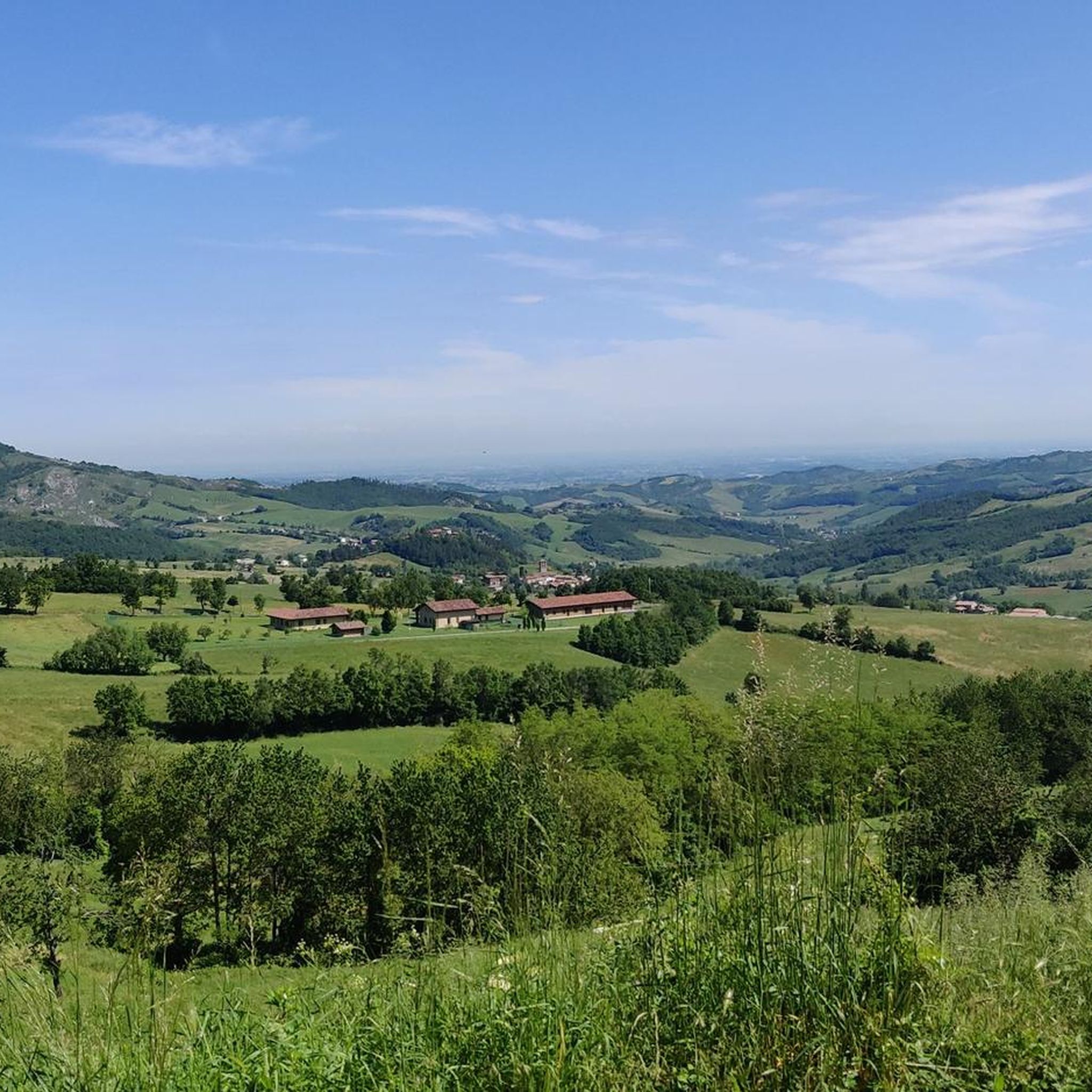
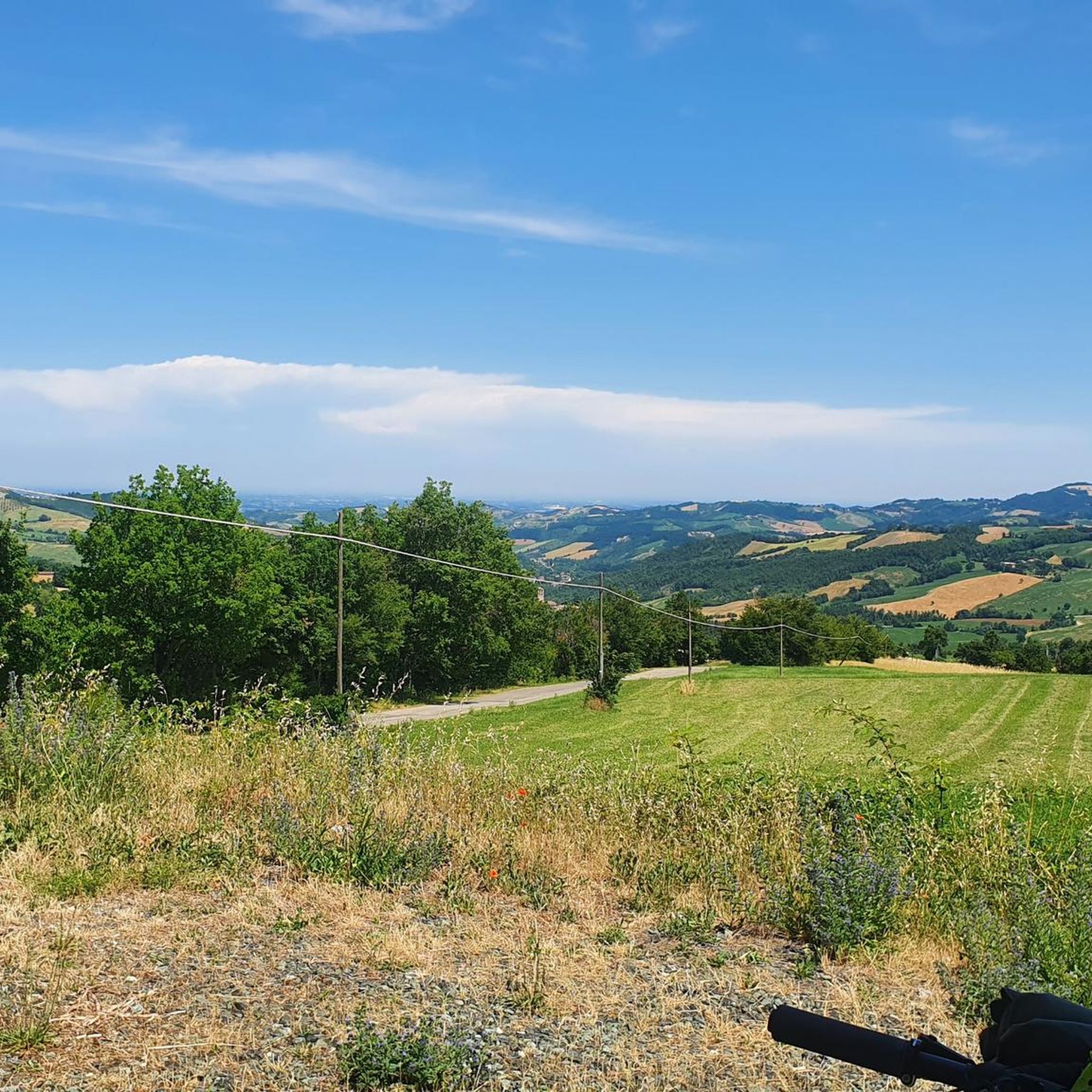
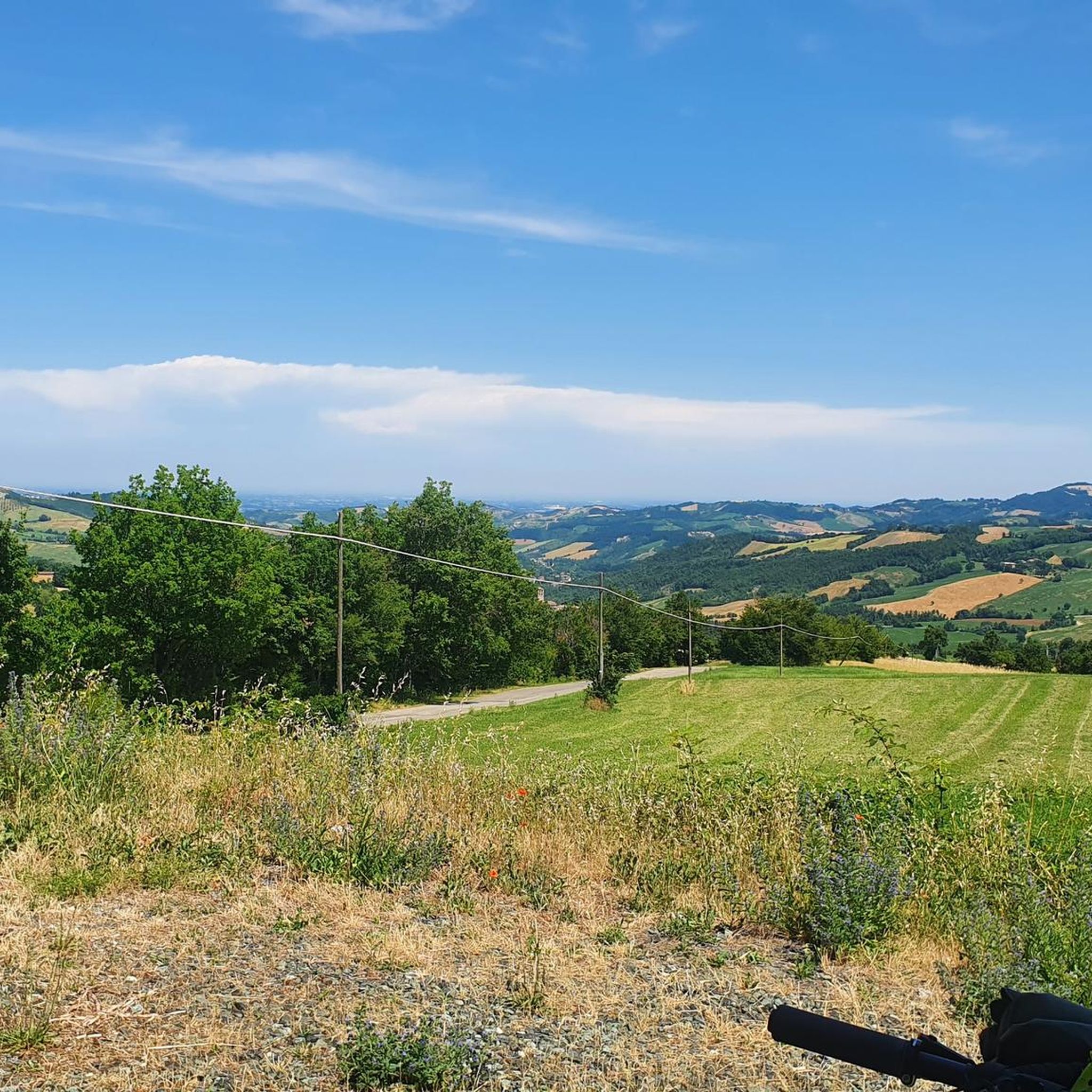
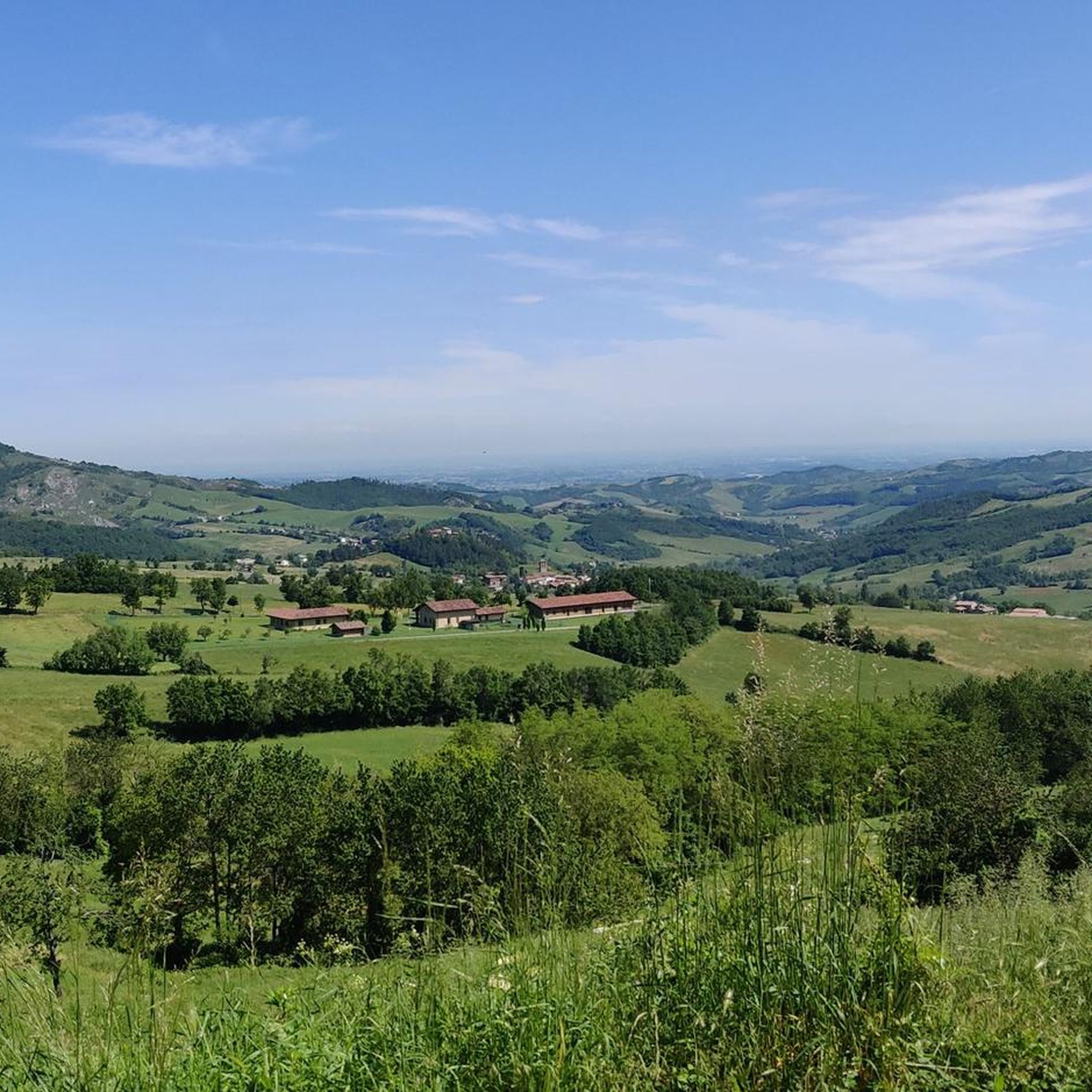
The Val Baganza viewpoint is located on the hills of Barbiano, in the municipality of Felino (PR), precisely at Via Ricò, 19. This position is considered one of the best panoramic terraces in the province of Parma. In addition to this specific point, the Val Baganza offers other exceptional natural and historical viewpoints: Barbiano Viewpoint (Felino): Located on Via Ricò. It offers a clear and open view of the hills and the stream. Monte Bastia and Torre del Boriano (San Vitale Baganza): An easy hiking trail of about an hour starting from Ponticella di San Vitale. Salti del Diavolo Viewpoint (Chiastre di Calestano): Along the CAI 771 trail leading to the famous rock formations. Alta Val Baganza Ridge (Passo della Cisa / Berceto): For high-altitude trekking lovers, the trails connecting Poggio di Berceto to Monte Fontanini offer spectacular 360-degree views that unite Val Baganza with the nearby Val Parma.
0
0

Fresh and comfortable, on the road...
0
0

Cassio is a hamlet in the municipality of Terenzo, located in the Parma Apennines. It is a place particularly known for historical, naturalistic, and tourist reasons. The village stands along the ancient route of the Via Francigena (the old Strada Romea). It represents a very famous resting stop for pilgrims walking between Fornovo and Berceto, and is equipped with hostels and refreshment points. It is a classic medieval village characterized by a stone-paved urban layout and flanked by ancient historic buildings. The site is also listed among the FAI's Places of the Heart.
0
0
Val Baganza is a valley in the Parma Apennines carved by the Baganza stream, which extends for about 50 kilometers from its source on Mount Borgognone to its confluence with the Parma stream. It is a territory rich in history, medieval villages, unspoiled nature, and food and wine excellences. The Devil's Jumps: Spectacular narrow and elongated rock formations that cut across the valley, ideal for hiking
1
0
Berceto is an ancient and charming Apennine village located at 852 meters above sea level in the province of Parma, in the heart of Emilia-Romagna. It has just under 2,000 inhabitants and is historically renowned for being the last stage of the Via Francigena in the Emilian territory before the Cisa Pass, which leads towards Tuscany.
0
0
The Passo della Cisa is a mountain pass in the Tuscan-Emilian Apennines, located at 1,041 meters above sea level, which serves as the geographical and historical border between the provinces of Parma (Emilia-Romagna) and Massa-Carrara (Tuscany). It formally separates the Ligurian Apennines from the Tuscan-Emilian Apennines, connecting the upper Val di Taro with Lunigiana. Strada Statale 62: The SS 62 della Cisa is the historic panoramic road that crosses the pass, famous among motorcyclists and cyclists for its hairpin bends and evocative views. Slopes: The Tuscan side from Pontremoli is 18 km long with slopes up to 8.5%, while the Emilian side from Ghiare di Berceto measures approximately 19.6 km with slopes up to 8%.
0
0

IN springDefinitely worth a visit
0
0
Definitely to do, fantastic road
0
0
Frequently Asked Questions
How many road cycling routes are available around Terenzo?
The Terenzo region offers a wide variety of road cycling routes, with nearly 150 different tours available on komoot. These routes cater to various skill levels, from moderate to challenging, allowing cyclists to explore the diverse landscapes of the Apennine Mountains.
What kind of terrain can I expect when road cycling near Terenzo?
Road cycling around Terenzo features diverse terrain, transitioning from rolling hills to more mountainous landscapes within the Apennine Mountains. Routes often include challenging climbs, scenic descents into the Taro Valley, and passages through the Val Baganza, providing varied gradients and views.
Are there any easy road cycling routes suitable for beginners in Terenzo?
Yes, while many routes are moderate to difficult, there are approximately 16 easy road cycling routes around Terenzo. These routes offer a gentler introduction to the region's beautiful scenery, often traversing rolling hills rather than steep mountain ascents.
What are some notable landmarks or attractions I can see along the cycling routes?
Many routes pass through or near charming medieval villages like Terenzo itself, Cassio, Calestano, and Fornovo di Taro. You can also discover historic churches such as the Church of Santo Stefano in Terenzo or the Parish church of Santa Maria in Bardone. For natural wonders, the unique rocky needles of the Salti del Diavolo are a striking sight near Cassio. Additionally, you might encounter historical sites like Berceto or various castles such as Torrechiara Castle and Pallavicino Castle of Varano de' Melegari.
Are there any circular road cycling routes around Terenzo?
Yes, many routes are designed as loops, allowing you to start and end in the same location. An example is the Berceto and Val Baganza — ring tour, which is a difficult 49.8 km route exploring the Val Baganza region. Another option is the Piantonia Switchbacks – Trattoria Ca' de Storti loop from Solignano, a moderate 41.1 km ride.
What is the best time of year for road cycling in the Parma Apennines near Terenzo?
The Parma Apennines, including the area around Terenzo, are generally best for road cycling during the spring and autumn months. The weather is typically milder, and the natural scenery is vibrant. Summer can also be pleasant, especially in the higher elevations, but be prepared for warmer temperatures in the valleys.
Can I find challenging routes that include significant climbs?
Absolutely. The region is known for its challenging climbs, particularly towards the Apennine passes. Routes like the Panoramic view on the Baganza valley – Passo della Cisa loop from Solignano offer significant elevation gains, including the ascent to Passo della Cisa, providing a demanding experience for experienced cyclists.
What do other cyclists say about road cycling in Terenzo?
The road cycling routes around Terenzo are highly rated by the komoot community, with an average score of 4.3 stars from over 160 reviews. Cyclists often praise the varied terrain, the scenic views of the Baganza valley, and the opportunity to explore charming medieval towns and historical sites along the way.
Are there routes that follow historical paths, such as the Via Francigena?
Yes, some routes incorporate sections of historical paths. For instance, the Cassio on the Via Francigena – Passo della Cisa loop from Solignano is a challenging 131.4 km trail that leads through Cassio and along the historic Via Francigena, offering a blend of cycling and cultural exploration.
Are there any routes that pass through the Val Baganza region?
Many road cycling routes in the Terenzo area traverse the Val Baganza, offering diverse views and gradients. The Berceto and Val Baganza — ring tour is a prime example, specifically designed to explore this picturesque valley.
Are there any routes that include the Passo della Cisa?
Yes, the Passo della Cisa is a prominent feature in several challenging routes. The Calestano water fountain – Passo della Cisa loop from Cassio is a difficult 117.7 km route that includes this significant mountain pass, providing a rewarding climb and descent.
Most popular attractions around Terenzo

Get inspired with the komoot mobile app


Explore more
Browse the best Road cycling routes in other regions.
