The best cycling routes around Pieranica
4.2
(416)
3,522
riders
269
rides
Touring cycling around Pieranica offers access to routes across the flat plains of Italy's Lombardy region. The area is characterized by a network of rivers such as the Po, Adda, and Oglio, alongside numerous canals, providing accessible and generally low-gradient paths. These routes often connect historical villages and towns, allowing for exploration of both natural and cultural landmarks. The terrain primarily consists of agricultural roads and dedicated cycle paths.
Best touring cycling routes around Pieranica
- The most popular touring cycling route is Mill on the Martesana – Fara Gera d'Adda footbridge loop from Capralba, a 46.1 miles (74.2 km) trail that takes 4 hours 35 minutes to complete. This route follows canals and rivers, offering views of the surrounding flat landscape.
- Another top favourite among local touring cyclists is Vacchelli Canal entrance – Adda River loop from Capralba, a moderate 26.4 miles (42.4 km) path. This route features canal-side riding and sections along the Adda River, typical of the region's flat topography.
- Local touring cyclists also love the Martesana Canal – Martesana Canal Cycle Path loop from Casaletto Vaprio, a 61.8 miles (99.4 km) trail leading through the Martesana Canal area, often completed in about 5 hours 48 minutes.
- Touring cycling around Pieranica is defined by vast plains, river and canal networks, and connections to charming villages and historical towns. The network offers options for different ability levels, from easy to difficult.
- The routes in Pieranica are highly rated by the komoot community with an average score of 4.2 stars from over 400 reviews. More than 3,800 touring cyclists have used komoot to explore Pieranica's varied terrain.
Last updated: May 16, 2026
2.0
(2)
18
riders
99.4km
05:48
200m
200m
Hard bike ride. Very good fitness required. Mostly paved surfaces. Suitable for all skill levels.
5.0
(2)
16
riders
56.4km
03:38
110m
110m
Hard bike ride. Good fitness required. You may need to push your bike for some segments of this route.

Sign up for free
4.0
(1)
29
riders
Easy bike ride. Great for any fitness level. Mostly paved surfaces. Suitable for all skill levels.
13
riders
Moderate bike ride. Good fitness required. Mostly paved surfaces. Suitable for all skill levels.
4.8
(4)
11
riders
Easy bike ride. Great for any fitness level. Mostly paved surfaces. Suitable for all skill levels.
Get access to more routes and recommendations from other explorers.
Sign up for free
Already have an account?
Our route recommendations are based on thousands of hikes, rides, and runs completed by other people on komoot.
Start today with a free account
Your next adventure awaits.
Login or Signup



Tips from the Community

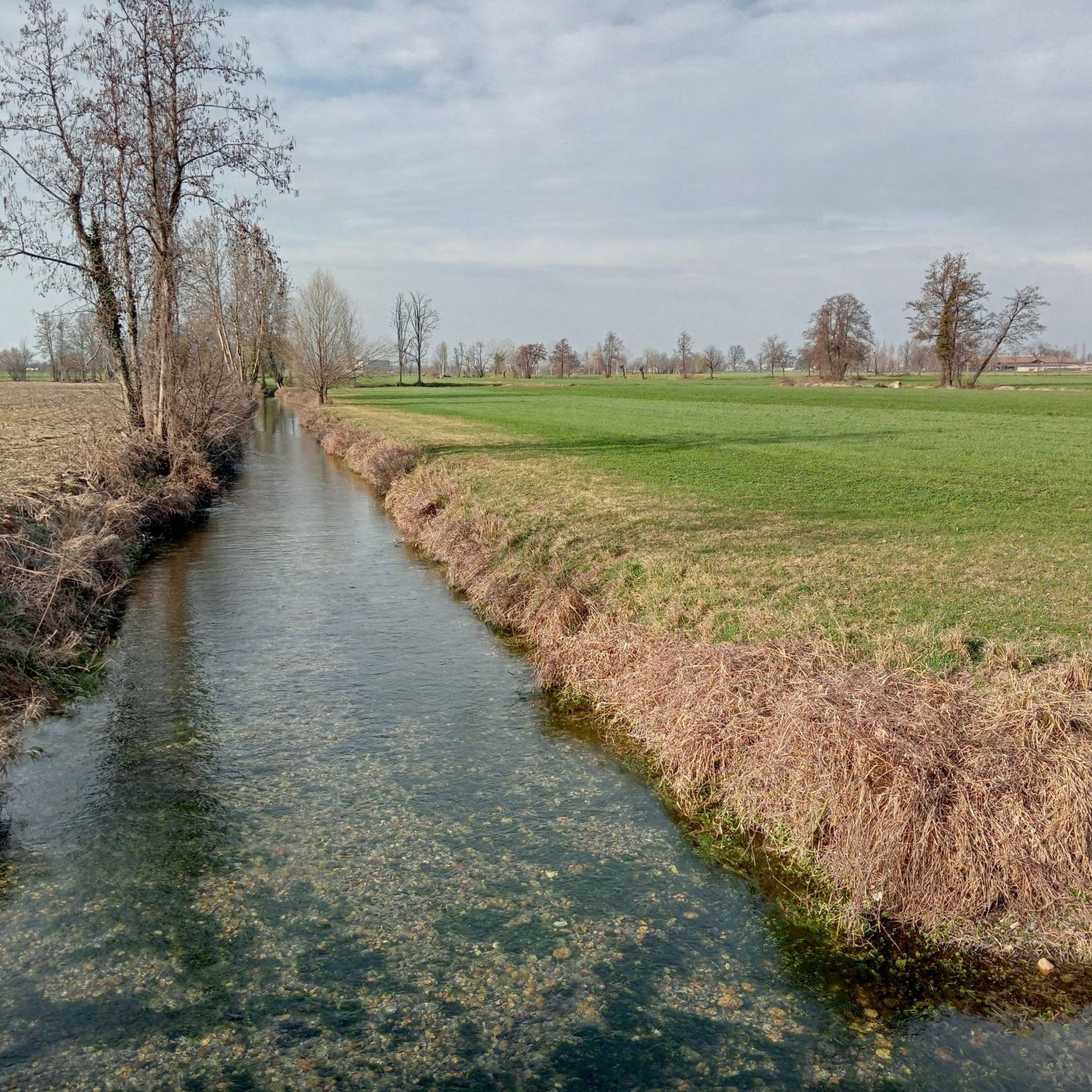
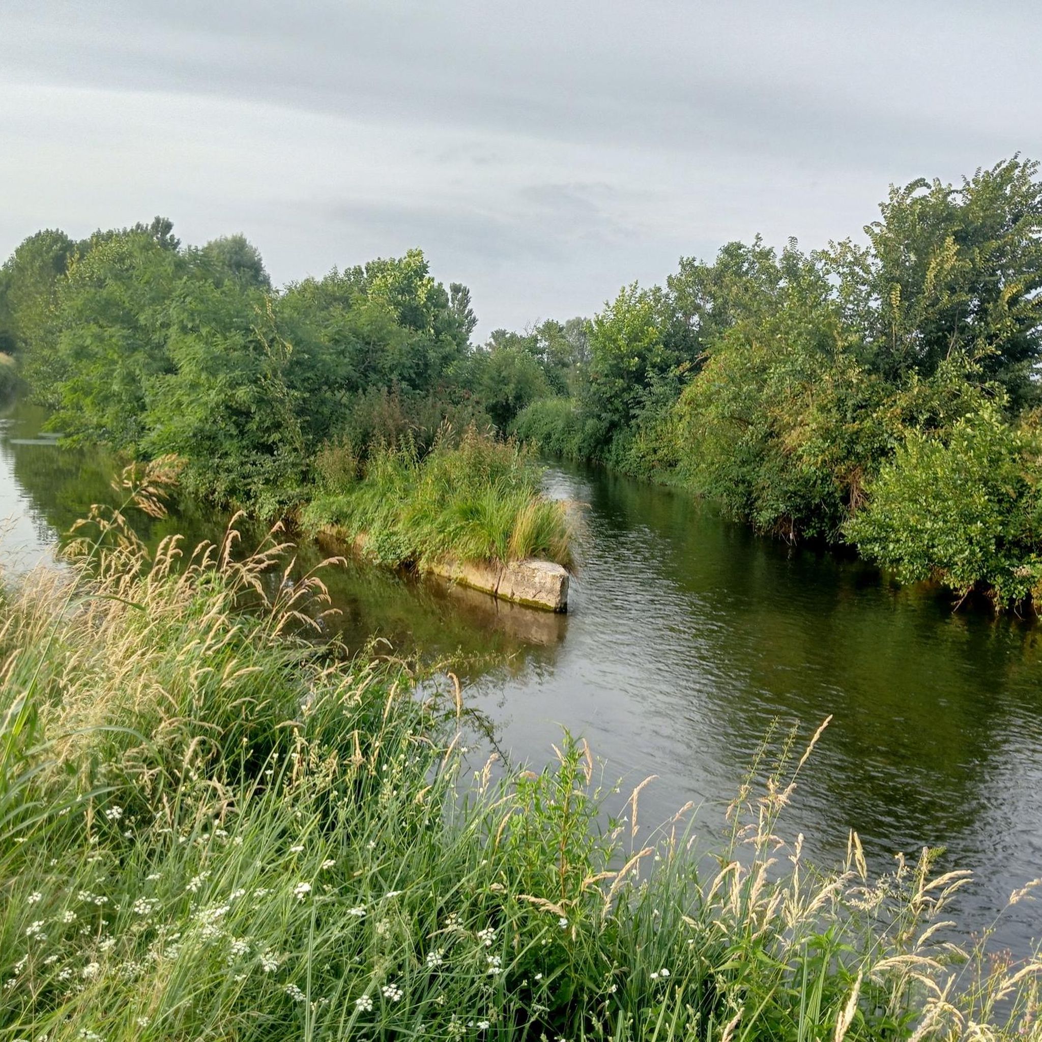
The Naviglio della Martesana, definitively completed in 1496 under the leadership of Ludovico il Moro, flows from Trezzo sull’Adda to Milan for a total length of 38 km. The route runs alongside the ancient Roman road (the current SS 11 padana superiore) which crossed the Adda with two branches: at Vaprio and at Cassano. Irrigation of the land located above the spring belt was for a long time the predominant use of the canal, so much so that initially navigation was limited to two days a week; concurrently with the improvement of the agricultural structure thanks to irrigation, a notable flourishing of stately villas occurred in the Baroque era, aimed at enjoying the convenience of water travel and controlling the owned lands.
0
0
The Naviglio della Martesana, definitively completed in 1496 under the leadership of Ludovico il Moro, flows from Trezzo sull’Adda to Milan for a total length of 38 km. The route runs alongside the ancient Roman road (the current SS 11 padana superiore) which crossed the Adda with two branches: at Vaprio and Cassano. The irrigation of the lands located above the spring belt was for a long time the predominant use of the canal, so much so that initially navigation was limited to two days a week; concurrently with the improvement of the agricultural structure thanks to irrigation, a notable flourishing of stately homes occurred in the Baroque era, aimed at enjoying the convenience of travel on water and controlling the owned lands.
0
0
The Naviglio della Martesana, definitively completed in 1496 under the guidance of Ludovico il Moro, flows from Trezzo sull’Adda to Milan for a total length of 38 km. The route runs alongside the ancient Roman road (the current SS 11 padana superiore) which crossed the Adda with two branches: at Vaprio and Cassano. Irrigation of the land located above the spring belt was for a long time the predominant use of the canal, so much so that initially navigation was limited to two days a week; concurrently with the improvement of the agricultural structure thanks to irrigation, a notable flourishing of stately villas occurred in the Baroque era, intended to enjoy the convenience of travel on water and to control owned lands.
1
0
The Naviglio della Martesana, definitively completed in 1496 under the guidance of Ludovico il Moro, flows from Trezzo sull’Adda to Milan for a total length of 38 km. The route runs alongside the ancient Roman road (the current SS 11 padana superiore) which crossed the Adda with two branches: at Vaprio and at Cassano. The irrigation of the lands located above the spring belt was for a long time the prevalent use of the canal, so much so that initially navigation was limited to two days a week; concurrently with the improvement of the agrarian structure thanks to irrigation, a notable flourishing of stately villas emerged in the Baroque era, aimed at enjoying the convenience of travel on water and controlling the lands of property.
1
0
The Naviglio della Martesana, initially known as Naviglio Piccolo, is one of the Milanese canals that connects Milan with the course of the Adda river through the municipalities of Martesana. Commissioned in the 15th century by Francesco Sforza, it was used for irrigating the countryside but also represented the ambitious project of connecting Milan with Lake Como and thus with the Alps and Ticino. The Naviglio della Martesana is a place rich in history and beauty, a heritage for everyone that, however, today is still little known and protected. Along the Naviglio runs a rather busy cycle path, which allows you to admire the landscape and cultural beauties, such as the rich flora, fauna, or the numerous historic villas, including the Renaissance Villa Melzi d’Eril in Vaprio d’Adda.
1
0

The Naviglio Martesana cycle path is a 30-35 km cycle and pedestrian route that connects Milan (Cassina de' Pomm/via Melchiorre Gioia area) to Trezzo sull'Adda, running alongside the homonymous canal. It is a predominantly asphalted, flat, easy route suitable for everyone, passing through parks, rural areas, and historic noble villas from the 17th-18th centuries.
0
0
The Naviglio Martesana cycle path is a cycle-pedestrian route of about 30-35 km that connects Milan (Cassina de' Pomm/via Melchiorre Gioia area) to Trezzo sull'Adda, running alongside the canal of the same name. It is a predominantly asphalted, flat, easy route suitable for everyone, which crosses parks, rural areas, and historic noble villas from the 17th-18th centuries.
1
0

Very nice tour, the return phase could be improved as, although cyclable, it runs along the provincial road Crema - Lodi. NEW: an embankment has been built with a cycle path on top from Corte Palasio to the Casellario area, running along the Adda with a small bridge over the Tormo stream. Works in progress, it must be completed but is already passable. Beautiful, scenic and shady in the woods.
0
0
Frequently Asked Questions
What is the general terrain like for touring cycling around Pieranica?
The region around Pieranica, part of Italy's Lombardy, is characterized by vast, flat plains. This makes for generally low-gradient cycling paths, often following river networks like the Po, Adda, and Oglio, as well as numerous canals. The routes primarily consist of agricultural roads and dedicated cycle paths, offering accessible and enjoyable touring.
How many touring cycling routes are available in the Pieranica area?
There are over 270 touring cycling routes available around Pieranica. These routes cater to various skill levels, with a significant number being easy or moderate, making the area suitable for a wide range of cyclists.
Are there any routes suitable for beginners or those looking for an easy ride?
Yes, the flat topography of the Cremona territory makes it ideal for easy rides. Many routes follow canals and rivers with minimal elevation changes. For instance, the region offers over 160 easy touring cycling routes, perfect for a relaxed exploration of the countryside.
What kind of landmarks or points of interest can I expect to see along the cycling routes?
Cycling routes around Pieranica often connect charming villages, medieval fortresses, and historical towns. You might encounter historical centers like Pizzighettone and Soncino, or protected areas such as the Adda Sud Regional Park. Specific highlights include the Church of Saint Catherine in Moso, the Vacchelli Canal in the Moso Agricultural Park, and the Palata Menasciutto Reserve.
Are there any longer or more challenging touring cycling routes for experienced riders?
Yes, for more experienced cyclists, there are routes that offer longer distances and can be more demanding. An example is the Serio Gate – Crema loop from Casaletto Vaprio, which is a difficult 56.8 km route. Another challenging option is the Martesana Canal – Martesana Canal Cycle Path loop from Casaletto Vaprio, covering nearly 100 km.
What do other touring cyclists say about the routes around Pieranica?
The touring cycling routes around Pieranica are highly regarded by the komoot community, with an average rating of 4.2 stars from over 460 reviews. Cyclists often praise the serene rural landscapes, the well-maintained canal paths, and the opportunity to combine active exploration with visits to historical centers.
Are there any circular touring cycling routes in the area?
Yes, many of the touring cycling routes around Pieranica are designed as loops, allowing you to start and end at the same point. For example, the Church of Santa Maria dei Mosi – Pizzighettone Walls loop from Casaletto Vaprio offers an 80.5 km circular journey through historical areas.
What is the best time of year to go touring cycling in Pieranica?
The flat plains of Lombardy generally offer pleasant cycling conditions for much of the year. Spring and autumn are often ideal, with milder temperatures and beautiful scenery. Summer can be warm, but the routes along rivers and canals may offer some respite. Winter cycling is possible, though conditions will be cooler.
Can I find routes that pass through natural parks or protected areas?
Absolutely. The region's network of routes often traverses protected areas. For instance, the 'Walled Cities Bike Lanes Itinerary' mentioned in regional research passes through the Adda Sud Regional Park, offering opportunities to observe local wildlife. The Palata Menasciutto Reserve is another natural highlight in the vicinity.
Are there any specific attractions or natural features related to the canals and rivers?
The canals and rivers are central to the cycling experience here. You can explore the Vacchelli Canal Cycle Path, which is a prominent feature in many routes. The Vacchelli Canal in the Moso Agricultural Park is another notable spot, showcasing the blend of natural beauty and agricultural heritage.
Where can I find information about parking for these cycling routes?
While specific parking details for each route are best checked on individual tour pages, many routes around Pieranica start from towns or villages like Capralba or Casaletto Vaprio, where public parking is generally available. It's advisable to check the starting point of your chosen route for local parking options.
Are there any family-friendly touring cycling options?
Given the predominantly flat terrain and numerous easy routes, the Pieranica area is very suitable for family cycling. The dedicated cycle paths along canals and rivers provide safe and enjoyable environments for cyclists of all ages. Look for routes marked as 'easy' for the most family-friendly experiences.
Most popular routes around Pieranica
Most popular attractions around Pieranica

Get inspired with the komoot mobile app


Explore more
Browse the best Cycling routes in other regions.
