The best walks and hikes around Ospedaletto Lodigiano
4.1
(115)
618
hikers
85
hikes
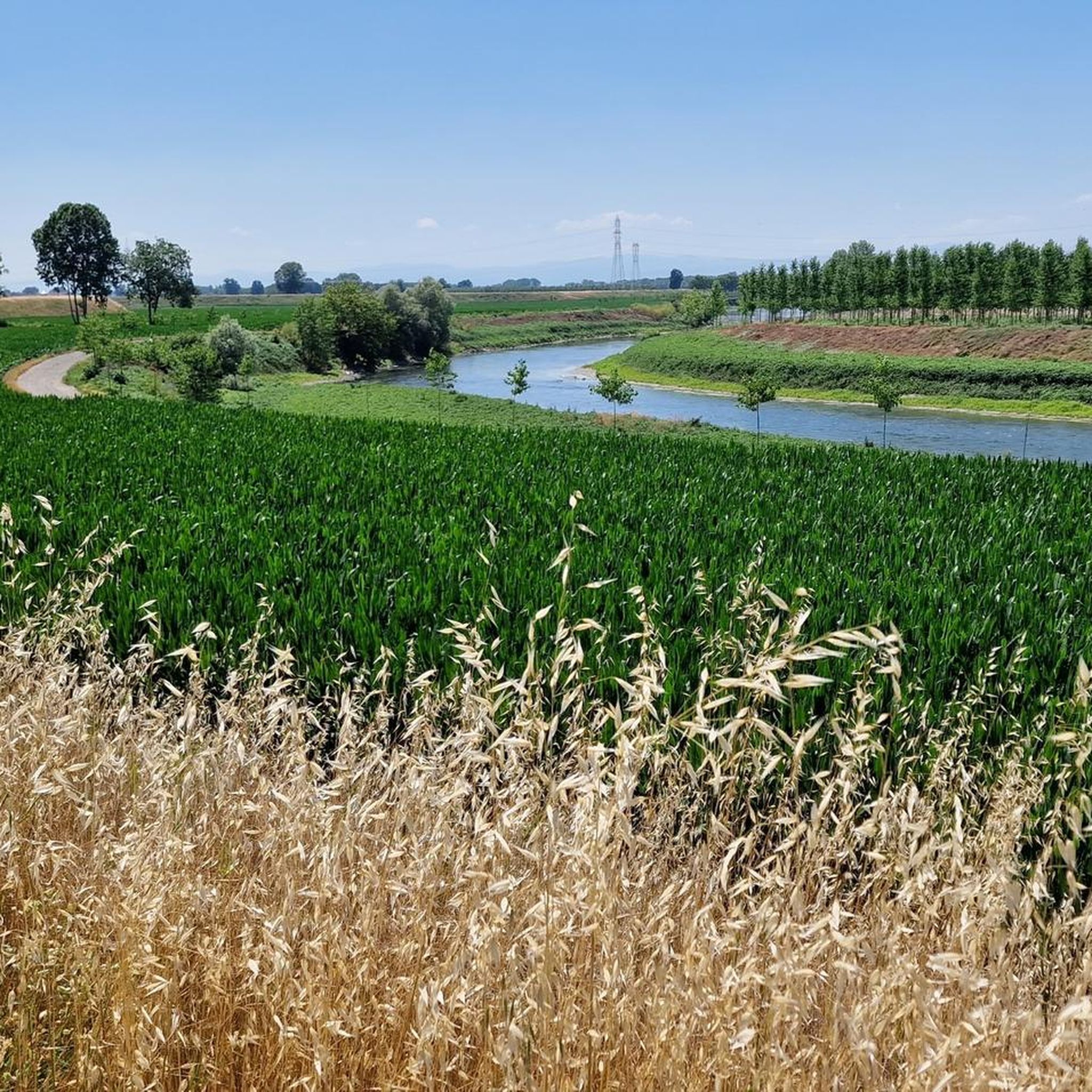
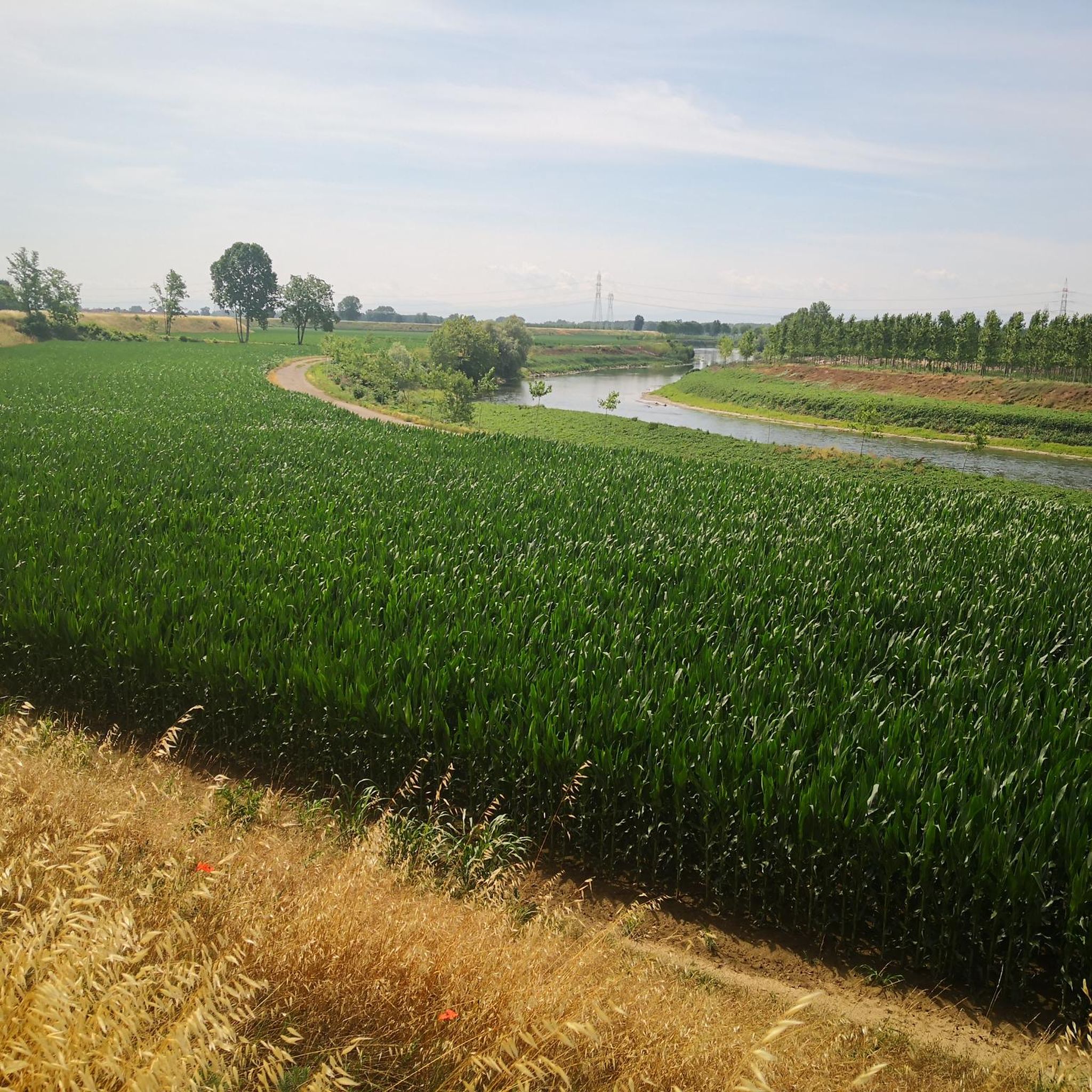
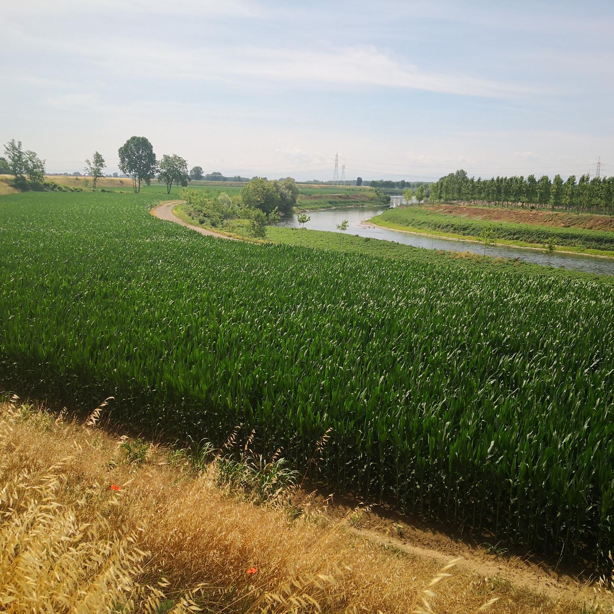
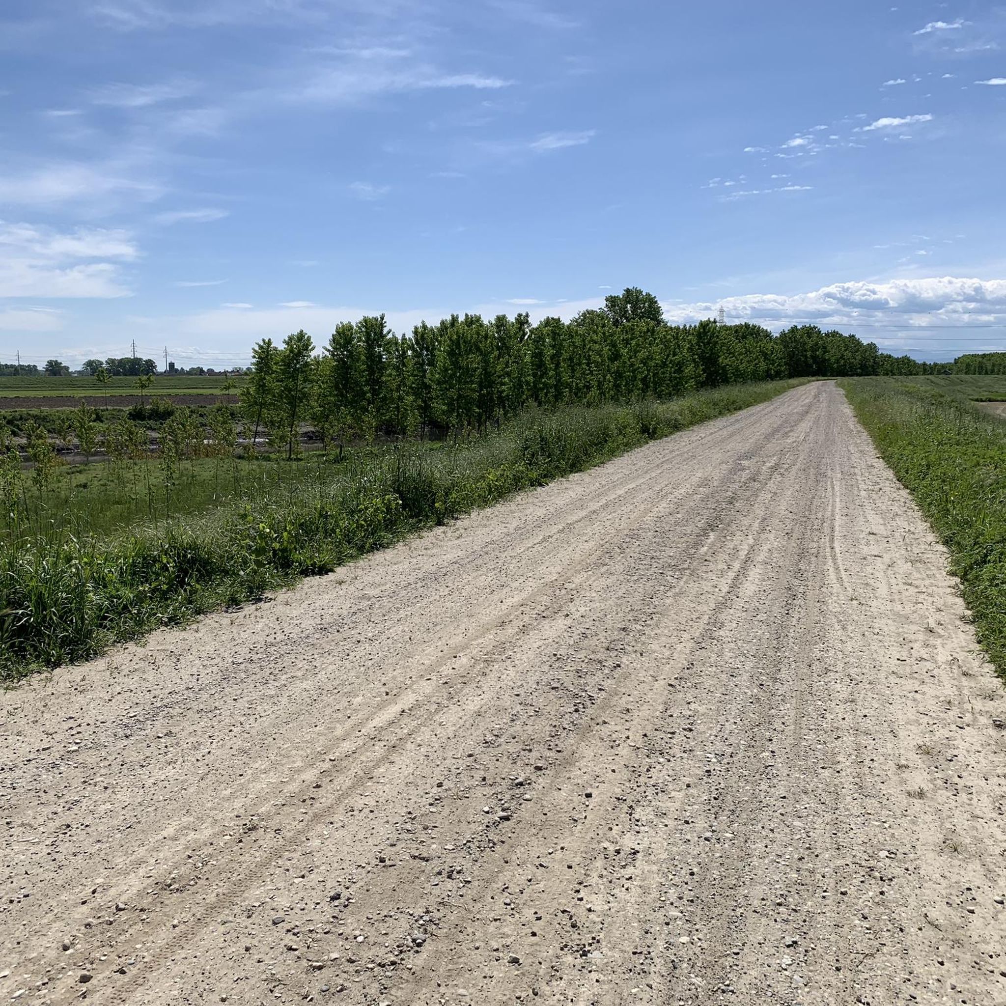
Hiking trails around Ospedaletto Lodigiano are characterized by flat plains, rich agricultural landscapes, and significant waterways. The region, located in Italy's Lombardy, offers walking routes through serene countryside. Key natural features include the Adda and Lambro Rivers, as well as the Po Embankment, providing picturesque and tranquil settings for outdoor activities.
Best hiking trails around Ospedaletto Lodigiano
- The most popular hiking route is Via Francigena - San Rocco al Porto Variant, a 13.8 miles (22.2 km) trail that takes…
Last updated: November 1, 2026
3.9
(21)
100
hikers
24.1km
06:08
50m
40m
Hard hike. Very good fitness required. Easily walkable paths.
5.0
(1)
10
hikers
Moderate hike. Good fitness required. Easily walkable paths.

7
hikers
5.41km
01:24
30m
30m
Easy hike. Easily walkable paths.
5.0
(1)
8
hikers
14.9km
03:47
30m
30m
Moderate hike. Good fitness required. Easily walkable paths.
5.0
(1)
4
hikers
Moderate hike. Good fitness required. Easily walkable paths.
Get access to more routes and recommendations from other explorers.
Already have an account?
Our route recommendations are based on thousands of hikes, rides, and runs completed by other people on komoot.
Start today with a free account
Your next adventure awaits.

Tips from the Community

The parish church of Saints Peter and Paul is a well-hidden gem, the altarpiece was painted by Giampietrino (16th century) and is enclosed in a monumental carved wooden frame from the Baroque period.
0
0

An idyllic spot for a rest and a picnic! We soak up the peace and quiet. From here, it's supposedly possible to take a boat across, just as pilgrims did in the Middle Ages. It's probably busier here in the summer.
2
0

Spectacular hostel created from an ancient convent
1
0
I don't know when they will be finished but a cycle bridge is being planned downstream from the road bridge and it will avoid the stretch of SS 234, to date (March 2025) the foundations have been laid on both banks then we'll see...
2
0

Beautiful photo of the bridge over the Del Lambro🤩... And enjoy the rest days😎... The last week is starting🤪...
1
0

The Transitum padi is the passage over the River Po that pilgrims had to make on the Via Francigena to continue their journey from Canterbury to Rome. An important testimony to this ancient historical event comes from the Archbishop of Canterbury, Sigeric, who tells of the presence of huge rafts on the river at Corte Sant'Andrea: they transferred hordes of pilgrims and livestock, testifying to the centrality of this passage over the Po.
10
0
Hostel "Ad Padum" Compagnia di Sigerico Laudense. This Osteria is not just located in a forgotten country. Corte S Andrea is an official stage location (no. 39) of Sigeric.
10
0
"Attraverssamento del fiume Lambro"; The Lambro is a river in the Italian region of Lombardy. The total length of the river is approximately 130 kilometers. The source of the Lambro, Menaresta is located on the flank of Monte San Primo (1685 m), the highest mountain of the Triangolo Lariano that divides Lake Como in two. The first kilometers the river flows through the Valassina, then the Lambro crosses Lake Pusiano and later flows further into the Brianza. Between Lake Pusiano and the city of Monza, the river and the surrounding area have been declared a protected area (Parco Regionale della Valle del Lambro). Arriving at the conurbation of Milan, the river flows straight through Monza, and past the cities of Sesto San Giovanni and Milan. The last kilometers the Lambro flows through the flat Po Valley past the town of Melegnano and eventually flows into the Po river in Orio Litta.
9
0
Frequently Asked Questions
How many hiking trails are available around Ospedaletto Lodigiano?
There are over 70 hiking routes around Ospedaletto Lodigiano, offering a variety of experiences. These include 21 easy trails, 44 moderate paths, and 5 more challenging routes, ensuring options for different skill levels.
What kind of landscapes can I expect to see while hiking near Ospedaletto Lodigiano?
The area around Ospedaletto Lodigiano is characterized by serene countryside, flat plains, and rich agricultural landscapes. You'll encounter significant waterways such as the Adda and Lambro Rivers, and can also explore routes along the Po Embankment, providing picturesque and tranquil settings.
Are there any historical or cultural attractions to explore on hikes?
Yes, several routes offer glimpses into the region's history. For instance, the Lambro River – Chignolo Po Castle loop from San Colombano al Lambro passes by historical sites. You can also find highlights like Villa Litta Carini, a 17th-century villa, and various castles such as Chignolo Po Castle and San Colombano Castle.
Are there any easy hiking routes suitable for beginners or a relaxed stroll?
Absolutely. There are 21 easy routes available. A good option for a relaxed stroll is the Hiking loop from Casalpusterlengo, which is 7.79 km long and features minimal elevation changes.
What is the best time of year to go hiking in Ospedaletto Lodigiano?
The region's flat plains and riverine landscapes make it enjoyable for hiking during spring and autumn when temperatures are mild. Summer can also be pleasant, especially for early morning or late afternoon walks, while winter offers a different, often tranquil, perspective on the countryside.
Are there any circular hiking routes available?
Yes, many routes in the area are circular. Examples include the Po Embankment loop from Somaglia and the Lambro River – Chignolo Po Castle loop from San Colombano al Lambro, both offering convenient starting and ending points.
What do other hikers say about the trails in Ospedaletto Lodigiano?
The hiking routes around Ospedaletto Lodigiano are highly rated by the komoot community, with an average score of 4.2 stars from over 70 reviews. Hikers often praise the tranquil settings, the picturesque riverine landscapes, and the accessibility of the trails for various fitness levels.
Can I hike along the historic Via Francigena in this area?
Yes, a section of the historic Via Francigena passes through the area. You can experience this ancient pilgrimage route with the Via Francigena - San Rocco al Porto Variant, a 22.2 km trail that involves crossing the Po River by ferry.
Are there any trails that offer views of the Adda or Lambro Rivers?
The region is defined by its waterways. The Lambro River – Chignolo Po Castle loop from San Colombano al Lambro directly follows the Lambro River, offering scenic riverside views. The Adda River Park also provides various trails ideal for nature appreciation along the Adda River.
What are some notable natural features to look out for on the trails?
Beyond the rivers, the area is known for its rich agricultural fields and the flat plains that characterize the Lombardy region. You'll find opportunities for nature appreciation and wildlife spotting, particularly along the Adda and Lambro River parks.
Are there any longer, more challenging routes for experienced hikers?
While the region is generally known for its gentle terrain, there are a few more challenging options. The Via Francigena - San Rocco al Porto Variant is classified as difficult, covering 22.2 km, offering a longer and more demanding experience.
Most popular routes around Ospedaletto Lodigiano
Most popular attractions around Ospedaletto Lodigiano

Get inspired with the komoot mobile app


Explore more
Browse the best Hikes in other regions.
