The best walks and hikes around San Cipriano Po
4.3
(163)
739
hikers
94
hikes
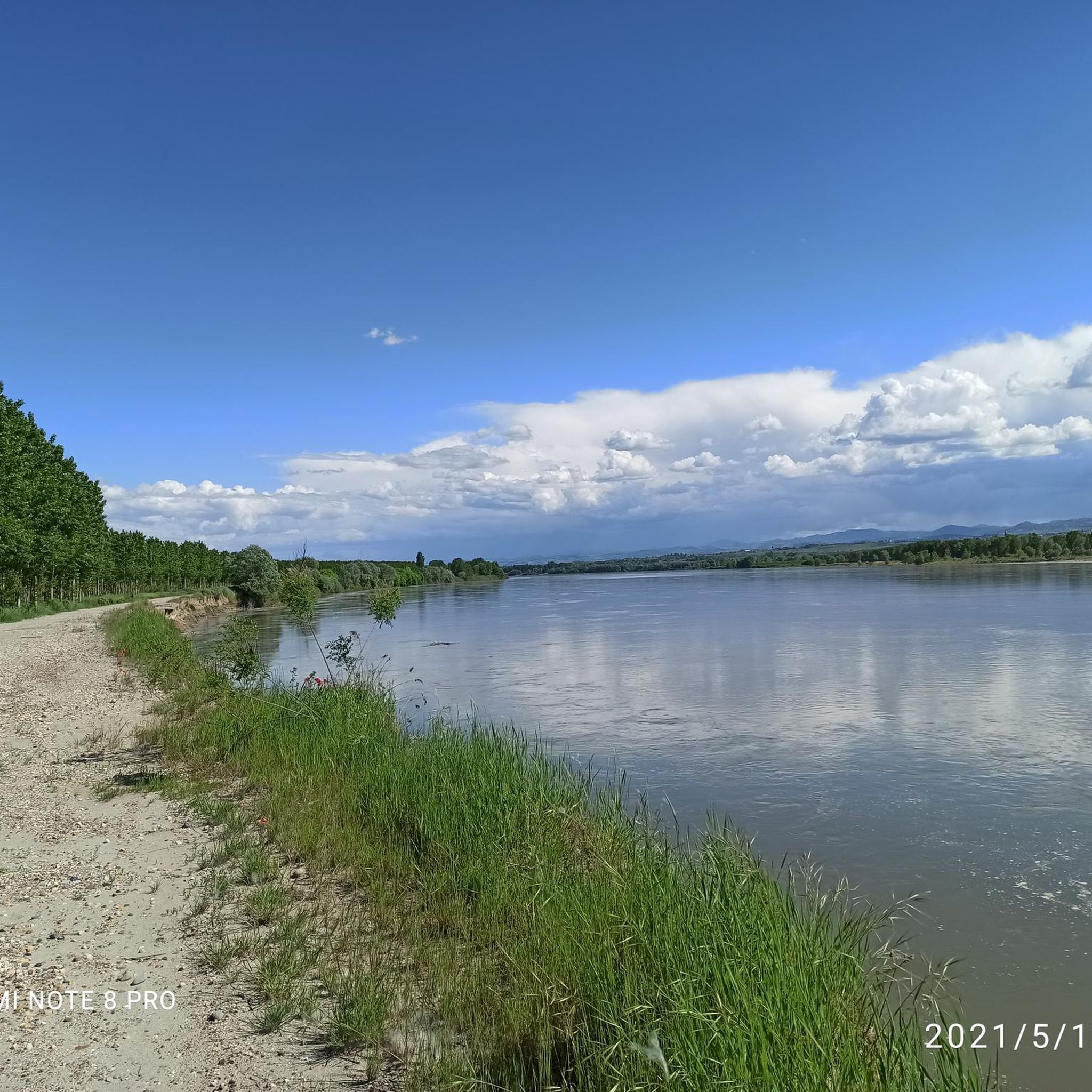
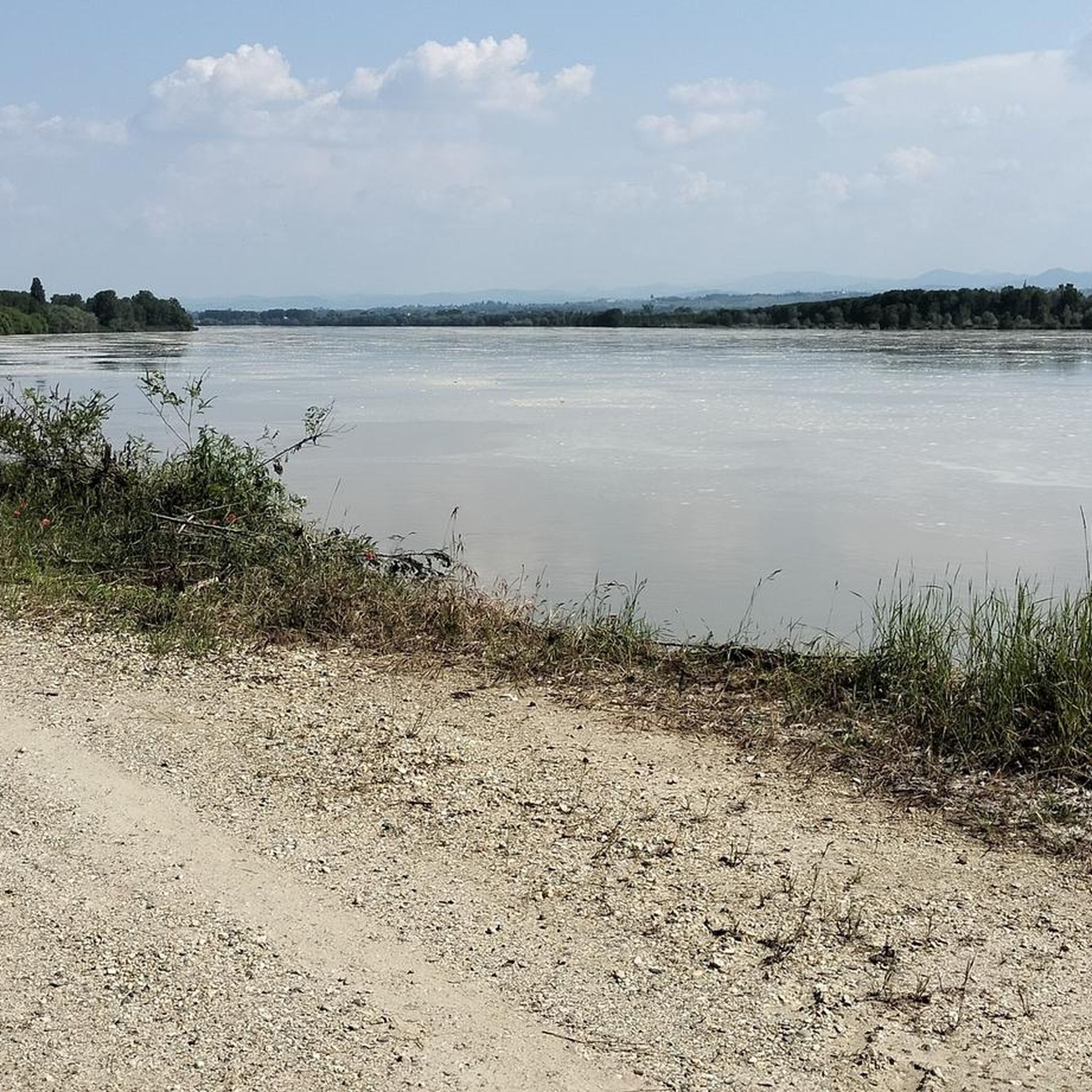
Hiking around San Cipriano Po offers a variety of routes through the flat plains and gently rolling hills of the Lombardy region. The landscape is characterized by agricultural fields, rural paths, and occasional wooded sections, with some routes featuring moderate elevation changes. The area provides opportunities for exploring the countryside, often with views over the surrounding farmlands.
Best hiking trails around San Cipriano Po
- The most popular hiking route is Vaccarizza Loop Trail, a 7.0 miles (11.3 km) trail…
Last updated: June 25, 2026
5.0
(3)
17
hikers
10.4km
02:55
210m
210m
Moderate hike. Good fitness required. Easily-accessible paths. Suitable for all skill levels.
4.8
(4)
5
hikers
Hard hike. Very good fitness required. Easily-accessible paths. Suitable for all skill levels.

Sign up for free
5.0
(1)
3
hikers
6.37km
01:37
10m
10m
Easy hike. Great for any fitness level. Easily-accessible paths. Suitable for all skill levels.
2
hikers
5.02km
01:17
20m
20m
Easy hike. Great for any fitness level. Easily-accessible paths. Suitable for all skill levels.
1
hikers
9.54km
02:37
160m
160m
Moderate hike. Good fitness required. Easily-accessible paths. Suitable for all skill levels.
Get access to more routes and recommendations from other explorers.
Sign up for free
Already have an account?
Our route recommendations are based on thousands of hikes, rides, and runs completed by other people on komoot.
Start today with a free account
Your next adventure awaits.
Login or Signup

Tips from the Community

Ascent from Costa Bianca, very smooth and beautiful. Very little traffic. The asphalt is good.
0
0

In the Colombarone hamlet of Canneto Pavese you can feel an atmosphere of times gone by, where everything seems to have stopped a few decades ago.
2
0

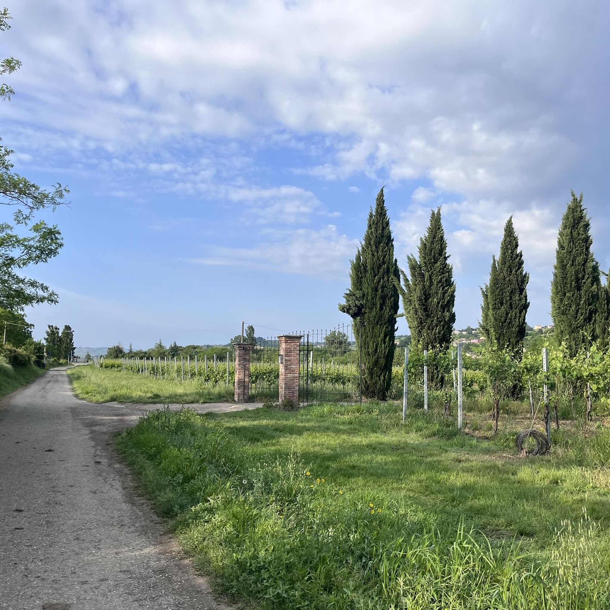
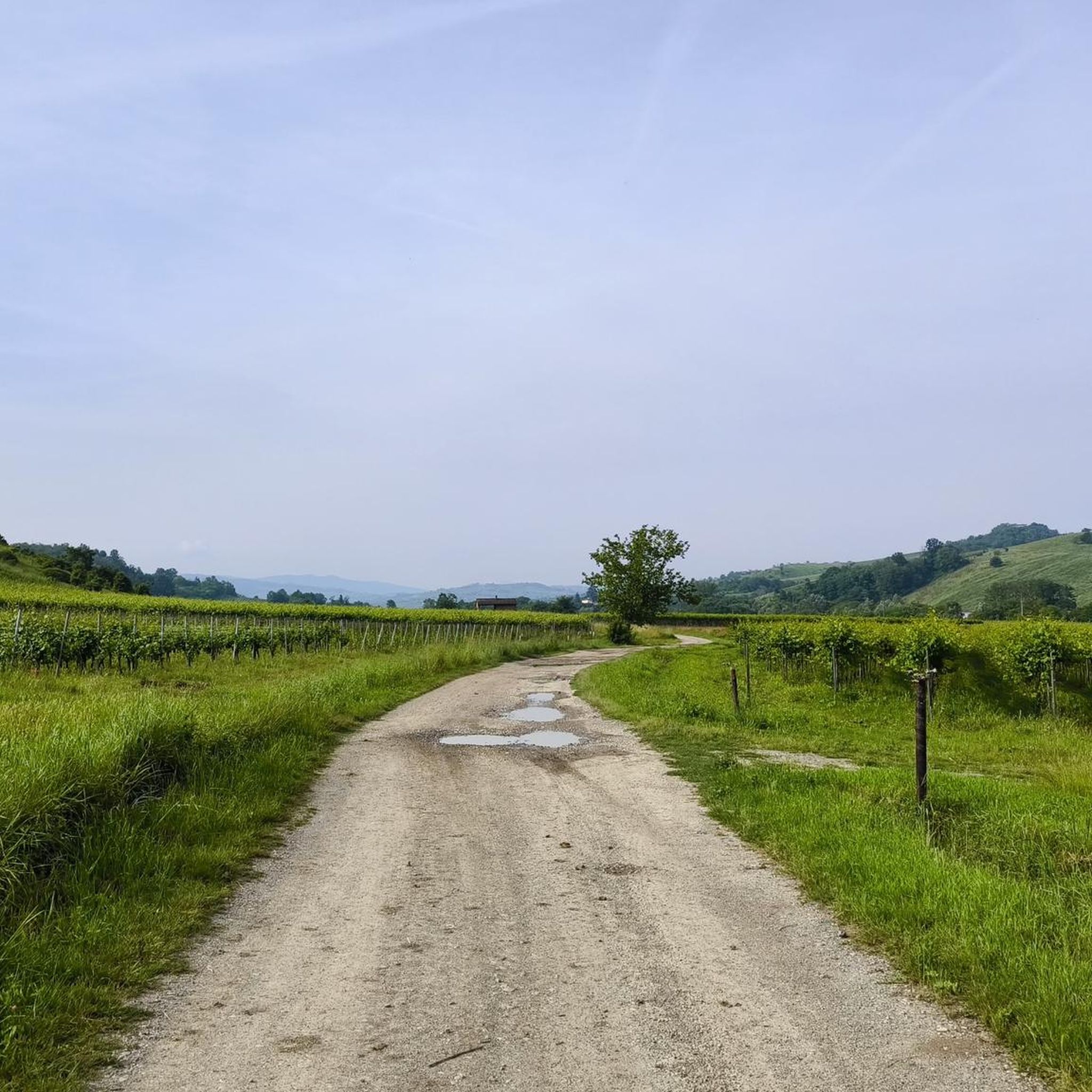
Not far from Castana in the Oltrepò Pavese, in Rocchetta, there is a panoramic view of the underlying valley of the Scuropasso stream and the surrounding hills. In this area, the hilly landscape is characterized by extensive vineyards aligned in long rows.
5
0
Not far from Castana in the Oltrepò Pavese, in Rocchetta, there is a panoramic point overlooking the underlying Scuropasso stream and the surrounding hills. Here the hilly landscape is dominated by long rows of vineyards.
1
0

View towards the Po Valley from Solinga
0
0
View towards Canneto Pavese and the hills on a winter afternoon
0
0

Frequently Asked Questions
How many hiking trails are available around San Cipriano Po?
There are over 80 hiking routes in the San Cipriano Po area, catering to various skill levels. This includes approximately 30 easy trails, over 40 moderate routes, and a few more challenging options for experienced hikers.
Are there easy hiking trails suitable for beginners or families?
Yes, San Cipriano Po offers a good selection of easy trails perfect for beginners or families. For instance, the Hiking loop from Stradella is an easy 3.9-mile (6.2 km) route with minimal elevation gain, ideal for a relaxed walk through the rural landscape.
What is the typical length and duration of hikes in San Cipriano Po?
Hiking trails in San Cipriano Po vary in length. Many popular routes range from 5 to 7 miles (8 to 11 km), typically taking between 2 to 3.5 hours to complete. Shorter, easy walks are also available, as are longer, more challenging routes up to 12 miles (19 km).
When is the best time of year to go hiking in San Cipriano Po?
The best time for hiking in San Cipriano Po is generally during the spring (April to June) and autumn (September to October). During these seasons, the weather is mild and pleasant, and the agricultural landscapes offer beautiful colors. Summer can be hot, while winter might be chilly and damp.
Are dogs allowed on hiking trails around San Cipriano Po?
Generally, dogs are welcome on most hiking trails in the San Cipriano Po area, especially on rural paths and through agricultural fields. However, it's always advisable to keep them on a leash, particularly when passing through cultivated areas or near livestock, and to check for any specific local regulations.
What kind of scenery can I expect while hiking in San Cipriano Po?
The scenery around San Cipriano Po is characterized by the flat plains and gently rolling hills of the Lombardy region. You'll encounter vast agricultural fields, quiet rural paths, and occasional wooded sections. Some routes offer expansive views over the surrounding farmlands and the Po River plain.
What do other hikers enjoy most about hiking in San Cipriano Po?
The area is highly rated by the komoot community, with an average score of 4.3 stars from over 100 reviews. Hikers often praise the peaceful rural atmosphere, the well-maintained paths, and the opportunity to explore the authentic Lombard countryside away from crowded tourist spots.
Are there any circular hiking routes in San Cipriano Po?
Yes, many of the trails around San Cipriano Po are designed as circular routes, allowing you to start and end at the same point. An example is the Vaccarizza Loop Trail, a moderate 7.0-mile (11.3 km) path that brings you back to your starting location.
What interesting landmarks or attractions can I see near the hiking trails?
While hiking, you can explore several historical and cultural attractions. Highlights include the Cicognola Castle and Viewpoint, offering historical insights and scenic vistas. You might also encounter charming religious buildings like the Church of San Michele Arcangelo in Belgioioso or the Church of San Giacomo della Cerreta.
Is parking available at trailheads in San Cipriano Po?
Parking is generally available in or near the villages that serve as starting points for many trails, such as Stradella or Broni. Look for public parking areas in these towns, which are usually well-suited for accessing the surrounding hiking networks.
Can I reach hiking trails in San Cipriano Po using public transport?
Access to some trailheads, particularly those starting from larger towns like Stradella, is possible via public transport, mainly local bus services. However, for more remote starting points, a car is often recommended for convenience and flexibility.
Are there any challenging hikes with significant elevation gain?
While the region is generally known for its gentle terrain, there are routes that offer more significant elevation changes. For example, the Colombarone (Canneto Pavese) loop from Broni is a moderate 5.3-mile (8.5 km) path featuring an elevation gain of over 300 meters, providing more strenuous sections and expansive views.
Most popular routes around San Cipriano Po
Most popular attractions around San Cipriano Po

Get inspired with the komoot mobile app


Explore more
Browse the best Hikes in other regions.
