The best running trails around Marostica
4.0
(38)
1,822
runners
105
runs
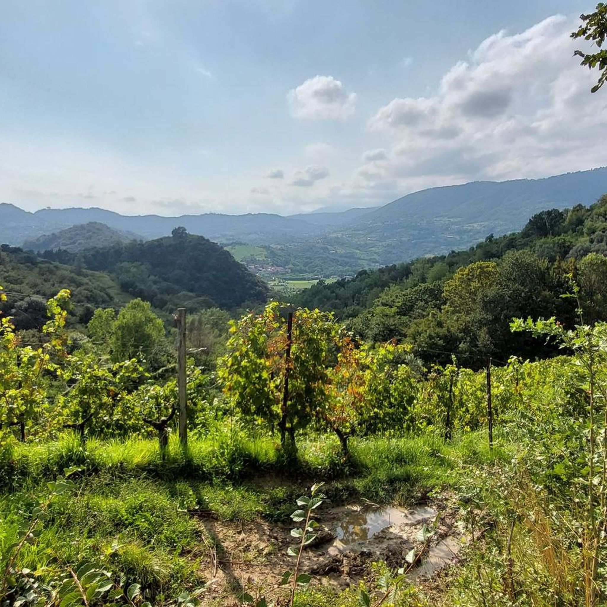
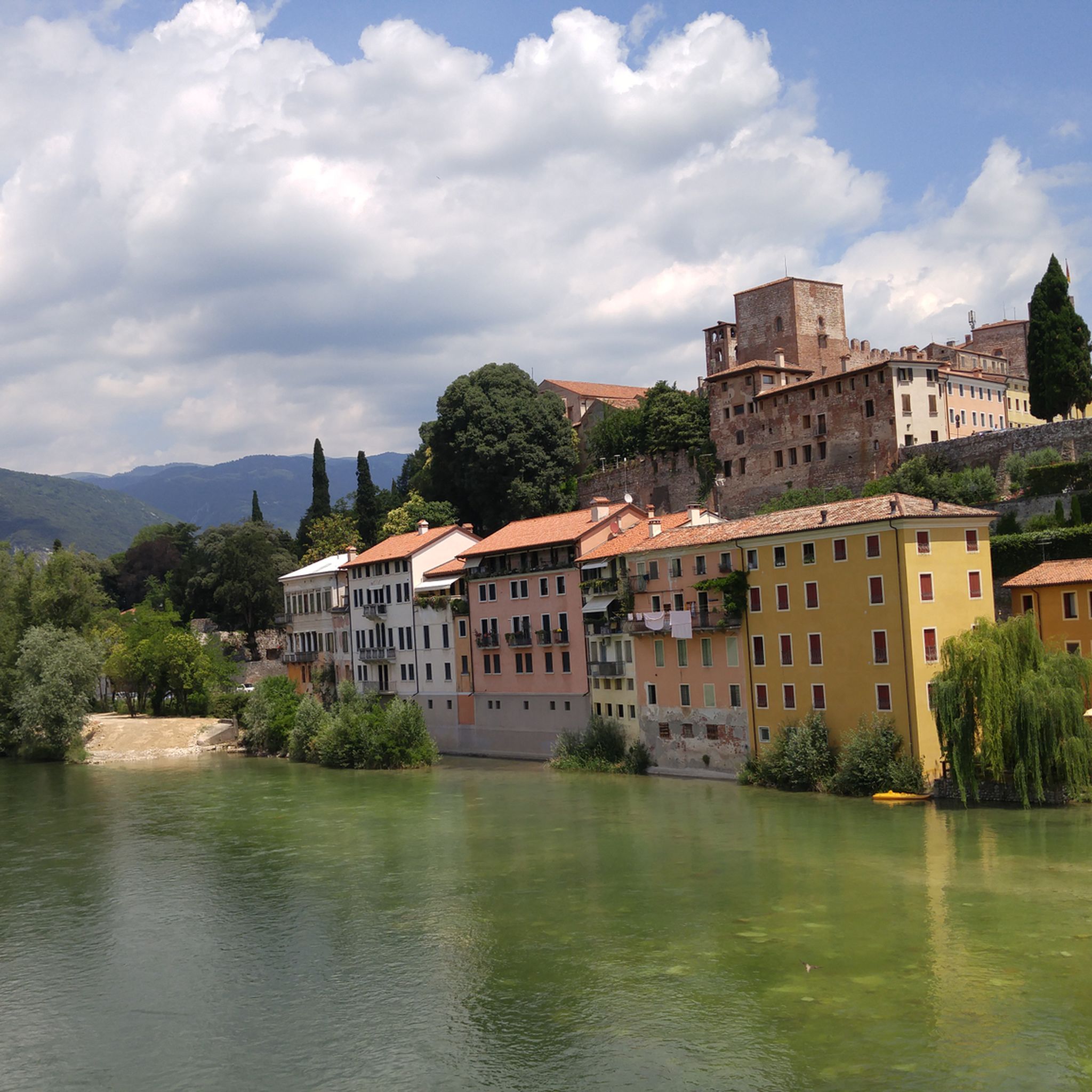
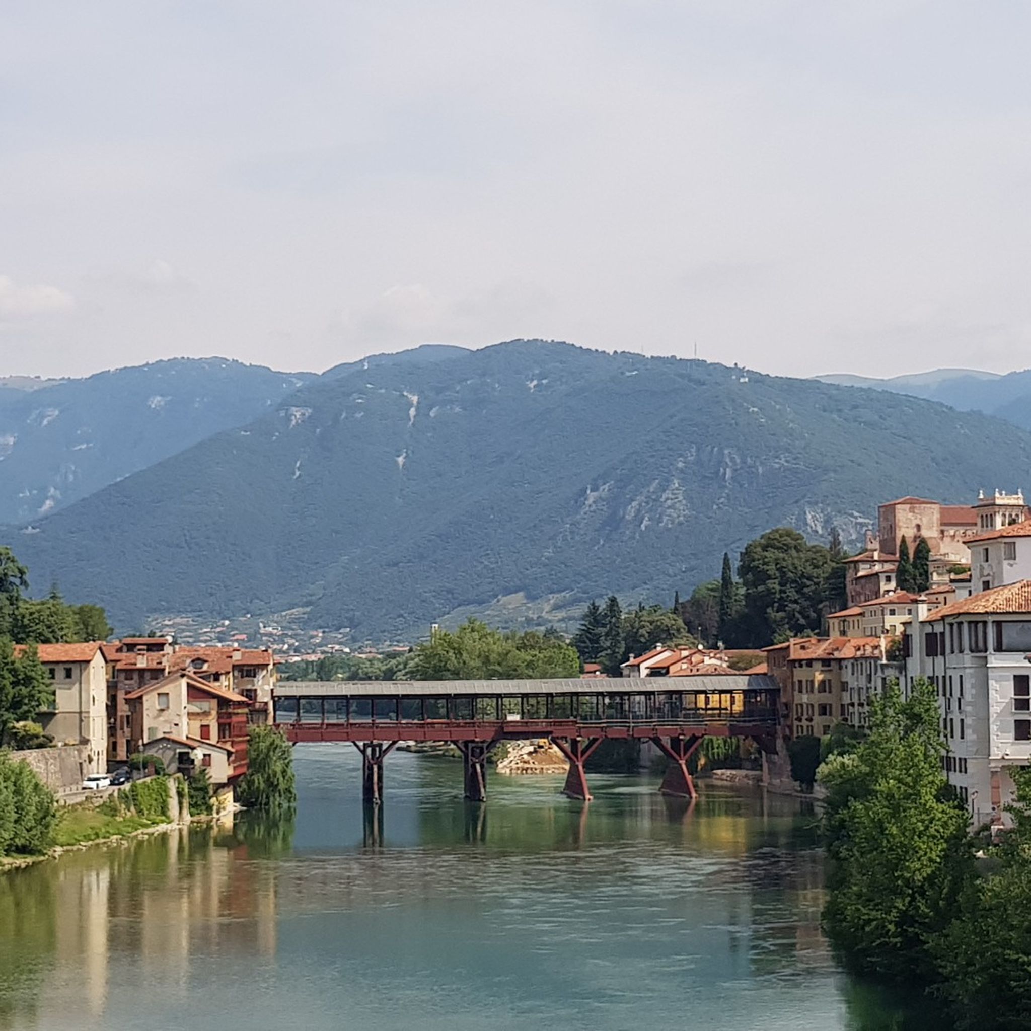
Jogging around Marostica offers diverse terrain, from the flat Veneto plain to the green hills adorned with cherry trees, olive groves, and vineyards. The region is characterized by ancient paths, traditional dry-stone walls, and historical structures like the two castles. This varied landscape provides a range of running experiences, from gentle routes through cultivated terraces to more challenging uphill climbs.
Best jogging routes around Marostica
- The most popular jogging route is Agriturismo al Marosi – Trodo Longo loop from Marostica…
Last updated: September 30, 2026
5.0
(1)
94
runners
20.7km
02:31
610m
610m
Hard run. Very good fitness required. Sure-footedness, sturdy shoes and alpine experience required.
76
runners
20.1km
02:24
560m
560m
Hard run. Very good fitness required. Mostly paved surfaces. Suitable for all skill levels.

62
runners
8.29km
00:53
30m
30m
Moderate run. Good fitness required. Mostly paved surfaces. Suitable for all skill levels.
3.0
(3)
55
runners
9.97km
01:04
60m
60m
Moderate run. Good fitness required. Mostly paved surfaces. Suitable for all skill levels.
52
runners
12.6km
01:51
620m
620m
Hard run. Very good fitness required. Mostly paved surfaces. Suitable for all skill levels.
Get access to more routes and recommendations from other explorers.
Already have an account?
Our route recommendations are based on thousands of hikes, rides, and runs completed by other people on komoot.
Start today with a free account
Your next adventure awaits.

Tips from the Community


Located in the heart of Marostica, Piazza degli Scacchi represents one of the most evocative views in the Veneto region. Also known as Piazza Castello, it owes its fame to the monumental white and pink marble chessboard embedded in the pavement, framed by the imposing city walls and the Lower Castle. This space becomes the protagonist every two years, in September, of the famous Human Chess Game, a historical reenactment in costume that transforms the square into an open-air theatre. Legend tells of a chivalrous challenge in 1454 held for the hand of the noble Lionora, replacing a bloody duel with a contest of wits. Beyond folklore, the square is the beating heart of city life, dominated by the scenic view of the walls that climb up to the Upper Castle.
0
0

Piazza degli scacchi very beautiful
0
0


Very impressive! Good opportunity for refreshment
0
0

The little church of Madonna del Ciclista, in the Pianezzola district of the municipality of Marostica, is a favorite destination for those who cycle in the area. Inside the small building there are some local cycling relics, including some rainbow jerseys.
1
0

In the spring of 1916, when the Austro-Hungarians launched the 'Stafexpedition' in an attempt to invade the Po Valley, the quiet hamlet of Vallonara, like many other towns in the Vicenza foothills, was one of the immediate rear lines of the Asiago Plateau front. This passage was a constant coming and going of men, vehicles, and artillery sent to counter the grave threat, while refugees from the Plateau descended from the mountains in a mournful procession. It is estimated that more than 1,000,000 Royal Army soldiers passed through this point to and from the Plateau. Today, the original inscriptions can still be read on the façade: directions to Asiago, Ortigara, etc., and some service announcements. https://www.visitmarostica.eu/it/vivere/luoghi-da-vedere/comando-tappa/
1
0

Frequently Asked Questions
How many running routes are available around Marostica?
Marostica offers a wide selection of paths for runners, with over 90 routes available. These range from easy strolls through the plains to challenging uphill runs in the green hills.
What kind of terrain can I expect on the jogging trails in Marostica?
The running trails in Marostica feature diverse terrain. You'll find routes through the flat Veneto plain, gentle green hills adorned with cherry trees and vineyards, and paths with traditional dry-stone walls. Some trails offer significant elevation gain, while others are relatively flat, catering to various fitness levels.
Are there any running routes that offer panoramic views or lead to historical landmarks?
Absolutely! Many routes in Marostica provide stunning views and pass by historical sites. For instance, the famous path connecting the Castello Inferiore to the Castello Superiore offers a rewarding uphill challenge with panoramic vistas. You can also explore routes that wind through the walled city or past ancient terraced landscapes. For a challenging run with great views, consider the Trodo Longo – Valle San Floriano loop from Marsan, which explores valleys and hills.
Are there any easy or beginner-friendly running paths in Marostica?
Yes, Marostica has options for beginners. While many routes involve hills, there are easier paths, particularly those that stay closer to the plains or offer gentler inclines. The Walk Under the Rain loop from Marostica is a moderate 5.1-mile (8.3 km) trail that leads through the plains and near the walled city, making it a good option for those looking for a less strenuous run.
Can I find running routes that are suitable for families?
Marostica's network of trails includes options that are suitable for families, especially those looking for less challenging walks or runs. Paths through the cultivated terraces and around the lower parts of the town are generally more accessible. Look for routes described as 'easy' or 'moderate' for family-friendly experiences.
Are there any running trails in Marostica that feature waterfalls or unique natural features?
Yes, the region boasts unique natural features. The Val Costolo is known for its 'masiere' (traditional dry-stone walls), and the Gorghi Scuri is a natural jewel featuring waterfalls, accessible via dedicated routes. While specific komoot routes might not explicitly highlight these, the general area offers opportunities to explore these natural wonders.
What do other runners say about the trails in Marostica?
The running routes in Marostica are highly regarded by the komoot community, with an average rating of 4.3 stars from over 25 reviews. Runners often praise the varied terrain, the historical context, and the beautiful landscapes, from the green hills to the cultivated terraces.
Are there any circular running routes available?
Yes, many of the running routes around Marostica are designed as loops, allowing you to start and finish in the same location. For example, the challenging Agriturismo al Marosi – Trodo Longo loop from Marostica is a popular circular trail through the green hills. Another option is the Gloso Trail North – Monte Gloso West loop from Marostica, which offers a substantial challenge.
What is the best time of year to go running in Marostica?
Marostica is beautiful year-round, but spring and autumn generally offer the most pleasant running conditions with milder temperatures and vibrant scenery. Spring brings the blooming cherry trees, while autumn showcases rich fall colors in the vineyards. Summer can be warm, especially in the plains, so early morning or late evening runs are recommended. Winter running is also possible, with some routes offering shady and suggestive paths like those in Val d'Inverno.
Are there any specific points of interest or attractions I should look out for along the running routes?
Beyond the famous castles and walled city, Marostica's routes often pass by charming rural landscapes, ancient paths, and cultivated terraces. You might encounter highlights such as the Foza–Valstagna Hairpin Road or the Col d'Astiago, which are part of the broader regional network. Some trails also lead to viewpoints offering magnificent panoramas, like the View of Campocroce from Semonzo.
Are dogs allowed on the running trails in Marostica?
Generally, dogs are welcome on many of the natural trails and paths around Marostica, especially in the more rural and hilly areas. However, it's always advisable to keep them on a leash, particularly in cultivated areas or near livestock, and to be mindful of local regulations. Always ensure your dog is well-behaved and that you clean up after them.
Where can I find parking for the running trails in Marostica?
Parking is typically available in and around the town center of Marostica, as well as at various starting points for trails in the surrounding hills. Specific parking information can often be found on individual route descriptions or local tourism websites. For more details on local amenities, you might find information on the Visit Marostica routes page.
Are there any challenging running routes with significant elevation gain?
Yes, Marostica is known for its challenging routes through the green hills. Trails like the Sette Trail – Tortima loop from Marostica feature substantial elevation gain, making them ideal for runners seeking a demanding workout with rewarding views.
Most popular routes around Marostica
Most popular attractions around Marostica

Get inspired with the komoot mobile app


Explore more
Browse the best Running Trails & Routes in other regions.
