The best mountain hikes around Villanders - Villandro
4.7
(83)
889
hikers
55
hikes
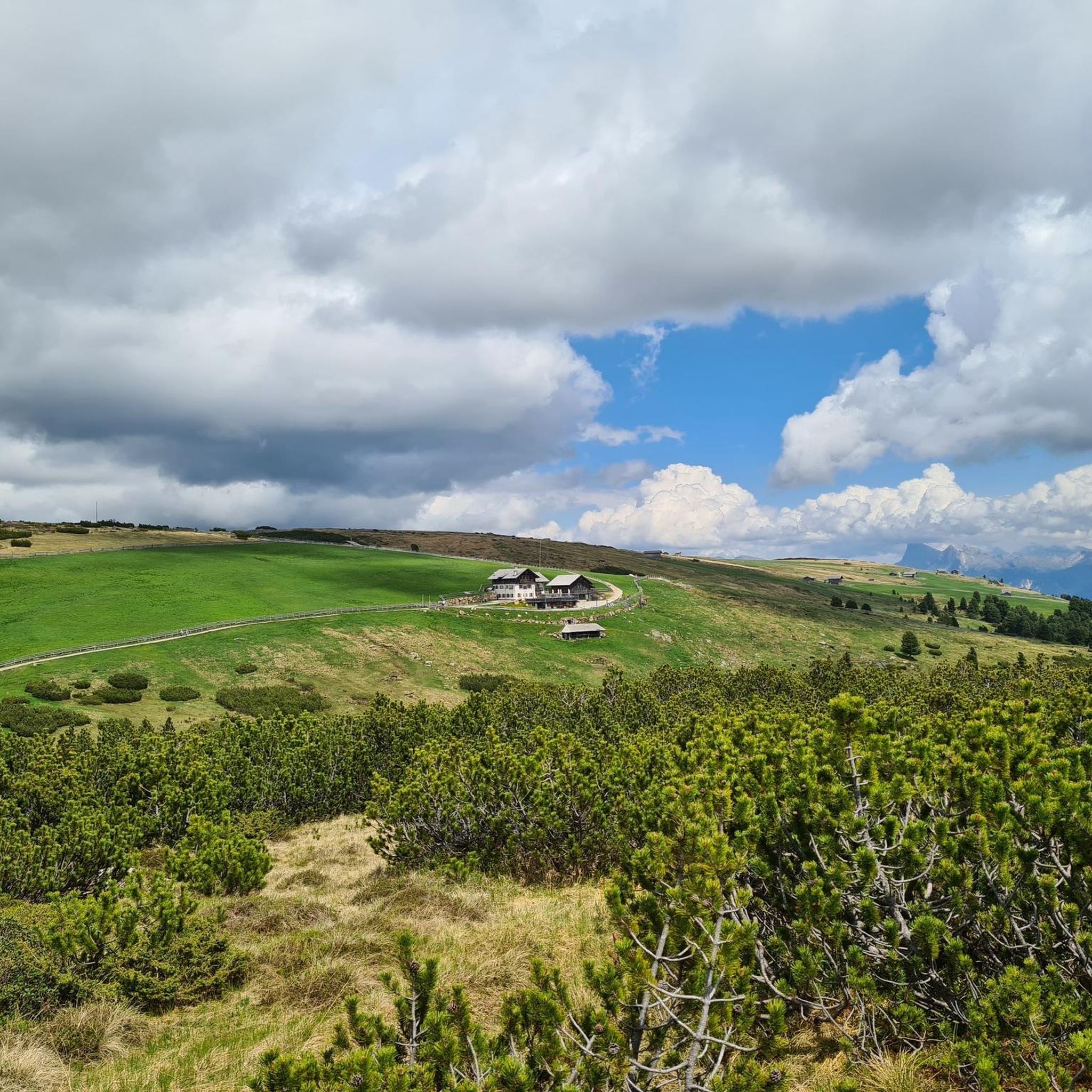
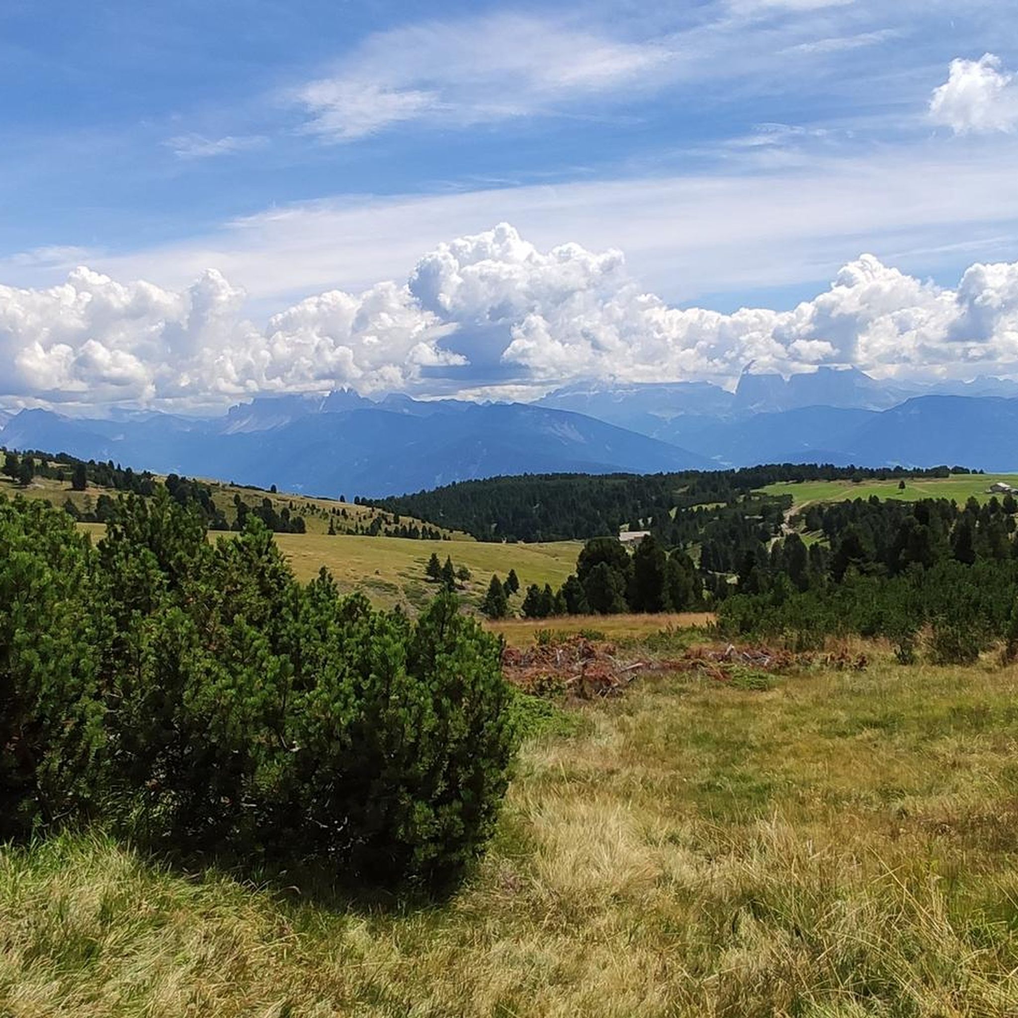
Mountaineering routes around Villanders - Villandro offer diverse terrain within South Tyrol, Italy. The region is characterized by the dramatic backdrop of the Dolomites, a UNESCO World Natural Heritage site, and the expansive Valle Isarco. High alpine pastures, such as the Villanderer Alm, feature lush meadows, moorlands, and rolling grass-covered mountain knolls. Elevations range from lower slopes with coniferous forests to higher altitudes dominated by Swiss and mountain pines, providing varied climbing environments.
Best mountaineering routes around Villanders - Villandro
- The most popular mountaineering route is Kassianspitze Summit – Latzfonser Kreuz Mountain Hut loop from Kasereck, a 6.3 miles (10.2 km) trail that takes 4 hours 27 minutes to complete. This difficult route offers summit views and leads to a mountain hut.
- Another top favourite among local mountaineers is Totenkirchl on the Toter Rücken – Pfroderalm loop from Villanders - Villandro, a moderate 6.8 miles (11.0 km) path. This route explores the area around Totenkirchl and traverses alpine pastures.
- Local mountaineers also love the Mountain Pine Trail – Lago dei Morti loop from Stausee Bodenverbesserungskonsortium Villanders - Bacino idrico del Consorzio per il miglioramento del suolo di Villandro, a 9.2 miles (14.9 km) trail leading through moorland and offering Dolomites vistas, often completed in about 5 hours 34 minutes.
- Mountaineering around Villanders - Villandro is defined by rugged Dolomite peaks, extensive high alpine pastures, and dense coniferous forests. The network offers options for various ability levels, from moderate ascents to challenging alpine experiences.
- The routes in Villanders - Villandro are highly rated by the komoot community with an average score of 4.8 stars from over 80 reviews. Nearly 1000 mountaineers have used komoot to explore Villanders - Villandro's varied terrain.
Last updated: July 7, 2026
5.0
(2)
29
hikers
10.2km
04:26
720m
720m
Hard mountaineering route. Good fitness required. Sure-footedness, sturdy shoes and alpine experience required.
4.7
(3)
39
hikers
10.7km
03:28
450m
450m
Moderate mountaineering route. Good fitness required. Mostly accessible paths. Sure-footedness required.

Sign up for free
31
hikers
14.9km
05:34
760m
760m
Hard mountaineering route. Very good fitness required. Mostly accessible paths. Sure-footedness required.
4.8
(4)
23
hikers
Moderate mountaineering route. Good fitness required. Mostly accessible paths. Sure-footedness required.
23
hikers
Hard mountaineering route. Very good fitness required. Mostly accessible paths. Sure-footedness required.
Get access to more routes and recommendations from other explorers.
Sign up for free
Already have an account?
Our route recommendations are based on thousands of hikes, rides, and runs completed by other people on komoot.
Start today with a free account
Your next adventure awaits.
Login or Signup
Popular around Villanders - Villandro
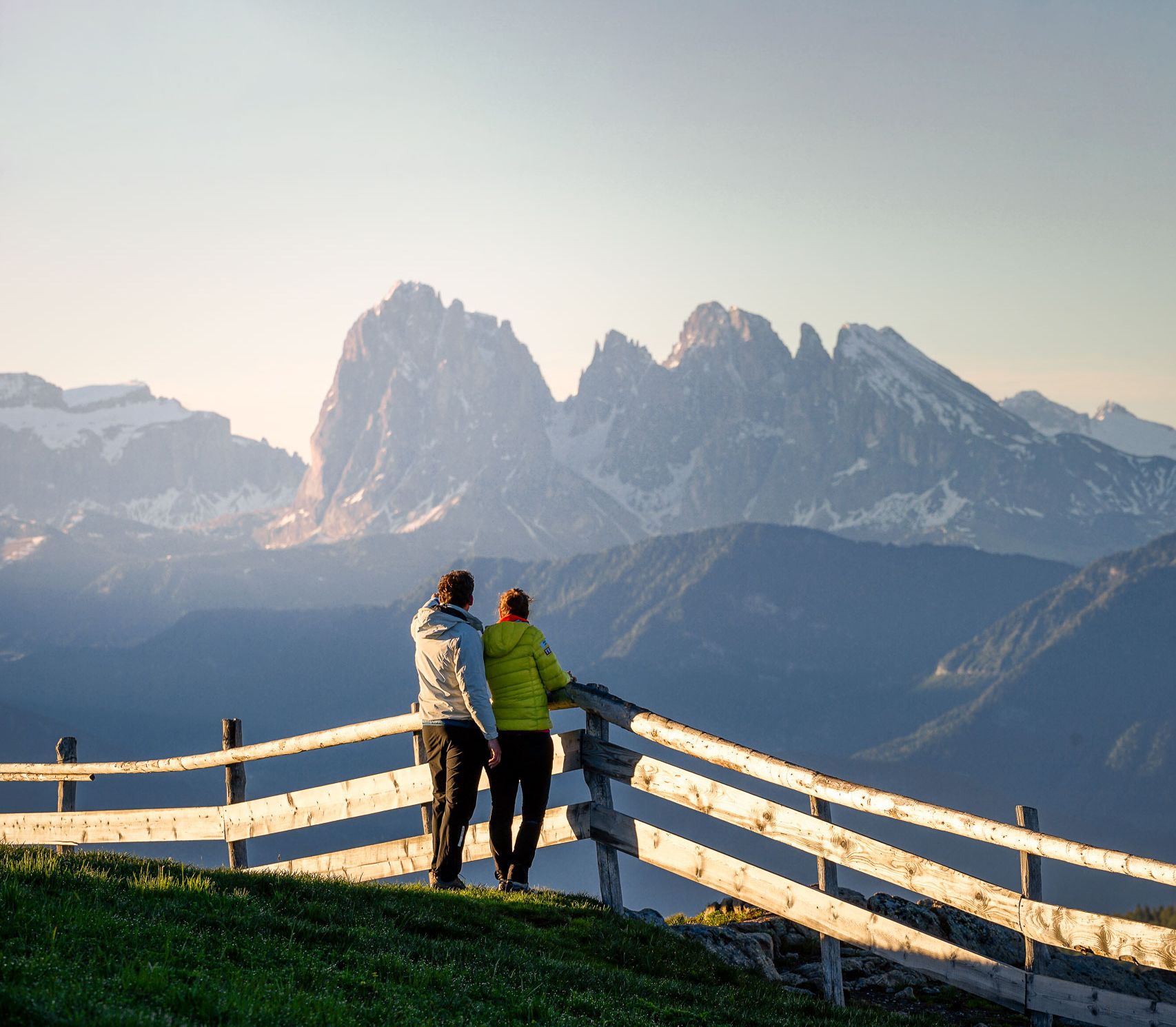
Pure hiking paradise – the most beautiful hikes around Italy’s Klausen
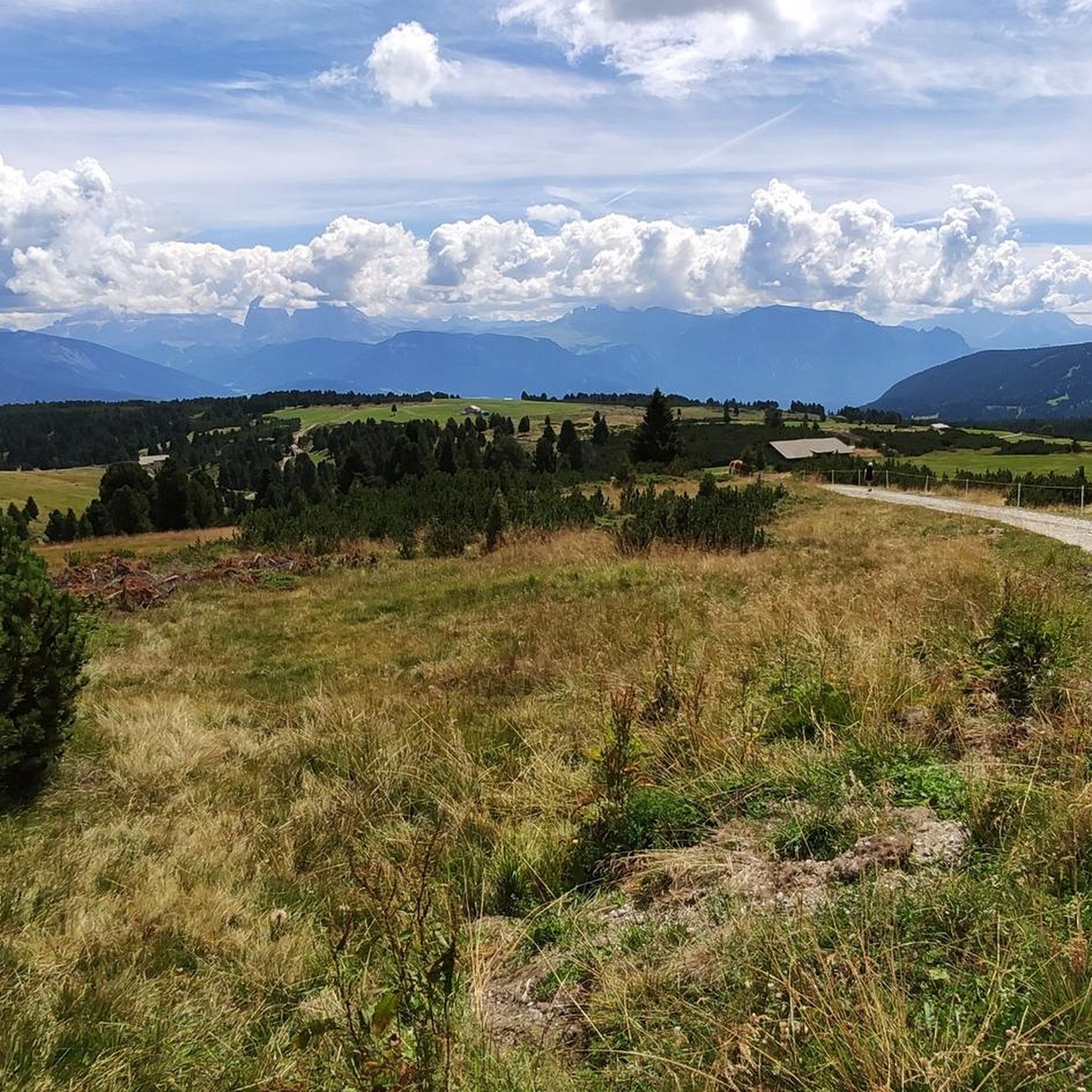
Hiking around Villanders - Villandro
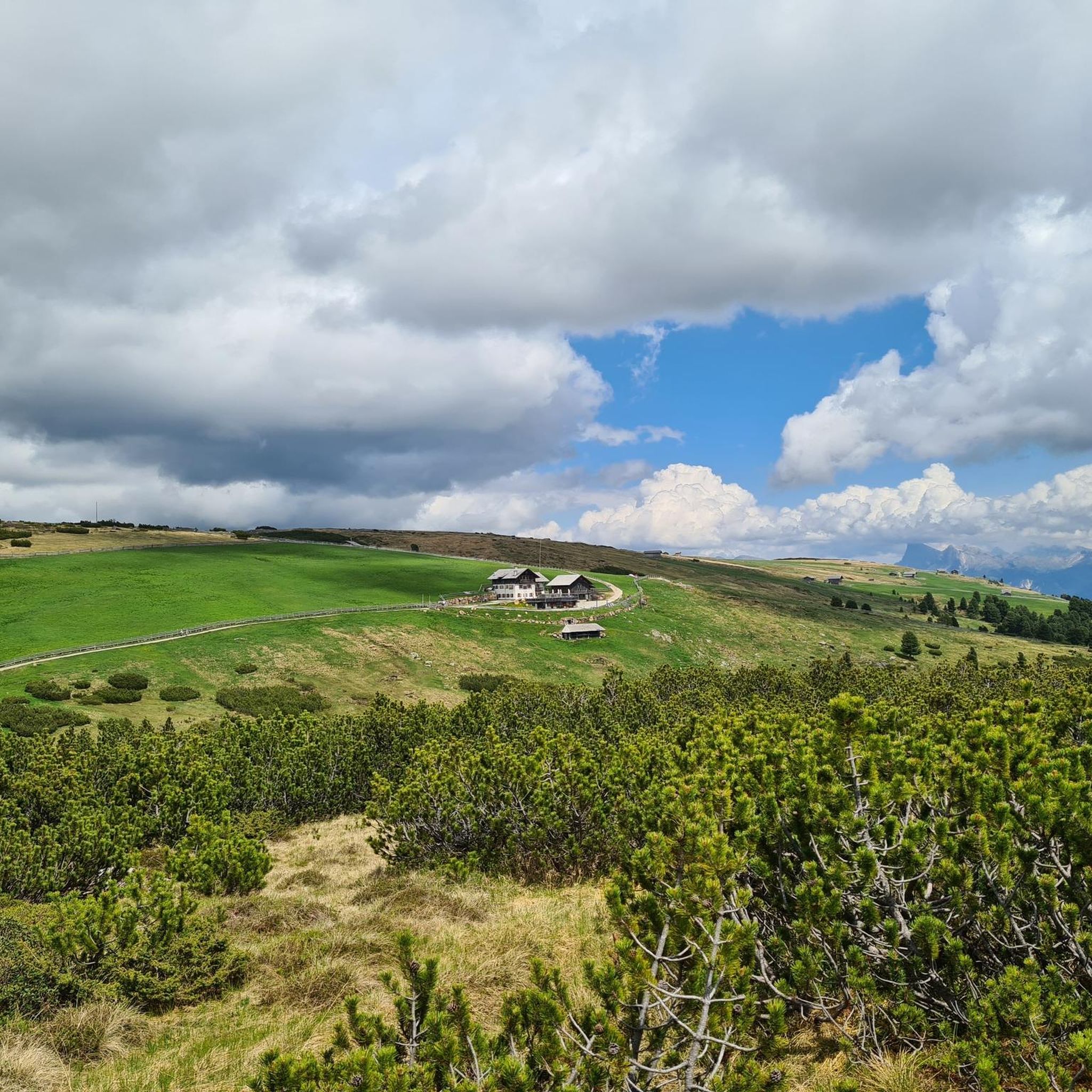
Road Cycling Routes around Villanders - Villandro
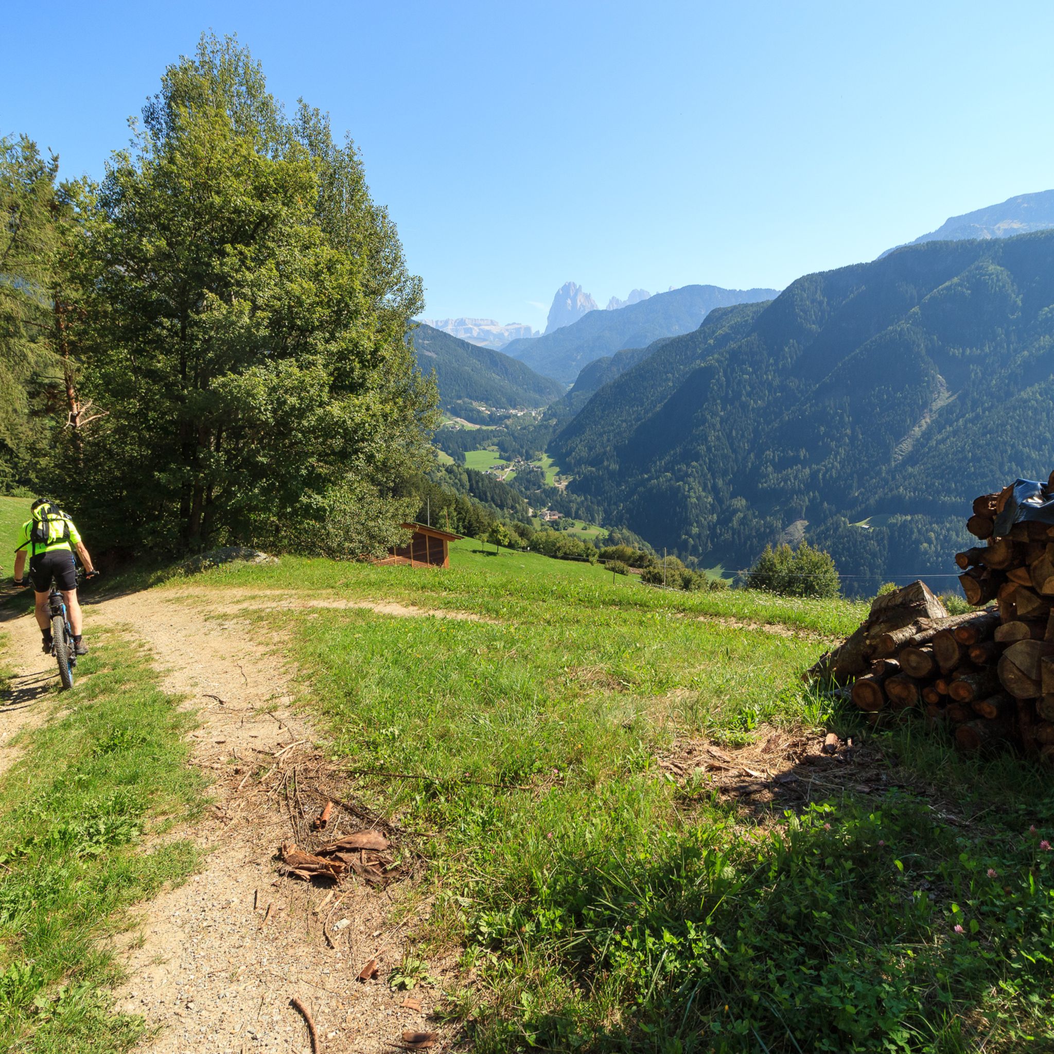
MTB Trails around Villanders - Villandro
Cycling around Villanders - Villandro
Running Trails around Villanders - Villandro
Gravel biking around Villanders - Villandro
Other adventures around Villanders - Villandro

Tips from the Community

a very special place.
0
0


Outstanding panoramic views (in the truest sense) stretching from the Tyrolean mountains to the Dolomites. The climb is quite steep in places, and the ground is loose and rocky, but with a bit of stamina, it's technically no problem.
0
0

Nestled above Ponte Gardena and the Isarco River, Barbiano is known for its slightly leaning bell tower and its woods full of delicious chestnuts. Among others, Goethe stopped here during his trip to Italy. There are numerous hiking and off-road cycling trails in the municipality.
1
0

A very beautiful path up to the waterfalls
0
0
A great natural spectacle! The path was renewed this year and is very easy to walk
1
0

A welcome cooling off, especially in summer, and it's healthy too...
0
0
Frequently Asked Questions
How many mountaineering routes are available around Villanders - Villandro?
There are over 60 mountaineering routes around Villanders - Villandro, offering a wide range of experiences. These include 1 easy route, 30 moderate routes, and 33 difficult routes, catering to various skill levels.
What kind of terrain can I expect on mountaineering routes in Villanders - Villandro?
Mountaineering in Villanders - Villandro offers incredibly diverse terrain. You'll traverse lush meadows and moorlands on the expansive Villanderer Alm, climb through dense coniferous forests, and ascend to higher altitudes dominated by Swiss and mountain pines. The dramatic backdrop of the Dolomites, a UNESCO World Natural Heritage site, is a constant feature, providing rugged peaks and stunning vistas.
Are there any circular mountaineering routes in Villanders - Villandro?
Yes, many routes in the region are designed as loops, allowing you to experience varied landscapes without retracing your steps. For example, the Totenkirchl on the Toter Rücken – Pfroderalm loop from Villanders - Villandro is a moderate 6.8-mile path exploring alpine pastures, and the Mountain Pine Trail – Lago dei Morti loop offers a longer, difficult option through moorland with Dolomites vistas.
Are there any mountaineering routes that feature waterfalls?
Yes, you can find routes that include beautiful waterfalls. A notable option is the Second Waterfall – Upper Barbian Waterfall loop from Barbian - Barbiano, a moderate 3-mile route that takes you past impressive cascades.
What are some challenging mountaineering routes in the area?
For those seeking a challenge, Villanders - Villandro offers several difficult routes. The Kassianspitze Summit – Latzfonser Kreuz Mountain Hut loop from Kasereck is a popular difficult trail, spanning 6.3 miles with significant elevation gain and rewarding summit views. Another demanding option is the Summit cross at Sarner Scharte – Sarner Col (2,460 m) loop, which covers 5.3 miles with over 900 meters of ascent.
What do other mountaineers enjoy most about the routes in Villanders - Villandro?
The mountaineering routes in Villanders - Villandro are highly rated by the komoot community, with an average score of 4.8 stars from over 80 reviews. Mountaineers often praise the stunning panoramic views of the Dolomites, the diverse landscapes ranging from alpine pastures to dense forests, and the well-maintained trails that cater to various difficulty levels.
Are there mountain huts along the mountaineering routes for rest and refreshment?
Absolutely. The alpine pastures are dotted with numerous traditional mountain huts (Almhütten) that provide excellent opportunities for rest, refreshment, and enjoying authentic local cuisine. You can find highlights like the Latzfonser Kreuz Pilgrimage Church and Mountain Hut or the Puflatsch Hut, offering welcoming stops during your mountaineering adventures.
What are some notable landmarks or viewpoints I can discover while mountaineering?
The region is rich in landmarks and viewpoints. You'll encounter breathtaking Dolomites panoramas from various points, especially from the Villanderer Alm. Historical sites like the Totenkirchl are integrated into routes, and peaks like Monte Villandro offer splendid all-round views. Mountain passes such as Panidersattel / Passo Pinei (1437 m) also provide fantastic vistas.
Can I find family-friendly mountaineering options in Villanders - Villandro?
While many routes are challenging, the region does offer options suitable for families, particularly on the extensive Villanderer Alm. These often involve gentler ascents and shorter distances, allowing families to enjoy the stunning alpine scenery and lush meadows. Look for routes described as 'easy' or 'moderate' with shorter durations.
What is the best season for mountaineering in Villanders - Villandro?
The best season for mountaineering typically runs from late spring through early autumn (May to October), when trails are clear of snow and weather conditions are generally stable. During these months, you can fully appreciate the blooming meadows, lush forests, and clear views of the Dolomites. Winter offers opportunities for snowshoeing and ski touring, but requires specialized equipment and experience.
Are there any specific natural features that make mountaineering unique here?
The Villanderer Alm, Europe's largest alpine pasture, is a defining natural feature, characterized by its vast green meadows, unique moorlands, and rolling grass-covered knolls. The diverse flora, transitioning from sweet chestnuts and vineyards at lower elevations to majestic Swiss and mountain pines at higher altitudes, also adds a unique sensory experience to the mountaineering routes.
Are there options for parking near the trailheads?
Yes, many popular trailheads and starting points for mountaineering routes in and around Villanders - Villandro offer designated parking areas. It's advisable to check specific route descriptions or local tourist information for details on parking availability and any potential fees for your chosen starting point.
Most popular routes around Villanders - Villandro
Most popular attractions around Villanders - Villandro

Get inspired with the komoot mobile app


Explore more
Browse the best Mountain Hikes & Routes in other regions.
