The best walks and hikes around Tronzano Vercellese
4.5
(410)
1,969
hikers
99
hikes
Hiking around Tronzano Vercellese offers routes through the flat agricultural plains of the Vercelli province in Italy. The landscape is characterized by extensive rice paddies and a network of watercourses, including the Canale Cavour. While predominantly flat, the wider region features gentle rolling hills, providing varied terrain for outdoor activities. These Tronzano Vercellese hiking trails allow for exploration of both natural and historical elements.
Best hiking trails around Tronzano Vercellese
- The most popular hiking route is Santhià - Via Francigena…
Last updated: July 1, 2026
5.0
(1)
5
hikers
7.82km
01:59
10m
10m
The Santhià - Via Francigena Loop is an easy 4.9-mile hike through agricultural landscapes and historic sites near Santhià.
1
hikers
12.3km
03:08
40m
40m
Hike the moderate 7.7-mile Buon Cammino 5 Trail in Santhià, offering 118 feet of elevation gain and taking around 3 hours.

Sign up for free
4.6
(49)
246
hikers
Hard hike. Very good fitness required. Easily-accessible paths. Suitable for all skill levels.
5.0
(2)
10
hikers
Moderate hike. Good fitness required. Easily-accessible paths. Suitable for all skill levels.
5.0
(1)
8
hikers
11.7km
02:59
40m
40m
Moderate hike. Good fitness required. Easily-accessible paths. Suitable for all skill levels.
Get access to more routes and recommendations from other explorers.
Sign up for free
Already have an account?
Our route recommendations are based on thousands of hikes, rides, and runs completed by other people on komoot.
Start today with a free account
Your next adventure awaits.
Login or Signup
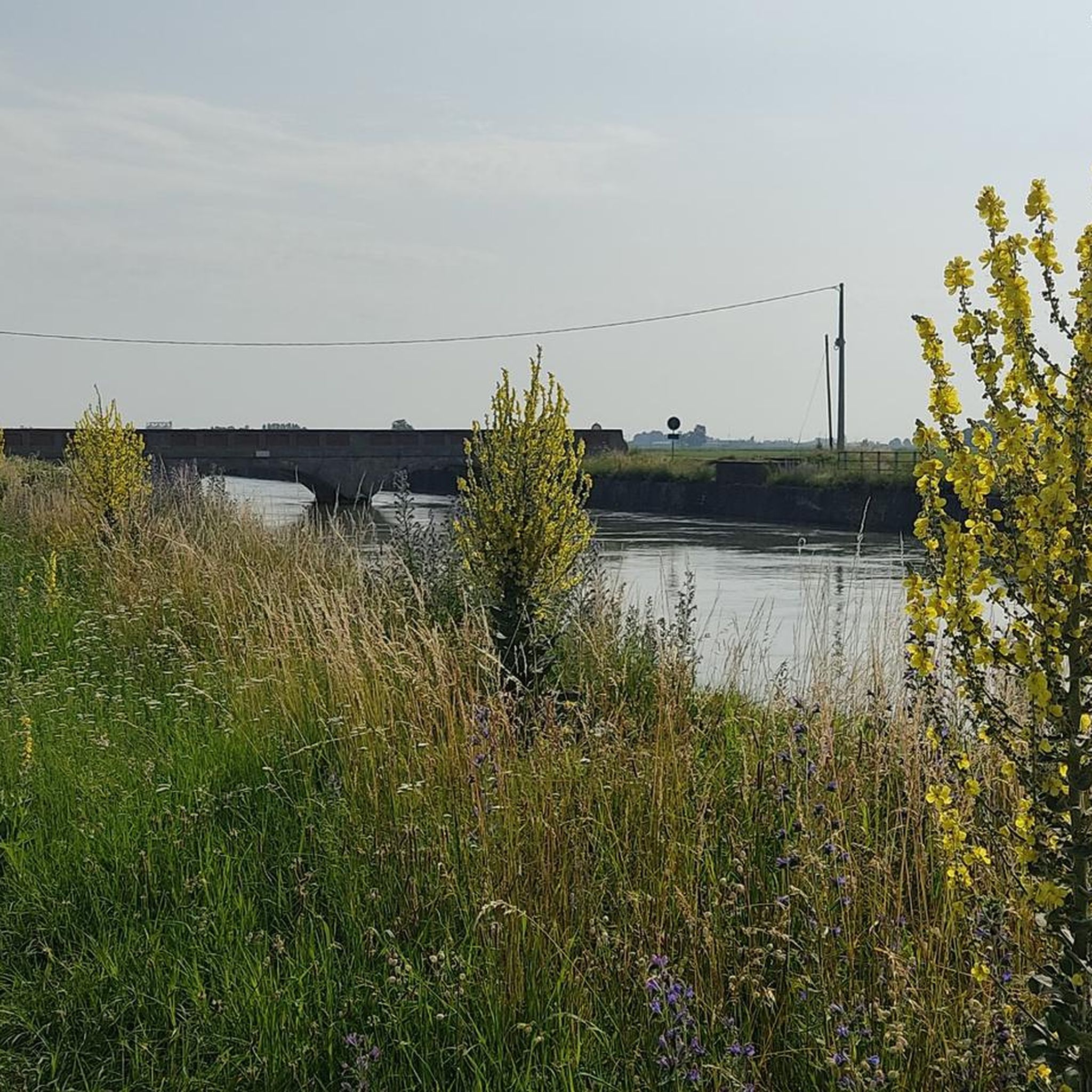
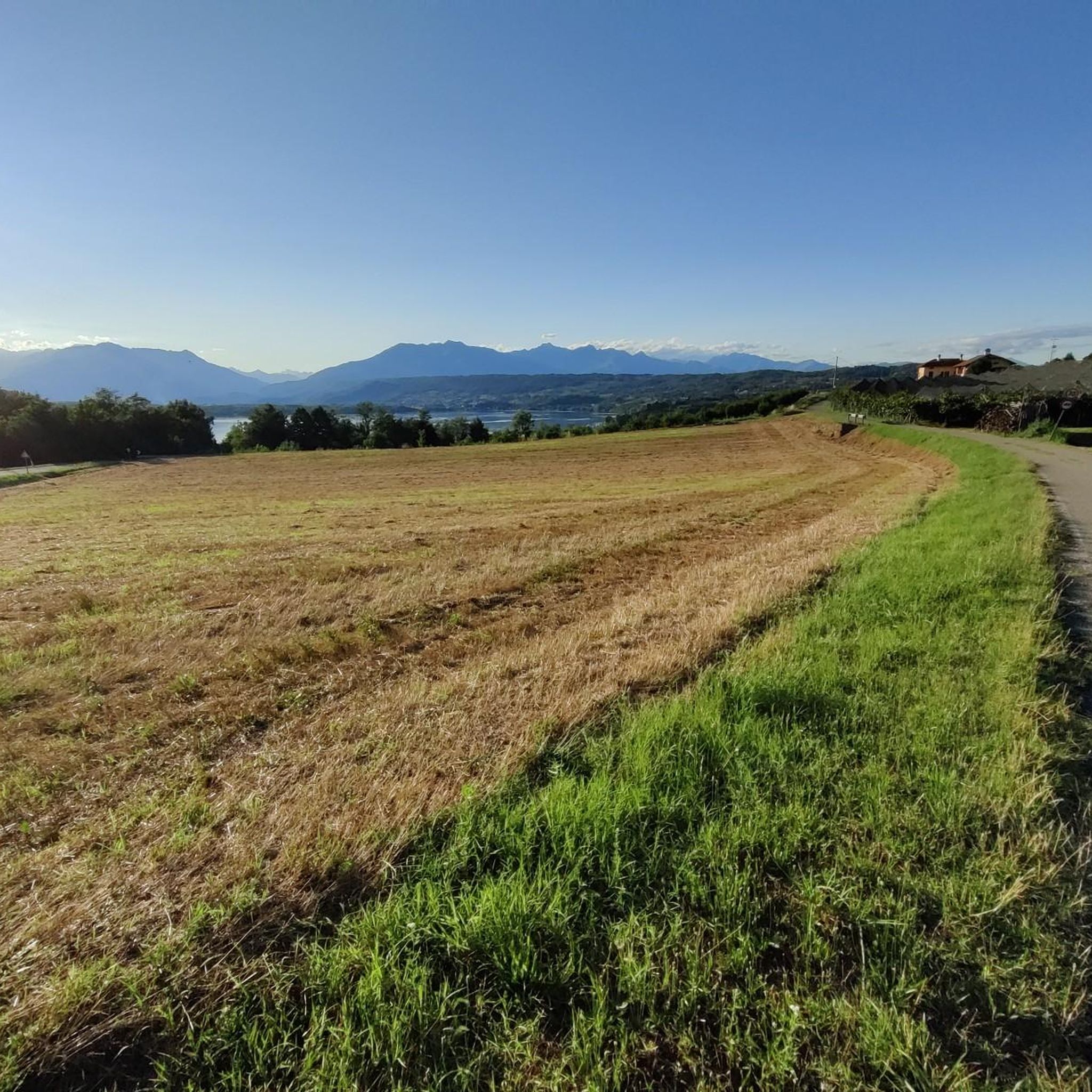
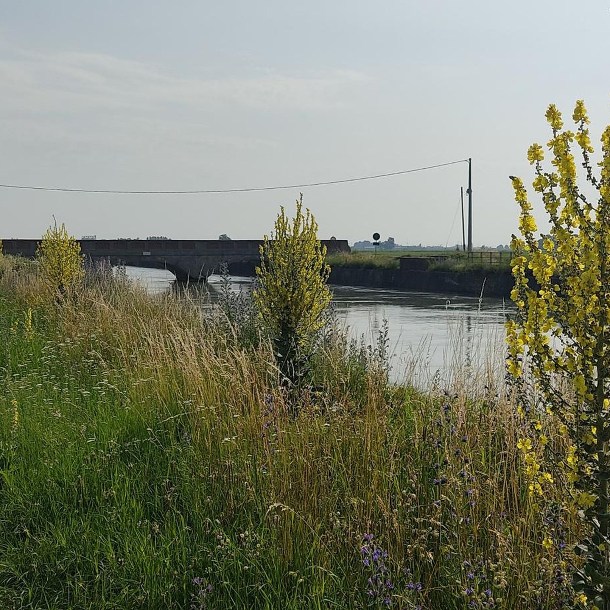
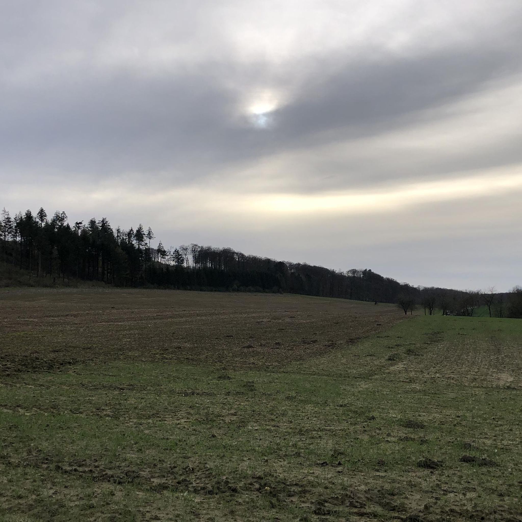
Tips from the Community

Rest stop offered by the Palestrina farmhouse
0
0

It allows you to do what you want, that is, speed and relaxation, while admiring some good views.
0
0

The Collegiata di Sant’Agata in Santhià, a comune in the province of Vercelli, Piedmont, Italy, is an impressive church located in the central Piazza Roma, not far from the town hall. Although the original Romanesque building from the 12th century has now disappeared, there are still remains of the northern exterior, the semicircular apse and the stone bell tower. The present church, designed by architect Giuseppe Talucchi, was built between 1836 and 1839 in Neoclassical style. The facade is characterized by a large pronao, supported by six columns, with vaults painted by the artist Luigi Hartmann. Inside is a valuable polittico by Gerolamo Giovenone.
5
0
The Collegiata di Sant'Agata in Santhià, a municipality in the province of Vercelli, Piedmont, is an impressive church located in the central Piazza Roma, not far from the town hall. Although the original 12th century Romanesque building has now disappeared, remains of the northern exterior, semi-circular apse and stone bell tower still remain. The current church, designed by architect Giuseppe Talucchi, was built between 1836 and 1839 in a neoclassical style. The facade is characterized by a large pronao, supported by six columns, with vaults painted by artist Luigi Hartmann. Inside is a valuable polittico by Gerolamo Giovenone.
5
0
Beautiful square, with the town hall, the Duomo Di Sant'Agata and the Amici Della Via Francigena.
6
0

Beautiful little square. Here is the hostel for the Via Francigena. Stra recommended for services and availability of managers.
2
0
Gravel road towards Santhià. Very wide and compact bottom.
3
0

This is the fascinating parish of the city of Santhià inside which is the Romanesque crypt. The frescoes inside are worth a look, beautiful and well preserved.
2
0
Frequently Asked Questions
What kind of landscape can I expect when hiking around Tronzano Vercellese?
Tronzano Vercellese is characterized by its flat agricultural plains, dominated by extensive rice paddies and a dense network of watercourses. You'll encounter canals like the Canale Cavour, which was built to support agriculture. While the immediate area is flat, the wider Vercelli region offers gentle rolling hills, providing a varied experience for hikers.
How challenging are the hiking trails in Tronzano Vercellese?
The trails around Tronzano Vercellese are generally easy to moderate, with minimal elevation gain. Out of 88 available routes, 40 are classified as easy and 43 as moderate, making them accessible for various fitness levels. For example, the Santhià - Via Francigena Loop is an easy 7.8 km route, while the Buon Cammino 6 Trail is a moderate 9 km path with very little ascent.
Are there any circular hiking routes in the area?
Yes, there are several circular routes available. A popular option is the Santhià - Via Francigena Loop, which takes you through agricultural landscapes and historical sites. Many trails are designed to bring you back to your starting point, offering convenient exploration of the region.
What interesting landmarks or natural features can I see along the trails?
Hiking in Tronzano Vercellese allows you to discover both natural and historical elements. You can explore the significant Canale Cavour, an artificial canal crucial for rice cultivation. Nearby attractions include Lake Bertignano, formed after the retreat of the Balteo glacier, and historical sites like the Sanctuary of Santa Maria della Cella, nestled within the woods.
When is the best time of year to go hiking in Tronzano Vercellese?
The best time to visit Tronzano Vercellese for hiking is generally during spring and autumn. These seasons offer pleasant temperatures for walking and allow you to witness the rice paddies in various stages of cultivation, from flooded fields to lush green growth, or golden hues before harvest. Summer can be warm, while winter might be chilly and damp.
Are the hiking trails in Tronzano Vercellese suitable for families or dogs?
Many of the trails in Tronzano Vercellese are well-suited for families due to their generally flat and easy to moderate terrain. The open landscapes and canal paths provide safe walking environments. Dogs are generally welcome on trails, but it's always advisable to keep them on a leash, especially when passing through agricultural areas or near wildlife, and to respect local regulations.
Where can I park my car when visiting the hiking trails?
While specific parking areas for each trail are not always explicitly marked in general information, Tronzano Vercellese is a small town, and you can typically find parking in or near the town center. For routes starting from neighboring municipalities like Santhià, designated parking is often available near trailheads or public spaces. It's recommended to check local signage upon arrival.
Can I reach the hiking trails using public transport?
Tronzano Vercellese is connected by regional public transport, including train services. While you can reach the town, direct public transport links to specific trailheads might be limited. It's best to plan your route in advance and check local bus or train schedules to see how close they get you to your desired starting point.
What do other hikers enjoy most about hiking in Tronzano Vercellese?
The area is highly rated by the komoot community, with an average score of 4.5 stars from over 388 reviews. Hikers often praise the tranquil atmosphere, the unique scenery of the rice paddies and canals, and the accessibility of the trails for a relaxing outdoor experience. The blend of natural beauty and historical elements also receives positive feedback.
Are there any longer routes for experienced hikers?
While the region is known for its easier walks, there are longer routes available for those seeking more distance. For example, the Buon Cammino 5 Trail covers 12.3 km through rice paddies and water systems. For a more challenging, longer day out, the Gravel Road to Santhià – Parish of Saint Agatha loop from Ristorante Piccadilly is a difficult 26.8 km route.
Are there places to eat or stay near the hiking trails?
Tronzano Vercellese, as a local town, offers some amenities including cafes and restaurants where you can find refreshments and local cuisine. For accommodation, you might find guesthouses or agriturismi (farm stays) in the immediate area or in nearby towns, providing a base for your hiking adventures. It's advisable to check availability in advance, especially during peak seasons.
Most popular routes around Tronzano Vercellese
Most popular attractions around Tronzano Vercellese

Get inspired with the komoot mobile app


Explore more
Browse the best Hikes in other regions.
