The best cycling routes around Tambre
4.5
(630)
8,010
riders
25
rides
Touring cycling routes around Tambre traverse diverse landscapes in the Veneto region, characterized by the extensive Cansiglio Forest, serene lakes, and the Valbelluna area. The terrain includes wide gravel roads, forest trails, and some unpaved segments, offering varied cycling experiences. Routes often feature significant elevation gains, particularly in the forest and plateau areas. This region provides a network of paths suitable for different skill levels, from moderate rides to more challenging routes.
Best touring cycling routes around Tambre
- The most…
Last updated: October 8, 2026
4.8
(67)
935
riders
51.8km
05:01
1,260m
1,260m
Hard bike ride. Very good fitness required. Mostly paved surfaces. Suitable for all skill levels.
4.4
(20)
201
riders
37.1km
03:06
720m
710m
Hard bike ride. Very good fitness required. Mostly paved surfaces. Suitable for all skill levels.

5.0
(2)
41
riders
Moderate bike ride. Good fitness required. Mostly paved surfaces. Suitable for all skill levels.
4.0
(7)
34
riders
23.4km
01:35
390m
390m
Moderate bike ride. Good fitness required. Mostly paved surfaces. Suitable for all skill levels.
3.8
(4)
25
riders
Moderate bike ride. Good fitness required. Mostly paved surfaces. Suitable for all skill levels.
Get access to more routes and recommendations from other explorers.
Already have an account?
Our route recommendations are based on thousands of hikes, rides, and runs completed by other people on komoot.
Start today with a free account
Your next adventure awaits.
Popular around Tambre
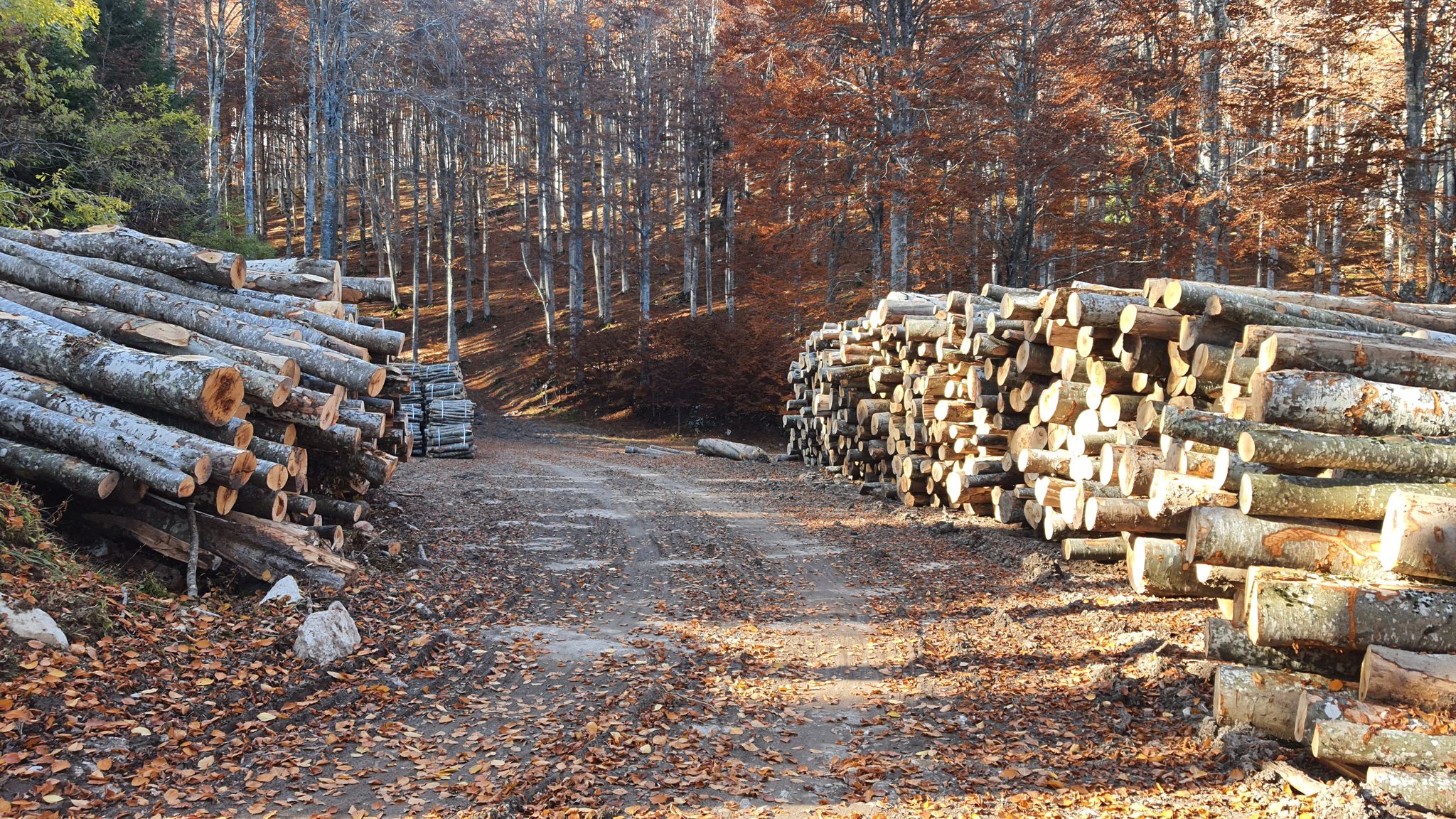
Between dirt roads and forests – Grande Anello Bellunese in Italy
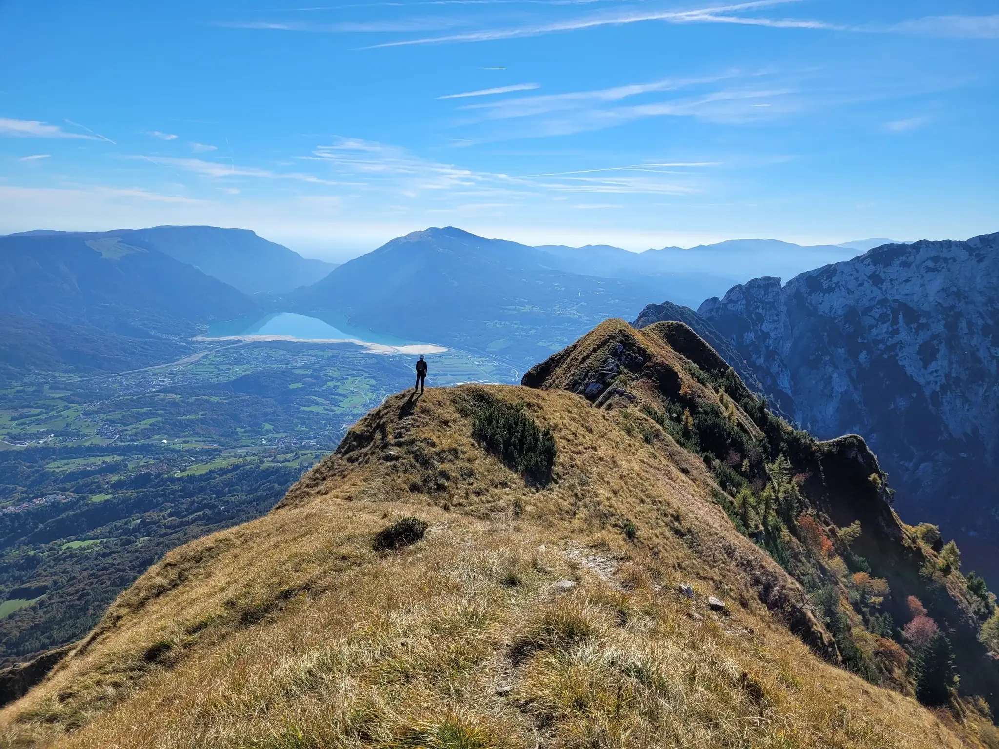
A fairytale hike in Italy’s Pale Mountains – Alta Via delle Dolomiti 7

A trail running adventure in the Dolomites – Alta Via 6

Via delle Prealpi – On the way with the MTB in the Venetian Prealps
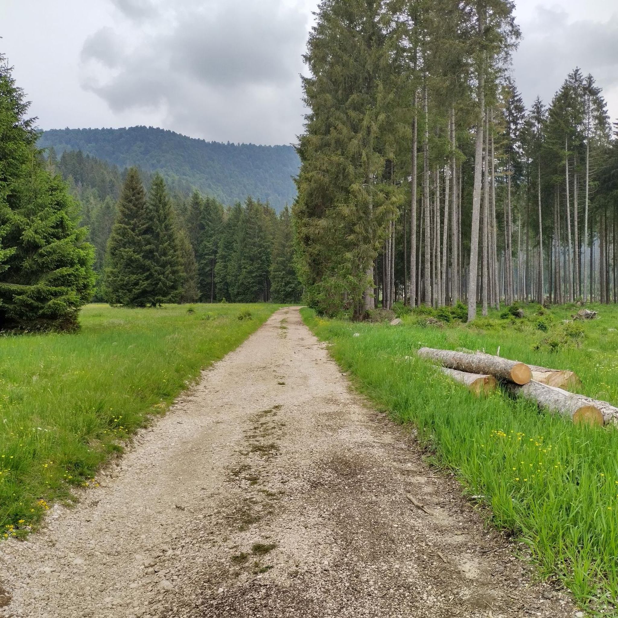
Hiking around Tambre
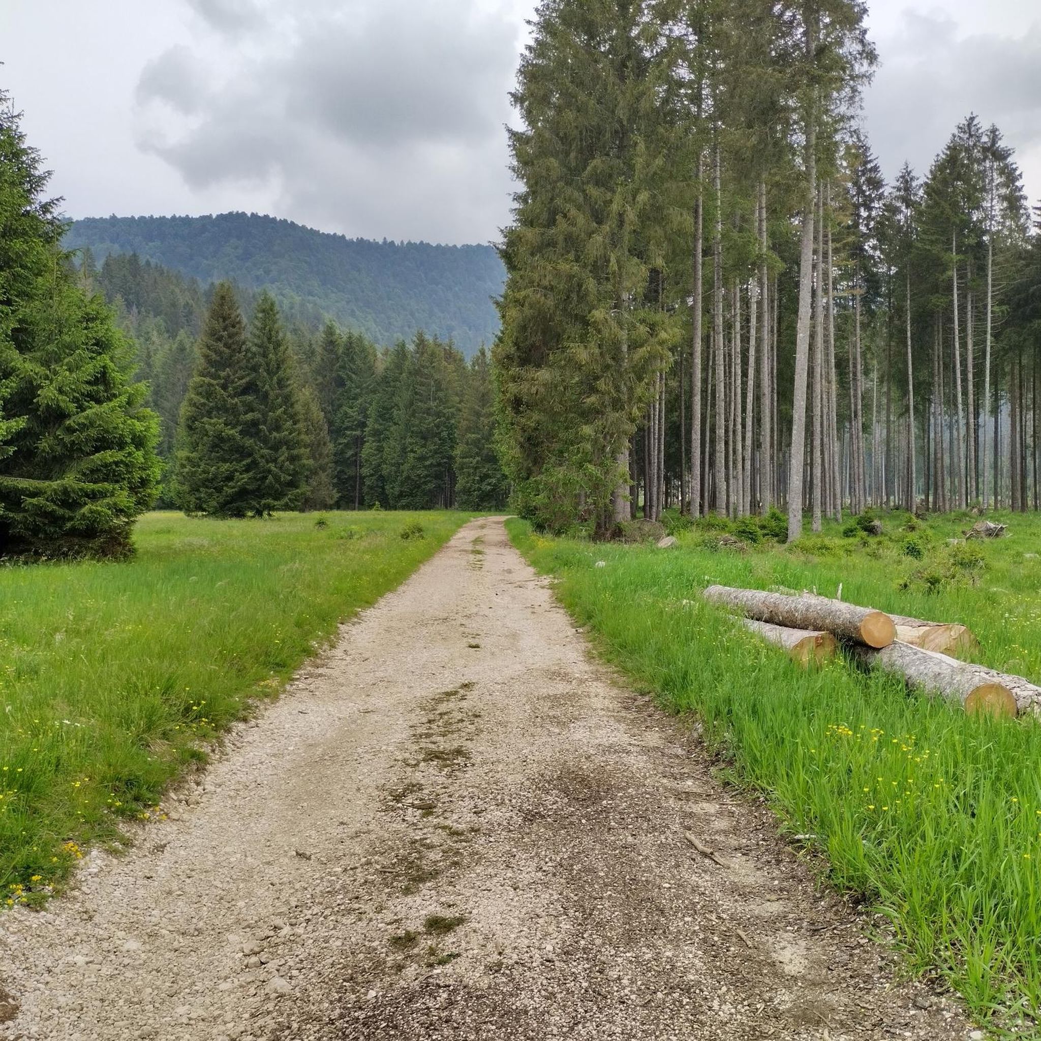
MTB Trails around Tambre

Gravel biking around Tambre
Running Trails around Tambre
Road Cycling Routes around Tambre

Mountain Hikes around Tambre
Other adventures around Tambre


Tips from the Community

The Pian del Cansiglio is a vast plateau located in the Belluno Prealps at an altitude between 900 and 1,200 meters above sea level. It extends across the Veneto region (provinces of Belluno and Treviso) and Friuli-Venezia Giulia (province of Pordenone). Its famous and immense forest – composed mainly of beech and Norway spruce – is considered one of the largest and most fascinating in Italy, historically known as the "Bosco della Serenissima" because the Republic of Venice drew timber from it for the oars of its ships.
0
0

Passo della Crosetta, located at an altitude of 1,127 meters, is a strategic Alpine pass that connects the Treviso plain, in the municipality of Fregona, to the Cansiglio plateau and the province of Belluno. Nestled in a majestic setting of ancient woods, dominated by beech and fir trees, the pass represents a privileged gateway to one of the most fascinating natural areas in the Veneto region. A very popular destination in every season, it is a reference point for motorcyclists and cyclists who appreciate its scenic hairpin bends, but also an ideal starting point for hikers, ski mountaineers, and trekking enthusiasts heading towards Monte Pizzoc or the Cansiglio plain. At the pass, the presence of the historic refreshment area and rest stops allows for a regenerating break, combining the wild beauty of the mountains with the typical hospitality of the area.
0
0

beautiful forest road, also for gravel
0
0

Malga located right at the Crosetta Pass.
18
0
Passo della Crosetta is an Alpine pass 1127 m above sea level in the Belluno Alps in Italy. It is located on the border between the regions of Veneto and Friuli-Venezia Giulia, shortly after reaching the Cansiglio plateau.
15
0

Beautiful recently asphalted forest road that leads from Sant’Anna di Alpago to Cansiglio.
0
0

Pian del Cansiglio, with its mountain pastures and historic woods, is an oasis of tranquility ideal for walks and MTB rides. In autumn, the breathtaking colors and the quiet make this place perfect for regenerating, immersing yourself in well-kept and unique natural landscapes.
1
0

A beautiful route, little traffic.
0
0
Frequently Asked Questions
How many touring cycling routes are available around Tambre?
Tambre offers a diverse selection of over 20 touring cycling routes. These routes traverse varied landscapes, including the extensive Cansiglio Forest and serene lakes, providing options for different skill levels.
What kind of terrain can I expect on touring cycling routes in Tambre?
The touring cycling routes around Tambre feature a mix of terrain. You'll encounter wide gravel roads, forest trails, and some unpaved segments. Many routes, especially within the Cansiglio Forest and plateau areas, include significant elevation gains, offering a challenging experience.
Are there any family-friendly touring cycling routes in Tambre?
While many routes in Tambre involve significant elevation, some are designed to be more accessible. Look for routes described as less strenuous or those largely shaded and on wide gravel roads, which can be more enjoyable for families. The region offers a network of paths suitable for various skill levels, so you can find options that cater to less experienced riders.
Can I find circular touring cycling routes in the Tambre area?
Yes, many touring cycling routes in Tambre are designed as scenic loops. For example, the Cansiglio Plateau – Cansiglio Forest Road loop from Tambre is a popular option, offering a circular journey through the Cansiglio Plateau and Forest. Other notable loops include the Cansiglio Forest Road – Taffarel Road loop from Area Wilderness Pian de le Stele and the Taffarel Road – Cansiglio Plateau loop from Tambre.
What are some notable natural attractions or landmarks to see along the routes?
Tambre is rich in natural beauty. You can explore the vast Cansiglio Forest, known for its tranquil mountain pastures and opportunities to spot deer. Scenic lakes like Lake Santa Croce and Lake Morto are often incorporated into routes, providing stunning views. Additionally, you might encounter impressive gorges and waterfalls. Consider visiting the Caglieron Caves, the Prescudin Stream Waterfall, or the First Viewpoint (Skywalk del Dint) for breathtaking sights.
What is the best time of year for touring cycling in Tambre?
July and August are popular months for cycling in Tambre, offering pleasant weather. However, the Cansiglio Forest provides a picturesque backdrop throughout the seasons, from lush greens in summer to vibrant yellows and reds in autumn. Spring also offers beautiful conditions as nature awakens. Always check local weather forecasts before heading out.
Are there options for parking near the touring cycling routes?
Yes, many touring cycling routes in Tambre have convenient parking facilities. For instance, the Cansiglio Forest Road – Taffarel Road loop starts from Area Wilderness Pian de le Stele, which typically offers parking. Routes originating from Tambre itself, such as the Tambre Church Tower – Pian Canave loop, also usually have accessible parking nearby.
Can I reach touring cycling routes in Tambre using public transport with my bike?
While the region is well-suited for cycling, specific information regarding public transport options that accommodate bikes directly to route starting points in Tambre is limited. It's advisable to check local bus or train services in the Veneto region for their bike transport policies and schedules, especially if you plan to rely on public transport to access the trails.
What do other cyclists say about the touring cycling routes in Tambre?
The touring cycling routes in Tambre are highly rated by the komoot community, with an average score of 4.2 stars from over 90 reviews. Cyclists often praise the varied terrain, the beauty of the Cansiglio Forest, and the scenic views of the lakes, highlighting the immersive experience in nature.
Are there any routes that offer significant elevation challenges for experienced cyclists?
Absolutely. Tambre is known for its challenging routes, with 18 out of 22 routes classified as 'difficult'. These often feature significant elevation gains, particularly in the Cansiglio Forest and plateau areas. The Occhio (Eye Sculpture) – Cansiglio Forest Road loop from Pian dell'Osteria, for example, includes nearly 1000 meters of ascent over 45 kilometers, making it ideal for experienced riders seeking a demanding ride.
What are the typical lengths of touring cycling routes around Tambre?
The touring cycling routes around Tambre vary in length. You can find shorter routes, such as the Cansiglio Plateau – Cansiglio Forest Road loop from Tambre, which is about 23.5 km. Longer and more challenging routes, like the Cansiglio Forest Road – Taffarel Road loop from Area Wilderness Pian de le Stele, extend to nearly 46.5 km, offering longer adventures.
Where can I find cafes or places to rest along the touring cycling routes?
While specific cafes are not listed for every route, the Tambre region, particularly around the Cansiglio Forest and near the lakes, offers opportunities to find local establishments. You can taste typical cheeses from local dairies or find small eateries in villages along your route. It's a good idea to plan your stops in advance, especially on longer or more remote trails.
Most popular routes around Tambre
Most popular attractions around Tambre

Get inspired with the komoot mobile app


Explore more
Browse the best Cycling routes in other regions.
