The best road cycling routes around Valdieri
4.5
(325)
11,793
riders
128
rides
Road cycling routes around Valdieri are set within Italy's Gesso Valley, part of the Protected Areas of the Maritime Alps. The region features diverse terrain, characterized by challenging mountain roads and significant elevation gains. Cyclists encounter varied surfaces, with routes often including sustained average gradients reaching nearly 10% over several kilometers. The landscape is dominated by high peaks and valleys, providing a demanding environment for road cyclists.
Best road cycling routes around Valdieri
- The most popular road cycling route is…
Last updated: July 1, 2026
4.6
(30)
1,923
riders
121km
06:36
2,420m
2,420m
Hard road ride. Very good fitness required. Mostly well-paved surfaces and easy to ride.
4.7
(23)
515
riders
57.4km
03:13
1,080m
1,080m
Hard road ride. Very good fitness required. Mostly well-paved surfaces and easy to ride.

Sign up for free
4.7
(11)
183
riders
66.1km
04:11
1,900m
1,900m
Hard road ride. Very good fitness required. Mostly well-paved surfaces and easy to ride.
3.8
(4)
89
riders
42.6km
02:16
800m
800m
Moderate road ride. Good fitness required. Mostly well-paved surfaces and easy to ride.
4.6
(5)
181
riders
32.4km
01:32
350m
350m
Moderate road ride. Good fitness required. Mostly well-paved surfaces and easy to ride.
Get access to more routes and recommendations from other explorers.
Sign up for free
Already have an account?
Our route recommendations are based on thousands of hikes, rides, and runs completed by other people on komoot.
Start today with a free account
Your next adventure awaits.
Login or Signup
Popular around Valdieri

GTA South Piedmont — Hiking in Italy's Occitan valleys
Alta Via dei Re – a fairytale crossing in Italy's Maritime Alps
RivierALP – great hikes between the Alps and the Mediterranean
The STONE KING Route – adventure enduro from High Alps to the Med
Through the crystalline Argentera massif – Italy’s Alta Via dei Re
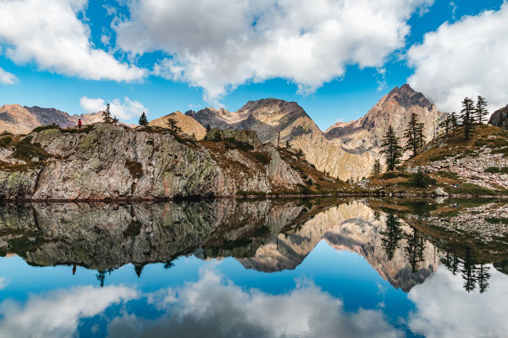
Exploring 11 lakes — 5 hikes in Italy’s Alpi Marittime Nature Park
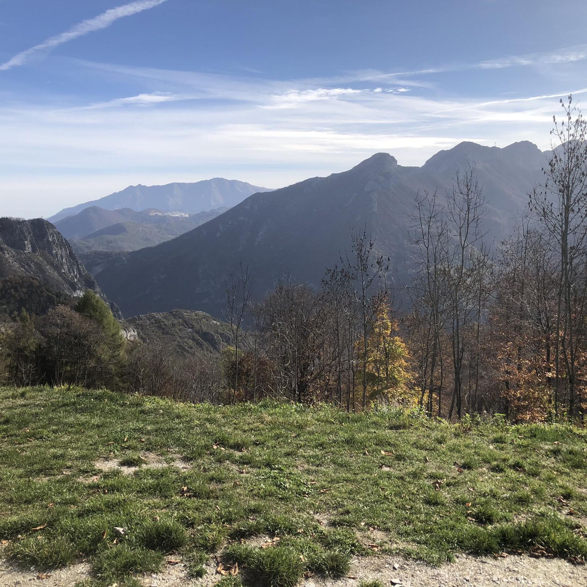
Hiking around Valdieri
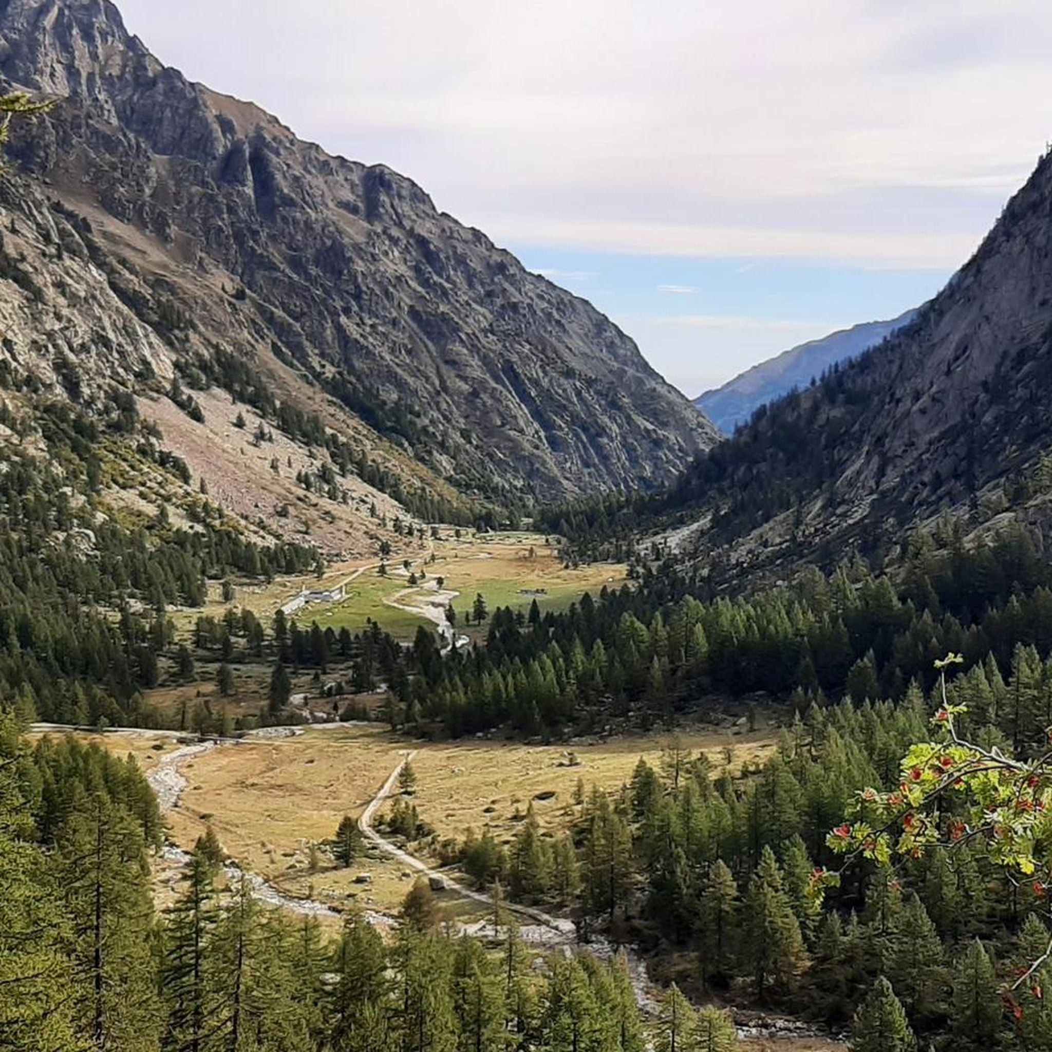
MTB Trails around Valdieri
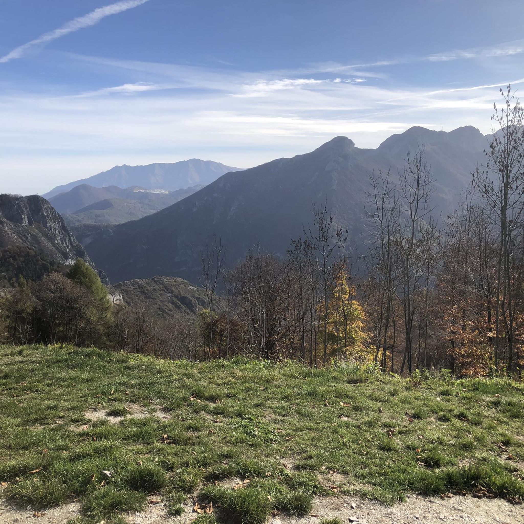
Cycling around Valdieri
Running Trails around Valdieri
Other adventures around Valdieri


Tips from the Community

Source of fresh drinking water (as the name suggests, "Fontana Fredda" in Italian), next to the provincial road 333, right at the beginning just after leaving Campomolino. Interesting, and useful. For those who don't trust the potability too much, in the village of Campomolino there is a more "modern" fountain - but I suspect it relies on the same source...
0
0
It's not just the monument to the Pirate Marco Pantani, which by itself is worth the trip. It's the panorama, which leaves you speechless wherever you turn. It's the road to climb, as impactful as you want, but which also crosses dreamlike landscapes. It's the crisp air at almost 2,500 m altitude, which transports you to another world. A climb to do at least once in your life, to then stay a long time at the pass and enjoy it calmly like a rare delicacy.
0
0
Secondary pass connecting the Stura di Demonte valley to the southeastern spurs of the Gardetta Plateau. From the pass, you can enjoy a spectacular view. It requires a short detour from the main road to the Fauniera, but it is definitely worth the small effort. If you wish to continue, you will soon reach the Colle di Ancoccia, and from there the Gardetta Plateau itself.
0
0
Secondary pass between Valle Grana and Valle Maira. Reachable from the Esischie-Fauniera road, from the Val Maira side it is reached only by a path. You can enjoy a beautiful view of the mountains of Val Maira on one side, and of the summit basin of Val Grana on the other.
0
0
Stone bridge at the beginning of one of the trails in the splendid trail network of this area of Val Maira. It stands out against the backdrop of the mountain behind, and offers a beautiful view.
0
0
Beautiful hamlet, small but interesting: many well-restored houses, a beautiful little church with a pronaos and frescoed facade, the Casa Narbona museum, the modern Town Hall building (Castelmagno is a scattered municipality), and two water points, one of which on the Provinciale, just outside the inhabited area, is an ancient fountain. Nice place for a stop on the way up to the Sanctuary.
0
0
Impressive passage in a gorge carved between the rocks, which leaves you speechless. It seems to be from a surrealist tale. Upstream and downstream, dreamlike panoramas open up.
0
0
View of the sanctuary of Castelmagno with the low valley in the background.
0
0
Frequently Asked Questions
What kind of terrain can I expect when road cycling around Valdieri?
Valdieri, nestled in Italy's Gesso Valley within the Maritime Alps, offers a diverse and often challenging road cycling experience. You'll encounter stunning mountain roads with significant elevation gains, some featuring sustained average gradients reaching nearly 10% over several kilometers. The region is known for its 'savage' climbs, with routes often topping over 1,800 meters in elevation and substantial vertical gain, providing a demanding environment for road cyclists.
Are there road cycling routes suitable for beginners or those looking for easier rides in Valdieri?
While many routes in Valdieri are geared towards demanding rides with significant climbs, there are options for various ability levels. The region offers over 20 easy road cycling routes, which typically feature less elevation gain and shorter distances, making them suitable for beginners or those seeking a more relaxed pace. For example, the MEMO4345 Museum – Gesso River loop from Entracque is a moderate route that explores the valley with manageable elevation.
What are some of the most scenic viewpoints or natural features I can experience on a road bike in Valdieri?
Road cycling in Valdieri immerses you in breathtaking natural landscapes. You'll find 'unbelievable views' of mountains and diverse terrain throughout your rides. The Gesso Valley itself offers picturesque scenery. Specific natural features include the thermal springs area of Terme di Valdieri and the Valasco Plateau, known for its rare beauty. You can also explore the unique geological formations like the Riserva Naturale delle Grotte del Bandito, or cycle past beautiful bodies of water such as Lago della Rovina.
When is the best time of year to go road cycling in Valdieri?
The Gesso Valley, where Valdieri is located, offers comfortable roads suitable for year-round cycling. However, for the most challenging mountain routes and high-altitude climbs, the warmer months from late spring to early autumn (typically May to October) are ideal, as snow can impact higher passes during winter. The region's diverse terrain means you can find suitable routes even in shoulder seasons, but always check local weather and road conditions, especially for higher elevations.
Are there any family-friendly road cycling routes in Valdieri?
Yes, while many routes are challenging, Valdieri does offer family-friendly road cycling options, particularly among its 21 easy routes. These routes typically feature gentler gradients and shorter distances, making them more accessible for families. The Gesso Valley itself provides comfortable roads that are generally suitable for a more relaxed pace, allowing families to enjoy the scenic surroundings together.
What kind of attractions or landmarks can I visit near the road cycling routes in Valdieri?
Valdieri's territory is rich in natural and historical sites. Beyond the stunning landscapes, you can find the Riserva Naturale delle Grotte del Bandito, which is part of a unique cave system. The area also features the Terme di Valdieri, known for its natural thermal springs and the 'Valderia' Alpine Botanical Garden. For those interested in history, there's a prehistoric necropolis dating back to the Bronze Age. You can also find beautiful lakes like Lago delle Portette and Lago Sottano della Sella.
What do other road cyclists say about their experience in Valdieri?
The road cycling routes around Valdieri are highly rated by the komoot community, with an average score of 4.6 stars from over 350 reviews. Cyclists often praise the challenging climbs, the spectacular scenery of the Maritime Alps, and the diverse terrain that offers a true 'Giro d'Italia' experience. Many appreciate the variety of routes available, from demanding mountain passes to scenic valley loops.
Can I find circular road cycling routes in Valdieri?
Yes, Valdieri offers numerous circular road cycling routes, allowing you to start and end your ride in the same location. Examples include the challenging Campomolino – Sanctuary of Castelmagno loop from Entracque, the scenic Stura Valley – Monte Gelas loop from Entracque, and the high-altitude Colle del Vallonetto (2,447 m) – Colle Fauniera loop from Moiola. These loops are popular for exploring different valleys, ridges, and viewpoints.
Are there any specific challenging climbs or routes that are a must-do for experienced road cyclists in Valdieri?
For experienced road cyclists seeking a challenge, Valdieri offers several iconic climbs. The ascent to Terme di Valdieri is a classic local route, becoming particularly challenging in its final six kilometers after Sant'Anna di Valdieri. The region's 'savage' climbs often feature two major ascents topping over 1,800 meters and 1,100 meters of vertical gain over approximately 9 kilometers, providing a true test of endurance. The Terme di Valdieri – Slavina loop is a moderate option that still includes significant climbing.
How many road cycling routes are available around Valdieri?
There are over 100 road cycling routes available around Valdieri, offering a wide range of options for different skill levels and preferences. This includes 21 easy routes, 54 moderate routes, and 42 difficult routes, ensuring there's something for every road cyclist looking to explore the Gesso Valley and the Maritime Alps.
Is it possible to access road cycling routes in Valdieri using public transport?
While specific public transport details for accessing every trailhead are not provided, Valdieri is a town in the Gesso Valley. It's advisable to check local bus schedules or regional transport options that might connect to Valdieri or nearby towns like Entracque or Moiola, which serve as starting points for many routes. Planning ahead is recommended if you intend to rely on public transport for route access.
Are there places to park my car when starting a road cycling route in Valdieri?
Yes, when planning your road cycling trip in Valdieri, you can typically find parking in the main towns and villages that serve as starting points for routes, such as Valdieri itself, Entracque, or Moiola. Many routes begin from accessible locations where parking facilities are available, though it's always a good idea to check specific starting points on komoot for detailed information on parking availability.
Most popular routes around Valdieri
Most popular attractions around Valdieri

Get inspired with the komoot mobile app


Explore more
Browse the best Road cycling routes in other regions.
