The best mountain hikes around Bagni Di Lucca
4.5
(8)
38
hikers
5
hikes
Mountaineering routes around Bagni Di Lucca are set within the Apennine Mountains, offering a diverse landscape for outdoor activities. The region features chestnut woods, river valleys, and impressive canyons carved by the Lima River. Its proximity to the rugged Apuan Alps provides opportunities for more challenging mountaineering pursuits, including dramatic peaks and technical terrain. This area is characterized by its varied elevation and natural features, making it suitable for different levels of mountain exploration.
Best mountaineering routes around Bagni Di…
Last updated: July 5, 2026
4.3
(3)
15
hikers
Hard mountaineering route. Good fitness required. Sure-footedness, sturdy shoes and alpine experience required.
4.7
(3)
9
hikers
10.6km
04:13
530m
530m
Moderate mountaineering route. Good fitness required. Mostly accessible paths. Sure-footedness required.

Sign up for free
5.0
(1)
3
hikers
11.7km
04:39
760m
760m
Moderate mountaineering route. Good fitness required. Mostly accessible paths. Sure-footedness required.
4.0
(1)
4
hikers
10.8km
04:21
550m
550m
Hard mountaineering route. Good fitness required. Sure-footedness, sturdy shoes and alpine experience required.
4.5
(2)
2
hikers
9.39km
03:58
760m
760m
Moderate mountaineering route. Good fitness required. Mostly accessible paths. Sure-footedness required.
Our route recommendations are based on thousands of hikes, rides, and runs completed by other people on komoot.
Start today with a free account
Your next adventure awaits.
Login or Signup
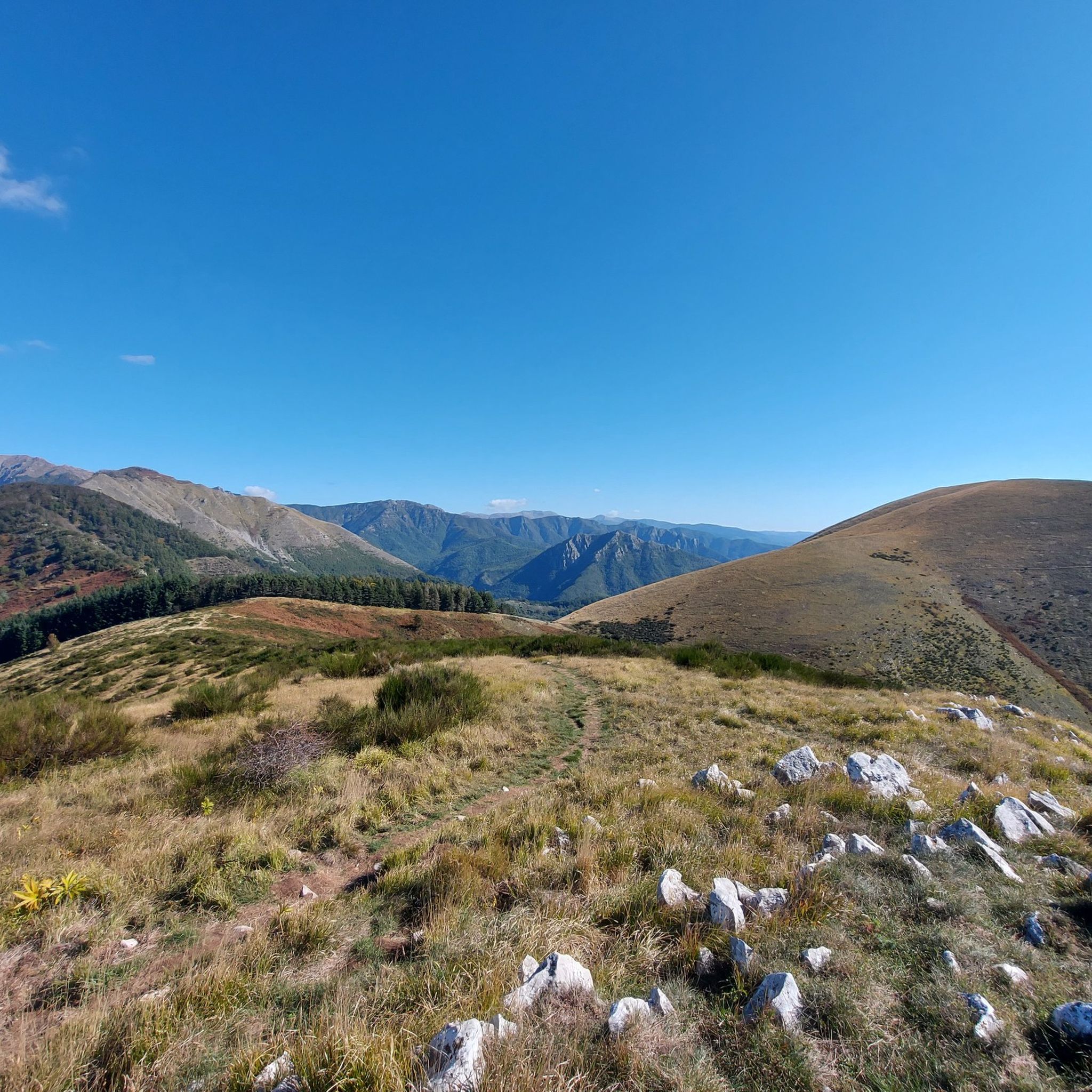
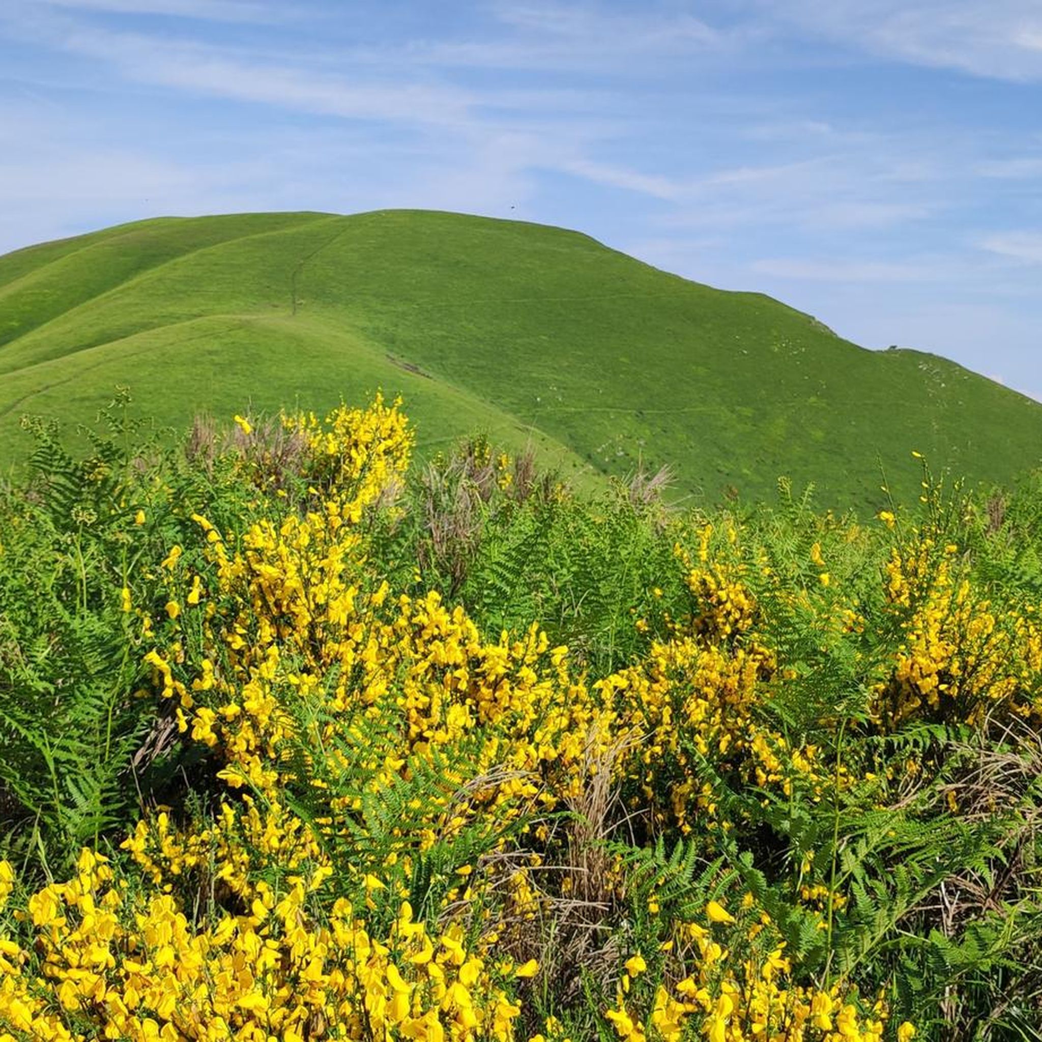

Tips from the Community

Make sure there is no strong wind
0
0

A refuge with renovated private rooms and excellent cuisine. It's an excellent starting point for various hikes in the area, and the management is very friendly. From the (paid) parking lot, it's about a 10-minute walk uphill to the refuge. The manager, Massimo, is a wonderful person; it's always a pleasure to return!
1
0

Monte Giovo, 1991 metres, is the highest peak in this part of the Apennines.
0
0
Passo Boccaia 1574 meters, crossroads of paths, arriving from Passo Eolo on the left you go down to Lago Santo, on the right you go down into the valley below Colle Bruciata continuing straight you start the climb (be careful very long and tiring) that leads to the summit of Monte Giovo at 1991 meters
0
0
Mount Cimone! the panettone! with its 2165 meters it is the highest peak of the northern Apennines. Iconic point of arrival and special panoramic point as it is unique in Italy for this characteristic (from its summit it is possible to observe, on the clearest days, the largest land surface of the Italian territory, from the Gran Sasso Apennines to the Alpine mountain range)
0
0

Really nice emotions during the ascent 🫶🏼😃
0
0
Done for the first time with a CAI assistant, harness and safety line on the way up...for experts it's nothing special but for those less used to it like me all the safety brought allowed me to do it, it's not trivial to have realized this little dream 💪🏼😃
1
0
Reaching this goal was a great satisfaction for me…it had been in my plans for a long time of peaks to reach so a little dream to realize…from up there breathtaking view obviously! 🙌🏼😃
0
0
Frequently Asked Questions
What types of mountaineering routes can I find around Bagni Di Lucca?
Bagni Di Lucca offers a diverse range of mountaineering experiences, from moderate ascents to more challenging mountain trails. The region is characterized by the Apennine Mountains and the rugged Apuan Alps, providing varied landscapes including chestnut woods, river valleys, and impressive canyons. You'll find routes suitable for different ability levels.
Are there any circular mountaineering routes in the Bagni Di Lucca area?
Yes, several routes in the area are circular. For example, you can explore the Altaretto – Monte Giovo loop from Lago Santo modenese, which is a difficult 5.7-mile trail. Another option is the moderate Lago della Risaia – Monte Rotondo loop from Abetone, covering 6.8 miles.
What is the best time of year for mountaineering in Bagni Di Lucca?
The region's climate, influenced by the Apennine Mountains, offers a cool, fresh environment. While specific recommendations depend on the route's elevation and exposure, generally spring through autumn provides favorable conditions for mountaineering. For higher, more technical routes in the Apuan Alps, summer and early autumn are often ideal, avoiding winter snow and ice.
Are there any family-friendly mountaineering options near Bagni Di Lucca?
While many mountaineering routes in the Apennines and Apuan Alps can be challenging, the broader Bagni di Lucca area offers trails suitable for various skill levels. For families, consider exploring paths that are less steep and shorter in duration. Always check the specific route details for difficulty and elevation gain to ensure it matches your family's experience level. The region also has many easier hiking trails along the Lima River and through chestnut woods.
What are some of the more challenging mountaineering routes in the region?
For those seeking a challenge, routes like the Altaretto – Monte Giovo loop from Lago Santo modenese and the Monte Giovo – Colle Traversata loop from Lago Santo modenese are classified as difficult. The nearby Apuan Alps, with peaks like Monte Pisanino and Pizzo d'Uccello, offer even more technical mountaineering and rock climbing opportunities, often requiring alpine experience and specialized gear.
What interesting natural features or landmarks can I see along the mountaineering routes?
The region is rich in natural beauty. You might encounter dramatic peaks and rugged landscapes in the Apuan Alps, or the scenic Lima River valley with its impressive canyons. Some routes offer views of significant summits like Monte Cimone Summit or lead to mountain passes such as Croce Arcana Pass. The Orrido di Botri Nature Reserve, with its deep gorges and waterfalls, is also a notable natural attraction in the wider area.
How do other mountaineers rate the routes around Bagni Di Lucca?
The mountaineering routes around Bagni Di Lucca are highly regarded by the komoot community, holding an average rating of 4.6 stars from over 8 reviews. Many users appreciate the varied terrain and the opportunities for challenging ascents within the Apennine Mountains and near the Apuan Alps.
Are there any huts or refuges along the mountaineering trails?
While specific routes may vary, the broader mountain regions often feature huts or refuges. For instance, the Tassoni Hut is a notable point of interest in the area, providing a potential stop or base for longer excursions. Always check the specific route details for available amenities.
What is the typical duration and elevation gain for mountaineering routes in this area?
The routes vary significantly. For example, the Il Passetto loop from Lago Santo modenese is a moderate 4.3-mile trail with about 1,416 feet (432 meters) of elevation gain, typically taking around 3 hours. More challenging routes, like the Altaretto – Il Passetto loop from Lago Santo modenese, cover 4.4 miles with approximately 1,660 feet (506 meters) of ascent, requiring more time and effort.
Can I access the mountaineering trailheads using public transport?
Access to mountain trailheads by public transport can be limited in some remote areas of the Apennines and Apuan Alps. While Bagni di Lucca itself is accessible, reaching specific starting points for mountaineering routes often requires a car. It's advisable to research local bus services or consider taxi options for specific trailheads if you plan to rely on public transport.
Are there any historical sites or monuments near the mountaineering routes?
Yes, the region has historical significance. Near some mountain passes, you can find memorials such as the World War II Memorial at Croce Arcana or the World War II Memorial Cannons at Passo della Croce Arcana. These sites offer a glimpse into the area's past amidst the natural landscape.
Most popular routes around Bagni Di Lucca
Most popular attractions around Bagni Di Lucca

Get inspired with the komoot mobile app


Explore more
Browse the best Mountain Hikes & Routes in other regions.
