The best road cycling routes around Stützengrün
4.7
(224)
2,838
riders
274
rides
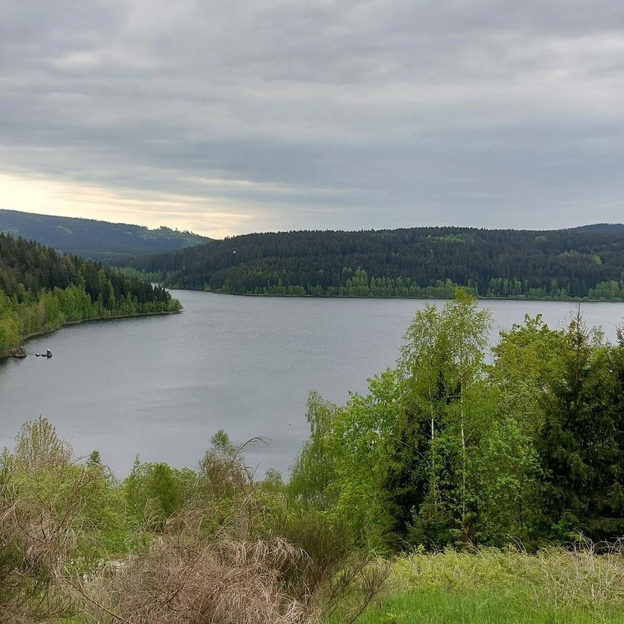
Road cycling around Stützengrün features a landscape of forested mountains and rolling hills within the Ore Mountains and Vogtland Nature Park. The region includes notable features such as the Kuhberg, which offers panoramic views from its 795-meter peak, accessible via paved roads. Cyclists can also find routes around the Eibenstock Reservoir, Saxony's largest drinking water reservoir, and along the Zwickauer Mulde river. The terrain provides varied options for road cyclists, from gentle inclines to more challenging ascents.
Best road cycling…
Last updated: September 29, 2026
4.8
(5)
99
riders
76.0km
03:43
1,070m
1,070m
Hard road ride. Very good fitness required. Mostly well-paved surfaces and easy to ride.
5.0
(2)
56
riders
49.6km
02:15
450m
450m
Moderate road ride. Good fitness required. Mostly well-paved surfaces and easy to ride.

4.0
(1)
42
riders
64.2km
03:01
740m
740m
Moderate road ride. Good fitness required. Mostly well-paved surfaces and easy to ride.
5.0
(2)
34
riders
Moderate road ride. Good fitness required. Mostly well-paved surfaces and easy to ride.
5.0
(1)
21
riders
66.1km
03:15
830m
830m
Moderate road ride. Good fitness required. Mostly well-paved surfaces and easy to ride.
Get access to more routes and recommendations from other explorers.
Already have an account?
Our route recommendations are based on thousands of hikes, rides, and runs completed by other people on komoot.
Start today with a free account
Your next adventure awaits.
Tips from the Community

We prefer to ride uphill first and downhill on the WAY BACK; also with an e-bike. That's why we started from the parking lot at Vorsperre.
0
0

Here you can find something for astro fans.
0
0


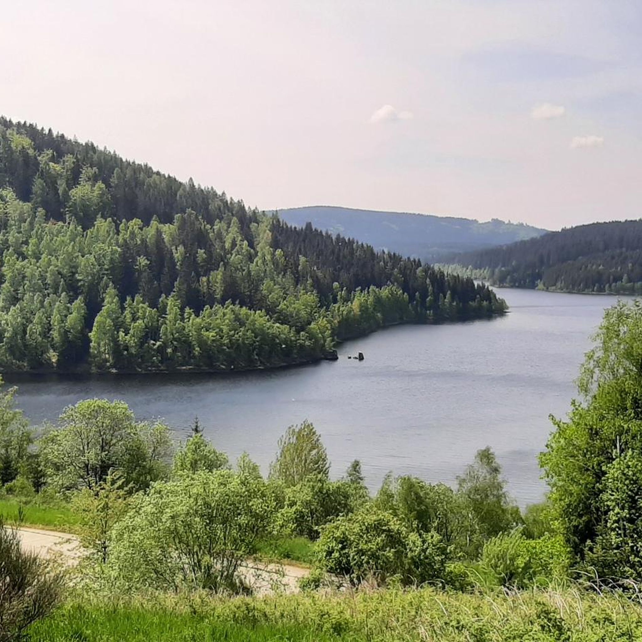
Below the reservoir is a swimming lake - ideal if it gets too hot on the gravel bike tour - otherwise it is beautiful here and the path around the reservoir is easy to ride
1
0


Interesting information panels about the Muldenberg Dam. Here you can learn about the history of the facility, rehabilitation measures, and drinking water protection.
0
0

We like to stop here for a swim 🏊♀️!
0
0

It's simply impressive what this small town, also known as the 'cradle of the bandoneon,' is capable of. In the evenings, the sculpture is illuminated.
1
0
Frequently Asked Questions
How many road cycling routes are available around Stützengrün?
There are nearly 300 road cycling routes around Stützengrün, offering a wide variety of options for different skill levels and preferences. The komoot community has explored these routes over 2,900 times.
What is the general terrain like for road cycling in Stützengrün?
The terrain around Stützengrün is characterized by forested mountain landscapes and rolling hills within the Ore Mountains and Vogtland Nature Park. Many routes feature mostly paved surfaces, making them ideal for road bikes. You'll find a mix of gentle inclines and more challenging ascents, with some routes utilizing former railway lines for smoother rides.
Are there road cycling routes suitable for beginners or less experienced riders?
Yes, Stützengrün offers 16 easy road cycling routes perfect for beginners or those looking for a more relaxed ride. These routes typically have gentler inclines and shorter distances, allowing you to enjoy the scenic surroundings at a comfortable pace.
Are there challenging road cycling routes for experienced riders?
Absolutely. For experienced road cyclists seeking a challenge, there are 95 difficult routes around Stützengrün. These often include significant elevation gains and longer distances, such as the Mühlleithen Pass summit (860 m) – Hefekloß Pass Summit loop from Schönheide Mitte, which covers 76.6 km with over 1,000 meters of elevation.
What natural features can I expect to see while cycling?
You'll encounter diverse natural features, including the forested mountain landscape and rolling hills of the Ore Mountains. Many routes offer views of the Eibenstock Reservoir, Saxony's largest drinking water reservoir, and follow sections along the Zwickauer Mulde river. The region also features unique areas like the Mountain Grasslands Trail in the Stollmühlengrund, showcasing meadows and streams.
Are there any specific landmarks or attractions to look out for on a ride?
Yes, several notable landmarks and attractions are accessible or visible from road cycling routes. You can aim for the Auersberg Summit and Observation Tower for panoramic views, or pass by the historic Old Bockau railroad tunnel. The scenic Blauenthal Waterfall is also a beautiful sight to include in your tour.
Are there any scenic viewpoints along the road cycling routes?
Definitely. The region is known for its stunning vistas. A prominent viewpoint is from the Prinz Georg Tower on Kuhberg (795 meters), which offers panoramic views across the landscapes up to the ridge of the Ore Mountains. Routes around the Eibenstock Reservoir also provide picturesque water views.
What do other cyclists say about the road cycling routes in Stützengrün?
The road cycling routes in Stützengrün are highly rated by the komoot community, with an average score of 4.7 stars from over 180 reviews. Cyclists often praise the varied terrain, the well-maintained paved surfaces, and the beautiful natural scenery, including the forested mountains and reservoir views.
Are there any road cycling routes that pass by lakes or reservoirs?
Yes, several routes offer scenic views of local water bodies. For instance, the Schönheide South Station – Muldenberg Dam loop from Schönheide Mitte features sections near the Muldenberg Dam. You can also find routes that pass by the Sosa Reservoir and the large Eibenstock Reservoir.
Are there long-distance road cycling options available?
Yes, Stützengrün offers several longer road cycling routes for endurance riders. The View of Schönheide – Wernesgrüner Brewery loop from Schönheide Ost, for example, is a moderate 66.3 km route, while the Mühlleithen Pass summit (860 m) – Hefekloß Pass Summit loop from Schönheide Mitte is a challenging 76.6 km ride.
Can I find loop trails for road cycling in the area?
Many of the road cycling routes around Stützengrün are designed as convenient loop trails, allowing you to start and end at the same point. Examples include the Bandonion Monument Carlsfeld – Hefekloß Pass Summit loop from Schönheide Mitte and the Painted Fire Station Wildenau – View of Obercrinitz Quarry loop from Schönheide Mitte.
What is the best time of year for road cycling in Stützengrün?
The spring, summer, and early autumn months generally offer the best conditions for road cycling in Stützengrün. During these seasons, the weather is typically milder, and the natural landscapes are at their most vibrant, providing pleasant temperatures and beautiful scenery for your rides.
Most popular routes around Stützengrün
Most popular attractions around Stützengrün

Get inspired with the komoot mobile app


Explore more
Browse the best Road cycling routes in other regions.
