The best road cycling routes around Pontechianale
4.7
(81)
4,038
riders
14
rides
Road cycling routes around Pontechianale are situated in the Valle Varaita, an alpine environment at over 1,600 meters above sea level, bordering France. The region features challenging ascents, including the Colle dell'Agnello, one of Italy's highest mountain passes. Cyclists encounter high mountain landscapes, an artificial lake, and the dramatic backdrop of Monviso. The terrain provides a range of options for various fitness levels.
Best road cycling routes around Pontechianale
- The most popular road cycling route is Chianale Village – Lac…
Last updated: November 1, 2026
5.0
(8)
835
riders
108km
07:20
3,640m
3,640m
Hard road ride. Very good fitness required. Mostly well-paved surfaces and easy to ride.
4.6
(8)
320
riders
34.7km
02:28
1,260m
1,260m
Hard road ride. Very good fitness required. Mostly well-paved surfaces and easy to ride.

4.3
(6)
217
riders
49.3km
03:31
1,610m
1,610m
Hard road ride. Very good fitness required. Mostly well-paved surfaces and easy to ride.
115
riders
76.0km
04:49
2,010m
2,010m
Hard road ride. Very good fitness required. Mostly well-paved surfaces and easy to ride.
5.0
(2)
39
riders
Moderate road ride. Good fitness required. Mostly well-paved surfaces and easy to ride.
Get access to more routes and recommendations from other explorers.
Already have an account?
Our route recommendations are based on thousands of hikes, rides, and runs completed by other people on komoot.
Start today with a free account
Your next adventure awaits.
Popular around Pontechianale
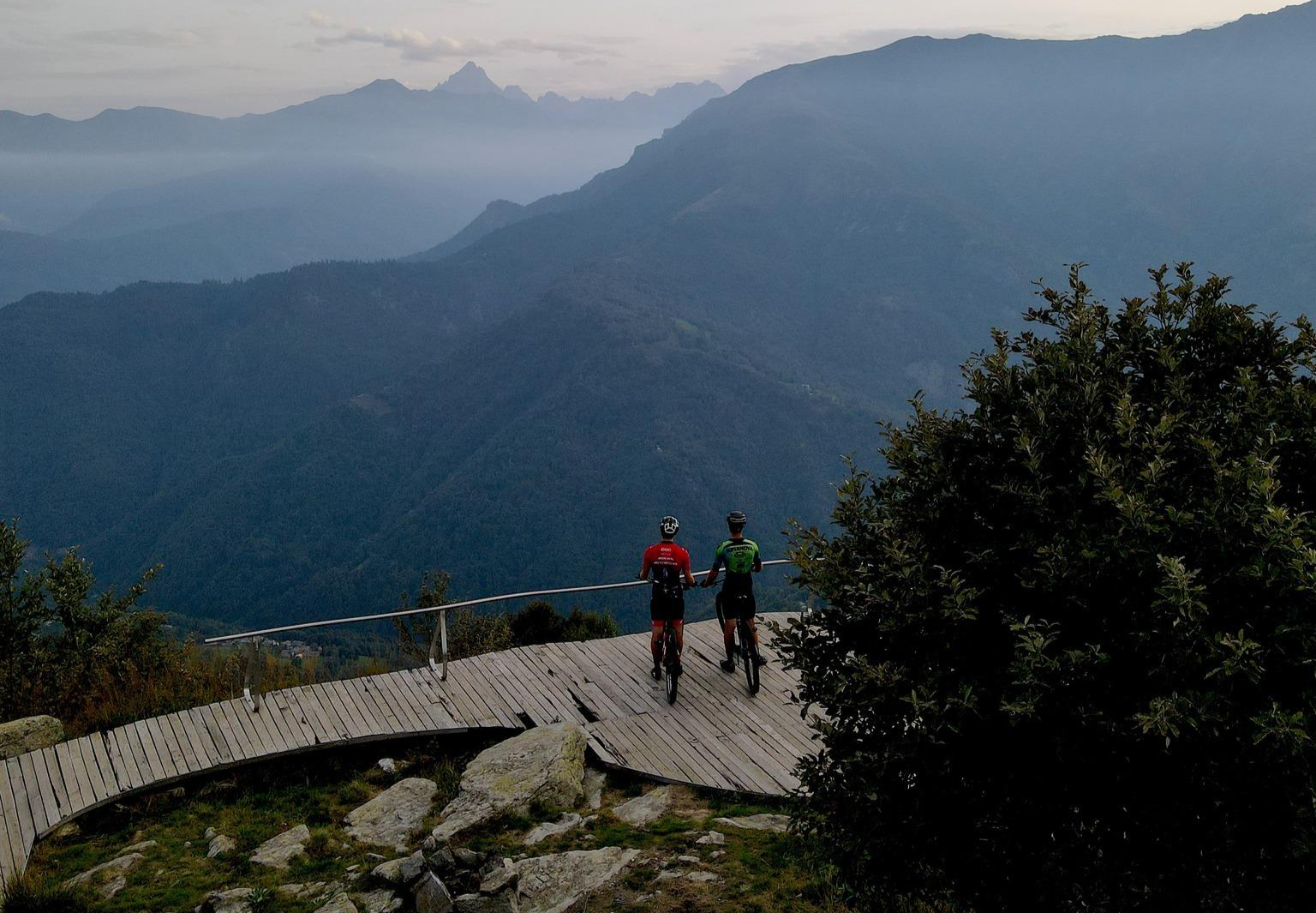
The great climbs of the Pinerolese – Pinerolese Land of Bikes
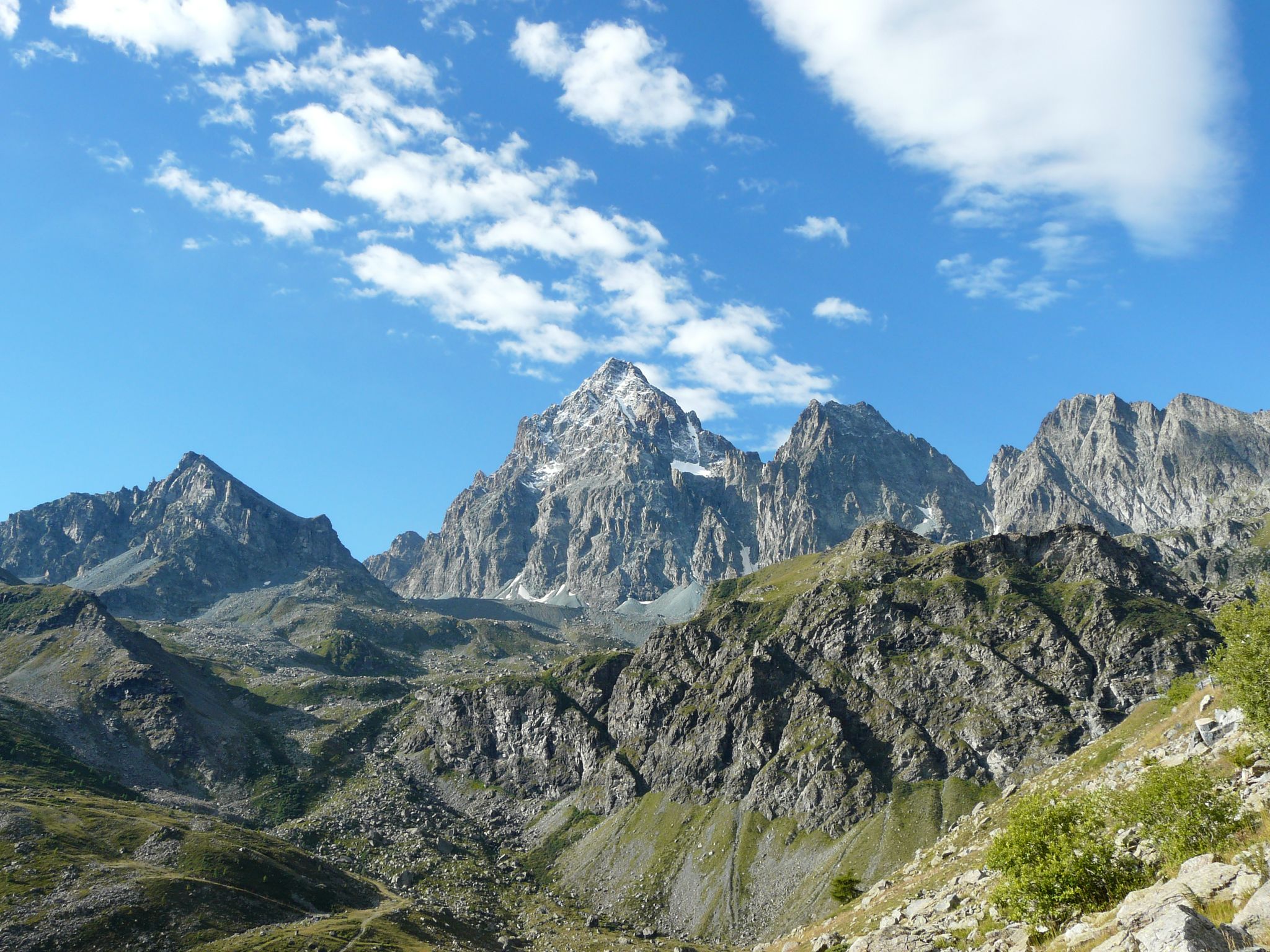
Tour di Viso – Four days around the Stone King from Castello
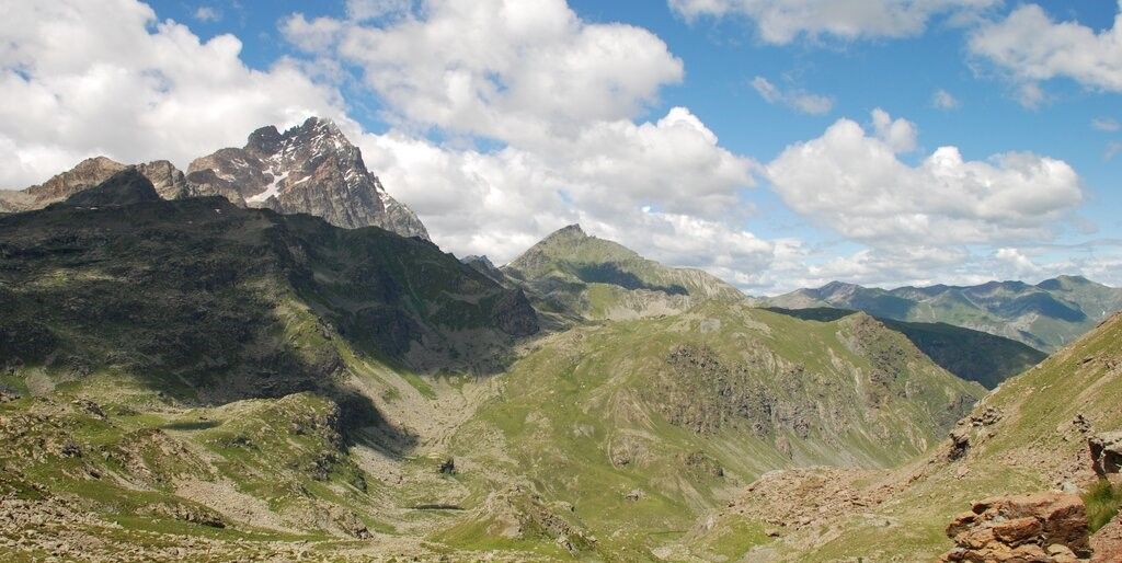
Tour di Viso – Four days around the Stone King from Meire Dacant
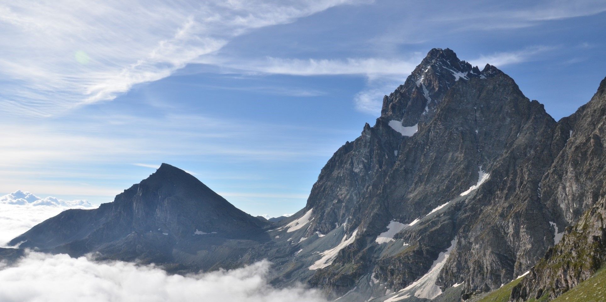
Viso Tour from Castello (variant) – Three days around the Stone King
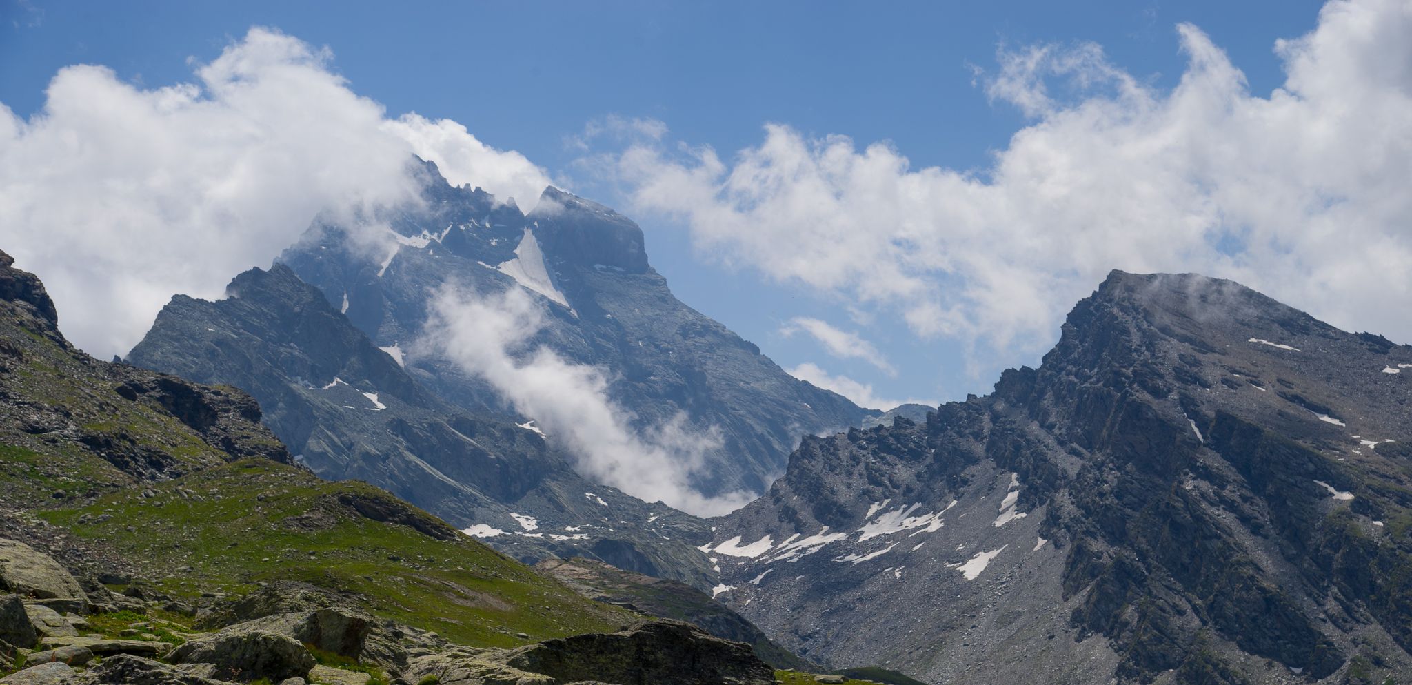
Tour di Viso from Pian del Re – Three days around the Stone King
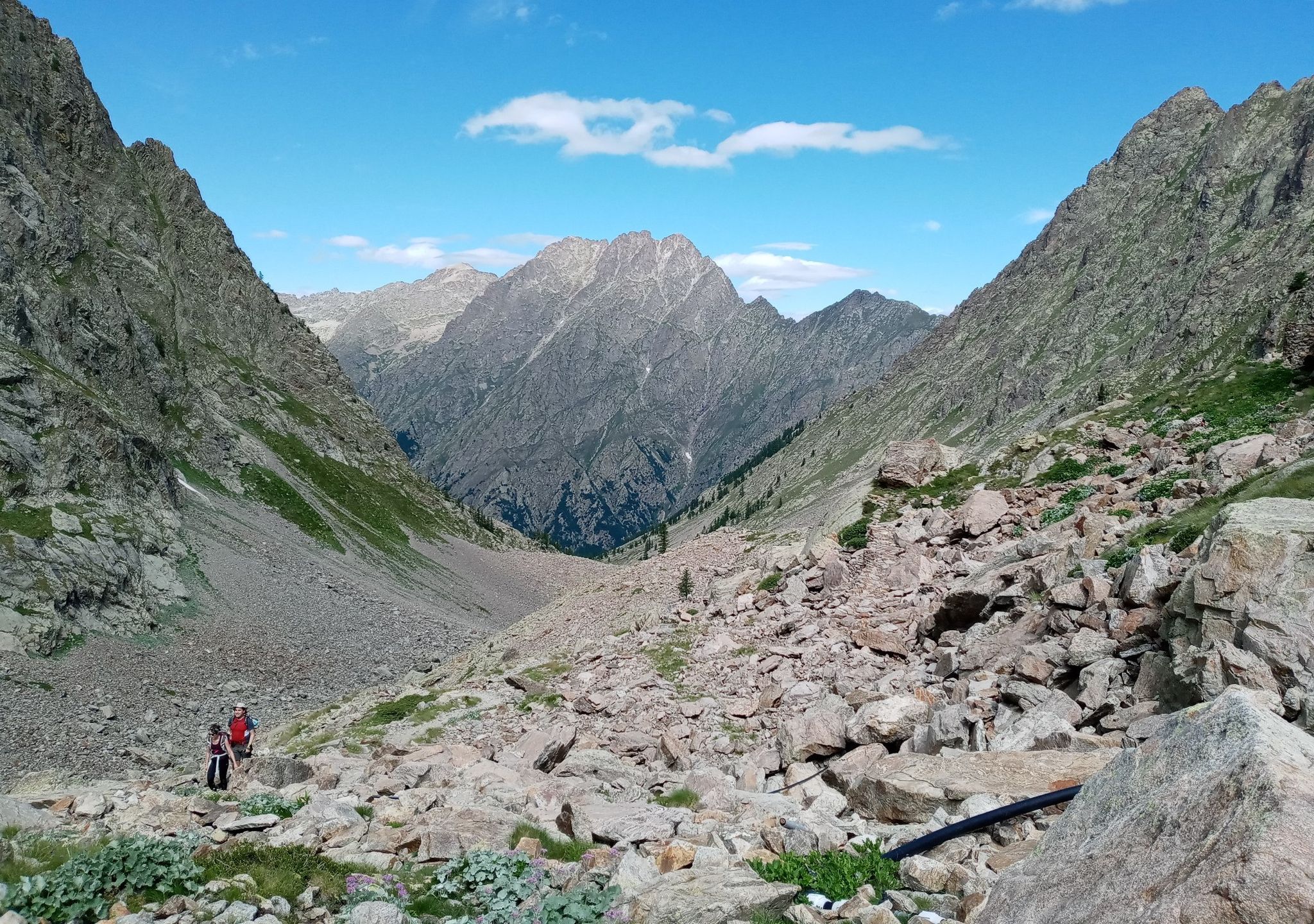
GTA South Piedmont — Hiking in Italy's Occitan valleys
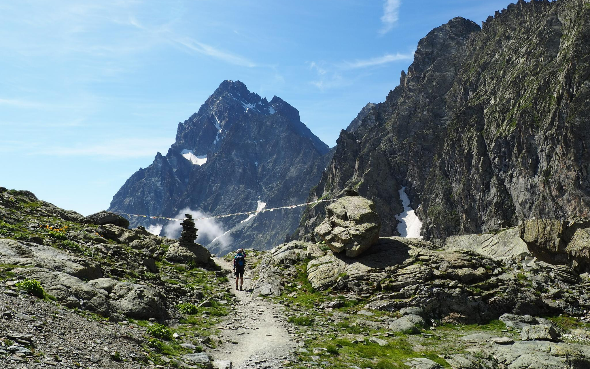
On the trails of the Stone King – trekking among the huts of Monviso
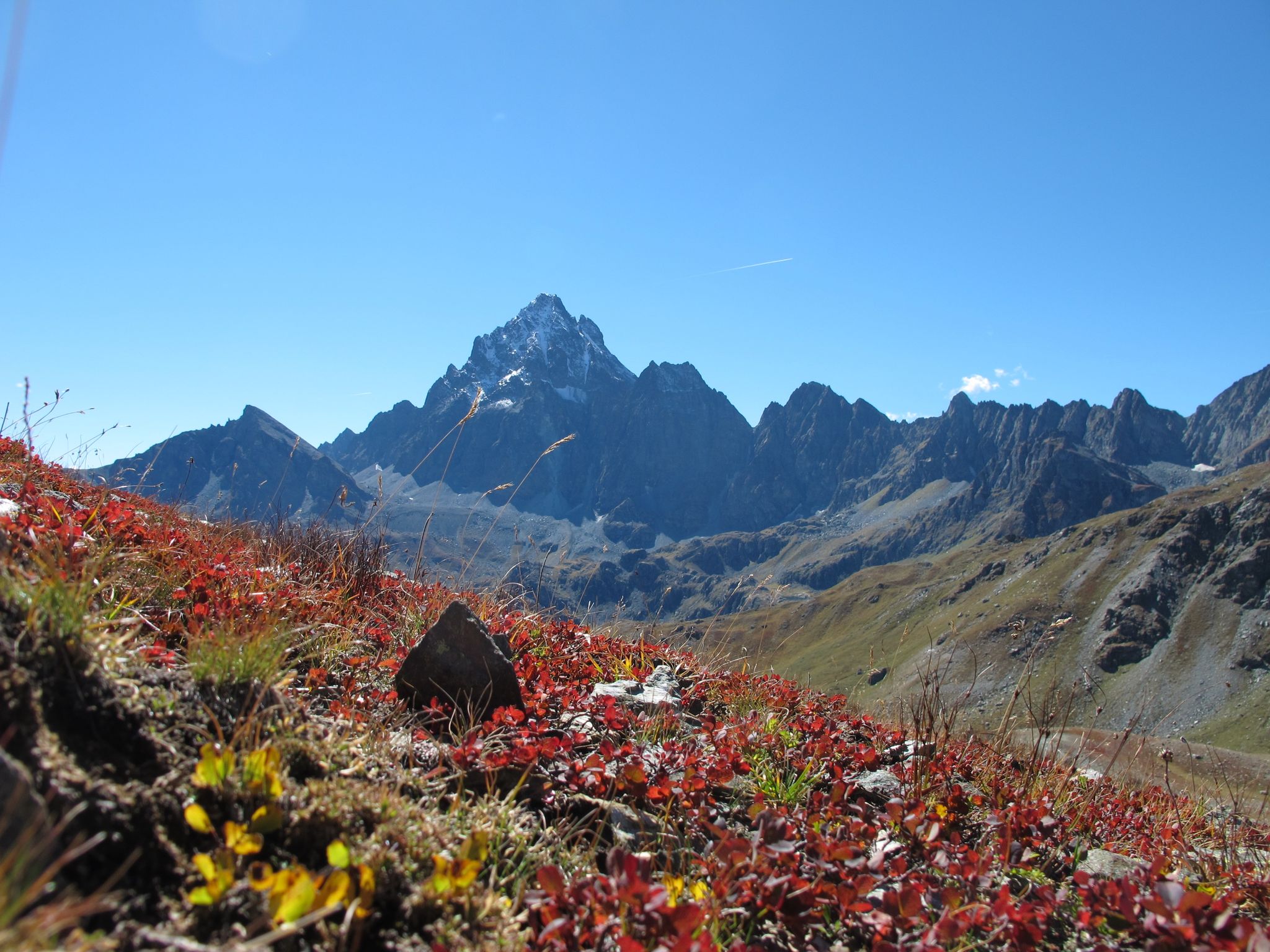
Three days around il Re di Pietra ─ Giro di Viso from Castello
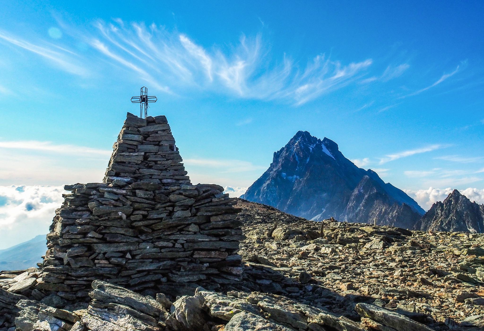
Where birds of prey swoop – 8 peaks over 3,000 metres in Monviso
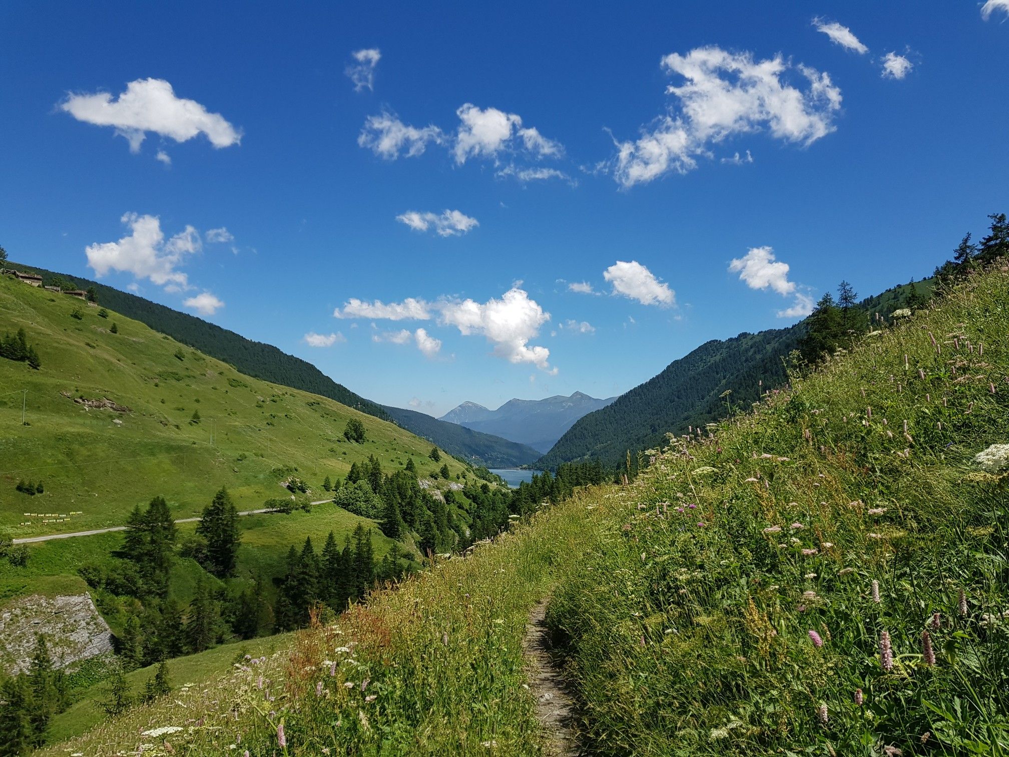
Varaita Valley Trekking – a journey into the lands of Italy’s Monviso
Other adventures around Pontechianale


Tips from the Community

The Castello di Château-Queyras (officially known as Fort Queyras) is a splendid medieval fortified castle located in the municipality of Château-Ville-Vieille, in the heart of the Queyras Regional Natural Park (Hautes-Alpes department, France). Situated at an altitude of 1,427 meters on a rocky outcrop overlooking the picturesque Guil valley, it holds the title of the highest medieval castle in France and is considered one of the country's best-preserved examples of alpine fortification.
0
0

the climb to Colle dell'Agnello is spectacular, tough but with a view of the valley that is worth the effort
0
0

From Colle dell'Agnello the view over the Varaita valley is spectacular.
0
0
Ascent to the Colle di Sampeyre from Sampeyre. Constant gradient over the entire (long) route, it never lets up, but it's a good climb on a picture-postcard mountain with stunning views of the valley.
0
0

The Col d’Izoard is an Alpine pass located in the French Alps, in the Hautes-Alpes department, at an altitude of about 2,360 meters. It connects the Guisane valley (towards Briançon) to the Queyras valley (towards Château-Ville-Vieille).
10
0
Beautiful village on the road between Sampeyre and Casteldelfino. Right at the entrance, a pretty little church greets you, then a small square with a drinking fountain and a beautiful wooden statue. The rest is made up of beautiful, well-restored houses. Worth a visit.
0
0
Frazione di Pontechianale in correspondence with the dam. The highlight is the view of the Pontechianale lake - but the church and the fountain are also worth attention.
0
0
Registered among the most beautiful villages in Italy, and for good reason. A pearl set in the majestic scenery of the Cottian Alps, all restored and cleaned up. A dream village.
0
0
Frequently Asked Questions
How many road cycling routes are available around Pontechianale?
There are over 10 dedicated road cycling routes around Pontechianale, offering a variety of experiences. These include routes ranging from moderate to difficult, with options for different fitness levels. The komoot community has explored these routes over 2,700 times, giving them an average rating of 4.8 stars.
What kind of terrain can I expect when road cycling in Pontechianale?
Pontechianale's road cycling terrain is predominantly alpine, featuring challenging ascents and high mountain landscapes. While most routes are on well-paved surfaces, some segments might be unpaved. You'll encounter iconic passes like the Colle dell'Agnello, which is one of Italy's highest and most scenic Alpine passes, known for its difficulty and breathtaking views.
Are there any easy or family-friendly road cycling routes in Pontechianale?
While many routes in Pontechianale are moderate to difficult, there are options suitable for those seeking less strenuous rides. For instance, the region offers routes with minimal elevation gain, typically up to 2 hours and 1,000 ft, which are suitable for any fitness level. These often include picturesque rides around the Lake of Pontechianale.
What are the best times of year for road cycling in Pontechianale?
The best time for road cycling in Pontechianale is generally during the summer months, particularly August, when the high mountain passes like Colle dell'Agnello are open and conditions are most favorable. Spring and autumn can also be beautiful, but you should check for potential road closures, especially on higher passes, due to snow or adverse weather.
What natural features and viewpoints can I see along the road cycling routes?
Road cycling routes in Pontechianale offer stunning natural features and viewpoints. You can enjoy the dramatic backdrop of Monviso, the highest peak in the Cottian Alps, and the picturesque Lake of Pontechianale. The ascent to Colle dell'Agnello provides extensive, breathtaking views across the Alps. Other notable sights include the ancient Alevè Wood and the charming Lake Fiorenza.
Are there any cultural or historical attractions accessible by road bike?
Yes, the charming Chianale village, recognized as one of the 'Most Beautiful Villages of Italy,' is a cultural highlight accessible by road bike. It features a Romanesque-Gothic church and traditional architecture, offering a delightful stop during your ride.
Where can I find parking for road cyclists in Pontechianale?
Pontechianale, being a popular destination for outdoor enthusiasts, offers various parking options. You can typically find parking in the village itself, which serves as a convenient starting point for many routes. Specific parking areas for cyclists are usually well-marked, especially near popular trailheads or the lake.
Are there any bike-friendly cafes or places to stop for refreshments along the routes?
Yes, you'll find places to stop for refreshments. For instance, Rifugio Willy Jervis is a popular stop for those exploring the area, offering a chance to refuel. The villages along the Valle Varaita, including Chianale, also provide opportunities for cafes and local eateries.
What do other road cyclists enjoy most about road cycling in Pontechianale?
The komoot community highly rates road cycling in Pontechianale, with an average score of 4.8 stars. Reviewers often praise the challenging yet rewarding ascents, particularly the iconic Colle dell'Agnello, and the stunning high mountain scenery. The variety of routes catering to different fitness levels and the well-maintained roads are also frequently highlighted.
Are there any circular road cycling routes available?
Yes, Pontechianale offers several excellent circular road cycling routes. A popular option is the Chianale Village – Lac de Pontechianale loop, which allows you to explore the historic village and the scenic lake. Another challenging loop is the Col Agnel / Colle dell'Agnello – Aigue Agnelle Valley loop, offering extensive views.
Are cycling permits required for road biking in the Pontechianale area?
Generally, no specific cycling permits are required for road biking on public roads in the Pontechianale area. However, it's always advisable to respect local regulations, especially if you venture into protected natural areas or private land. For more general information about the region, you can visit Visit Cuneese.
Most popular routes around Pontechianale
Most popular attractions around Pontechianale

Get inspired with the komoot mobile app


Explore more
Browse the best Road cycling routes in other regions.
