The best cycling routes around Montereale Valcellina
4.3
(36)
554
riders
39
rides
Touring cycling around Montereale Valcellina offers diverse landscapes, from the plains to the foothills of the Dolomites. The region is characterized by the dramatic Cellina Gorge, varied mountains and hills including Monte Castello and Monte Spia, and the unique arid grasslands known as Magredi. Cyclists can explore routes along the Cellina torrent, around picturesque Lake Barcis, and through a mix of flat terrain and challenging mountain climbs. This varied topography provides a range of experiences for touring cyclists.
Best touring cycling routes around Montereale Valcellina
- The most popular touring cycling route is Ravedis Bridge – Cellina Gorge and Dam loop from Montereale Valcellina, a 14.1 miles (22.7 km) trail that takes 2 hours 12 minutes to complete. This difficult route offers views of the Cellina Gorge and the Ravedis Dam.
- Another top favourite among local touring cyclists is Borgo Gobbo – Ravedis Bridge loop from Montereale Valcellina, a difficult 26.6 miles (42.9 km) path. This route features varied terrain connecting local villages and the Ravedis Bridge area.
- Local touring cyclists also love the Poffabro Village – Ravedis Bridge loop from Montereale Valcellina, a 39.5 miles (63.6 km) trail leading through scenic landscapes including Poffabro Village, often completed in about 4 hours 31 minutes.
- Touring cycling around Montereale Valcellina is defined by the Cellina Gorge, the unique Magredi grasslands, and varied mountain and hill terrain. The network offers options for different ability levels, from designated cycle paths in the plains to challenging mountain climbs.
- The routes in Montereale Valcellina are highly rated by the komoot community with an average score of 4.6 stars from over 30 reviews. More than 700 touring cyclists have used komoot to explore Montereale Valcellina's varied terrain.
Last updated: September 28, 2026
4.8
(8)
163
riders
80.4km
05:52
1,670m
1,670m
Hard bike ride. Very good fitness required. Mostly paved surfaces. Suitable for all skill levels.
5.0
(1)
16
riders
42.3km
02:39
440m
440m
Moderate bike ride. Good fitness required. Mostly paved surfaces. Suitable for all skill levels.

4.5
(2)
61
riders
19.9km
02:06
850m
850m
Hard bike ride. Very good fitness required. You may need to push your bike for some segments of this route.
22
riders
129km
09:05
2,370m
2,370m
Hard bike ride. Very good fitness required. Mostly paved surfaces. Suitable for all skill levels.
21
riders
69.8km
05:02
1,440m
1,440m
Hard bike ride. Very good fitness required. Mostly paved surfaces. Suitable for all skill levels.
Get access to more routes and recommendations from other explorers.
Already have an account?
Our route recommendations are based on thousands of hikes, rides, and runs completed by other people on komoot.
Start today with a free account
Your next adventure awaits.
Popular around Montereale Valcellina
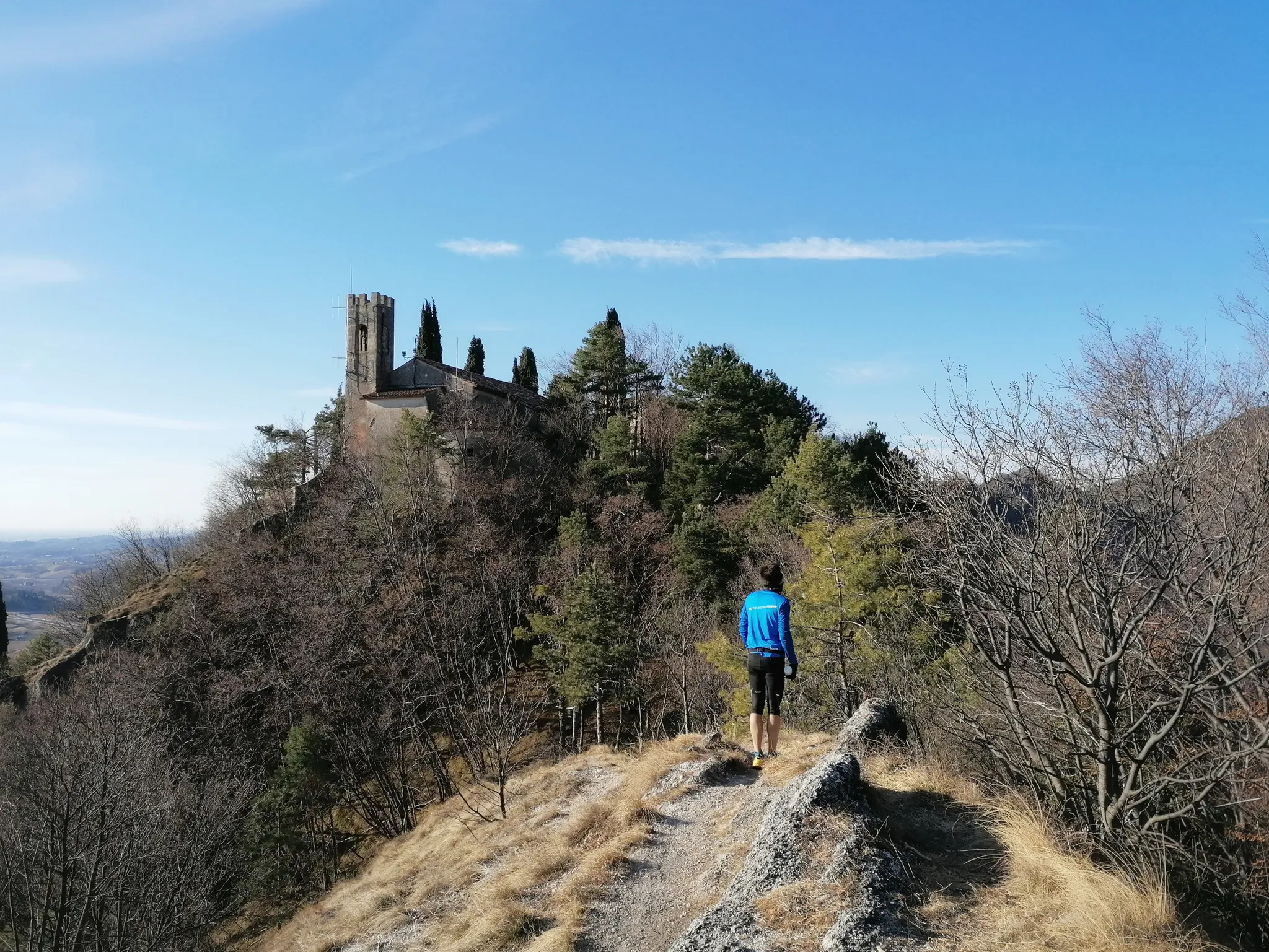
800 years of history from Gemona to Padua – Cammino di Sant'Antonio
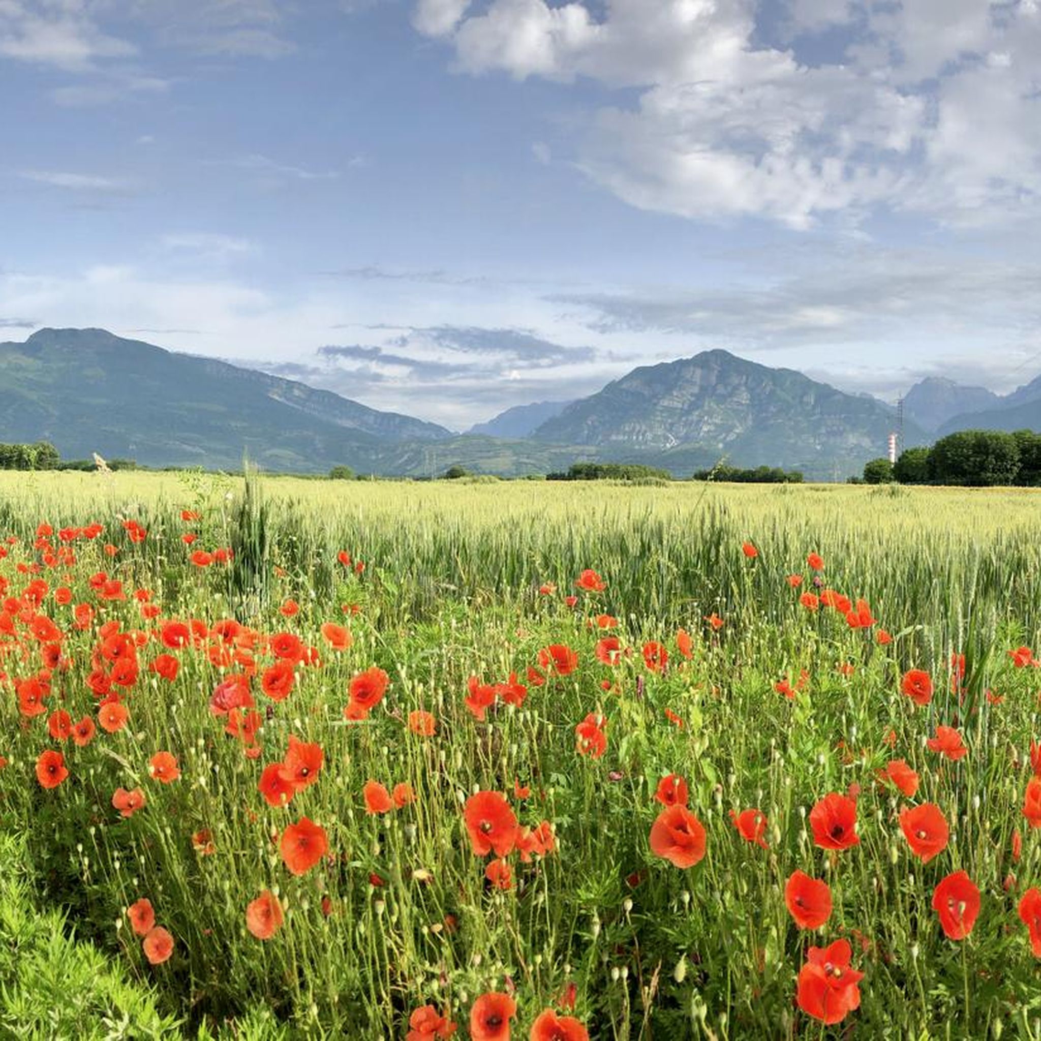
Hiking around Montereale Valcellina
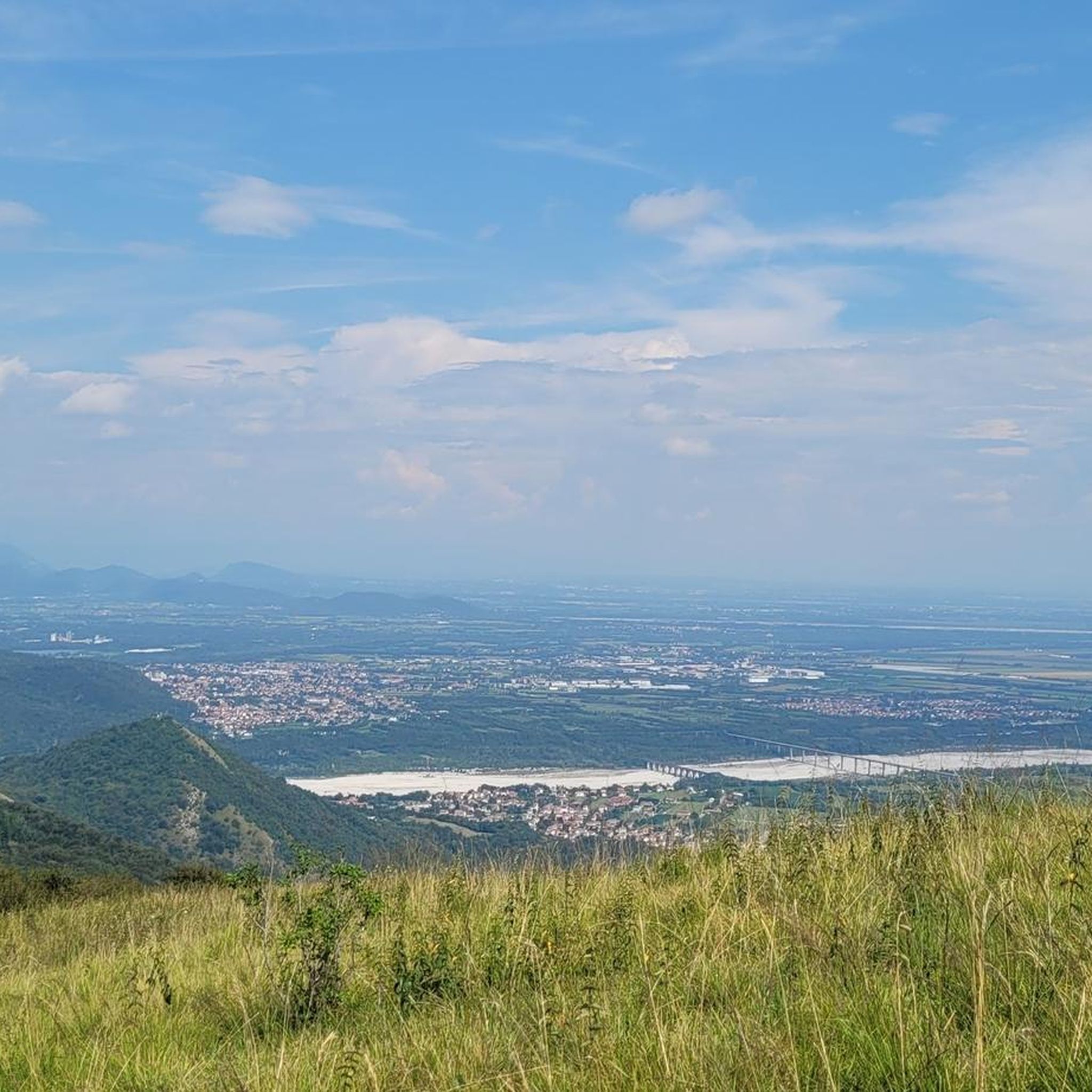
Road Cycling Routes around Montereale Valcellina
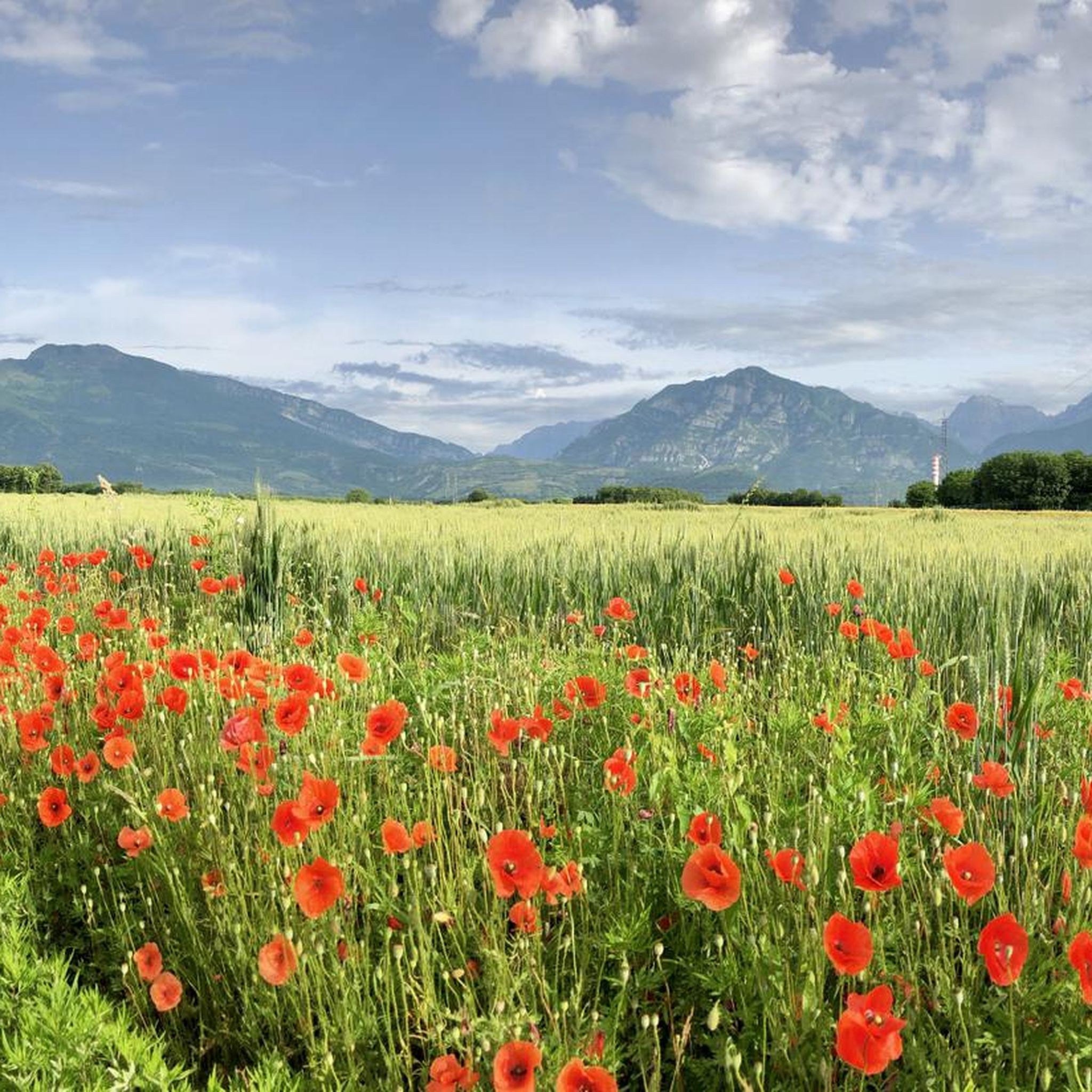
MTB Trails around Montereale Valcellina
Running Trails around Montereale Valcellina
Gravel biking around Montereale Valcellina

Mountain Hikes around Montereale Valcellina
Other adventures around Montereale Valcellina

Tips from the Community

Lake Aprilis, better known as Lake Barcis, is an artificial basin created in 1954 by damming the Cellina stream near the Ponte Antoi gorge. It owes its characteristic brilliant green color to the combination of sunlight with minerals and calcareous sediments carried by the water. The presence of dense beech and fir forests along the banks accentuates the emerald green tones.
1
0

A paved road leads through the valley with some very well-lit tunnels and galleries. In some places, there are beautiful views of the Arrzino riverbed with its crystal-clear water.
0
0


The main square of the town, beautiful, new, scenic.... practically a show
0
0

Fabulous view towards the Cellina riverbed and the plain
0
0


Beautiful view of Barcis from the road that goes up towards Piancavallo.
0
0
Frequently Asked Questions
How many touring cycling routes are available in Montereale Valcellina?
Montereale Valcellina offers a wide selection of touring cycling routes, with over 45 options available. These routes cater to various skill levels, including easy, moderate, and challenging paths.
What kind of terrain can I expect when cycling in Montereale Valcellina?
The region boasts diverse terrain, from the plains to the foothills of the Dolomites. You'll find routes along the dramatic Cellina Gorge, through unique arid grasslands known as the Magredi, and around picturesque Lake Barcis. The topography includes varied mountains and hills like Monte Castello and Monte Spia, offering both flat sections and challenging climbs.
What natural features or landmarks can I see while touring cycling in Montereale Valcellina?
Montereale Valcellina is rich in natural beauty. You can cycle past the stunning Cellina Gorge, explore the unique Magredi grasslands, and enjoy views of Lake Barcis, including from the Dint Skywalk. The area also provides access to excursions in wild mountains that are part of a UNESCO World Heritage site. For specific natural highlights, consider visiting Clautana Pass or Forcella Crous.
Are there any waterfalls or gorges to explore near the cycling routes?
Yes, the region features several impressive natural water formations. You can discover the Prescudin Stream Waterfall, the dramatic Forra Cunaz gorge, and the beautiful La Cianola di Marsure canyon. These offer scenic detours during your cycling adventures.
Can I visit historical sites during my cycling trip in Montereale Valcellina?
Absolutely. Montereale Valcellina has historical and archaeological significance, with findings dating back to the Bronze and Iron Ages. You can combine your rides with visits to historical sites, such as the ruins of Montereale Valcellina's old castle located on Monte Castello.
Are there family-friendly touring cycling routes in Montereale Valcellina?
Yes, the region offers a variety of routes suitable for families. There are 10 easy routes available, often found on designated cycle paths in the plains, providing a relaxed and enjoyable experience for all ages. For example, you might find suitable paths along the Cellina torrent bed.
Are touring cycling routes in Montereale Valcellina suitable for dogs?
While many outdoor areas in Italy are dog-friendly, specific regulations for cycling routes can vary. It's generally advisable to keep dogs on a leash, especially in nature reserves or populated areas. Always check local signage or official tourism information for the most current rules regarding dogs on trails.
Where can I find parking for touring cycling routes in Montereale Valcellina?
Parking availability varies by starting point. Many villages and trailheads in the Montereale Valcellina area offer designated parking spaces. For specific routes, it's recommended to check the route details on komoot or local tourism websites for information on nearby parking facilities.
Is public transport available to access cycling routes in Montereale Valcellina?
Public transport options, such as local buses, may serve Montereale Valcellina and surrounding villages. However, services might be limited, especially to more remote trailheads. It's best to consult local bus schedules or the official Montereale Valcellina tourism website for detailed information on routes and bike transport policies.
What is the best time of year for touring cycling in Montereale Valcellina?
The spring and autumn months generally offer the most pleasant conditions for touring cycling, with mild temperatures and beautiful scenery. Summer can be warm, especially in the plains, while winter might present challenges with colder weather and potential snow in higher elevations. Always check the local weather forecast before your ride.
Are there any challenging touring cycling routes for experienced riders?
Yes, Montereale Valcellina is known for its challenging routes, with 20 difficult tours available. For a demanding ride, consider the Dominu Tower – Monte Spia loop from Montereale Valcellina, which features significant elevation gain over 21.3 km. Another option is the Bridge over the Meduna in Navarons – Poffabro Village loop from Montereale Valcellina, a long and difficult 69.8 km route with over 1400 meters of ascent.
Are there places to eat or stay near the cycling routes?
Montereale Valcellina and its surrounding villages offer various options for refreshments and accommodation. You'll find cafes, pubs, and restaurants where you can refuel, as well as hotels and guesthouses for overnight stays. For more information on local services, you can visit visitmonterealevalcellina.it.
Most popular routes around Montereale Valcellina
Most popular attractions around Montereale Valcellina

Get inspired with the komoot mobile app


Explore more
Browse the best Cycling routes in other regions.
