The best walks and hikes around Garbagnate Monastero
4.4
(8459)
41,467
hikers
732
hikes
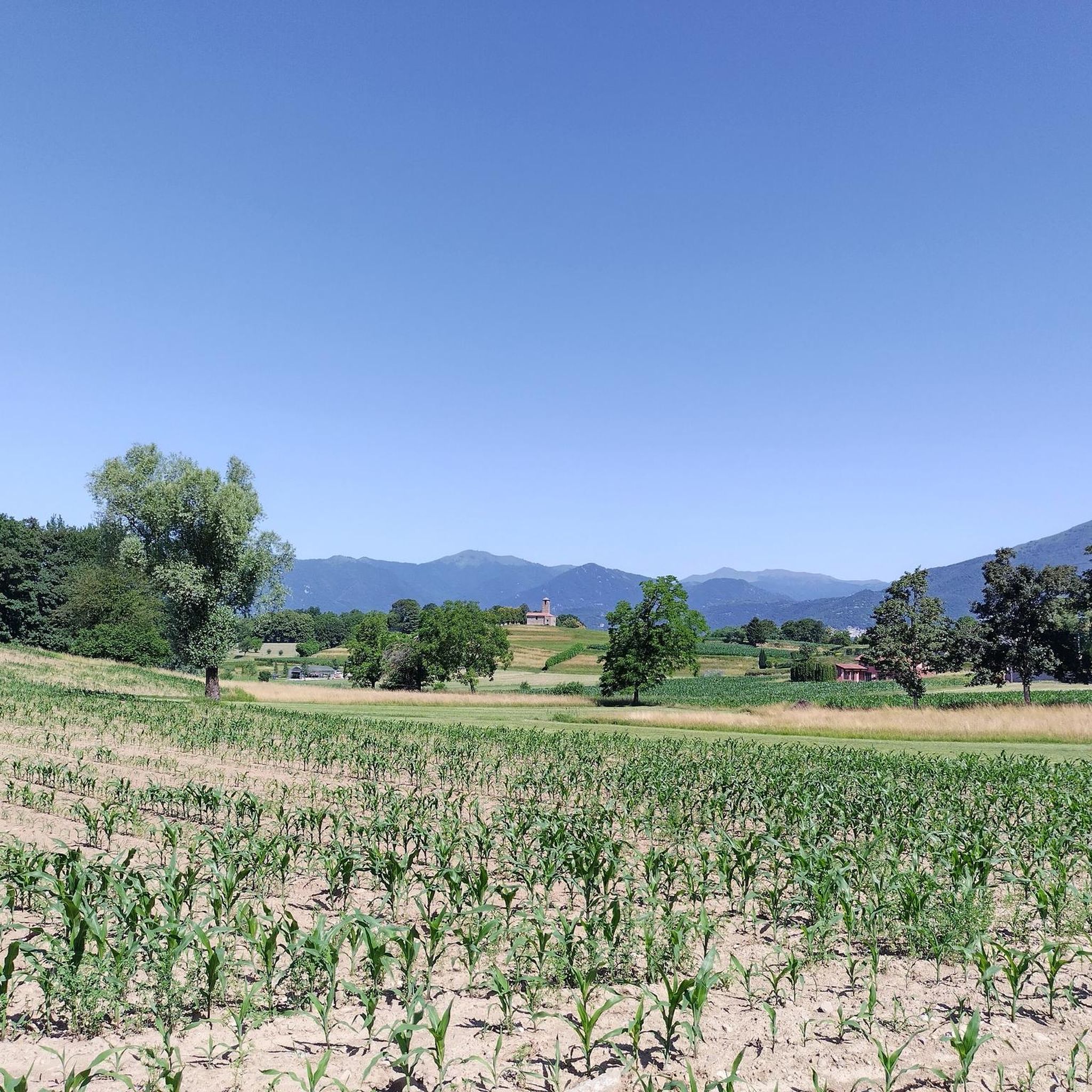
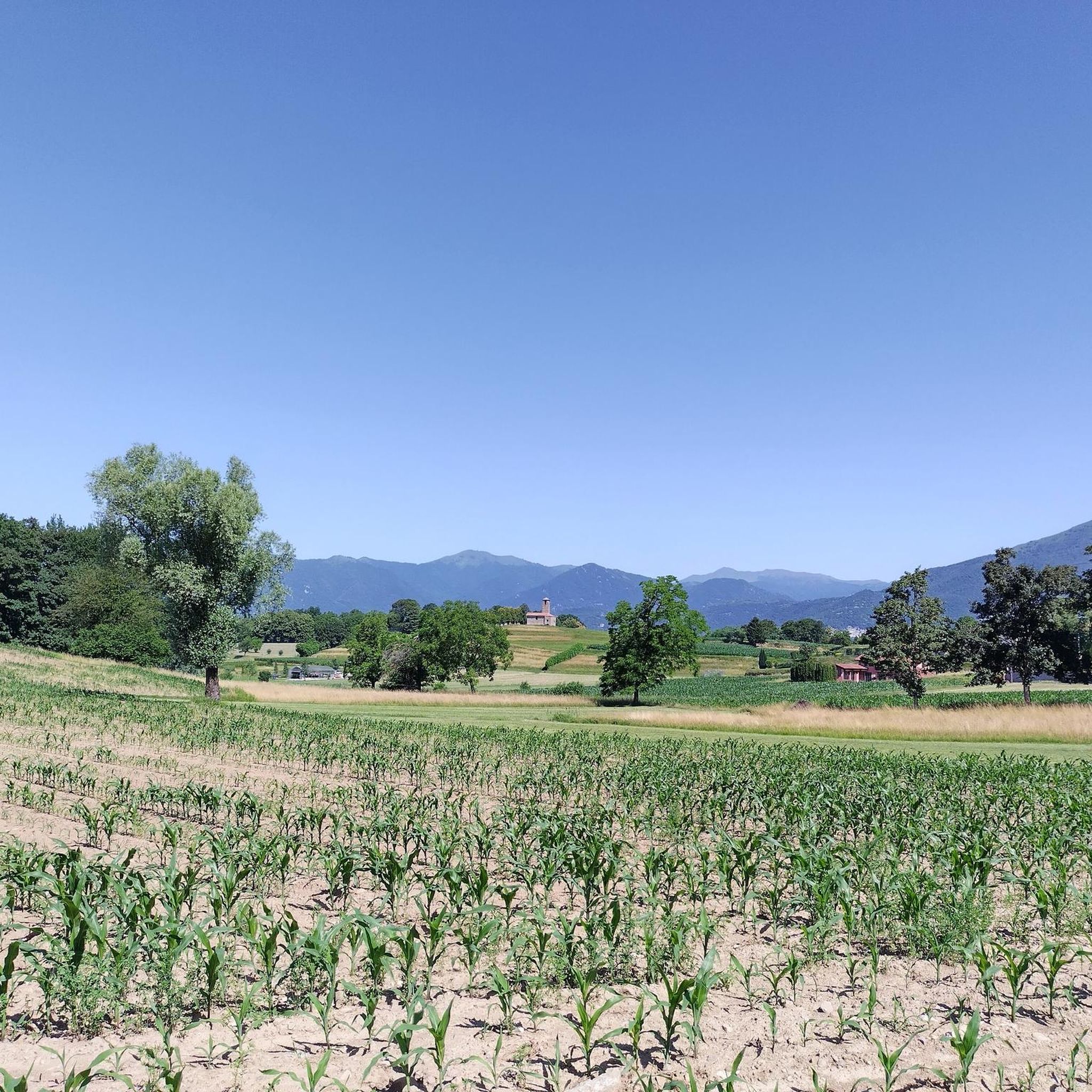
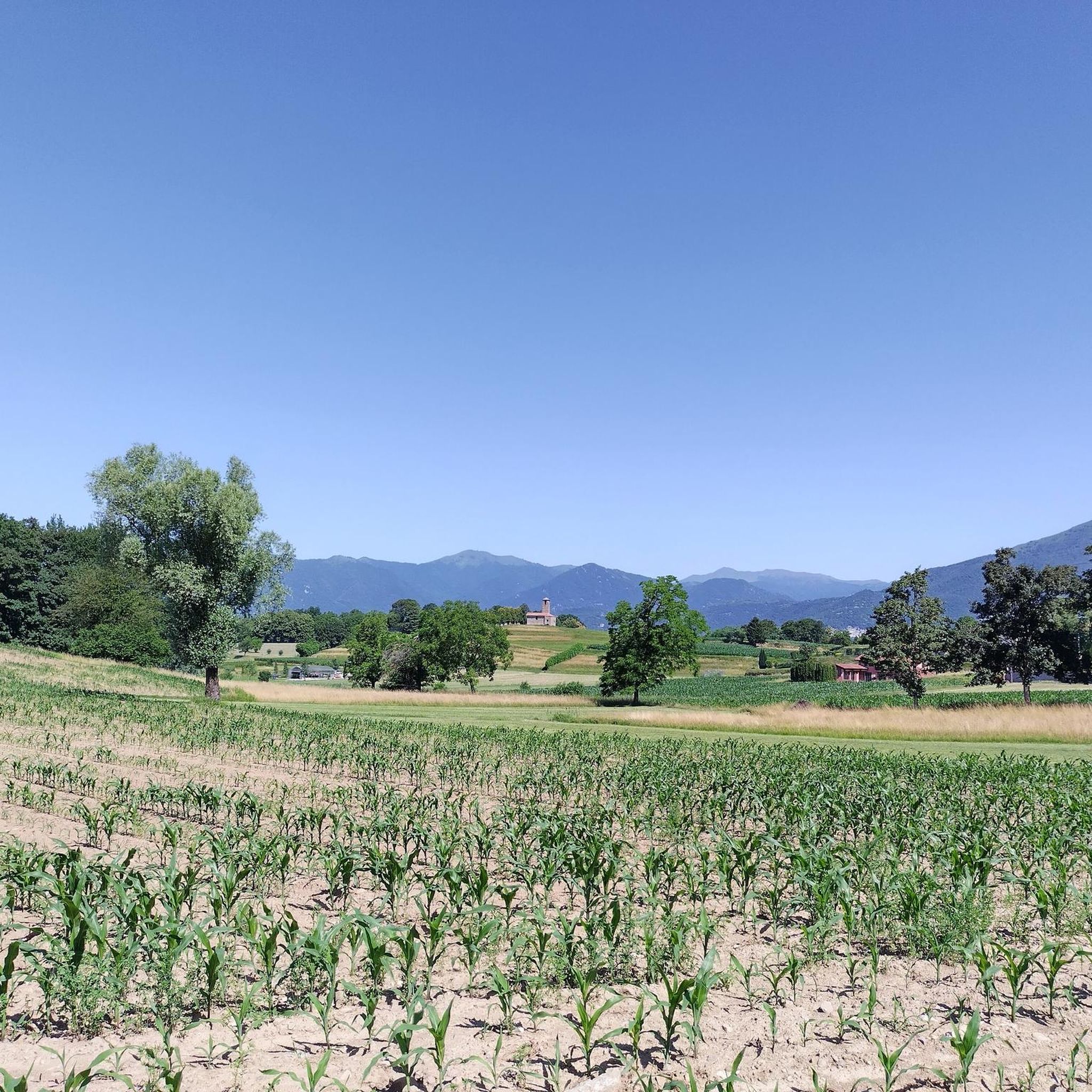
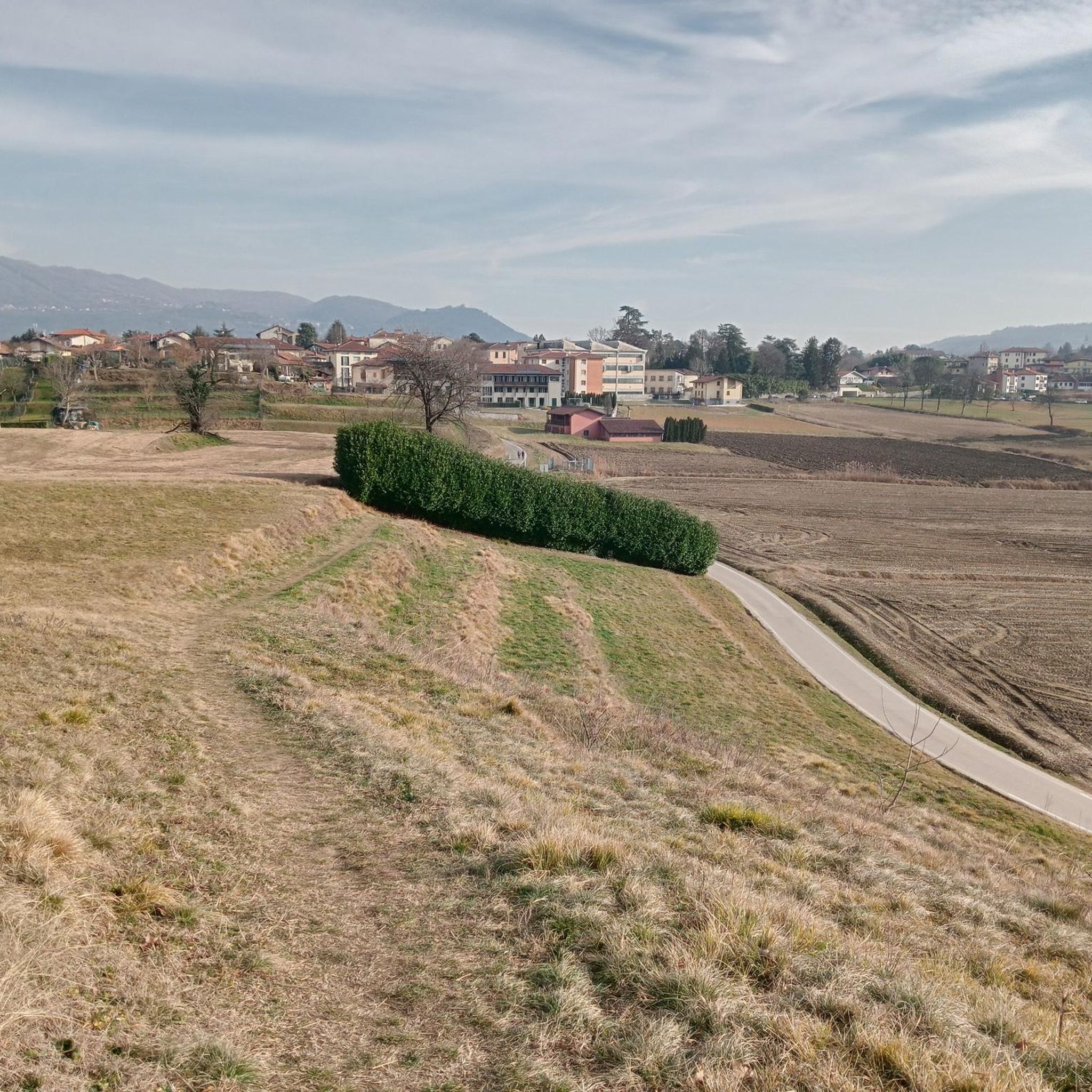
Hiking around Garbagnate Monastero offers varied landscapes within the Brianza Lecchese region of Lombardy, Italy. The area features a hilly terrain with cultivated fields, well-maintained paths, and lush woodlands. Altitudes range from 270 to 334 meters above sea level, with prominent features like Monte Cornizzolo offering panoramic views. This environment provides numerous opportunities for scenic walks and more demanding hikes.
Best hiking trails in Garbagnate Monastero
- The most popular hiking route is Brenno Park – Baggero Oasis Waterfall loop from…
Last updated: August 24, 2026
4.3
(26)
85
hikers
10.9km
02:56
140m
130m
Moderate hike. Good fitness required. Easily-accessible paths. Suitable for all skill levels.
5.0
(4)
26
hikers
11.2km
03:01
140m
140m
Moderate hike. Good fitness required. Easily-accessible paths. Suitable for all skill levels.

Sign up for free
5.0
(1)
20
hikers
7.74km
02:03
80m
80m
Moderate hike. Good fitness required. Easily-accessible paths. Suitable for all skill levels.
5.0
(3)
17
hikers
Moderate hike. Good fitness required. Easily-accessible paths. Suitable for all skill levels.
22
hikers
5.23km
01:23
50m
50m
Easy hike. Great for any fitness level. Easily-accessible paths. Suitable for all skill levels.
Get access to more routes and recommendations from other explorers.
Sign up for free
Already have an account?
Our route recommendations are based on thousands of hikes, rides, and runs completed by other people on komoot.
Start today with a free account
Your next adventure awaits.
Login or Signup

Tips from the Community

unfortunately done after a windy day with paths covered in broken branches, but the place is worth a hike
0
0

I confirm, not passable, a barrier has been added to prevent crossing
0
0

It can be done by bike somehow, but the water is too deep to walk
0
0

A truly incredible valley, between cities and towns, creates a natural area rich in native vegetation and fauna. The cycle path that runs along the Lambro is beautiful, although not recommended for those in BDC.
3
0

The Trovante is the anthropomorphic silhouette that stands out through a play of light and shadow on the side of the Corno Birone and which represents, for the poet and painter Gaetano Orazio, his daimon, the ultimate meaning of his artistic research, the epiphany of that creative drive that accompanied him to the banks of the Rio Toscio to paint while questioning his identity. This figure takes on the value of an identifying element and a protecting deity, becoming a uniting element for the ten municipalities of the area from which it can be observed: Annone Brianza, Barzago, Bosisio Parini, Bulciago, Civate, Costamasnaga, Cremella, Garbagnate Monastero, Molteno and Monticello Brianza.
1
0

dirt road in BAGGERO - a nature reserve with lakes, cycle-pedestrian paths (COSTA MASNAGA)
0
0

A must for cyclists in the areas. A small cobblestone square overlooking the Lambro river and its water mills.
2
0
Frequently Asked Questions
What kind of terrain can I expect when hiking in Garbagnate Monastero?
The Garbagnate Monastero area is characterized by a predominantly hilly and irregular terrain, shaped by ancient glaciers. You'll find a mix of cultivated fields, well-maintained paths, and lush woodlands. Altitudes generally range from 270 to 334 meters above sea level, offering a tranquil setting for exploration.
How many hiking trails are available in Garbagnate Monastero?
There are over 750 hiking trails available in Garbagnate Monastero, catering to various skill levels. This includes more than 250 easy routes, over 380 moderate trails, and around 110 more challenging options.
Are there any trails suitable for families with children?
Yes, Garbagnate Monastero offers several family-friendly trails. An excellent option is the Church of San Martino loop from Garbagnate Monastero, which is an easy 5 km route with minimal elevation gain, perfect for a leisurely walk with the family.
Can I bring my dog on the hiking trails?
Many trails in Garbagnate Monastero are suitable for dogs, especially those through woodlands and cultivated fields. It's always recommended to keep your dog on a leash, especially near agricultural areas or wildlife, and to check local regulations for specific routes.
What natural attractions or viewpoints can I discover along the trails?
Hikers can enjoy several natural attractions and panoramic viewpoints. Cypress Peak offers wonderful views and is surrounded by ancient cypress trees. For broader vistas, Monte Cornizzolo provides excellent panoramic views of Lake Como, Lake Pusiano, Lake Annone, and Lake Garlate. You might also encounter the intriguing 'pyramids' of Cima dei Cipressi.
Are there any historical landmarks to see while hiking?
Yes, you can combine your hike with cultural stops. The 13th-century Church of San Martino, built on a hill, is a notable landmark. Another historical site is the 12th-century Oratorio dei Santi Nazaro e Celso, which offers panoramic views and houses significant artifacts. The Church of San Martino loop from Molteno is a great way to explore this area.
What do other hikers say about the trails in Garbagnate Monastero?
The routes in Garbagnate Monastero are highly rated by the komoot community, with an average score of 4.4 stars from over 6,900 reviews. Hikers often praise the tranquil atmosphere, the well-maintained paths through lush woods, and the scenic views from the hilly terrain.
Are there any circular hiking routes available?
Yes, many routes in the area are circular, allowing you to start and end at the same point. For example, the Brenno Park – Baggero Oasis Waterfall loop from Costa Masnaga is a popular circular trail that takes you through Brenno Park to a waterfall.
What is the best time of year to go hiking in Garbagnate Monastero?
The region's mild climate makes it suitable for hiking for much of the year. Spring and autumn offer pleasant temperatures and vibrant scenery, with blooming flowers or colorful foliage. Summer can be warm, but the abundant woodlands provide shade. Winter hiking is also possible, though some paths might be muddy or require appropriate footwear.
Is there parking available near the trailheads?
Parking is generally available in and around the villages that serve as starting points for many trails, such as Garbagnate Monastero itself or nearby Molteno and Costa Masnaga. Specific parking details can often be found on individual route descriptions.
Are there any routes that feature waterfalls?
Yes, you can find routes that lead to natural water features. The Brenno Park – Baggero Oasis Waterfall loop from Costa Masnaga is a well-known trail that specifically highlights a waterfall within Brenno Park.
What are the typical elevation changes on trails in this region?
Given the hilly terrain, you can expect moderate elevation changes on many trails. For instance, a route like the Church of San Martino – Tour of the Sirone Hill loop from Garbagnate Monastero involves around 177 meters of ascent and descent, offering a good workout without being overly strenuous.
Most popular routes around Garbagnate Monastero
Most popular attractions around Garbagnate Monastero

Get inspired with the komoot mobile app


Explore more
Browse the best Hikes in other regions.
