Top 20 Mountain Passes around Innichen - San Candido
Mountain passes around Innichen - San Candido are situated in the heart of the Dolomites, offering access to elevated areas and significant mountain crossings. This region provides diverse terrain, from historical routes to challenging trails, connecting valleys and offering panoramic views. The area is characterized by its mountainous landscape, serving as a gateway to various outdoor activities.
Best mountain passes around Innichen - San Candido
- The most popular mountain pass is Kreuzberg Pass (Passo Monte Croce di Comelico), a…
Last updated: June 26, 2026
Lavaredo Fork
Highlight • Viewpoint
Translated by Google •
Tip by

View of the Tre Cime di Lavaredo
Highlight • Viewpoint
Translated by Google •
Tip by

Sign up now to discover places like this
Get recommendations on the best single tracks, peaks, & plenty of other exciting outdoor places.
Sign up for free
View of the Tre Cime di Lavaredo
Highlight • Viewpoint
Translated by Google •
Tip by

Forcella Col di Mezzo
Highlight • Viewpoint
Translated by Google •
Tip by

Kreuzberg Pass (Passo Monte Croce di Comelico)
Highlight • Mountain Pass
Translated by Google •
Tip by

Sign up for free to discover even more mountain passes around Innichen - San Candido.
Sign up for free
Already have an account?
Start today with a free account
Your next adventure awaits.
Login or Signup
Popular around Innichen - San Candido
Austria's High & Holy Pilgrimage Trail – Walking across mountains and borders
Dolomites gold on the Kronplatz – the most beautiful Tours!
Wonderful bike Tours with views of the South Tyrolean Dolomites
Hike majestic landscapes in the Italian Dolomites – Alta Via 4
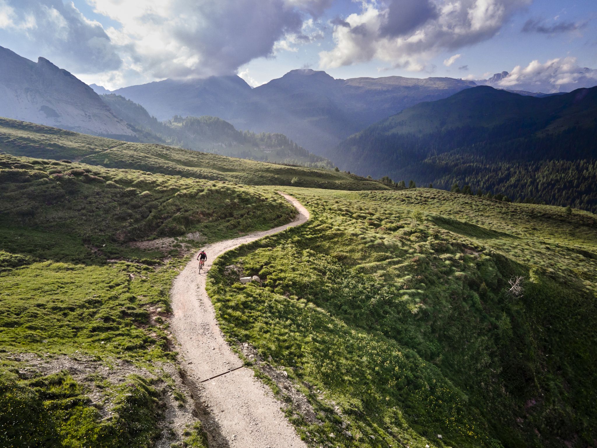
Mountain biking in the heart of the Dolomites
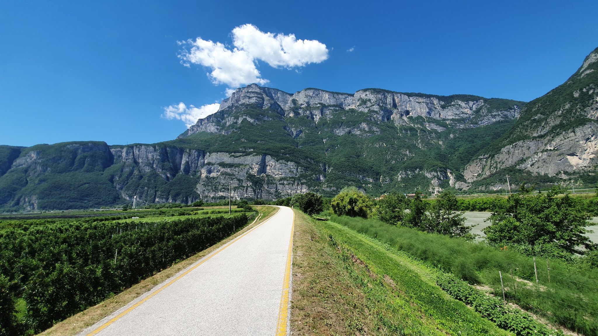
Ciclopista del Sole – Brenner Pass to Florence by bike
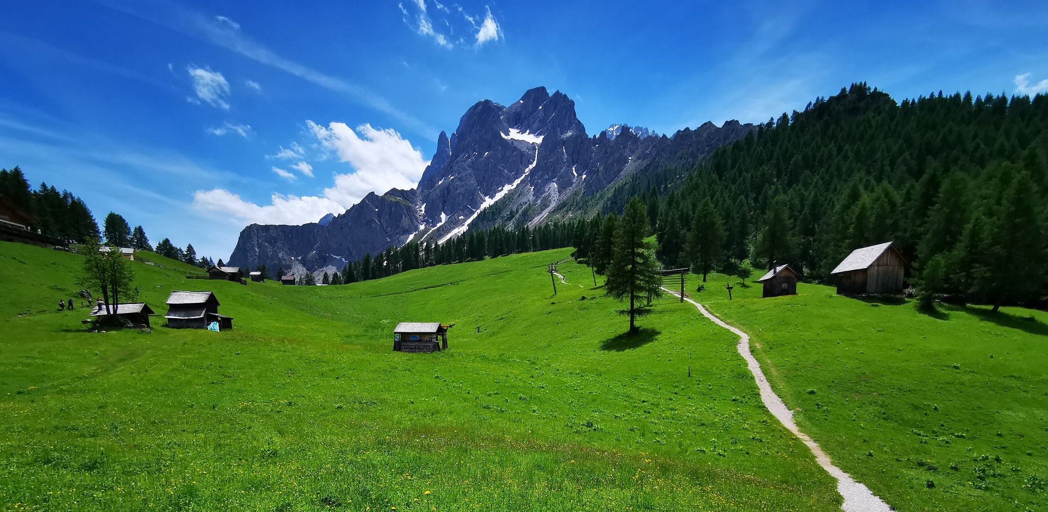
A 3-day MTB adventure – Dolomites Stoneman Challenge
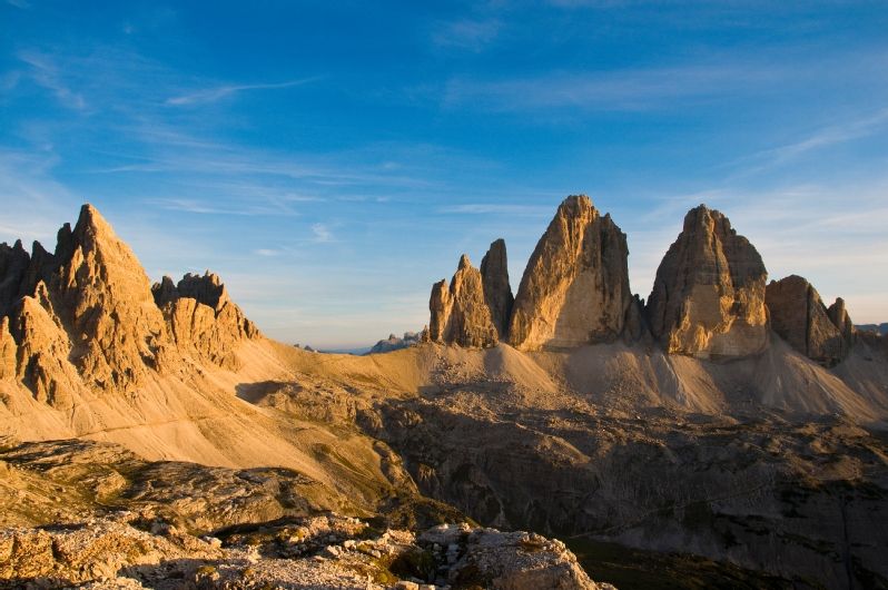
Trail love around the Tre Cime di Lavaredo
Hiking around Innichen - San Candido
Cycling around Innichen - San Candido
Other adventures around Innichen - San Candido


Tips from the Community

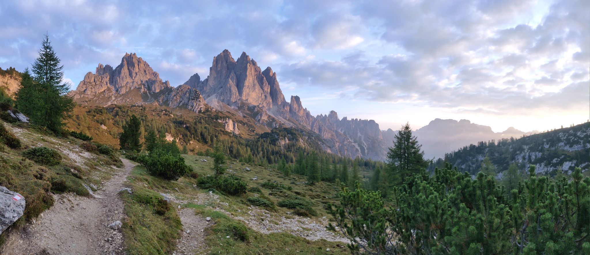
The Patern Saddle, also known as Forcella Lavaredo, lies at an altitude of approximately 2,454 meters between the Lavaredo Hut and the Dreizinnen Hut. It is one of the most famous viewpoints in the Sesto Dolomites and offers direct views of the imposing north faces of the Three Peaks. The pass is easily accessible, usually via the hiking trail from the Auronzo Hut, and is considered a key point on the classic circular route around the Three Peaks. Thanks to its location, it is not only a popular photo opportunity but also a place to linger before continuing on to the surrounding huts or embarking on more challenging mountain tours.
29
0
From the Rifugio Auronzo, a stunning panorama opens up: striking peaks tower into the sky, while the changing colors of sunrise and sunset bathe the rocks in a special light. Those who want to experience this atmosphere uninterrupted should arrive early in the morning—later in the day, the place quickly fills with visitors.
41
0
The Auronzo Hut is located along the Alta Via No. 4 "von Grohmann", a long-distance hiking trail that begins in San Candido in the Puster Valley, passes the Dreischuster Hut (Rifugio Tre Scarperi) and finally ends in Pieve di Cadore.
13
1
At an altitude of 2,333 meters, the Auronzo Hut sits amidst the impressive backdrop of the Three Peaks. Thanks to its convenient location, it is easily accessible both on foot and by car. Managed by the CAI Auronzo Alpine Club, the hut sleeps 104 guests in double and six-bed rooms. Guests can expect not only unparalleled views but also excellent cuisine and the warm hospitality of the team.
11
1

The western pass that you overcome on the standard rune around the Three Peaks - a little less steep than in the east (although both are actually quite harmless).
4
0

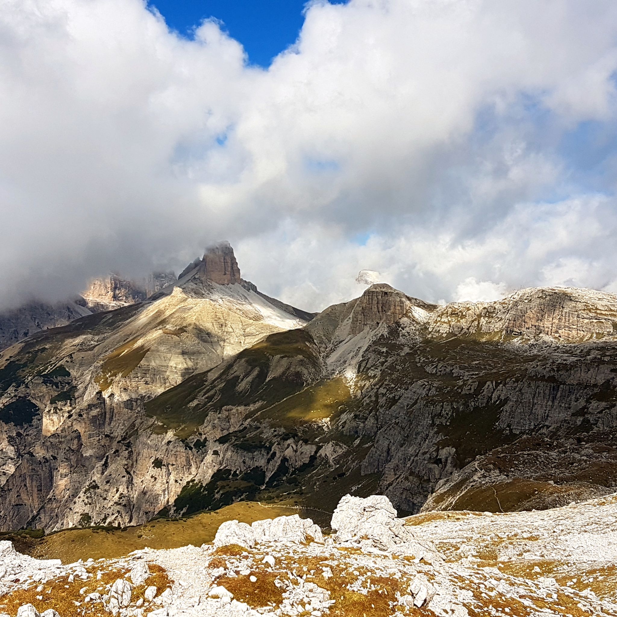
You are faced with one of the most iconic natural wonders in the world. Symbol of the Dolomites, recognized as a UNESCO heritage site, the Tre Cime di Lavaredo ('Die Drei Zinnen' in German) are made up of the Cima Grande (2,999 m), the Cima Ovest (2,973 m) and the Cima Piccola (2,857 m).
7
0

The forcella Col di Mezzo is a mountain pass located at 2315 meters above sea level, at the foot of the Three Peaks of Lavaredo. It is located right at the intersection where you can head towards the Auronzo refuge, towards the Langalm refuge or towards the valley, towards Lake Antorno.
4
0
Shortly before the yoke you can see the imposing walls of the Three Peaks again.
7
0
Frequently Asked Questions
What are some of the most popular mountain passes and elevated areas to visit near Innichen - San Candido?
Among the most popular are Kreuzberg Pass (Passo Monte Croce di Comelico), known for its historical significance and panoramic views, and the Croda Rossa area, which is easily accessible by cable car. The Old Military Road to Marchkinkele, leading to the Strickberg Stoneman stamping point, is also highly regarded for its challenging ascent and rewarding vistas.
Are there family-friendly mountain passes or elevated areas around Innichen - San Candido?
Yes, the Croda Rossa area is particularly family-friendly. You can reach the Prati di Croda Rossa meadows by cable car, offering easy hikes through forests and meadows. Kreuzberg Pass (Passo Monte Croce di Comelico) is also considered family-friendly, providing accessible views and recreational opportunities.
What kind of historical significance do the mountain passes in this region hold?
Many passes, like Kreuzberg Pass (Passo Monte Croce di Comelico), were significant sites during World War I, forming part of the Dolomite front where fierce battles occurred. You can still find relics and fortifications from the war in the surrounding areas, and the Old Military Road to Marchkinkele is itself a historical trail.
What are the best viewpoints for panoramic scenery near Innichen - San Candido?
For breathtaking views, visit the View of the Tre Cime di Lavaredo, where you get a fantastic perspective of the iconic Three Peaks. The Strickberg Stoneman stamping point, accessible via the Old Military Road to Marchkinkele, also offers wonderful panoramic views of the Sexten Dolomites. Additionally, Büllelejoch / Pian di Cengia Pass provides a fantastic mountain panorama with cliffs and two blue lakes.
When is the best time to visit the mountain passes around Innichen - San Candido?
The best time to visit for hiking and cycling is typically from late spring to early autumn (May to October) when the passes are clear of snow and the weather is favorable. In winter, areas like Croda Rossa and Kreuzberg Pass transform into ski paradises, with the latter usually accessible even in winter.
What outdoor activities can I do near these mountain passes?
The region offers a wide range of activities. You can enjoy mountain biking, especially on challenging routes like the Strickberg, which is part of the Stoneman Dolomiti challenge. Hiking is also very popular, with numerous trails accessible from passes like Kreuzberg Pass and the Croda Rossa meadows. In winter, skiing is a major attraction.
Are there specific hiking trails near the mountain passes?
Yes, many passes serve as starting points for hikes. From the Croda Rossa meadows, you can embark on hikes along the base of the Sexten mountains towards Passo Monte Croce di Comelico. For more options, explore the various mountain hikes available in the region, such as those found in the Mountain Hikes around Innichen - San Candido guide.
What kind of terrain and difficulty can I expect on trails around these passes?
The terrain varies from easy, family-friendly paths in areas like the Croda Rossa meadows to challenging ascents such as the Old Military Road to Marchkinkele, which has an average gradient of 11% over almost 5 km. Many trails are intermediate, offering varied terrain and dramatic vistas suitable for different skill levels.
How accessible are the mountain passes by car or public transport?
Passo Monte Croce di Comelico is usually accessible by car even in winter and offers parking facilities. The Croda Rossa area is highly accessible via a cable car from Moos (Moso). While some passes are easily reached, others may require a drive followed by a hike or bike ride.
What do visitors enjoy most about the mountain passes around Innichen - San Candido?
Visitors frequently highlight the stunning panoramic views of the Dolomites, the rich historical significance, and the diverse recreational opportunities. The sense of achievement after a challenging ascent, like to the Strickberg Stoneman stamping point, and the peaceful natural beauty are often mentioned as rewarding experiences.
Are there any other notable passes slightly further afield but still within the broader Dolomites region?
Yes, Passo Tre Croci, located at 1,809 meters, connects Cortina d'Ampezzo with the road between Dobbiaco and Auronzo di Cadore. It's an important regional pass known for its scenic views and as a starting point for popular Dolomite trails, including the path to Lake Sorapiss.
Can I find facilities like restaurants or cafes near the mountain passes?
Yes, Kreuzberg Pass (Passo Monte Croce di Comelico) has facilities including restaurants. In general, popular passes and elevated destinations often have amenities for visitors, especially during peak seasons.
Most popular routes around Innichen - San Candido
Most popular attractions around Innichen - San Candido

Get inspired with the komoot mobile app


Explore more
See even more epic mountain passes by checking out these guides around Innichen - San Candido:
