The best running trails around San Vito Di Cadore
4.6
(10)
1,120
runners
37
runs
Jogging around San Vito Di Cadore offers routes through the heart of the Dolomites, a UNESCO World Heritage site. The region is characterized by majestic peaks such as Monte Antelao, Monte Pelmo, and Sorapis, providing a dramatic backdrop for running. Trails often follow the Boite Valley and its river, or circle tranquil spots like Lake Mosigo, surrounded by green meadows and forests. The landscape features a mix of challenging mountain ascents and gentler paths, catering to various fitness levels.
Best…
Last updated: October 24, 2026
3.0
(1)
31
runners
9.14km
01:41
460m
460m
8.86km
01:33
560m
560m

73
runners
21.0km
03:47
1,180m
1,180m
Hard run. Very good fitness required. Sure-footedness, sturdy shoes and alpine experience required.
18
runners
19.2km
03:44
1,160m
1,160m
Hard run. Very good fitness required. Sure-footedness, sturdy shoes and alpine experience required.
57
runners
8.21km
01:08
520m
520m
Hard run. Very good fitness required. Mostly paved surfaces.
Get access to more routes and recommendations from other explorers.
Already have an account?
Our route recommendations are based on thousands of hikes, rides, and runs completed by other people on komoot.
Start today with a free account
Your next adventure awaits.
Popular around San Vito Di Cadore
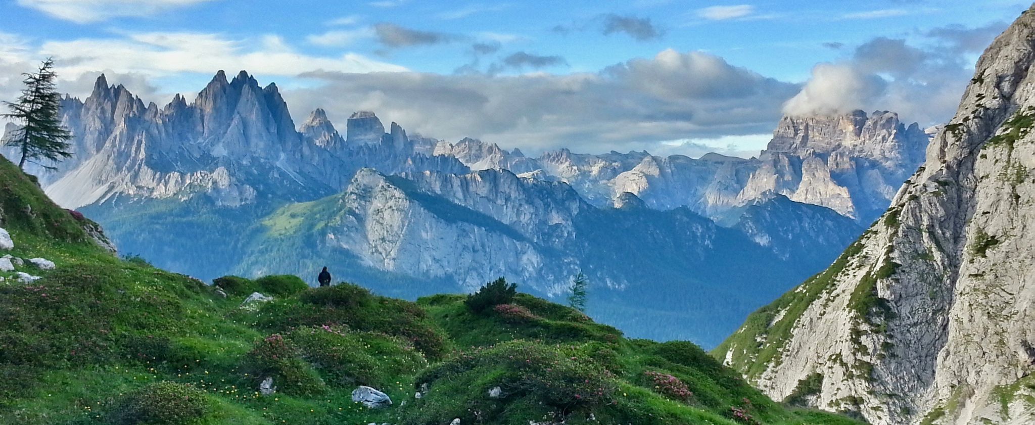
Alta Via No. 5 — Tizians High Route
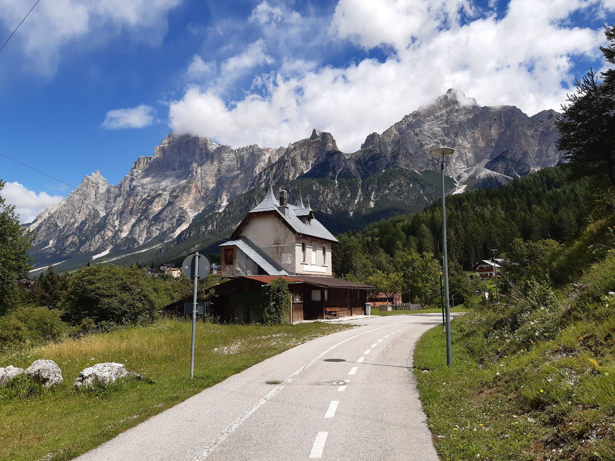
Two days of relaxation and mountains – Dolomites cycle route
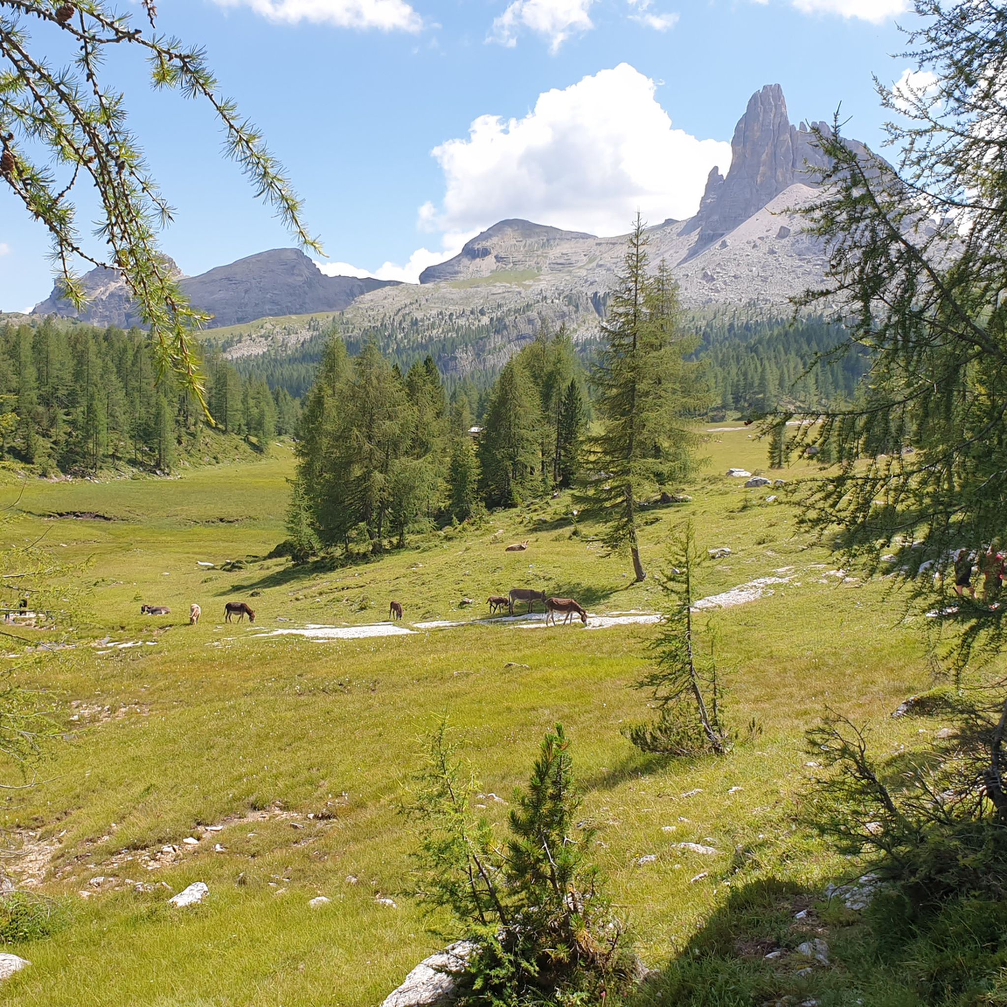
Hiking around San Vito Di Cadore
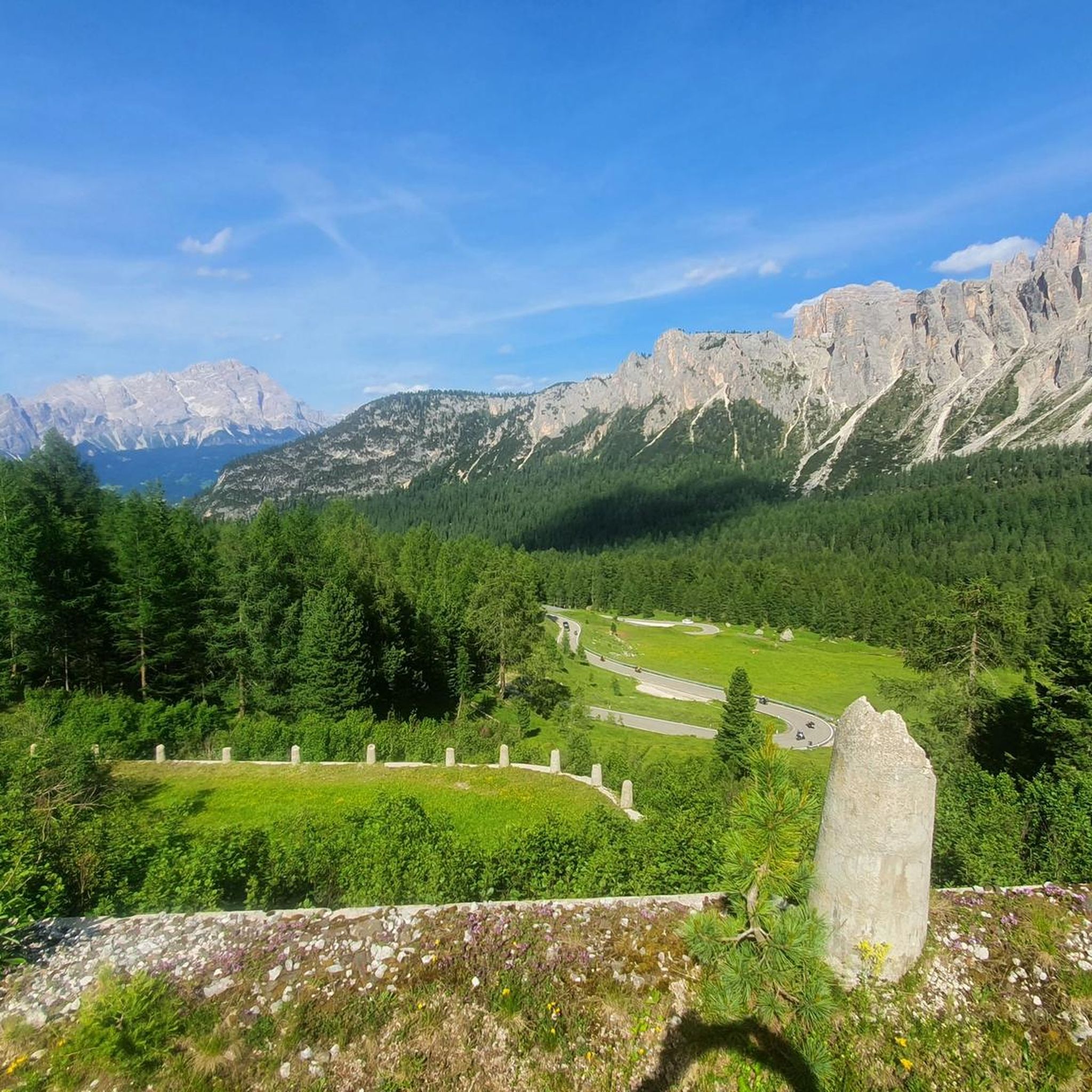
Road Cycling Routes around San Vito Di Cadore
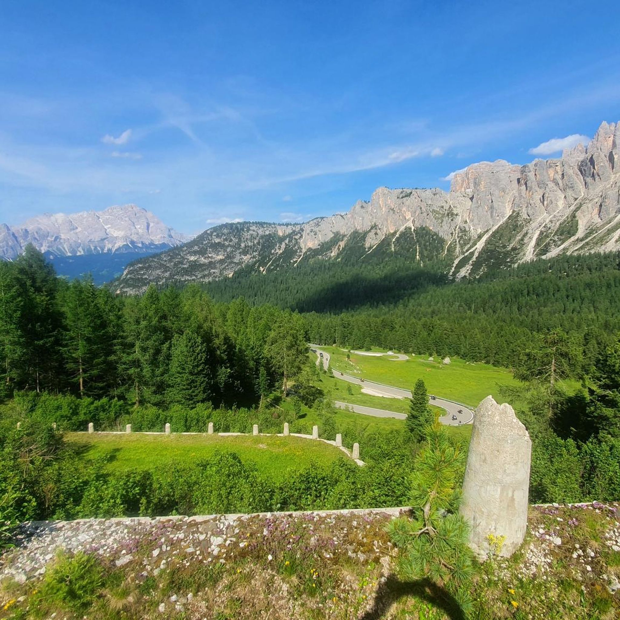
Cycling around San Vito Di Cadore
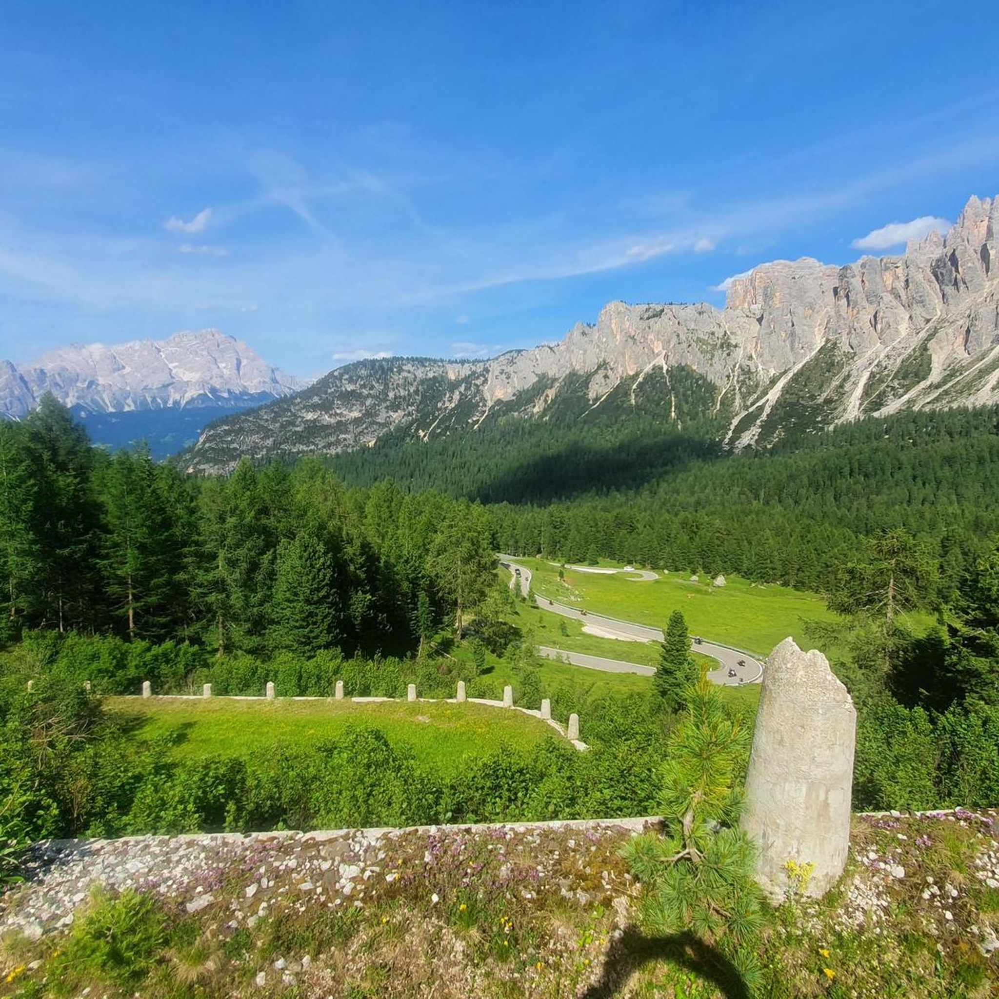
MTB Trails around San Vito Di Cadore
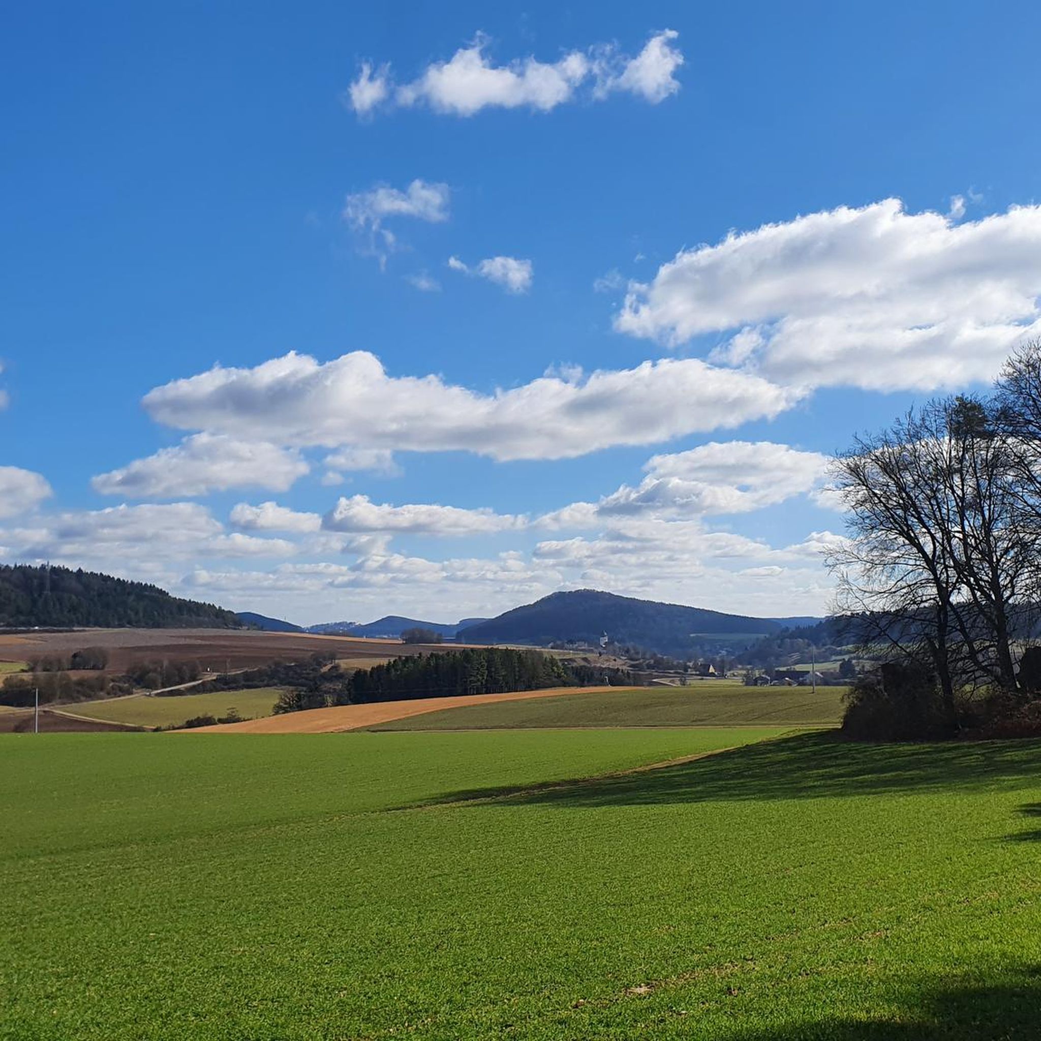
Mountain Hikes around San Vito Di Cadore
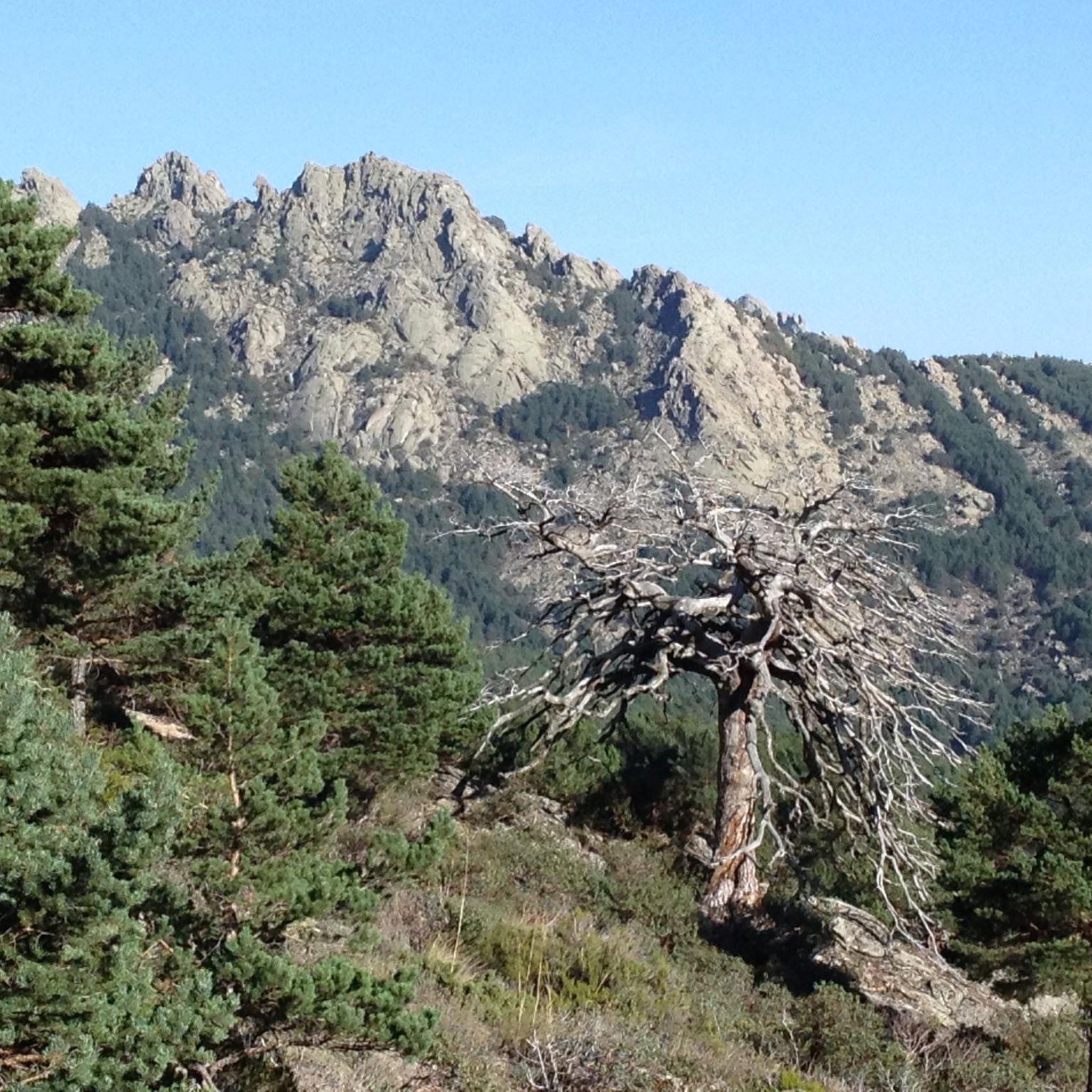
Gravel biking around San Vito Di Cadore
Other adventures around San Vito Di Cadore


Tips from the Community


A breathtaking vantage point from which to enjoy a 360° panorama of all the surrounding Dolomites and Mount Pelmo, which with its height always offers breathtaking views.
1
0
From this pass, you can admire a 360° panorama of the entire Dolomites and the Mondeval plain with Mount Pelmo in the background. A breathtaking view.
1
0

At the top of the pass, you'll be rewarded for the strenuous climb: a fantastic panorama in both directions!
1
0

super beautiful trail in breathtaking scenery
0
0


The Croda da Lago tour is a circular hike that starts below the Giau Pass (2,236 m), passes the Forcella Ambrizzola pass and the Palmieri or Croda da Lago refuge on Lake Federa. It can be completed via several CAI trails, ranging in difficulty from medium to difficult, and lasting approximately 5-6 hours, offering exceptional views of the Dolomites. The tour can be done clockwise, starting from Rucurto (mostly uphill), or counterclockwise, starting from the Giau Pass (mostly downhill, except for the initial steep climb to the Forcella Giau pass). Route and Trails 1. Departure from the Giau Pass: From here, take CAI trail 436 towards the Forcella Giau pass and then the Forcella Ambrizzola pass. 2. Crossing the Mondeval Plateau: The trail continues across the plateau, offering views of the Lastoni di Formin, Croda da Lago, and the peaks of the Dolomites (Civetta, Pelmo, etc.). 3. Arrival at Lake Federa: You reach the lake where the Palmieri or Croda da Lago refuge is located. 4. Return (loop): Option 1 (trail 434): From the Forcella Ambrizzola pass, you can take trail 434 that descends to the refuge and then continues to the arrival point in Rucurto. Option 2 (trails 435 and 437): Another route involves passing the Forcella d'Ambrizzola pass (or Forcella Rossa di Formin) and then descending along trail 437 into the Val de Formin, rejoining the arrival point at the Ponte de Rucurto bridge. Features and recommendations Difficulty: Medium-difficult, due to the steep initial climb and elevation gain. Duration: Approximately 5-6 hours for the entire loop. Two cars are recommended: one to leave at the finish line and the other to pick up at the start, about 5 km away. Length: Approximately 13 km. Points of interest: In addition to the landscape, there is a site of historical and anthropological interest: the Mesolithic burial site of Mondeval Man.
0
0

We set out without much equipment. You can leave your car on the road at Passo Giau and hike.
0
0
Frequently Asked Questions
How many running routes are available in San Vito di Cadore?
There are over 20 running routes around San Vito di Cadore, offering a wide range of options for different fitness levels and preferences. The komoot community has explored more than 20 routes in the area.
What kind of terrain can I expect on the running trails around San Vito di Cadore?
The terrain varies significantly, from relatively flat, paved paths like sections of the 'Long Way in the Dolomites' cycle path, to challenging mountain ascents through the UNESCO World Heritage Dolomites. You'll find trails along the scenic Boite Valley, around tranquil spots like Lake Mosigo, and up to alpine refuges with panoramic views.
When is the best time of year to go jogging in San Vito di Cadore?
The best time for jogging in San Vito di Cadore is typically from late spring through early autumn (May to October) when the weather is mild, and trails are generally free of snow. During these months, you can fully enjoy the stunning Dolomite scenery.
Are there easy running routes suitable for beginners or families in San Vito di Cadore?
Yes, there are easier options. The Lake Mosigo Ring Walk is an easy 2.69 km loop with minimal elevation gain, perfect for a gentle jog or a family outing. Sections of the 'Long Way in the Dolomites' cycle path also provide relatively flat and accessible terrain.
Are there challenging running routes for experienced runners?
Absolutely. San Vito di Cadore is known for its demanding trails. Routes like the Passo Giau – Rifugio Averau loop from Passo di Giau, a 20.6 km route with over 1,100m of elevation gain, offer significant challenges and breathtaking rewards for experienced trail runners.
Can I find running routes with historical significance in the area?
Yes, some trails in the Dolomites around San Vito di Cadore offer glimpses into WWI history. For example, the area features sites like the Lagazuoi Tunnels and World War I Trenches and the Cengia Martini World War I Outpost, which can be incorporated into longer running adventures.
Are there any running trails that offer views of the famous Dolomite peaks?
Many routes provide spectacular views of the Dolomites. The Nuvolau Loop Trail, for instance, offers panoramic vistas from Rifugio Averau and Rifugio Nuvolau, showcasing peaks like Monte Antelao, Monte Pelmo, and Sorapis.
Is there a relatively flat running path in San Vito di Cadore?
Yes, the 'Long Way in the Dolomites' cycle path, which follows the old Dolomites railway, offers an excellent, relatively flat option for jogging. An asphalted section connects Borca to San Vito, providing a smooth surface ideal for a steady run.
Are the running trails in San Vito di Cadore dog-friendly?
Many trails in the San Vito di Cadore area are dog-friendly, allowing you to enjoy a run with your canine companion. However, it's always advisable to keep dogs on a leash, especially in protected areas or near livestock, and to check specific trail regulations before heading out.
What are the parking options for accessing running trails in San Vito di Cadore?
Parking is generally available in and around San Vito di Cadore, with designated parking areas near trailheads and in the town center. For routes starting from specific points like Passo Giau, there are usually parking facilities available, though they can fill up during peak season.
What do other runners appreciate most about the trails in San Vito di Cadore?
The komoot community highly rates the running trails in San Vito di Cadore, with an average score of 4.8 stars. Runners frequently praise the stunning Dolomite scenery, the variety of routes catering to all levels, and the well-maintained paths that offer both serene lakeside runs and challenging mountain ascents.
Are there many circular running routes available?
Yes, San Vito di Cadore offers a good selection of circular or loop running routes. These are popular as they allow you to experience diverse scenery without retracing your steps. Examples include the Nuvolau and Cinque Torri Loop Trail and the San Vito di Cadore village – A look at the Tofane loop from San Vito di Cadore.
Most popular routes around San Vito Di Cadore
Most popular attractions around San Vito Di Cadore

Get inspired with the komoot mobile app


Explore more
Browse the best Running Trails & Routes in other regions.
