The best mountain hikes around Pieve Di Cadore
4.8
(16)
141
hikers
14
hikes
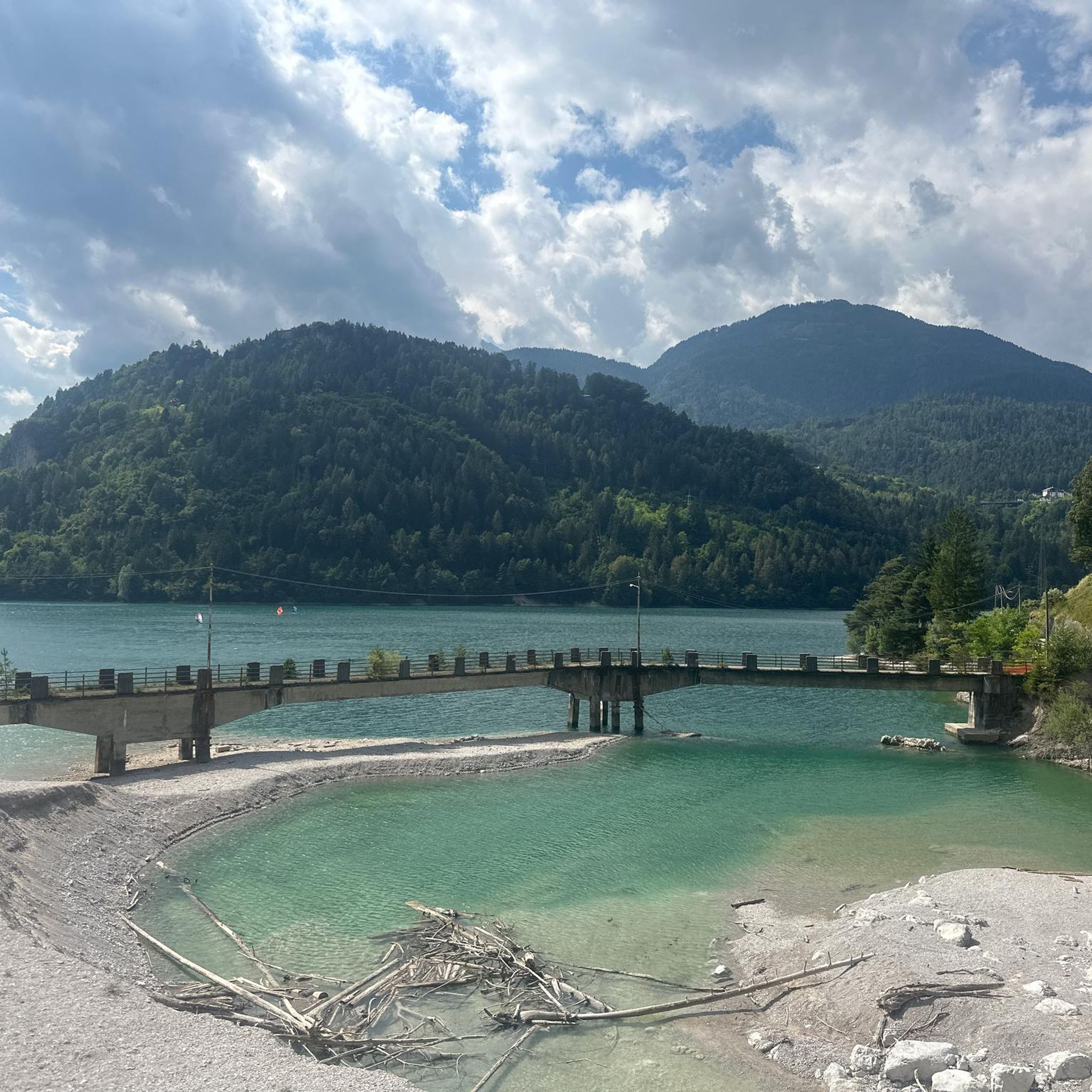
Mountaineering routes around Pieve Di Cadore are situated within the Belluno Dolomites, a region characterized by dramatic Dolomite massifs and high peaks. The area is dominated by the Antelao Group, Marmarole, and Sorapiss mountains, offering varied terrain for ascents. Pieve di Cadore itself sits at an altitude of 878 meters, providing access to extensive trail networks and mountain huts. Notable features include Lake Centro Cadore, surrounded by forests and meadows, and Monte Ricco, a hill offering panoramic views.
Best mountaineering…
Last updated: August 28, 2026
5.0
(2)
29
hikers
16.5km
09:00
1,360m
1,360m
Hard mountaineering route. Very good fitness required. Sure-footedness, sturdy shoes and alpine experience required.
5.0
(4)
34
hikers
Moderate mountaineering route. Good fitness required. Mostly accessible paths. Sure-footedness required.

Sign up for free
4.3
(3)
30
hikers
8.44km
03:33
640m
640m
Moderate mountaineering route. Good fitness required. Mostly accessible paths. Sure-footedness required.
8
hikers
15.5km
05:39
950m
950m
Hard mountaineering route. Very good fitness required. Mostly accessible paths. Sure-footedness required.
4.5
(2)
9
hikers
5.93km
03:21
520m
520m
Hard mountaineering route. Good fitness required. Sure-footedness, sturdy shoes and alpine experience required.
Get access to more routes and recommendations from other explorers.
Sign up for free
Already have an account?
Our route recommendations are based on thousands of hikes, rides, and runs completed by other people on komoot.
Start today with a free account
Your next adventure awaits.
Login or Signup
Popular around Pieve Di Cadore
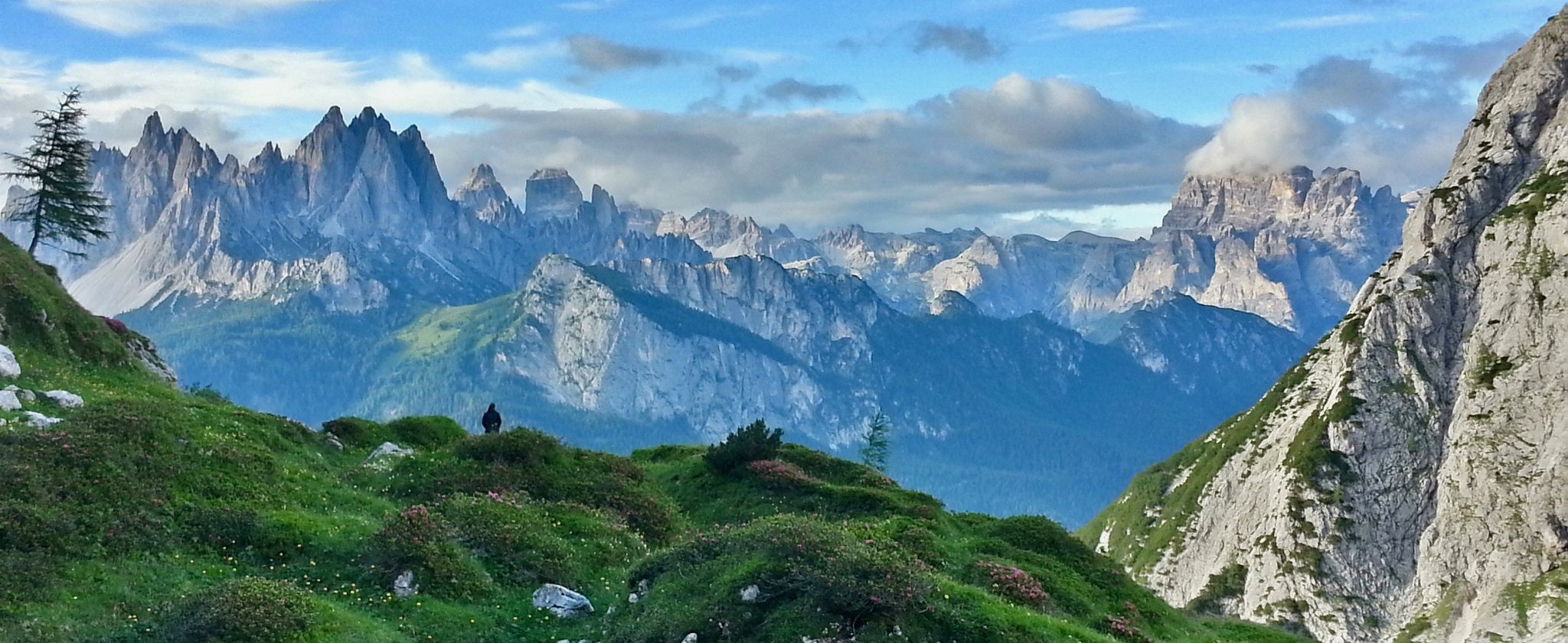
Alta Via No. 5 — Tizians High Route
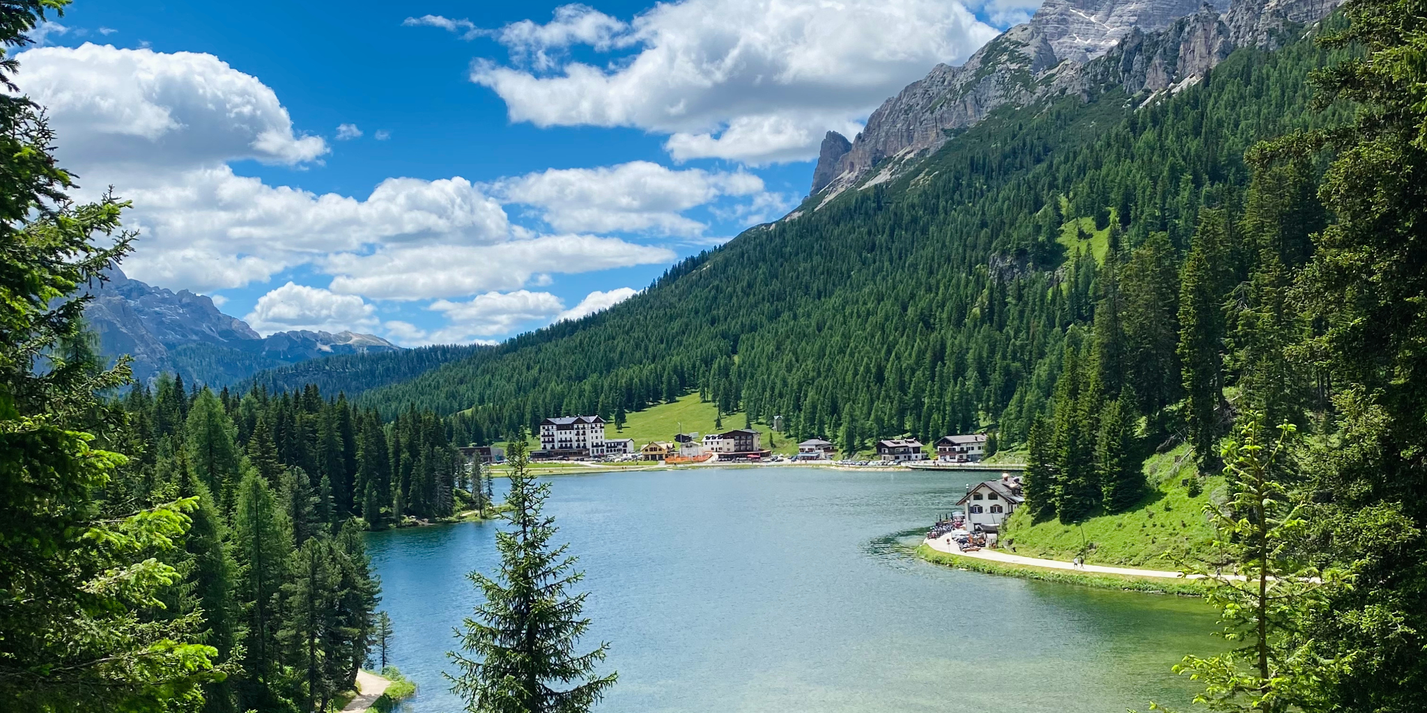
Cycling from sea to mountains – Venice to Cortina d'Ampezzo
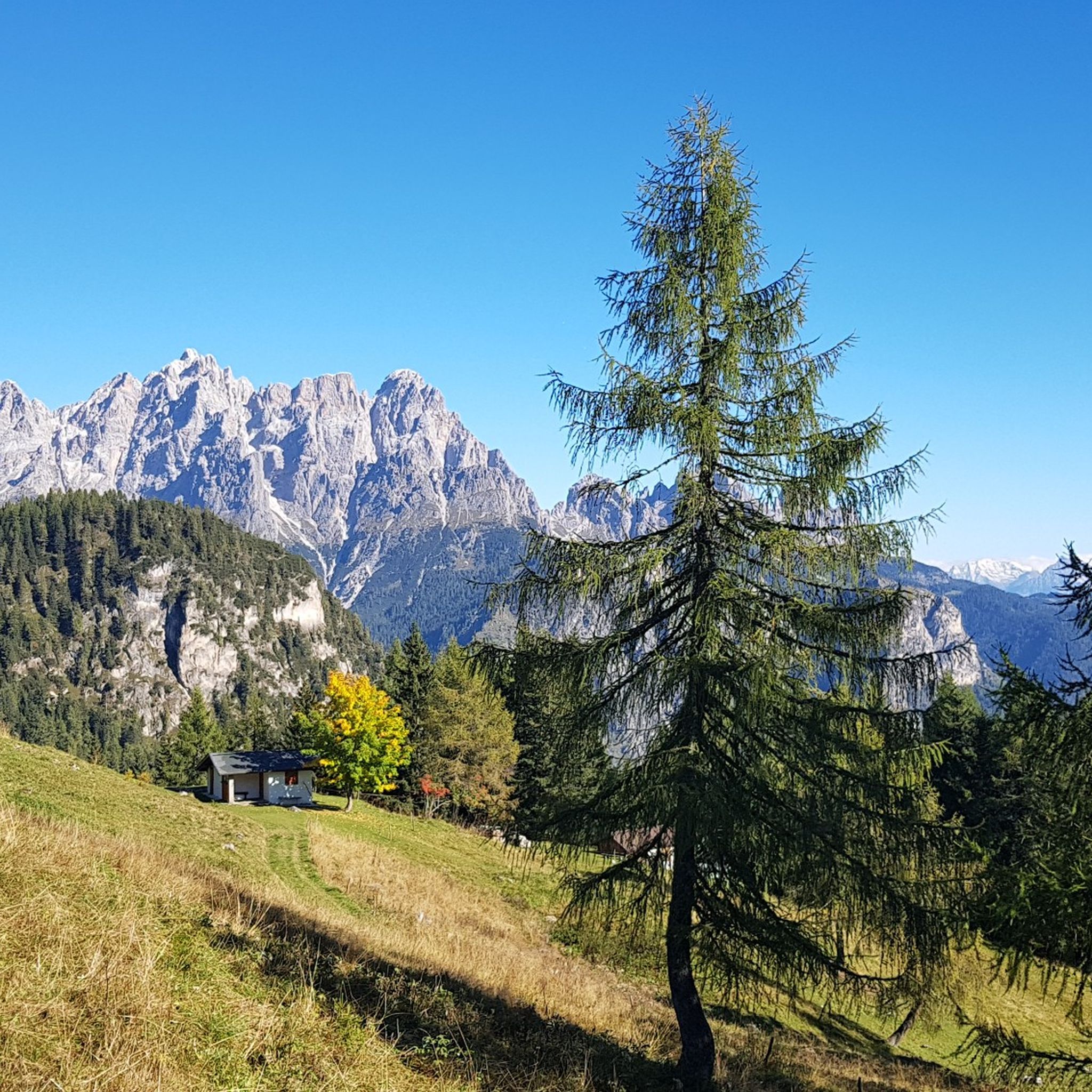
Hiking around Pieve Di Cadore
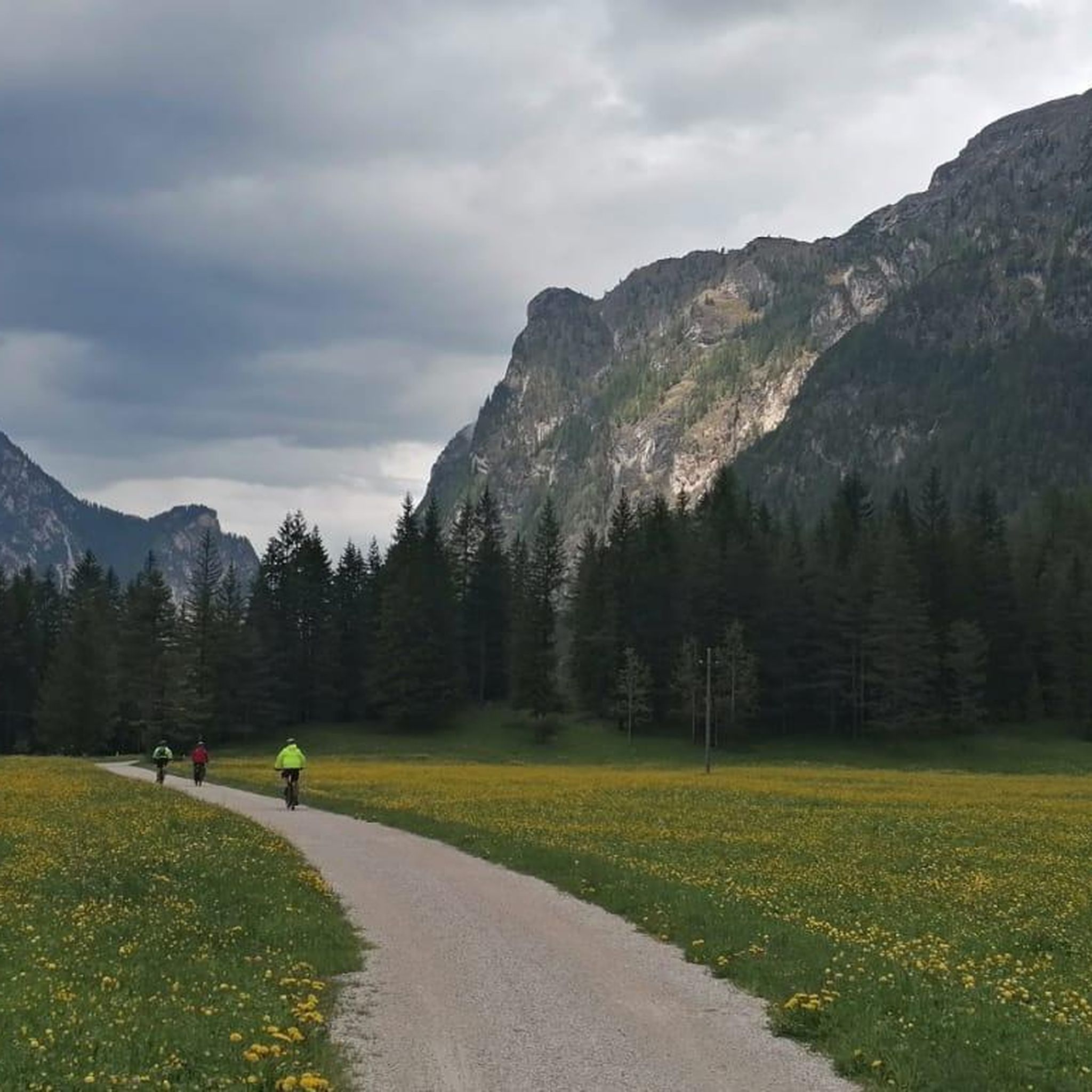
Road Cycling Routes around Pieve Di Cadore
MTB Trails around Pieve Di Cadore
Cycling around Pieve Di Cadore
Running Trails around Pieve Di Cadore

Gravel biking around Pieve Di Cadore
Other adventures around Pieve Di Cadore


Tips from the Community

Refuge easily reachable via asphalted / unpaved road from the Pian dei Buoi parking lot or, as in my case, from Monte Agudo during a large loop above Auronzo. Refuge keepers available and friendly, spectacular view and recommended cakes. For more information, the website (https://www.rifugiociareido.it/) and the IG page are active.
0
0


A beautiful refuge, you can truly feel the refuge atmosphere. Well-managed, excellent food. Thanks to the two managers, Marika and Ivan: extraordinary!
0
0


You have to be careful on the slope starting from the San Marco Refuge because due to the fact that there are landslides here every other day, the path is not always visible and the pebbles and gravel sometimes make the climb complex.
0
0
Really beautiful refuge reachable by descending from the small fork
0
0


Mount Antelao the King 3263 m
0
0
Frequently Asked Questions
How many mountaineering routes are available around Pieve di Cadore?
There are 19 mountaineering routes around Pieve di Cadore, offering a range of experiences from moderate to difficult. The area is known for its dramatic Dolomite massifs and high peaks, providing diverse terrain for ascents.
What makes mountaineering in Pieve di Cadore unique?
Pieve di Cadore is nestled in the heart of the Belluno Dolomites, offering stunning views of the Antelao, Marmarole, and Sorapiss mountain ranges. It's a crucial point for renowned Alpine Highways like the Alta Via No. 4 and Alta Via No. 5, providing extensive and challenging multi-day treks for experienced hikers.
Are there any circular mountaineering routes in the area?
Yes, several routes are circular. For example, the Campanile di Val Montanaia loop from Rifugio Pordenone is a moderate 5.3 km path leading through rugged terrain. Another option is the Monte Tranego – Rifugio Antelao loop from Pieve di Cadore, a more difficult 15.5 km trail through the Antelao massif.
What kind of natural attractions can I see along these routes?
The region boasts beautiful natural features. You can encounter stunning waterfalls like the Pile Waterfall or the Hidden Waterfall on the Tovanella Stream. Many routes offer views of the artificial Lake Centro Cadore, surrounded by high mountains and lush greenery.
Are there any historical landmarks or points of interest near the mountaineering trails?
Yes, a short, scenic walk can lead you to the Monte Ricco Fort, which offers breathtaking panoramic views over the valley and Lake Centro Cadore. This site holds historical significance, having served defensive purposes since pre-Roman times.
What is the best time of year for mountaineering in Pieve di Cadore?
The best time for mountaineering in Pieve di Cadore is typically from late spring to early autumn (May to October), when the weather is generally more stable and trails are free of snow. Some higher altitude routes and Alpine Highways are best tackled in the peak summer months.
Are there any easy or moderate mountaineering routes suitable for less experienced hikers?
While many routes are challenging, there are moderate options available. The Rifugio San Marco loop from San Vito di Cadore is a moderate 9.8 km route. The Campanile di Val Montanaia loop from Rifugio Pordenone is also rated moderate.
What do other mountaineers say about the routes in Pieve di Cadore?
The mountaineering routes in Pieve di Cadore are highly rated by the komoot community, with an average score of 4.7 stars from over 15 reviews. Users often praise the expansive views of the Antelao group and the rugged, distinctive terrain.
Are there mountain huts or refuges along the routes?
Yes, the region's extensive trail network includes essential mountain huts. For example, the Rifugio Pietro Galassi – Forcella d'Antelao loop from Dolomiti Cadorine passes by a refuge, providing opportunities for rest and refreshments. The Alfonso Vandelli Hut is another notable refuge in the wider area.
Can I find routes that offer views of Lake Sorapis?
While not directly on all mountaineering routes from Pieve di Cadore, the stunning Lake Sorapis is a prominent highlight in the broader Cadore Dolomites area and can be accessed via specific trails, offering breathtaking turquoise waters amidst the mountains.
Are there any specific regulations for dog-friendly hiking on these trails?
While many trails in the Dolomites are dog-friendly, it's always advisable to keep dogs on a leash, especially in protected areas, near livestock, or on busy paths. Specific regulations can vary, so checking local signage or tourist information for the exact route is recommended.
Is public transport available to reach trailheads around Pieve di Cadore?
Pieve di Cadore is a central hub in the region. While some trailheads might be accessible by local bus services, especially those connecting to larger towns, many mountaineering routes start from more remote locations. It's best to check local bus schedules for specific routes or consider carpooling for greater flexibility.
Most popular attractions around Pieve Di Cadore

Get inspired with the komoot mobile app


Explore more
Browse the best Mountain Hikes & Routes in other regions.
