The best mountain hikes around Canale D'Agordo
4.8
(89)
900
hikers
49
hikes
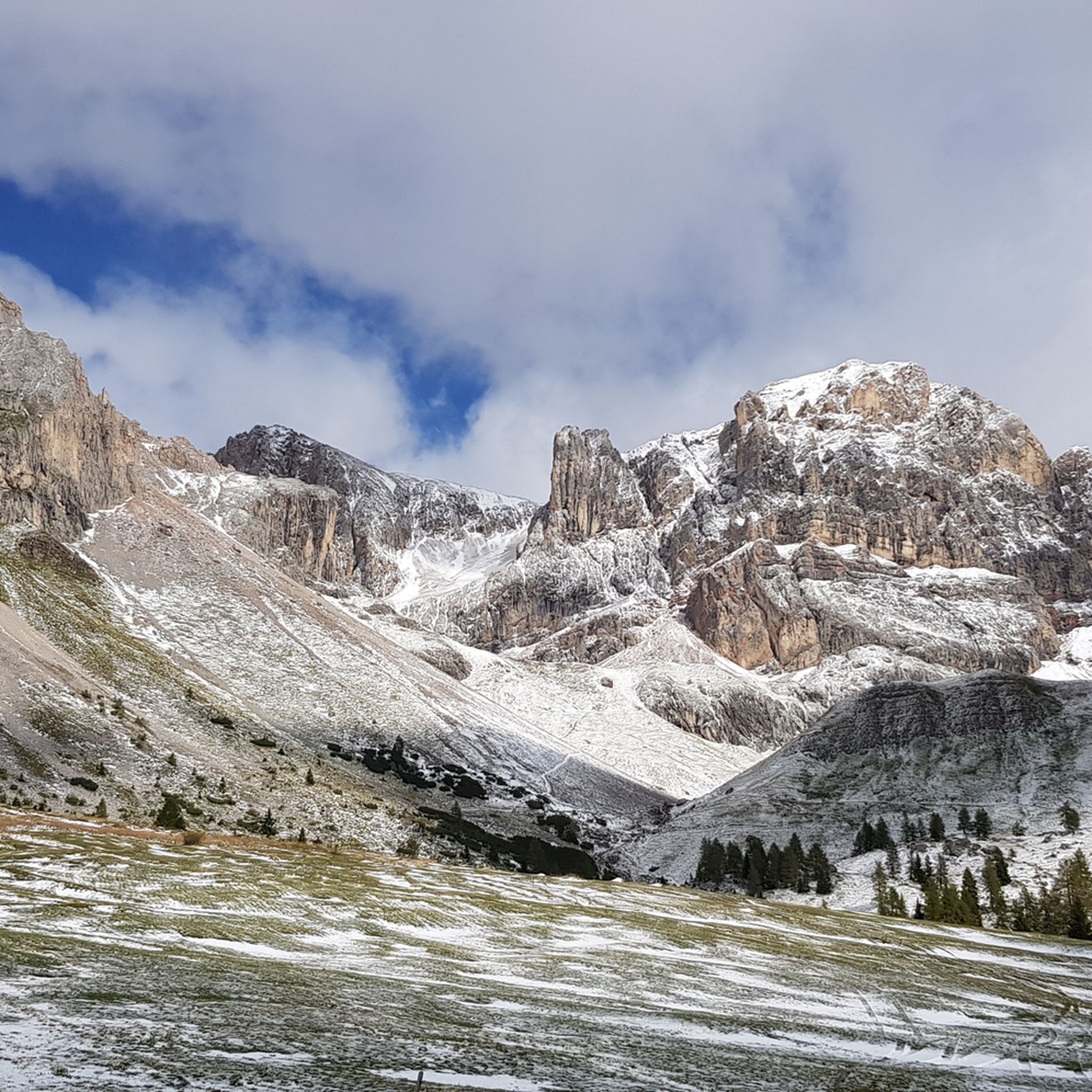
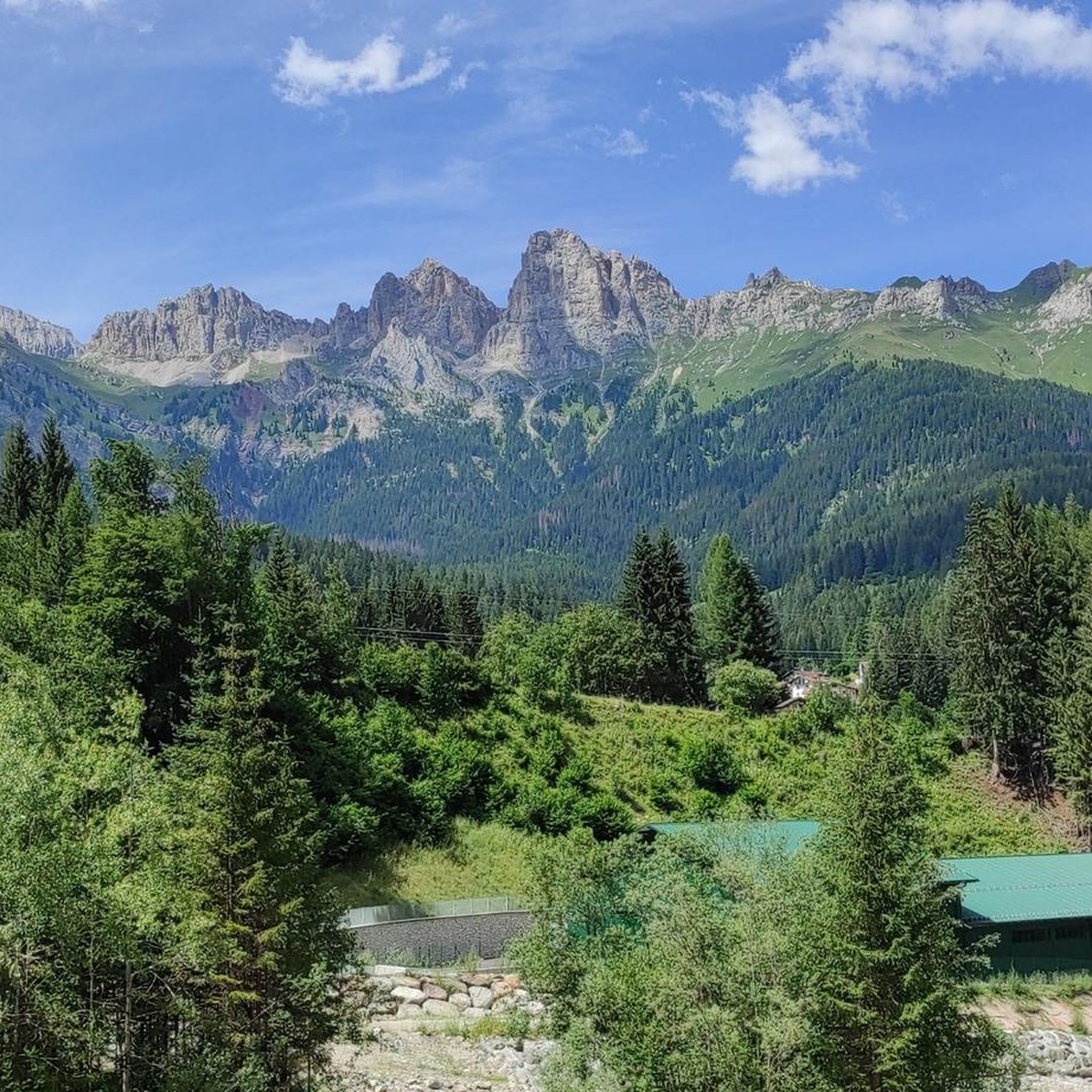
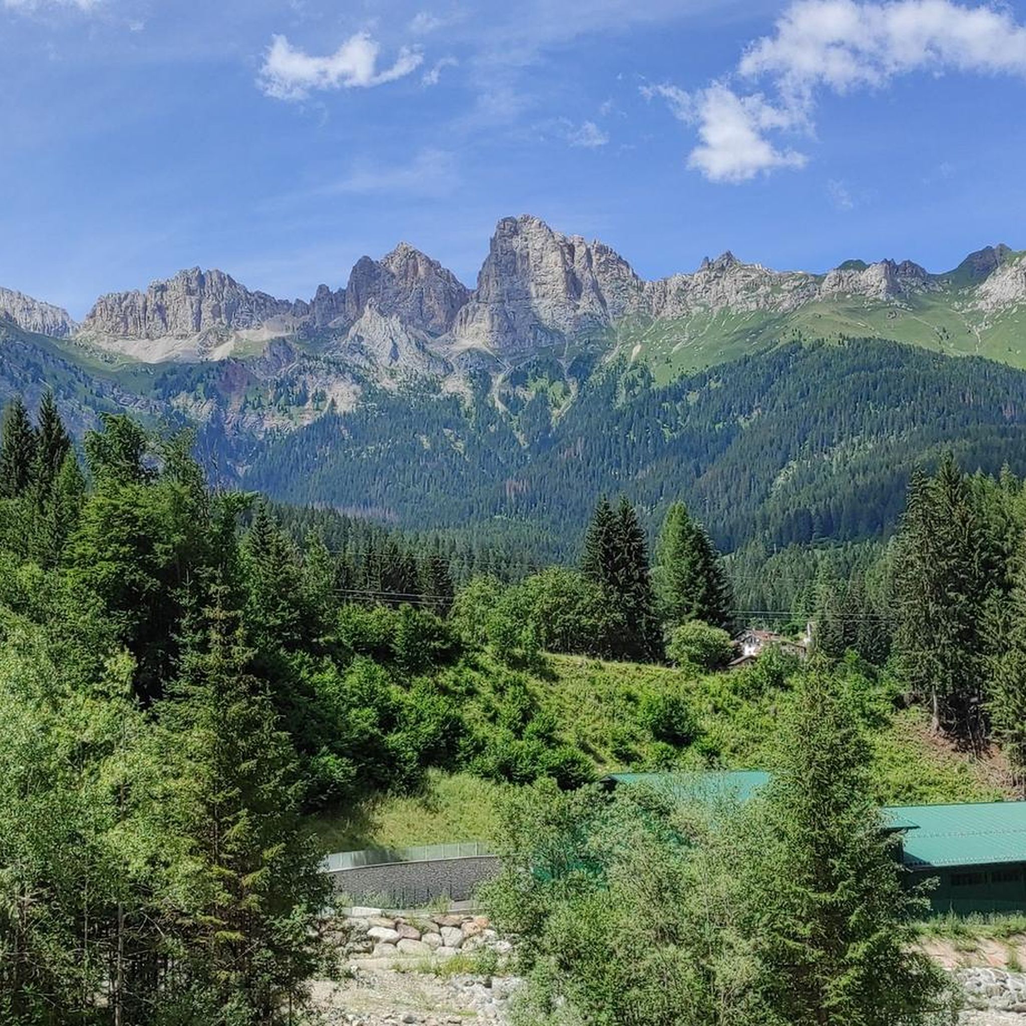
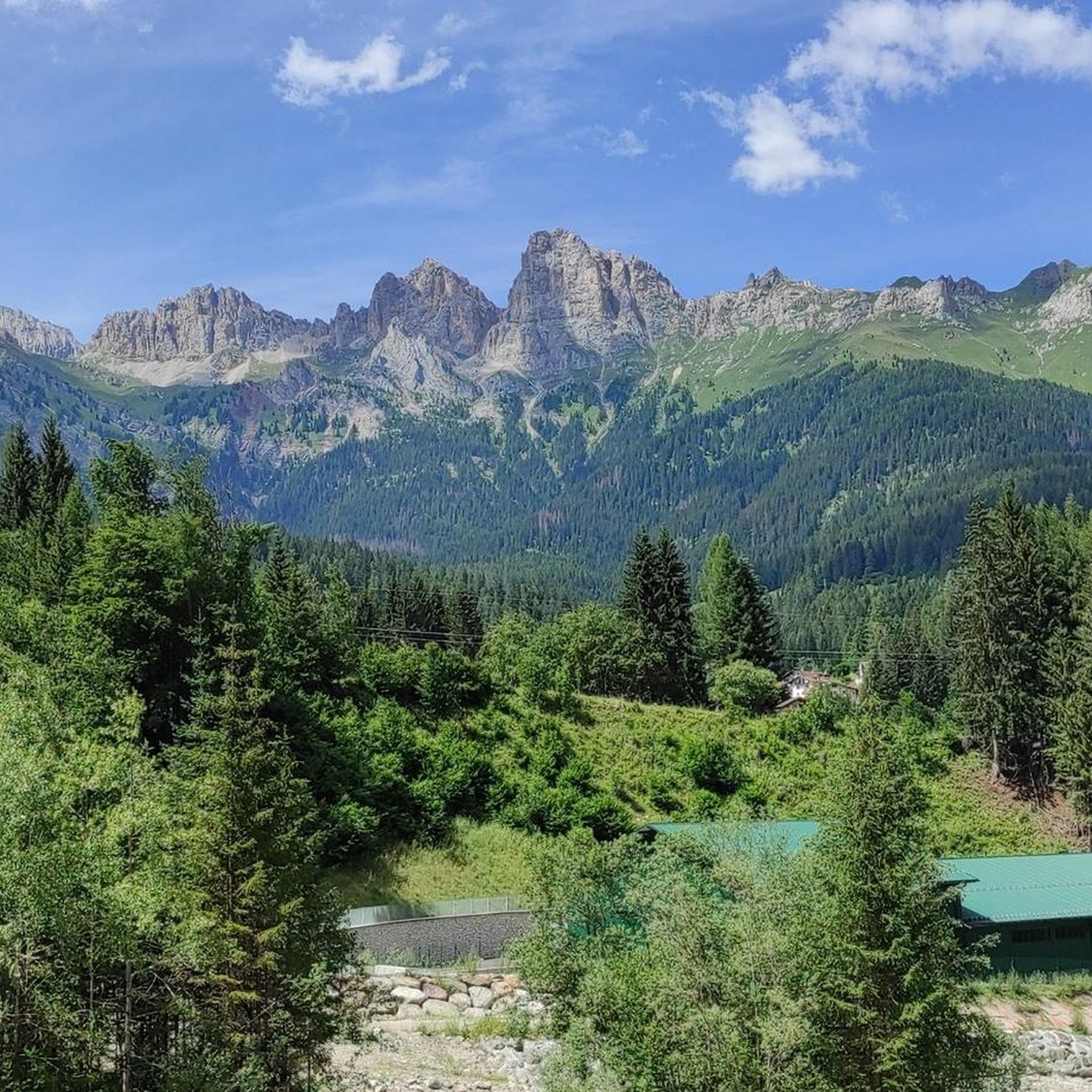
Mountaineering routes around Canale D'Agordo are situated within the Belluno Dolomites, a UNESCO World Natural Heritage Site, offering a dramatic alpine landscape. The region is characterized by majestic Dolomite massifs, including Civetta, Pelmo, Pale di San Martino, and Marmolada, providing a challenging environment for mountaineers. The Biois Valley and the picturesque Gares Valley feature impressive natural formations like the Comelle waterfall and the Orrido delle Comelle gorge, defining the area's rugged terrain.
Best mountaineering routes around Canale D'Agordo
- The most…
Last updated: July 4, 2026
5.0
(1)
18
hikers
13.2km
08:14
1,320m
1,320m
Hard mountaineering route. Very good fitness required. Sure-footedness, sturdy shoes and alpine experience required.
5.0
(2)
17
hikers
Hard mountaineering route. Good fitness required. Sure-footedness, sturdy shoes and alpine experience required.

Sign up for free
5.0
(1)
11
hikers
8.48km
06:36
1,220m
1,220m
Hard mountaineering route. Very good fitness required. Sure-footedness, sturdy shoes and alpine experience required.
16
hikers
Hard mountaineering route. Very good fitness required. Sure-footedness, sturdy shoes and alpine experience required.
4.0
(1)
9
hikers
10.8km
05:10
700m
700m
Hard mountaineering route. Very good fitness required. Sure-footedness, sturdy shoes and alpine experience required.
Get access to more routes and recommendations from other explorers.
Sign up for free
Already have an account?
Our route recommendations are based on thousands of hikes, rides, and runs completed by other people on komoot.
Start today with a free account
Your next adventure awaits.
Login or Signup

Tips from the Community

hello an information since the bivouac was replaced at the end of 2025 I was interested to know if the route in question is valid for the new Fiamme Gialle bivouac, thanks!
0
0

For the view...which is "grandiose"
0
0

I was a bit disappointed with the food at the Rifugio Pradidali: - small bowl of minestrone, €10 (4 spoonfuls) - potatoes and eggs, €14 (tiny plate, about 2 bites) - bread basket, €2.50 - large bottle of water, €5 Total €31.50 If a family of four has to spend almost €130 to eat at the refuge, the mountains are only for the rich. I'm all for "supporting" refuges, but with high prices and ridiculous portions, I understand those who bring their own sandwiches. And I don't expect to find gourmet dishes, much less trucker-sized portions at a trattoria. PS: It's in a stunning location, and the staff is very kind and friendly.
3
0

The Rifugio Velo della Madonna is located in the heart of the Pale di San Martino. It is a starting point for excursions and mountaineering routes, including the famous "Spigolo del Velo" route. The refuge offers hospitality with beds and a restaurant service, offering typical dishes of the local cuisine. It is open during the summer season, for more information: https://www.rifugiovelodellamadonna.it/
1
0

The summit of Vezzana, or more simply Vezzana, is the highest mountain of the Pale di San Martino (3,192 m above sea level) and is located on the border between the municipal territory of Canale d'Agordo and Primiero San Martino di Castrozza.
0
0

last stage on a towering height
0
0

Superb alpine excursion from the cant del gal to the legendary Pradidali refuge
1
0

Excellently maintained bivouac at 3005m, it is encountered with great pleasure during the Bolber-Lugli via ferrata. Excellently maintained bivouac at 3005m, it is encountered with great pleasure during the Bolber-Lugli via ferrata.
0
0
Frequently Asked Questions
How many mountaineering routes are available around Canale D'Agordo?
There are over 50 mountaineering routes around Canale D'Agordo, primarily catering to experienced mountaineers with 44 difficult routes and 9 moderate options.
Are there any beginner-friendly mountaineering routes in Canale D'Agordo?
The mountaineering routes around Canale D'Agordo are generally demanding. While there are 9 moderate routes, the majority (44) are classified as difficult, making the area more suitable for experienced mountaineers.
What are the best seasons for mountaineering in Canale D'Agordo?
The best season for mountaineering in the Dolomites, including Canale D'Agordo, is typically from late spring to early autumn (June to September) when trails are clear of snow and weather conditions are more stable. Winter mountaineering requires specialized equipment and experience due to snow and ice.
Are there any circular mountaineering routes in the area?
Yes, several routes offer circular options. For example, the Bivacco Fiamme Gialle – Cima della Vezzana loop from Passo Rolle is a challenging circular route ascending to Cima della Vezzana. Another is the Rifugio Rosetta Pedrotti – Passo Pradidali Basso (2658 m) loop from Pale di San Martino, offering high-alpine scenery.
What notable natural features or attractions can I see along the mountaineering routes?
The region is rich in natural beauty. You can encounter dramatic Dolomite massifs like Pale di San Martino, Monte Civetta, Pelmo, and Marmolada. The Valle di Gares features the scenic Comelle Waterfalls. You might also pass by significant mountain passes such as Passo Rolle or Passo Valles (2032 m), and even the beautiful Lake Fedaia.
Are there any via ferrata routes near Canale D'Agordo?
Yes, the region is known for its via ferratas. A challenging option is the Ferrata della Vecia – Velo della Madonna Hut loop from San Martino di Castrozza. The broader Dolomites also feature demanding routes like the Ferrata Bolver-Lugli and the Palaronda Ferrata 360 Tour.
What do other mountaineers say about the routes in Canale D'Agordo?
The mountaineering routes around Canale D'Agordo are highly rated by the komoot community, with an average score of 4.8 stars from over 100 reviews. Mountaineers often praise the iconic Dolomite massifs, the challenging nature of the routes, and the stunning high-alpine scenery.
Are there mountain huts or bivouacs available on the routes?
Yes, the area features essential mountain huts and bivouacs for multi-day treks and climbs. Notable facilities include the Bivacco Fiamme Gialle (at 3005m on Cima della Vezzana), Rifugio Rosetta Pedrotti, and Rifugio Pradidali. The Rifugio Pradidali loop from Pale di San Martino is one such route that incorporates a hut.
Is Canale D'Agordo suitable for family-friendly hiking, or is it mostly for experienced mountaineers?
While the mountaineering routes are predominantly for experienced individuals, the broader Biois Valley and Valle di Gares offer a range of hiking trails. Some paths are easily accessible and suitable for families, though specific family-friendly mountaineering routes are limited in this guide.
What are the highest peaks accessible from Canale D'Agordo?
Canale D'Agordo provides access to some of the highest peaks in the Dolomites. These include Cima della Vezzana (3,192 m), the highest in the Pale di San Martino, and Punta Penia (3,343 m) on the Marmolada, the highest peak in the entire Dolomites. Monte Civetta (3,220 m) is another impressive summit in the vicinity.
Where can I find more information about the Canale D'Agordo region?
For additional information about the village and its surroundings, you can visit the official tourism website for the Belluno Dolomites: visitdolomitibellunesi.com.
Most popular routes around Canale D'Agordo
Most popular attractions around Canale D'Agordo

Get inspired with the komoot mobile app


Explore more
Browse the best Mountain Hikes & Routes in other regions.
