The best road cycling routes around San Tomaso Agordino
4.6
(227)
12,660
riders
52
rides
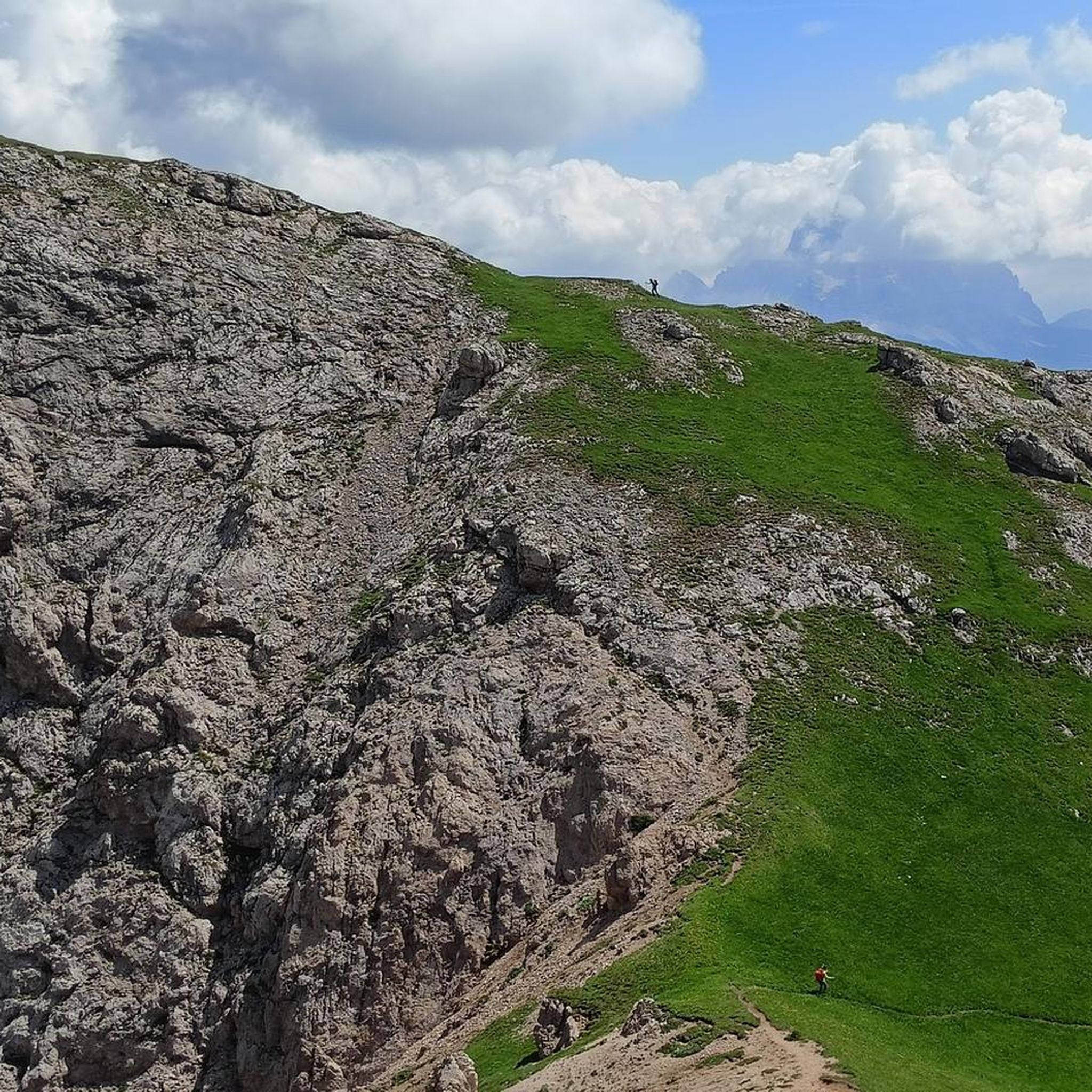
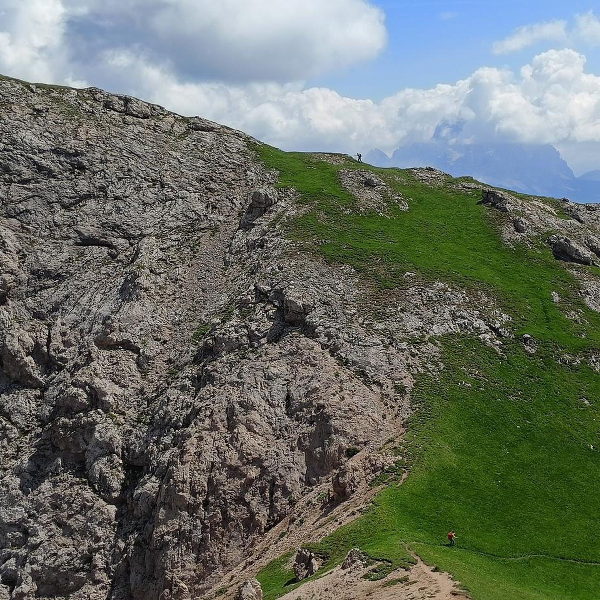
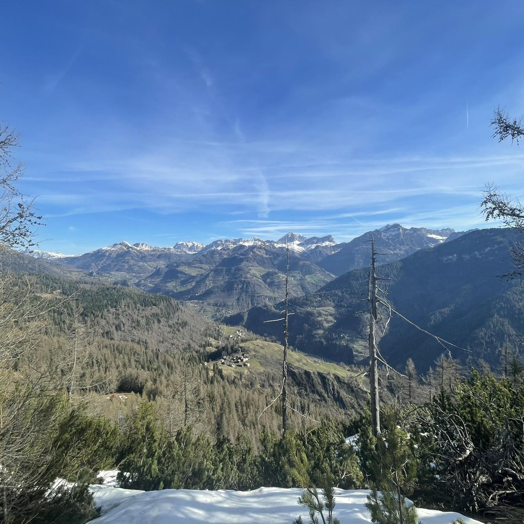
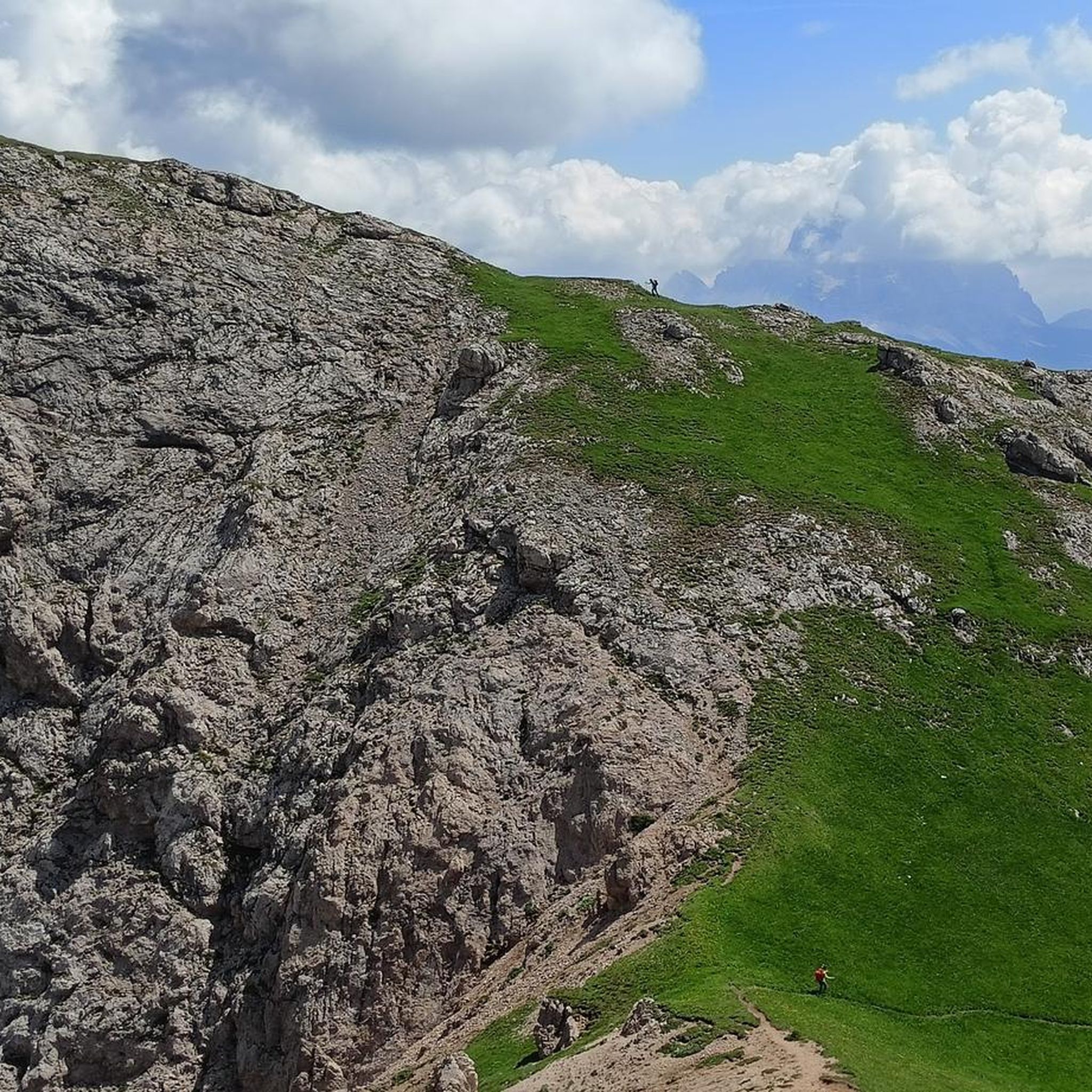
Road cycling around San Tomaso Agordino is characterized by its mountainous terrain within the Dolomites. The region features numerous high alpine passes and deep valleys, offering significant elevation changes. Road cyclists navigate routes through forested areas, alongside lakes, and across open mountain landscapes. The area provides a challenging environment for road cycling, with many routes ascending to notable passes.
Best road cycling routes around San Tomaso Agordino
- The most popular road cycling route is Passo Valles (2032 m) – Passo…
Last updated: July 6, 2026
4.6
(11)
603
riders
111km
07:07
3,170m
3,170m
Hard road ride. Very good fitness required. Mostly well-paved surfaces and easy to ride.
4.5
(13)
581
riders
116km
07:13
3,270m
3,270m
Hard road ride. Very good fitness required. Mostly well-paved surfaces and easy to ride.

Sign up for free
5.0
(2)
174
riders
124km
08:07
3,880m
3,880m
Hard road ride. Very good fitness required. Mostly well-paved surfaces and easy to ride.
5.0
(4)
169
riders
37.1km
02:08
850m
850m
Moderate road ride. Good fitness required. Mostly well-paved surfaces and easy to ride.
4.0
(3)
152
riders
40.0km
02:19
960m
960m
Hard road ride. Very good fitness required. Mostly well-paved surfaces and easy to ride.
Get access to more routes and recommendations from other explorers.
Sign up for free
Already have an account?
Our route recommendations are based on thousands of hikes, rides, and runs completed by other people on komoot.
Start today with a free account
Your next adventure awaits.
Login or Signup


Tips from the Community

In Poland we have a real one called Sokolica.
1
0

The Staulanza Pass (1,766 m above sea level) is a Dolomite mountain pass located between the slopes of Mount Crot (Civetta Group) and those of Pelmetto (Pelmo Massif). It belongs to the municipality of Val di Zoldo, near the borders with Selva di Cadore and Borca di Cadore. It is crossed by the SP 251 road, which connects the Val di Zoldo with the Val Fiorentina. The Staulanza refuge stands at the pass. The pass is a convenient starting point for hikes around Pelmo, Civetta, and Croda da Lago.
1
0

Beautiful climb, with a nice and steady incline of about 7%
0
0

This little kiosk on the lakeside is so cute with nice music and friendly, helpful staff.
0
0

A small, fine climb, good from Caprile to warm up your legs for the Giau.
1
0

Beautiful lake with a village. Good place for a coffee stop or lunch
0
0

It is always emotional to pass this galleria! Falzarego, awesome.
1
0

Any type of bike should definitely be used on bike days where the passes are closed or early in the morning, avoiding weekends. August should be avoided.
0
0
Frequently Asked Questions
How many road cycling routes are available around San Tomaso Agordino?
There are over 50 road cycling routes around San Tomaso Agordino, offering a wide range of options for different skill levels. The region is known for its challenging mountainous terrain and high alpine passes.
Are there any easy or beginner-friendly road cycling routes in San Tomaso Agordino?
While the region is characterized by challenging mountain passes, there are a few easier options. Approximately 5 of the routes are rated as easy, and 23 are moderate. For a moderate ride with scenic views, consider the Viewpoint of Colle Santa Lucia – Selva di Cadore loop from Alleghe, which covers about 25 km.
What are the typical distances and durations for road cycling routes in this area?
Routes in San Tomaso Agordino vary significantly in distance and duration due to the mountainous terrain. Many of the more challenging loops, such as the Passo Valles (2032 m) – Passo Rolle loop from Cencenighe Agordino, are around 110-115 km and can take 7 hours or more to complete. Shorter, moderate routes are also available.
When is the best season for road cycling around San Tomaso Agordino?
The best season for road cycling in San Tomaso Agordino is typically from late spring to early autumn (May to October). During these months, the weather is generally more stable, and the high mountain passes are clear of snow. Summer offers the warmest temperatures, but always be prepared for changing mountain weather.
Are there any circular road cycling routes available?
Yes, many of the road cycling routes around San Tomaso Agordino are designed as loops, allowing you to start and finish in the same location. Examples include the challenging Passo Giau – Staulanza Pass loop from Alleghe and the Staulanza Pass – Falzarego Pass loop from Cencenighe Agordino.
What kind of challenging climbs can I expect in San Tomaso Agordino?
San Tomaso Agordino is situated in the Dolomites, offering numerous challenging climbs over high alpine passes. Routes often feature sustained ascents with significant elevation gain, such as those found on the Passo Valles (2032 m) – Passo Rolle loop or the Passo Giau – Staulanza Pass loop, both involving over 3000 meters of elevation gain.
What can I see along the road cycling routes in terms of natural landmarks?
The routes offer stunning views of Dolomitic peaks and alpine landscapes. You might pass by natural landmarks such as Lake Coldai or catch glimpses of prominent summits like Monte Civetta and Punta Penia (Marmolada Summit).
Are there any places to stop for refreshments or viewpoints along the routes?
Yes, many routes traverse through or near small towns and villages where you can find cafes and restaurants. Additionally, mountain huts like the Adolfo Sonino Mountain Hut at Coldai or Fuciade Hut can offer refreshment stops, often with spectacular viewpoints of the surrounding Dolomites.
What do other road cyclists enjoy most about road cycling in San Tomaso Agordino?
The area is highly rated by the komoot community, with an average score of 4.7 stars from over 200 reviews. Reviewers often praise the challenging mountain passes, the breathtaking alpine scenery, and the well-maintained roads that make for an exceptional road cycling experience in the Dolomites.
Are there any specific attractions or points of interest near the road cycling routes?
Beyond the natural beauty, you can find various points of interest. Depending on your route, you might be near significant peaks like Col dei Baldi or Punta Rocca, offering additional exploration opportunities off the bike.
What should I wear for road cycling in the San Tomaso Agordino region?
Given the mountainous terrain and potential for rapid weather changes, it's advisable to wear layered clothing. Even in summer, temperatures can drop significantly at higher elevations. Always carry a lightweight windproof or waterproof jacket, gloves, and appropriate cycling attire for varying conditions.
Are there any routes that include lakes or valleys?
Yes, some routes incorporate beautiful lakes and deep valleys. For instance, the Lake del Mis – Mis Valley loop from Cencenighe Agordino offers a ride through a scenic valley and past a picturesque lake, providing a different kind of challenge compared to the high passes.
Most popular routes around San Tomaso Agordino
Most popular attractions around San Tomaso Agordino

Get inspired with the komoot mobile app


Explore more
Browse the best Road cycling routes in other regions.
