The best walks and hikes around Vallada Agordina
4.5
(3934)
25,393
hikers
354
hikes
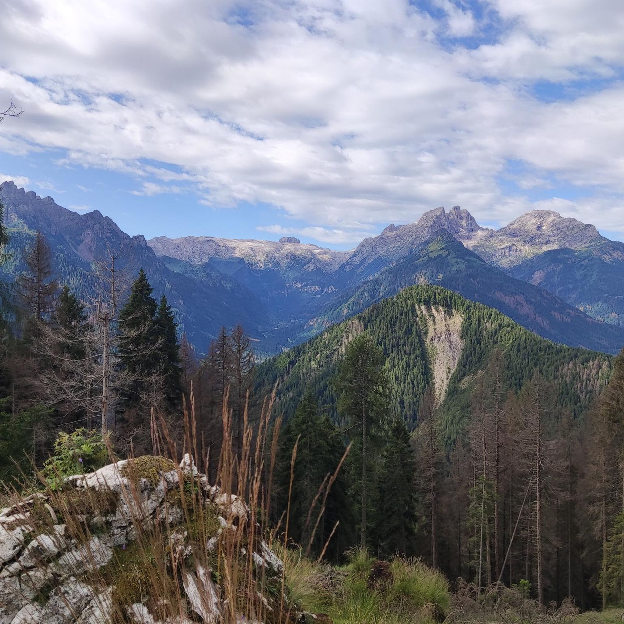
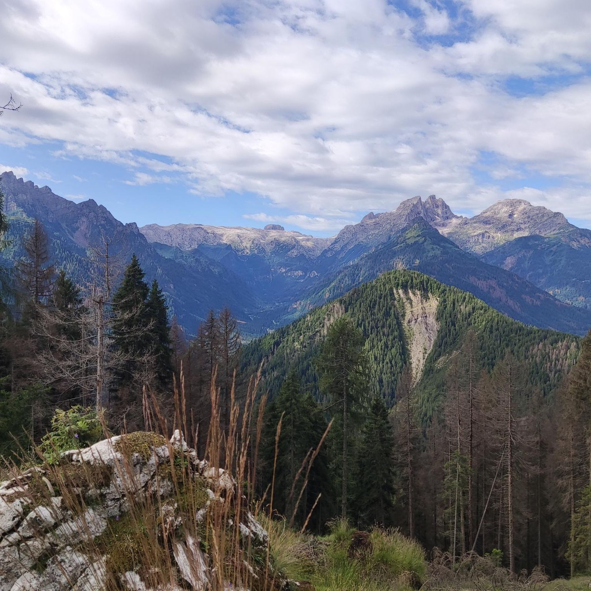
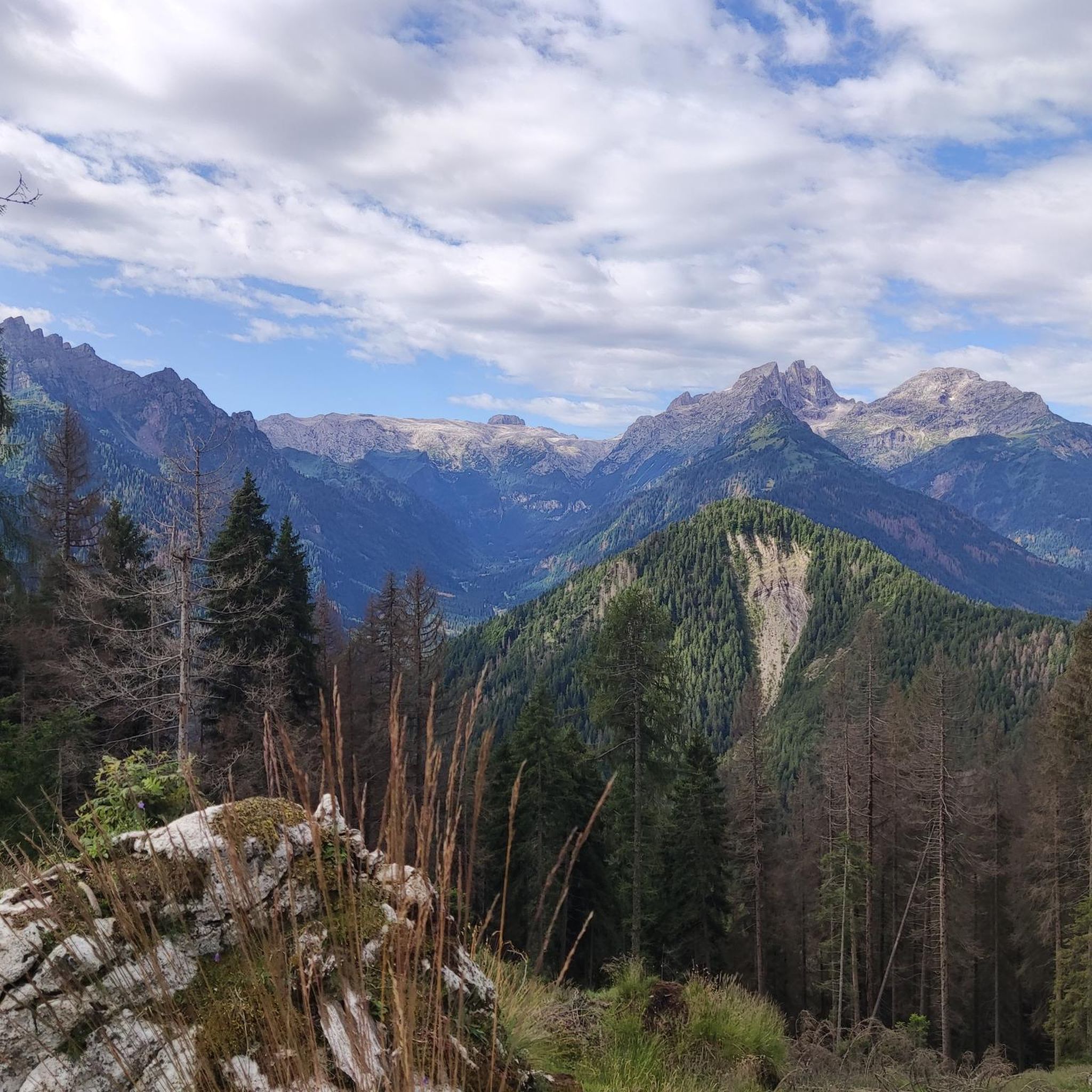
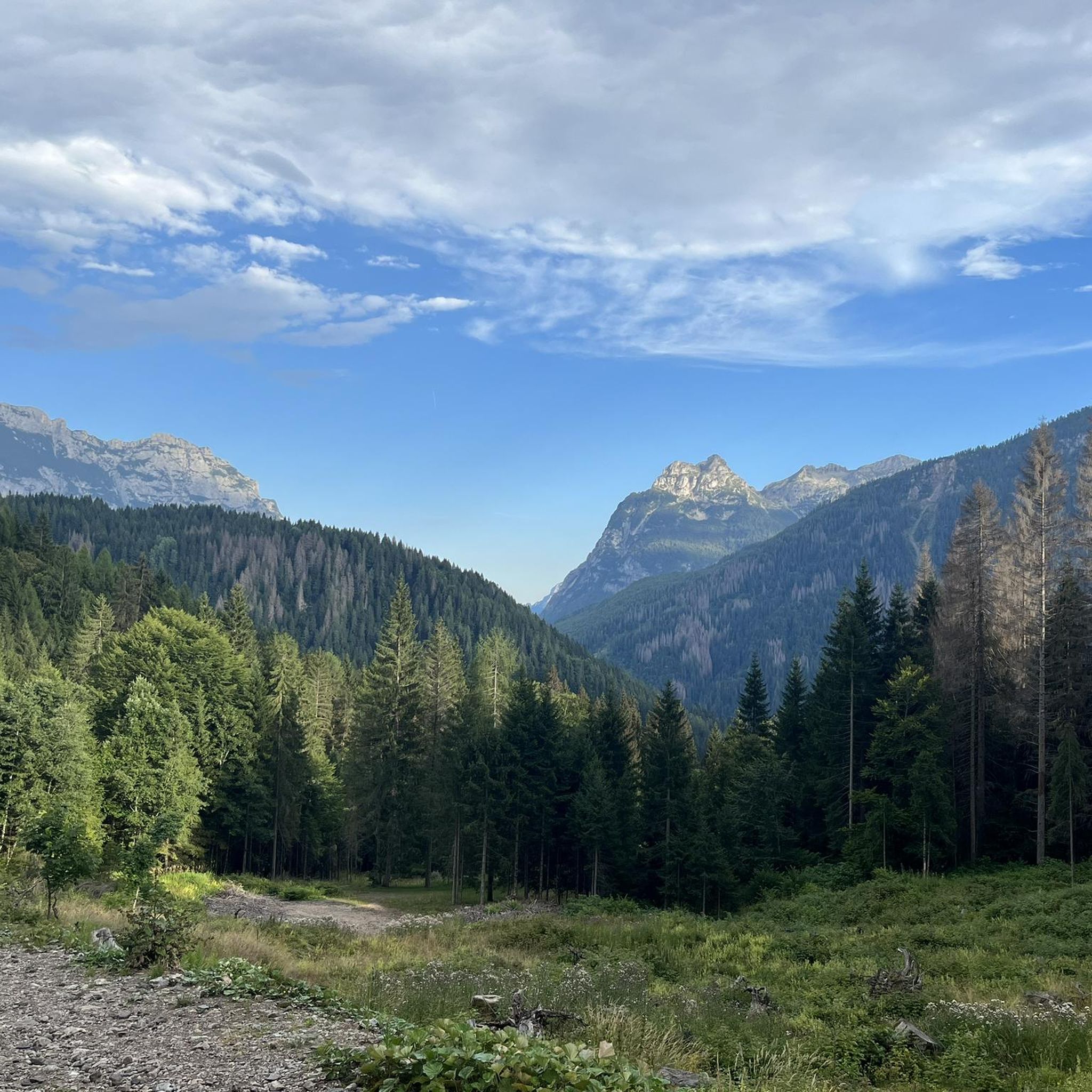
Hiking around Vallada Agordina provides access to the alpine environment of the Dolomites. The region is characterized by deep valleys, dense forests, and prominent rocky peaks. This landscape offers varied terrain for exploration, from riverside paths to high-altitude mountain trails.
Best hiking trails around Vallada Agordina
- The most popular hiking route is Margherita Bedin Bivouac Loop, a 10.3 miles (16.6 km) trail that takes 7 hours 4 minutes to complete. This challenging route offers extensive views of the surrounding…
Last updated: July 9, 2026
4.4
(24)
217
hikers
16.6km
07:04
1,460m
1,460m
Hard hike. Very good fitness required. Mostly accessible paths. Sure-footedness required.
4.0
(1)
2
hikers
15.8km
07:34
1,200m
1,200m
Hard hike. Very good fitness required. Sure-footedness, sturdy shoes and alpine experience required.

Sign up for free
9.23km
04:52
1,120m
1,120m
Hard hike. Very good fitness required. Mostly accessible paths. Sure-footedness required.
4.8
(20)
136
hikers
11.2km
05:46
1,030m
1,020m
Hard hike. Very good fitness required. Mostly accessible paths. Sure-footedness required.
4.3
(15)
102
hikers
7.94km
02:14
170m
170m
Moderate hike. Good fitness required. Easily-accessible paths. Suitable for all skill levels.
Get access to more routes and recommendations from other explorers.
Sign up for free
Already have an account?
Our route recommendations are based on thousands of hikes, rides, and runs completed by other people on komoot.
Start today with a free account
Your next adventure awaits.
Login or Signup

Tips from the Community

Nice, medium-demanding tour. Approximately 800 m of altitude difference on easy paths.
0
0

The peace that you breathe in this little lake inspired the legend of the Eivane https://www.agordinodolomiti.it/it_IT/agordino/cultura-tradizioni-agordine/leggende-agordine/le-eivane-del-lech-dei-giai-leggende-agordine
0
0

Used as a winter bivouac this year, very beautiful and panoramic place to see. For those who want to use it at night in winter, I would like to point out that it is very difficult to heat and poorly insulated, the stove has several cracks and tends to make a lot of smoke. Definitely recommended for summer, water available as soon as you leave the bivouac.
1
0

Beautiful point just before arriving at the Bedin Bivacco. According to some maps there should be a mule track that takes an alternative route but this seems not to be true.
1
0
Beautiful, taking a snack break here is priceless
0
0
Passage point to reach the famous Bedin bivouac.
0
0

The end point of the route and it's worth it
1
1
Frequently Asked Questions
How many hiking trails are available in Vallada Agordina?
Vallada Agordina offers a wide network of hiking trails, with over 340 routes recorded on komoot. This includes a diverse range of paths suitable for various skill levels, from gentle walks to challenging mountain ascents.
Are there easy hiking trails suitable for beginners in Vallada Agordina?
Yes, Vallada Agordina has approximately 57 easy hiking trails perfect for beginners or those seeking a relaxed outing. These routes typically feature less elevation gain and well-maintained paths, allowing you to enjoy the alpine scenery without excessive effort.
What are some family-friendly hiking options in Vallada Agordina?
For families, consider trails that are shorter and have less elevation. While specific family-designated routes aren't listed, many of the 57 easy trails would be suitable. Look for paths along valley floors or through forests that offer gentle gradients and opportunities for breaks.
Can I find circular hiking routes in Vallada Agordina?
Yes, many routes in Vallada Agordina are designed as circular walks, allowing you to start and end at the same point. An example of a challenging circular route is the Marmolada Group – Bivacco Col Mont loop from Vallada Agordina, offering extensive views.
Are there challenging hikes for experienced trekkers in Vallada Agordina?
Absolutely. Vallada Agordina is part of the Dolomites, offering numerous challenging routes. There are 115 difficult trails in the area. For a demanding experience, consider the Alta Via dei Pastori (CAI Trail 684), which traverses varied mountain terrain with significant elevation changes.
What kind of views can I expect on hikes in Vallada Agordina?
Hikes in Vallada Agordina offer breathtaking alpine vistas. You can expect panoramic views of the Dolomites' rocky peaks, deep valleys, and dense forests. Many trails lead to viewpoints overlooking iconic summits like Monte Civetta Summit or Punta Penia (Marmolada Summit), and serene spots like Lake Coldai.
Are there any notable landmarks or attractions to see while hiking in Vallada Agordina?
Yes, the region is rich in natural and historical points of interest. Along your hikes, you might encounter mountain huts like Adolfo Sonino Mountain Hut at Coldai or Fuciade Hut, offering rest and refreshments. Some trails, like the CAI Trail 758, even pass by historical sites such as old sawmill ruins.
What is the best time of year to go hiking in Vallada Agordina?
The best time for hiking in Vallada Agordina is typically from late spring (May/June) through early autumn (September/October). During these months, the weather is generally stable, trails are clear of snow at lower to mid-altitudes, and the alpine flora is vibrant. Summer offers warmer temperatures, while autumn brings stunning fall foliage.
Is winter hiking possible in Vallada Agordina?
Winter hiking in Vallada Agordina is possible, but it requires appropriate gear and experience. Many trails will be covered in snow, making snowshoeing or ski touring popular. Lower altitude paths might be accessible, but always check local conditions, avalanche warnings, and trail closures before heading out.
Are dogs allowed on the hiking trails in Vallada Agordina?
Generally, dogs are welcome on hiking trails in the Dolomites, including Vallada Agordina, provided they are kept on a leash, especially in protected areas or near livestock. Always carry waste bags and ensure your dog is well-behaved around other hikers and wildlife. Some mountain huts may have restrictions, so it's best to check in advance if planning a stop.
Where can I find parking for hiking trails in Vallada Agordina?
Parking for hiking trails in Vallada Agordina is typically available at trailheads, near villages, or at designated parking areas for popular attractions. It's advisable to arrive early during peak season to secure a spot. Always look for official parking signs and respect local regulations.
What do other hikers say about the trails in Vallada Agordina?
The trails in Vallada Agordina are highly regarded by the komoot community, boasting an average rating of 4.5 stars from over 3,800 reviews. Hikers frequently praise the diverse terrain, the stunning alpine scenery, and the well-maintained paths that offer experiences for all ability levels.
Most popular routes around Vallada Agordina
Most popular attractions around Vallada Agordina

Get inspired with the komoot mobile app


Explore more
Browse the best Hikes in other regions.
