The best MTB trails around Strohn
4.4
(1259)
3,944
riders
293
rides
Mountain biking around Strohn offers a diverse landscape shaped by its volcanic origins in the Eifel region. The terrain features ancient volcanic formations, including the prominent Lavabombe, alongside distinctive maars and moorlands. This geological history creates a varied topography with undulating paths, lava fields, and forested sections, providing a range of challenges for mountain bikers. The region's natural features, such as the Strohner Määrchen and several maars, contribute to a dynamic environment for off-road cycling.
Best mountain bike trails around…
Last updated: October 3, 2026
4.5
(36)
134
riders
44.0km
03:58
860m
860m
Moderate mountain bike ride. Good fitness required. Suitable for all skill levels.
4.3
(16)
62
riders
37.4km
03:06
600m
600m
Moderate mountain bike ride. Good fitness required. Suitable for all skill levels.

4.6
(26)
56
riders
46.6km
03:47
680m
680m
Hard mountain bike ride. Good fitness required. Advanced riding skills necessary. Some portions of the route may require you to push your bike.
4.9
(14)
31
riders
32.8km
02:37
460m
460m
Moderate mountain bike ride. Good fitness required. Advanced riding skills necessary.
4.1
(7)
24
riders
27.4km
02:16
420m
420m
Hard mountain bike ride. Good fitness required. Advanced riding skills necessary. Some portions of the route may require you to push your bike.
Get access to more routes and recommendations from other explorers.
Already have an account?
Our route recommendations are based on thousands of hikes, rides, and runs completed by other people on komoot.
Start today with a free account
Your next adventure awaits.
Popular around Strohn

Excellent paths in the Vulkaneifel – Explore the HeimatSpuren
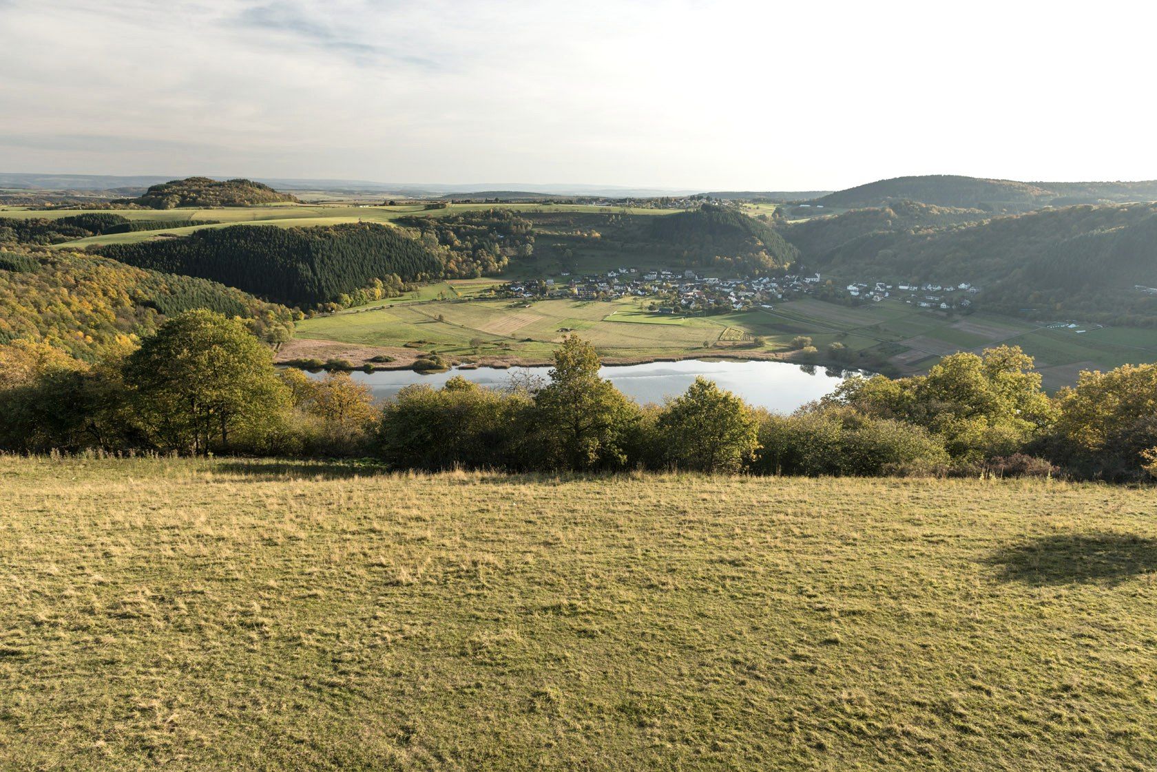
Crater lakes and lava rock – hiking in Germany’s Volcanic Eifel
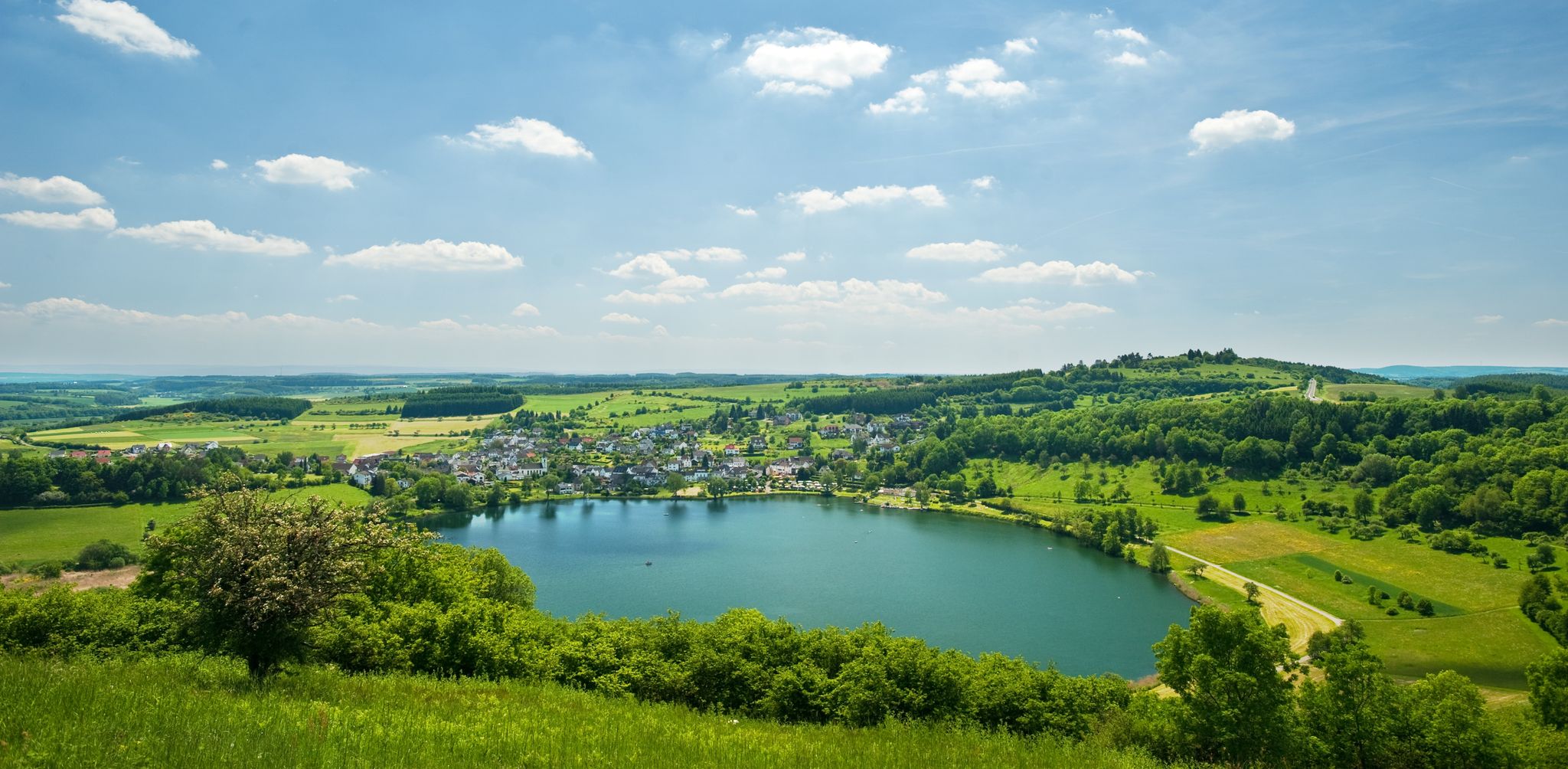
Lava pits & fairytale lakes – hiking through Vulkaneifel in Germany
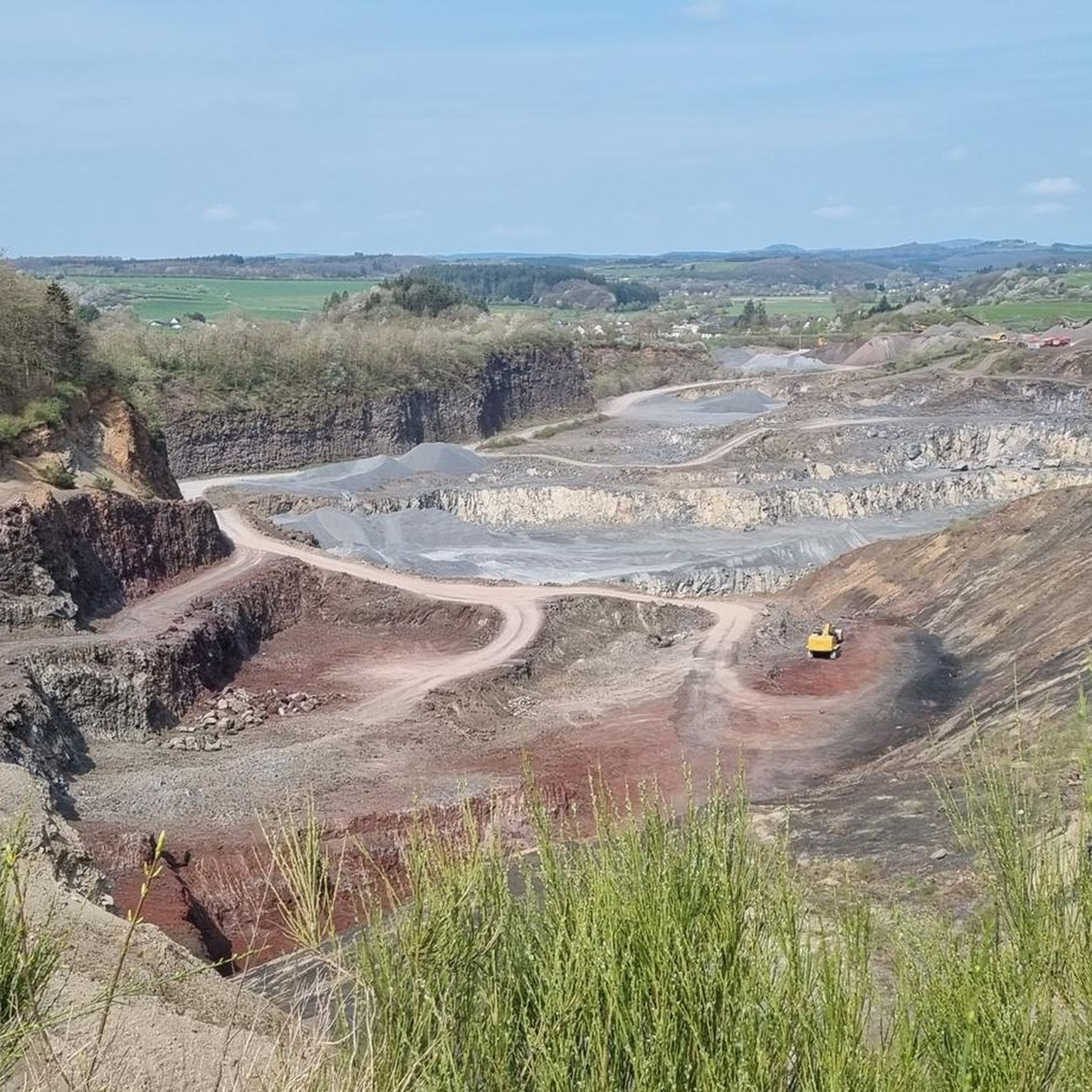
Hiking around Strohn
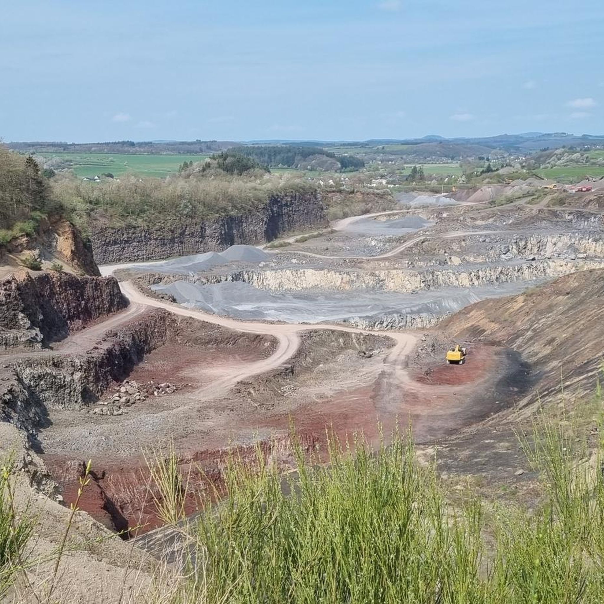
Road Cycling Routes around Strohn
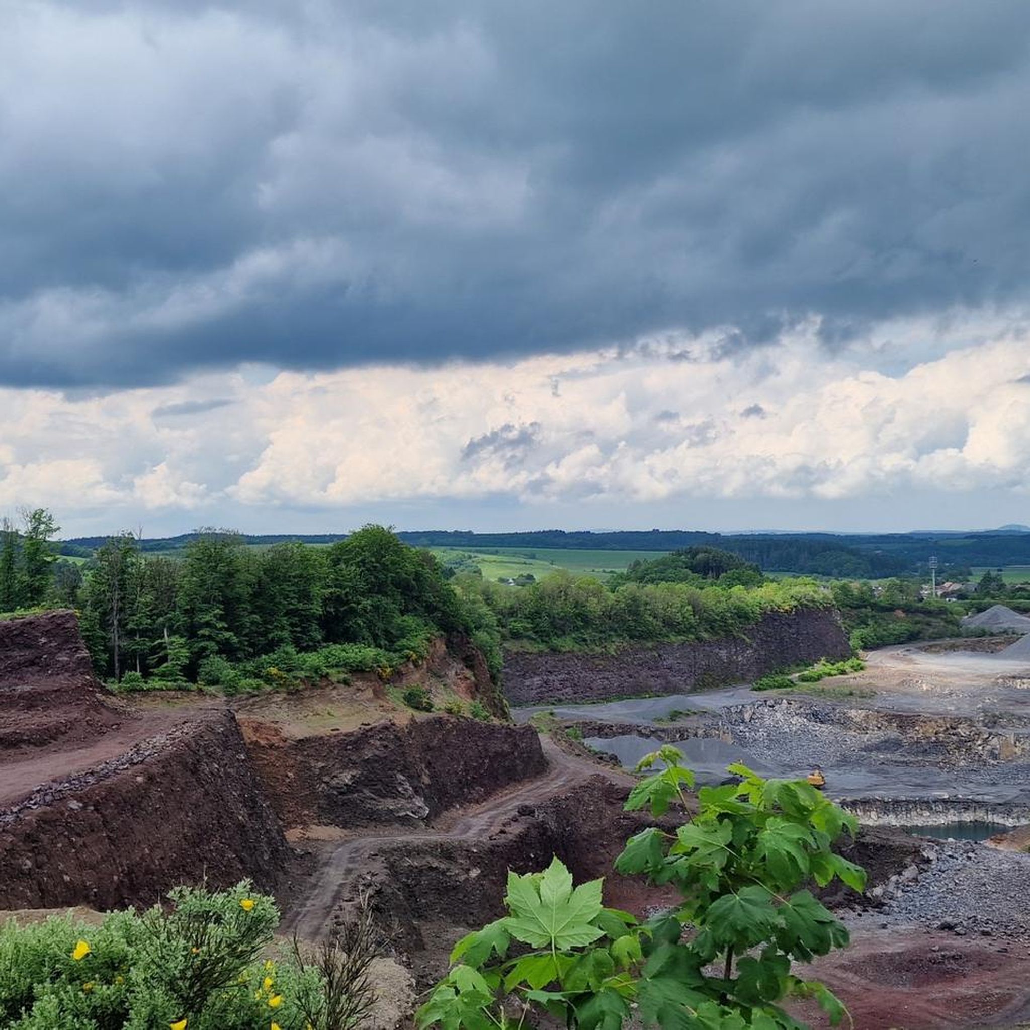
Running Trails around Strohn
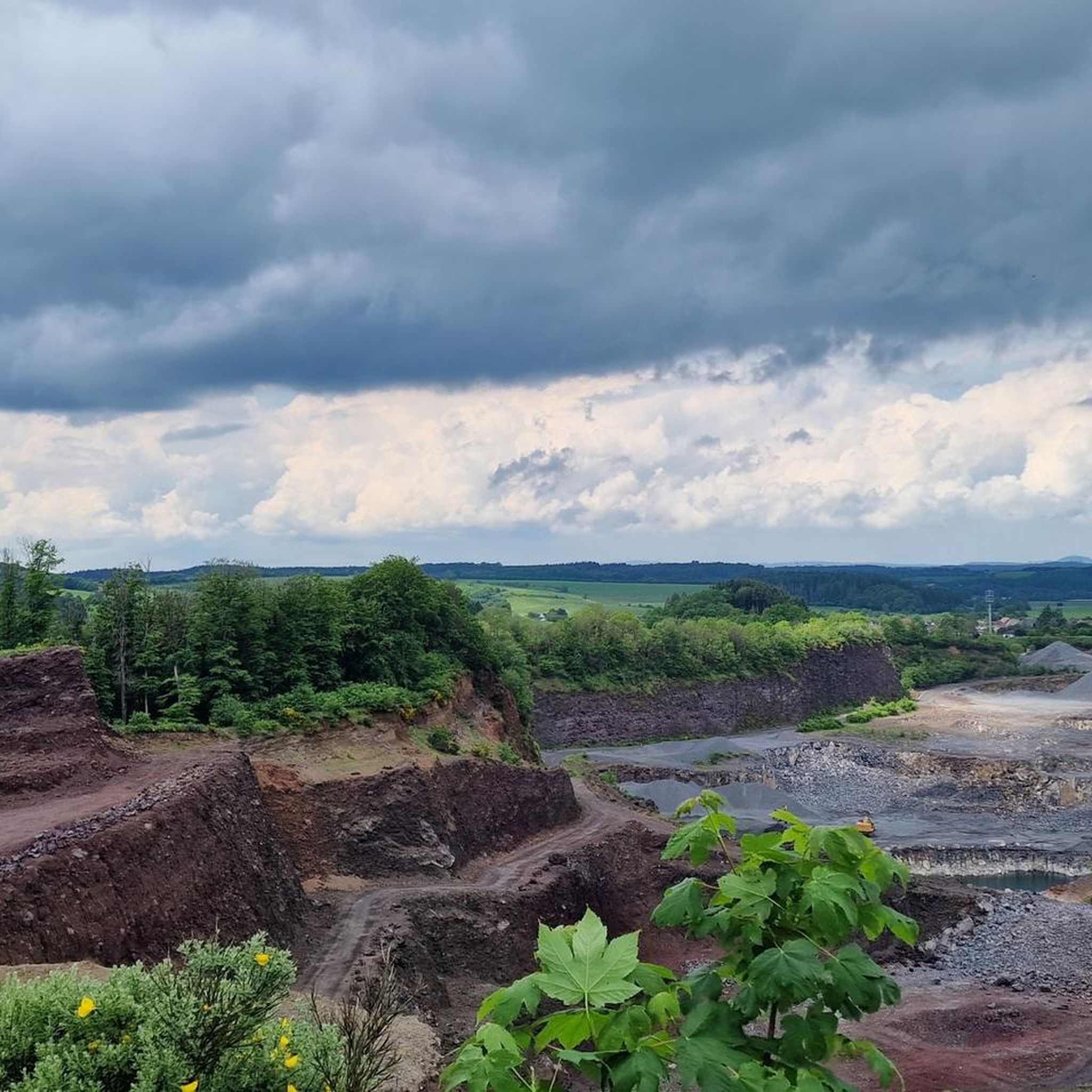
Cycling around Strohn
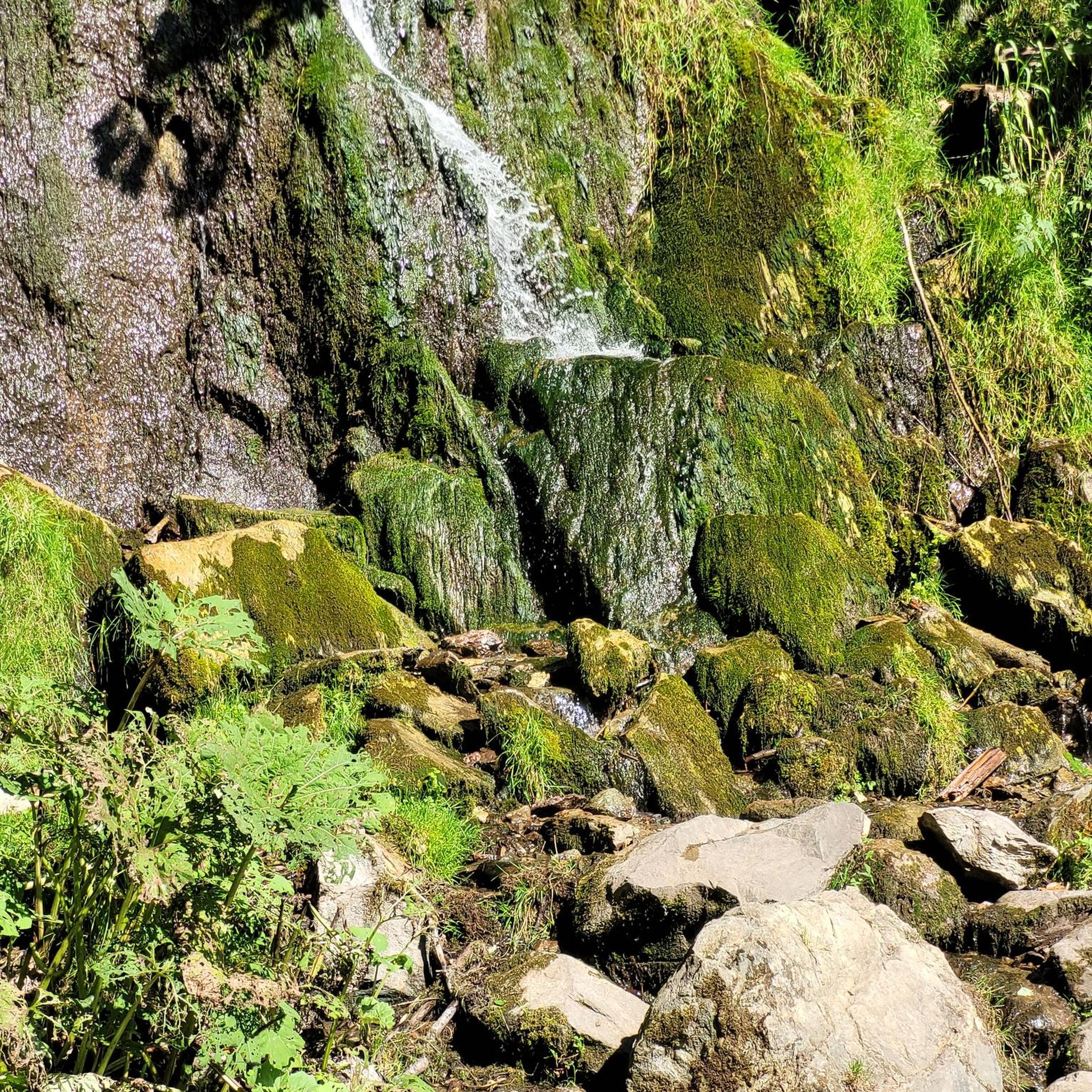
Gravel biking around Strohn
Mountain Hikes around Strohn
Other adventures around Strohn


Tips from the Community

Perfect spot, the beautiful rushing of the Lieser, best in the morning in the fog - it directly makes you want to climb ;) Typical Eifel 🌄🤝📯
0
0
Perfect view, best in the morning fog - it really makes you want to climb ;) Typical Eifel 🌄🤝📯
0
0

swimming and boating with your own inflatable boat
0
0

Beautiful trail with a nice viewpoint. Easy to ride. In autumn, when it's wet, you might have to be a little careful as the trail is a bit rocky in places. But it will still be easily doable.
0
0

Here you can hike relaxed. Wonderful section of the path.
0
0

Very interesting and educational.
1
0

Lake with a bathing spot and beautiful views of Schalkmehren.
0
0
Frequently Asked Questions
How many mountain bike trails are available around Strohn?
There are over 300 mountain bike trails around Strohn, catering to various skill levels. You'll find approximately 34 easy routes, 168 moderate routes, and 103 difficult routes to explore the volcanic Eifel landscape.
What kind of terrain can I expect on mountain bike trails in Strohn?
The terrain around Strohn is shaped by its volcanic origins, offering a diverse and engaging experience. You can expect undulating paths, lava fields, and forested sections. The region features ancient volcanic formations, distinctive maars (volcanic lakes), and moorlands, providing varied elevations and challenging sections for off-road cycling.
Are there any family-friendly mountain bike trails in Strohn?
While many trails in Strohn are moderate to difficult, there are around 34 easy routes that could be suitable for families. These routes typically feature less elevation gain and smoother paths, allowing for a more relaxed ride through the scenic volcanic landscape.
What are some notable natural landmarks or viewpoints I can see along the trails?
The volcanic landscape of Strohn offers several impressive natural landmarks and viewpoints. You can encounter the massive Lavabombe, explore the unique Strohner Määrchen, or ride past various maars. Specific viewpoints include the Dronke Tower on the Mäuseberg, views of the Gemünden Maar, and panoramic spots overlooking the Schalkenmehrener Maar and Weinfelder Maar.
Are there any circular mountain bike routes available?
Yes, many of the mountain bike trails around Strohn are designed as circular routes, allowing you to start and end at the same point. An example is the Strohner Lava Bomb – Strohner Switzerland loop from Gillenfeld, which covers 32.8 km.
What is the best time of year to go mountain biking in Strohn?
The Eifel region, including Strohn, is generally enjoyable for mountain biking from spring through autumn. During these seasons, the weather is typically milder, and the trails are in good condition. While winter riding is possible, be prepared for colder temperatures and potentially muddy or icy conditions, especially in shaded forest sections.
What do other mountain bikers enjoy most about the trails in Strohn?
The mountain bike trails around Strohn are highly rated by the komoot community, with an average score of 4.5 stars from over 1200 reviews. Riders frequently praise the diverse volcanic landscape, the varied forest paths, and the scenic beauty of the maars. The region's unique geological features provide a distinctive and engaging riding experience.
Are there any historical or cultural attractions near the mountain bike routes?
Beyond the natural wonders, you can also explore historical sites. For instance, you might encounter the Manderscheid Upper Castle or the Manderscheid Lower Castle, both offering a glimpse into the region's past. Additionally, the Vulkanhaus Strohn provides insights into the area's volcanic history.
How long do mountain bike trails typically take to complete in Strohn?
The duration of trails varies significantly based on distance and difficulty. For example, a moderate route like the Kennfuss-Maisch Spring – Pulvermaar loop from Gillenfeld (44.0 km) typically takes around 4 hours. Shorter, easier routes will take less time, while longer, more difficult trails can extend to 5 hours or more.
What is the elevation gain like on mountain bike trails around Strohn?
Due to the volcanic topography, trails around Strohn often feature significant elevation changes. For instance, the Holzmaar – Gemündener Maar loop from Strotzbüsch, a 46.5 km difficult route, involves an ascent of over 670 meters. Even moderate routes can include several hundred meters of climbing, offering a good workout.
Can I find trails that offer views of the volcanic maars?
Absolutely. Many trails are specifically routed to provide stunning views of the region's distinctive maars. The View of Schalkenmehrener Maar – View of the maar loop from Gillenfeld is a prime example, offering expansive vistas of these volcanic lakes and the surrounding Eifel landscape.
Most popular routes around Strohn
Most popular attractions around Strohn

Get inspired with the komoot mobile app


Explore more
Browse the best MTB trails in other regions.
