The best walks and hikes around Gosaldo
4.5
(713)
3,333
hikers
21
hikes
Hiking around Gosaldo, nestled within the Belluno Dolomites National Park, offers access to a diverse mountain landscape. The region is characterized by imposing massifs such as Croda Granda, Sasso d'Ortiga, Mount Agner, and Piz di Sagron, providing varied terrain for hikers. It encompasses the northern part of the Valle del Mis, featuring the picturesque Lake del Mis and the deeply carved Val Falcina. This area, part of the Dolomites UNESCO World Natural Heritage Site, presents a mix of challenging climbs and accessible trails.
Best hiking trails around Gosaldo
- The most popular hiking route is Climb to Forcella del Marmor — Ring tour, a 10.8 miles (17 km) trail that takes 9 hours 16 minutes to complete. This difficult route offers significant elevation gain through mountainous terrain.
- Another top favourite among local hikers is Malga Cavallera Mountain Hut – Giovanni Menegazzi Bivouac loop from Sagron Mis, a moderate 5.6 miles (9 km) path. This trail leads through varied landscapes, often including forest sections and views of the surrounding peaks.
- Local hikers also love the Col di Luna Summit – Giovanni Menegazzi Bivouac loop from Forcella Aurine, a 8.1 miles (13 km) trail leading through mountain passes and towards summits, often completed in about 4 hours 34 minutes.
- Hiking around Gosaldo is defined by imposing massifs, deep valleys like Val Falcina, and the presence of mountain huts. The network offers options for different ability levels, from moderate loops to difficult summit ascents.
- The routes in Gosaldo are highly rated by the komoot community with an average score of 4.6 stars from over 500 reviews. More than 2000 hikers have used komoot to explore Gosaldo's varied terrain.
Last updated: September 28, 2026
4
hikers
17.4km
09:16
1,980m
1,980m
Hard hike. Very good fitness required. Sure-footedness, sturdy shoes and alpine experience required.
4.6
(47)
275
hikers
Moderate hike. Good fitness required. Easily-accessible paths. Suitable for all skill levels.

4.7
(23)
102
hikers
13.0km
04:34
580m
580m
Moderate hike. Good fitness required. Mostly accessible paths. Sure-footedness required.
4.7
(14)
112
hikers
Moderate hike. Good fitness required. Easily-accessible paths. Suitable for all skill levels.
4.7
(7)
68
hikers
4.44km
01:51
380m
380m
Moderate hike. Good fitness required. Easily-accessible paths. Suitable for all skill levels.
Get access to more routes and recommendations from other explorers.
Already have an account?
Our route recommendations are based on thousands of hikes, rides, and runs completed by other people on komoot.
Start today with a free account
Your next adventure awaits.
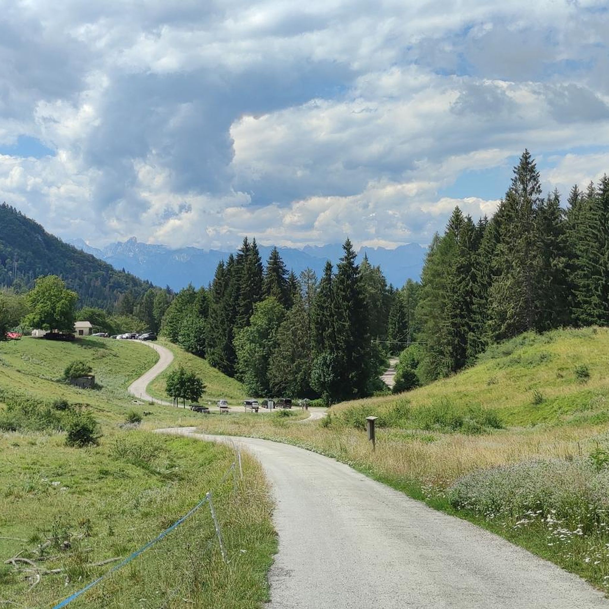
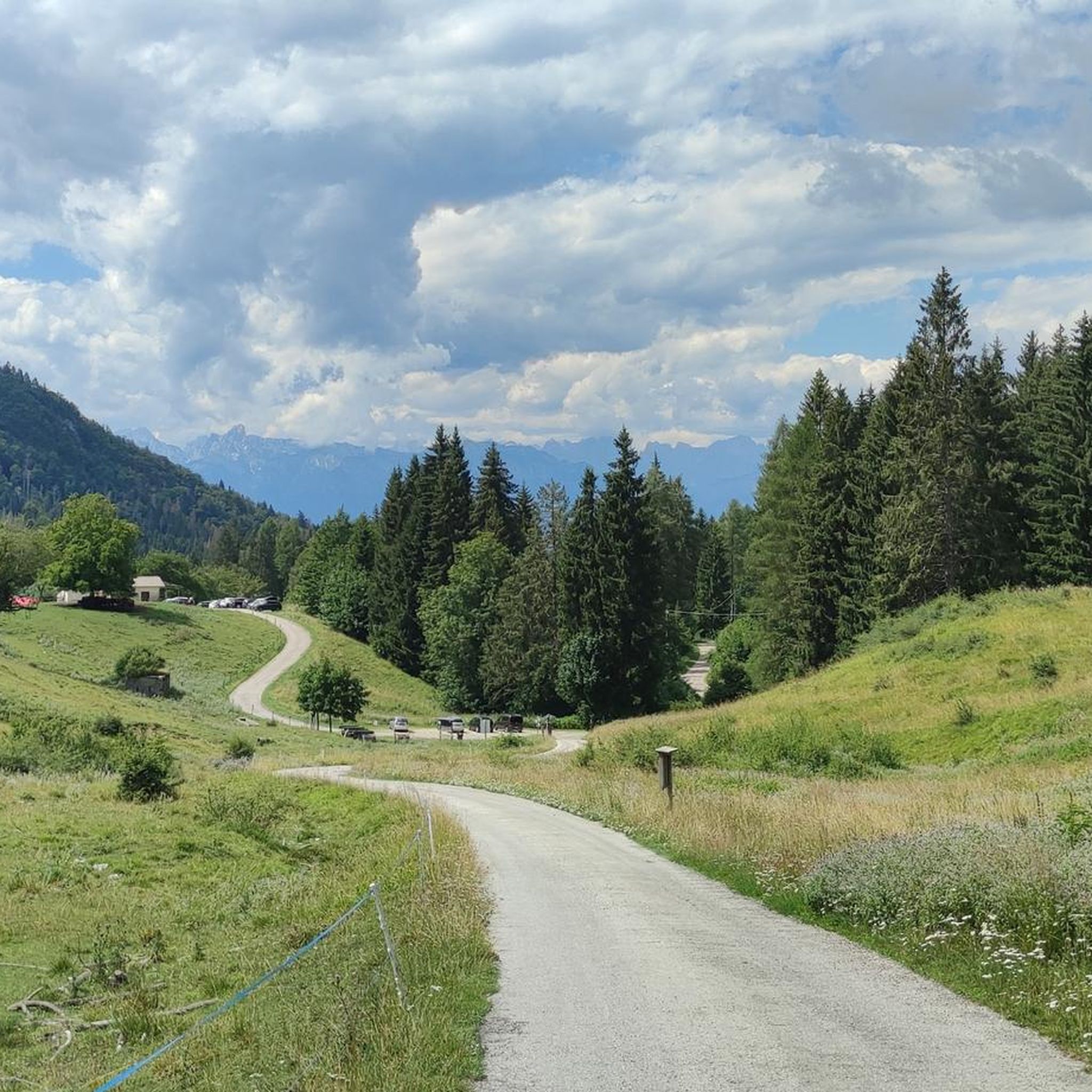
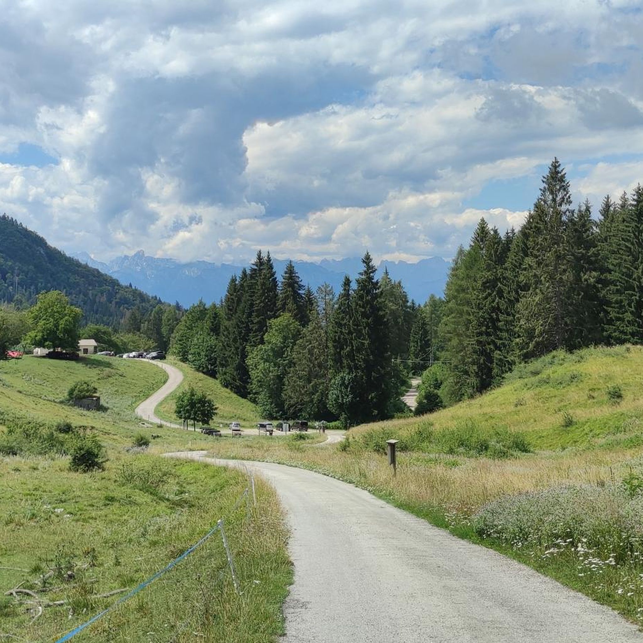
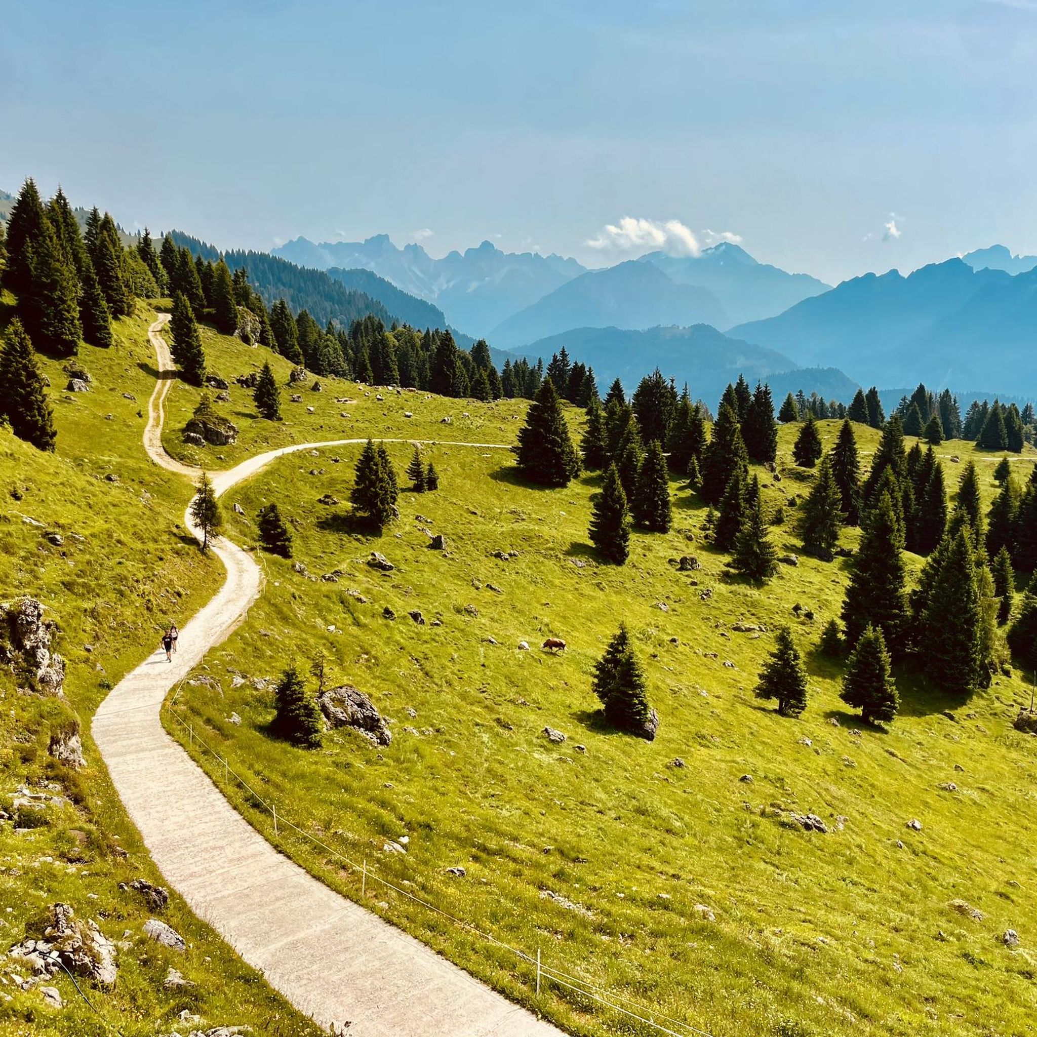

Tips from the Community

Beautiful stone bivouac, with a good view.
0
0
Beautiful trail that develops almost always in the woods if you arrive from Forcella Aurine or Rifugio Scarpa, the climb is tough but very scenic and not exposed, except if you decide to go to the Croce di Luna.
1
0


Loop back to Don Gosaldo from Sant'Andrea, nice path (at a point paved but steep)
0
0

Malga Cavallera (1,680 m) is an alpine refuge located on the south-east side of the last bastions of the Pale di San Martino, on the edge of the Dolomiti Bellunesi National Park. The mountain hut, owned by the municipality, has been recently renovated while preserving its traditional architecture. It has 2 rooms with 6/9 beds each and welcomes guests with a warm and authentic atmosphere. In the summer, the restaurant service offers traditional dishes prepared with products that are, when possible, organic and preferably from short supply chains. The view from here is truly enchanting: in front, the gaze extends over the Monti del Sole, the Cimonega group and the Vette Feltrine, while behind rise the Dolomite peaks of Croda Granda, Sass d'Ortiga and Cima Oltro. www.rifugiocavallera.it/it_it/
1
0
The Bivacco G. Menegazzi is a small brick structure managed by the ANA group of Gosaldo; it has an economical stove and a wooden mezzanine with 8 beds. It is located at 1,737 m above sea level, in the Pian Lònch pasture, about ten minutes from the Rifugio Malga Cavallera. The view from here is truly enchanting: in front the gaze sweeps over the Monti del Sole, the Cimonega group and the Vette Feltrine, while behind rise the Dolomite peaks of Croda Granda, Sass d’Ortiga and Cima Oltro. Inaugurated in August 1980, it was created by recovering the old Casera Pianlonch. It is named after Giovanni Menegazzi, an Alpine soldier from Sant'Andrea di Gosaldo who fell on Monte Golico in March 1941 and was awarded the silver medal for military valor.
1
0

Reachable from Fressenè (BL) along the path that leads to the Scarpa Gurekian Refuge. On clear days there is a fantastic view.
0
0
Beautiful panorama reachable from Frassenè (BL) also with snowshoes.
0
0
Frequently Asked Questions
How many hiking trails are available in Gosaldo?
Gosaldo offers a diverse selection of over 25 hiking routes, catering to various skill levels. You'll find everything from moderate loops to more challenging mountain ascents within the Belluno Dolomites National Park.
What types of hiking trails can I find in Gosaldo?
The trails in Gosaldo range from easy walks to difficult mountaineering routes. There are 18 moderate trails suitable for most hikers, 6 difficult routes for experienced adventurers, and 1 easy trail for a more relaxed experience. The landscape includes imposing massifs, deep valleys like Val Falcina, and picturesque areas around Lake del Mis.
Are there any circular hiking routes in Gosaldo?
Yes, Gosaldo features several circular routes. For example, the Col di Luna Summit – Giovanni Menegazzi Bivouac loop from Forcella Aurine is a popular 8.1-mile (13 km) trail that takes you through mountain passes and towards summits. Another option is the Malga Cavallera Mountain Hut – Giovanni Menegazzi Bivouac loop from Sagron Mis, a moderate 5.6-mile (9 km) path through varied landscapes.
What are some notable natural attractions or landmarks to see while hiking in Gosaldo?
Gosaldo is rich in natural beauty and historical sites. You can explore the picturesque Welsperg Lake, or discover mountain passes like Forcella Aurine Pass and Cereda Pass. The region also features the former mining center of Valle Imperina and the Vallalta Mining Center, offering a glimpse into the area's industrial past.
Are there any family-friendly hiking options in Gosaldo?
While many trails in Gosaldo involve significant elevation, there are options suitable for families. Look for trails described as 'easy' or 'moderate' with shorter distances. The area around Lake del Mis offers more accessible paths, and the cultural trails exploring the mining history can be engaging for older children.
Can I bring my dog on the hiking trails in Gosaldo?
Many trails in the Belluno Dolomites National Park, including those around Gosaldo, are generally dog-friendly. However, it's always recommended to keep your dog on a leash, especially in protected areas, near livestock, or on busy paths. Be sure to check specific trail regulations before you go.
Are there mountain huts or places to rest along the trails?
Yes, the Gosaldo area, being part of the Dolomites, has mountain huts (rifugi) that offer refuge and refreshments. Notable ones include Rifugio Treviso and Rifugio Scarpa, which can be reached via various hiking paths. The Palia Bivouac also provides a basic shelter option.
What is the best time of year to go hiking in Gosaldo?
The best time for hiking in Gosaldo is typically from late spring to early autumn (May to October). During these months, the weather is generally mild, and the trails are free of snow, offering optimal conditions to enjoy the stunning landscapes of the Belluno Dolomites. Always check local weather forecasts before heading out.
What do other hikers enjoy most about hiking in Gosaldo?
The hiking experiences in Gosaldo are highly rated by the komoot community, with an average score of 4.6 stars from over 500 reviews. Hikers often praise the breathtaking panoramas, the challenging yet rewarding ascents to peaks like Croda Granda and Mount Agner, and the sense of untouched wilderness found in areas like Val Falcina.
Are there opportunities for wild swimming near Gosaldo's hiking trails?
The picturesque Lake del Mis, located in the Valle del Mis, is a significant natural feature near Gosaldo. While it's an artificial lake, its beauty makes it a popular spot. Some areas around the lake might offer opportunities for a refreshing dip, but always be mindful of local regulations and safety guidelines for swimming in natural waters.
How can I reach the hiking trails in Gosaldo using public transport?
Public transport options to Gosaldo and its surrounding trailheads can be limited, especially for more remote starting points. It's advisable to research local bus schedules in advance, particularly if you're relying on public transport to reach specific trailheads or return from a hike. For detailed information on regional transport, you might consult local tourist information centers or the official Dolomiti Bellunesi website: visitdolomitibellunesi.com.
Are there any long-distance hiking trails accessible from Gosaldo?
Gosaldo serves as a gateway to renowned long-distance routes. The area provides access to stages of the Alta Via delle Dolomiti Bellunesi, a multi-day journey through the national park. Additionally, the Dolomites World Heritage Geotrail, which offers a geological exploration of the Dolomites, has a stage starting from Malga Fossetta and leading towards Rifugio Treviso.
Most popular routes around Gosaldo
Most popular attractions around Gosaldo

Get inspired with the komoot mobile app


Explore more
Browse the best Hikes in other regions.
