The best mountain hikes around Trichiana
5.0
(2)
19
hikers
4
hikes
Mountaineering routes Trichiana are situated in the Valbelluna, a region characterized by its diverse natural scenery at the foothills of the Belluno Dolomites and Venetian Prealps. The landscape features striking natural wonders such as deep canyons like Brent de l'Art and Val Maor, alongside panoramic mountain passes and forested hills. This area provides access to a spectrum of mountainous terrain, ranging from challenging ascents to scenic loops.
Best mountaineering routes around Trichiana
- The most popular mountaineering route is Monte Pizzocco…
Last updated: October 8, 2026
5.0
(1)
11
hikers
9.90km
03:39
560m
560m
Moderate mountaineering route. Good fitness required. Mostly accessible paths. Sure-footedness required.
5.0
(1)
3
hikers
5.24km
01:46
220m
220m
Moderate mountaineering route. Great for any fitness level. Mostly accessible paths. Sure-footedness required.

3
hikers
9.44km
05:33
980m
980m
Hard mountaineering route. Very good fitness required. Sure-footedness, sturdy shoes and alpine experience required.
2
hikers
7.73km
03:20
570m
580m
Moderate mountaineering route. Good fitness required. Mostly accessible paths. Sure-footedness required.
Our route recommendations are based on thousands of hikes, rides, and runs completed by other people on komoot.
Start today with a free account
Your next adventure awaits.

Tips from the Community

The summit of Passo San Boldo between the provinces of Treviso and Belluno.
12
0
Il Molinetto della Croda, in the Lierza valley, represents one of the most evocative corners of the Marca Trevigiana. In its almost four centuries of history, the ancient mill with a stone grinder has managed to maintain its charm and enchant artists and visitors.
13
0

There is no second time. Built in 100 days.
3
0

The Bivacco Marsini, also known as Casinet de Och, is a cozy refuge located at 370 meters above sea level on the hills of Refrontolo, in the heart of the Prosecco hills of Treviso. Restored from an old rural stone structure thanks to the commitment of volunteers, it offers a ground floor with a stove and a wooden loft for rest, as well as an outdoor area equipped with tables and a barbecue that offers a splendid panoramic view. The most frequented itinerary to reach it starts from the suggestive Molinetto della Croda and develops along an easy loop of about 8 kilometers with 300 meters of elevation gain, walkable in just over two hours via the CAI 1050 trail. This excursion, suitable for everyone and accessible in every season, perfectly combines nature, local history, and beautiful hilly views, representing the ideal destination for a relaxing half-day outing.
0
0


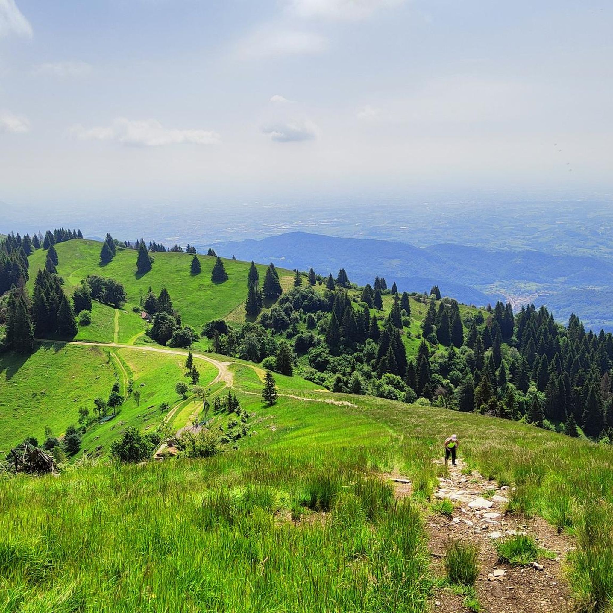
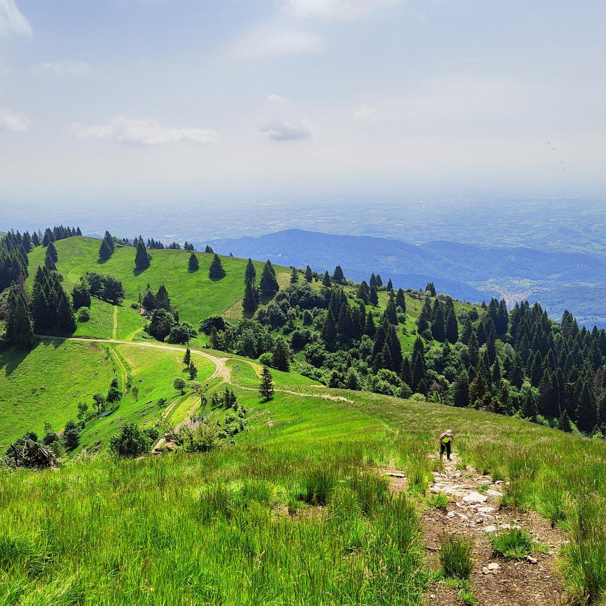
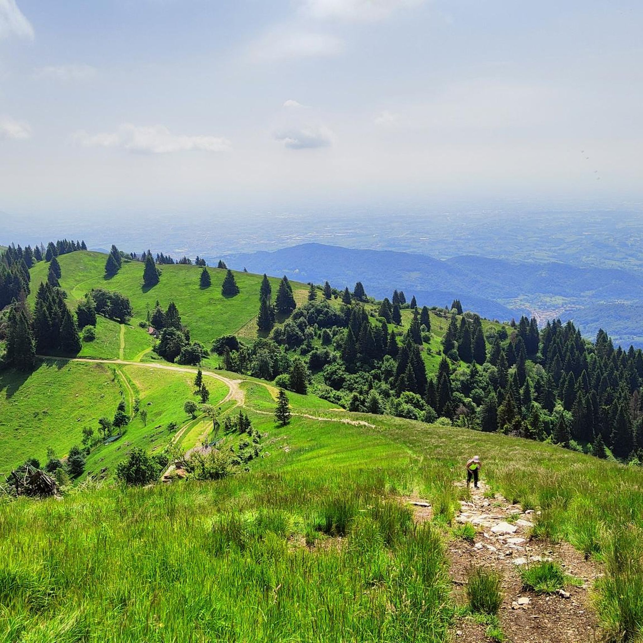
Panoramic summit, easily reachable from the Loff bivouac.
0
0

Besides being a beautiful climb, it is a masterpiece of road engineering.
3
0
Frequently Asked Questions
How many mountaineering routes are available around Trichiana?
There are 7 mountaineering routes documented around Trichiana on komoot. These routes offer a mix of moderate and difficult ascents, providing options for various skill levels.
Are there any circular mountaineering routes near Trichiana?
Yes, several routes are circular. For example, the challenging Monte Pizzocco summit loop from San Gregorio nelle Alpi offers extensive views. A moderate option is the San Boldo Pass – Loff Bivouac loop from San Boldo, which includes the unique San Boldo Pass.
What kind of terrain can I expect on mountaineering routes in Trichiana?
The terrain around Trichiana is diverse, ranging from forested hills and meadows to more rugged mountainous paths. You'll encounter striking natural features like deep canyons, panoramic mountain passes, and the pre-alpine landscape at the foothills of the Belluno Dolomites and Venetian Prealps.
Are there any easy mountaineering routes suitable for beginners in Trichiana?
While all routes are categorized as moderate or difficult, the Molinetto della Croda loop from Refrontolo is a shorter, moderate option, covering 5.2 km in about 1 hour 46 minutes. It leads through varied terrain and is a good introduction to the area's trails.
What are some notable natural features or landmarks I might see on a mountaineering route?
Mountaineering routes in the Trichiana area often pass by significant natural and historical landmarks. You might encounter the unique construction of the San Boldo Pass, known for its tunnels and hairpin bends. The region is also close to the Dolomiti Bellunesi National Park, offering spectacular views and rich biodiversity. The Molinetto della Croda, a historic mill built into the rock, is another point of interest.
What is the best time of year for mountaineering in Trichiana?
The region's diverse landscape is enjoyable across seasons. Spring and autumn offer pleasant temperatures and vibrant scenery, while summer provides longer daylight hours for more extensive treks. Winter mountaineering is possible but requires appropriate gear and experience due to potential snow and ice conditions, especially at higher elevations.
Are there any routes that offer extensive panoramic views?
Yes, the Monte Pizzocco summit loop from San Gregorio nelle Alpi is renowned for its extensive panoramic views from the summit, which can stretch far across the landscape on clear days.
What do other mountaineers say about the routes in Trichiana?
The mountaineering routes in Trichiana are highly rated by the komoot community, with an average score of 5.0 stars. Users often praise the diverse natural scenery, the challenging yet rewarding ascents, and the unique landmarks found along the trails.
Are there any routes that lead to a mountain bivouac?
Yes, the San Boldo Pass – Loff Bivouac loop from San Boldo leads to a mountain bivouac, offering a potential resting point or destination for your trek.
Can I find routes with significant elevation gain for a challenging experience?
For a challenging experience with significant elevation gain, consider the Monte Pizzocco summit loop from San Gregorio nelle Alpi. This difficult route involves over 1400 meters of ascent and descent, providing a strenuous workout and rewarding views.
Are there other outdoor activities available near Trichiana besides mountaineering?
Yes, the wider Borgo Valbelluna area, where Trichiana is located, offers opportunities for other outdoor activities. You can find bike parks, mountain biking trails, and even canyoning in the region. The nearby Pian delle Femene Saddle is also a popular spot for various outdoor pursuits.
Most popular routes around Trichiana
Most popular attractions around Trichiana

Get inspired with the komoot mobile app


Explore more
Browse the best Mountain Hikes & Routes in other regions.
