The best mountain hikes around Lentiai
4.0
(2)
8
hikers
2
hikes
Mountaineering routes around Lentiai are characterized by the rugged terrain of the Belluno Dolomites, featuring prominent peaks and varied elevations. The region offers a mix of challenging ascents and routes through forested valleys. This landscape provides diverse opportunities for mountaineers seeking both demanding summit attempts and scenic trails.
Best mountaineering routes around Lentiai
- The most popular mountaineering route is Monte Pizzocco summit loop from San Gregorio nelle Alpi, a 7.3 miles (11.7 km) trail that takes 7 hours 35…
Last updated: May 25, 2026
3
hikers
9.44km
05:33
980m
980m
Hard mountaineering route. Very good fitness required. Sure-footedness, sturdy shoes and alpine experience required.
3.0
(1)
3
hikers
6.73km
04:16
820m
820m
Hard mountaineering route. Good fitness required. Sure-footedness, sturdy shoes and alpine experience required.

Sign up for free
5.0
(1)
2
hikers
11.7km
04:05
660m
650m
Moderate mountaineering route. Good fitness required. Easily-accessible paths. Suitable for all skill levels.
Our route recommendations are based on thousands of hikes, rides, and runs completed by other people on komoot.
Start today with a free account
Your next adventure awaits.
Login or Signup

Tips from the Community


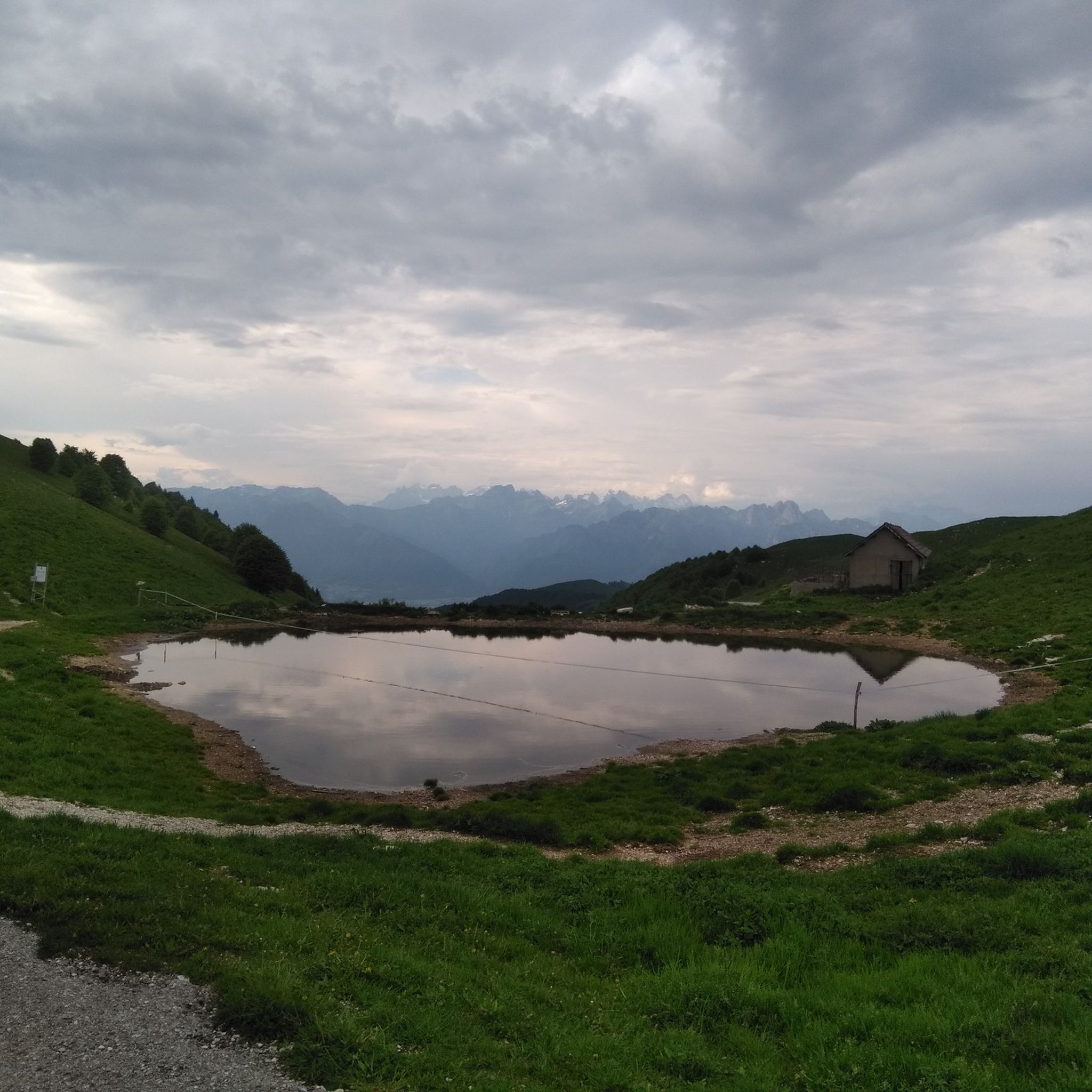
Il Cason de Bazin is a private hut located in Col de Fì, at 1200 m above sea level, on the ridge leading to Monte Zogo.
0
0

Panoramic summit, easily reachable from the Loff bivouac.
0
0

It can be reached via a comfortable but sometimes very steep road. Stunning views of the Piave Valley.
0
0

Bivouac renovated from an old mountain hut with 4 bunk beds and a small table inside. Tables and fireplace outside. Water source and woodshed near the bivouac
0
0

Very steep section for the first half. Vertical walls to climb. Be very careful
0
0

the little Madonna inside the bomb is beautiful
1
0
Frequently Asked Questions
How challenging are the mountaineering routes around Lentiai?
The mountaineering routes in Lentiai offer a range of difficulties. You'll find challenging ascents like the Monte Pizzocco summit loop from San Gregorio nelle Alpi, which is rated difficult. There are also moderate options such as the Bivacco dei Loff – Crodon del Gevero loop from Bosco delle Penne Mozze, leading through forested areas with scenic views.
What is the typical duration for mountaineering routes in Lentiai?
Route durations vary depending on difficulty and distance. For example, the difficult Monte Pizzocco summit loop typically takes around 7 hours and 35 minutes to complete. Shorter, moderate routes like the Monte Zogo – View of the Valley loop from Valpiana can be completed in about 4 hours and 5 minutes.
Are there any beginner-friendly or family-friendly mountaineering routes in Lentiai?
While many routes in Lentiai are rated moderate to difficult, the region does offer options that might be suitable for those with some experience or families looking for a less strenuous climb. The Bivacco dei Loff – Crodon del Gevero loop is a moderate route that could be a good introduction to the area's terrain.
Can I bring my dog on mountaineering trails in Lentiai?
Generally, dogs are welcome on many trails in the Dolomites region, but it's always best to check local regulations for specific routes or protected areas. Ensure your dog is well-behaved, on a leash where required, and that you carry out all waste. Some routes may have sections that are challenging for pets due to steepness or rocky terrain.
Are there circular mountaineering routes available around Lentiai?
Yes, several mountaineering routes around Lentiai are designed as loops, offering varied scenery without retracing your steps. Examples include the Monte Pizzocco summit loop from San Gregorio nelle Alpi and the Monte Piz Summit Cross loop from San Gregorio nelle Alpi.
When is the best time of year for mountaineering in Lentiai?
The best time for mountaineering in Lentiai is typically from late spring to early autumn (June to September) when the weather is more stable, and trails are generally free of snow. During these months, you'll experience pleasant temperatures and clear views of the Belluno Dolomites. Always check local weather forecasts before heading out.
What gear should I bring for mountaineering in Lentiai?
For mountaineering in Lentiai, especially during summer, essential gear includes sturdy hiking boots with good ankle support, layered clothing (including waterproofs), a backpack with sufficient water and snacks, a map and compass or GPS device, sun protection, and a first-aid kit. For more challenging routes, consider trekking poles.
Are there places to eat or drink near the mountaineering routes?
While specific cafes might not be directly on every trail, many routes start or end near villages like San Gregorio nelle Alpi or Valpiana, where you can find local eateries or shops to refuel. It's always advisable to carry enough provisions for your hike, especially on longer or more remote routes.
Are there any wild swimming spots near the mountaineering routes?
The region around Lentiai, being part of the Dolomites, features numerous rivers and streams. While specific designated wild swimming spots directly adjacent to mountaineering routes might be limited, you may find refreshing natural pools in some of the valleys. Always exercise caution and respect local regulations if you choose to swim in natural waters.
What can I see along the mountaineering routes or nearby?
Beyond the stunning mountain vistas, you can explore various attractions. For instance, the area features impressive gorges like Brent de l'Art and beautiful waterfalls such as Gor della Cuna Waterfall. There are also historical sites and castles, including the notable Castelbrando, which can be visited as separate excursions.
What do other mountaineers enjoy most about mountaineering in Lentiai?
The mountaineering routes in Lentiai are highly rated by the komoot community, with an average score of 4.0 stars. Reviewers often praise the diverse terrain, from challenging ascents to forested valleys, and the rewarding views of the Belluno Dolomites. The variety of options for different skill levels is also frequently highlighted.
How many mountaineering routes are there in Lentiai?
Komoot currently features a selection of 3 mountaineering routes around Lentiai, offering a range of experiences from moderate to difficult. These routes showcase the rugged beauty of the Belluno Dolomites.
Most popular routes around Lentiai
Most popular attractions around Lentiai

Get inspired with the komoot mobile app


Explore more
Browse the best Mountain Hikes & Routes in other regions.
