The best mountain hikes around Arsiè
4.8
(17)
162
hikers
8
hikes
Mountaineering routes around Arsiè are situated in Italy's Province of Belluno, offering diverse terrain between the Grappa Massif and the Asiago Plateau. The region features altitudes ranging from 300 to 1,500 meters, providing varied landscapes for exploration. Proximity to the Dolomiti Bellunesi National Park, a UNESCO World Heritage site, ensures access to significant mountain scenery and challenging routes. Lake Corlo adds a distinctive natural feature to the area's geography.
Best mountaineering routes around Arsiè
- The most popular mountaineering route is…
Last updated: October 8, 2026
4.7
(9)
47
hikers
Hard mountaineering route. Good fitness required. Sure-footedness, sturdy shoes and alpine experience required.
5.0
(4)
34
hikers
8.83km
04:49
780m
780m
Hard mountaineering route. Good fitness required. Sure-footedness, sturdy shoes and alpine experience required.

5.0
(2)
36
hikers
14.3km
07:24
1,270m
1,270m
Hard mountaineering route. Very good fitness required. Sure-footedness, sturdy shoes and alpine experience required.
30
hikers
12.0km
06:37
1,130m
1,130m
Hard mountaineering route. Very good fitness required. Sure-footedness, sturdy shoes and alpine experience required.
6
hikers
13.2km
04:10
470m
470m
Hard mountaineering route. Good fitness required. Sure-footedness, sturdy shoes and alpine experience required.
Get access to more routes and recommendations from other explorers.
Already have an account?
Our route recommendations are based on thousands of hikes, rides, and runs completed by other people on komoot.
Start today with a free account
Your next adventure awaits.

Tips from the Community

To be precise, Mount Coppolo, like its entire ridge, is entirely in Vicenza territory. The border passes 1 km further north.
0
0

Day and night, in summer and in winter, it is always a wonder.
0
0

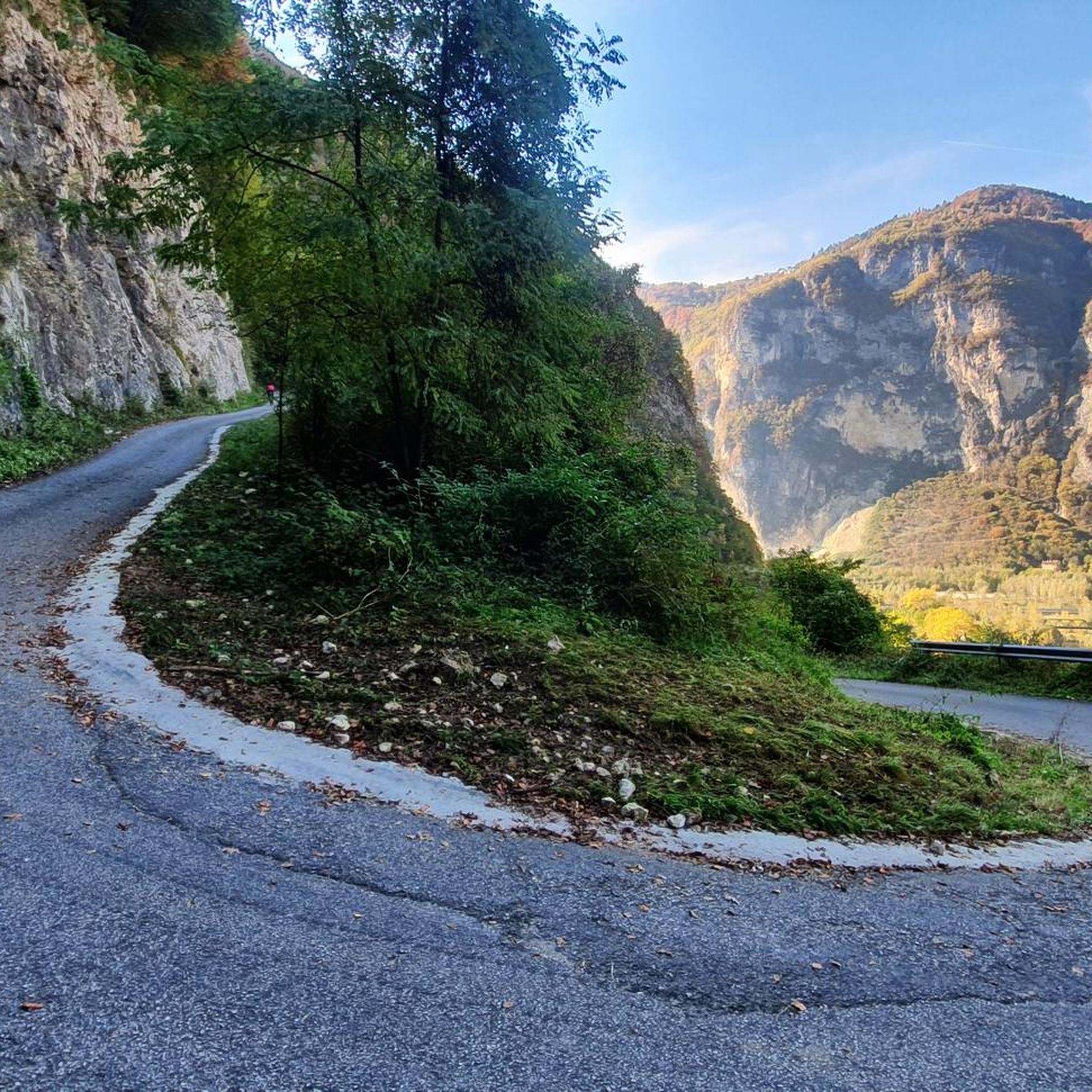
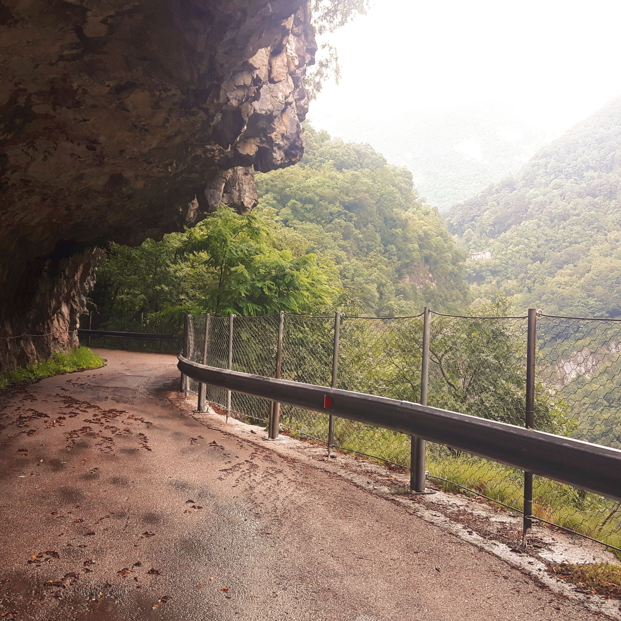
The Sentiero delle Meatte is one of the most spectacular and frequented hiking routes in the Grappa Massif, located on the Treviso side above the town of San Liberale. This path, which winds at an altitude of about 1,300-1,500 meters, is a masterpiece of military engineering from the Great War, entirely carved into the rock to allow the movement of troops and supplies at high altitude. Characterized by a moderate slope and a series of tunnels and aerial passages, the trail offers dizzying views ranging from the Venetian plain to the peaks of the Dolomites. Walking along the Meatte means crossing an open-air museum, where the wild beauty of the grassy ridges blends with the historical memory of the fortifications, barracks, and trenches still visible along the route.
0
0


One of the few via ferratas in the Brenta Massif. This C/D climb runs along a ridge on the southeast flank of Monte Grappa and runs above a tunnel on the SP141. An exit is also available there.
0
0
Beautiful via ferrata of medium difficulty, lasting about two hours and with a difference in altitude of about 250 m. It has a long and steep approach path that can exhaust your energy a bit for the via ferrata itself. The via ferrata ends with a beautiful bridge suspended between two rock pillars. For the descent I recommend taking the beautiful path 152 delle Meatte and then 151, but there are also other options, including the via ferrata Guzzella downhill for those who still have strength. Finally, be careful that the exposure is south so always under the sun's rays: hence the name 'Sass Brusai'.
1
0


The question is: why is this place worth visiting? The answer is only one: because the landscape is wonderful, because there is a spectacular view, because it is a site of historical importance, because in this place emotions and thoughts are unleashed. Getting there by the route I took is not difficult or dangerous and with the snow it is a spectacle. Good legs and in a few hours you can get there.
1
0
Frequently Asked Questions
What is the general difficulty level of mountaineering routes around Arsiè?
The mountaineering routes around Arsiè are primarily suited for experienced mountaineers. Out of approximately 9 routes, the vast majority are rated as difficult, often involving technical sections characteristic of via ferrata. There is one route rated as moderate, but no easy routes are listed for mountaineering in this area.
Are there any via ferrata routes in Arsiè?
Yes, Arsiè is well-known for its via ferrata routes. Notable options include the Via Ferrata Pilastro dei Sei – Monte Coppolo loop from San Donato and the Via Ferrata Sass Brusai loop from Pieve del Grappa. These routes offer challenging ascents and are a significant draw for mountaineers in the region.
What historical landmarks can I see while mountaineering in Arsiè?
The region is rich in history, particularly related to World War I. Many routes, such as the Via Ferrata Sass Brusai – Monte Grappa War Memorial loop from Pieve del Grappa, incorporate historical sites. The Grappa Massif features numerous military fortifications and memorials, including the monumental ossuary on Cima Grappa, offering a profound historical experience alongside your climb.
Are there any circular mountaineering routes available?
Yes, several mountaineering routes around Arsiè are designed as loops. Examples include the Via Ferrata Pilastro dei Sei – Monte Coppolo loop from San Donato and the Mountaineering loop from Pieve del Grappa. These circular routes allow you to start and end at the same point, often providing diverse scenery along the way.
What unique natural features can I expect to see while mountaineering in this region?
The Arsiè region is characterized by the rugged Grappa Massif and the expansive Asiago Plateau. You'll encounter diverse rock formations and dramatic mountain scenery. While not directly on mountaineering routes, the nearby Lake Corlo, often described as a 'little Norwegian fjord,' offers a beautiful contrast and is easily accessible from Arsiè. The Ponte Serra and Waterfall is another natural highlight in the vicinity.
Can I find waterfalls or caves near the mountaineering trails?
Yes, the area around Arsiè features several natural attractions like waterfalls and caves that can be explored. Notable waterfalls include the Salton Waterfall and Le Coste Waterfall. For caves, you might explore the Grotta dell'acqua nera or Bus de la Bela. These are often accessible as separate excursions or short detours.
What do other mountaineers say about the routes in Arsiè?
The mountaineering routes in Arsiè are highly regarded by the komoot community, holding an average rating of 4.7 stars from over 10 reviews. Mountaineers frequently praise the challenging nature of the via ferrata, the stunning panoramic views from peaks like Monte Grappa, and the historical significance embedded in many of the trails.
Is there public transport available to reach mountaineering trailheads near Arsiè?
While Arsiè itself is accessible by public transport, direct public transport links to specific, remote mountaineering trailheads can be limited. It is often advisable to use a car for greater flexibility, especially for early morning starts or late finishes. Check local bus schedules for connections to larger towns near the Grappa Massif or Asiago Plateau, and plan for potential taxi services for the final leg to the trailhead.
What is the best time of year for mountaineering in Arsiè?
The best time for mountaineering in Arsiè is generally from late spring to early autumn (May to October), when the weather is more stable, and trails are free of snow and ice. While the refuge on Monte Grappa is open year-round, technical mountaineering and via ferrata routes are best enjoyed in warmer, drier conditions. Always check local weather forecasts and trail conditions before heading out.
Are there any less crowded or 'hidden gem' mountaineering routes in Arsiè?
While the popular via ferrata routes can attract visitors, the extensive network of trails across the Grappa Massif and Asiago Plateau means you can often find quieter paths. Exploring routes like the Monte Grappa – Val delle Mure loop from Albergo Forcelletto might offer a more secluded experience, especially during off-peak hours or weekdays. The sheer number of climbing routes in the wider Grappa Massif (over 1500) suggests many opportunities to find less frequented spots.
Where can I find more information about climbing and mountaineering in the wider region?
For broader information on climbing and mountaineering opportunities beyond Arsiè, particularly on the Asiago Plateau, you can visit resources like visitaltopianoasiago.com. For general information about the Belluno Dolomites region, visitdolomitibellunesi.com provides context on Arsiè and its surroundings.
Most popular attractions around Arsiè

Get inspired with the komoot mobile app


Explore more
Browse the best Mountain Hikes & Routes in other regions.
