The best road cycling routes around Grigno
4.6
(400)
10,855
riders
10
rides
Road cycling around Grigno, located in Italy's Trentino region, features diverse terrain ranging from riverside paths to challenging mountain passes. The area is characterized by the Brenta River valley, which offers mostly flat sections, contrasting with significant elevation gains towards alpine plateaus and passes. Cyclists encounter a landscape composed of green mountains, valleys, and high-altitude areas.
Best road cycling routes around Grigno
- The most popular road cycling route is Passo Brocon – Primolano Steps loop from Grigno, a 67.5…
Last updated: September 30, 2026
4.8
(21)
1,137
riders
107km
06:05
2,410m
2,410m
Hard road ride. Very good fitness required. Mostly well-paved surfaces and easy to ride.
4.3
(26)
284
riders
53.9km
02:37
780m
780m
Moderate road ride. Good fitness required. Mostly well-paved surfaces and easy to ride.

4.7
(7)
290
riders
109km
06:20
2,470m
2,470m
Hard road ride. Very good fitness required. Mostly well-paved surfaces and easy to ride.
5.0
(5)
241
riders
206km
10:08
3,090m
3,090m
Hard road ride. Very good fitness required. Some segments of this route may be unpaved and difficult to ride.
4.7
(7)
184
riders
45.7km
02:25
880m
880m
Moderate road ride. Good fitness required. Mostly well-paved surfaces and easy to ride.
Get access to more routes and recommendations from other explorers.
Already have an account?
Our route recommendations are based on thousands of hikes, rides, and runs completed by other people on komoot.
Start today with a free account
Your next adventure awaits.
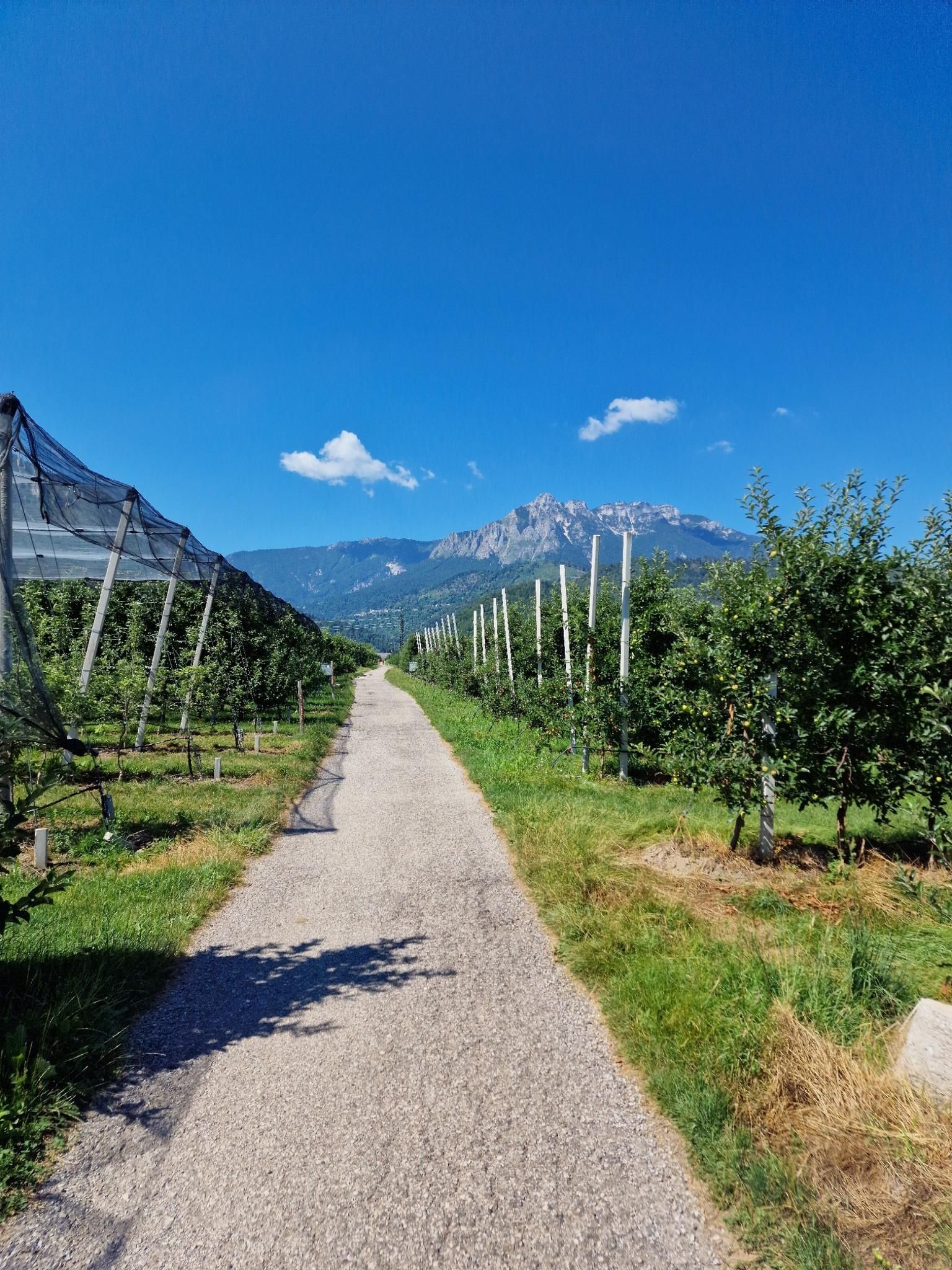
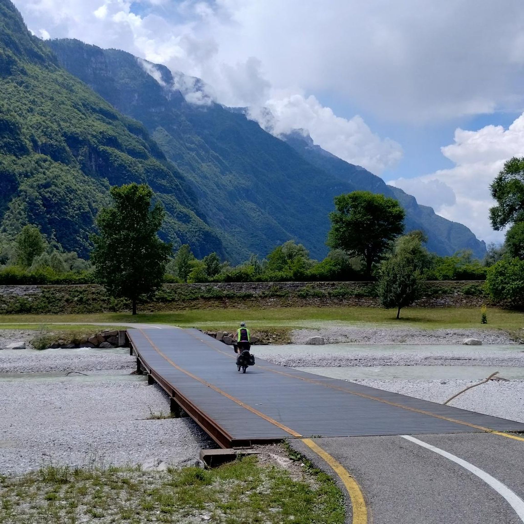
Other adventures around Grigno

Tips from the Community

From Caldonazzo, a beautiful cycle path leads along the shore of the lake to Pergine. For swimming, it's better to head to the neighboring Lago di Levico.
0
0

Quiet village, touristy in summer due to its beautiful lake,
0
0

Ponte di Tezze, nearby there is the Bicigrill
0
0

The Brenta cycle path is a beautiful bike route (trekking bikes, mountain bikes, and gravel bikes are recommended, as there are both paved and light dirt sections on the banks) that connects the mountains of Trento to the lagoon of Venice, passing through Bassano del Grappa and Padua. It is a total of about 175 kilometers long, has comfortable roads, and is easy for everyone to cycle.
0
0
historic mountain road with eight hairpin bends, the Tagliata della Scala and the Tagliata delle Fontanelle. They are located between the Valsugana and the territory of Feltre, in Veneto. The fortifications: Between 1892 and 1895, the Tagliata della Scala in the lower part and the Tagliata delle Fontanelle in the upper part were built to defend the border. The walkway: The two parts are joined by a long covered gallery with loopholes. War: They did not play a major military role during World War I and were later abandoned.
0
0
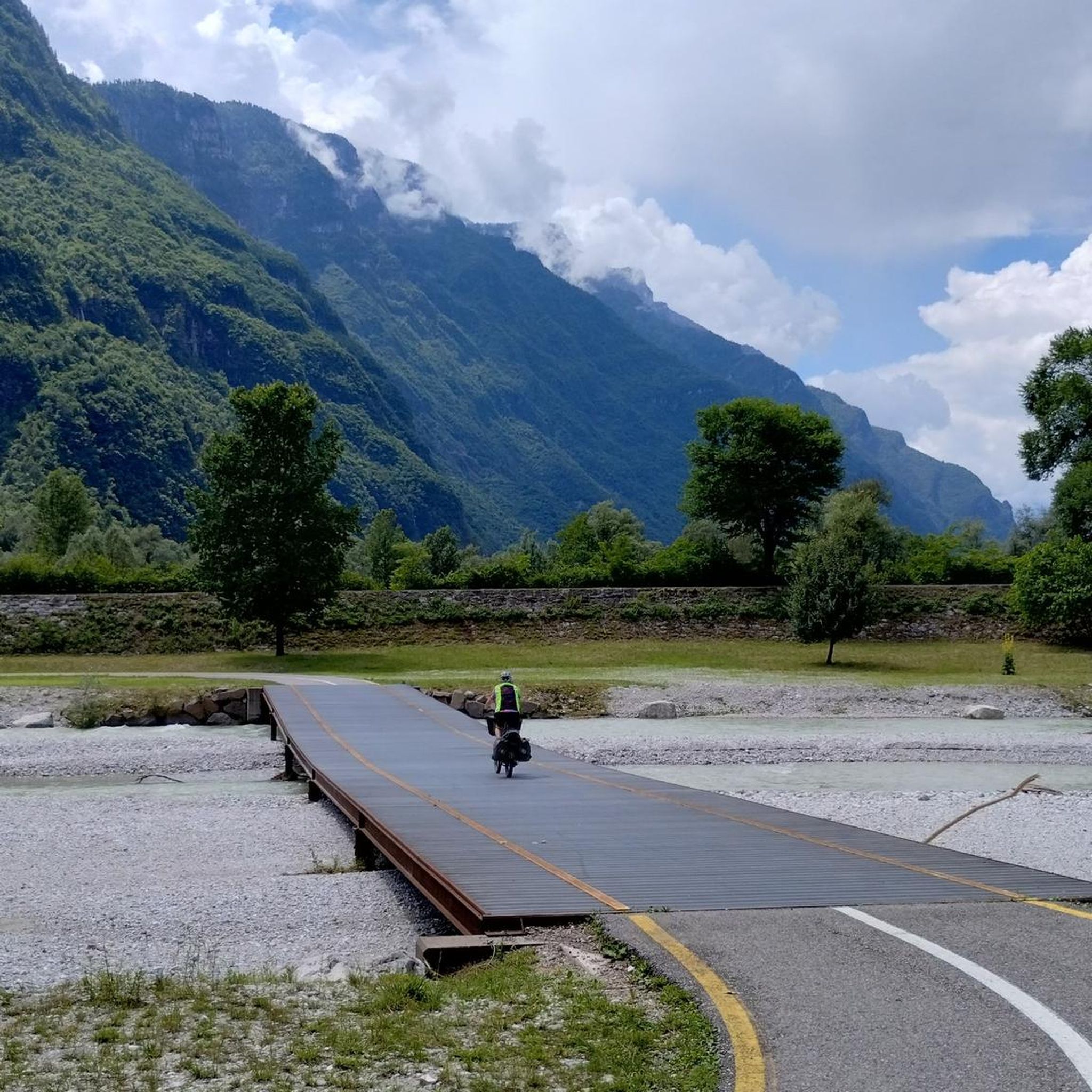
The beautiful and fresh cycle path along the river
1
0
The cycle path towards Cismon del Grappa, very cool and shaded.
0
0
Fortification built in a natural cave. In the Great War it was a blocking point defending Valsugana. There are references to it as a fortification around the year 1000.
0
0
Frequently Asked Questions
How many road cycling routes are available around Grigno?
Grigno offers a diverse network of road cycling routes. You can find over 10 routes, ranging from easy riverside paths to challenging mountain ascents, catering to various skill levels.
What are the easiest road cycling routes for beginners or families in Grigno?
For an easy and family-friendly experience, the Valsugana cycle-pedestrian path, also known as "La via del Brenta," is ideal. It features mostly flat, smooth sections along the Brenta River, perfect for all fitness levels. While specific easy routes are not detailed in the guide, the Valsugana path is a great starting point for a relaxed ride.
Are there challenging mountain climbs for experienced road cyclists in the Grigno area?
Absolutely. Grigno is a gateway to several demanding ascents. For instance, the Passo Brocon – Primolano Steps loop from Grigno is a difficult route with substantial climbs, reaching 1600 meters from Grigno. Another challenging option is the Cima Grappa – Primolano Steps loop from Tezze di Grigno, which includes significant elevation changes and offers expansive views.
Can I find circular road cycling routes around Grigno?
Yes, many routes around Grigno are designed as loops, allowing you to start and finish in the same location. Examples include the Passo Brocon – Primolano Steps loop from Grigno, the Cima Grappa – Primolano Steps loop from Tezze di Grigno, and the Boal del Diavolo Switchbacks – Valsugana Cycle Route loop from Grigno.
What kind of landscapes and natural features will I encounter on Grigno's road cycling routes?
You'll experience diverse landscapes, from serene riverside paths along the Brenta River to high mountain passes and plateaus. Routes often feature green pastures, alpine environments, and stunning panoramic views of valleys. The ascent to areas like the Marcesina Plateau offers picturesque scenery with mountain huts.
Are there any historical landmarks or points of interest along the cycling routes?
Yes, some routes, particularly those leading to the Marcesina Plateau, pass through sites with historical significance related to World War I. You can also explore natural monuments like the Monte Fior Rock City or visit memorials such as the Mount Ortigara Memorial. Additionally, the Vaia Eagle of Marcesina is a notable man-made monument in the area.
What do other cyclists say about road cycling in Grigno?
The road cycling routes around Grigno are highly rated by the komoot community, with an average score of 4.7 stars from over 160 reviews. Cyclists often praise the varied terrain, from scenic riverside rides to challenging mountain climbs, and the breathtaking views encountered along the way.
What is the best time of year to go road cycling in Grigno?
The Trentino region, where Grigno is located, generally offers excellent cycling conditions from spring through autumn. During these seasons, the weather is typically mild, making it pleasant for both valley rides and mountain ascents. High mountain passes might be inaccessible due to snow in early spring or late autumn.
Are there amenities like cafes or rest stops available along the routes?
Yes, the broader Valsugana and Lagorai area, which includes Grigno, is known for being cyclist-friendly. You can find amenities like "Bicigrills" (bike-friendly rest stops) along some routes. Additionally, mountain huts such as Barricata Hut or Valmaron Hut can be found in higher elevations, offering places to rest and refuel.
What are the typical distances and elevation gains for road cycling routes in Grigno?
Route distances vary significantly, from moderate rides of around 45 km, like the Boal del Diavolo Switchbacks – Valsugana Cycle Route loop from Grigno with about 880m elevation gain, to extensive tours over 100 km. For example, the Primolano Steps – View of Valstagna loop from Grigno covers over 200 km with more than 3000m of elevation gain, catering to very fit cyclists.
Is there parking available near the road cycling routes in Grigno?
While specific parking locations are not detailed for every route, Grigno is a well-regarded cycling destination, and it's generally possible to find parking in or near the town center to access the various routes. Many routes start directly from Grigno or nearby villages.
Can I reach Grigno and its cycling routes using public transport?
Grigno is located in the Trentino region, which generally has good public transport connections. While specific details for reaching every trailhead by public transport are not provided, it's advisable to check local bus or train schedules for connections to Grigno, especially if you plan to access routes that start directly from the town.
Most popular attractions around Grigno

Get inspired with the komoot mobile app


Explore more
Browse the best Road cycling routes in other regions.
