The best walks and hikes around Spresiano
4.3
(1006)
5,229
hikers
15
hikes
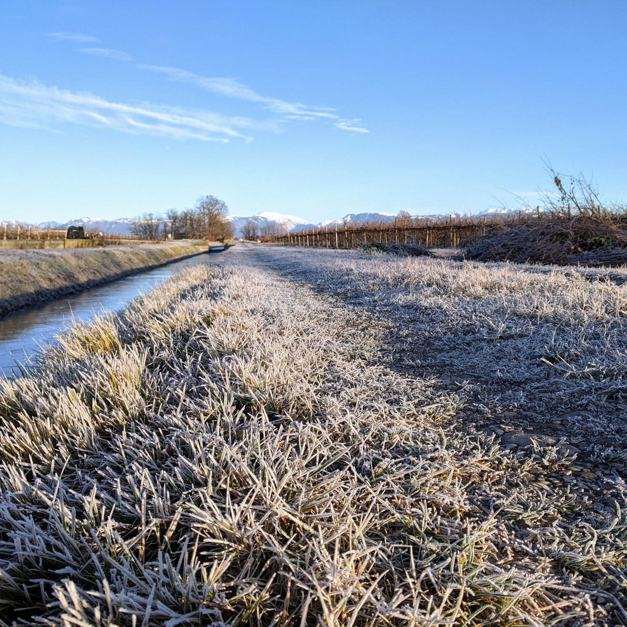
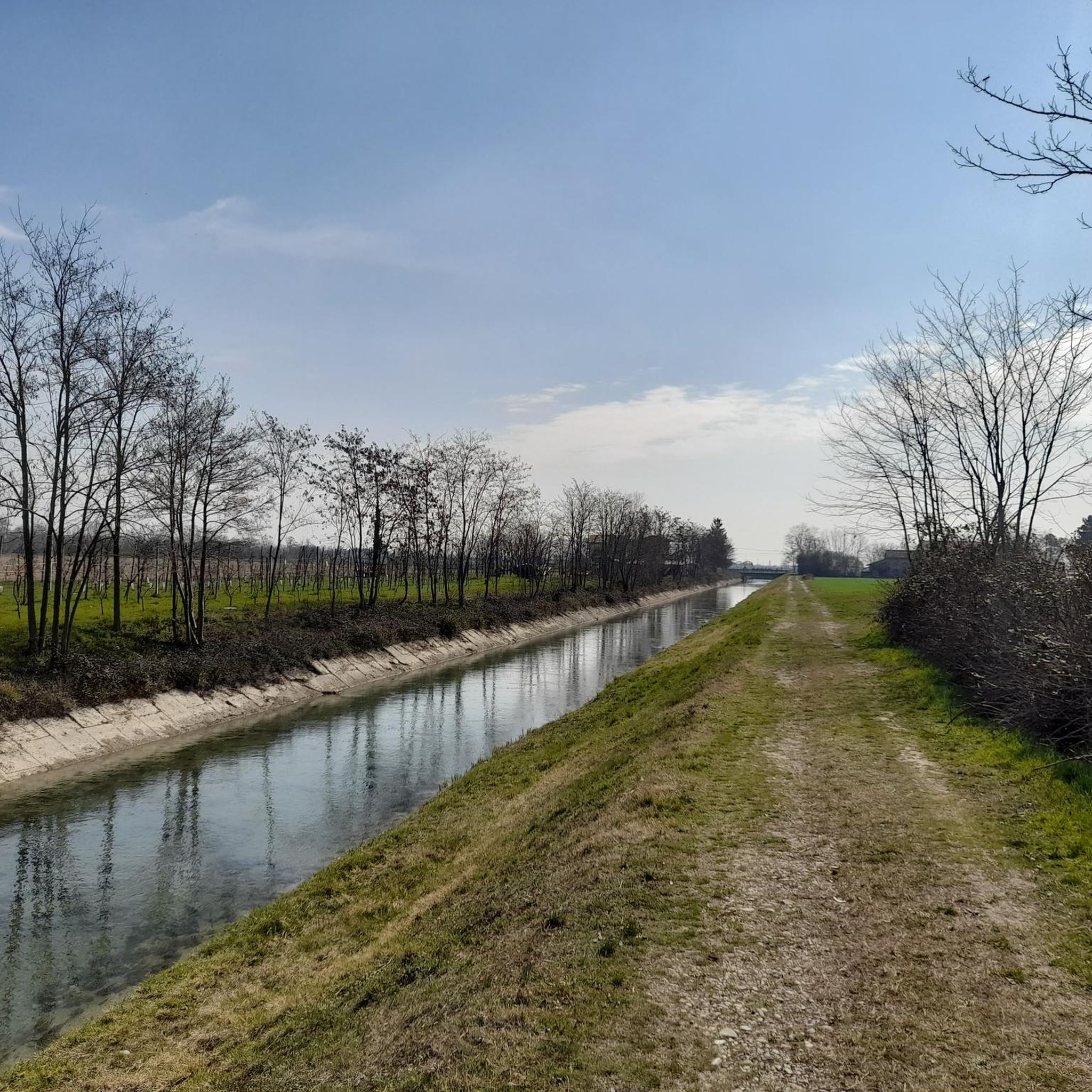
Hiking around Spresiano offers routes through the fertile plains and agricultural landscapes of Italy's Veneto region. The area is characterized by its proximity to the Piave River, which has shaped its natural and historical development. Trails often feature accessible paths, with gentle elevation changes across rolling terrain.
Best hiking trails around Spresiano
- The most popular hiking route is Lago delle Bandie loop from Lovadina, a 4.7 miles (7.5 km) trail that takes 1 hour 56 minutes to complete. This…
Last updated: August 18, 2026
4.5
(44)
158
hikers
7.54km
01:56
30m
30m
Easy hike. Great for any fitness level. Easily-accessible paths. Suitable for all skill levels.
5.0
(3)
23
hikers
8.43km
02:10
40m
40m
Moderate hike. Good fitness required. Easily-accessible paths. Suitable for all skill levels.

Sign up for free
5.0
(1)
9
hikers
3.09km
00:47
10m
10m
Easy hike. Great for any fitness level. Easily-accessible paths. Suitable for all skill levels.
7
hikers
6.75km
01:43
10m
10m
Easy hike. Great for any fitness level. Easily-accessible paths. Suitable for all skill levels.
5
hikers
Moderate hike. Good fitness required. Easily-accessible paths. Suitable for all skill levels.
Get access to more routes and recommendations from other explorers.
Sign up for free
Already have an account?
Our route recommendations are based on thousands of hikes, rides, and runs completed by other people on komoot.
Start today with a free account
Your next adventure awaits.
Login or Signup


Other adventures around Spresiano

Tips from the Community

Lake Le Bandie, located in Spresiano, is an artificial basin created from the reclamation of a former gravel pit, now transformed into a multipurpose center of excellence for sport and leisure. The area is surrounded by a loop path perfect for running and mountain biking, immersed in a well-kept natural setting that serves as a green lung for the area. The combination of state-of-the-art sports facilities and ample relaxation spaces makes it an ideal destination for both intensive training and regenerating walks just a stone's throw from the Piave river.
0
0

small chapel near the Piave River, close to the La Nona Pietra farm
0
0

Lake Le Bandie is located in the province of Treviso between the municipalities of Villorba and Spresiano. The “Le Bandie” quarry was activated in the early Seventies, when it was necessary to extract mineral material for the construction of the A27 Venice-Treviso motorway.
12
0

A somewhat scary war memorial but somehow also original again
0
0
Frequently Asked Questions
What types of hiking trails can I find around Spresiano?
Spresiano offers a variety of hiking trails, primarily characterized by the fertile plains and agricultural landscapes of the Veneto region. You'll find routes along the Piave River, through gentle rolling hills, and accessible paths suitable for different fitness levels. There are over 10 hiking routes available, ranging from easy walks to moderate hikes.
Are there any easy, family-friendly hiking routes in Spresiano?
Yes, Spresiano has several easy routes perfect for families. An excellent option is the Lago delle Bandie loop from Lovadina, which is about 7.5 km long and takes less than two hours to complete. This trail features accessible paths around the lake, making it suitable for various fitness levels.
Can I find circular hiking routes in the Spresiano area?
Many of the hiking routes around Spresiano are circular, allowing you to start and end at the same point. For instance, the River Access Point loop from Spresiano is a moderate 10.3 km circular path that follows the Piave River, offering scenic views of the river landscape.
What are the typical durations for hikes around Spresiano?
Hikes around Spresiano vary in length and duration. Easy routes, like the 4.3 km River Access Point loop from Spresiano, can be completed in just over an hour. Moderate trails, such as the River Access Point loop from A.D.M Arredamenti De Martin, typically take around 2 hours and 45 minutes for its 10.9 km distance.
Are there any historical or natural landmarks to see while hiking in Spresiano?
Absolutely. The region is rich in both natural and historical points of interest. You can explore areas shaped by the Piave River, including historical sites like 'L'Isola dei Morti'. Nearby, the La Tradotta Cycle and Pedestrian Path, built on an old railway line, offers a scenic route through the Montello region. Natural highlights include the Le Volpere Nature Trail and the Source of the Meolo River.
What do other hikers say about the trails in Spresiano?
The komoot community highly rates the trails in Spresiano, with an average score of 4.3 stars from over 1000 reviews. Hikers often praise the accessible paths, the peaceful agricultural landscapes, and the scenic views along the Piave River.
Is Spresiano a good destination for dog-friendly hiking?
Yes, the gentle terrain and accessible paths around Spresiano make it suitable for hiking with dogs. Many routes traverse open agricultural areas and riverbanks, providing pleasant environments for walks with your canine companion. Always ensure your dog is on a leash and respect local regulations.
What is the best time of year to go hiking in Spresiano?
Spresiano offers pleasant hiking conditions for much of the year. Spring and autumn are particularly ideal, with mild temperatures and beautiful scenery as the agricultural landscapes change colors. Summer can also be enjoyable, especially for early morning or late afternoon hikes to avoid the midday heat, while winter offers a different, often quieter, experience.
Are there any viewpoints or scenic spots along the hiking trails?
Yes, the trails often provide scenic views, particularly along the Piave River and across the fertile plains. While not directly on every trail, the nearby View of Susegana offers a broader perspective of the surrounding area. The 'Oasi delle Fontane Bianche' also provides opportunities for naturalistic walks and admiring the scenic surroundings.
How can I access the hiking trails in Spresiano, regarding parking and public transport?
Many trailheads in Spresiano are accessible by car, with parking often available near starting points in villages or designated areas. For example, routes like the River Access Point loop from Lovadina typically have nearby parking options. While public transport options exist within the region, it's advisable to check local bus schedules for specific routes to trailheads, as coverage can vary.
Are there any challenging hikes near Spresiano for experienced hikers?
The immediate Spresiano area is characterized by gentle terrain, offering mostly easy to moderate hikes with minimal elevation gain. While there are no 'difficult' graded trails directly in Spresiano, the longer moderate routes, such as the 10.3 km River Access Point loop from Spresiano, can provide a good workout for those seeking a longer distance. For more significant challenges, you might consider exploring the nearby Montello area.
Most popular routes around Spresiano
Most popular attractions around Spresiano

Get inspired with the komoot mobile app


Explore more
Browse the best Hikes in other regions.
